The best mountain hikes in Cotopaxi
4.5
(8)
193
hikers
5
hikes
Mountaineering routes in Cotopaxi are centered around an active stratovolcano, rising to 5,897 meters (19,347 ft) and characterized by its conical shape and glacial cover. The region features high-altitude terrain, including glacier travel and steep snow and ice sections, within Cotopaxi National Park. Climbers encounter volcanic features such as burnt rust-colored slopes and *páramo* grasslands. This area offers challenging high-altitude adventures with panoramic views of the surrounding Andes.
Best mountaineering routes in Cotopaxi
- The most popular mountaineering route is Illiniza…
Last updated: July 2, 2026
4.3
(4)
85
hikers
10.7km
06:15
1,080m
1,080m
Hard mountaineering route. Very good fitness required. Sure-footedness, sturdy shoes and alpine experience required.
4.3
(3)
53
hikers
6.73km
04:44
1,200m
1,200m
Hard mountaineering route. Very good fitness required. Mostly accessible paths. Sure-footedness required.

Sign up for free
36
hikers
11.3km
05:22
740m
740m
Hard mountaineering route. Very good fitness required. Sure-footedness, sturdy shoes and alpine experience required.
5.0
(1)
11
hikers
Moderate mountaineering route. Good fitness required. Mostly accessible paths. Sure-footedness required.
8
hikers
9.35km
04:47
710m
710m
Hard mountaineering route. Good fitness required. Sure-footedness, sturdy shoes and alpine experience required.
Our route recommendations are based on thousands of hikes, rides, and runs completed by other people on komoot.
Start today with a free account
Your next adventure awaits.
Login or Signup
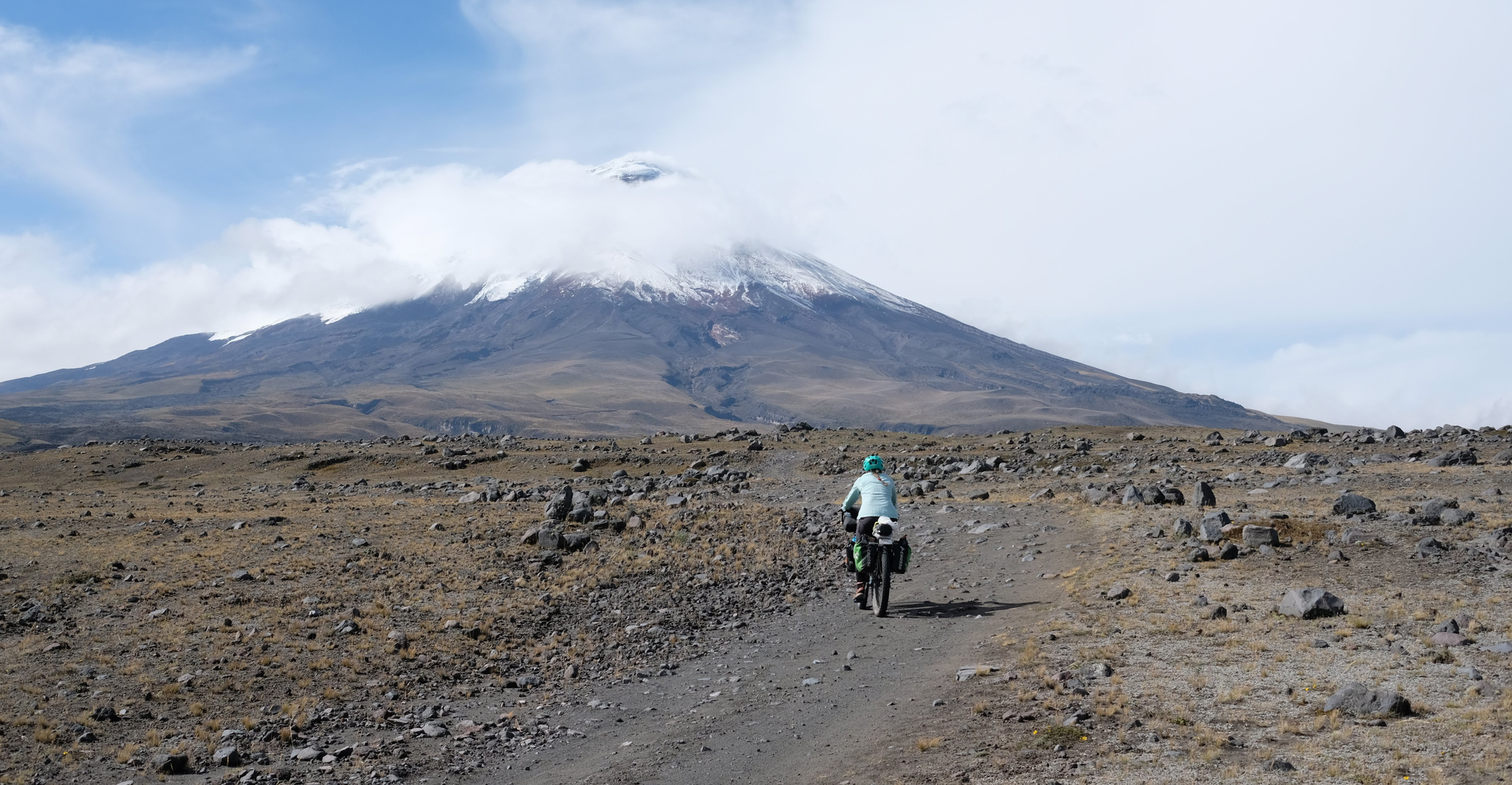
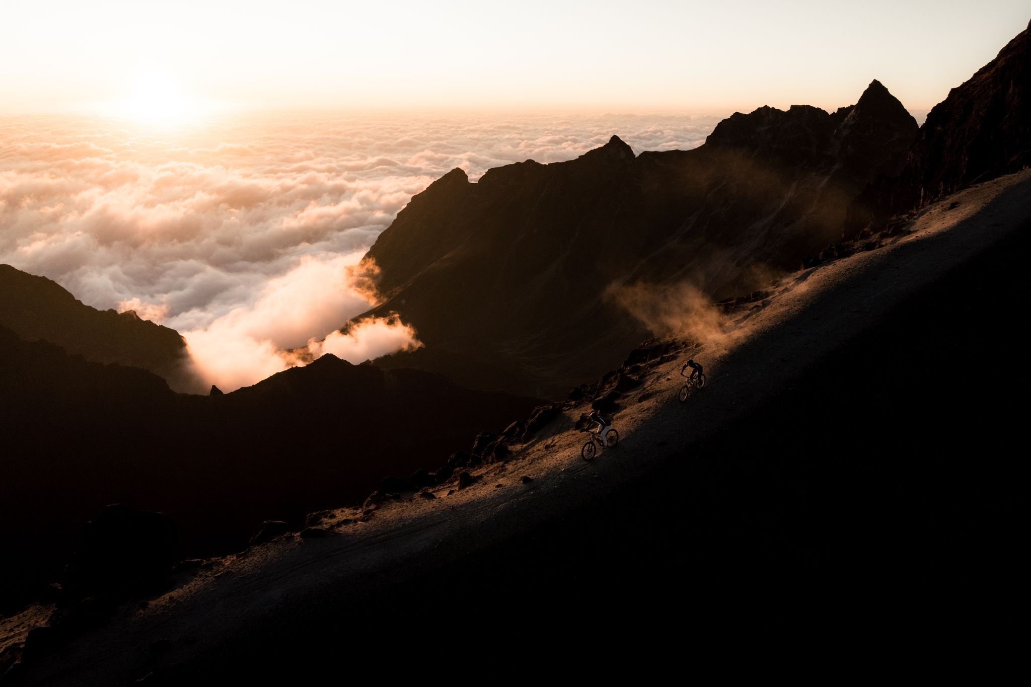
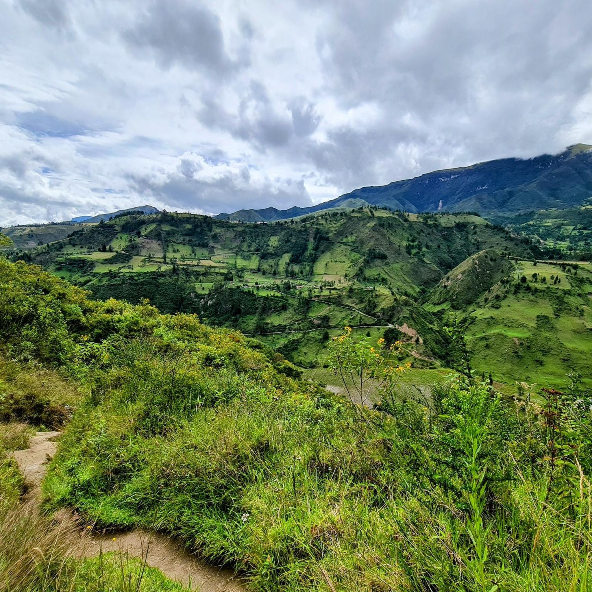
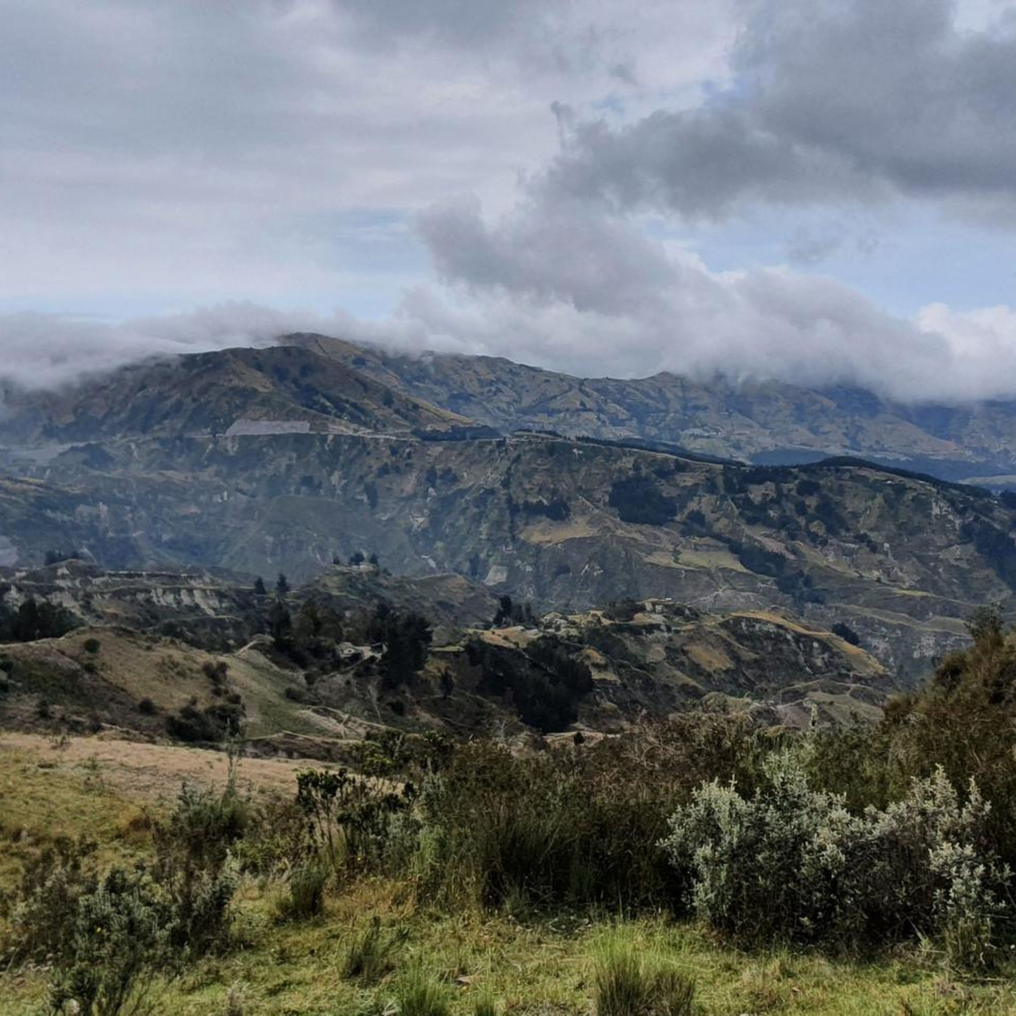
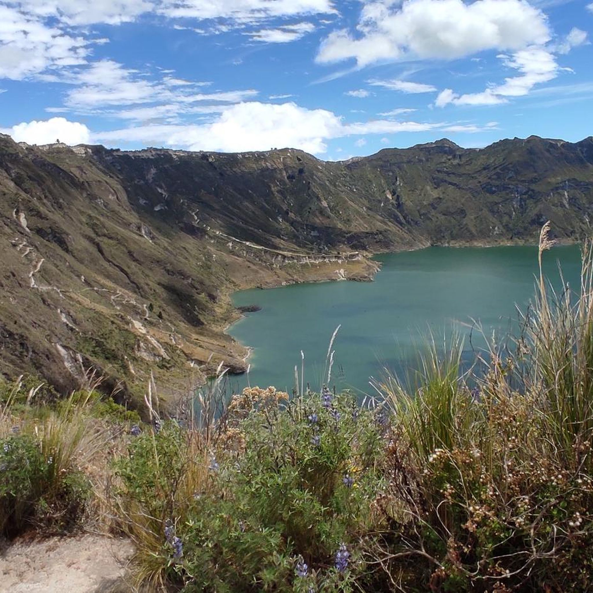


Tips from the Community

It went easier than expected. The air is thin up here but doable.
0
0

This shelter is 4864 steps closer to the moon - for us Europeans - an astonishing height. Cozy inside, it also defies the adverse conditions you'll find outside on your way to the glacier (or the summit). No alcohol is served, there is a highly concentrated cocoa-flavoured sugar solution for refreshment. They like it sweet in the south. No wonder our guide preferred a hearty soup, which is served here as if you were somewhere in the lowlands.
3
1

The Refugio José Rivas is located at 4,864 m altitude. There you can stay overnight by prior reservation or simply strengthen yourself for the hike with coca tea or hot chocolate. There are also some snacks.
1
2

Great mountain to do. Beautiful typical conical volcano peak. Busy and tough!
3
0

Apparently Komoot unfortunately recorded some incorrect data here, which is a shame. Here are the correct dates: We set off from Refugio José Rivas (4864m) at 1 a.m. and arrived at the summit of Cotopaxi (5897m) around 6 a.m. So we walked a little more than 1000 meters in altitude and not 2550. Unfortunately, Komoot probably recognized the GPS position too late, so the trek only begins after the refuge. We also didn't stay near the summit like the map would have us believe. Komoot interrupted the recording here, even though I hadn't touched my cell phone in the freezing temperatures. Otherwise the trek looks very correct. We got down there at 8:30 a.m., but we rushed to get there because the weather wasn't getting any better. You should definitely have very warm clothing, several layers, including for your head and face and ideally ski goggles and definitely very warm gloves, thin thermal gloves and warm and well-insulated mittens. The glacier was very stable under our conditions and covered with a light layer of snow, making it easy to walk on. You need an official guide. For example, you could call the hut and ask for a guide, they probably know almost all of the official guides. There is also an overview of the licensed guides.
4
1

Bring a cloth for the nose. The sulfur smell is really awful in places on the ascent.
1
0

If the weather is nice and the summit has been created, you can still see a few of the volcanoes of the "Avenida" from "halfway up"
1
0
Three things are important: good physical condition, good guide and good weather. 1 -2 is in your own hands.
1
0
Frequently Asked Questions
What kind of terrain and challenges can I expect on mountaineering routes in Cotopaxi?
Mountaineering in Cotopaxi involves high-altitude terrain, including glacier travel and steep snow and ice sections. You'll encounter volcanic features like burnt rust-colored slopes and *páramo* grasslands. The routes are generally challenging, with significant elevation gain, and require proper acclimatization and experience with roped travel, crampons, and ice axes for summit attempts.
Are there any specific regulations or permits required for climbing Cotopaxi?
Yes, Ecuadorian law mandates that climbers attempting Cotopaxi's summit must be accompanied by a certified guide. Additionally, as Cotopaxi is located within Cotopaxi National Park, there are likely park entrance fees and regulations to adhere to. It's advisable to check with local authorities or your guide service for the most current permit requirements.
What natural features and landmarks can I see along the mountaineering routes in Cotopaxi?
The region is rich in natural beauty. You can expect to see the iconic conical shape of Cotopaxi itself, with its glacial cover and otherworldly crevasses. Within Cotopaxi National Park, you might encounter high-altitude *páramo* grasslands and diverse wildlife. Notable attractions include Limpiopungo Lagoon, and you might even spot wild horses. The José Rivas Refuge is a key landmark and base camp for many ascents.
What is the best time of year for mountaineering in Cotopaxi?
The best season for mountaineering in Cotopaxi generally falls during the dry seasons, which are typically from June to August and December to January. During these months, the weather is usually more stable, offering clearer skies and better climbing conditions, though high-altitude weather can be unpredictable at any time.
Are there any routes suitable for acclimatization before attempting Cotopaxi's summit?
Yes, the region offers excellent opportunities for acclimatization. While not explicitly listed as 'beginner-friendly' for mountaineering, routes like Rumiňahui central – La Base loop from Möglicher Übernachtungsplatz, which traverses high-altitude *páramo*, can serve as valuable preparation. Nearby peaks like Rumiñahui and Pasochoa are also commonly used for acclimatization hikes.
What do other mountaineers say about their experiences in Cotopaxi?
The mountaineering routes in Cotopaxi are highly rated by the komoot community, with an average score of 4.5 stars from over 8 reviews. Mountaineers often praise the challenging high-altitude adventures, the stunning panoramic views of the Andes, and the unique experience of climbing an active volcano.
How long does it typically take to complete a mountaineering route in Cotopaxi?
The duration varies significantly by route and individual pace. For example, the challenging Illiniza Norte – La Ensillada (Boquerón) loop from La Virgen, 3900m.ü.M typically takes around 6 hours and 14 minutes. A route like Cotopaxi – Refugio José Rivas loop from Parque Nacional Cotopaxi, which leads to the base camp, is about 4.2 miles and can take several hours depending on the ascent to the refuge itself.
Are there any circular mountaineering routes available in Cotopaxi?
Yes, several routes in the area are designed as loops. For instance, the View of Quilotoa crater lake – Quilotoa Crater Lake loop from Quilotoa offers a moderate circular option, providing stunning views of the crater lake. Another challenging loop is the Sincholahua loop from Ultimo espacio para acampar.
Is it possible to find accommodation or amenities near Cotopaxi National Park?
Yes, there are various accommodation options available near Cotopaxi National Park, ranging from haciendas to guesthouses, catering to climbers and tourists. The José Rivas Refuge itself serves as a crucial base camp with basic amenities for climbers on Cotopaxi.
What wildlife might I encounter on the mountaineering trails in Cotopaxi?
Cotopaxi National Park is home to diverse Andean wildlife. While on the trails, you might spot wild horses, various bird species, and other high-altitude fauna adapted to the *páramo* ecosystem. Keep an eye out for the unique biodiversity of the region.
Are the mountaineering routes in Cotopaxi suitable for families or pets?
The mountaineering routes in Cotopaxi are generally challenging and involve high altitudes, glaciated terrain, and technical sections, making them unsuitable for young children or pets. These routes are designed for experienced mountaineers. However, Cotopaxi National Park offers other, less strenuous hiking opportunities that might be more appropriate for families, though specific dog-friendly regulations should be checked with park authorities.
Most popular attractions in Cotopaxi

Get inspired with the komoot mobile app


Explore more
Browse the best Mountain Hikes & Routes in other regions.
