The best walks and hikes in Cotopaxi
4.8
(379)
3,260
hikers
20
hikes
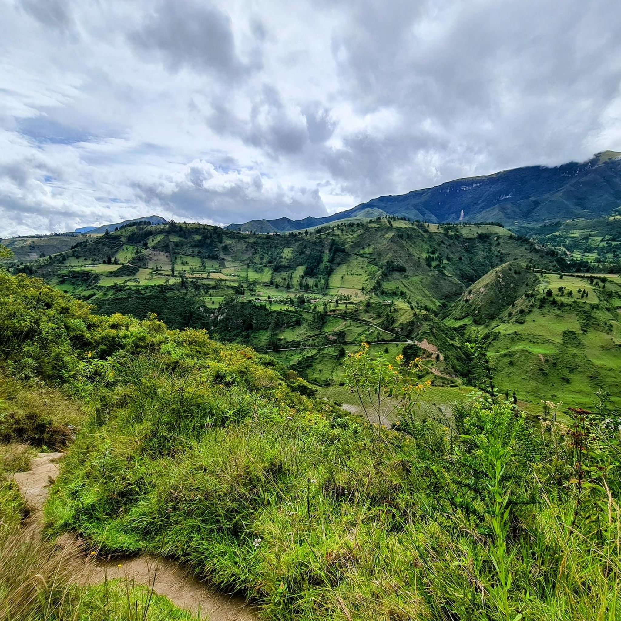
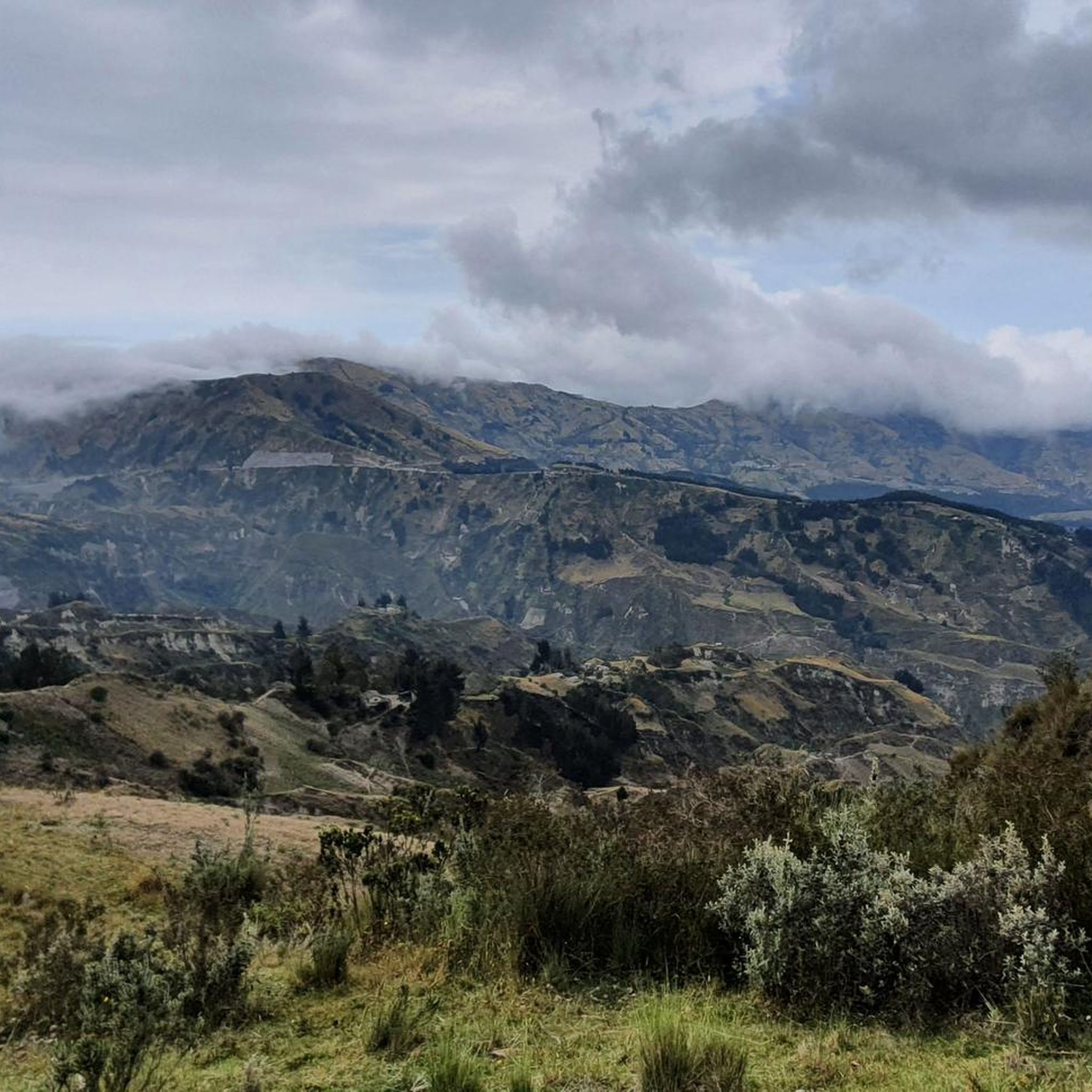
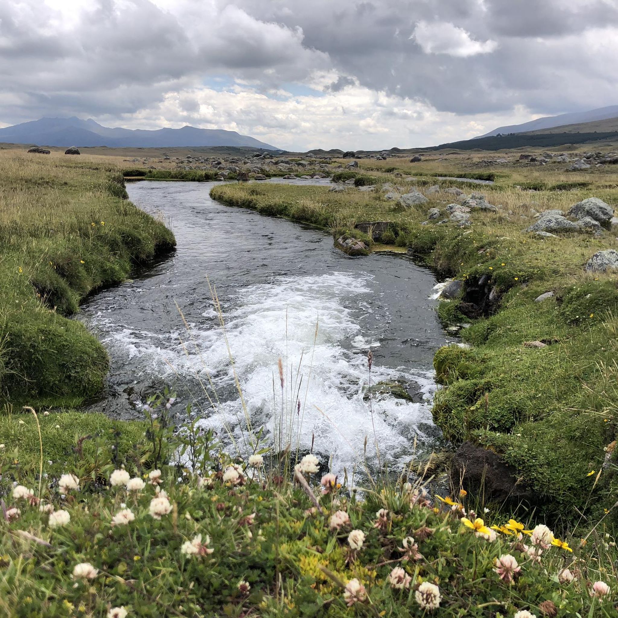
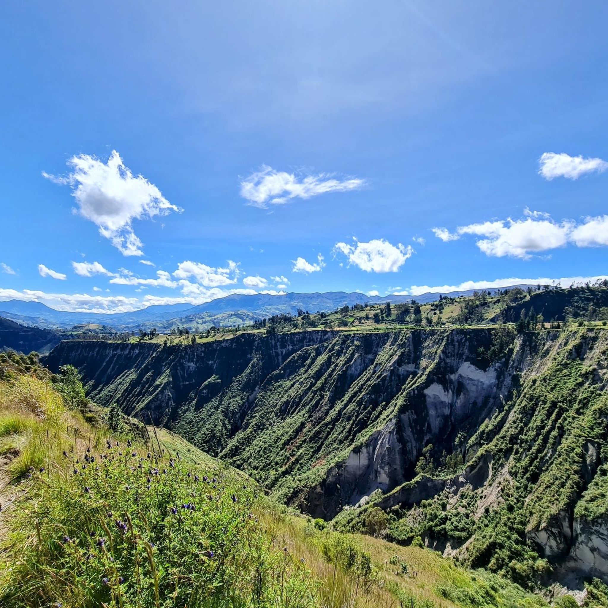
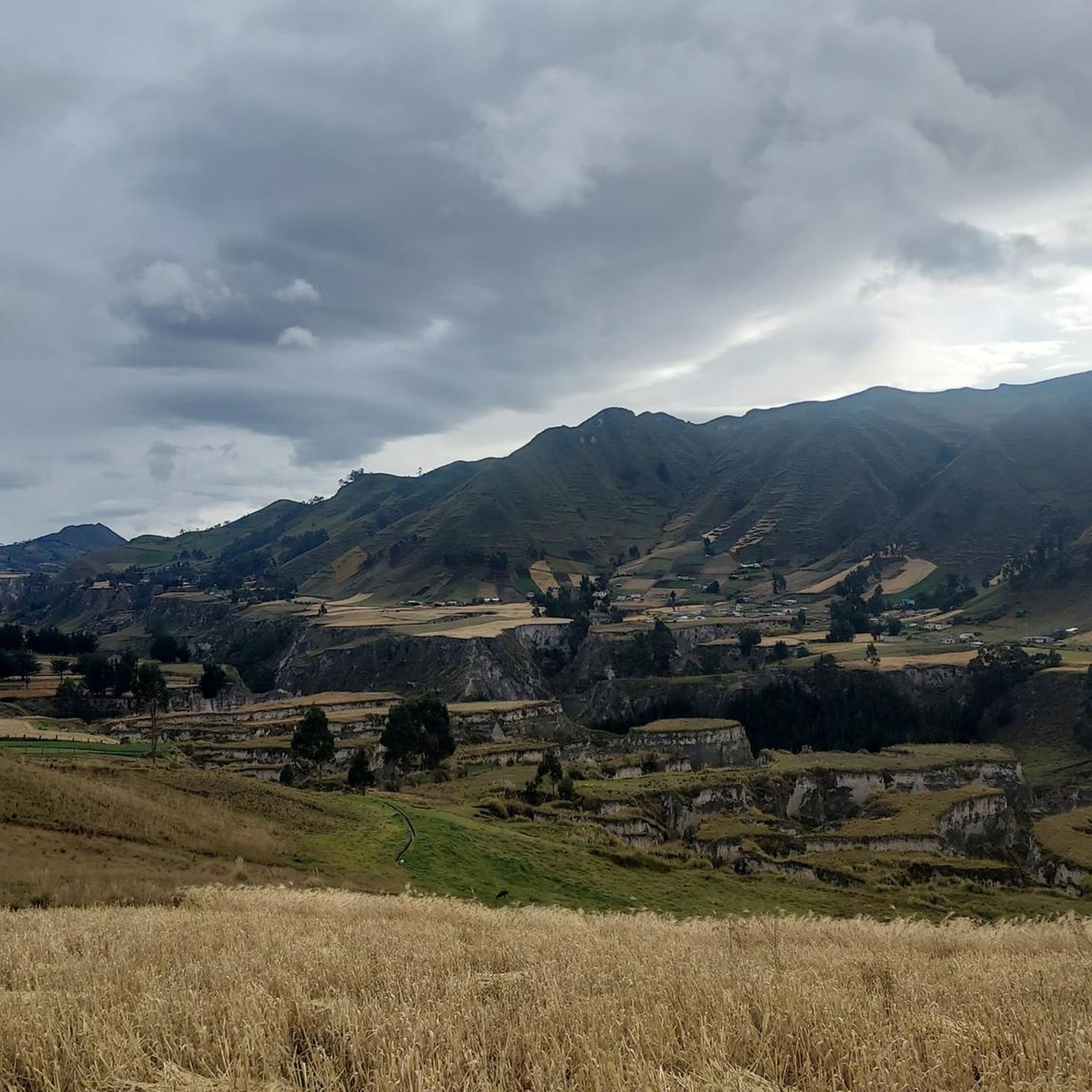
Hiking in Cotopaxi offers exploration of high-altitude Andean landscapes dominated by the active Cotopaxi Volcano and neighboring dormant peaks like Rumiñahui. The region features extensive páramo grasslands, characterized by unique vegetation, and includes the picturesque Limpiopungo Lagoon. Volcanic ash fields and jagged mountains contribute to the dramatic terrain.
Best hiking trails in Cotopaxi
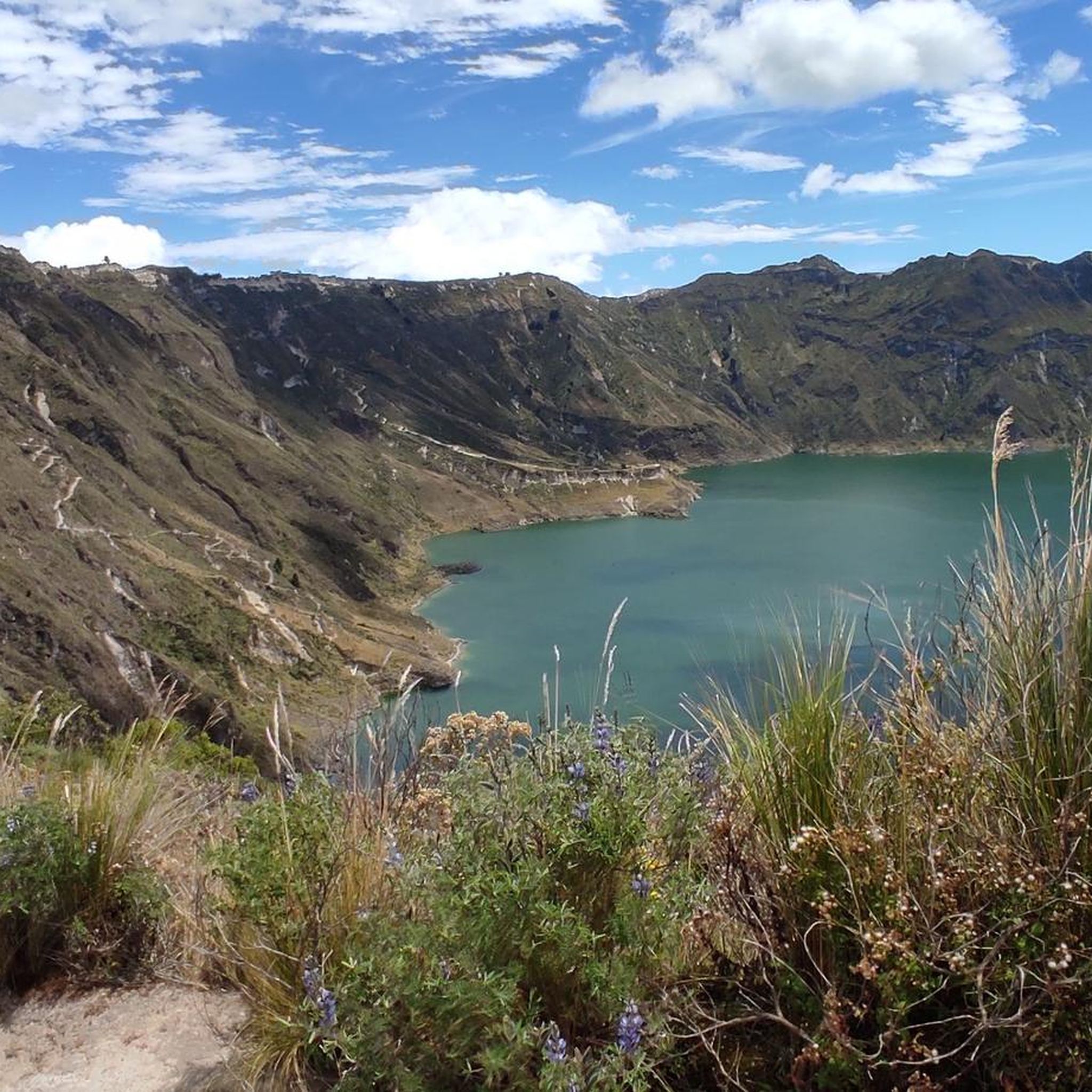
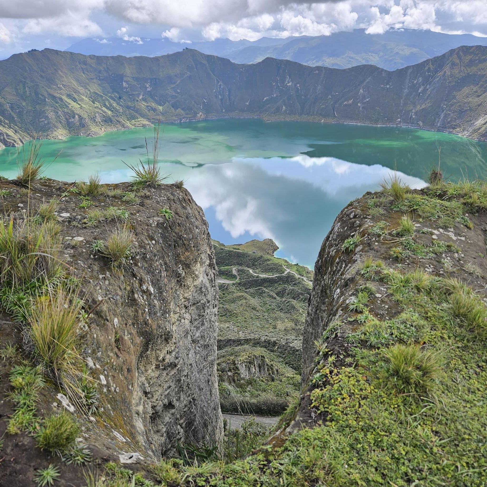
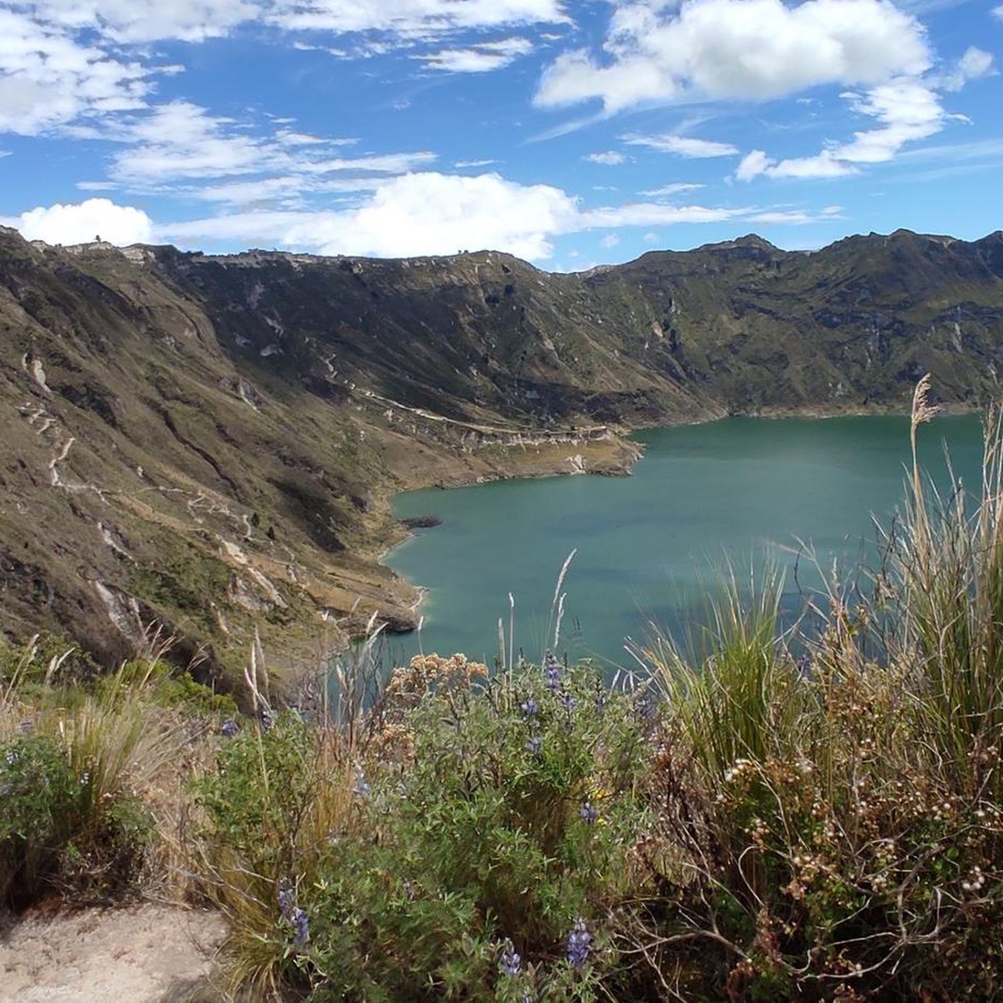
- The most popular hiking route is Quilotoa Lagoon Viewpoint – Quilotoa Lagoon loop from Quilotoa, a 7.0 miles (11.3 km) trail that takes 4 hours 11 minutes to complete. This route offers panoramic views of the stunning volcanic crater lake.
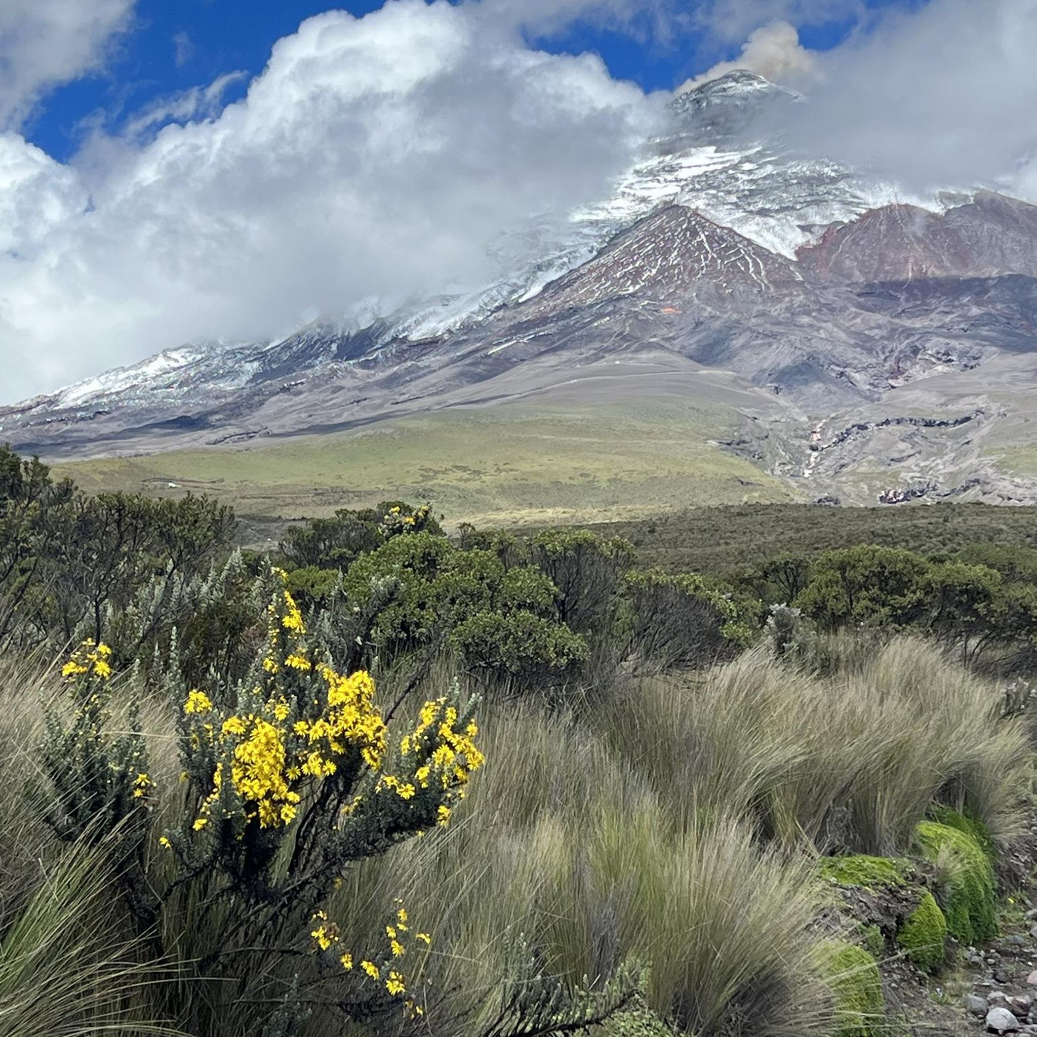
- Another top favourite among local hikers is José Rivas Refuge loop from Parque Nacional Cotopaxi, a moderate 3.1 miles (5.0 km) path. This trail leads towards the base of Cotopaxi Volcano, offering views of its snow-capped cone.
- Local hikers also love the Limpiopungo Lagoon – View of Limpiopungo Lake loop from Möglicher Übernachtungsplatz, a 2.1 miles (3.4 km) trail leading through high-altitude páramo, often completed in about 1 hour 7 minutes.
- Hiking in Cotopaxi is defined by towering volcanic peaks, high-altitude páramo grasslands, and reflective lagoons. The network offers options for different ability levels, from gentle loops to challenging ascents.
- The routes in Cotopaxi are highly rated by the komoot community with an average score of 4.8 stars from over 300 reviews. More than 2,800 hikers have used komoot to explore Cotopaxi's varied terrain.
Last updated: July 11, 2026
4.8
(107)
590
hikers
11.3km
04:11
410m
410m
Moderate hike. Good fitness required. Mostly accessible paths. Sure-footedness required.
4.8
(108)
580
hikers
9.91km
03:51
400m
400m
Moderate hike. Good fitness required. Mostly accessible paths. Sure-footedness required.

Sign up for free
4.7
(30)
359
hikers
Moderate hike. Great for any fitness level. Mostly accessible paths. Sure-footedness required.
4.8
(20)
293
hikers
3.79km
01:43
350m
350m
Moderate hike. Good fitness required. Mostly accessible paths. Sure-footedness required.
4.9
(21)
261
hikers
Moderate hike. Good fitness required. Mostly accessible paths. Sure-footedness required.
5.0
(11)
127
hikers
5.21km
02:01
370m
370m
Moderate hike. Good fitness required. Mostly accessible paths. Sure-footedness required.
4.8
(16)
122
hikers
Hard hike. Very good fitness required. Easily-accessible paths. Suitable for all skill levels.
5.0
(6)
83
hikers
6.94km
04:50
1,210m
1,210m
Hard hike. Very good fitness required. Mostly accessible paths. Sure-footedness required.
5.0
(2)
52
hikers
Moderate hike. Great for any fitness level. Mostly accessible paths. Sure-footedness required.
4.8
(9)
39
hikers
Hard hike. Very good fitness required. Mostly accessible paths. Sure-footedness required.
Get access to more routes and recommendations from other explorers.
Sign up for free
Already have an account?
Our route recommendations are based on thousands of hikes, rides, and runs completed by other people on komoot.
Start today with a free account
Your next adventure awaits.
Login or Signup


Tips from the Community


A wooden bridge, visible from afar, allows for a beautiful circular walk through partly very swampy areas.
0
0

Place with benches for a rest. maybe the sell sometimes Coffee and te.
0
0

It's an excellent viewpoint, both for Limpiopungo Lagoon and for Rumiñahui and Cotopaxi Volcano. Because of the cold, you'll need to wear a coat.
0
0

A beautiful circular path leads around the lagoon and great animal sightings are possible.
0
0

Easy, flat tour that circles the lagoon in the rather barren but beautiful landscape of Ecuador.
1
0

Nice circular hike around the lake
0
0

The spectacular Quilotoa lagoon is, of course, of volcanic origin. The diameter of this brightly colored natural basin is three kilometers. A series of paths start from the panoramic point that allow you to better explore this magical place: one path goes around the crater, another goes dizzyingly downhill and allows you to reach the shore of the lake.
1
0
Frequently Asked Questions
How many hiking trails are available in Cotopaxi National Park?
Cotopaxi National Park offers a diverse network of over 20 hiking trails. These routes cater to various skill levels, from gentle loops around high-altitude lagoons to challenging ascents towards volcanic refuges.
What kind of terrain can I expect when hiking in Cotopaxi?
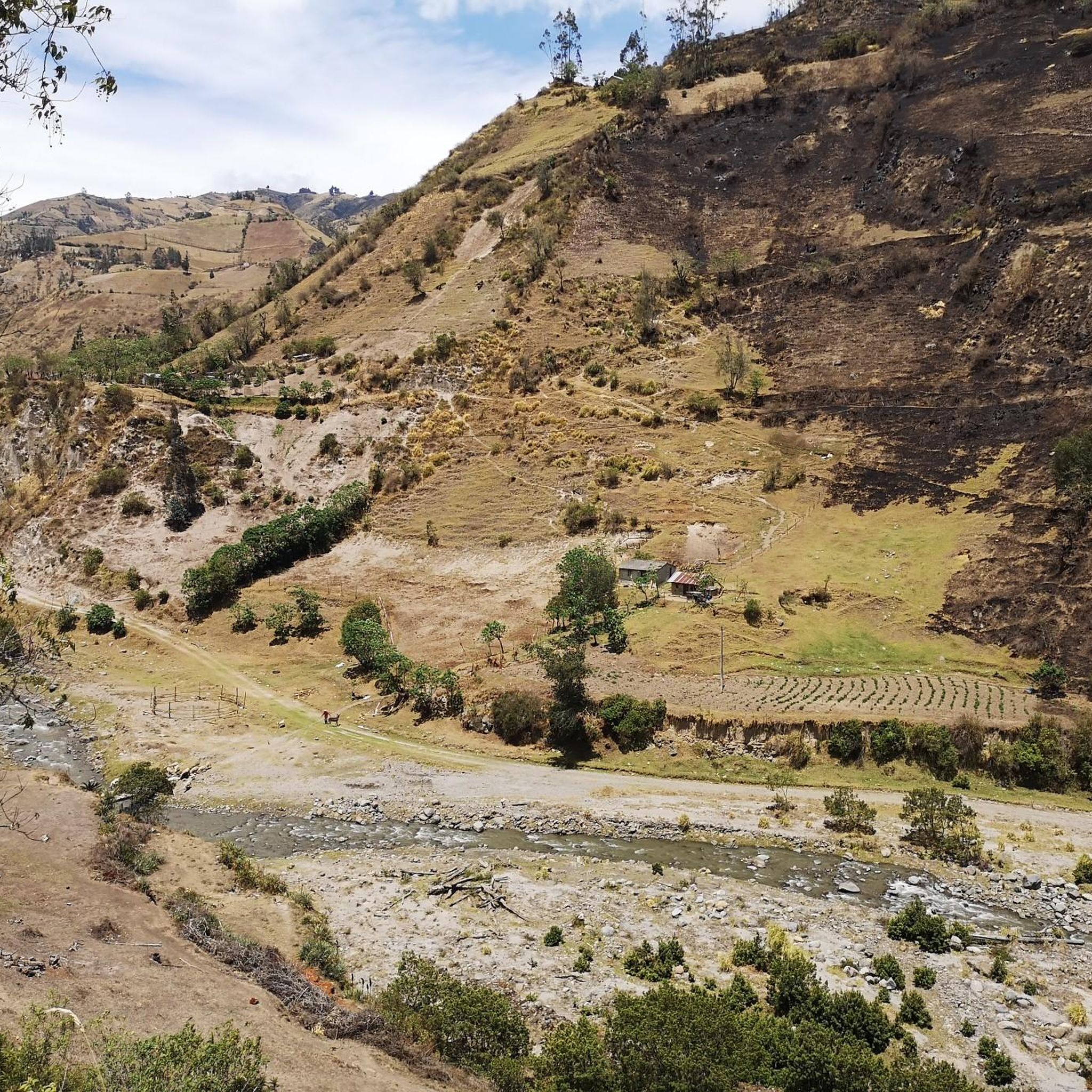
Hikers in Cotopaxi will encounter varied high-altitude Andean landscapes. The terrain primarily consists of extensive páramo grasslands, characterized by unique vegetation like ichu grass. You'll also find volcanic ash fields, jagged mountains, and reflective lagoons, all set against the dramatic backdrop of the Cotopaxi Volcano and neighboring dormant peaks.
Are there any family-friendly hiking options in Cotopaxi National Park?
Yes, for a less strenuous walk with stunning views, consider the Limpiopungo Lagoon – View of Limpiopungo Lake loop. This 2.1-mile (3.4 km) trail leads through high-altitude páramo and is generally completed in about an hour, making it suitable for families.
What are some notable natural features or landmarks to see while hiking?
The park is rich in natural wonders. You can hike to the José Rivas Refuge on the flank of Cotopaxi Volcano, offering close-up views of its snow-capped cone. The picturesque Limpiopungo Lagoon is another highlight, known for its reflective views of Cotopaxi and diverse birdlife. Additionally, the stunning Quilotoa Lagoon, a volcanic crater lake, is a must-see attraction in the broader Cotopaxi region.
Can I spot wildlife during my hike in Cotopaxi?
Absolutely. Cotopaxi National Park is an excellent place for wildlife observation. Around Limpiopungo Lagoon, you have good chances to spot migratory birds, including the iconic Andean condor and various Andean ducks. The park is also home to wild horses, deer, and Andean foxes. You might even encounter wild horses roaming the páramo.
Are there any circular hiking routes in Cotopaxi?
Yes, many trails in Cotopaxi are designed as loops. For instance, the popular Quilotoa Lagoon Viewpoint – Quilotoa Lagoon loop offers panoramic views of the volcanic crater lake. Another option is the José Rivas Refuge loop, which takes you towards the base of Cotopaxi Volcano.
What do other hikers enjoy most about hiking in Cotopaxi?
The area is highly rated by the komoot community, with an average score of 4.8 stars from over 300 reviews. Reviewers often praise the breathtaking panoramic views of the volcanoes, the unique high-altitude páramo landscapes, and the opportunity to experience the dramatic natural beauty of the Ecuadorian Andes.
What is the best time of year to hike in Cotopaxi National Park?
While Cotopaxi can be visited year-round, the dry season, typically from June to September, offers the clearest skies and best visibility of the volcanoes. However, weather in the high Andes can be unpredictable, so always be prepared for sudden changes regardless of the season.
Are there any waterfalls in the Cotopaxi region?
Yes, while not directly within the immediate vicinity of the main Cotopaxi Volcano trails, the broader Cotopaxi region features natural attractions like The Seven Waterfalls of Zapanal, offering a different natural experience for those willing to explore further.
Do I need a permit or pay an entrance fee to hike in Cotopaxi National Park?
Yes, Cotopaxi National Park typically requires an entrance fee for visitors. While specific permits might be needed for summit attempts on Cotopaxi Volcano itself, general hiking on marked trails usually only requires the park entrance fee. It's advisable to check the latest regulations before your visit.
Are there any challenging hikes for experienced trekkers?
For experienced hikers seeking a challenge, the ascent to the José Rivas Refuge is a popular option. Beyond the refuge, adventurous hikers can continue towards the base of the Cotopaxi Glacier. Another difficult route is the View of the Andean Highlands – View of Isinlivi and the River loop, a 21.5 km path with significant elevation gain.
Can I bring my dog on the hiking trails in Cotopaxi National Park?
National parks often have restrictions regarding pets to protect wildlife and natural habitats. It's best to verify the current pet policy directly with Cotopaxi National Park authorities before planning your visit with a dog, as regulations can change.
Most popular attractions in Cotopaxi

Get inspired with the komoot mobile app


Didn’t find what you were looking for?
Check out more Hikes throughout Cotopaxi below and find the perfect route in your destination.
Explore more
Browse the best Hikes in other regions.
