The best cycling routes in San Carlos
16
riders
4
rides
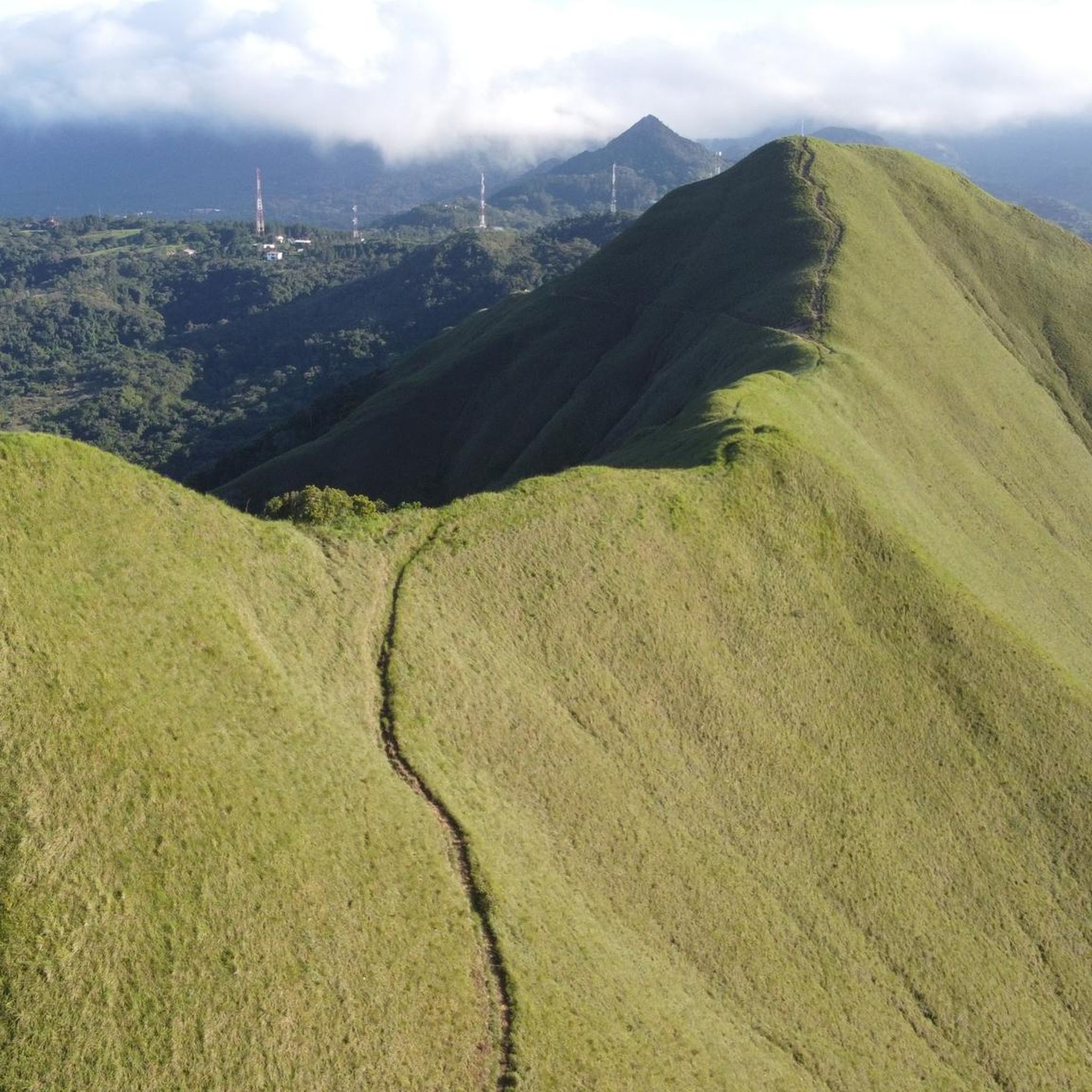
Touring cycling in San Carlos offers a diverse landscape for exploration. The region features coastal routes along the Pacific, as evidenced by trails near Playa Coronado, alongside inland paths that traverse valleys and ascend into more elevated terrain. Cyclists can expect a mix of flat sections and challenging climbs, with routes like Cerro Peña indicating significant elevation changes. The area provides varied surfaces suitable for touring bicycles, from paved roads to more rugged paths.
Best touring cycling routes in San…
Last updated: July 1, 2026
6
riders
22.7km
01:35
130m
130m
Easy bike ride. Great for any fitness level. Mostly paved surfaces. Suitable for all skill levels.
2
riders
8.76km
00:32
60m
60m
Easy bike ride. Great for any fitness level. Mostly paved surfaces. Suitable for all skill levels.

Sign up for free
4
riders
63.5km
04:30
1,180m
1,180m
Hard bike ride. Very good fitness required. You may need to push your bike for some segments of this route.
Our route recommendations are based on thousands of hikes, rides, and runs completed by other people on komoot.
Start today with a free account
Your next adventure awaits.
Login or Signup
Popular around San Carlos
Tips from the Community


And what do you think the drawings on the stone are?
0
0

Unfortunately no time ⏰ had to swim 🛁
1
1
Incredibly beautiful hike 🥾 where you keep crossing the river 💦 🌁 and passing waterfalls
2
0

It is always worthwhile to have bathing suits with you on a hike. But this spot is also just perfect for putting your feet in the water for a bit.
2
0
You get to the stone formation via this small bridge in a mega beautiful jungle environment.
2
0
Frequently Asked Questions
How many touring cycling routes are available in San Carlos?
San Carlos offers a variety of touring cycling routes. Our guide features 4 distinct routes, ranging from easy coastal loops to more challenging inland ascents. The broader region, encompassing areas like San Carlos, California, and San Carlos, Sonora, Mexico, provides a much larger network of trails for cyclists to explore.
What types of terrain can I expect on touring cycling routes in San Carlos?
Touring cyclists in San Carlos can experience a diverse range of terrain. You'll find coastal routes with relatively flat sections, such as the Playa Coronado (oeste) – Playa Serena loop from Coronado, offering scenic views. Inland, routes can traverse valleys and ascend into more elevated, rugged terrain, as seen on the Cerro Peña – Savings Bank loop from Fonda San Miguel, which features significant elevation gain. Surfaces vary from paved roads to more rugged paths, especially in desert areas.
Are there any easy touring cycling routes suitable for beginners or families?
Yes, San Carlos has several easy touring cycling routes perfect for beginners or a relaxed family outing. The El Valle loop from El Valle is an easy 5.4-mile (8.7 km) trail offering a gentle ride. Another great option is the Playa Coronado (oeste) – Playa Serena loop from Coronado, an easy 14.1-mile (22.7 km) path with coastal views and minimal elevation change.
What are some scenic viewpoints or natural attractions along the cycling routes?
San Carlos offers numerous scenic viewpoints and natural attractions. Coastal routes often provide fantastic views of the Pacific or the Sea of Cortez. In California, routes can lead to historic landmarks like the Pulgas Water Temple or through preserves like Pulgas Ridge Open Space. In Sonora, Mexico, you might encounter stunning desert landscapes meeting the sea, with routes offering views over estuaries and towards iconic formations like Mount Tetakawi. The Playa Coronado (oeste) – Playa Serena loop from Coronado offers beautiful coastal vistas.
Are there any challenging routes for experienced touring cyclists?
Absolutely. For experienced touring cyclists seeking a challenge, the Cerro Peña – Savings Bank loop from Fonda San Miguel is a difficult 39.4-mile (63.5 km) trail with significant elevation gain, often taking over 4 hours to complete. This route leads through varied terrain and is ideal for those looking for a demanding ride.
Can I find circular touring cycling routes in San Carlos?
Yes, many of the touring cycling routes in San Carlos are designed as loops, allowing you to start and end at the same point. Examples include the easy El Valle loop from El Valle and the coastal Playa Coronado (oeste) – Playa Serena loop from Coronado. The challenging Cerro Peña – Savings Bank loop from Fonda San Miguel is also a circular route.
What is the best time of year for touring cycling in San Carlos?
The best time for touring cycling in San Carlos depends on the specific location. Generally, spring and fall offer pleasant temperatures for cycling in both the California and Sonora regions, avoiding the summer heat. Coastal areas might be enjoyable year-round, but it's always wise to check local weather conditions before heading out, especially for desert routes which can get very hot.
Are there any specific rules or permits required for cycling in San Carlos parks or preserves?
Rules and permit requirements can vary depending on the specific park or preserve you plan to cycle through. In San Carlos, California, some open space preserves or city parks may have specific regulations regarding bicycle access or require permits for certain trails. For areas like Pulgas Ridge Open Space Preserve or other regional parks, it's advisable to check their official websites for the most current information on cycling rules and any necessary permits.
Where can I find parking or public transport access near touring cycling routes?
Parking availability varies by route and location. Many trailheads or starting points for popular routes, especially in more developed areas like San Carlos, California, will have designated parking facilities. For public transport, options might be more limited for direct access to remote trailheads. In urban-adjacent areas, local bus services or regional transit might offer connections, but it's best to research specific route access points and local transport schedules beforehand.
What kind of wildlife might I encounter while cycling in San Carlos?
San Carlos's diverse environments mean you could encounter various wildlife. In California, areas like Eaton Park or Pulgas Ridge Open Space Preserve are home to diverse flora and fauna. In the desert landscapes of Sonora, Mexico, you might spot unique desert creatures. Always maintain a respectful distance and be aware of your surroundings to ensure a safe and enjoyable experience for both you and the wildlife.
Are there any cafes or places to stop for refreshments along the touring cycling routes?
While specific cafes directly on every route might be limited, many touring cycling routes in San Carlos pass through or near towns and communities where you can find places for refreshments. For example, routes originating from 'El Valle' or 'Coronado' are likely to have amenities nearby. It's always a good idea to plan your stops in advance, especially on longer or more remote routes, and carry sufficient water and snacks.
What makes touring cycling in San Carlos unique?
Touring cycling in San Carlos is unique due to its incredible diversity. You can experience the lush, varied terrain and Bay Area views of California, or the rugged desert landscapes meeting the stunning Sea of Cortez in Sonora, Mexico. This allows for a wide range of experiences, from leisurely coastal rides to challenging mountain ascents, all within the 'San Carlos' region.

Get inspired with the komoot mobile app


Didn’t find what you were looking for?
Check out more Cycling routes throughout San Carlos below and find the perfect route in your destination.
Explore more
Browse the best Cycling routes in other regions.
