The best walks and hikes in San Carlos
4.6
(655)
2,841
hikers
35
hikes
Hiking trails in San Carlos, Panamá Oeste, are characterized by a diverse landscape featuring volcanic hills, lush valleys, and scenic viewpoints. The region offers routes that traverse forested areas and open terrain, often leading to elevated perspectives of the surrounding natural environment. Hikers can explore trails that include features like the Cerro La Cruz and Cerro Picacho hills, as well as the Laguna de San Carlos.
Best hiking trails in San Carlos
- The most popular hiking route is Cerro La…
Last updated: July 2, 2026
4.6
(14)
59
hikers
7.42km
02:22
300m
300m
Moderate hike. Good fitness required. Easily-accessible paths. Suitable for all skill levels.
4.5
(13)
74
hikers
11.0km
03:42
420m
430m
Hard hike. Good fitness required. Sure-footedness, sturdy shoes and alpine experience required.

Sign up for free
4.8
(5)
41
hikers
6.23km
02:22
330m
330m
Hard hike. Good fitness required. Sure-footedness, sturdy shoes and alpine experience required.
4.1
(7)
38
hikers
12.2km
03:48
440m
440m
Moderate hike. Good fitness required. Easily-accessible paths. Suitable for all skill levels.
5.0
(3)
31
hikers
12.8km
03:48
340m
340m
Moderate hike. Good fitness required. Easily-accessible paths. Suitable for all skill levels.
5.0
(2)
13
hikers
Easy hike. Great for any fitness level. Easily-accessible paths. Suitable for all skill levels.
5.0
(1)
8
hikers
13.5km
03:35
140m
150m
Moderate hike. Good fitness required. Easily-accessible paths. Suitable for all skill levels.
5.0
(1)
10
hikers
1.95km
00:53
190m
190m
Easy hike. Great for any fitness level. Easily-accessible paths. Suitable for all skill levels.
9.26km
02:24
50m
60m
Moderate hike. Good fitness required. Easily-accessible paths. Suitable for all skill levels.
Get access to more routes and recommendations from other explorers.
Sign up for free
Already have an account?
Our route recommendations are based on thousands of hikes, rides, and runs completed by other people on komoot.
Start today with a free account
Your next adventure awaits.
Login or Signup
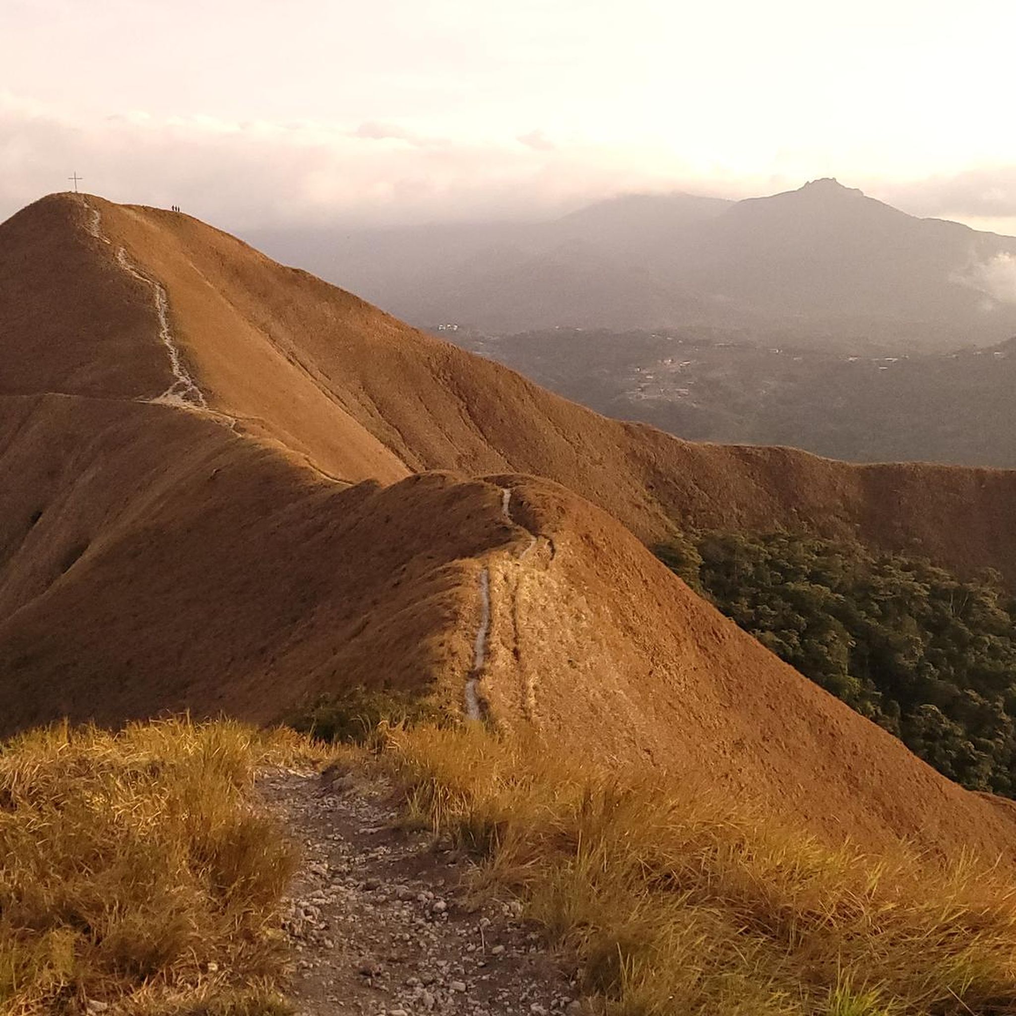
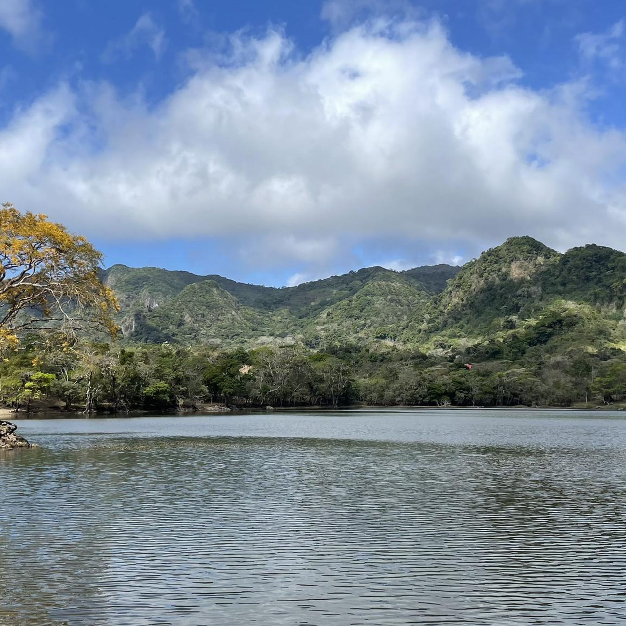


Tips from the Community

View of the mystical La India dormida. The trail there is highly recommended.
0
0
Hut with trail information. A good place for shelter in bad weather.
0
0
Click here for the Cerro Cara Iguana Trail
0
0

He wears long trousers so as not to cut his legs with the suitcase.
0
0

easy walk with a nice view on either side of the ridge
1
0

It's best to ask in advance whether it is open. Unfortunately it was closed today (Monday).
1
0

Here starts a trail up to a viewpoint, it takes approximately 15 minutes.
1
0
Frequently Asked Questions
What types of hiking trails can I expect in San Carlos?
San Carlos, located in Panamá Oeste, offers a diverse landscape for hiking. You'll find trails traversing volcanic hills, lush valleys, and forested areas, often leading to scenic viewpoints. The region is characterized by its natural beauty, including features like Cerro La Cruz, Cerro Picacho, and Laguna de San Carlos.
Are there easy hiking options suitable for families in San Carlos?
Yes, San Carlos has several easy trails perfect for families. For a shorter, less strenuous option, consider the Big Boulder Viewpoint loop from Laguna de San Carlos, which is just under 2 km. This route offers a pleasant walk around the lake area.
Where can I find challenging hikes in San Carlos?
For those seeking a challenge, San Carlos offers several difficult routes. The Cerro Gaital Loop Trail – El Gaital Trail loop from El Valle is a demanding 11 km path through the Cerro Gaital area. Another strenuous option is the Cerro Picacho Viewpoint – View of El Valle de Antón loop from El Valle, which covers nearly 20 km with significant elevation gain.
Are there any hiking trails with waterfalls in San Carlos?
Yes, you can find trails that lead to waterfalls. The El Pastoreo Trailhead – Chorro Macho Waterfall loop from El Valle is a moderate 13.5 km route that includes the Chorro Macho Waterfall, offering a refreshing natural highlight.
What do other hikers say about the trails in San Carlos?
The hiking routes in San Carlos are highly regarded by the komoot community, holding an average score of 4.6 stars from over 500 reviews. Hikers often praise the varied terrain, scenic viewpoints, and the opportunity to explore the region's volcanic landscapes.
Are there any circular hiking routes available in San Carlos?
Many of the trails in San Carlos are designed as loops, allowing you to start and end at the same point. Examples include the moderate Cerro La Cruz – Cerro Picacho Viewpoint loop from Río Las Guías and the more challenging Cerro Gaital Loop Trail – El Gaital Trail loop from Monumento Natural Cerro Gaital.
How long do hikes in San Carlos typically take?
Hike durations in San Carlos vary significantly depending on the trail's length and difficulty. Shorter, easy routes like the Big Boulder Viewpoint loop from Laguna de San Carlos can be completed in about 1 hour 4 minutes. Longer, difficult trails, such as the Cerro Picacho Viewpoint – View of El Valle de Antón loop from El Valle, can take over 6 hours.
What are some notable viewpoints or landmarks to see while hiking in San Carlos?
Many trails in San Carlos lead to impressive viewpoints. The View of La India Dormida – Gravel Road loop from El Valle offers perspectives of the iconic 'Sleeping Indian' mountain range. Other routes provide views of Cerro Picacho and the surrounding volcanic landscape, such as the Cerro La Cruz – Cerro Picacho Viewpoint loop from El Valle.
How many hiking trails are there in the San Carlos region?
There are over 35 hiking trails available in the San Carlos region, catering to a range of abilities. This includes 13 easy routes, 14 moderate routes, and 8 difficult routes, ensuring options for every type of hiker.
What is the best time of year to go hiking in San Carlos?
San Carlos experiences a tropical climate. The dry season, typically from December to April, offers more predictable weather with less rain and cooler temperatures, making it ideal for hiking. During the wet season (May to November), trails can be muddy, and there's a higher chance of rain, though the landscape is particularly lush.
Are there any specific considerations for winter hiking in San Carlos?
San Carlos does not experience a traditional winter with snow. The 'winter' months in this tropical region (roughly May to November) correspond to the wet season. During this time, trails can be muddy and slippery, and you should be prepared for rain. Waterproof gear and appropriate footwear are recommended.
What should I wear for hiking in San Carlos?
Given the tropical climate and varied terrain, it's best to wear lightweight, breathable clothing. Sturdy hiking shoes or boots with good grip are essential, especially for trails that can be rocky or muddy. Sun protection (hat, sunscreen) and insect repellent are also highly recommended.

Get inspired with the komoot mobile app


Didn’t find what you were looking for?
Check out more Hikes throughout San Carlos below and find the perfect route in your destination.
