The best waterfall hikes and walks around La Sierra
4.5
(549)
2,422
hikers
12
hikes
Waterfall hiking trails around La Sierra offer a diverse landscape for exploration, characterized by its river systems and varied topography. The region features a mix of woodlands, open areas, and water features, providing a natural setting for outdoor activities. Hikers can expect trails that follow watercourses, leading to various cascades and streams. The terrain includes gentle inclines and more challenging sections, catering to different experience levels.
Best waterfall hiking trails around La Sierra
- The most popular waterfall hiking route is…
Last updated: July 3, 2026
4.7
(59)
213
hikers
13.7km
03:44
200m
200m
Moderate hike. Good fitness required. Easily-accessible paths. Suitable for all skill levels.
4.6
(36)
144
hikers
8.12km
02:16
150m
150m
Moderate hike. Good fitness required. Easily-accessible paths. Suitable for all skill levels.

Sign up for free
4.7
(12)
53
hikers
4.99km
01:24
100m
100m
Easy hike. Great for any fitness level. Easily-accessible paths. Suitable for all skill levels.
4.5
(8)
29
hikers
9.65km
02:41
180m
170m
Moderate hike. Good fitness required. Easily-accessible paths. Suitable for all skill levels.
4.6
(5)
25
hikers
8.56km
02:20
130m
130m
Moderate hike. Good fitness required. Easily-accessible paths. Suitable for all skill levels.
Get access to more routes and recommendations from other explorers.
Sign up for free
Already have an account?
Our route recommendations are based on thousands of hikes, rides, and runs completed by other people on komoot.
Start today with a free account
Your next adventure awaits.
Login or Signup
Popular around La Sierra

Waterfall hikes in Guadiato-Bembezar
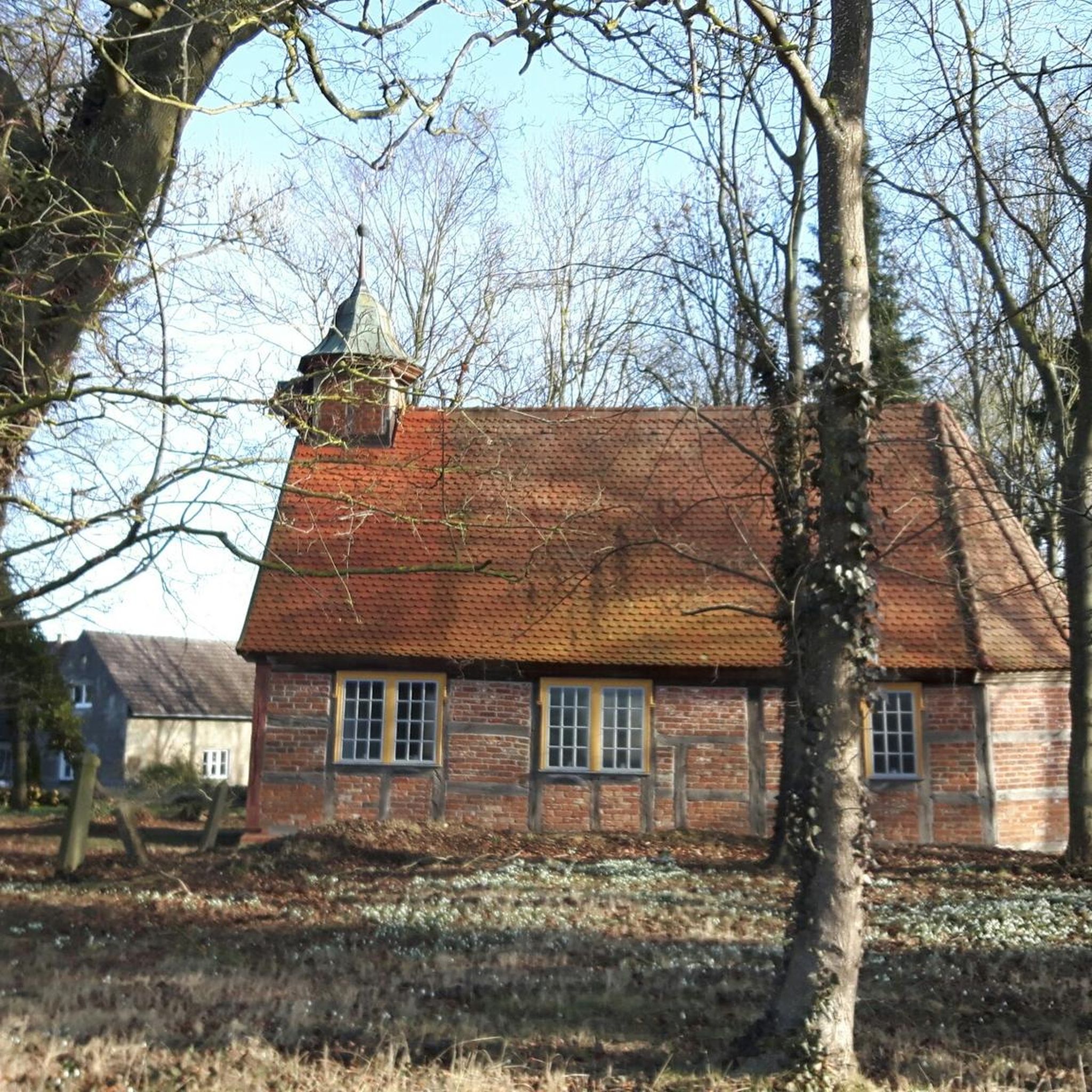
Waterfall hikes around National Park Sierra de Hornachuelos
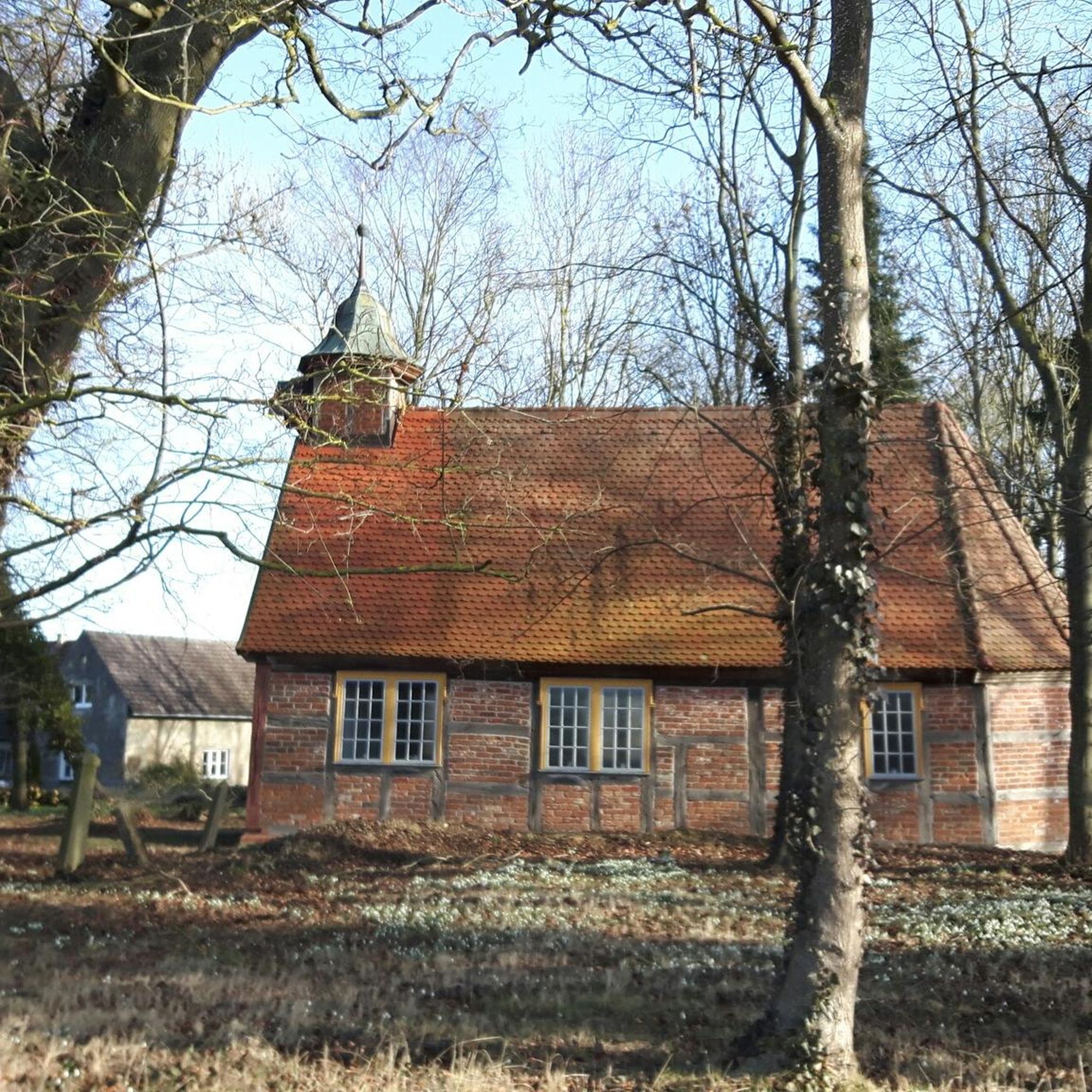
Waterfall hikes in Sierra De Hornachuelos
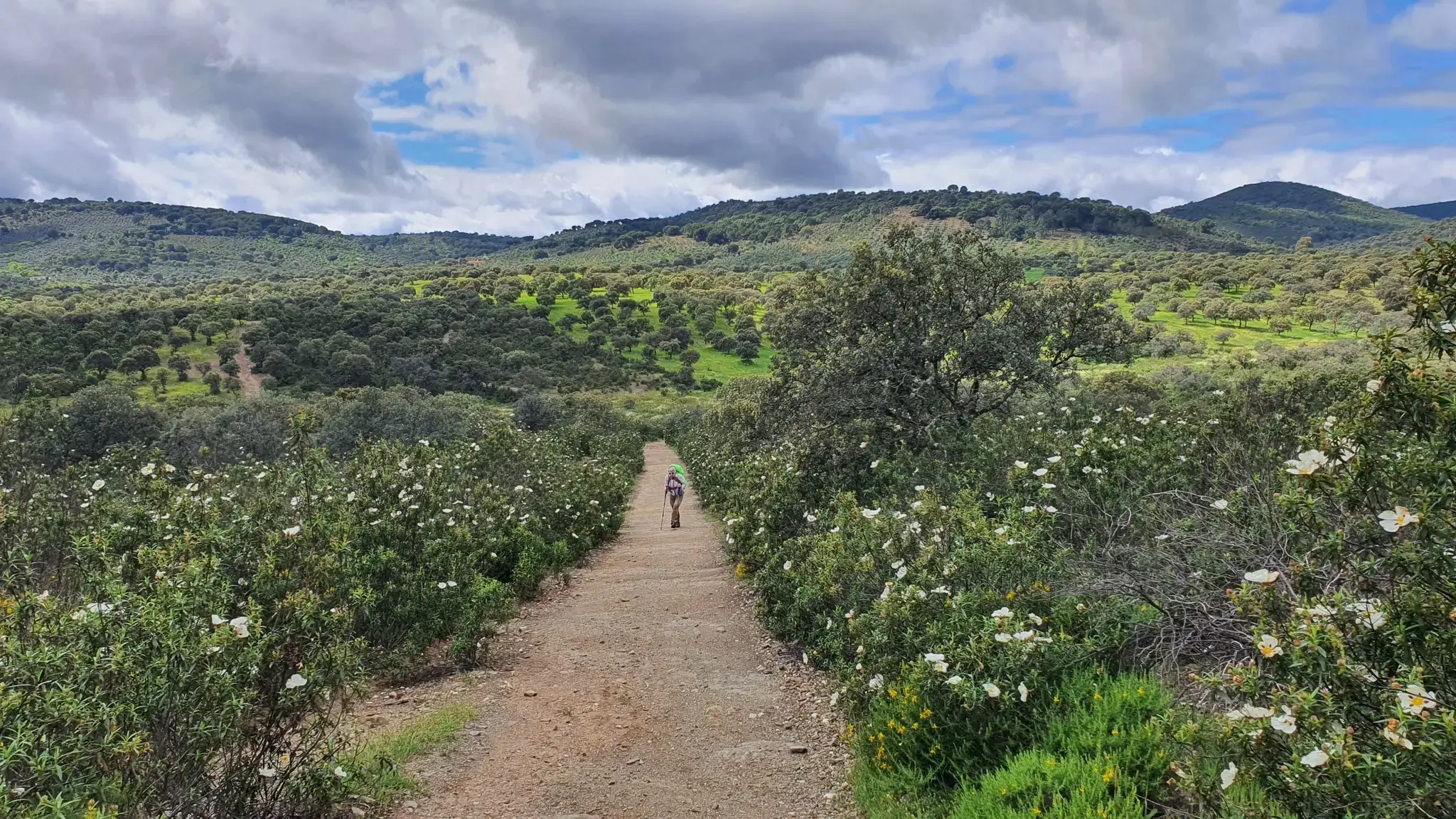
Pastures, Pedroches and farmhouses — Cañada Real Soriana (GR 40)
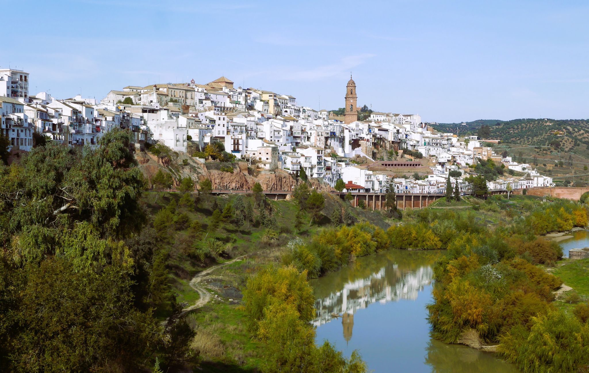
Hike the glorious countryside of Cordoba and Jaen – Sierra Morena (GR 48)
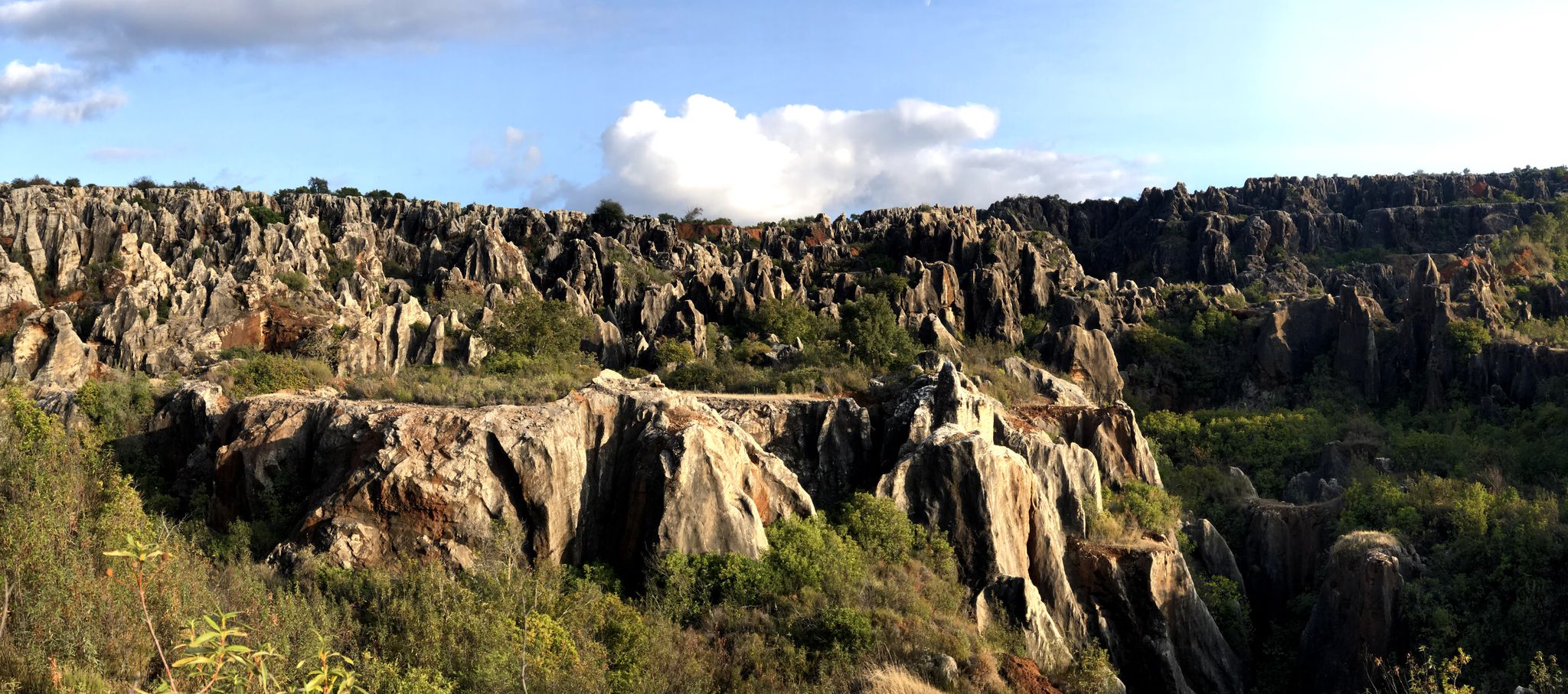
Cycling among the mysterious faults – Sierra Morena (GR 48)

Let’s head south – cycle in Andalusia with me and my dog
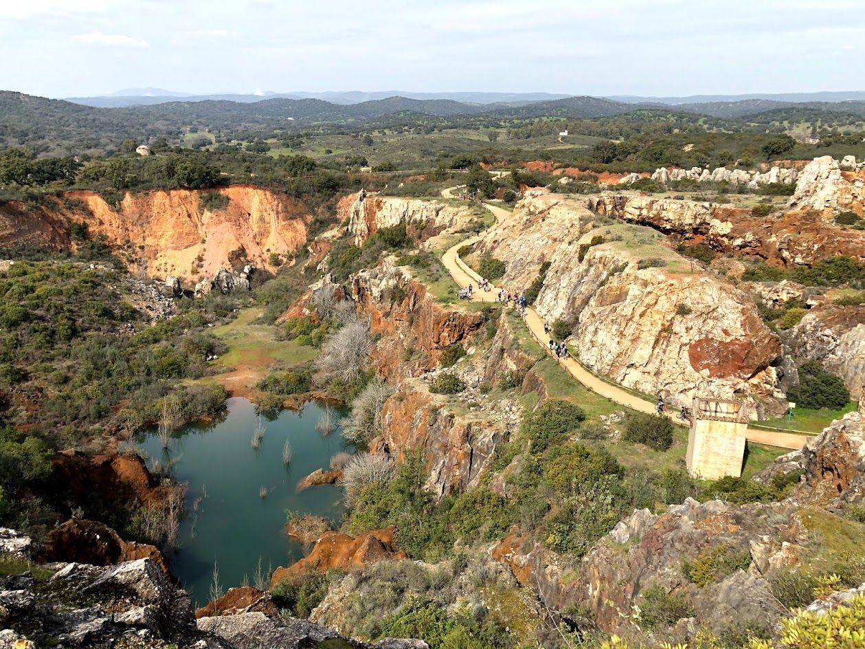
Journey through Spain’s Sierra Morena — Cordoba to Seville by bike
Other adventures around La Sierra


Tips from the Community

Located in the district of Santa Maria de Trassierra, next to the Arroyo del Molino, a tributary of the river Guadiato. It is a mill of Arab origin, probably from the 10th or 11th centuries, whose purpose was to grind flour. These medieval mills made it possible to produce flour in large quantities for 10th-century Caliphal Córdoba. (Source: https://www.conocetusfuentes.com/datos_elemento_884.html)
1
0
Located on the Caño Escaravita estate, just beyond the outlying neighborhood of Santa María de Trassierra. We found it in the western Sierra peri-urban district, next to the crossroads leading to the Ermitas and the Mirador de las Niñas, about fifteen kilometers from Córdoba. This is a zoomorphic water fountain on a pedestal from the Caliphate period, dating back to the 10th century. The sculpture represents a small elephant. Made of gray limestone from the Sierra Morena, it served as a support for the spout. The fountain is made up of three components: a water collection basin, a masonry pillar attached to it on its north side (which leads to a masonry irrigation ditch), and a rectangular pool located to the west of the canal. https://amedinacordoba.com/fuente-del-elefante/
1
0
The Baths of Poppaea are a natural stretch of small waterfalls alternating with small pools that follow the course of the Molino stream, near the mouth of the Guadiato River. This area was visited by Christopher Columbus. Its name comes from the place where the Cordoba poets of the Cántico Group used to visit, as during the Franco regime it was a safe place, away from the scrutiny of this intellectual group, as well as the homosexuality of some of them. One day, three members of the group, Pablo García Baena, Juan Bernier, and Ricardo Molina, were walking when they saw some girls bathing in the stream. The latter exclaimed, "Look, like Poppaea in the bath," referring to the Roman Empress Poppaea Sabina, a prominent figure at the time due to the film The Sign of the Cross (1932), in which actress Claudette Colbert appeared bathing in donkey's milk, just as the Empress did. The girls told the residents of Trassierra about this incident, and from then on, the story spread and became known as the Baths of Poppea. https://es.wikipedia.org/wiki/Ba%C3%B1os_de_Popea
2
0
A waterfall known as the "first spring of the Bejarano," whose water flow has always been active. There are few remains of an ancient structure from which the water flows: the aquifer catchment. The Romans knew how to harness this important spring, unique in these mountains, due to the large amount of water it provides every season (estimated at 20,000 to 35,000 m3/day). (Source: https://www.conocetusfuentes.com/ficha_detalle.php?id_fuente=10057)
1
0

An incredible place, a structure and construction that transports you to the Roman era. It is worth taking the route and spending some time enjoying the site.
2
0

A closed gate prevents you from continuing along this route.
1
0

Oak trees grow here whose bark is made of cork. On one oak tree, bark was left on the tree so that you can see how it grows back.
0
0

Please note that this highlight is also listed in the description as a parking spot. However, we found that it is not allowed to drive up to the indicated parking spot/start of the route with a car. Just park near the jardin de popea and start the hike from there, it will add 2.5 km to the distance but is not too bad.
1
0
Frequently Asked Questions
How many waterfall hiking trails are available in La Sierra?
La Sierra offers a selection of 12 dedicated waterfall hiking trails. These routes vary in difficulty, providing options for different experience levels.
Are there easy waterfall hikes suitable for beginners or families in La Sierra?
Yes, La Sierra features several easy waterfall hikes perfect for beginners or families. A popular choice is the Baños de Popea Waterfalls loop from Plaza del Centro Cívico, which is 3.0 miles (4.9 km) long and typically takes about 1 hour 24 minutes to complete.
What is the typical duration for waterfall hikes in La Sierra?
The duration of waterfall hikes in La Sierra varies depending on the route's length and difficulty. Easy trails, like the Baños de Popea loop, can be completed in under 1.5 hours, while moderate routes such as the Arroyo Bejarano – Elephant Fountain loop from Torrehoria, might take around 3 hours 44 minutes.
Can I bring my dog on the waterfall trails in La Sierra?
Generally, dogs are welcome on many trails in La Sierra, but it's always advisable to check specific signage at trailheads for any local restrictions or leash requirements, especially in protected natural areas. Ensure your dog is well-behaved and that you clean up after them.
Are there any challenging waterfall hikes in La Sierra for experienced hikers?
While there are no trails officially classified as 'difficult' in La Sierra's waterfall hiking selection, there are 9 moderate routes that offer a good challenge. These include longer distances and some elevation gain, such as the Source of the Bejarano Stream – Roman Mine and Pools loop from Urbanización Chabolo.
When is the best time of year to visit La Sierra for waterfall hikes?
The best time to visit La Sierra for waterfall hikes is typically during the wetter seasons, such as late autumn, winter, and spring. During these periods, rainfall ensures the waterfalls are at their most impressive. Summers can be hot and drier, potentially reducing water flow.
Are there circular waterfall walks available in La Sierra?
Yes, many of the waterfall trails in La Sierra are designed as circular routes, allowing you to start and end at the same point. Examples include the Arroyo Bejarano – Elephant Fountain loop from Torrehoria and the Baños de Popea Waterfalls – Río Guadiato loop from El Cruce.
What can I see along the waterfall hiking trails in La Sierra besides waterfalls?
Beyond the cascades, the trails in La Sierra often lead through diverse landscapes including woodlands and open areas. You might encounter natural monuments like the Malos Pasos Spring or the unique rock formation of Piedra Horadada. Some routes also pass by historical sites, such as ancient Roman ruins near the Source of the Bejarano Stream.
Are there any reservoirs or lakes near the waterfall hiking areas?
Yes, the region around La Sierra features several reservoirs and lakes. Hikers might find themselves near the Guadanuño Reservoir or the Martín Gonzalo Reservoir, offering additional scenic views and points of interest.
What do other hikers enjoy most about the waterfall trails in La Sierra?
The waterfall trails in La Sierra are highly rated by the komoot community, with an average score of 4.5 stars. Hikers frequently praise the natural beauty of the river valleys, the diverse woodlands, and the refreshing presence of numerous waterfalls. The variety of routes catering to different ability levels is also a common highlight.
Is parking generally available at the trailheads for waterfall hikes?
While specific parking information for each trailhead isn't always detailed, routes often start from accessible locations like 'Torrehoria' or 'Urbanización Chabolo', suggesting that parking is typically available in or near these starting points. It's recommended to check the individual route details on komoot for more precise parking guidance.
Can I find cafes or refreshment stops near the waterfall trails?
The guide focuses on the natural trails themselves. For specific information on cafes or refreshment stops, it's best to check the starting and ending points of your chosen route, as many trails begin near villages or urbanizations where such amenities are more likely to be found.
Most popular routes around La Sierra
Most popular attractions around La Sierra

Get inspired with the komoot mobile app


Didn’t find what you were looking for?
Check out more Hikes throughout La Sierra below and find the perfect route in your destination.
Explore more
Browse the best Hikes in other regions.
