The best cycling routes around La Sierra
3.9
(11)
288
riders
39
rides
Touring cycling around La Sierra offers routes through a landscape characterized by natural parks, reservoirs, and varied elevation. The region, part of Córdoba, features areas like the Sierra de Hornachuelos Natural Park and the Sierra de Cardeña y Montoro Natural Park. These routes often traverse hilly terrain, providing a mix of ascents and descents.
Best touring cycling routes around La Sierra
- The most popular touring cycling route is Santa Maria de Trassierra — circular from Villaviciosa de Cordoba, a…
Last updated: June 24, 2026
5.0
(1)
38
riders
81.7km
05:41
1,580m
1,580m
Hard bike ride. Very good fitness required. Mostly paved surfaces. Suitable for all skill levels.
5.0
(1)
14
riders
74.0km
04:48
1,030m
1,030m
Hard bike ride. Very good fitness required. Mostly paved surfaces. Suitable for all skill levels.

Sign up for free
Hard bike ride. Very good fitness required. Mostly paved surfaces. Suitable for all skill levels.
79.5km
05:23
1,160m
1,160m
Hard bike ride. Very good fitness required. Mostly paved surfaces. Suitable for all skill levels.
62.2km
04:23
770m
760m
Hard bike ride. Very good fitness required. Mostly paved surfaces. Suitable for all skill levels.
57.9km
04:28
970m
970m
Hard bike ride. Very good fitness required. Mostly paved surfaces. Suitable for all skill levels.
5.0
(1)
109
riders
91.3km
08:05
1,620m
1,620m
Hard bike ride. Very good fitness required. Mostly paved surfaces. Suitable for all skill levels.
11
riders
89.7km
05:49
1,200m
1,200m
Hard bike ride. Very good fitness required. Mostly paved surfaces. Suitable for all skill levels.
12
riders
31.3km
02:49
700m
700m
Hard bike ride. Very good fitness required. Mostly paved surfaces. Suitable for all skill levels.
3.0
(4)
8
riders
45.4km
03:34
580m
580m
Hard bike ride. Very good fitness required. Mostly paved surfaces. Suitable for all skill levels.
Get access to more routes and recommendations from other explorers.
Sign up for free
Already have an account?
Our route recommendations are based on thousands of hikes, rides, and runs completed by other people on komoot.
Start today with a free account
Your next adventure awaits.
Login or Signup
Popular around La Sierra
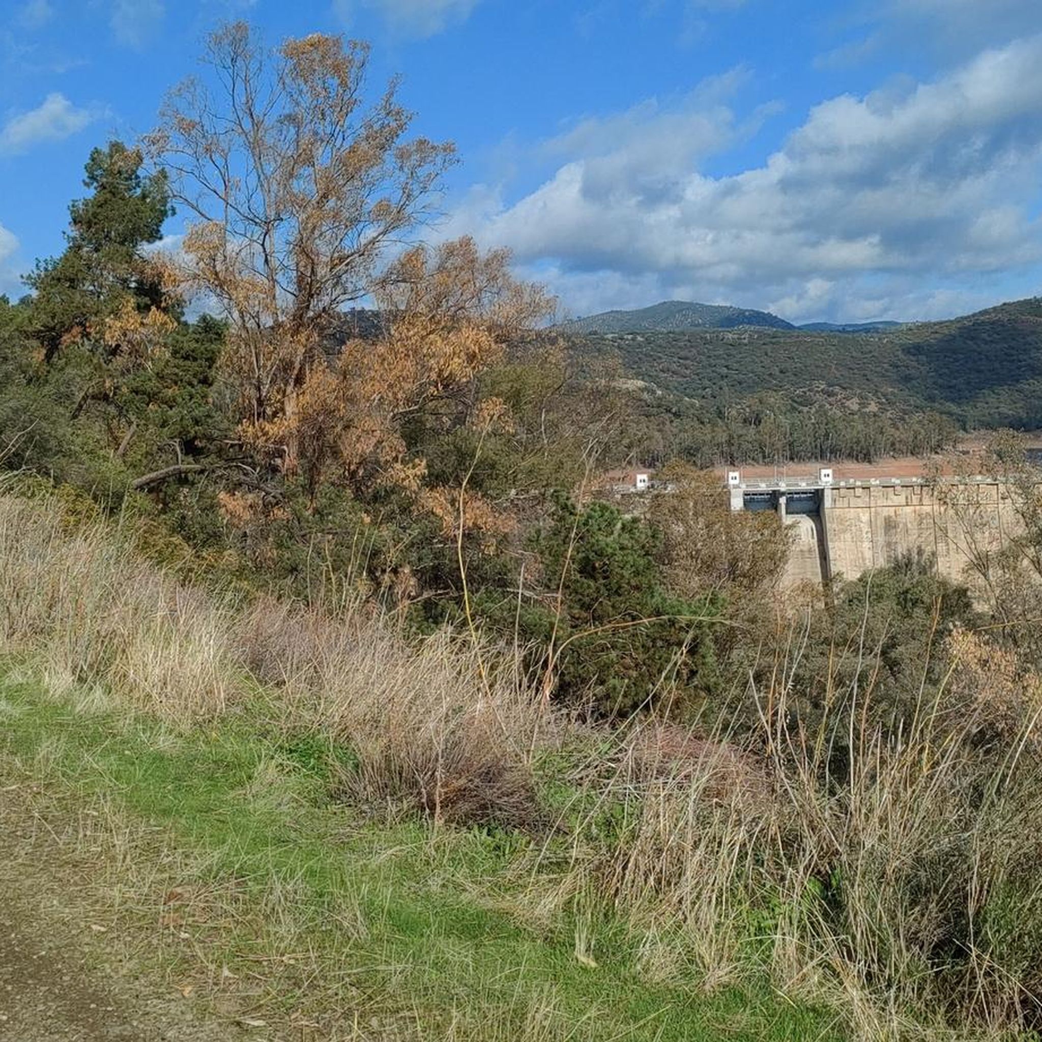
Cycling in Guadalmellato
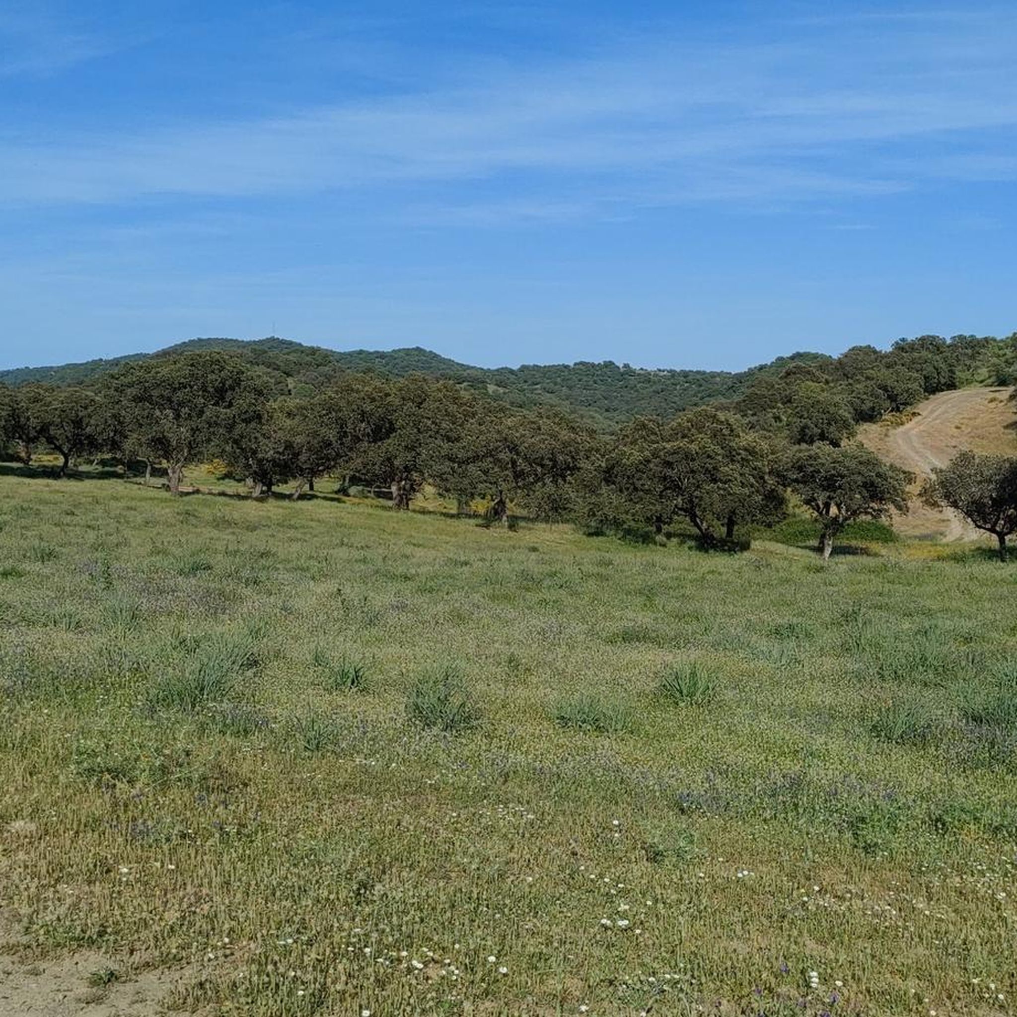
Cycling in Guadiato-Bembezar
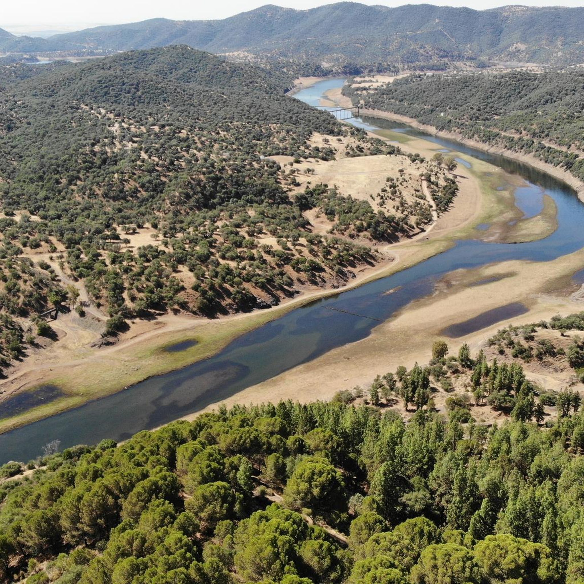
Cycling around Obejo
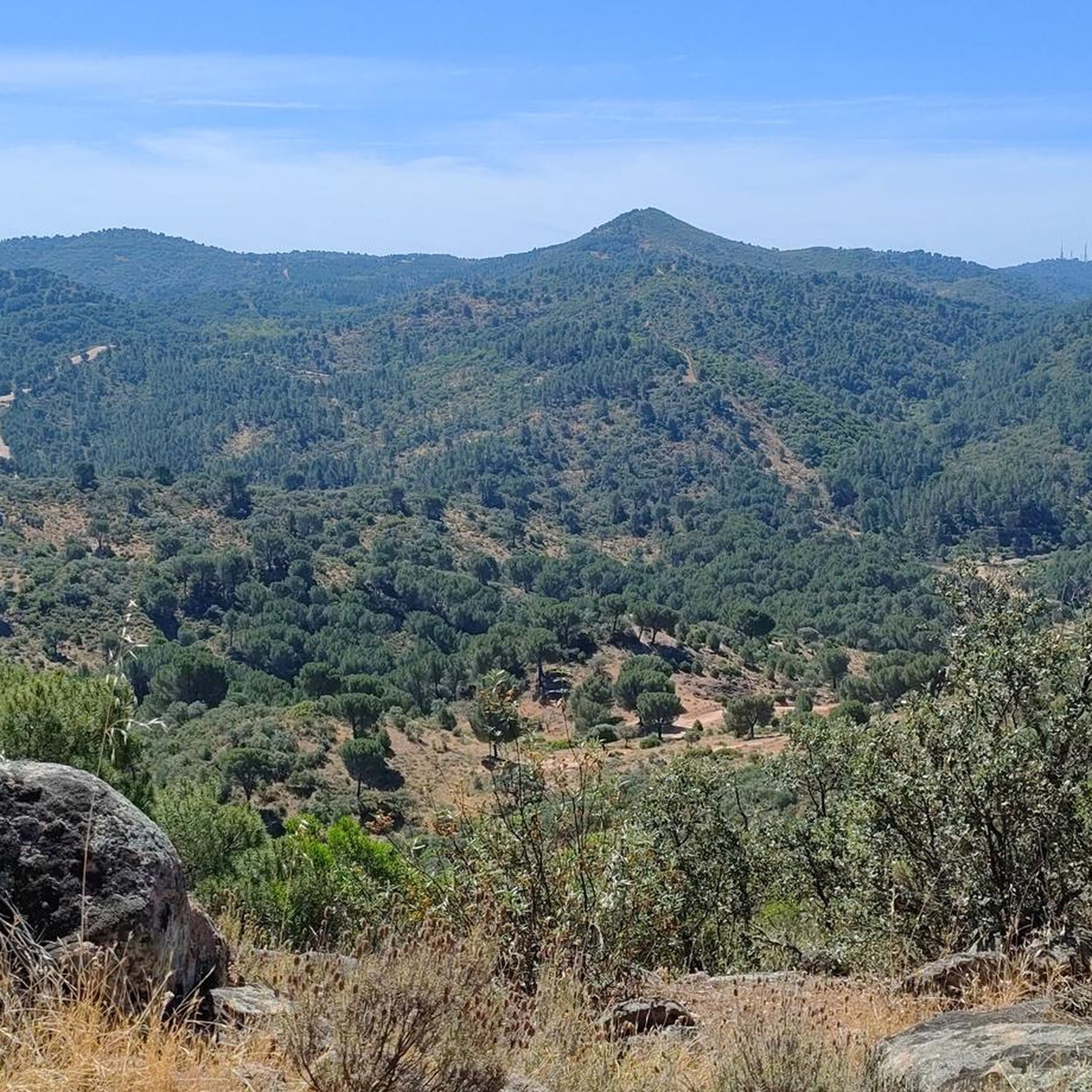
Cycling around Villaviciosa De Córdoba
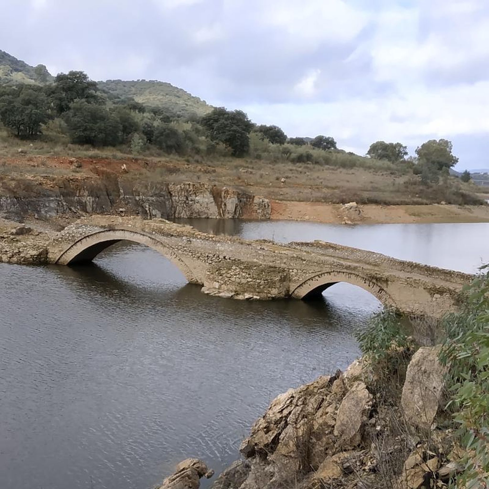
Cycling around Espiel
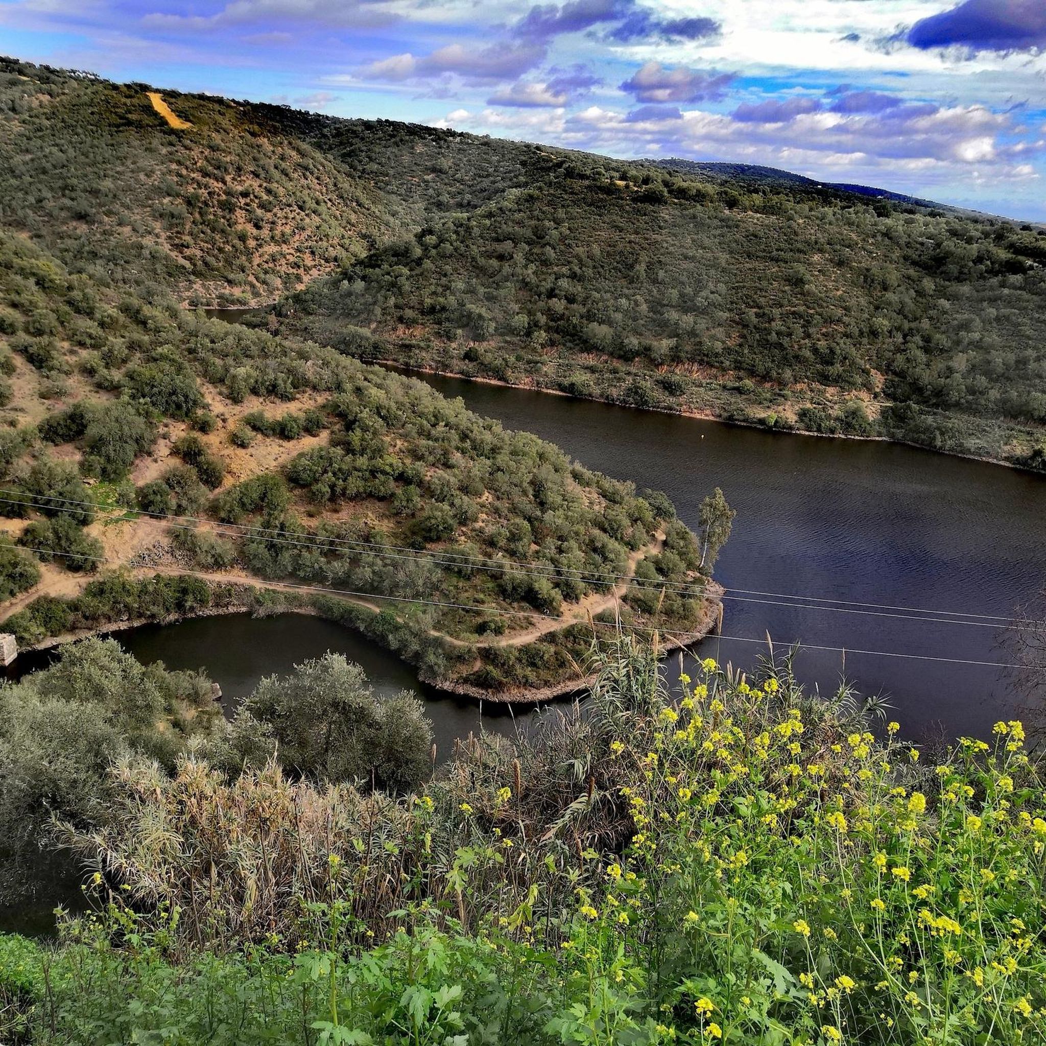
Cycling around National Park Sierra de Hornachuelos
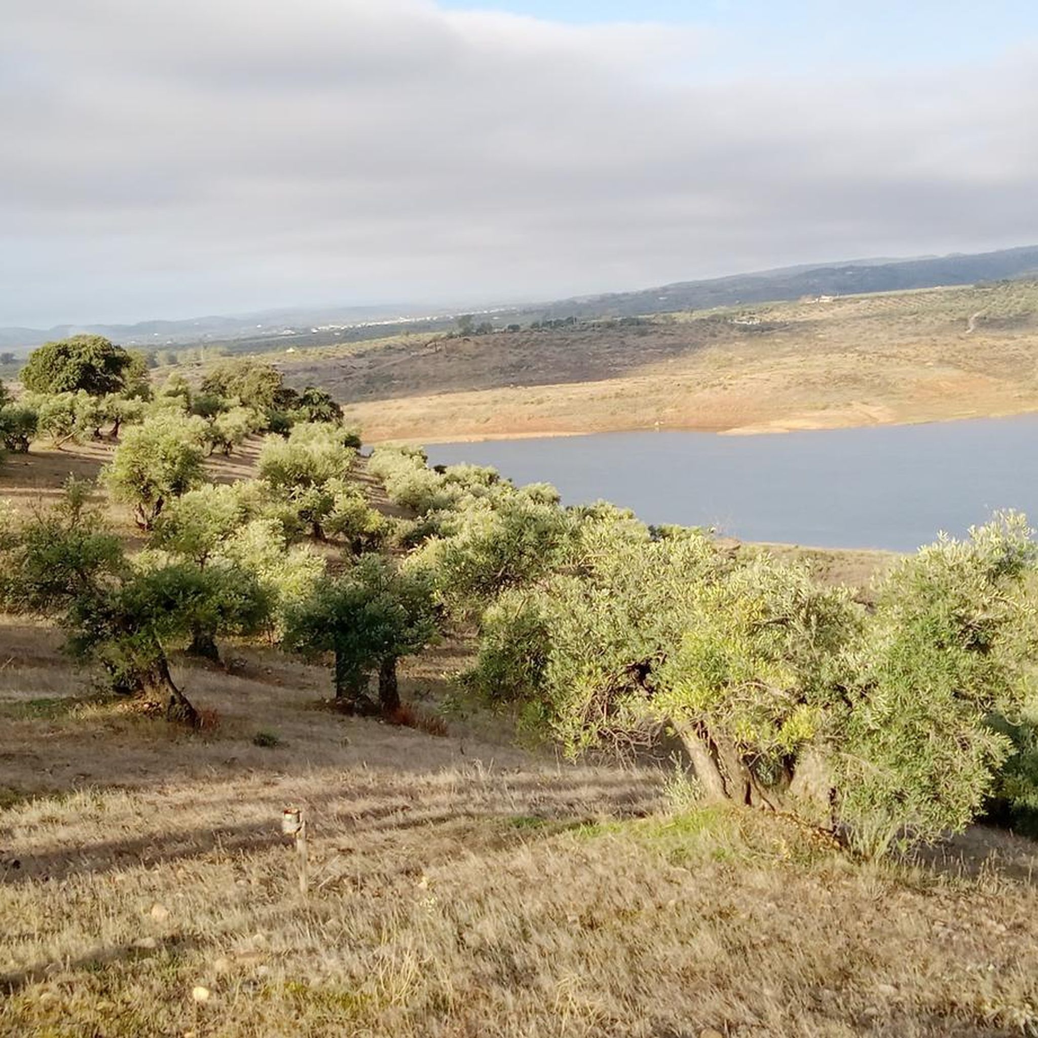
Cycling in Suroeste De La Sierra De Cardeña Y Montoro
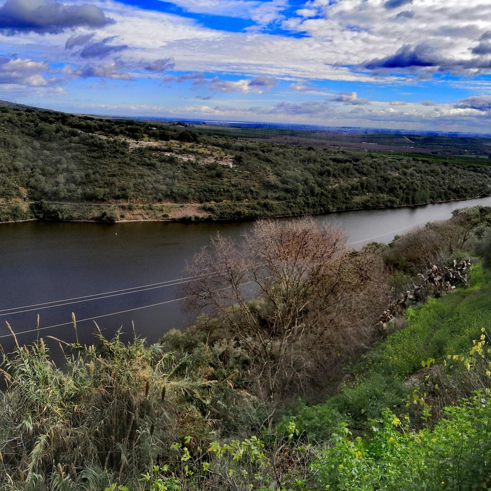
Cycling around Hornachuelos
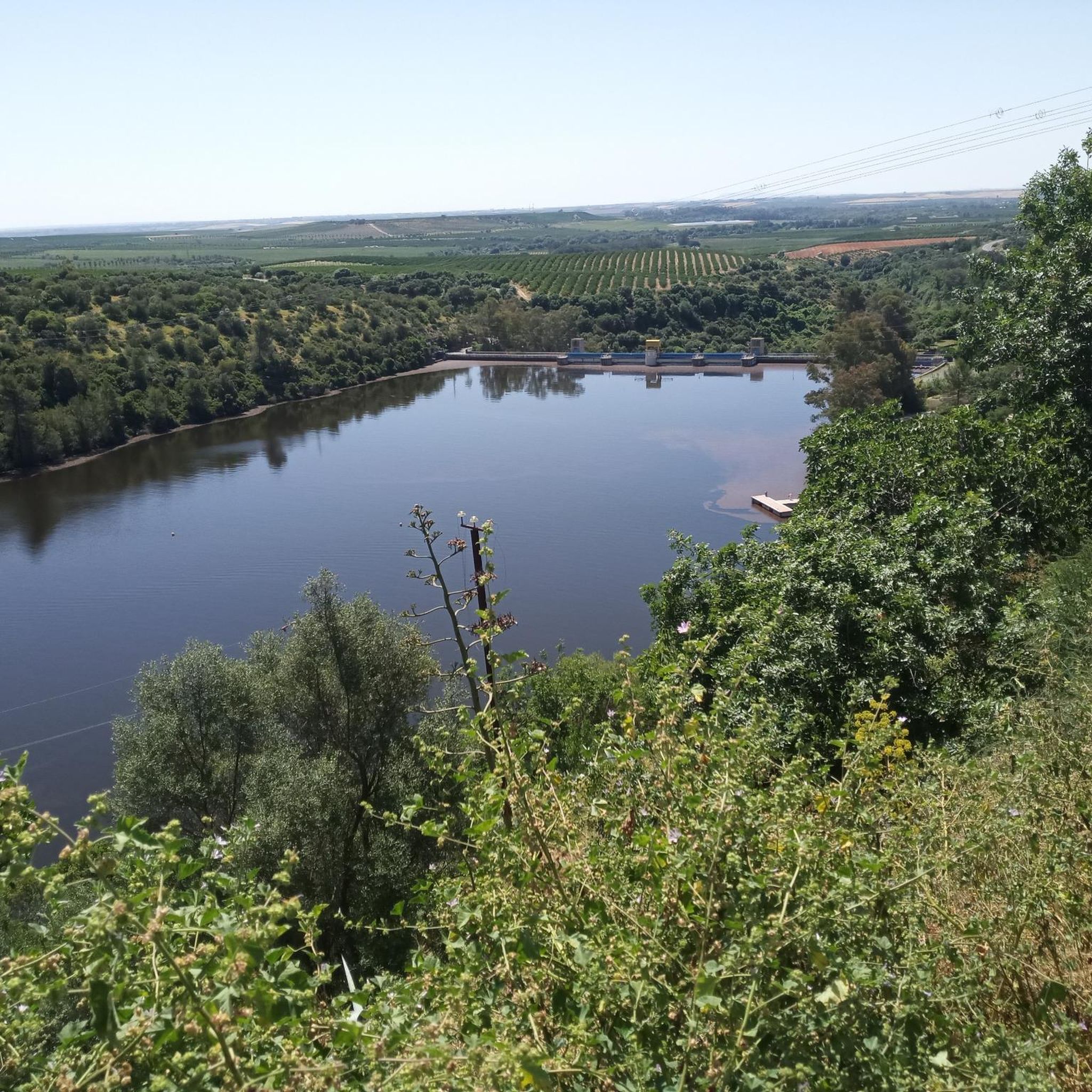
Cycling in Sierra De Hornachuelos
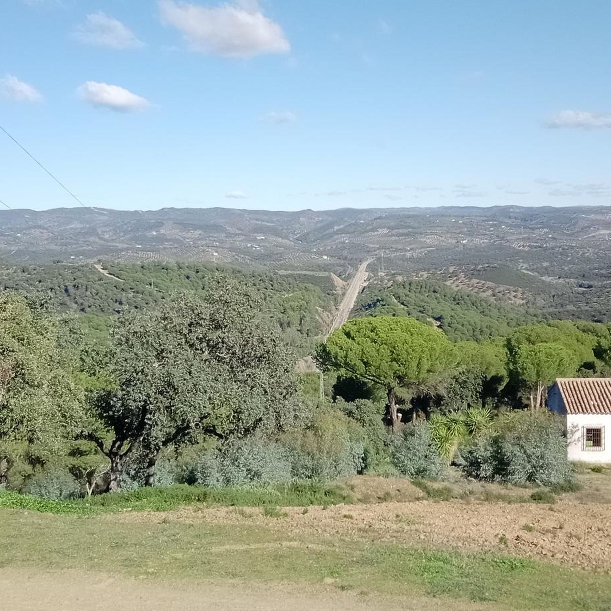
Cycling around Adamuz
Other adventures around La Sierra


Tips from the Community

Cardeña is a town in the north of the province of Córdoba with a population of just over 1,400 inhabitants, at an altitude of 821 meters above sea level. The municipality of this beautiful town includes the small towns of La Venta del Charco and Azuel. The population trend, as in most towns in Spain, has been declining, with a loss of almost 500 inhabitants since 1979. It's worth stopping by its bakeries selling bread and typical local pastries, as well as traditional cured meats, and of course, enjoying a few beers while enjoying its gastronomy.
0
0

Cardeña is a small but historically and naturally important municipality in the region. It is located in the northeast of the province of Córdoba and is part of the Parque Natural Sierra de Cardeña y Montoro, a protected natural area. Cardeña is an ideal place for a break by bike, good food and nature worth seeing. Perfect for a bike tour with a culinary break in picturesque surroundings! The region was sparsely populated for a long time and was strategically used as a border area between Christian and Muslim dominions in the Middle Ages. During the reign of Charles III (1759-1788), Spain encouraged the settlement of remote areas. As a result of this colonization policy, several small villages were created in the Sierra Morena, including Cardeña.
2
0
The Medina Azahara Visitor Centre in Córdoba is an ideal opportunity to explore the remains of the once magnificent 10th century palace city. It offers comprehensive information and insight into the history and significance of this important archaeological site. In 2018, the Medina Azahara archaeological complex was declared a UNESCO World Heritage Site. Entry is free for citizens of the European Union. Visitors from non-EU countries pay a small entrance fee.
3
0

A closed gate prevents you from continuing along this route.
1
0

Non-cycling route in many sections. Fences with padlocks Not recommended for bikes Yes for hiking
0
1

Espiel is a Spanish municipality in the province of Córdoba, Andalusia. In 2019 it had 2,397 inhabitants. Its surface area is 437.26 km² and it has a density of 5.69 inhabitants/km².
0
0
Municipality located to the east of the province of Córdoba, on the border with Jaén. Most of it is located in the foothills of Sierra Morena, making the Guadalquivir River the border with the countryside. Therefore, the mountains, the river and the countryside are the three elements that determine the landscape. The first is part of the Sierra de Cardeña y Montoro Natural Park, and in it we can find vegetation of holm oaks, wild olive trees, stone and maritime pines and a population of melojo oak, rare in Andalusia. It is also an area of great fauna, hunting and livestock value. The second, which surrounds the town, is the axis of the landscape, life and history of the town; Due to the beauty of the meander, it is also known as the Andalusian Toledo. The third, populated by olive trees, places us in a truly Cordoba environment. The town, with an Iberian, Greek, Roman, and Muslim past, is located on a small elevation that dominates the course of the river that divides it into two neighborhoods, offering an unmistakable image. Declared a Historic-Artistic Site in 1969, it brings together a multitude of attractions and tourist attractions to visit, such as the bridge over the river, the Church of San Bartolomé, the Casa de las Tercias, its steep streets of white houses, or the Torre de Villaverde. Its Holy Week, declared of Tourist Interest, reaches its greatest splendor on the afternoon of Holy Thursday with the presence of the Roman Empire. It is one of the towns included in the Baético Romana Route.
0
0
The Puente de las Donadas or Puente de las Doncellas, is located over the Guadalquivir River and connects the Retamar neighborhood with the rest of the town. Also known as Puente Mayor, it is located in the town of Montoro, Córdoba, and belongs to the Commonwealth of Alto Guadalquivir.
0
0
Frequently Asked Questions
How many touring cycling routes are available in La Sierra?
La Sierra offers a diverse network of over 30 touring cycling routes. These routes traverse natural parks, reservoirs, and varied hilly terrain, providing options for different skill levels.
What is the best time of year for touring cycling in La Sierra?
The most pleasant times for touring cycling in La Sierra are spring (March to May) and autumn (September to November). During these seasons, temperatures are milder, and the natural landscapes are vibrant. Summers can be very hot, and while winters are generally mild, some higher elevation areas might experience cooler conditions.
Are there any easy touring cycling routes in La Sierra suitable for beginners?
While many routes in La Sierra are rated as difficult due to the hilly terrain, there is at least one easy touring cycling route available. For those new to touring cycling or seeking a more relaxed ride, it's advisable to check the route profiles carefully for elevation gain and distance.
What kind of natural attractions can I expect to see along the touring cycling routes?
Touring cycling routes in La Sierra often pass through stunning natural areas. You can explore natural parks like the Sierra de Hornachuelos Natural Park and the Sierra de Cardeña y Montoro Natural Park. Many routes also feature beautiful reservoirs such as the Guadalmellato Reservoir and Dam, Bembézar Dam, and the Guadanuño Reservoir.
Are there any circular touring cycling routes in La Sierra?
Yes, La Sierra features several excellent circular touring cycling routes. A popular option is the Santa Maria de Trassierra — circular from Villaviciosa de Cordoba, which explores the natural surroundings of Villaviciosa de Cordoba. Another highly-rated circular route is the Circular Route of Hornachuelos and Las Navas.
What are the options for advanced touring cyclists looking for a challenge?
Advanced touring cyclists will find plenty of challenging routes in La Sierra. The region is characterized by hilly terrain with significant elevation changes. Routes like Santa Maria de Trassierra — circular from Villaviciosa de Cordoba, with over 1500 meters of elevation gain, offer a demanding experience. Many of the 26 difficult routes provide substantial climbs and descents.
Can I find touring cycling routes that pass by reservoirs?
Absolutely. La Sierra is known for its reservoirs, and many touring cycling routes incorporate them into their scenic paths. For example, the Embalse de la Breña from Hornachuelos — circular through the Sierra de Hornachuelos Natural Park leads directly past the Embalse de la Breña reservoir. You can also explore the Puente Nuevo Reservoir Loop.
What do other touring cyclists say about the routes in La Sierra?
The touring cycling routes in La Sierra are highly regarded by the komoot community, holding an average rating of 3.7 stars from over 11 reviews. Cyclists often praise the diverse scenery, the challenge of the hilly terrain, and the opportunity to explore natural parks and reservoirs.
Are there any less crowded touring cycling routes in La Sierra?
To find less crowded routes, consider exploring some of the lesser-known paths or visiting during off-peak seasons. While popular routes like those around Hornachuelos attract many, routes deeper within the natural parks, such as the Sierra de Cardeña y Montoro Natural Park Loop from Montoro, might offer a more secluded experience.
Are there any specific natural monuments to look out for while cycling?
Yes, La Sierra is home to several natural monuments that can be explored. Keep an eye out for unique geological formations like Piedra Horadada or natural springs such as the Malos Pasos Spring. These offer interesting points of interest along your ride.
What is the typical length of touring cycling routes in La Sierra?
The touring cycling routes in La Sierra vary significantly in length. Many popular routes are quite substantial, ranging from approximately 40 to 90 kilometers (25 to 56 miles). For instance, the Camino del Bejarano – Arroyo Bejarano loop from Cerro Muriano is nearly 90 km long, while shorter options like the Bembézar Dam – Hornachuelos Dam loop from Hornachuelos are around 30 km.
Are there any touring cycling routes that offer views of the Sierra de Cardeña y Montoro Natural Park?
Yes, the Sierra de Cardeña y Montoro Natural Park Loop from Montoro is specifically designed to showcase the beauty of this natural park. This route provides an immersive experience through its landscapes, offering views of the diverse flora and fauna of the region.
Most popular routes around La Sierra
Most popular attractions around La Sierra

Get inspired with the komoot mobile app


Didn’t find what you were looking for?
Check out more Cycling routes throughout La Sierra below and find the perfect route in your destination.
Explore more
Browse the best Cycling routes in other regions.
