Easy hikes and walks around La Sierra
4.5
(549)
2,422
hikers
191
hikes
Easy hiking trails around La Sierra offer diverse landscapes for outdoor exploration. The region is characterized by rolling hills, dense forests, and river valleys, providing a variety of natural settings for walkers. Many trails feature reservoirs and natural bridges, showcasing the area's geological features. With more than 50 easy hiking trails, La Sierra provides accessible options for all skill levels.
Best easy hiking trails around La Sierra
- The most popular easy hiking route is Carolinas Fountains Trail, a 4.0…
Last updated: July 3, 2026
3
hikers
6.49km
01:44
70m
70m
Explore the easy, 4.0-mile circular Route of the Carolinas Fountains in Fuente Palmera, featuring historical water sources and agricultural
5.0
(1)
1
hikers
5.95km
01:45
170m
170m
The circular route "Obejo — circular GR48 — Sendero de Sierra Morena" invites you on a serene stroll through the heart of Andalusia. This easy 3.7-mile (5.9 km) walk, with…

Sign up for free
4.8
(4)
13
hikers
4.31km
01:07
30m
30m
Easy hike. Great for any fitness level. Easily-accessible paths. Suitable for all skill levels.
7
hikers
6.23km
01:38
50m
50m
Easy hike. Great for any fitness level. Easily-accessible paths. Suitable for all skill levels.
4.3
(3)
8
hikers
5.55km
01:31
90m
90m
Easy hike. Great for any fitness level. Easily-accessible paths. Suitable for all skill levels.
8
hikers
6.18km
01:47
150m
150m
Easy hike. Great for any fitness level. Easily-accessible paths. Suitable for all skill levels.
7
hikers
7.47km
02:00
80m
80m
Easy hike. Great for any fitness level. Easily-accessible paths. Suitable for all skill levels.
4.0
(2)
5
hikers
4.38km
01:18
130m
130m
Easy hike. Great for any fitness level. Easily-accessible paths. Suitable for all skill levels.
2
hikers
7.61km
01:57
20m
20m
Easy hike. Great for any fitness level. Easily-accessible paths. Suitable for all skill levels.
1
hikers
5.82km
01:36
100m
100m
Easy hike. Great for any fitness level. Easily-accessible paths. Suitable for all skill levels.
Get access to more routes and recommendations from other explorers.
Sign up for free
Already have an account?
Our route recommendations are based on thousands of hikes, rides, and runs completed by other people on komoot.
Start today with a free account
Your next adventure awaits.
Login or Signup
Popular around La Sierra

Easy hikes in Guadiato-Bembezar

Easy hikes in Guadalmellato

Easy hikes around National Park Sierra de Hornachuelos

Easy hikes in Sierra De Hornachuelos

Easy hikes in Suroeste De La Sierra De Cardeña Y Montoro
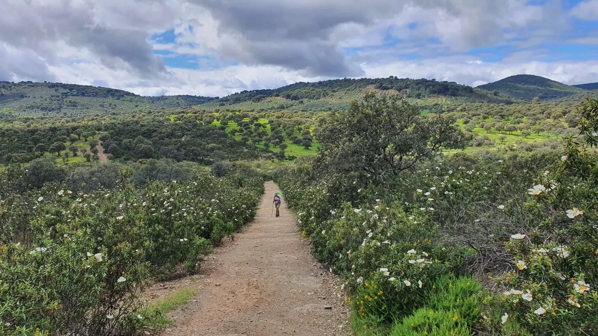
Pastures, Pedroches and farmhouses — Cañada Real Soriana (GR 40)
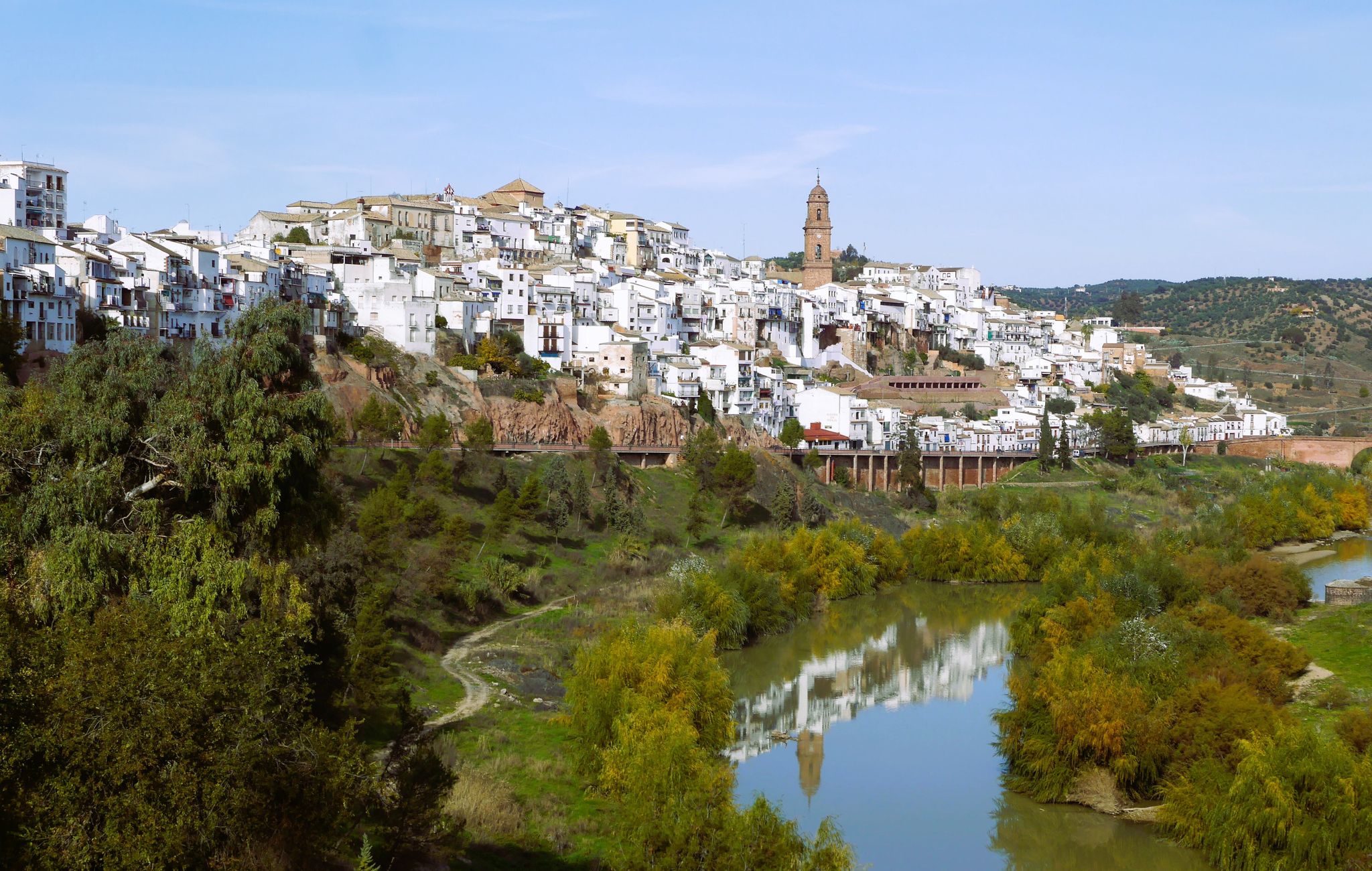
Hike the glorious countryside of Cordoba and Jaen – Sierra Morena (GR 48)
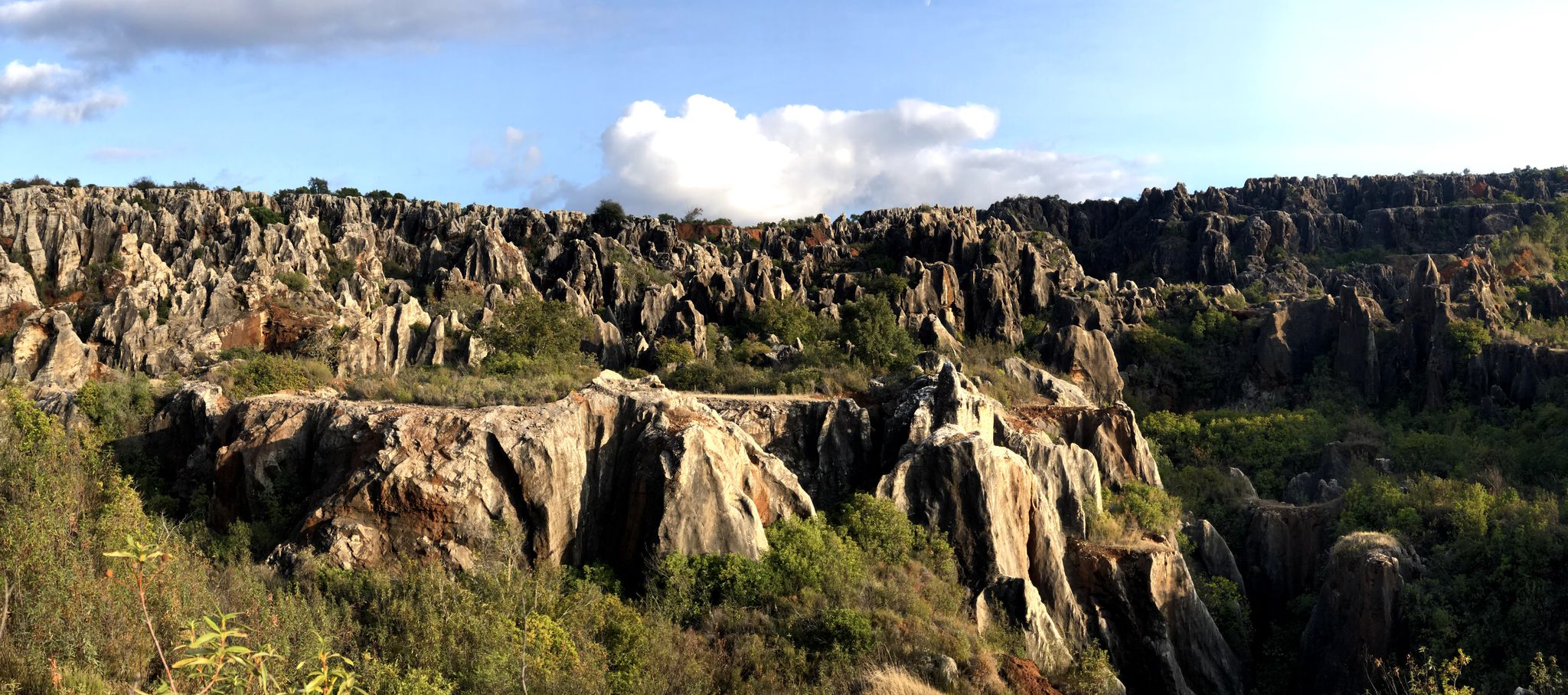
Cycling among the mysterious faults – Sierra Morena (GR 48)

Let’s head south – cycle in Andalusia with me and my dog
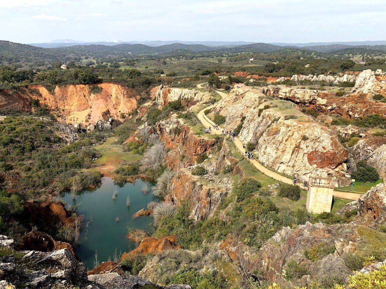
Journey through Spain’s Sierra Morena — Cordoba to Seville by bike
Other adventures around La Sierra


Tips from the Community

Good starting point for hikes around the reservoir, but to get to the dam you have to go through the entrance and then a bit along the road if you don't want to climb over the guardrail.
0
0

The Guadanuño Reservoir is located on the Guadanuño River bed forming part of the municipalities of Obejo, Córdoba and Villaviciosa de Córdoba, in the province of Córdoba.
0
0

The end of the Fuentes Carolinas Route in Fuente Palmera, the Fuentecilla is a spring that supplied the population with water for a long time.
1
0
A viewpoint where we can enjoy the traditional landscape typical of the Vega del Guadalquivir (cotton crops, olive groves, etc.). It has a bench and an information panel on the Fuentes Carolinas Route in Fuente Palmera. Nearby is a park-picnic area.
1
0

It is a beautiful stone bridge that passes over the Guadalquivir river. It is supported by four semicircular arches and was built in 1498 with the idea of connecting the different urban centers of Montoro.
1
1
From the viewpoint of the Roman Empire, in the heart of the urban center of Montoro, there is a beautiful view of the Guadalquivir and the Retamar neighborhood. This beautiful river meanders, leaving green slopes on each bank, in such a way that it contrasts with the white houses that crowd the background.
1
1
Of the parish of San Antonio Abad, the tower stands out above all, which is reminiscent of similar constructions from the time of Al-Andalus. From the square there are very nice views of the countryside and the ruins of the castle of Ubal.
1
0
Although the castle of Ubal is currently in ruins and only some remains of the towers remain, it is known that it is probably a construction from the Muslim period. It can be seen more closely from the church of San Antonio Abad de Obejo.
1
0
Frequently Asked Questions
How many easy hiking trails are available in La Sierra?
La Sierra offers a wide selection of easy hiking trails, with over 50 routes specifically categorized as easy. In total, there are 188 hiking trails across various difficulty levels in the region.
What do other hikers say about the easy trails in La Sierra?
The easy trails in La Sierra are highly regarded by the komoot community, holding an impressive average rating of 4.5 stars from more than 380 reviews. Hikers frequently praise the diverse landscapes, including rolling hills, dense forests, and river valleys, as well as the accessible nature of the paths.
Are there any circular easy walks in La Sierra?
Yes, La Sierra features several excellent circular easy walks. One popular option is the Obejo — circular GR48 — Sendero de Sierra Morena, a 3.7-mile (5.9 km) route offering scenic views of the Sierra Morena landscape. Another is the Los Arenales Bridge – Caliphal Bridge loop from Bar los Arenales, which is 2.7 miles (4.3 km) and takes you through riverine areas.
Can I find family-friendly easy hikes in La Sierra?
Absolutely. Many of the easy hiking trails in La Sierra are well-suited for families. The region's routes are characterized by gentle elevation changes and varied terrain, making them enjoyable for all ages. The Carolinas Fountains Trail, for example, is a 4.0-mile (6.5 km) path featuring natural water features that can be particularly engaging for children.
What kind of natural features or landmarks can I expect to see on easy hikes in La Sierra?
Easy hikes in La Sierra often lead you through diverse natural settings. You can encounter rolling hills, dense forests, and river valleys. Notable natural features include the Malos Pasos Spring and the unique rock formation of Piedra Horadada. Many trails also offer views of reservoirs and natural bridges.
Are there easy trails that feature reservoirs or water bodies?
Yes, La Sierra is known for its reservoirs and water features. Several easy trails offer views of or lead directly to these bodies of water. For instance, the Las Jaras Dam – Lake La Encantada loop from Córdoba is a 4.0-mile (6.4 km) route that explores the area around these water bodies. You can also find the Guadalmellato Reservoir and Dam and the Guadanuño Reservoir along various paths.
What are the typical terrain and elevation changes like on easy hikes in La Sierra?
Easy hikes in La Sierra generally feature gentle terrain with manageable elevation changes, making them accessible for most fitness levels. The landscape primarily consists of rolling hills, river valleys, and forested areas. For example, the Los Arenales Bridge – Caliphal Bridge loop has minimal elevation gain, while the Obejo — circular GR48 involves slightly more ascent but remains within the easy difficulty range.
Are there any easy trails suitable for shorter walks?
Yes, La Sierra offers several easy trails perfect for shorter walks. The Tranquility Area Trail loop from Los Villares is a good example, covering about 1.8 miles (2.9 km) and typically completed in under an hour. The Los Arenales Bridge – Caliphal Bridge loop is another short option at 2.7 miles (4.3 km).
Is parking available near the easy hiking trails in La Sierra?
While specific parking information varies by trailhead, many popular easy hiking trails in La Sierra, especially those near towns or natural attractions, typically offer designated parking areas or roadside parking options. It's always advisable to check local signage upon arrival.
What is the best time of year for easy hiking in La Sierra?
The best time for easy hiking in La Sierra is generally during the spring (March to May) and autumn (September to November) months. During these seasons, the weather is typically mild and pleasant, with comfortable temperatures and less extreme heat than summer, and less chance of heavy rain or cold than winter. This allows for enjoyable exploration of the region's diverse landscapes.
Are dogs allowed on the easy hiking trails in La Sierra?
Many easy hiking trails in La Sierra are dog-friendly, allowing you to enjoy the outdoors with your canine companion. However, it's always recommended to keep dogs on a leash, especially in areas with wildlife or near livestock, and to check for any specific local regulations or signage at the trailhead regarding pet access.
How accessible are the easy trails in La Sierra by public transport?
Accessibility by public transport to easy trails in La Sierra can vary depending on the specific trailhead's proximity to towns and bus routes. While some trails might be reachable via local bus services, particularly those closer to larger settlements, many trailheads are best accessed by car. It's recommended to research specific routes and their nearest public transport links before planning your trip.
Are there any easy trails that offer unique views or viewpoints?
Yes, several easy trails in La Sierra provide unique views and scenic viewpoints. The region's rolling hills and varied topography often open up to panoramic vistas. For example, some routes may offer views of the Seminario de los Ángeles or expansive views over the Sierra Morena landscape, as seen on the Obejo — circular GR48 trail.
Most popular routes around La Sierra
Most popular attractions around La Sierra

Get inspired with the komoot mobile app


Didn’t find what you were looking for?
Check out more Hikes throughout La Sierra below and find the perfect route in your destination.
Explore more
Browse the best Hikes in other regions.
