The best mountain hikes around Gorenja Vas-Poljane
5.0
(2)
63
hikers
5
hikes
Mountaineering routes around Gorenja Vas-Poljane traverse a diverse landscape characterized by pre-Alpine terrain, dense forests, and open meadows. The region is dominated by peaks such as Mount Blegoš, offering panoramic views of the surrounding Julian Alps and Karawanks. Limestone formations and deep ravines are present, particularly within the Polhograjski Dolomiti Landscape Park. This varied topography provides a range of ascents and descents for mountaineers.
Best mountaineering routes around Gorenja Vas-Poljane
- The most popular mountaineering route is Prtovč Village loop from…
Last updated: August 9, 2026
5.0
(1)
23
hikers
6.93km
03:34
650m
650m
Moderate mountaineering route. Good fitness required. Mostly accessible paths. Sure-footedness required.
15
hikers
6.08km
03:31
640m
640m
Moderate mountaineering route. Good fitness required. Mostly accessible paths. Sure-footedness required.

Sign up for free
7
hikers
4.75km
02:07
430m
430m
Moderate mountaineering route. Good fitness required. Easily-accessible paths. Suitable for all skill levels.
9
hikers
7.19km
02:45
460m
460m
Hard mountaineering route. Good fitness required. Sure-footedness, sturdy shoes and alpine experience required.
5.0
(1)
7
hikers
4.10km
02:16
390m
390m
Moderate mountaineering route. Good fitness required. Mostly accessible paths. Sure-footedness required.
Our route recommendations are based on thousands of hikes, rides, and runs completed by other people on komoot.
Start today with a free account
Your next adventure awaits.
Login or Signup
Popular around Gorenja Vas-Poljane
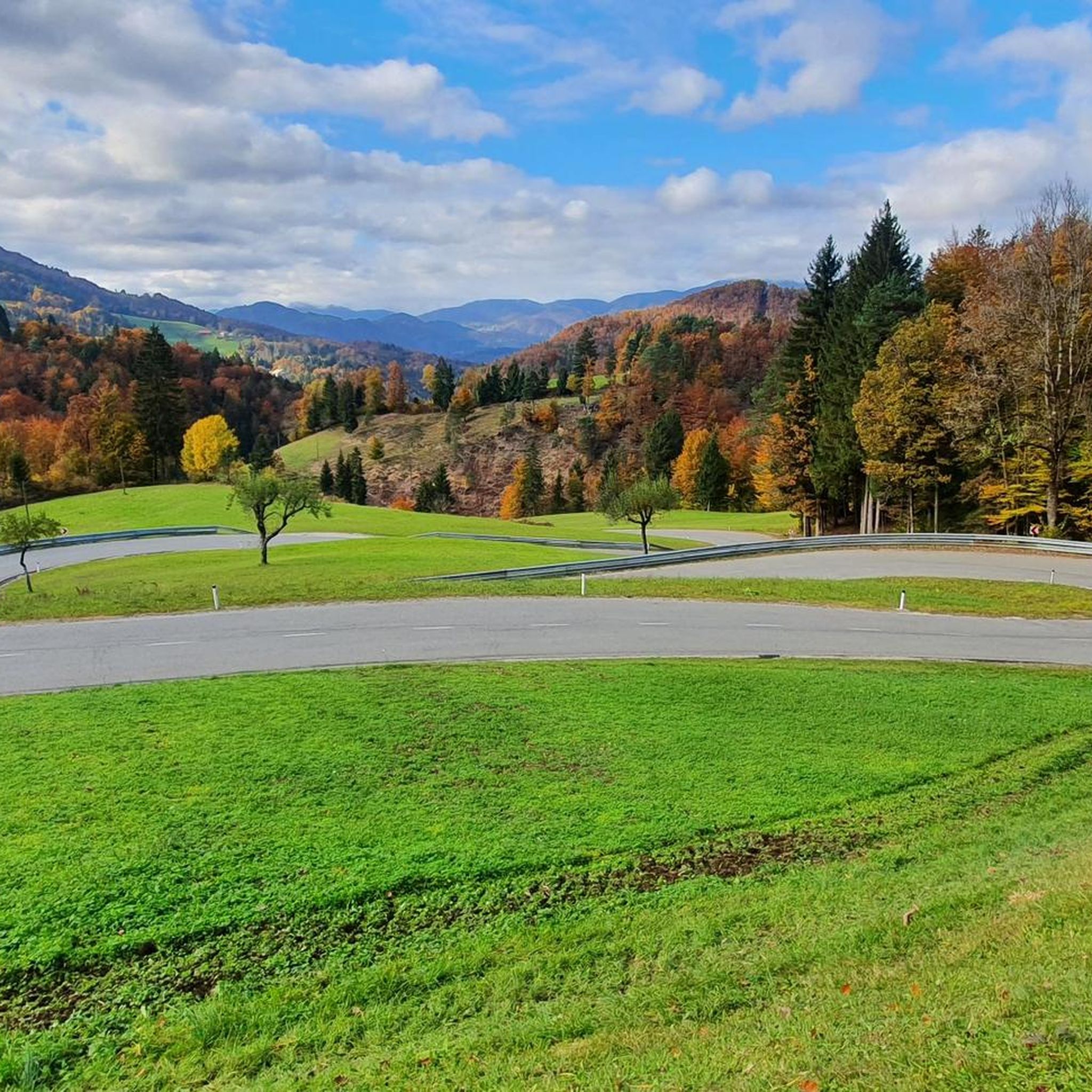
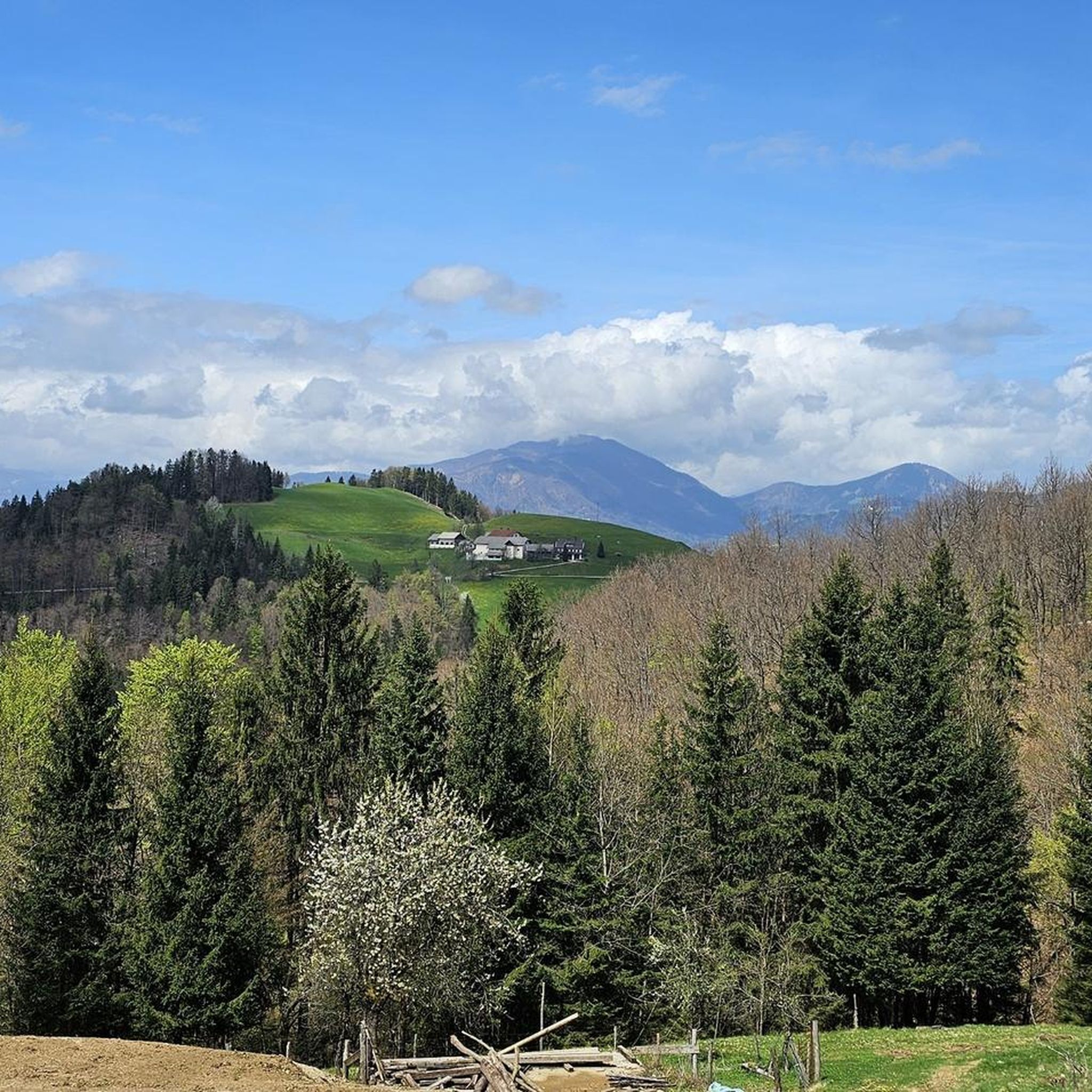

Other adventures around Gorenja Vas-Poljane

Tips from the Community

Excellent strudel, juicy and sweet and delicious.
0
0

Mountain with one of the most beautiful views and Krek hut with good food
0
0
Hill village, peace and nature; starting point for mountain Ratitovec
0
0
Frequently Asked Questions
How many mountaineering routes are available in Gorenja Vas-Poljane?
There are 5 dedicated mountaineering routes around Gorenja Vas-Poljane, offering diverse experiences through pre-Alpine terrain and scenic landscapes. These routes are generally considered moderate to difficult, providing a good challenge for mountaineers.
What makes Gorenja Vas-Poljane a unique destination for mountaineering?
Gorenja Vas-Poljane is unique for its diverse landscape, featuring prominent peaks like Mount Blegoš, the picturesque Poljanska Dolina, and the geological wonders of the Polhograjski Dolomiti Landscape Park. The region offers panoramic views of the Julian Alps and Karawanks, with trails winding through dense forests, open meadows, and limestone formations.
Are there any easy mountaineering routes suitable for beginners?
The mountaineering routes in Gorenja Vas-Poljane are generally rated as moderate to difficult. While there are no routes specifically classified as 'easy' in this selection, some moderate trails, such as the Prtovč Village loop from Prtovč, offer a good introduction to the region's terrain without extreme technical demands. It's always recommended to assess your fitness level before embarking on any route.
What do other mountaineers say about the routes in Gorenja Vas-Poljane?
The routes in Gorenja Vas-Poljane are highly regarded by the komoot community, holding an average score of 5.0 stars. Mountaineers often praise the varied terrain, the stunning views from peaks like Blegoš, and the well-maintained paths that lead through forests and pre-Alpine hills.
Are there any circular mountaineering routes in the area?
Yes, several routes in Gorenja Vas-Poljane are circular, allowing you to start and end at the same point. Examples include the Prtovč Village loop from Prtovč, which explores local village surroundings, and the Špik – Blegoš loop from Črni kal, offering ascents towards Mount Blegoš.
Can I find any waterfalls along the mountaineering trails?
While not directly on all mountaineering trails, the region is home to the captivating Slatuški Slapovi Waterfalls near Žetin. These seven waterfalls cascade through a 40-meter-deep ravine, offering a beautiful natural attraction that can be visited as a side trip to your mountaineering adventure.
What are some interesting landmarks or attractions to see near the routes?
Beyond the trails, the region offers several points of interest. You can visit the Blegoš Summit for panoramic views, or explore the Koča na Blegošu Mountain Hut. Other attractions include the Ivan Tavčar Country Manor at Visoko, the historical Rupnik Line bunkers, and the Šubic House, showcasing local art.
Are there any family-friendly mountaineering options?
While the listed mountaineering routes are moderate to difficult, the broader Gorenja Vas-Poljane area offers a range of outdoor activities. For families, consider exploring the less strenuous paths within the Polhograjski Dolomiti Landscape Park or trails around the Poljanska Dolina, which provide beautiful scenery without the intensity of higher mountain ascents. Always check route details for suitability.
Is it possible to bring dogs on the mountaineering trails?
Many trails in the Poljane Valley and surrounding pre-Alpine areas are generally dog-friendly, but it's always advisable to keep your dog on a leash, especially in protected areas or near livestock. Ensure your dog is fit enough for the chosen route, as some mountaineering trails can be challenging. Always carry water for your pet.
Are there mountain huts or cafes along the routes for refreshments?
Yes, you can find places for refreshments. For instance, the Koča na Blegošu Mountain Hut is a popular spot near the Blegoš Summit, offering a place to rest and refuel. The wider area also features numerous tourist farms where you can experience local hospitality and traditional cuisine.
What is the best time of year for mountaineering in Gorenja Vas-Poljane?
The best time for mountaineering in Gorenja Vas-Poljane is typically from late spring to early autumn (May to October). During these months, the weather is generally more stable, and trails are clear of snow, offering optimal conditions for ascents and enjoying the panoramic views. Always check local weather forecasts before heading out.
Are there any routes that lead to prominent peaks?
Absolutely. Mount Blegoš, at 1,562m, is a central draw for mountaineers in the region. Routes like the Špik – Blegoš loop from Črni kal and the Debela peč – Blegoš loop from Črni kal offer direct ascents to its summit, providing expansive vistas of the Julian Alps, Karawanks, and Kamnik–Savinja Alps.
Where can I park when accessing the mountaineering trails?
Parking availability varies by trailhead. For routes starting from villages like Prtovč or Črni kal, you can often find designated parking areas. For example, routes like the Prtovč Village loop from Prtovč and the Špik – Blegoš loop from Črni kal typically have parking options nearby. It's recommended to check specific route descriptions for detailed parking information.
Most popular routes around Gorenja Vas-Poljane
Most popular attractions around Gorenja Vas-Poljane

Get inspired with the komoot mobile app


Explore more
Browse the best Mountain Hikes & Routes in other regions.
