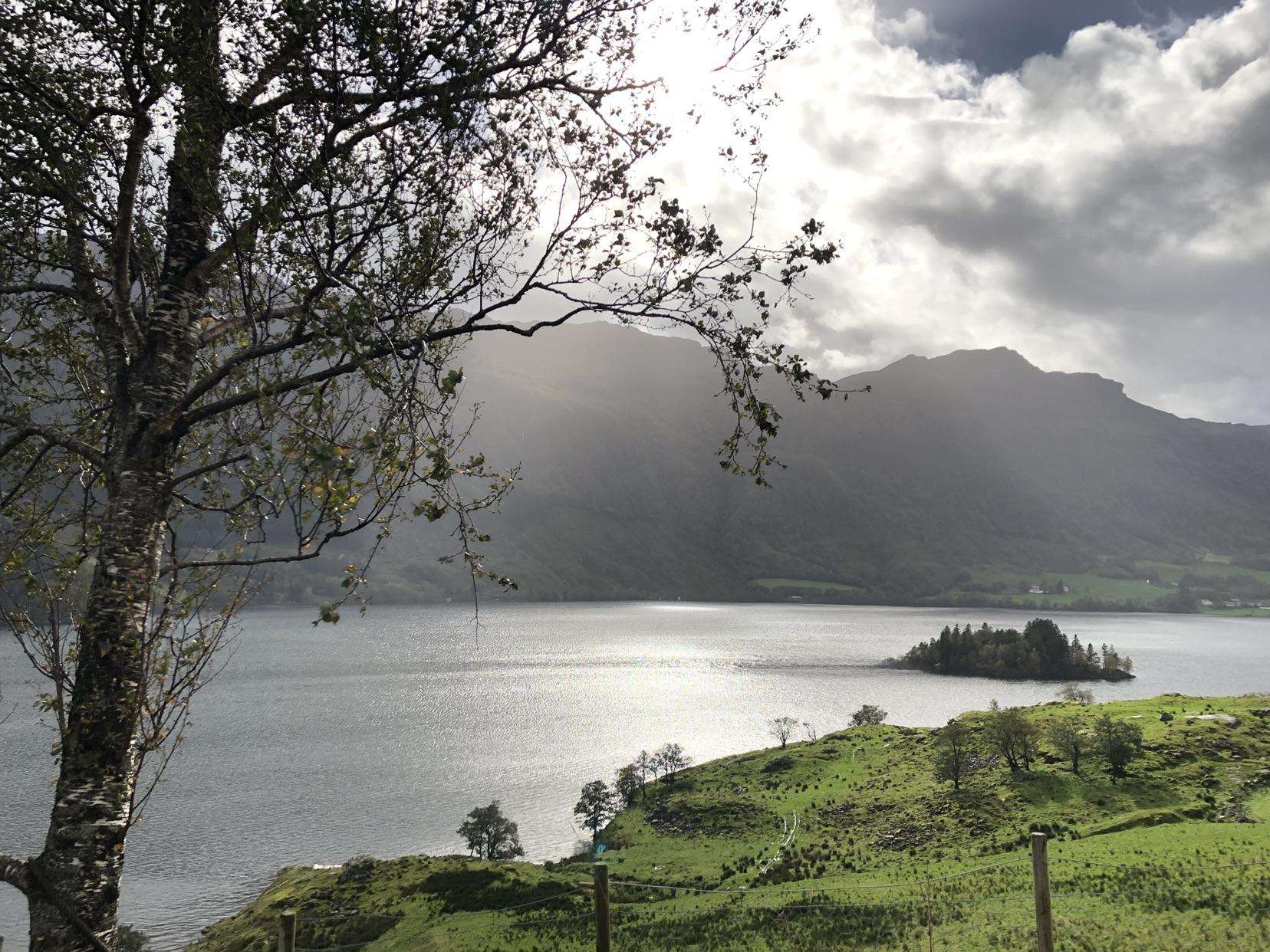
The best road cycling routes around Stordalsvatnet
5.0
(1)
31
riders
2
rides
Road cycling around Stordalsvatnet offers routes through a landscape defined by the expansive lake, surrounding mountainous terrain, and river valleys. The region features a varied topography, providing a mix of relatively flat sections along the water and rivers, interspersed with climbs and descents. Roads often run along the lake's perimeter, offering continuous views of the water and natural surroundings. This area provides suitable conditions for road bikes, with mostly well-paved surfaces.
Best road cycling routes around Stordalsvatnet
- The most popular…
Last updated: May 14, 2026
17
riders
61.0km
03:02
890m
890m
Moderate road ride. Good fitness required. Mostly well-paved surfaces and easy to ride.
5.0
(1)
8
riders
56.8km
02:38
560m
560m
Moderate road ride. Good fitness required. Mostly well-paved surfaces and easy to ride.

Sign up for free
6
riders
37.6km
02:06
540m
540m
Moderate road ride. Good fitness required. Mostly well-paved surfaces and easy to ride.
Our route recommendations are based on thousands of hikes, rides, and runs completed by other people on komoot.
Start today with a free account
Your next adventure awaits.
Login or Signup
Popular around Stordalsvatnet

Frequently Asked Questions
What kind of terrain can I expect on road cycling routes around Stordalsvatnet?
The Stordalsvatnet region offers a diverse cycling experience. You'll find relatively flat and picturesque sections along the lake's perimeter, providing continuous water views. As you venture further, the routes incorporate mountainous terrain and river valleys, leading to a mix of climbs and descents. Roads in Norwegian valleys are often scenic, with some offering less strenuous rides through dramatic landscapes, while others present challenging climbs with rewarding views from higher elevations.
Are the road surfaces suitable for road bikes?
Yes, the road biking routes in the broader Etne area, including around Stordalsvatnet, generally feature mostly well-paved surfaces. This makes them suitable for road bikes, allowing for smooth and enjoyable rides. However, it's always good to be prepared, as some quieter segments might be less maintained.
How many road cycling routes are available around Stordalsvatnet?
Komoot currently features a selection of road cycling routes around Stordalsvatnet, with options for different ability levels. For example, you can explore routes like Øsparehaugen – Hagaskar loop from Frette kapell or Pebaren loop from Gjerde kyrkje.
What is the typical difficulty level of road cycling routes in this area?
The routes around Stordalsvatnet primarily offer moderate challenges. For instance, the Øsparehaugen – Hagaskar loop from Frette kapell is rated as moderate, featuring significant elevation gain. Similarly, the Pebaren loop from Gjerde kyrkje also presents a moderate challenge with scenic views and a steady climb.
Are there any circular road cycling routes around Stordalsvatnet?
Yes, many of the routes are designed as loops, allowing you to start and end at the same point. Examples include the Øsparehaugen – Hagaskar loop from Frette kapell and the Pebaren loop from Gjerde kyrkje, which offer comprehensive tours of the area's landscapes.
What do other cyclists say about road cycling around Stordalsvatnet?
The area is highly rated by the komoot community, with an average score of 5.0 stars. Over 30 road cyclists have used komoot to explore Stordalsvatnet's varied terrain, often praising the dramatic landscapes, lake views, and the peaceful environment that allows for an immersive experience in nature.
What is the best time of year for road cycling in Stordalsvatnet?
While specific seasonal data isn't available, the general Norwegian cycling season typically runs from late spring through early autumn (May to September) when weather conditions are most favorable, and roads are clear of snow and ice. This period offers the best chance for enjoying the scenic routes and comfortable temperatures.
Are there any places to stop for refreshments or food along the routes?
The region around Stordalsvatnet is known for its natural beauty and peaceful environment. While specific cafes or pubs directly on every route are not detailed, the municipality of Etne, where Stordalsvatnet is located, will have options for refreshments. Planning your route with potential stops in mind, especially in larger villages, is advisable.
What kind of views can I expect while cycling around Stordalsvatnet?
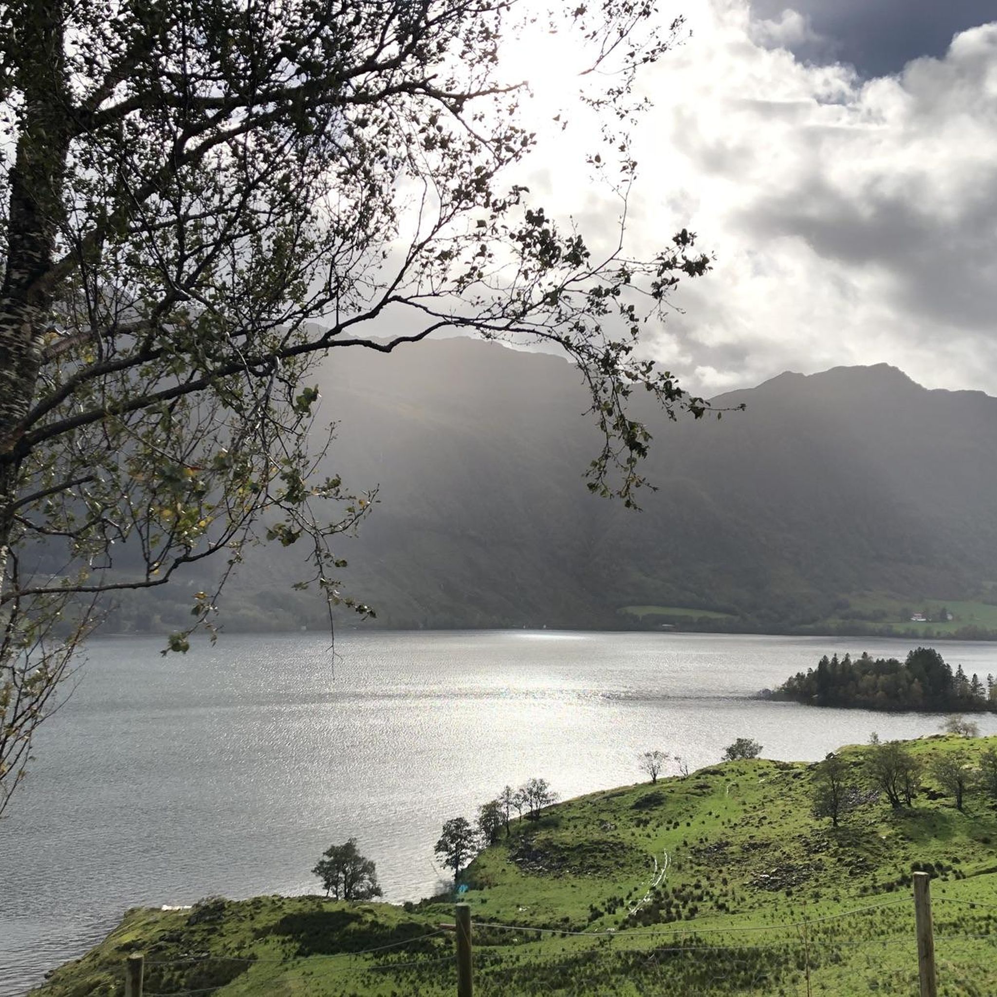
Cyclists can anticipate a blend of stunning natural beauty. Routes offer continuous views of the expansive Stordalsvatnet lake, lush river valleys, and imposing mountain backdrops. The dramatic landscapes, characteristic of Fjord Norway, provide a picturesque setting for your ride.
Are there options for longer or shorter road cycling routes?
Yes, the available routes offer varying lengths. For example, the Øsparehaugen – Hagaskar loop from Frette kapell is approximately 61 km, while the Svartaberglia – Sulia loop from Bjørgjo kraftverk is around 37.6 km, providing options depending on your desired distance and time commitment.
Is it possible to combine road cycling with other outdoor activities in the area?
Absolutely. Stordalsvatnet is a popular spot for other outdoor activities. You could combine your road cycling trip with kayaking on the lake or exploring the diverse hiking trails around the lake, which range from easy walks to moderate ascents and offer panoramic vistas of the surrounding area.
Where can I find parking for road cycling around Stordalsvatnet?
While specific parking locations are not detailed for every route, many routes, such as the Øsparehaugen – Hagaskar loop from Frette kapell, start from accessible points like Frette kapell. It's generally advisable to look for parking near churches, community centers, or designated public parking areas in the villages surrounding the lake.
Most popular routes around Stordalsvatnet

Get inspired with the komoot mobile app


Explore more
Browse the best Road cycling routes in other regions.
