
The best running trails around Stordalsvatnet
34
runners
5
runs
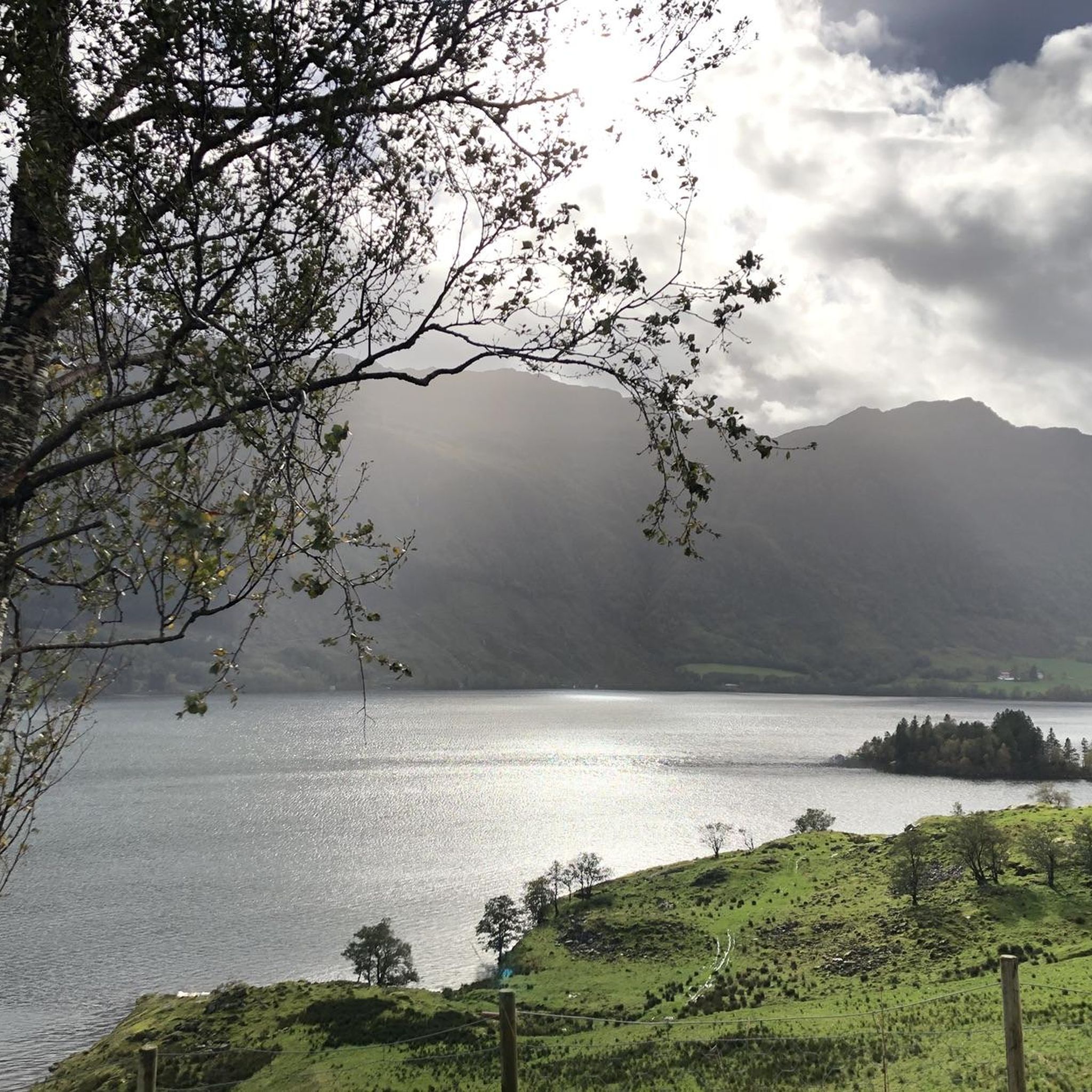
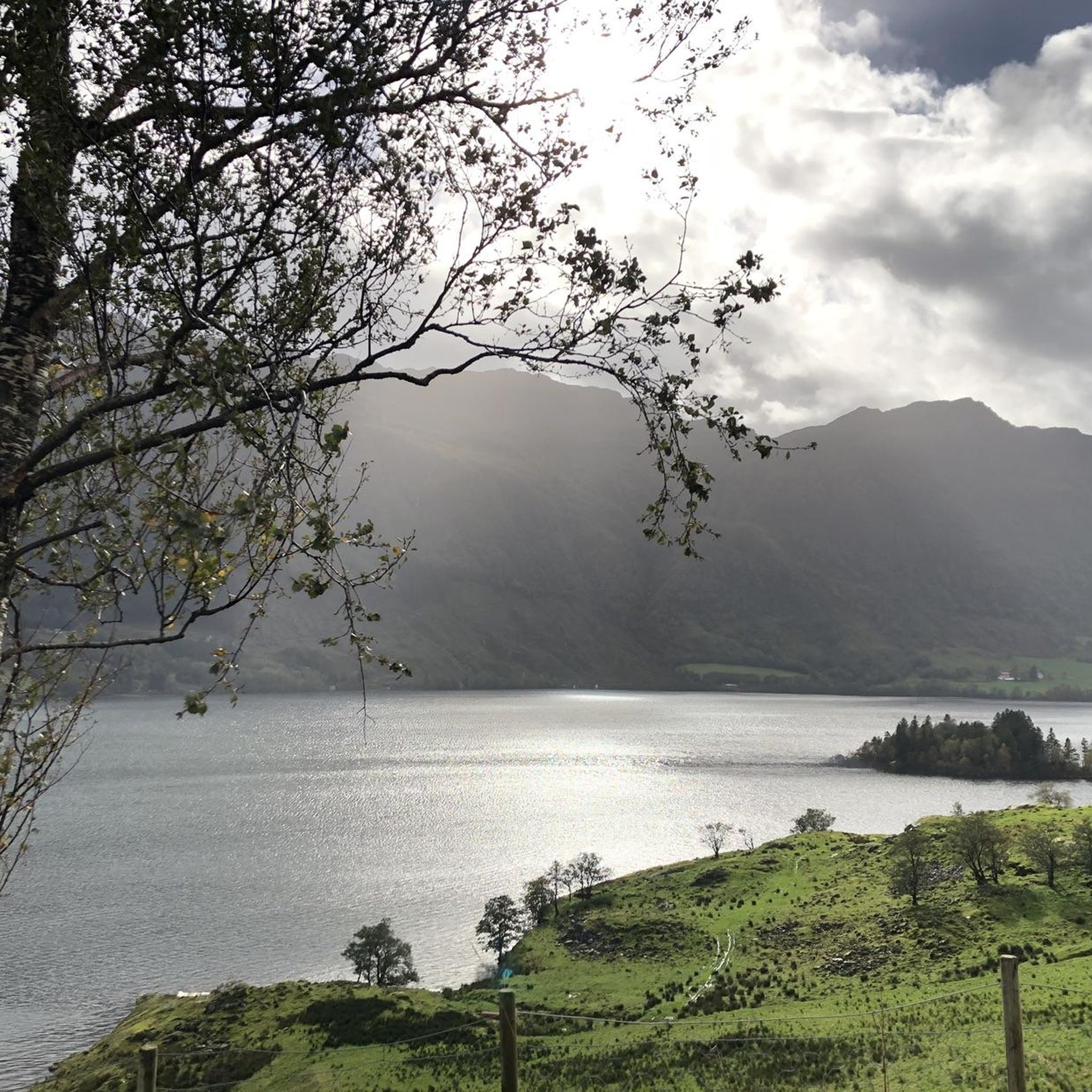
Jogging routes around Stordalsvatnet offer diverse terrain in the municipality of Etne, Vestland, Norway. The region is characterized by the Stordalsvatnet lake, which serves as a central feature with accompanying views. Surrounding mountainous terrain provides varied inclines, while river valleys and historical elements like old stone walls add to the landscape. Paths range from accessible routes along the lake to more challenging ascents into higher elevations.
Best jogging routes around Stordalsvatnet
- The most popular jogging route is Litledalsvatnet loop from…
Last updated: May 14, 2026
5
runners
11.3km
01:11
100m
100m
Moderate run. Good fitness required. Mostly paved surfaces. Suitable for all skill levels.
6
runners
9.98km
01:03
90m
90m
Moderate run. Good fitness required. Mostly paved surfaces. Suitable for all skill levels.

Sign up for free
4
runners
8.58km
01:05
290m
290m
Moderate run. Good fitness required. Mostly paved surfaces. Suitable for all skill levels.
11
runners
5.27km
00:34
70m
70m
Moderate run. Good fitness required. Mostly paved surfaces. Suitable for all skill levels.
4
runners
12.8km
01:22
170m
170m
Moderate run. Good fitness required. Mostly paved surfaces. Suitable for all skill levels.
Our route recommendations are based on thousands of hikes, rides, and runs completed by other people on komoot.
Start today with a free account
Your next adventure awaits.
Login or Signup
Popular around Stordalsvatnet
Frequently Asked Questions
What kind of terrain can I expect on the running trails around Stordalsvatnet?
The running trails around Stordalsvatnet offer a diverse landscape. You'll find tranquil lake shores, invigorating mountainous paths with rewarding panoramic vistas, and serene river valleys. Some routes, like those in the Stordalen Valley, also feature cultural elements such as old stone walls and traces of historic mountain farms.
Are the jogging routes around Stordalsvatnet suitable for beginners?
All five running routes around Stordalsvatnet are rated as moderate. While they offer varied terrain, they are generally accessible. For a slightly shorter option with less elevation gain, consider the Running loop from Etne, which is 5.2 km long with about 70 meters of ascent.
Are there any longer running routes for those seeking a greater challenge?
For runners looking for a longer distance, the Litledalsvatnet loop from Grindheim kyrkje is an excellent choice. This moderate route spans 11.3 km and features over 100 meters of ascent, offering a good endurance test.
What are the typical distances of the running trails in the Stordalsvatnet area?
The running trails around Stordalsvatnet vary in length, ranging from approximately 5.2 km to 11.3 km. This variety allows runners to choose a route that best fits their desired distance and time commitment.
Are there any running routes with significant elevation gain for a more intense workout?
Yes, for a more intense workout with considerable elevation gain, the Running loop from Gjerde kyrkje stands out. This 8.6 km route features over 290 meters of ascent, providing a challenging experience for runners.
Can I find circular running routes around Stordalsvatnet?
Yes, all the running routes available in this guide are circular loops, designed to bring you back to your starting point. This includes popular options like the Running loop from Stødle kyrkje, which offers a varied landscape over 10 km.
What are some scenic viewpoints or landmarks I might encounter while running?
While running around Stordalsvatnet, you'll be treated to picturesque lake views. The surrounding mountainous terrain offers opportunities for panoramic vistas, such as those mentioned for the 'Melanakken Trail – Mælanakken Viewpoint loop from Åfjord' in the region research. The Stordalen Valley also presents cultural elements like old stone walls.
Is Stordalsvatnet a popular destination for runners?
Yes, Stordalsvatnet is a well-regarded spot for outdoor activities, including running. Over 30 runners have used komoot to explore the varied terrain, indicating its popularity among the running community.
Are there options for parking near the running trailheads?
The region's accessibility is enhanced by roads often running along the perimeter of Stordalsvatnet, which typically provides access to various starting points. Specific parking information for each trailhead would be available on the individual route pages.
What is the best time of year to go running around Stordalsvatnet?
The Stordalsvatnet area is generally suitable for running across multiple seasons. However, the region research notes that some areas, particularly the eastern part of one loop, might present challenges like muddy sections due to swampland and livestock. It's always advisable to check local conditions before heading out, especially during wetter periods.
Are there any shorter, less demanding running loops available?
Yes, for a shorter and less demanding run, the Running loop from Gjerde kyrkje is a great option. This route is approximately 5.3 km long with about 68 meters of elevation gain, making it suitable for a quicker jog.
Most popular routes around Stordalsvatnet

Get inspired with the komoot mobile app


Explore more
Browse the best Running Trails & Routes in other regions.
