The best walks and hikes around Stordalsvatnet
4.3
(59)
223
hikers
10
hikes
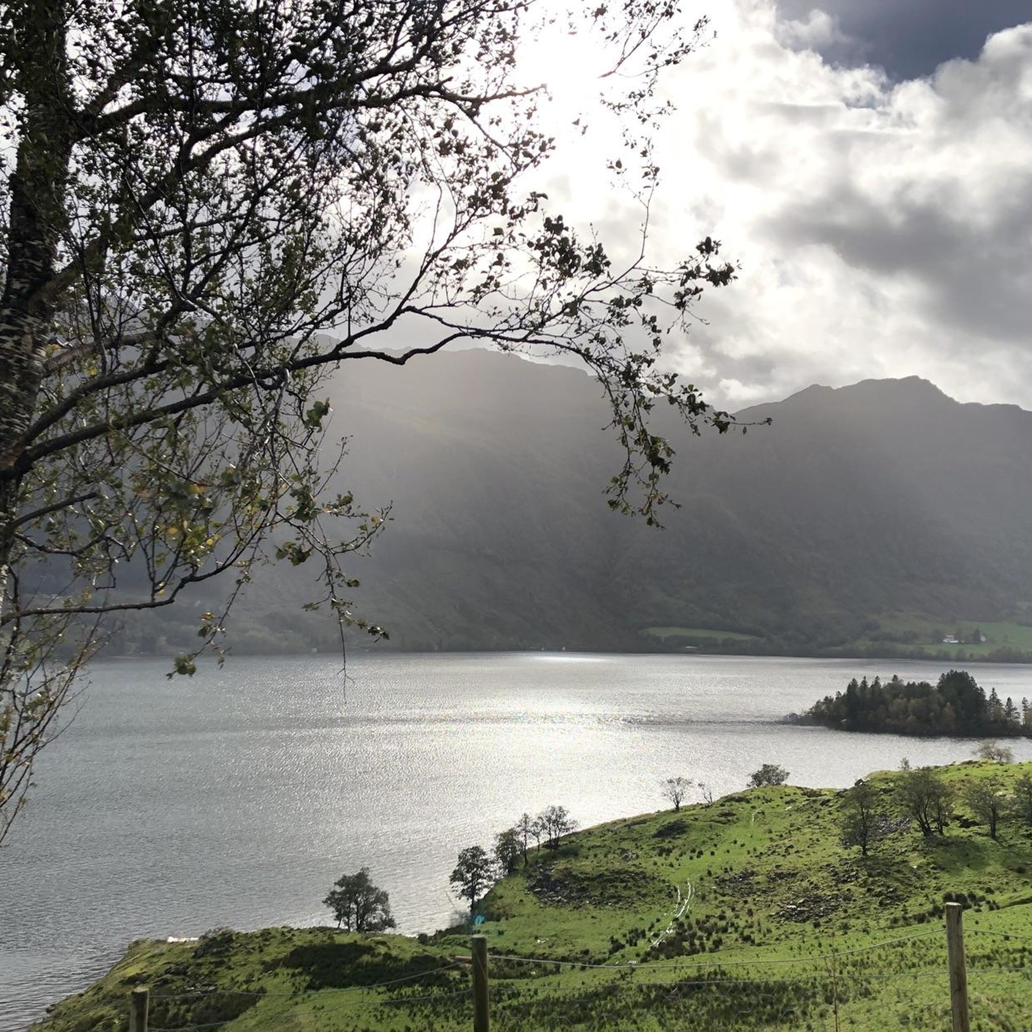
Hiking around Stordalsvatnet offers diverse landscapes characterized by the expansive lake, flanked by mountainous terrain and winding river valleys. The Stordalselva river feeds the lake, contributing to a varied natural environment. These features collectively create a scenic backdrop for outdoor activities, with surrounding mountains providing panoramic views. The region features a network of trails suitable for various ability levels.
Best hiking trails around Stordalsvatnet
- The most popular hiking route is Furuberget – Hellauglia loop from Frette kapell, a 7.7…
Last updated: May 13, 2026
3.0
(1)
6
hikers
12.4km
04:21
620m
630m
Moderate hike. Good fitness required. Easily-accessible paths. Suitable for all skill levels.
4.0
(1)
7
hikers
8.73km
02:32
240m
240m
Moderate hike. Good fitness required. Easily-accessible paths. Suitable for all skill levels.

Sign up for free
4.8
(13)
35
hikers
6.83km
01:56
150m
140m
Easy hike. Great for any fitness level. Easily-accessible paths. Suitable for all skill levels.
4.9
(8)
22
hikers
9.20km
02:40
230m
220m
Moderate hike. Good fitness required. Mostly accessible paths. Sure-footedness required.
16
hikers
7.77km
02:48
470m
470m
Moderate hike. Good fitness required. Easily-accessible paths. Suitable for all skill levels.
Get access to more routes and recommendations from other explorers.
Sign up for free
Already have an account?
Our route recommendations are based on thousands of hikes, rides, and runs completed by other people on komoot.
Start today with a free account
Your next adventure awaits.
Login or Signup
Popular around Stordalsvatnet

Tips from the Community

Tucked high in the Etne mountains, Blomstølen is a charming no-service cabin managed by the Haugesund Turistforening. The hike from Øyno Farm in Stordalen Valley offers a gentle but scenic ascent, passing old stone walls, meadows, and traces of historic mountain farms. Whether you're on foot or bike, the trail rewards your effort with expansive views from the Bjødnanuten summit and a peaceful overnight stay in nature.
0
0
Here, we can see the river rushing down from the mountain toward the lake, forming small waterfalls.
0
0

Parking is only available with VIPPS and costs NOK 50. The eastern part of the loop runs through swampland and is partially trampled by livestock (sheep and cows). Extremely muddy and not recommended.
0
0

Overnight accommodation in a dreamlike environment.
0
0

Parking 40 Kr, you can buy a card for fishing here
0
1

The parking bay is delimited by a pasture fence with a gate. there is seating behind it. From this point you have a great view of the Akrafjord.
2
0

Mountain lake in the Indre Etnefjellet, which can be reached from Kritle (car park) in about 5 km. The DNT hut Løkjelsvatnhytta is right here.
0
0
Unmanned mountain hut of the DNT with provisions storage. Beds can be reserved online. The hut is located by Lake Løkjelsvatn and has about a boat that you can use.
1
0
Frequently Asked Questions
What kind of terrain can I expect when hiking around Stordalsvatnet?
The hiking trails around Stordalsvatnet offer diverse landscapes, characterized by the expansive lake itself, flanked by mountainous terrain and winding river valleys. You'll find a mix of lake views, forest paths, and ascents that provide panoramic vistas of the surrounding area.
Are there easy hiking trails suitable for beginners or casual walkers?
Yes, Stordalsvatnet offers trails suitable for various skill levels. While most routes are moderate, there are options for easier strolls. For example, the View of the Valley – Jørnåsvatnet Lake loop from Nedre Sævareid is a moderate trail that can be completed in about 2 hours, offering a less strenuous option through river valleys and past the lake.
What do other hikers enjoy most about the trails in Stordalsvatnet?
The area is highly rated by the komoot community, with an average score of 4.2 stars from over 40 reviews. Hikers often praise the varied terrain, the scenic lake views, and the opportunity to explore both mountainous areas and tranquil river valleys.
Are there any circular hiking routes around Stordalsvatnet?
Yes, many of the trails around Stordalsvatnet are designed as loops, allowing you to start and end at the same point. Examples include the popular Furuberget – Hellauglia loop from Frette kapell, which is a 7.7-mile route, and the Nystølshaugen – Lemhaugen loop from Nedre Sævareid.
Can I bring my dog on the hiking trails around Stordalsvatnet?
Generally, dogs are welcome on hiking trails in Norway, but it's important to keep them on a leash, especially during the bird nesting season (April 1 to August 20) and in areas with grazing livestock. Always ensure your dog is under control and clean up after them.
What is the best time of year to go hiking in Stordalsvatnet?
The best time for hiking around Stordalsvatnet is typically from late spring through early autumn (May to September) when the weather is milder and trails are clear of snow. During these months, you'll experience lush landscapes and comfortable temperatures for outdoor activities. Winter hiking is possible but requires appropriate gear and awareness of snow and ice conditions.
Are there any viewpoints or landmarks to look out for on the trails?
The mountainous surroundings of Stordalsvatnet offer numerous opportunities for panoramic views. Many trails lead to elevated points that provide stunning vistas of the lake and the surrounding valleys. The Ospeberget – Blomstølen Cabin loop from Øyna, for instance, features significant climbs that reward hikers with expansive views.
How many hiking routes are available in the Stordalsvatnet area?
There are around 10 hiking routes documented in the Stordalsvatnet area on komoot, offering a good variety for different preferences and fitness levels. These include 2 easy and 8 moderate trails.
Is there public transport available to reach the hiking areas around Stordalsvatnet?
While specific public transport options directly to every trailhead might be limited, roads often run along the lake's perimeter, enhancing accessibility. It's advisable to check local bus schedules for routes connecting to towns like Etne or Åfjord, from where you might need to arrange further transport to specific starting points.
Are there opportunities for other outdoor activities besides hiking at Stordalsvatnet?
Yes, Stordalsvatnet is popular for other outdoor pursuits. The lake provides excellent opportunities for kayaking, with rentals often available. It's also a well-regarded fishing lake, known for trout, sea trout, salmon, Arctic char, and eel, though fishing licenses are required.
Where can I find parking for the hiking trails?
Many trailheads around Stordalsvatnet, especially those starting from villages like Frette kapell, Nedre Sævareid, or Åfjord, typically have designated parking areas. Due to the accessibility provided by roads along the lake, finding parking close to popular starting points is generally feasible.
What is the typical duration of hikes around Stordalsvatnet?
The duration of hikes varies depending on the route's length and difficulty. For example, the Jørnåsvatnet Lake – Løkjelsvatn Lake loop from Nedre Sævareid is a moderate 5.7-mile trail that typically takes around 2 hours and 40 minutes to complete, while longer routes can take over 4 hours.

Get inspired with the komoot mobile app


Explore more
Browse the best Hikes in other regions.
