The best MTB trails around Setesdal Vesthei - Ryfylkeheiane landskapsvernområde
4.5
(2)
46
riders
8
rides
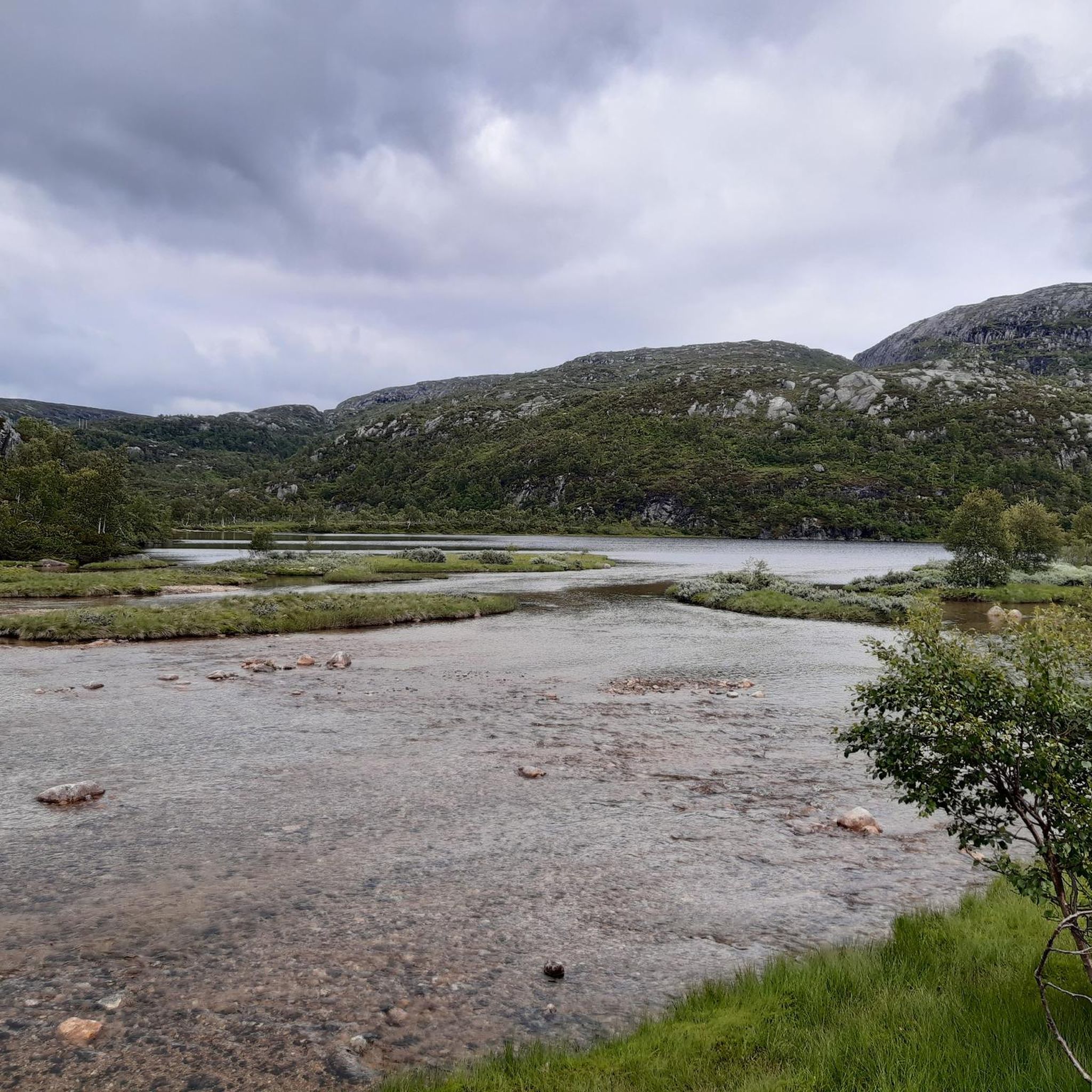
Mountain bike trails around Setesdal Vesthei - Ryfylkeheiane landskapsvernområde traverse a vast and diverse natural landscape, characterized by barren, treeless highlands that form the natural "roof" of southern Norway. The region features mountainous terrain with numerous peaks, rocky plateaus, and interspersed lakes and rivers. Mountain biking here involves technical riding, rocky sections, and steep ascents, offering varied experiences across its extensive trail networks.
Best mountain bike trails in Setesdal Vesthei - Ryfylkeheiane landskapsvernområde
- The most popular mountain bike trail is Cycle Path to Holmavatn – View of Blåsjø Lake loop from Ådneram Fjellgrend, a 24.1 miles (38.7 km) trail that takes 2 hours 38 minutes to complete. This route offers views of Blåsjø Lake.
- Another top favourite among local mountain bikers is Flatastøylfossen – Gjuvet loop from Hovden kapell, a difficult 18.1 miles (29.1 km) path. This trail features a considerable elevation gain through rugged terrain.
- Local mountain bikers also love the Ljosland Chapel – Kyrkjebygda Church loop from Bortelid, a 38.9 miles (62.6 km) trail leading through varied landscapes, often completed in about 4 hours 10 minutes.
- Mountain biking around Setesdal Vesthei - Ryfylkeheiane landskapsvernområde is defined by mountainous terrain, rocky plateaus, and numerous lakes. The network offers options for different ability levels, from easy rides to challenging, technical trails.
- The routes in Setesdal Vesthei - Ryfylkeheiane landskapsvernområde are highly rated by the komoot community with an average score of 4.5 stars. Nearly 50 mountain bikers have used komoot to explore Setesdal Vesthei - Ryfylkeheiane landskapsvernområde's varied terrain.
Last updated: July 10, 2026
5.0
(1)
7
riders
Moderate mountain bike ride. Good fitness required. Suitable for all skill levels.
5
riders
28.8km
02:50
700m
700m
Hard mountain bike ride. Good fitness required. Advanced riding skills necessary. Some portions of the route may require you to push your bike.

Sign up for free
4
riders
62.8km
04:09
760m
760m
Moderate mountain bike ride. Good fitness required. Suitable for all skill levels.
4
riders
16.3km
01:13
190m
190m
Easy mountain bike ride. Great for any fitness level. Suitable for all skill levels.
3
riders
15.8km
01:58
530m
530m
Moderate mountain bike ride. Good fitness required. Advanced riding skills necessary.
Get access to more routes and recommendations from other explorers.
Sign up for free
Already have an account?
Our route recommendations are based on thousands of hikes, rides, and runs completed by other people on komoot.
Start today with a free account
Your next adventure awaits.
Login or Signup
Popular around Setesdal Vesthei - Ryfylkeheiane landskapsvernområde
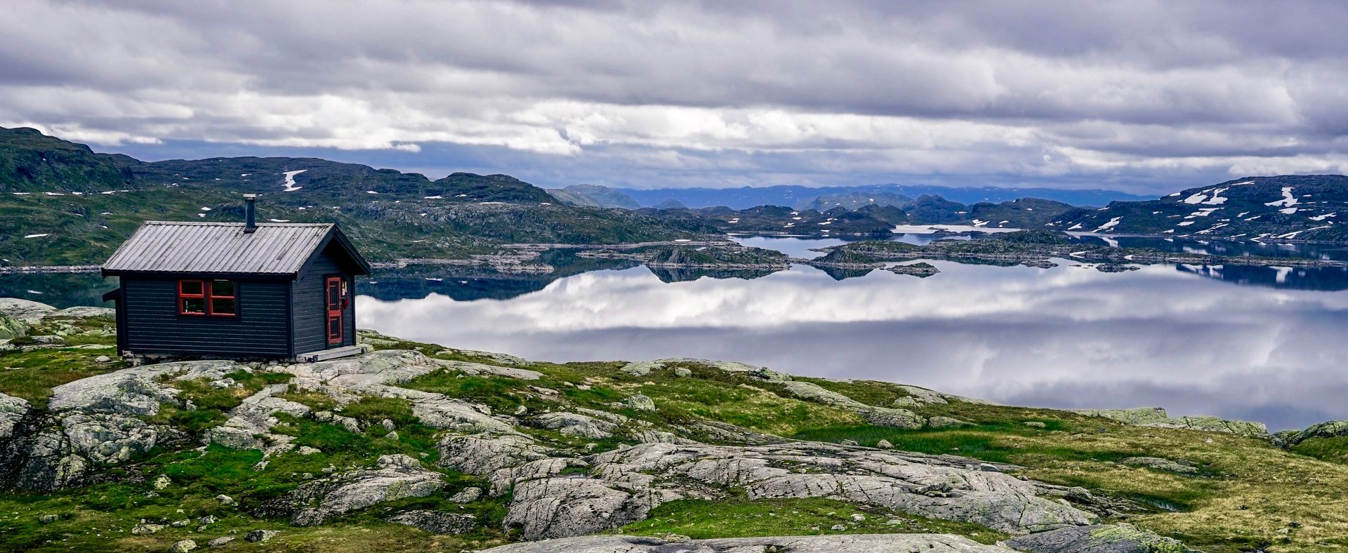
150 km in the Wilderness of Norway
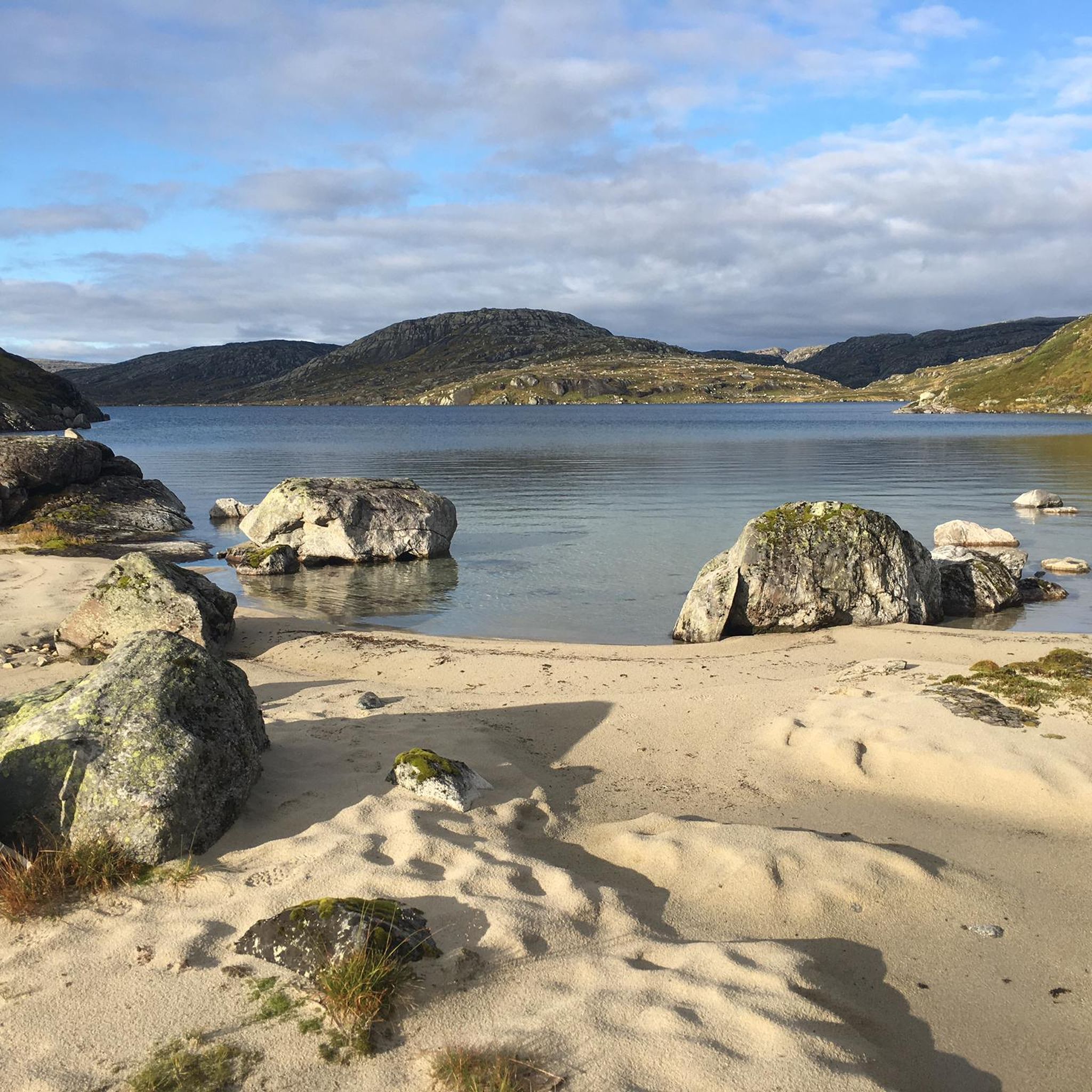
Hiking around Setesdal Vesthei - Ryfylkeheiane landskapsvernområde
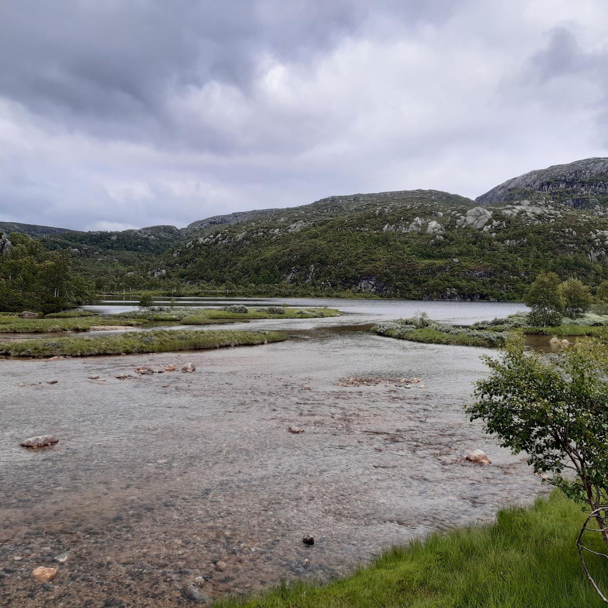
Road Cycling Routes around Setesdal Vesthei - Ryfylkeheiane landskapsvernområde
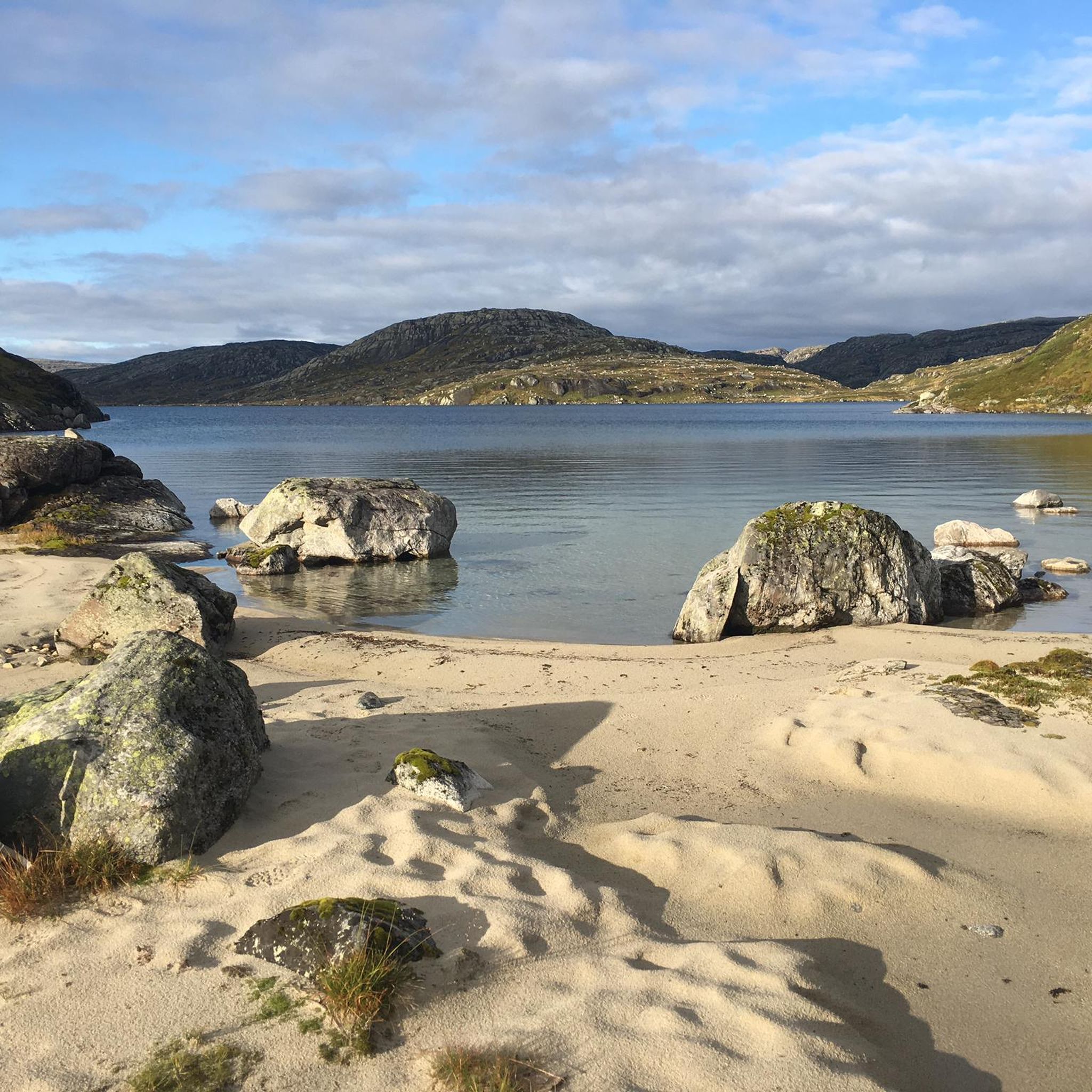
Cycling around Setesdal Vesthei - Ryfylkeheiane landskapsvernområde
Running Trails around Setesdal Vesthei - Ryfylkeheiane landskapsvernområde
Other adventures around Setesdal Vesthei - Ryfylkeheiane landskapsvernområde

Tips from the Community


With the gradient, the water keeps looking for enchanting little waterfalls. The view down valley over the ridges is impressive.
2
0
The first place after about 30 kilometers that offers everything - especially a supermarket!
2
0
One of the many 🐑 in the landscape - not best positioned on the road.
1
0
Frequently Asked Questions
What kind of terrain can I expect when mountain biking in Setesdal Vesthei - Ryfylkeheiane landskapsvernområde?
The region offers a diverse and challenging landscape for mountain biking. You'll encounter barren, treeless highlands, rocky plateaus, and mountainous terrain with numerous peaks. Trails often feature technical riding, rocky sections, and steep ascents, providing a varied experience across its extensive network.
How many mountain bike trails are there in Setesdal Vesthei - Ryfylkeheiane landskapsvernområde?
There are 9 mountain bike trails available in Setesdal Vesthei - Ryfylkeheiane landskapsvernområde, catering to various skill levels from easy to difficult.
Are there any easy mountain bike trails suitable for beginners or families?
Yes, there is at least one easy trail. The Flatastøylfossen – Lii loop from Hovden Hyttegrend is a 16.3 km ride with minimal elevation gain, making it a good option for those seeking a less challenging experience.
What are some challenging mountain bike trails for experienced riders?
For experienced riders seeking a challenge, the Flatastøylfossen – Gjuvet loop from Hovden kapell is a difficult 29.1 km path featuring considerable elevation gain through rugged terrain. Another option is the Storenos – Downhill Trail loop from Hovden kapell, a moderate-to-difficult 15.8 km route with significant elevation changes.
Are there any circular mountain bike routes in the area?
Yes, many of the trails are designed as loops. For example, the popular Cycle Path to Holmavatn – View of Blåsjø Lake loop from Ådneram Fjellgrend is a 38.7 km circular route, and the Ljosland Chapel – Kyrkjebygda Church loop from Bortelid is a longer 62.6 km loop.
What natural attractions or viewpoints can I see along the mountain bike trails?
The region is rich in natural beauty. You can find stunning panoramic viewpoints like Svarvarnuten Summit, or enjoy the serene Island Chain in Setesdal Vesthei Ryfylkeheiane Landscape Protection Area. Some routes, like the Cycle Path to Holmavatn, offer views of Blåsjø Lake. You can also explore mountain passes such as Stavbrokka Pass.
What is the best time of year to go mountain biking in Setesdal Vesthei - Ryfylkeheiane landskapsvernområde?
The best time for mountain biking is typically during the warmer months when the trails are free of snow and ice. The region is characterized by barren highlands, so conditions can change rapidly. Always check local weather and trail conditions before heading out.
Are there any places to stay or eat near the mountain bike trails?
While the region is a vast wilderness, there are mountain cabins available for multi-day tours, such as Bossbu Cabin by Botnsvatnet or Kringlevatn Cabin. For more comprehensive amenities like cafes and accommodation, you would typically find these in nearby villages or towns surrounding the nature reserve.
What do other mountain bikers enjoy the most about mountain biking in Setesdal Vesthei - Ryfylkeheiane landskapsvernområde?
The area is highly rated by the komoot community, with an average score of 4.5 stars. Reviewers often praise the vast, unspoiled nature, the challenging and varied terrain, and the breathtaking views from the mountainous plateaus.
Is it possible to reach the mountain biking areas using public transport?
Access to the more remote parts of Setesdal Vesthei - Ryfylkeheiane landskapsvernområde can be challenging with public transport due to its wilderness character. It's advisable to research specific routes and their starting points to determine the best access options, which often involve personal vehicles or local shuttle services to trailheads.
Are there any specific safety considerations for mountain biking in this region?
Given the region's wild and mountainous nature, it's important to be prepared. Trails can feature rocky sections and exposed areas. Always carry appropriate gear, sufficient water and food, and be aware of rapidly changing weather conditions. Some sections may also have snowfields or muddy passages, even in summer. Inform someone of your route and expected return time.
Most popular routes around Setesdal Vesthei - Ryfylkeheiane landskapsvernområde
Most popular attractions around Setesdal Vesthei - Ryfylkeheiane landskapsvernområde

Get inspired with the komoot mobile app


Explore more
Browse the best MTB trails in other regions.
