The best running trails around Setesdal Vesthei - Ryfylkeheiane landskapsvernområde
3.7
(22)
417
runners
39
runs
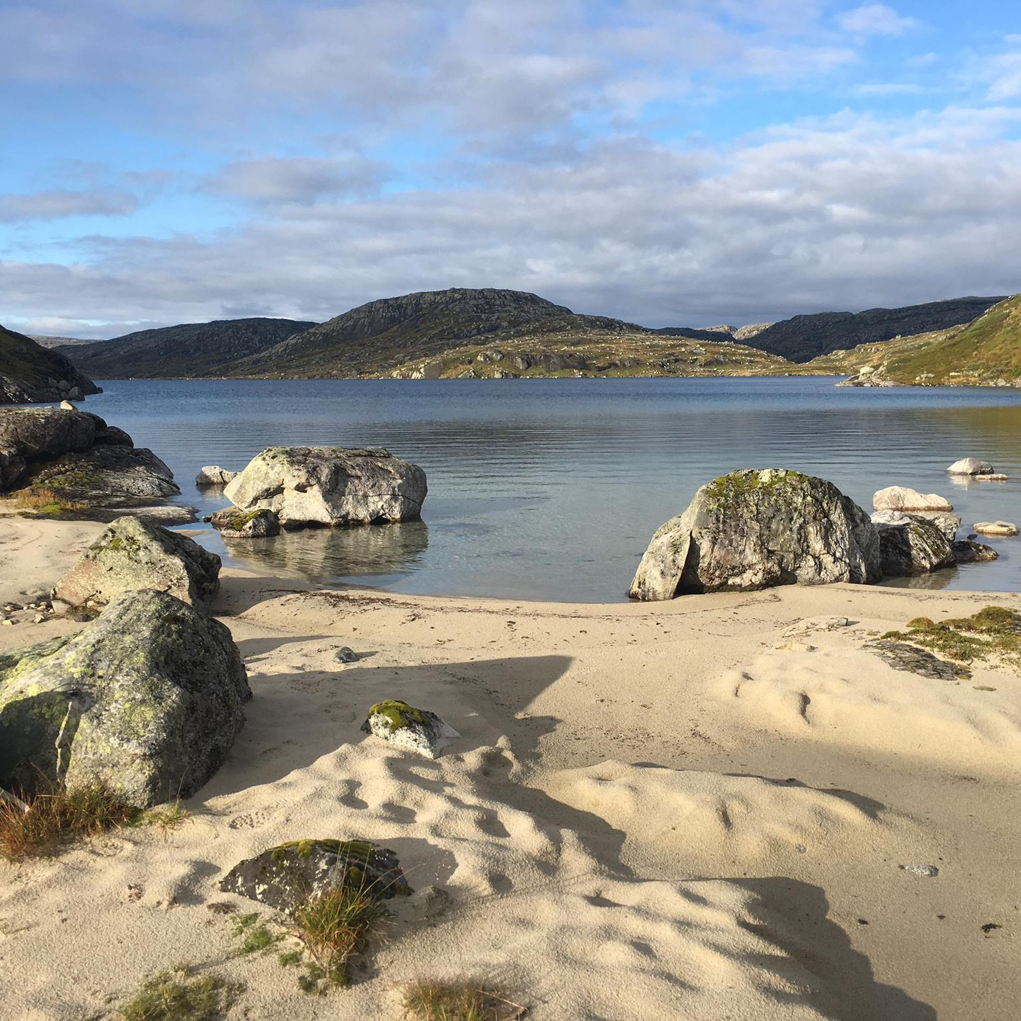
Jogging routes around Setesdal Vesthei - Ryfylkeheiane landskapsvernområde traverse Norway's second-largest protected area, offering a diverse range of landscapes. The region features undulating hills with birch thickets and numerous small lakes in the south, transitioning to higher mountains, fertile valleys, and heathlands further north. Elevations range from 800 meters to over 1600 meters, with smooth rock formations, moraine ridges, and large boulders characterizing the higher terrain. The western Ryfylke side presents dramatic gorges and fjords, providing varied running environments.
Best…
Last updated: July 10, 2026
8
runners
4.86km
00:49
290m
290m
Hard run. Good fitness required. Sure-footedness, sturdy shoes and alpine experience required.
15
runners
4.89km
00:32
90m
90m
Easy run. Great for any fitness level. Mostly paved surfaces. Suitable for all skill levels.

Sign up for free
12
runners
12.7km
01:20
100m
100m
Moderate run. Good fitness required. Mostly paved surfaces. Suitable for all skill levels.
14
runners
12.3km
01:28
270m
270m
Moderate run. Good fitness required. Mostly paved surfaces. Suitable for all skill levels.
10
runners
14.3km
01:54
520m
520m
Hard run. Very good fitness required. Mostly accessible paths. Some sure footedness required.
Get access to more routes and recommendations from other explorers.
Sign up for free
Already have an account?
Our route recommendations are based on thousands of hikes, rides, and runs completed by other people on komoot.
Start today with a free account
Your next adventure awaits.
Login or Signup
Popular around Setesdal Vesthei - Ryfylkeheiane landskapsvernområde
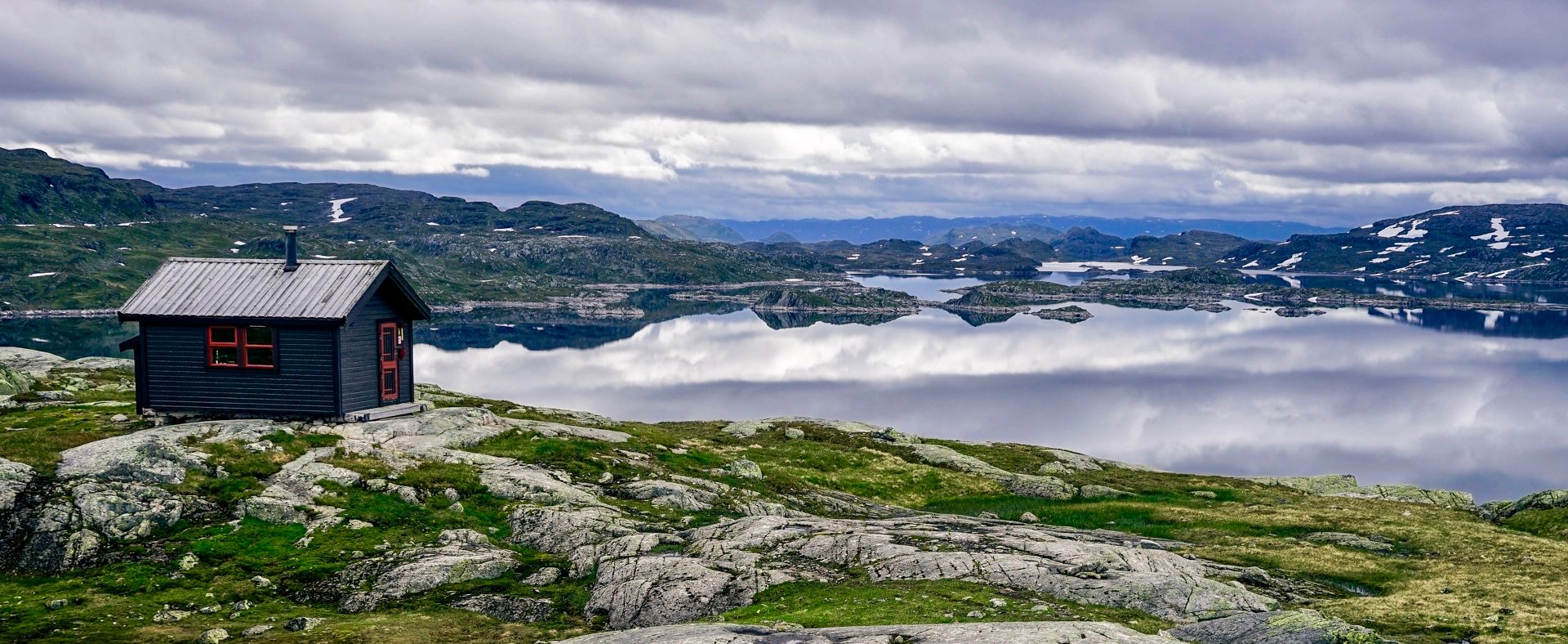
150 km in the Wilderness of Norway
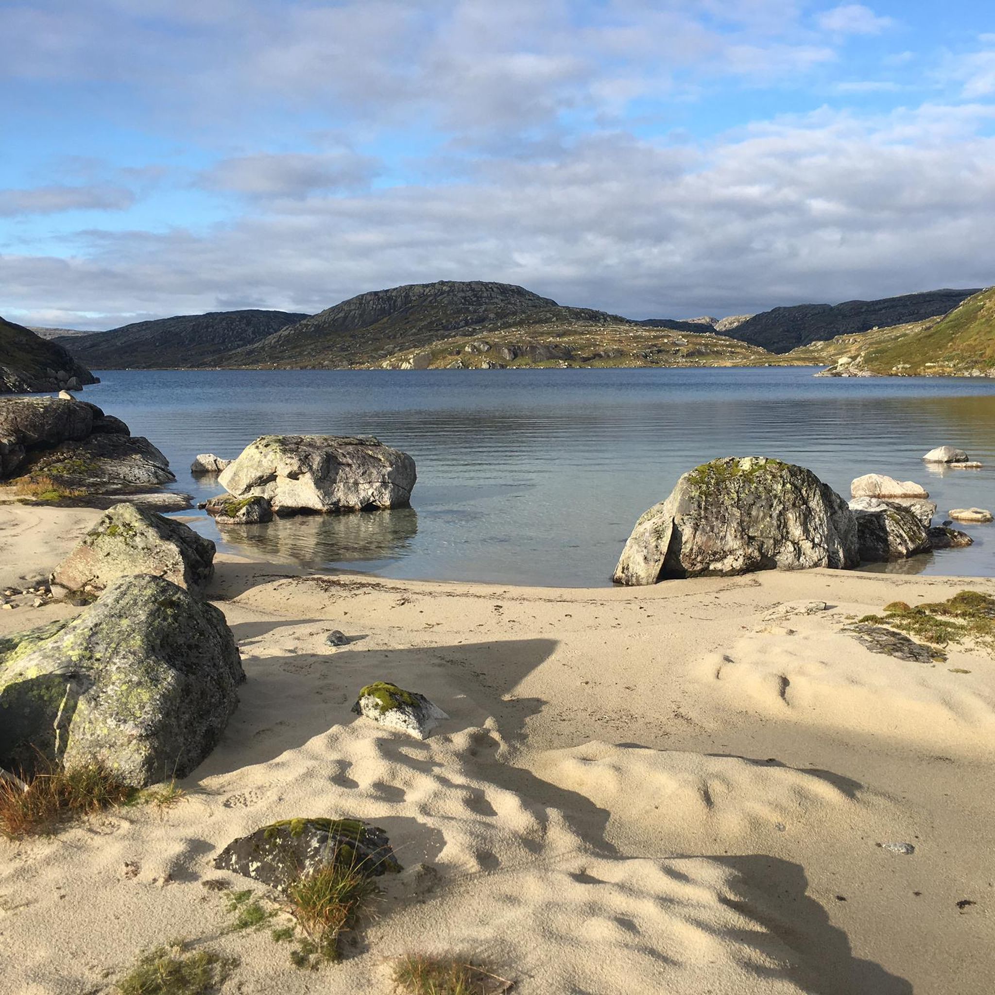
Hiking around Setesdal Vesthei - Ryfylkeheiane landskapsvernområde
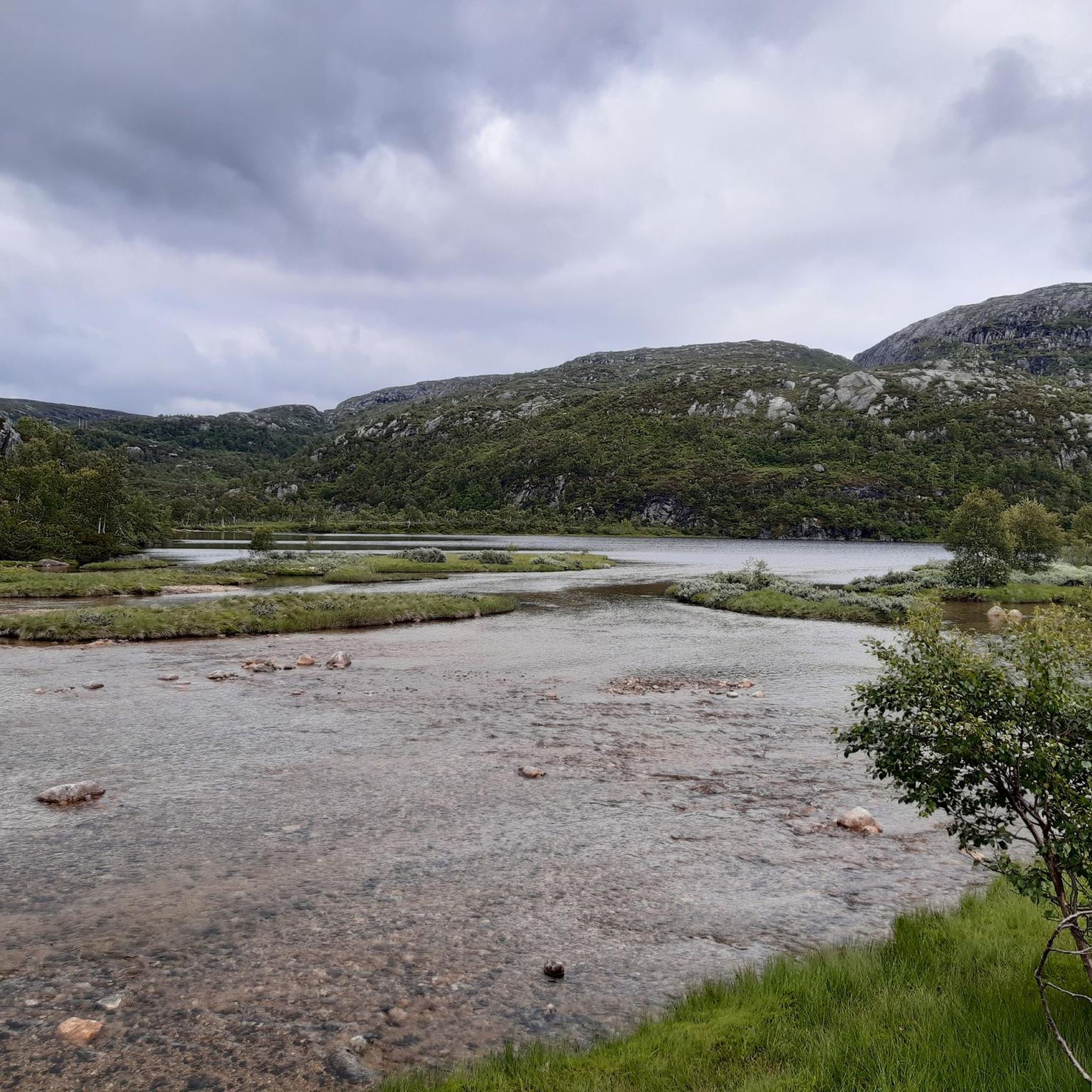
Road Cycling Routes around Setesdal Vesthei - Ryfylkeheiane landskapsvernområde
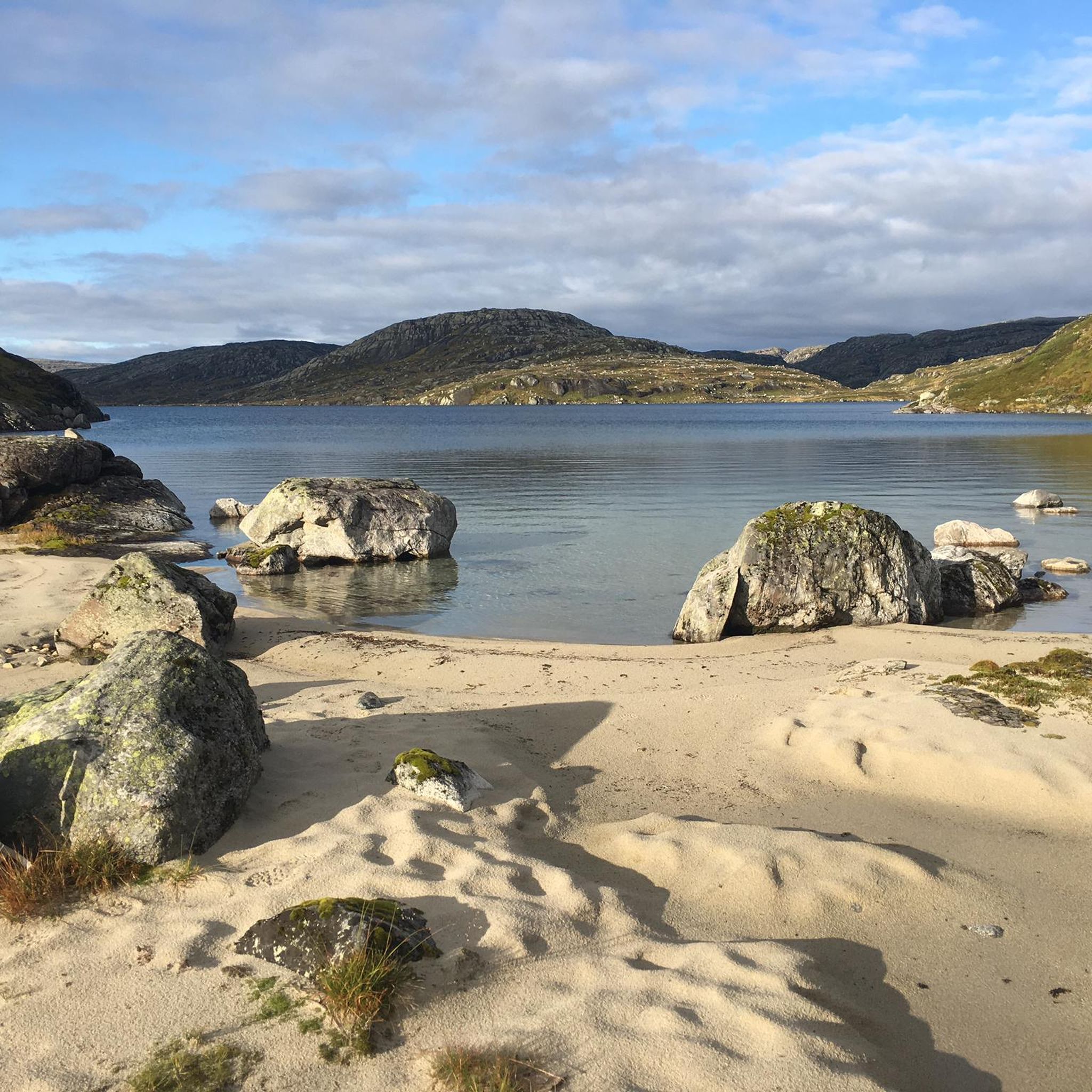
Cycling around Setesdal Vesthei - Ryfylkeheiane landskapsvernområde
MTB Trails around Setesdal Vesthei - Ryfylkeheiane landskapsvernområde
Other adventures around Setesdal Vesthei - Ryfylkeheiane landskapsvernområde

Frequently Asked Questions
What kind of terrain can I expect on the running routes in Setesdal Vesthei - Ryfylkeheiane?
The region offers a highly varied and spectacular terrain. In the south, you'll find undulating hills with birch thickets and thousands of small ponds and lakes. Moving north, the landscape rises above the treeline, featuring fertile valleys, heathlands, and knolls. The highest areas are rougher, with smooth rock formations, moraine ridges, and large boulders. The western Ryfylke side also presents dramatic gorges and fjords, offering stunning views.
Are there running routes suitable for beginners in the area?
Yes, Setesdal Vesthei - Ryfylkeheiane offers options for various ability levels. For beginners, there are 3 easy routes available. A great option is the Flatastøylfossen loop from Hovden kapell, an easy 3.0 miles (4.9 km) path that offers views of Flatastøylfossen with a moderate elevation change.
What are some challenging running trails for experienced runners?
For experienced runners seeking a challenge, there are 16 difficult routes in the area. The Hovdenuten loop from Hovden kapell is a popular choice, a 3.0 miles (4.9 km) trail with a significant elevation gain of 943 feet (287 meters). Another demanding option is the Stemtjønnutane – Stølskardnuten loop from Hovden kapell, which covers 14.8 km with over 500 meters of elevation gain.
Are there any circular running routes available?
Many of the running routes in Setesdal Vesthei - Ryfylkeheiane are designed as loops, offering a great way to explore without retracing your steps. Examples include the Bergi – Haugen loop from Hovden kapell, a 8.9 miles (14.4 km) trail, and the Byrtemannsbekken loop from Hovden, which is 12.7 km long.
What natural attractions or landmarks can I see while running in the region?
The area is rich in natural beauty. You can encounter stunning viewpoints like the Stavbrokka Pass, which offers steep climbs and breathtaking valley views. There are also numerous lakes, including an Island Chain in Setesdal Vesthei Ryfylkeheiane Landscape Protection Area, and the View of Lake Rennevatnet. The landscape itself, with its smooth rock formations and moraine ridges, is a highlight.
What is the best time of year for running in Setesdal Vesthei - Ryfylkeheiane?
The best time for running generally depends on the elevation. While lower areas might be accessible earlier, snow patches often persist through summer on the highest peaks (1400-1600 meters). Summer and early autumn typically offer the most favorable conditions, with extensive marked trails available for use.
Is Setesdal Vesthei - Ryfylkeheiane suitable for family-friendly running outings?
Yes, the diverse terrain includes easier paths that can be suitable for families. The southern parts of the area, with their gentle, undulating hills and birch thickets, might offer more accessible and less strenuous options for family runs. Look for routes marked as 'easy' for the most suitable experiences.
Are dogs allowed on the running trails in Setesdal Vesthei - Ryfylkeheiane?
The Setesdal Vesthei - Ryfylkeheiane Landscape Protection Area is a natural habitat for wildlife, including the southernmost wild reindeer population in Europe. While specific dog rules can vary, it's generally important to keep dogs on a leash, especially during nesting seasons for birds and when wildlife is present, to protect the local fauna. Always check local regulations before heading out.
How accessible are the trailheads by public transport or car?
Key entry points to the protected area include Knaben in Kvinesdal, Ådneram, Suleskarveien, and Hunnedalen in Sirdal. Roads like Fv45 (Suleskarvegen) provide car access to different parts of the area. Ferries to Lysebotn also offer access to the western Ryfylke side. While public transport options might be limited to certain entry points, car access is generally good.
What makes the running experience in Setesdal Vesthei - Ryfylkeheiane unique?
Runners often praise the immense size and varied, wild landscapes of the Setesdal Vesthei - Ryfylkeheiane. The transition from gentle hills and birch thickets to rugged, higher mountains, combined with thousands of lakes and dramatic fjord views, creates a truly unique and inspiring backdrop for running. The extensive network of marked trails and the presence of tourist huts also facilitate exploration of this vast protected area.
Are there any huts or shelters along the running routes?
Yes, the area is well-equipped with tourist huts ('hytter') maintained by Stavanger and Kristiansand tourist associations. These huts facilitate multi-day excursions and can provide shelter or accommodation along longer routes. Examples include Bossbu Cabin by Botnsvatnet, Kringlevatn Cabin, and Storsteinen cabin.
Most popular routes around Setesdal Vesthei - Ryfylkeheiane landskapsvernområde
Most popular attractions around Setesdal Vesthei - Ryfylkeheiane landskapsvernområde

Get inspired with the komoot mobile app


Explore more
Browse the best Running Trails & Routes in other regions.
