Easy hikes and walks in Mürzer Oberland
4.7
(1805)
12,508
hikers
158
hikes
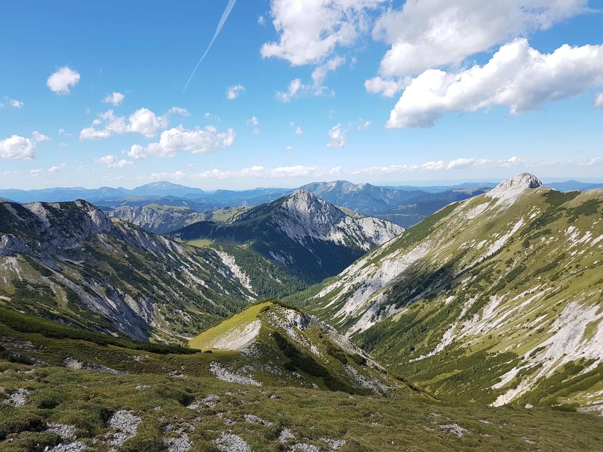
Easy hiking trails in Mürzer Oberland traverse a landscape characterized by dramatic alpine scenery, extensive forests, and deep river valleys carved by the Mürz river. The region is framed by the peaks of the Rax, Schneealpe, and Hohe Veitsch, which reach approximately 2,000 meters in height. Hikers will find a captivating blend of vast forests, rolling alpine meadows, and striking limestone mountains, including the expansive Schneealm plateau. This diverse terrain offers a variety of easy paths suitable for all levels.
…Last updated: October 3, 2026
4.7
(39)
317
hikers
Easy hike. Great for any fitness level. Easily-accessible paths. Suitable for all skill levels.
4.7
(13)
135
hikers
Easy hike. Great for any fitness level. Easily-accessible paths. Suitable for all skill levels.

5.0
(4)
19
hikers
3.74km
01:24
250m
250m
Easy hike. Great for any fitness level. Easily-accessible paths. Suitable for all skill levels.
4.5
(4)
24
hikers
5.93km
01:49
210m
210m
Easy hike. Great for any fitness level. Easily-accessible paths. Suitable for all skill levels.
5.0
(6)
10
hikers
Easy hike. Great for any fitness level. Easily-accessible paths. Suitable for all skill levels.
Get access to more routes and recommendations from other explorers.
Already have an account?
Our route recommendations are based on thousands of hikes, rides, and runs completed by other people on komoot.
Start today with a free account
Your next adventure awaits.
Popular around Mürzer Oberland

North Alpine Trail 01 – Hike across Austria in 49 days

Viennese Alpenbogen – Lower Austria's most beautiful peaks
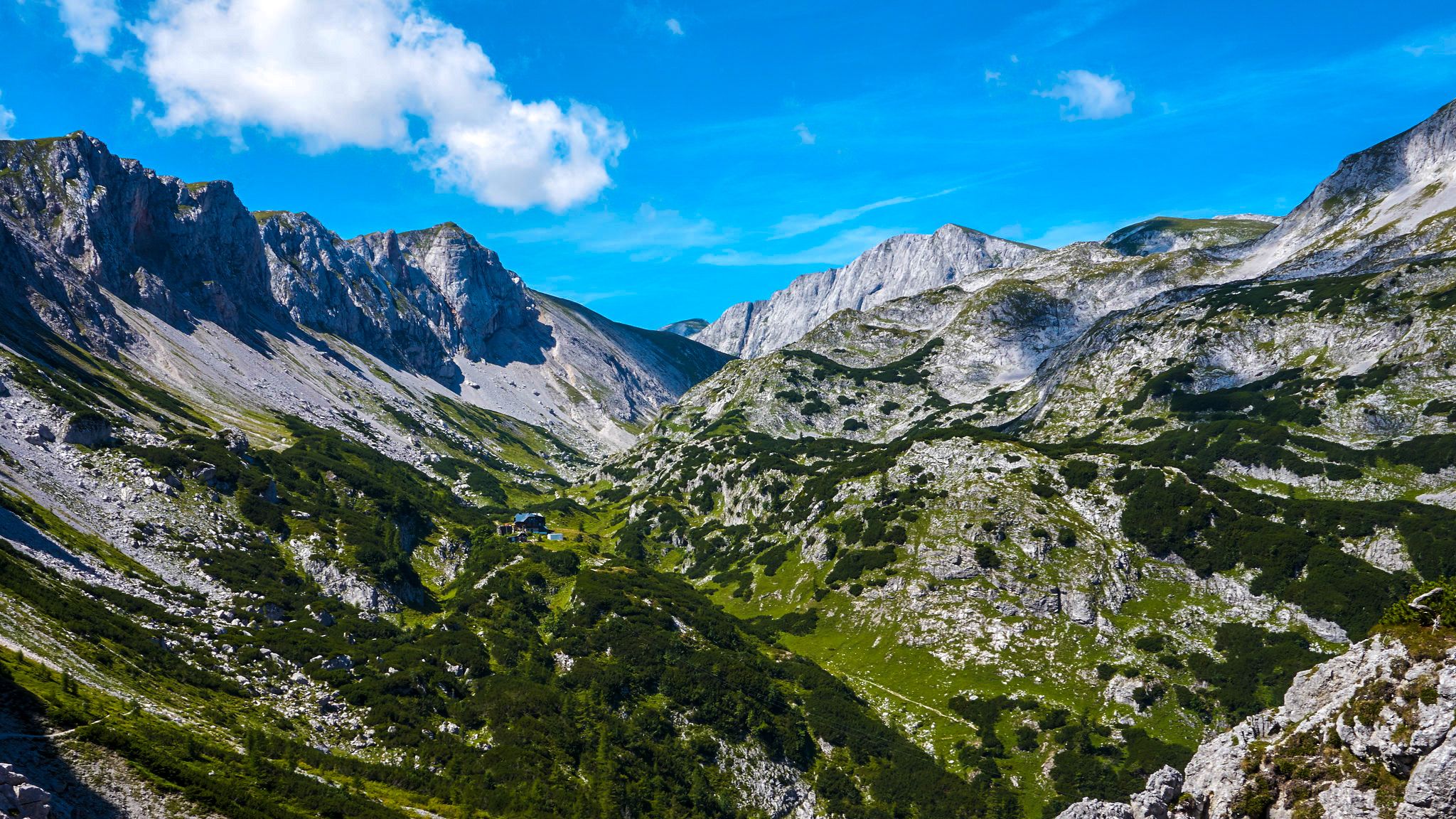
The BergZeitReise – a beautiful long-distance hiking trail across Styria
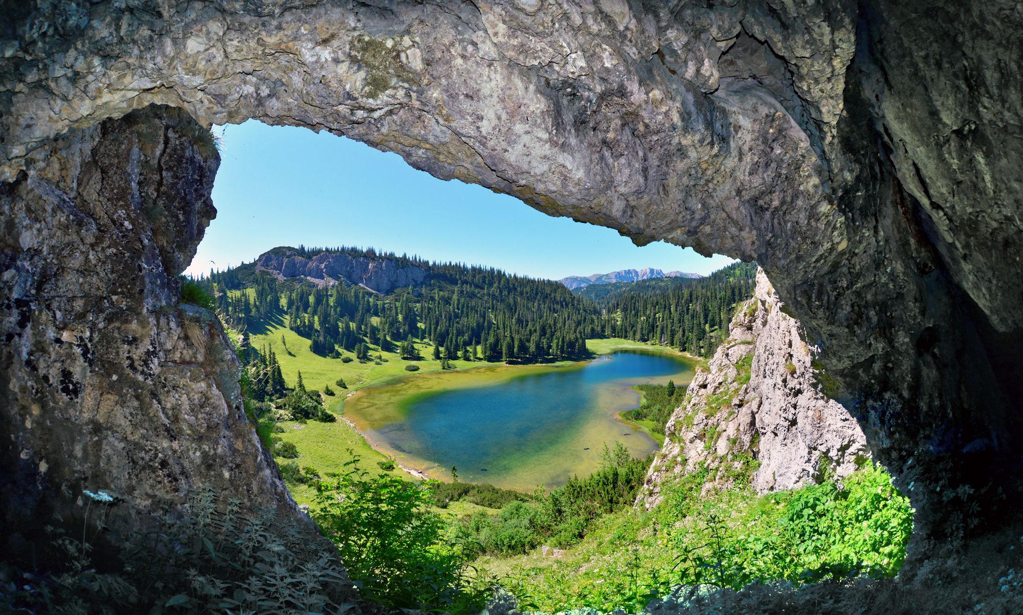
BergZeitReise – from glacier to wine in high Styria
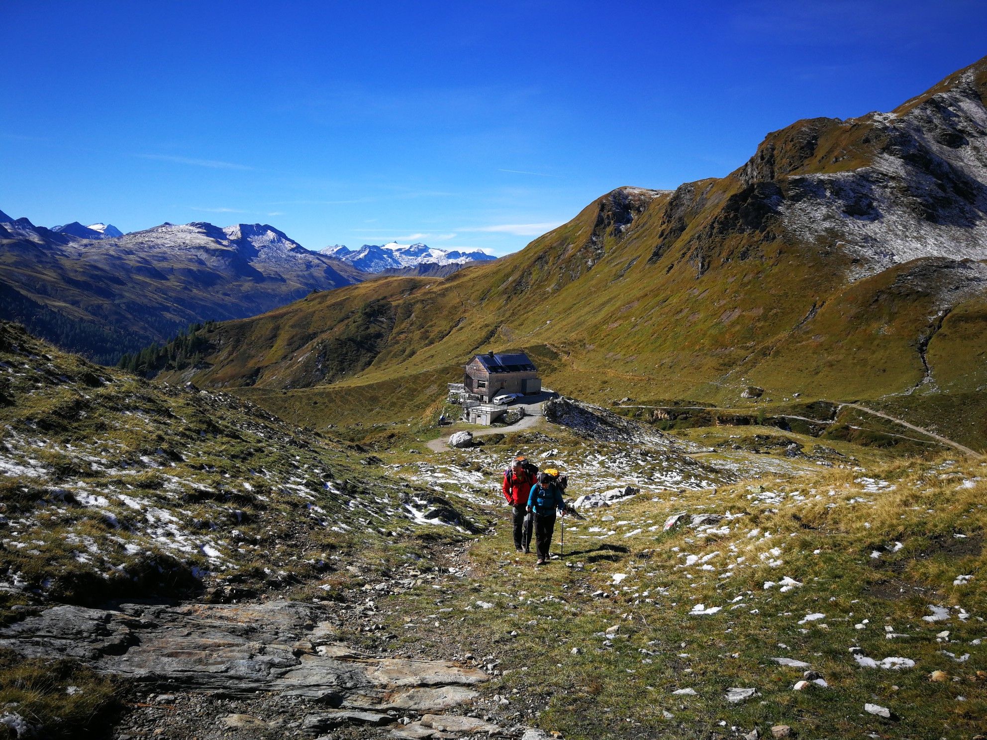
Lower Austria to Carinthia — our favourite huts in Austria
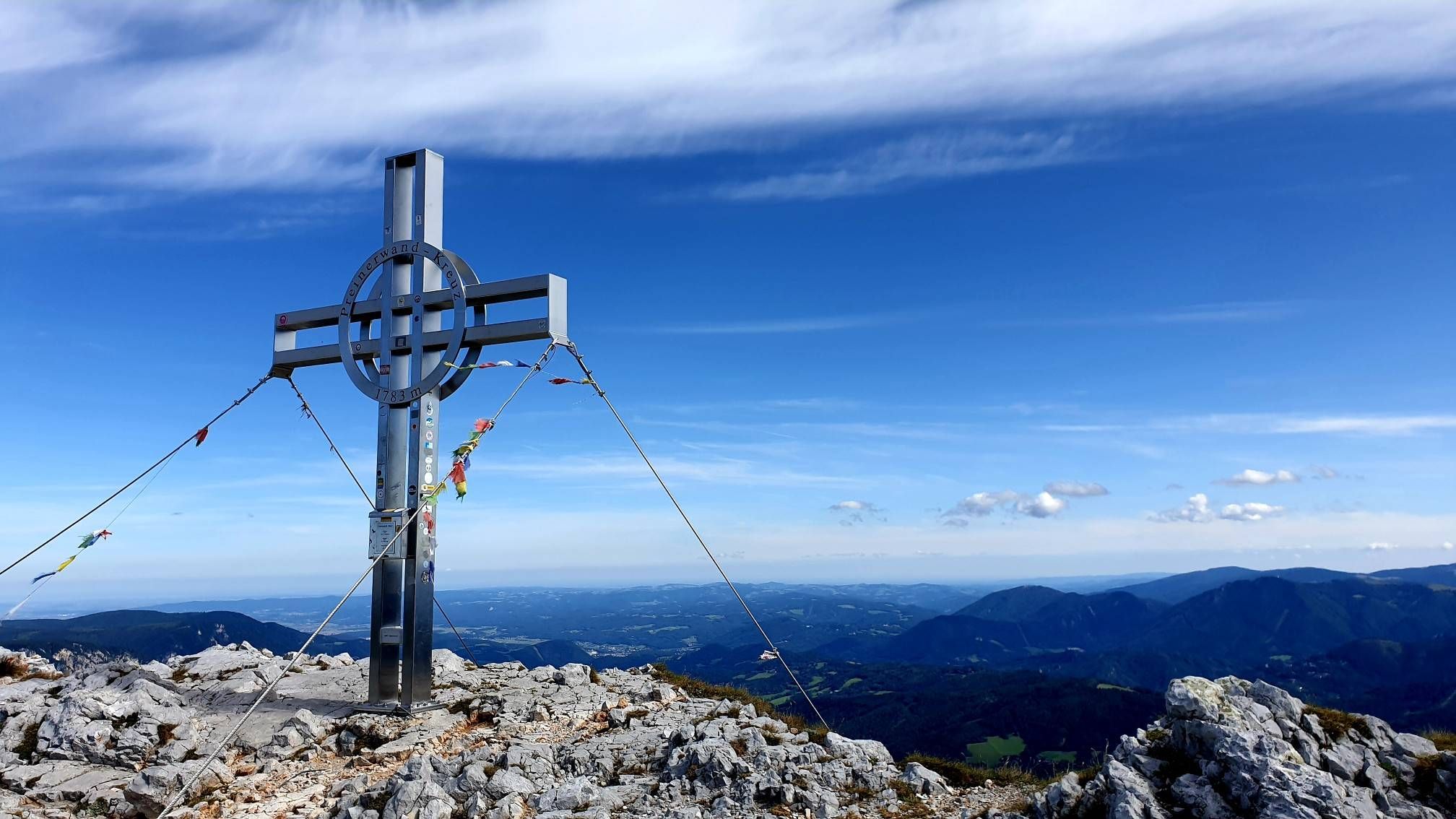
Alpine hiking on Vienna’s doorstep – Rax-Schneeberg Group Mountains

Discover Styria in Austria on foot – ‘From Glacier to Wine’ North Route
Out of town, up the mountain – Vienna's backyard
Hut fun in Austria’s Schneebergland
Family adventures in Vienna's local mountains
Other adventures in Mürzer Oberland


Tips from the Community

The Kreuzmauer (1,094 m) is a wooded summit in the Styrian mountain landscape and a quiet hiking destination away from the large, heavily frequented peaks. The ascent leads predominantly through forest and conveys, especially on longer tours, the character of the forest-rich foothills of the Alps. At the highest point, a summit cross marks the achievement of the Kreuzmauer. The summit is well suited as an intermediate destination or an additional highlight on an extended hike through the surrounding mountain ranges.
3
0


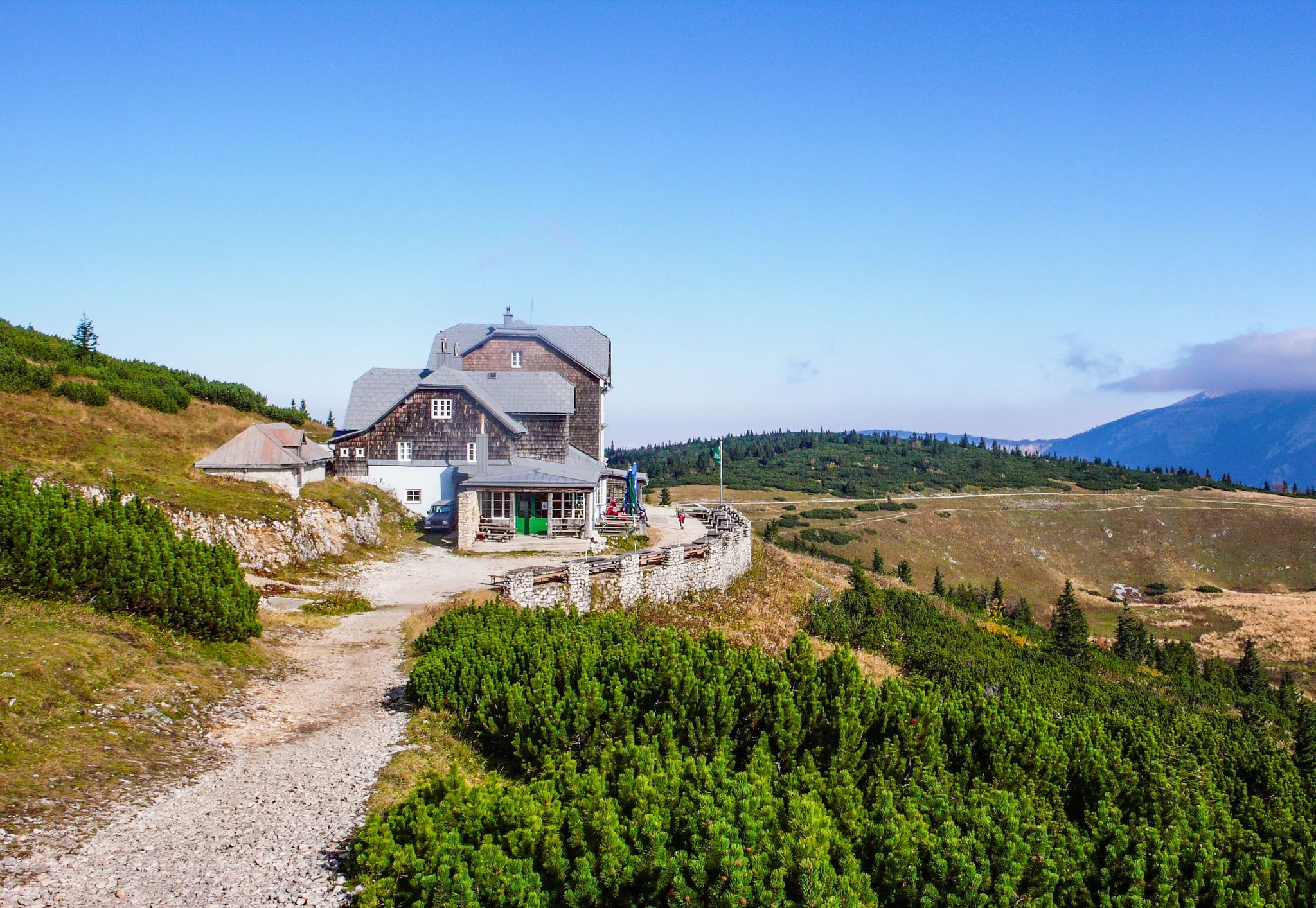
Guesthouse open in the background
3
0

Large parking lot, subject to charge (€ 5,- as of end of April 2026)
0
0

The Edelweißhütte's terrace and guest garden invite you to linger in the fresh air.
2
0

Large parking lot, ingenious view of Hohe Weichsl and Ringkamp in the west. Starting point for hikes to the Veitsch and Tonion or Wetterin
0
0
From May 1st to the end of October Open Thursday to Sunday
0
0
Frequently Asked Questions
How many easy hiking trails are available in Mürzer Oberland?
Mürzer Oberland offers a wide selection of easy hiking trails, with over 10 routes specifically categorized as easy. In total, the region boasts more than 160 hiking routes, catering to various fitness levels.
What kind of terrain can I expect on easy hikes in Mürzer Oberland?
Easy hikes in Mürzer Oberland typically traverse a captivating blend of vast forests, rolling alpine meadows, and deep river valleys. You'll find paths with gentle ascents and descents, offering scenic views of the surrounding Rax, Schneealpe, and Hohe Veitsch mountains, without requiring significant technical skill.
Are there any family-friendly easy hikes in Mürzer Oberland?
Yes, Mürzer Oberland is well-suited for family outings. Many easy trails are designed to be enjoyable for all ages. For example, the Preiner Gscheid Pass (1070 m) – Siebenbrunnen Meadow loop from Preiner Gscheid is a shorter, pleasant walk through forested areas, perfect for families.
Can I bring my dog on easy hiking trails in Mürzer Oberland?
Generally, dogs are welcome on most hiking trails in Mürzer Oberland. However, it's always recommended to keep your dog on a leash, especially in nature park areas, near grazing livestock, or in wildlife protection zones. Always carry water for your pet and clean up after them.
What are some notable natural features or landmarks I can see on easy hikes?
Many easy trails offer access to beautiful natural features. You might encounter the expansive Schneealm plateau, or enjoy views of the Mürz river valley. The Wetterin Summit – Wetterinalm Halter Hut loop from Niederalpl, for instance, provides scenic vistas from the Wetterin Summit. You can also explore highlights like the Siebenbrunnen Meadow.
Are there any easy circular walks in Mürzer Oberland?
Yes, several easy circular walks are available. A popular option is the Waxriegelhaus (1,361 m) – Preiner Gscheid Pass (1070 m) loop from Preiner Gscheid, which offers gentle ascents and views. Another great choice is the Kreuzmauer loop from Kaiserliches Jagdschloss Mürzsteg, providing a pleasant round trip.
What is the best time of year for easy hikes in Mürzer Oberland?
The best time for easy hikes in Mürzer Oberland is typically from late spring through early autumn (May to October). During these months, the weather is generally mild, and trails are clear of snow, making for comfortable hiking conditions. Always check local weather forecasts before heading out.
Are there places to stop for refreshments or food along easy trails?
Yes, some easy trails lead past or near mountain huts and cafes where you can stop for refreshments. For example, the Wetterinalm Halter Hut – Weißalm Hut loop from Niederalpl offers opportunities to visit traditional huts. The Waxriegelhaus (1,361 m) is also a well-known hut in the region.
What do other hikers enjoy most about easy hiking in Mürzer Oberland?
The easy hiking trails in Mürzer Oberland are highly rated by the komoot community, with an average score of 4.7 stars from over 1,500 reviews. Hikers often praise the region's stunning alpine scenery, the well-maintained paths, and the peaceful atmosphere that allows for a relaxing outdoor experience.
Is parking available at the trailheads for easy hikes?
Yes, parking is generally available at common starting points for easy hikes, such as Preiner Gscheid Pass or Niederalpl. These areas serve as popular access points to the trail network. Specific parking information can often be found on individual route pages.
Can I reach easy hiking trails in Mürzer Oberland using public transport?
While some trailheads might be accessible by public transport, options can be limited, especially for more remote starting points. It's advisable to check local bus schedules or consider a combination of public transport and a short taxi ride to reach specific trailheads. Planning ahead is key for public transport access.
Most popular routes in Mürzer Oberland
Most popular attractions in Mürzer Oberland

Get inspired with the komoot mobile app


Explore more
Browse the best Hikes in other regions.
