The best walks and hikes in Mürzer Oberland
4.7
(1805)
12,508
hikers
158
hikes
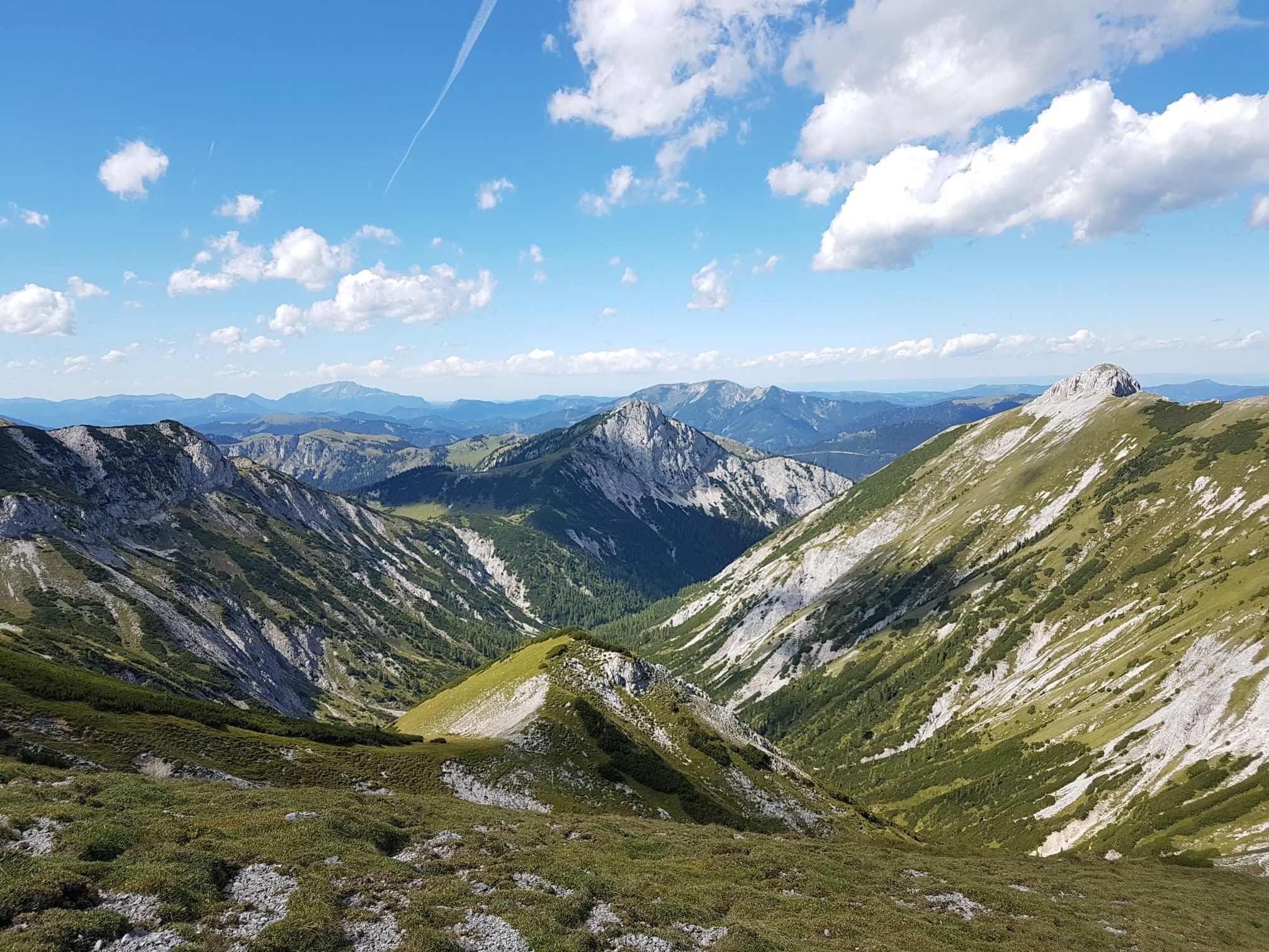
Hiking in Mürzer Oberland offers diverse terrain within the eastern high mountain foothills of the Alps, characterized by prominent peaks such as the Rax, Schneealpe, and Hohe Veitsch. The region features expansive forests, alpine meadows, and deep river valleys carved by the Mürz River. High plateaus provide extensive alpine landscapes, while lower elevations include gentle paths through varied cultural landscapes. This combination creates a range of hiking opportunities from riverine environments to challenging mountain ascents.
Best hiking trails in Mürzer…
Last updated: October 6, 2026
4.7
(21)
217
hikers
3.74km
01:27
270m
270m
Moderate hike. Great for any fitness level. Mostly accessible paths. Sure-footedness required.
4.9
(131)
992
hikers
11.2km
04:47
930m
930m
Hard hike. Very good fitness required. Mostly accessible paths. Sure-footedness required.

4.8
(115)
591
hikers
Moderate hike. Good fitness required. Mostly accessible paths. Sure-footedness required.
4.8
(84)
561
hikers
9.37km
04:21
830m
830m
Moderate hike. Good fitness required. Mostly accessible paths. Sure-footedness required.
4.8
(88)
787
hikers
Moderate hike. Good fitness required. Easily-accessible paths. Suitable for all skill levels.
Get access to more routes and recommendations from other explorers.
Already have an account?
Our route recommendations are based on thousands of hikes, rides, and runs completed by other people on komoot.
Start today with a free account
Your next adventure awaits.
Popular around Mürzer Oberland

North Alpine Trail 01 – Hike across Austria in 49 days

Viennese Alpenbogen – Lower Austria's most beautiful peaks
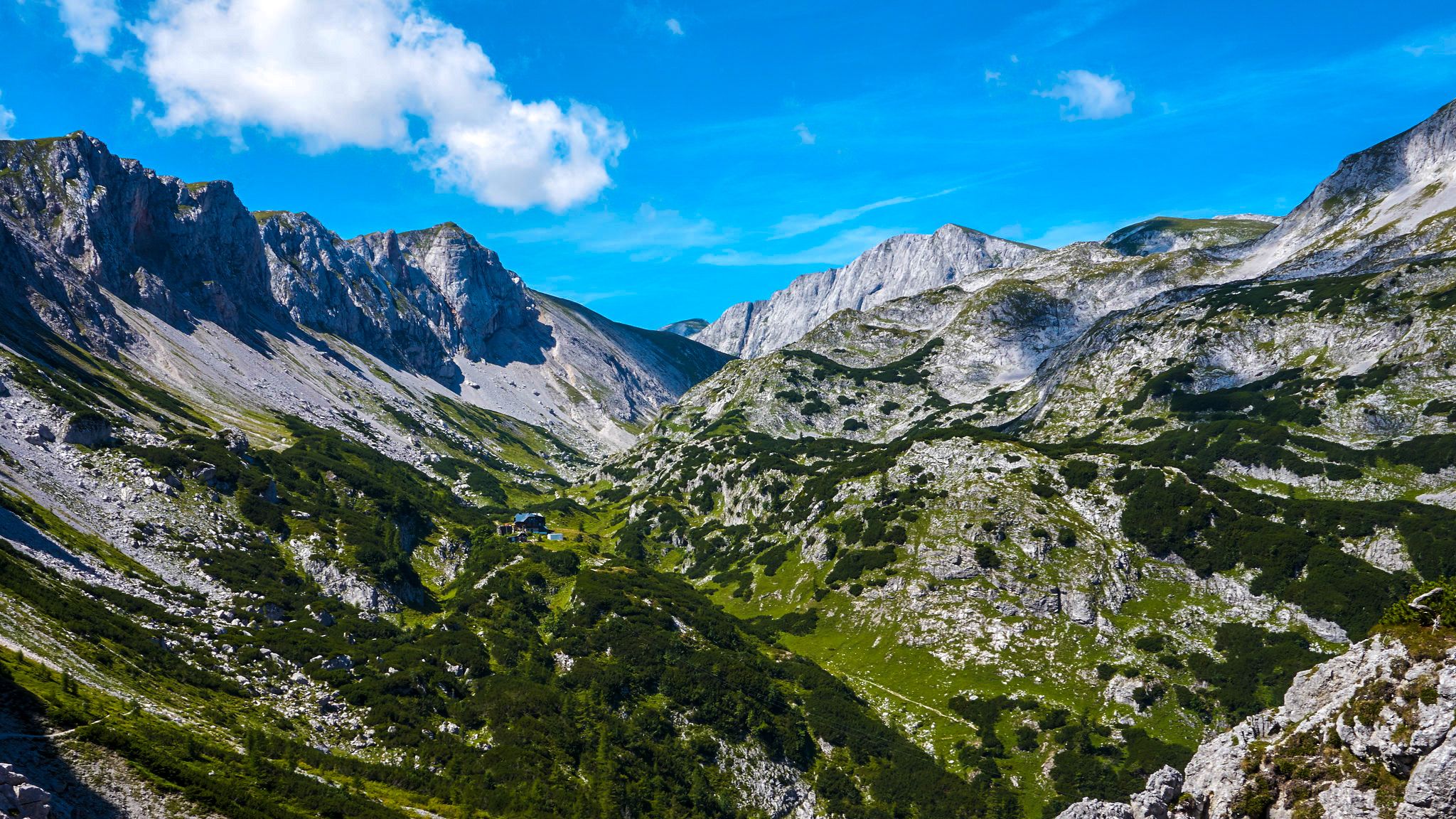
The BergZeitReise – a beautiful long-distance hiking trail across Styria
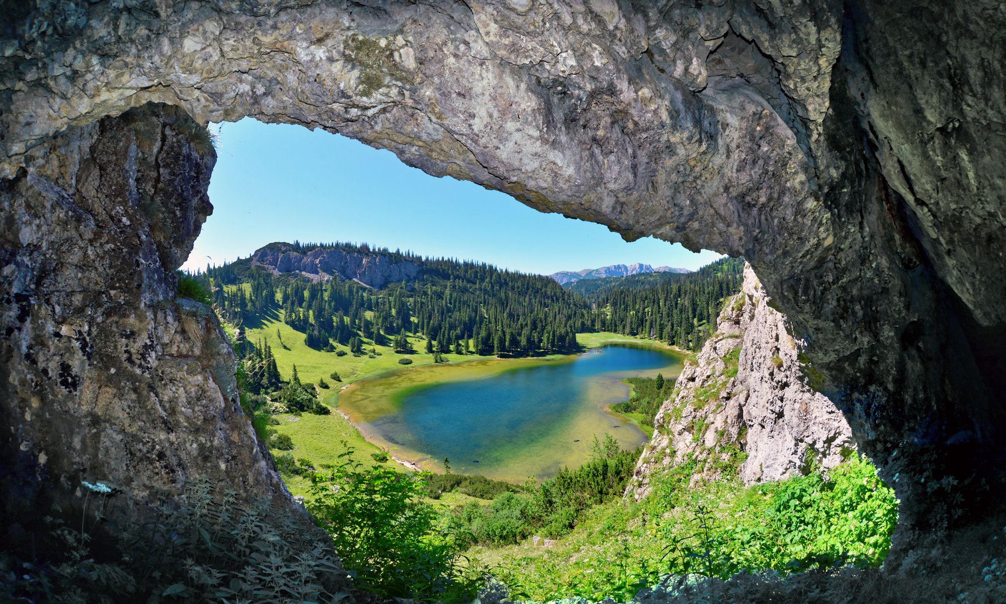
BergZeitReise – from glacier to wine in high Styria
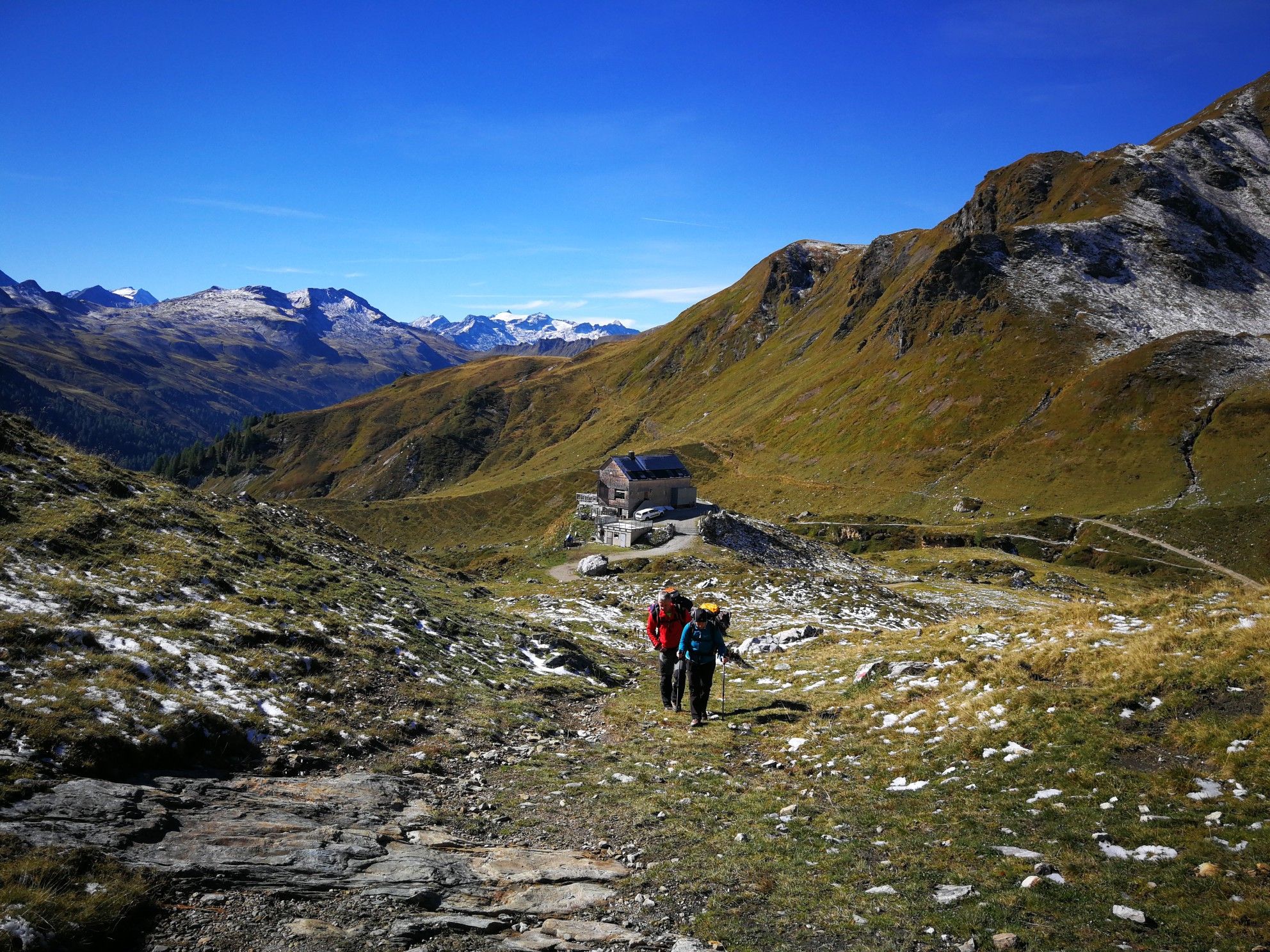
Lower Austria to Carinthia — our favourite huts in Austria
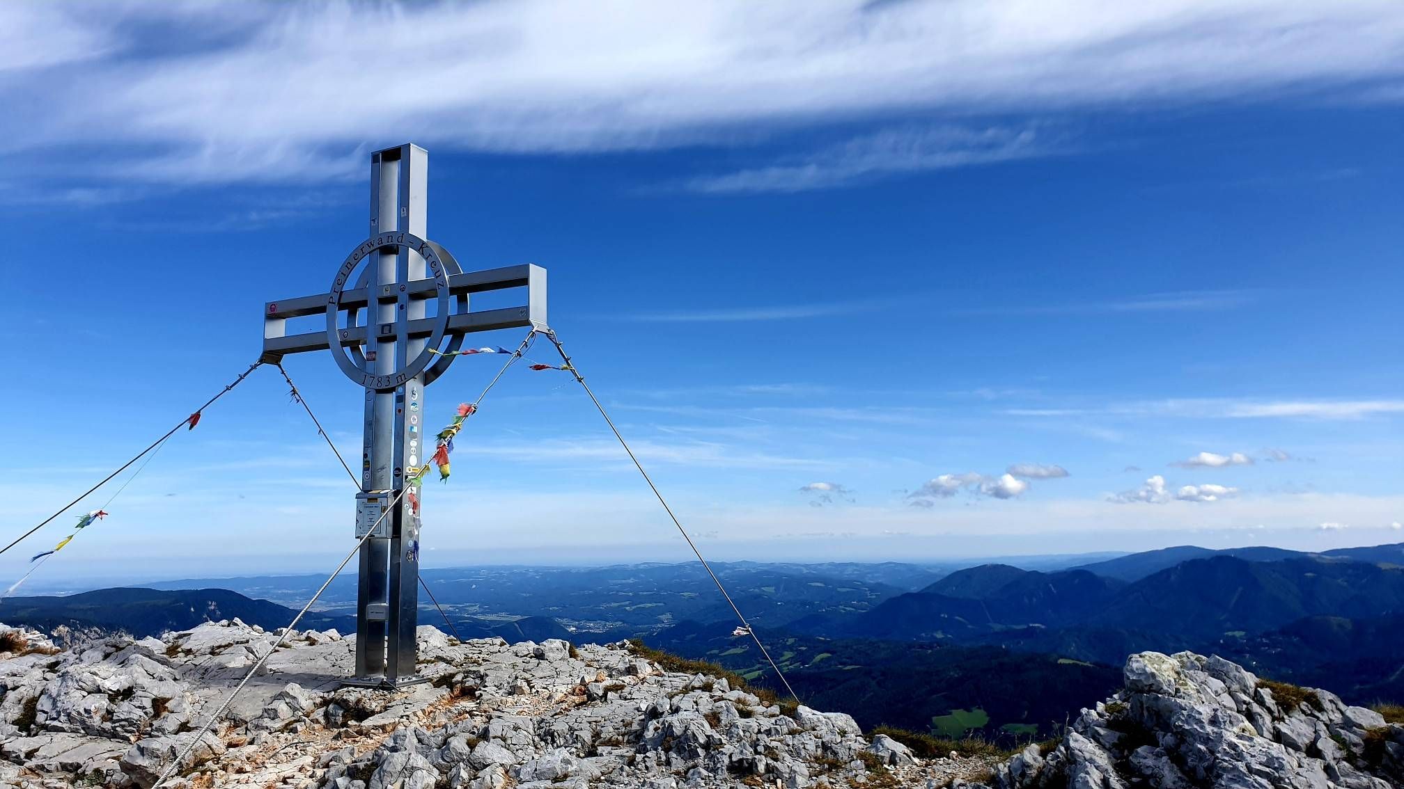
Alpine hiking on Vienna’s doorstep – Rax-Schneeberg Group Mountains

Discover Styria in Austria on foot – ‘From Glacier to Wine’ North Route
Out of town, up the mountain – Vienna's backyard
Hut fun in Austria’s Schneebergland
Family adventures in Vienna's local mountains
Other adventures in Mürzer Oberland


Tips from the Community

The Predigtstuhl (1,902 m) is a distinctive viewpoint on the edge of the Rax plateau with impressive rock faces and a wide panorama. The ascent is via alpine trails and requires sure-footedness and some stamina. At the top, a magnificent view opens up over the Rax high plateaus and the surrounding Vienna Alps – a rewarding destination for experienced mountain hikers.
4
0
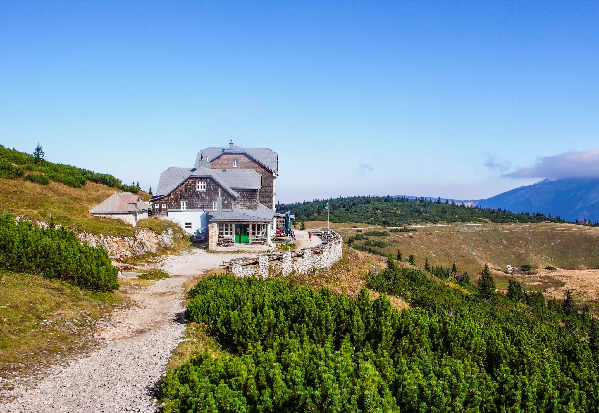
The Karl-Ludwig-Haus is located at 1,804 meters on the edge of the Rax plateau and is one of the most traditional huts in the region. Surrounded by wide alpine meadows and striking rock faces, it is a popular base for hikes across the plateau and to the surrounding peaks. A cozy stop with regional cuisine makes it an ideal resting and starting point for tours on the Rax.
5
0
The Raxkirchlein is a small chapel on the Rax plateau and is considered the highest church in Lower Austria. Simple and exposed, it blends harmoniously into the vast alpine landscape and is a special place of tranquility. From here, a beautiful view also opens up over the plateau and the surrounding peaks of the Rax.
5
0
The Heukuppe, at 2,007 meters, is the highest peak in the Rax and marks the easternmost two-thousand-meter peak in the Alps. From the expansive plateau, an unassuming ascent leads to the highest point, rewarding with an impressive panoramic view over the Vienna Alps and far into the Lower Austrian Prealps. Despite the gentle summit shape, you can feel the alpine vastness and the special location on the edge of the Eastern Alps up here.
5
0

A nice opportunity to seek shelter
3
0
Great view, worth stopping
3
0
Beautiful view of the Michlbauerhütte
3
0
Parking possibility on the toll road
3
0
Frequently Asked Questions
What kind of terrain can I expect when hiking in Mürzer Oberland?
Mürzer Oberland offers a diverse range of terrain, from gentle paths through expansive forests and alpine meadows to challenging ascents on prominent peaks like the Rax, Schneealpe, and Hohe Veitsch. You'll find deep river valleys carved by the Mürz River, as well as extensive high plateaus with alpine landscapes.
Are there hikes for all skill levels in Mürzer Oberland?
Yes, Mürzer Oberland caters to hikers of all skill levels. The region features a wide array of trails, including easy walks suitable for any fitness level, moderate routes, and hard hikes requiring very good fitness and alpine experience. In total, there are over 160 hiking routes, with 13 easy, 66 moderate, and 82 difficult options.
What natural landmarks or viewpoints can I discover on hikes in Mürzer Oberland?
The region is rich in natural jewels and viewpoints. You can find impressive summits like Windberg Summit (Schneealpe) and Hay dome, or enjoy panoramic views from the Siebenbrunnen Meadow. The Mürzer Oberland Nature Park also protects unique habitats like Steinalpl and the Schneealmplateau.
Are there any waterfalls to see in Mürzer Oberland?
Yes, Mürzer Oberland features several waterfalls. A notable one is the Totes Weib Waterfall. You might also encounter smaller cascades, such as a small waterfall with a swimming pool, offering refreshing stops along some trails.
When is the best time of year to go hiking in Mürzer Oberland?
The Mürzer Oberland is generally best for hiking from late spring through early autumn (May to October) when trails are clear of snow and weather conditions are most favorable. The high plateaus offer extensive alpine landscapes during these months. However, some lower elevation paths can be enjoyed earlier or later in the season.
Are there family-friendly hiking options in Mürzer Oberland?
Yes, Mürzer Oberland offers family-friendly hiking options, particularly on its easier trails through forests and meadows. The region's diverse landscape includes paths suitable for various ages and fitness levels. For a unique experience, the 'Forest of the Senses' (Wald der Sinne) is a wheelchair and stroller-friendly circular path designed to connect visitors with nature.
Can I bring my dog on the hiking trails in Mürzer Oberland?
Generally, dogs are welcome on hiking trails in Mürzer Oberland. However, it's always recommended to keep them on a leash, especially in nature park areas, near livestock, or in wildlife habitats, to protect both your pet and the local fauna. Be sure to check specific trail regulations if you plan to visit a protected area.
Are there mountain huts or places to stop for refreshments along the trails?
Yes, many trails in Mürzer Oberland lead to or pass by mountain huts where you can stop for refreshments and rest. For example, the route To Waxriegelhaus – Rax and Schneeberggruppe leads directly to a mountain hut with views of the Rax and Schneeberg massifs. Another option is the Windberg Summit (Schneealpe) – Michlbauer Hut loop, which includes the Michlbauer Hut.
Are there opportunities for winter hiking in Mürzer Oberland?
While many high-altitude trails may be covered in snow and require specialized equipment or experience in winter, Mürzer Oberland does offer opportunities for winter hiking on lower, cleared paths. The region's diverse landscape means some routes remain accessible, providing a different, serene experience amidst snowy forests and valleys. Always check local conditions and avalanche warnings before heading out.
What do other hikers enjoy the most about hiking in Mürzer Oberland?
The Mürzer Oberland is highly rated by the komoot community, with an average score of 4.7 stars from over 1,500 reviews. Hikers often praise the region's diverse terrain, from challenging mountain ascents to gentle alpine meadows, and the stunning panoramic views from peaks like the Rax and Schneealpe. The well-maintained paths and the opportunity to explore natural jewels are also frequently highlighted.
Are there circular hiking routes available in Mürzer Oberland?
Yes, Mürzer Oberland offers several excellent circular hiking routes. An example is the challenging Hay dome – Waxriegelhaus (1,361 m) loop from Preiner Gscheid, which provides significant elevation gain and expansive alpine scenery. Another option is the Waxriegelhaus (1,361 m) – Schlangenweg Trail loop from Preiner Gscheid.
Is public transport available to reach hiking trails in Mürzer Oberland?
Mürzer Oberland has some public transport connections that can help you reach various starting points for hikes. While not all trailheads may be directly accessible by public transport, key villages and access points often have bus services. It's advisable to check local bus schedules and routes in advance to plan your journey effectively.
Most popular routes in Mürzer Oberland
Most popular attractions in Mürzer Oberland

Get inspired with the komoot mobile app


Explore more
Browse the best Hikes in other regions.
