Easy hikes and walks around Gummersbach
4.5
(3546)
12,574
hikers
431
hikes
Easy hiking trails around Gummersbach are set within the Bergisches Land Nature Park, characterized by rolling hills, dense forests, and numerous reservoirs. The region offers a diverse landscape with varied terrain suitable for different hiking preferences. Hikers can explore paths along the Dümmer River and discover viewpoints offering panoramic views of the surrounding area.
Best easy hiking trails around Gummersbach
- The most popular easy hiking route is Spitze Peninsula – Circular route around the Aggertalsperre dam loop from Bredenbruch,…
Last updated: October 10, 2026
4.5
(464)
1,305
hikers
Easy hike. Great for any fitness level. Easily-accessible paths. Suitable for all skill levels.
4.5
(35)
158
hikers
Easy hike. Great for any fitness level. Easily-accessible paths. Suitable for all skill levels.

4.9
(24)
90
hikers
5.04km
01:24
90m
90m
Easy hike. Great for any fitness level. Easily-accessible paths. Suitable for all skill levels.
4.5
(24)
135
hikers
3.67km
01:01
60m
60m
Easy hike. Great for any fitness level. Easily-accessible paths. Suitable for all skill levels.
4.9
(19)
67
hikers
Easy hike. Great for any fitness level. Easily-accessible paths. Suitable for all skill levels.
Get access to more routes and recommendations from other explorers.
Already have an account?
Our route recommendations are based on thousands of hikes, rides, and runs completed by other people on komoot.
Start today with a free account
Your next adventure awaits.
Popular around Gummersbach
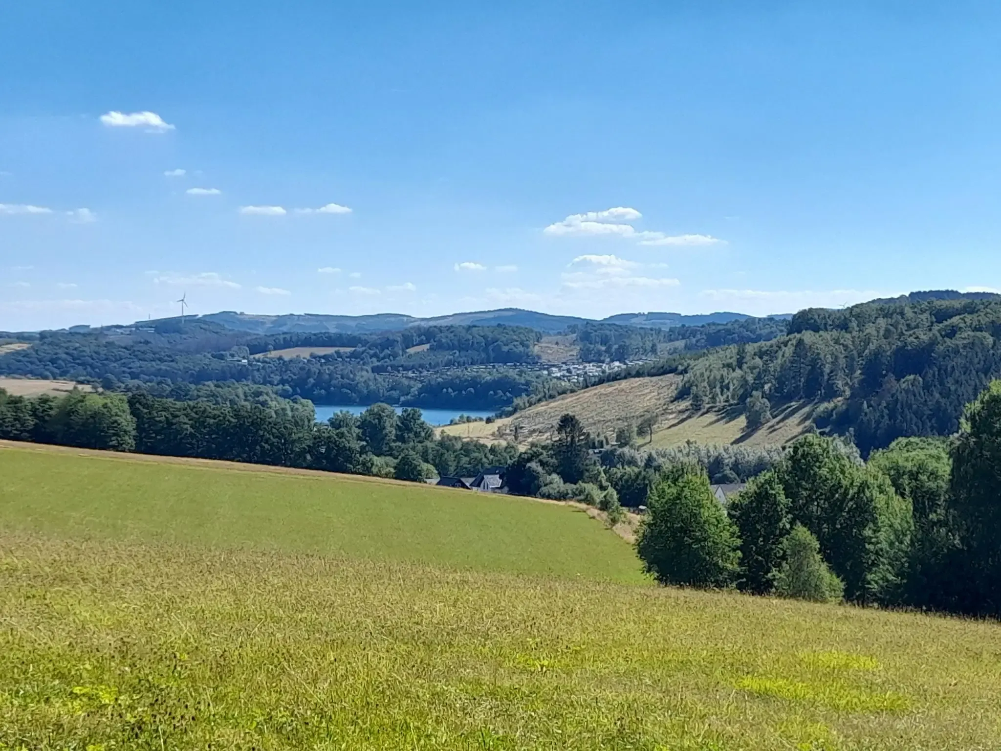
The big D: forest paths and water views in southern Sauerland
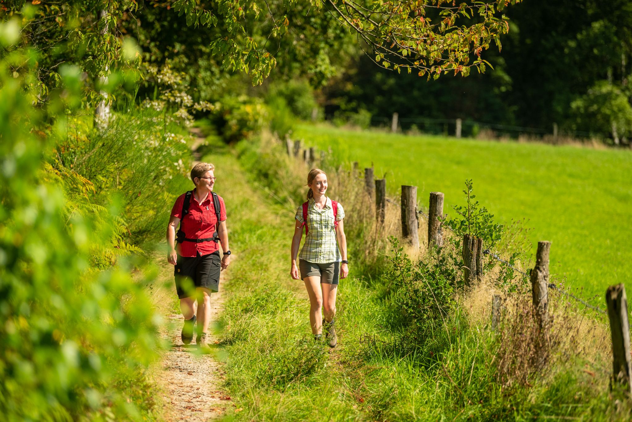
Bergische Rambles – themed and adventure trails in the Bergisches Land region
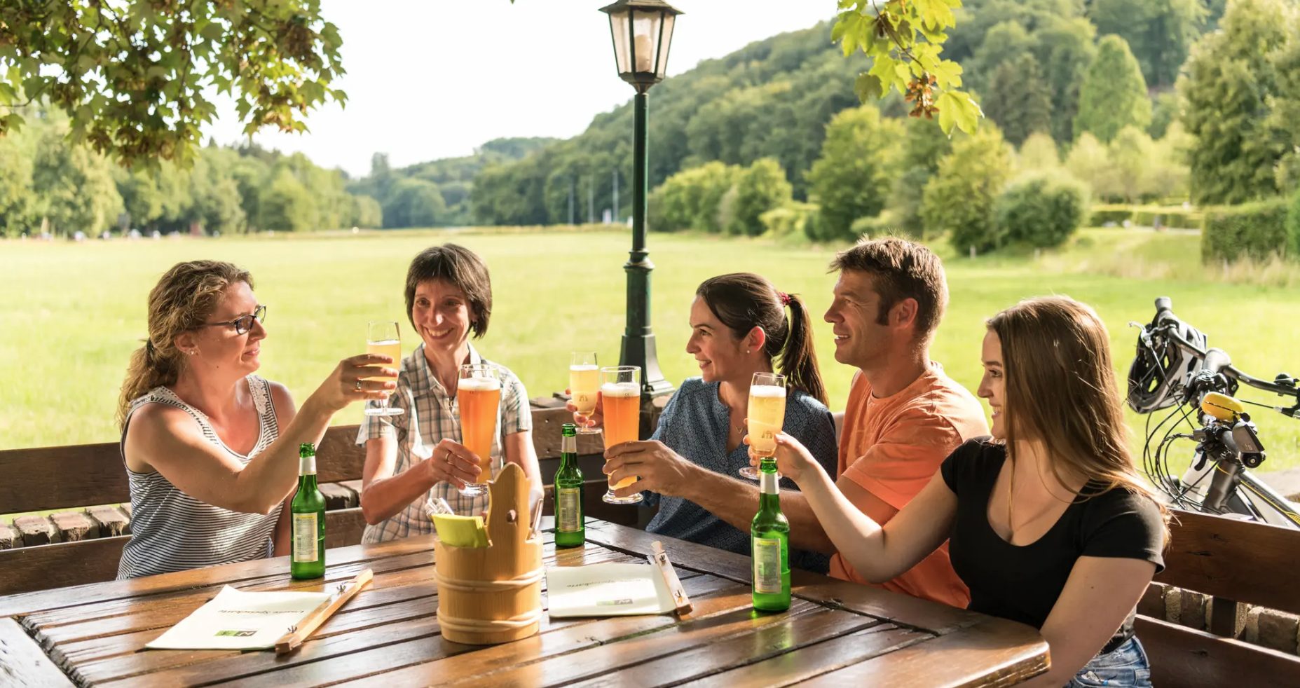
Hike and indulge in regional delights in Bergisches Land
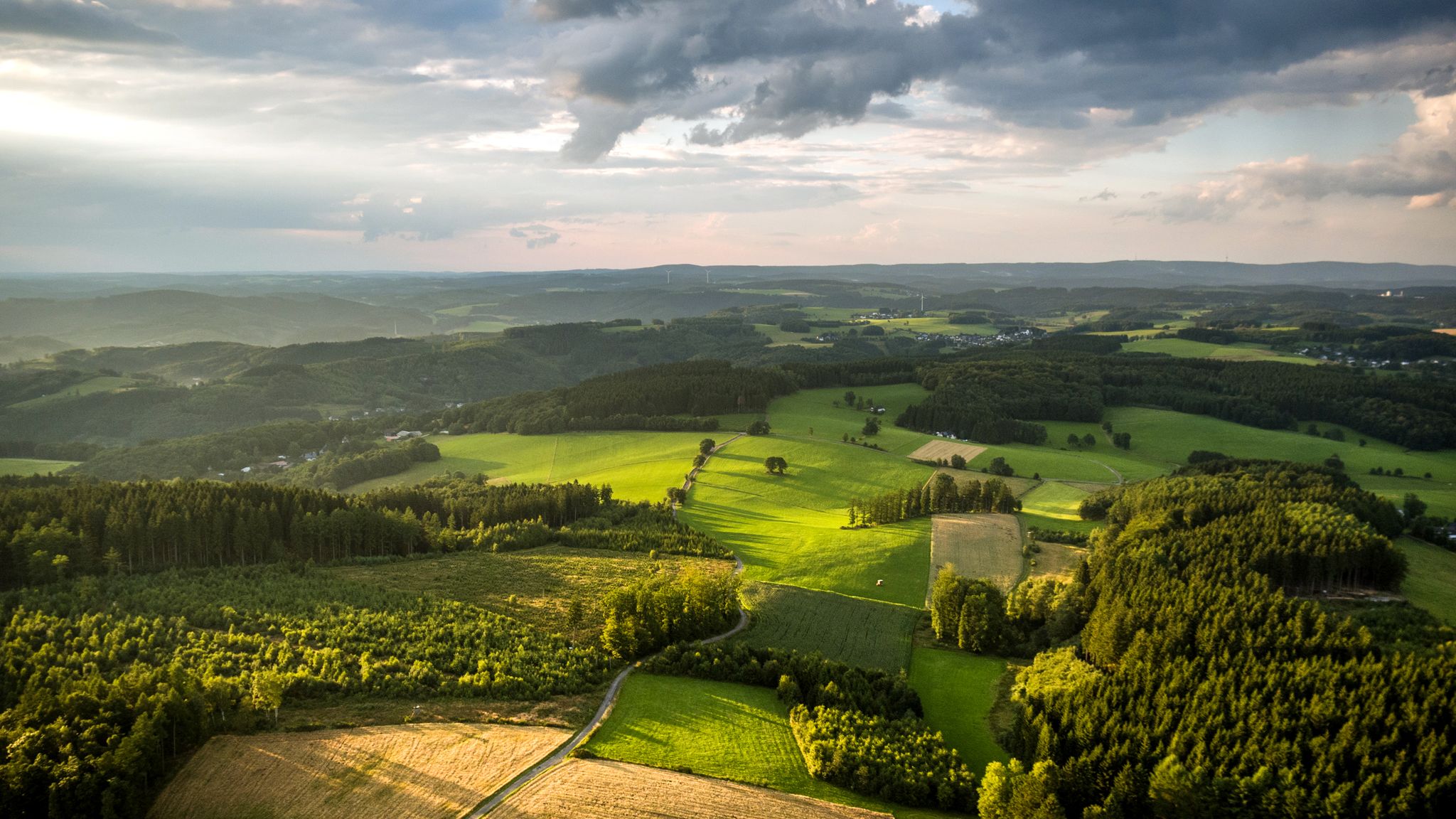
Panoramic adventures — explore Germany’s Bergisches Land

River dams in Germany’s Bergisches Land
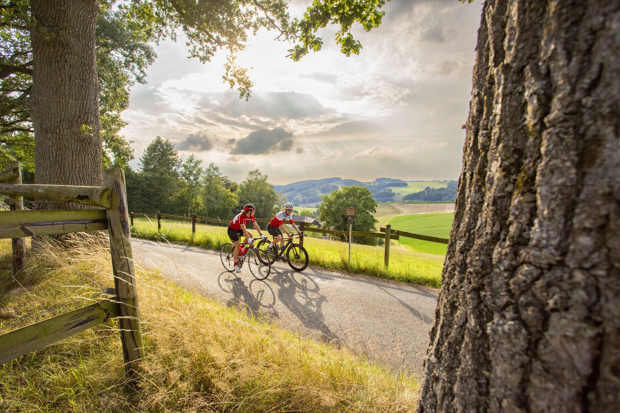
Road bike Tours in the Bergisches Land – endless hills and forests
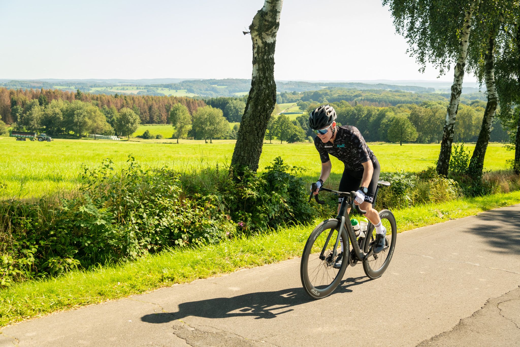
On the trails of Rund um Köln – road cycling routes in the Bergisches Land
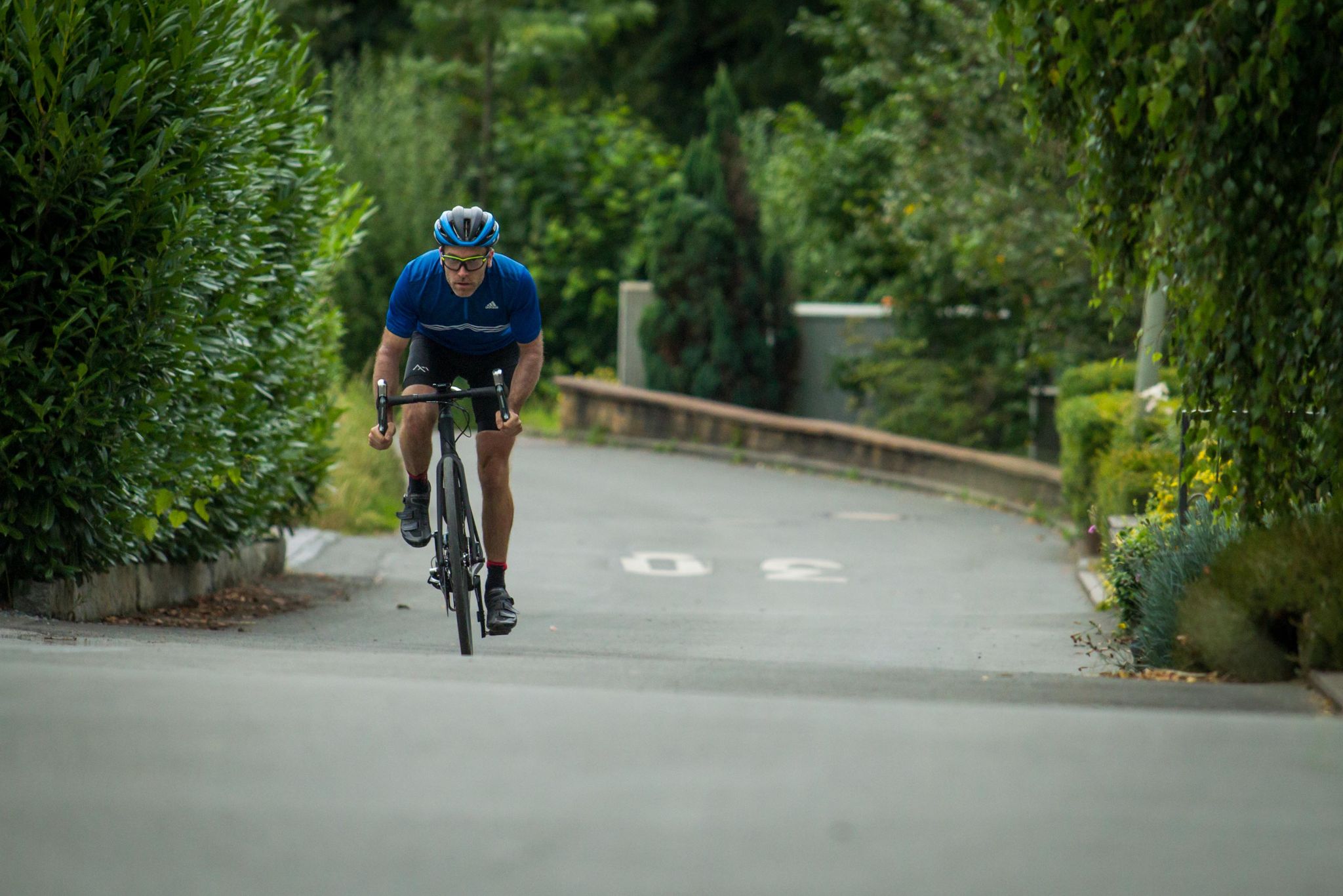
Who needs the Alps? 8 great climbs around Germany
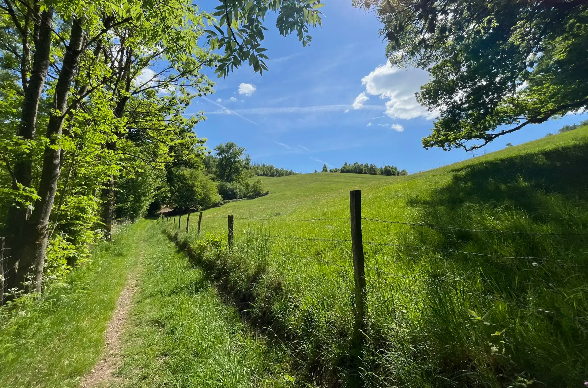
Wasser, Wald und Weitblick – Aktivtouren im Bergischen Land
Other adventures around Gummersbach


Tips from the Community

The map and description show the peninsula of the Aggertalsperre, not the Genkel. The Genkeltalsperre is next door.
0
0

The path from the top of the Inselweg towards Bredenbruch doesn't provide a satisfactory view of the foreshore dam due to the bushes and trees. However, this was possible with the drone.
0
0
Magnificent view of the dam
0
0

Beautiful view of the dam from the tip of the peninsula
1
0
From the tip of the peninsula you have a beautiful view of the dam wall and the tributaries of the reservoir.
1
0
Currently looking at the not yet completely finished artwork on the dam wall
1
0

Tour was a bad decision, the deep ruts from the harvester are totally muddy and full of water. If you want to go around the outside, you end up in the thorns. The route is not recommended. 😡
0
0

The rocks are quite slippery in wet weather (drizzle and fog)
3
0
Frequently Asked Questions
How many easy hiking trails are available around Gummersbach?
Gummersbach offers a wide selection of easy hiking trails, with over 300 routes specifically categorized as easy. The region's diverse landscape, characterized by rolling hills and dense forests, provides numerous options for leisurely walks.
What kind of landscape can I expect on easy hikes in Gummersbach?
Easy hikes in Gummersbach primarily traverse rolling hills and dense forests within the Bergisches Land Nature Park. You'll also find many paths winding along picturesque reservoirs like the Aggertalsperre and the Bever Dam, offering a mix of woodland and waterside scenery.
What do other hikers say about the easy trails in Gummersbach?
The easy trails around Gummersbach are highly regarded by the komoot community, boasting an average rating of 4.5 stars from over 3,100 reviews. Hikers frequently praise the well-maintained paths, scenic views, and the peaceful atmosphere of the Bergisches Land.
Are there easy hikes with scenic viewpoints in Gummersbach?
Yes, several easy hikes offer rewarding views. For instance, the View of Hülsenbusch – View of Nordhelle loop from Scheel provides expansive vistas of the surrounding Bergisches Land. The Kaiser Wilhelm Vantage Point also offers breathtaking views over Gummersbach and the mountains, accessible via a well-paved path.
Can I find easy trails that go along reservoirs or lakes in Gummersbach?
Absolutely. Gummersbach is known for its significant water bodies. The Spitze Peninsula – Circular route around the Aggertalsperre dam loop from Bredenbruch is a popular choice, offering views of the Aggertalsperre dam. Other reservoirs like the Bever Dam, Brucher Reservoir, and Genkel Reservoir also feature easy trails along their shores. You can also explore highlights like the Lingesetal dam or the Genkel Reservoir.
Are there any interesting natural or historical attractions to see on easy hikes?
Beyond the scenic landscapes, you can discover unique attractions. Some routes lead past the geological features of the Grauwacke quarries or include a visit to the Wupper source. For those interested in caves, the nearby Aggertal Cave, Ründeroth is a notable highlight.
Are there easy circular hiking routes in Gummersbach?
Yes, many easy trails in Gummersbach are designed as circular routes, making them convenient for day trips. Examples include the View of the Bergisches Land – Tree Sound Installation loop from Agger-Tal and the View of Bergisches Land loop from Oberbergischer Kreis, which offer varied scenery without retracing your steps.
What is the typical length and duration of easy hikes in Gummersbach?
Easy hikes in Gummersbach generally range from 3 to 7 kilometers (2 to 4.5 miles) in length. Most can be completed within 1.5 to 2.5 hours, making them ideal for a relaxed outing. For example, the View of Karlskamp loop from Oberbergischer Kreis is about 3.7 km and takes just over an hour.
Are the easy hiking trails in Gummersbach suitable for families with children?
Many easy trails in Gummersbach are very family-friendly, offering gentle terrain and manageable distances. The 'Spitze Peninsula – Circular trail at the Bever Dam' is specifically highlighted as perfect for a family outing, providing a scenic and accessible walk around the reservoir.
Can I bring my dog on the easy hiking trails in Gummersbach?
Yes, Gummersbach's natural environment is generally welcoming to dogs. Most easy hiking trails are suitable for well-behaved dogs on a leash. It's always a good idea to check specific route details for any restrictions and to ensure you carry water for your pet.
What is the best time of year for easy hikes in Gummersbach?
The best seasons for hiking in Gummersbach are spring and autumn. In spring, the landscape bursts into bloom, while autumn offers vibrant foliage. Both seasons provide pleasant temperatures and generally stable weather conditions, perfect for enjoying the easy trails.
Are there easy hikes in Gummersbach that are accessible by public transport?
While many trails are best accessed by car, Gummersbach's public transport network can get you close to several starting points. It's recommended to check local bus routes and schedules in conjunction with your chosen trail's starting location to plan your journey effectively.
Are there any easy hikes in Gummersbach that include cafes or places to stop for refreshments?
Many popular hiking areas around Gummersbach, especially near the reservoirs and in larger villages, have cafes or restaurants where you can stop for a break. While specific routes aren't listed with integrated cafes, planning your hike to pass through or end near a town center will offer refreshment options.
Most popular routes around Gummersbach
Most popular attractions around Gummersbach

Get inspired with the komoot mobile app


Explore more
Browse the best Hikes in other regions.
