The best hikes from bus stations around Gummersbach
4.5
(3537)
12,549
hikers
272
hikes
Hiking around Gummersbach, located within the Bergisches Land Nature Park, offers a diverse landscape characterized by rolling hills, dense forests, and idyllic valleys. The region features numerous natural water bodies, including several reservoirs like the Aggertalsperre and Bever Dam, which are central to many routes. Topographical highlights include the Unnenberg peak, providing panoramic views, and the scenic Agger River. This varied terrain provides a range of bus station hiking trails suitable for different fitness levels.
Best bus station hiking trails…
Last updated: September 30, 2026
4.4
(22)
65
hikers
Moderate hike. Good fitness required. Easily-accessible paths. Suitable for all skill levels.
4.5
(464)
1,305
hikers
Easy hike. Great for any fitness level. Easily-accessible paths. Suitable for all skill levels.

4.5
(35)
158
hikers
Easy hike. Great for any fitness level. Easily-accessible paths. Suitable for all skill levels.
4.6
(52)
205
hikers
9.14km
02:36
200m
200m
Moderate hike. Good fitness required. Easily-accessible paths. Suitable for all skill levels.
4.7
(31)
134
hikers
Moderate hike. Good fitness required. Easily-accessible paths. Suitable for all skill levels.
Get access to more routes and recommendations from other explorers.
Already have an account?
Our route recommendations are based on thousands of hikes, rides, and runs completed by other people on komoot.
Start today with a free account
Your next adventure awaits.
Popular around Gummersbach
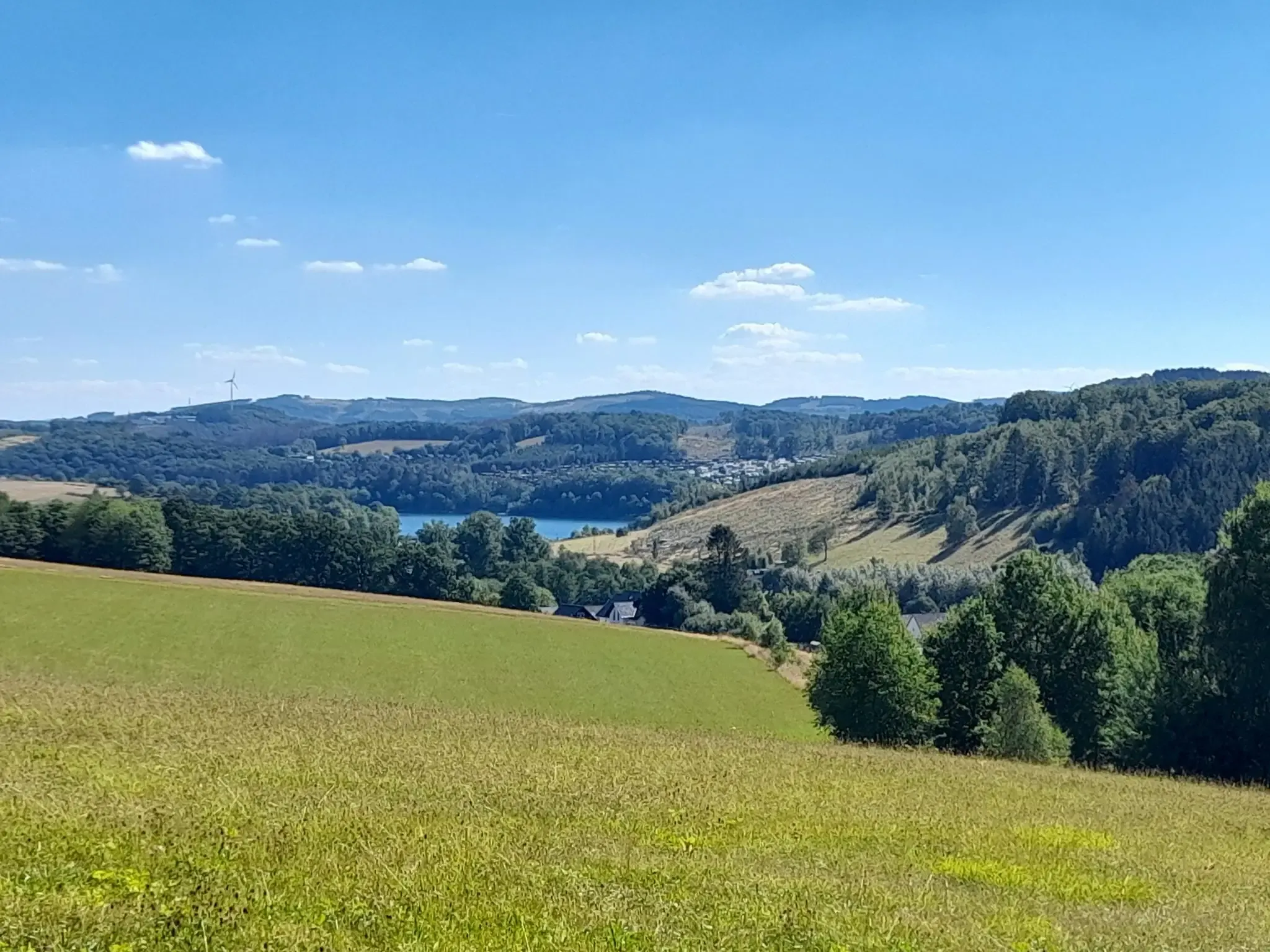
The big D: forest paths and water views in southern Sauerland
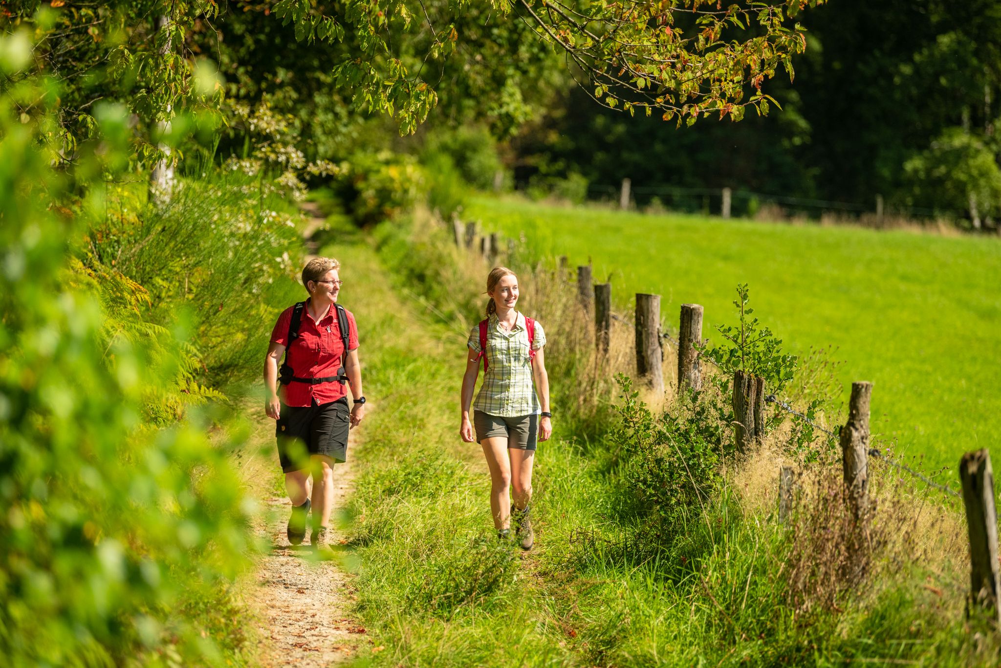
Bergische Rambles – themed and adventure trails in the Bergisches Land region

Hike and indulge in regional delights in Bergisches Land
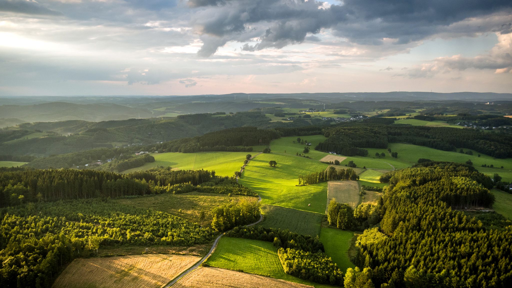
Panoramic adventures — explore Germany’s Bergisches Land

River dams in Germany’s Bergisches Land
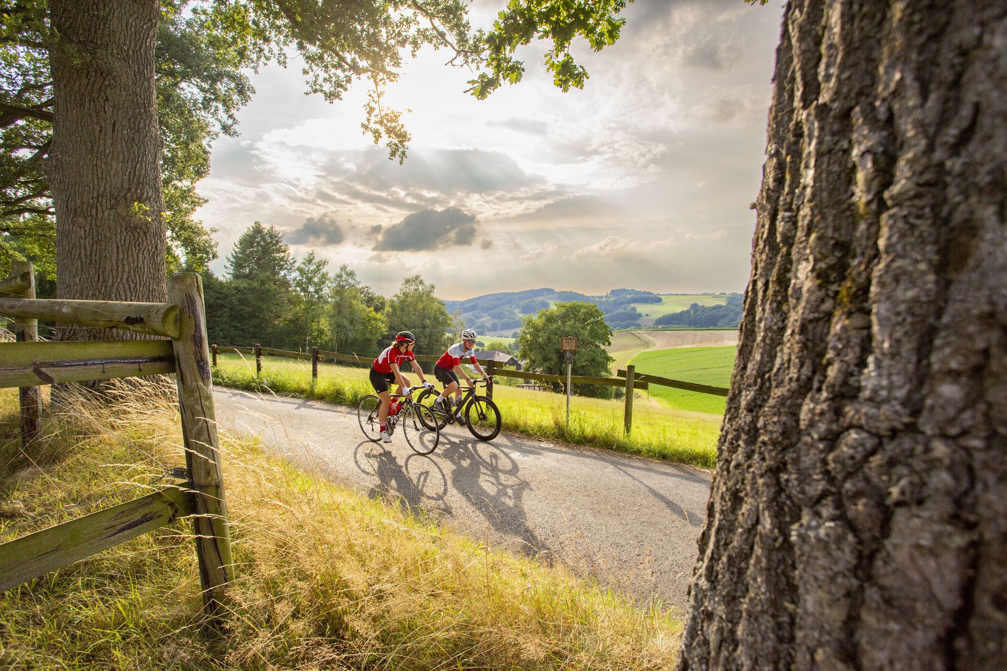
Road bike Tours in the Bergisches Land – endless hills and forests
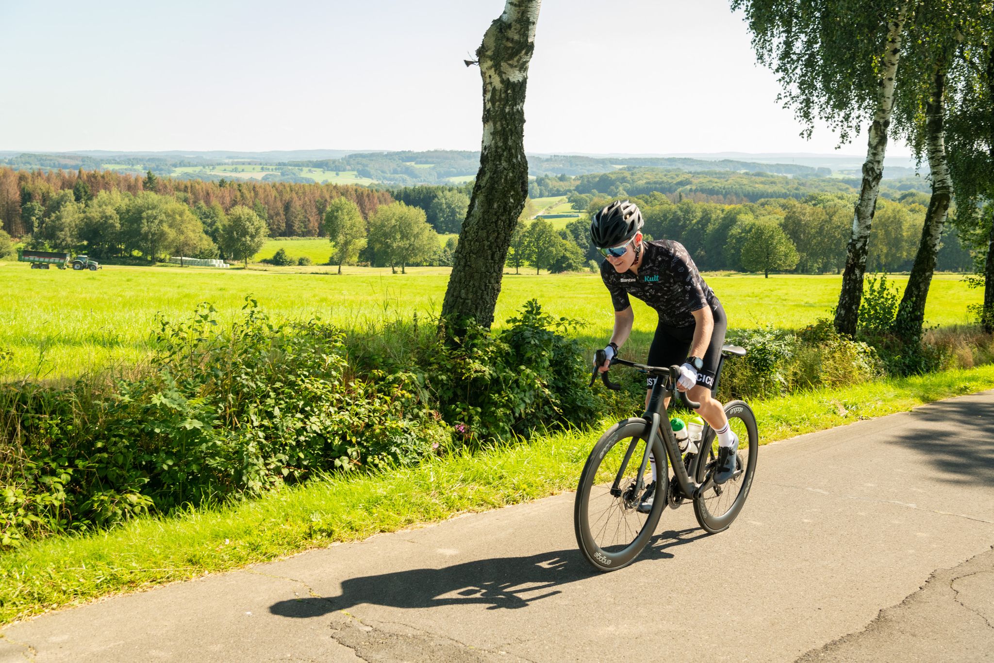
On the trails of Rund um Köln – road cycling routes in the Bergisches Land
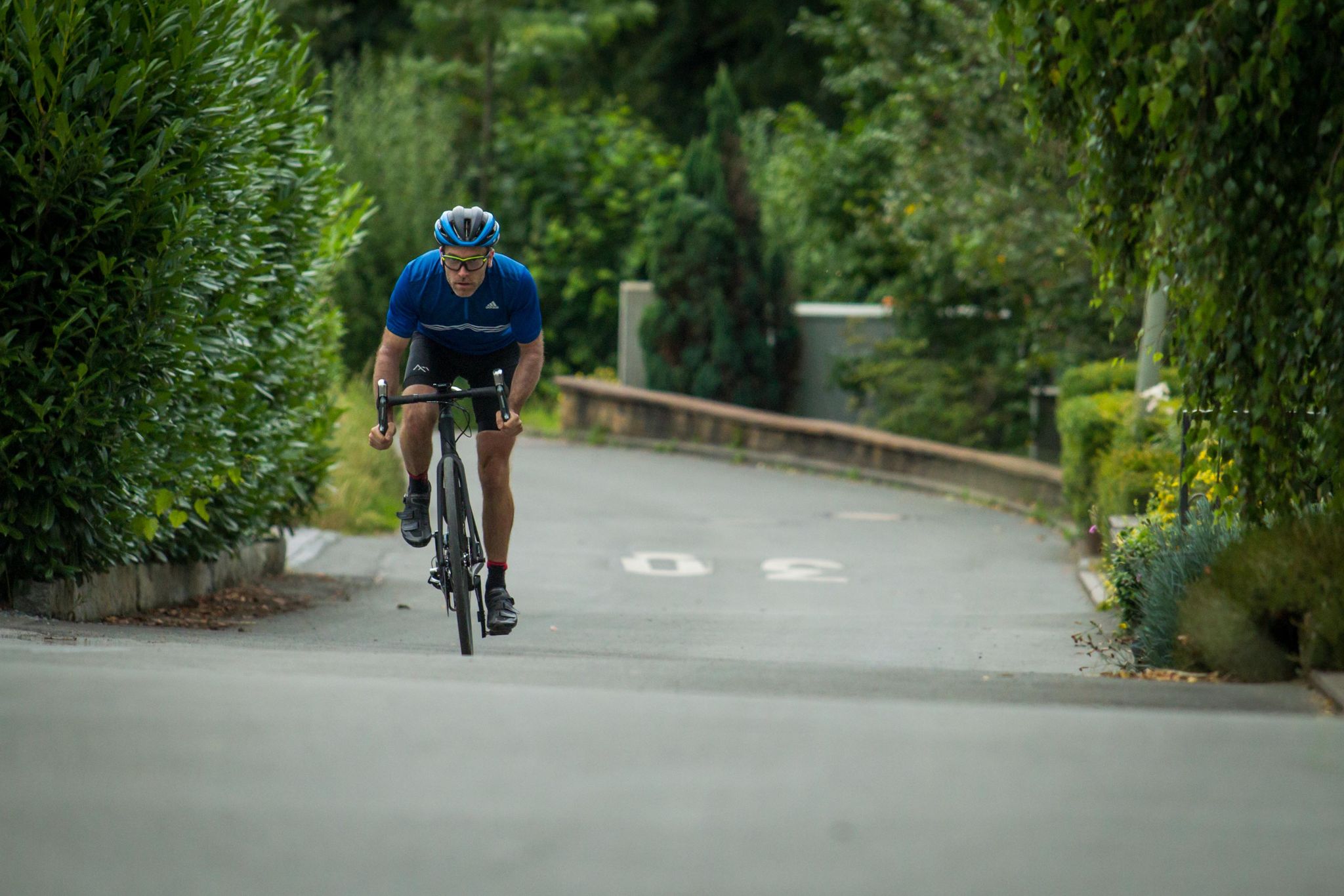
Who needs the Alps? 8 great climbs around Germany
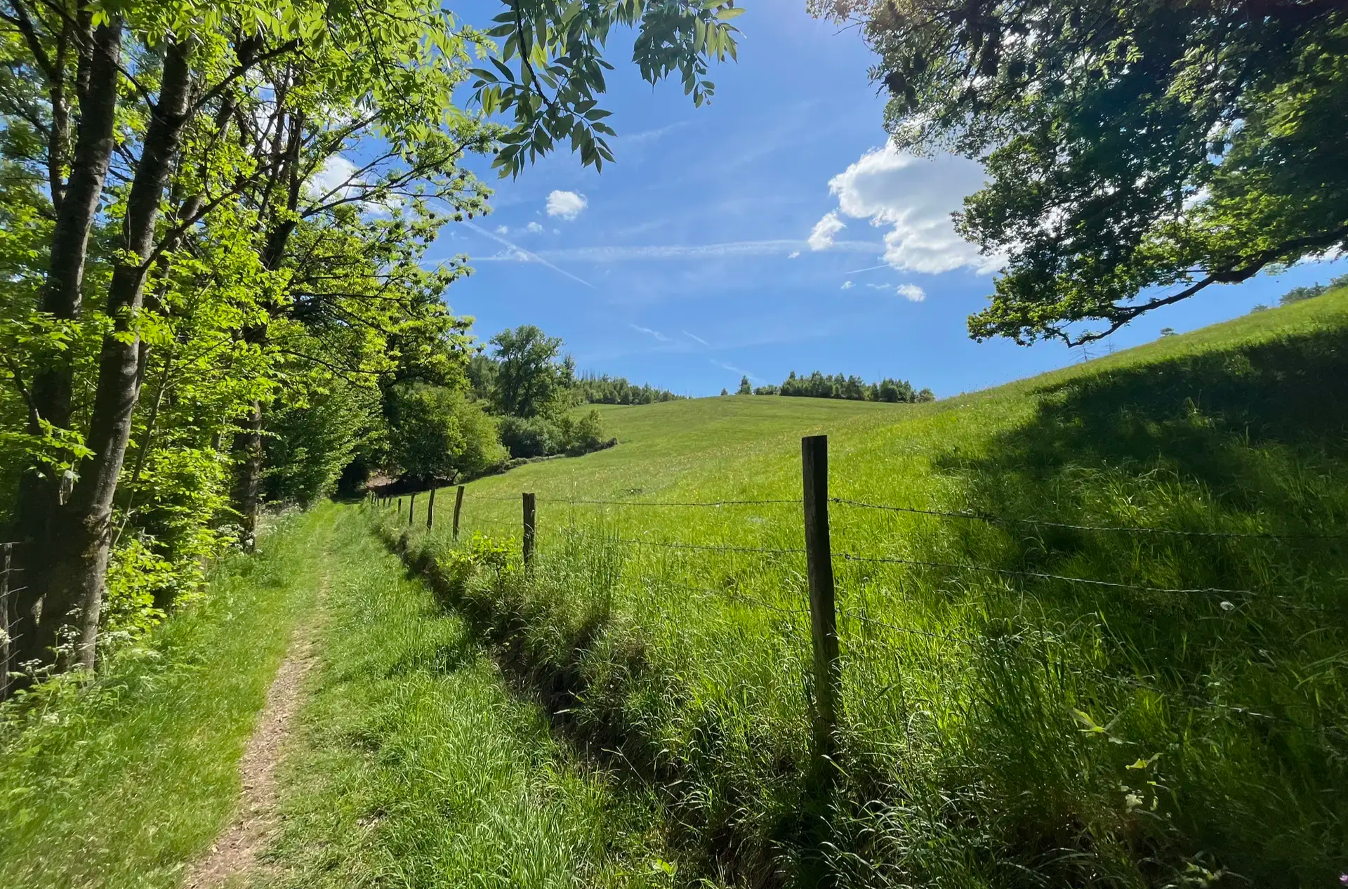
Wasser, Wald und Weitblick – Aktivtouren im Bergischen Land
Other adventures around Gummersbach


Tips from the Community

View was almost overgrown, but it's always nice to be able to rest for a bit.
0
0


The map and description show the peninsula of the Aggertalsperre, not the Genkel. The Genkeltalsperre is next door.
0
0

The path from the top of the Inselweg towards Bredenbruch doesn't provide a satisfactory view of the foreshore dam due to the bushes and trees. However, this was possible with the drone.
0
0
Magnificent view of the dam
0
0

Beautiful view from almost 350 m above sea level.
0
0

Beautiful view of the dam from the tip of the peninsula
1
0
From the tip of the peninsula you have a beautiful view of the dam wall and the tributaries of the reservoir.
1
0
Frequently Asked Questions
How many bus station hiking trails are available around Gummersbach?
There are over 280 hiking trails around Gummersbach that are easily accessible from bus stations. This includes a wide variety of routes, with approximately 186 easy trails, 93 moderate trails, and a few more challenging options.
Are there easy hiking trails accessible from bus stations in Gummersbach?
Yes, Gummersbach offers a great selection of easy hiking trails accessible directly from bus stops. For instance, the Spitze Peninsula – Circular route around the Aggertalsperre dam loop from Bredenbruch is an easy 6.7 km loop that provides beautiful waterside views.
What kind of natural features can I expect to see on bus station hikes in Gummersbach?
The bus station hikes around Gummersbach often feature the region's characteristic rolling hills, dense forests, and idyllic valleys. You'll frequently encounter scenic reservoirs like the Aggertalsperre, Bever Dam, and Genkel Reservoir. Some trails also lead to prominent viewpoints or along rivers like the Dümmer.
Are there any circular hiking routes starting from bus stations?
Absolutely. Many of the trails accessible by bus are circular routes, perfect for a day trip without needing to retrace your steps. The Spitze Peninsula – Circular route around the Aggertalsperre dam loop from Bredenbruch is a prime example of a popular circular trail.
What are some notable landmarks or viewpoints along these trails?
Hikers can discover several interesting landmarks and viewpoints. The Unnenberg peak offers expansive panoramic views. Other highlights include the "Kaiser Wilhelm" Viewpoint, and the scenic Aggertalsperre dam. You might also encounter unique geological features like Grauwacke quarries.
Are there family-friendly hiking options from Gummersbach bus stations?
Yes, Gummersbach has many family-friendly trails accessible by bus. These routes are generally shorter and have less elevation gain, making them suitable for all ages. The easy circular routes around the reservoirs are often a good choice for families.
Can I bring my dog on these bus station hiking trails?
Most hiking trails in the Bergisches Land Nature Park, including those accessible from Gummersbach bus stations, are dog-friendly. However, it's always recommended to keep dogs on a leash, especially in nature protection areas or near wildlife, and to be mindful of other hikers and local regulations.
What do other hikers enjoy most about hiking in Gummersbach?
The hiking experiences in Gummersbach are highly rated by the komoot community, with an average score of 4.5 out of 5 stars. Reviewers often praise the diverse landscapes, the well-maintained paths, and the serene beauty of the reservoirs and forests.
Are there any trails that offer views of the Bergisches Land from a bus station start point?
Yes, several routes provide stunning vistas of the Bergisches Land. For example, the Panoramic View of Bergisches Land – Viewpoint at Gummershardt loop from Oberbergischer Kreis is a moderate trail offering excellent scenic overlooks.
What are some interesting natural attractions to look out for near the trails?
Beyond the main trails, you can explore fascinating natural attractions. Consider visiting the Enchanted Valley of the Rönsahl Stream or the Othetal Valley. Some routes might also pass by unique features like Tree Roots at the Quarry near Pentinghausen.
Are there any places to rest or get refreshments along the bus station routes?
While specific amenities vary by route, the region has several huts and inns. For example, the Spinne Rest Area and Schorsch's Panoramic Hut at the Blockhaus are popular spots. Many trails also pass through or near villages where you can find cafes or pubs.
What is the best time of year to hike from Gummersbach bus stations?
Gummersbach offers great hiking opportunities year-round. Spring brings blooming nature, summer provides lush green landscapes, and autumn showcases vibrant fall colors. Even in winter, with appropriate gear, the snow-covered scenery can be very picturesque, especially around the reservoirs.
Most popular routes around Gummersbach
Most popular attractions around Gummersbach

Get inspired with the komoot mobile app


Explore more
Browse the best Hikes in other regions.
