Easy hikes and walks in Katy Trail State Park
4.7
(38)
566
hikers
98
hikes
Easy hiking trails in Katy Trail State Park follow the longest developed rail-trail in the United States, spanning 240 miles across central Missouri. The terrain is predominantly flat, consisting of packed crushed limestone, making it ideal for accessible hiking. The region features diverse landscapes, including sections along the Missouri River, towering limestone bluffs, and varied ecosystems of forests, wetlands, and open farmland.
Best easy hiking trails in Katy Trail State Park
- The most popular easy hiking route is Katy Trail:…
Last updated: May 12, 2026
1.68km
00:33
90m
70m
Hike the easy 1.0-mile Grand Bluffs Conservation Area trail for panoramic views of the Missouri River valley from 300-foot bluffs.
6.23km
01:34
10m
10m
Hike a serene section of the Katy Trail between Dutzow and Marthasville, where canopies of trees create "chapel-like arches" overhead. This easy 3.9-mile (6.2 km) route offers gentle views of…

Sign up for free
5.59km
01:25
10m
10m
Embark on an easy hike along the Katy Trail from Marthasville to Peers, a 3.5-mile (5.6 km) section that takes about 1 hour and 24 minutes to complete. You'll experience…
643m
00:11
20m
20m
Hike the easy 0.4 mile Klondike Overlook Trail in Klondike Park for views of the Missouri River Valley and Quarry Lake.
940m
00:15
0m
10m
Embark on an easy hike along the Lewis & Clark Trail, a gentle route spanning 0.6 miles (0.9 km) within Klondike Park. You will experience a pleasant walk through natural…
Get access to more routes and recommendations from other explorers.
Sign up for free
Already have an account?
Our route recommendations are based on thousands of hikes, rides, and runs completed by other people on komoot.
Start today with a free account
Your next adventure awaits.
Login or Signup


Tips from the Community

Known locally as “Devil’s Boot Cave,” this natural overhang carved in sandstone resembles the shape of a boot and stretches roughly 25 feet deep and wide, near Marthasville. Once used as a pioneer shelter and noted by local schools for nature trips, the site offers a little geological curiosity beside the trail—a hands-on reminder of Missouri’s limestone landscape and early frontier life. Great for a quick stop and photo op!
0
0

This scenic park on the banks of the Misouri River has about 4 miles of natural surface and paved trails. The MTB trails are mainly short but fun and challenging runs that can be ridden multiple times if you use the pavement and connector trails between them.
0
0

This quarry was once a silica sand quarry and has transformed into a natural oasis. What sets this park apart is the presence of powdery white silica sand, previously extracted for glass production, visible throughout the area.
0
0
At this viewpoint, you are treated to expansive views of the Missouri River weaving through the picturesque wine country. The river serves as the boundary between St. Charles County and St. Louis County. Just below, you'll find the iconic Katy Trail, a route stretching all the way to Kansas City.
0
0
Frequently Asked Questions
How many easy hiking trails are available in Katy Trail State Park?
Katy Trail State Park offers a wide selection of easy hiking trails, with over 50 routes specifically categorized as easy. These trails are predominantly flat, following the former rail line, making them accessible for various fitness levels.
What is the typical terrain like on easy hikes in Katy Trail State Park?
The easy hiking trails in Katy Trail State Park are characterized by a predominantly flat surface of packed crushed limestone. As a rail-trail, it offers a smooth and consistent path, ideal for accessible hiking through diverse landscapes.
What natural features can I expect to see while hiking in Katy Trail State Park?
Hikers can enjoy stunning views of the Missouri River, particularly between Rocheport and McBaine. The trail also features towering limestone bluffs, varied ecosystems including forests and wetlands, and the impressive Big Burr Oak Tree near McBaine.
Are there any notable landmarks or historical sites along the easy hiking trails?
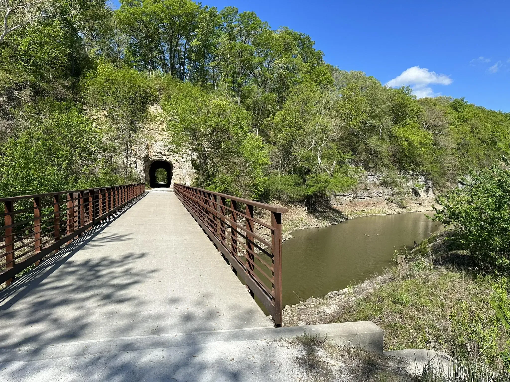
Yes, the trail is rich with historical features. You can explore the 240-foot Rocheport Tunnel, the only one of its kind on the Katy Trail, and pass by several restored historic railroad depots. Unique art installations like Boathenge also add unexpected points of interest.
What is the best time of year to enjoy easy hikes in Katy Trail State Park?
The Katy Trail is enjoyable year-round, but spring and fall are particularly popular. Spring brings flowering dogwoods and redbuds, while fall offers vibrant foliage. The packed crushed limestone surface generally remains accessible in most weather conditions.
Are the easy hiking trails in Katy Trail State Park suitable for families with children?
Absolutely. The flat, wide, and well-maintained surface of the Katy Trail makes it very family-friendly. The easy routes, such as Klondike Overlook Trail, are perfect for children and offer a safe environment for outdoor exploration.
Can I bring my dog on the easy hiking trails in Katy Trail State Park?
Yes, dogs are generally welcome on the Katy Trail State Park trails, provided they are kept on a leash. It's a great way to enjoy the outdoors with your canine companion on the easy, flat paths.
What do other hikers enjoy most about hiking in Katy Trail State Park?
The area is highly rated by the komoot community, with an average score of 4.7 stars. Reviewers often praise the trail's accessibility, the scenic views of the Missouri River, and the historical points of interest along the way. The flat terrain is frequently highlighted as a major benefit for easy hiking.
Are there any short, easy routes that offer good views?
For a shorter, scenic option, consider the Lewis & Clark Trail. While not a loop, it provides an easy walk with historical context and views, typical of the rail-trail experience.
Where can I find parking for easy trail access in Katy Trail State Park?
The Katy Trail has 26 trailheads, many of which offer dedicated parking facilities, making access to easy sections convenient. Towns along the trail, such as Rocheport, also provide parking options near trail access points.
What kind of wildlife might I encounter on easy hikes?
The diverse ecosystems along the Katy Trail, including forests, wetlands, and open farmland, support various wildlife. Hikers might spot deer, various bird species, and smaller mammals. The Missouri River sections can also offer opportunities for birdwatching.
Are there towns or amenities near the easy hiking sections of the Katy Trail?
Yes, the Katy Trail connects over 20 towns, many of which offer amenities like cafes, restaurants, and accommodations. These charming towns provide convenient stops for refreshments or a break during your easy hike. For example, the section from Dutzow to Marthasville passes near several such communities.
Can I connect to other trails from the Katy Trail?
Yes, the Katy Trail offers connections to other routes. A significant junction is Hindman Junction, where you can connect to the MKT trail, allowing for extended exploration of the region's trail network.
Most popular routes in Katy Trail State Park
Most popular attractions in Katy Trail State Park

Get inspired with the komoot mobile app


