The best running trails in Katy Trail State Park
5.0
(2)
1,040
runners
12
runs
Jogging in Katy Trail State Park offers a unique experience along the longest developed rail-trail in the United States. The terrain is predominantly flat with a crushed limestone surface, making it suitable for various fitness levels. The routes follow the Missouri River, providing views of bluffs and diverse ecosystems including forests, wetlands, and open farmland. This region is characterized by its natural beauty and historical significance as a former railroad corridor.
Best jogging routes in Katy Trail State Park
- The most popular jogging route is Katy Trail, an 8.3 miles (13.3 km) trail that takes 1 hour 36 minutes to complete. This moderate route offers scenic views along the Missouri River.
- Another top favourite among local runners is Boschert Greenway, a difficult 14.6 miles (23.5 km) path. This route features varied terrain and diverse natural settings.
- Local runners also love the Katy Trail, a 15.1 miles (24.3 km) trail leading through historical landscapes, often completed in about 2 hours 55 minutes.
- Jogging in Katy Trail State Park is defined by its flat, crushed limestone paths, Missouri River views, and limestone bluffs. The network offers options for different ability levels, from moderate to more challenging distances.
- The routes in Katy Trail State Park are highly rated by the komoot community with an average score of 5.0 stars from 5 reviews. More than 1000 runners have used komoot to explore Katy Trail State Park's varied terrain.
Last updated: August 17, 2026
9
runners
13.3km
01:36
20m
20m
Jog this moderate 8.3-mile section of the Katy Trail in Missouri, featuring crushed limestone paths and scenic views of forests and the Miss
2
runners
24.3km
02:56
40m
40m
Jog the difficult 15.1-mile Katy Trail in Katy Trail State Park, gaining 133 feet in elevation through diverse natural scenery.

Sign up for free
5.92km
00:43
100m
100m
This moderate 3.7-mile jogging loop in Klondike Park offers 322 feet of elevation gain and views of the Missouri River.
10.5km
01:16
20m
20m
Jogging the Katy Trail from Matson to Klondike Park offers a moderate 6.5-mile route with scenic river views and unique quarry lakes.
3.49km
00:24
70m
90m
This easy 2.2-mile (3.5 km) jogging loop in Klondike Park combines rugged bluffs with flat river views along the Katy Trail.
Get access to more routes and recommendations from other explorers.
Sign up for free
Already have an account?
Our route recommendations are based on thousands of hikes, rides, and runs completed by other people on komoot.
Start today with a free account
Your next adventure awaits.
Login or Signup
Popular around Katy Trail State Park
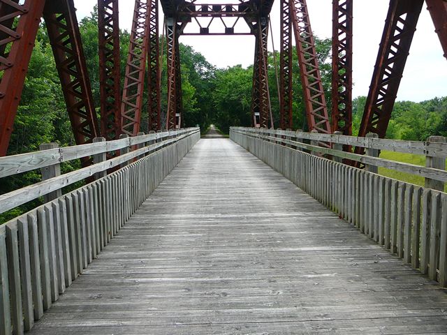
The Katy Trail – Pedaling Missouri's historic railbed
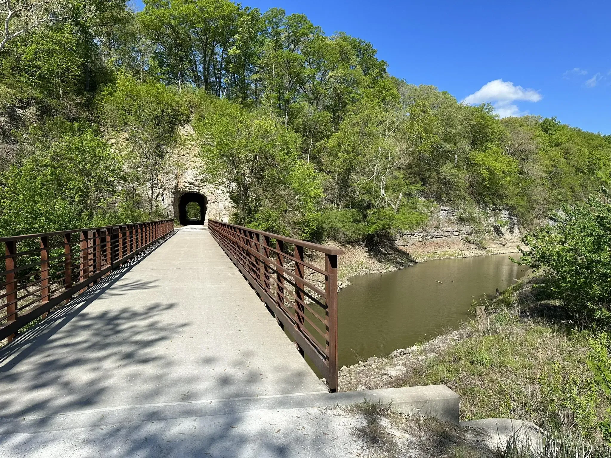
Katy Trail — From steel rails to scenic trails
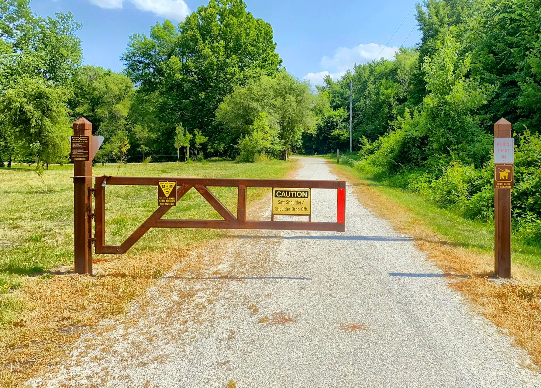
Rock Island Trail — Walking through railroad history
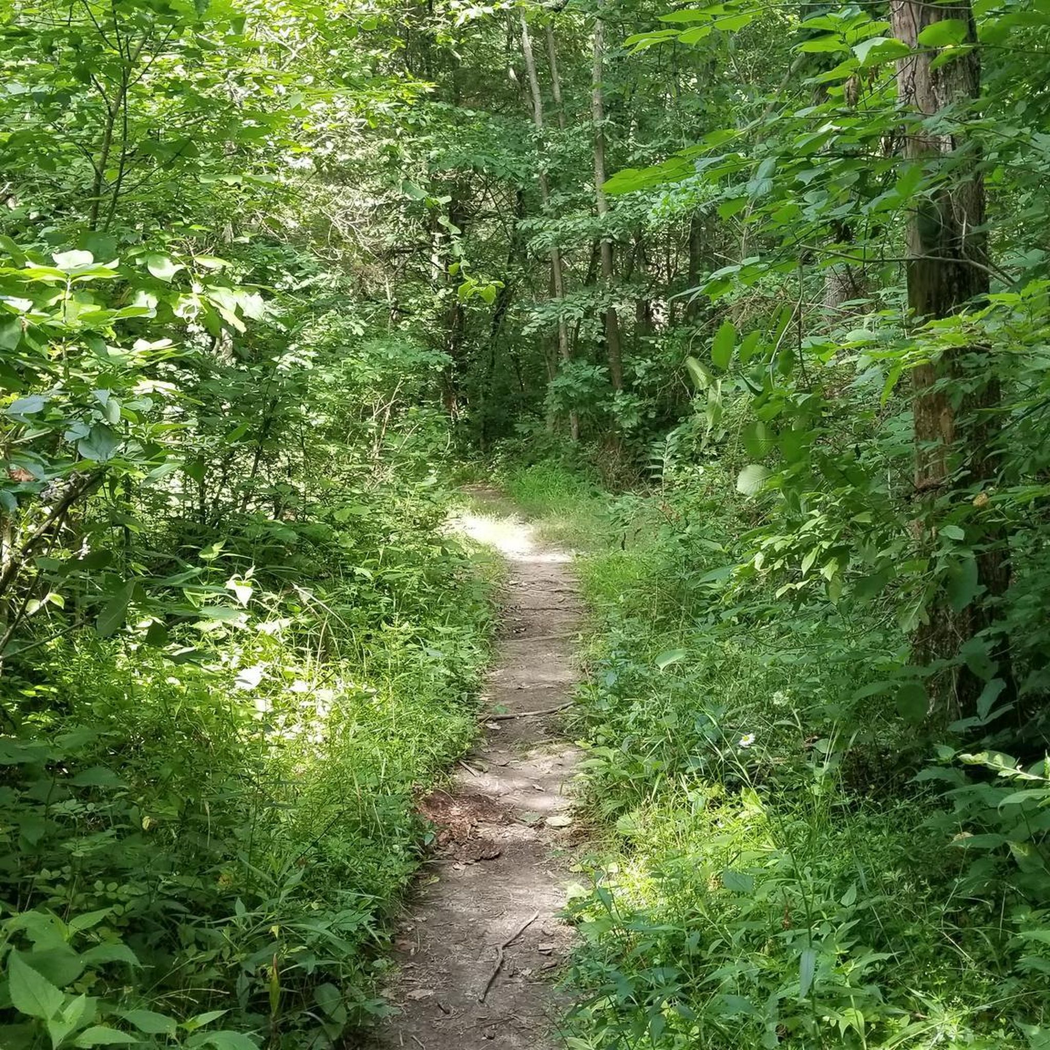
Hiking in Katy Trail State Park
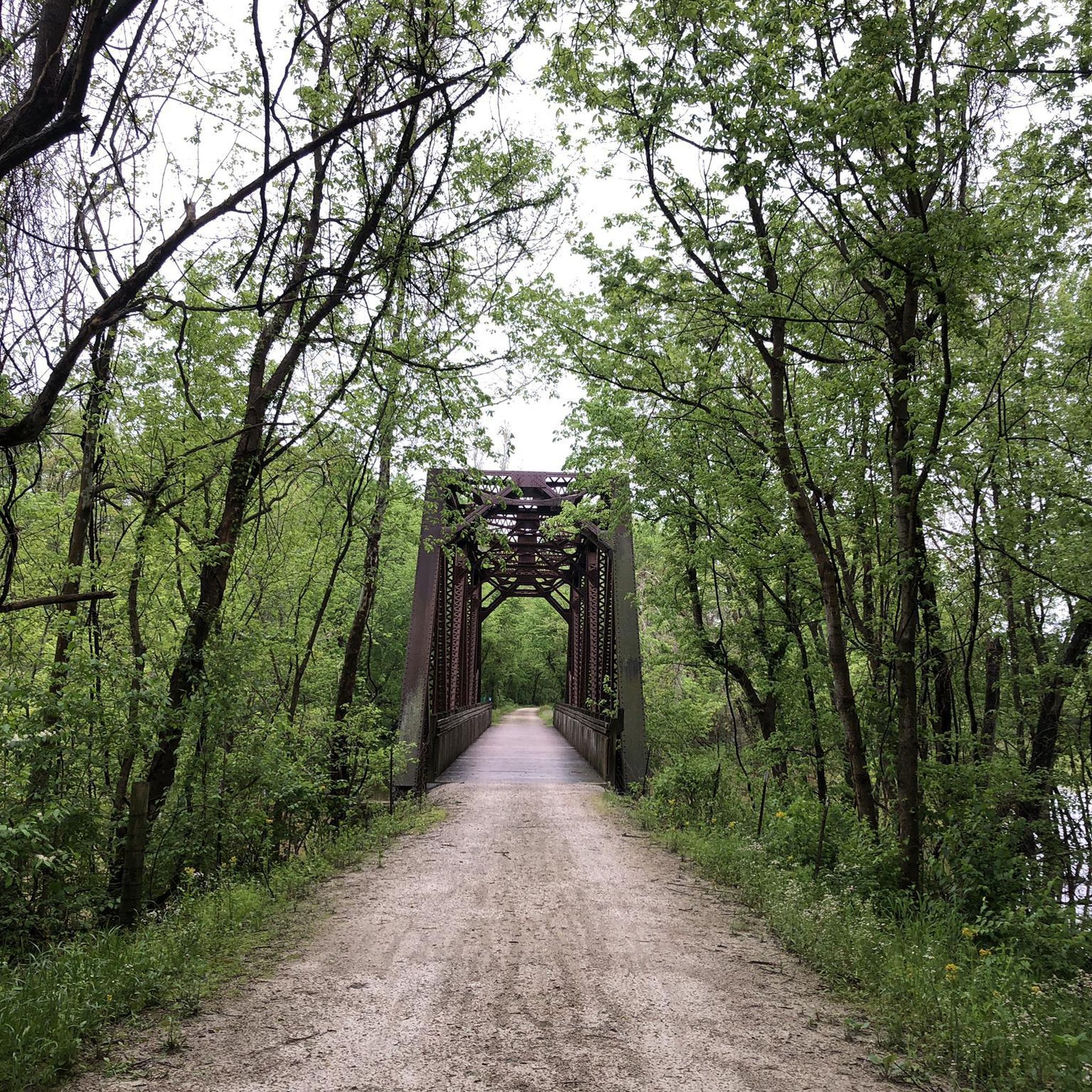
Road Cycling Routes in Katy Trail State Park
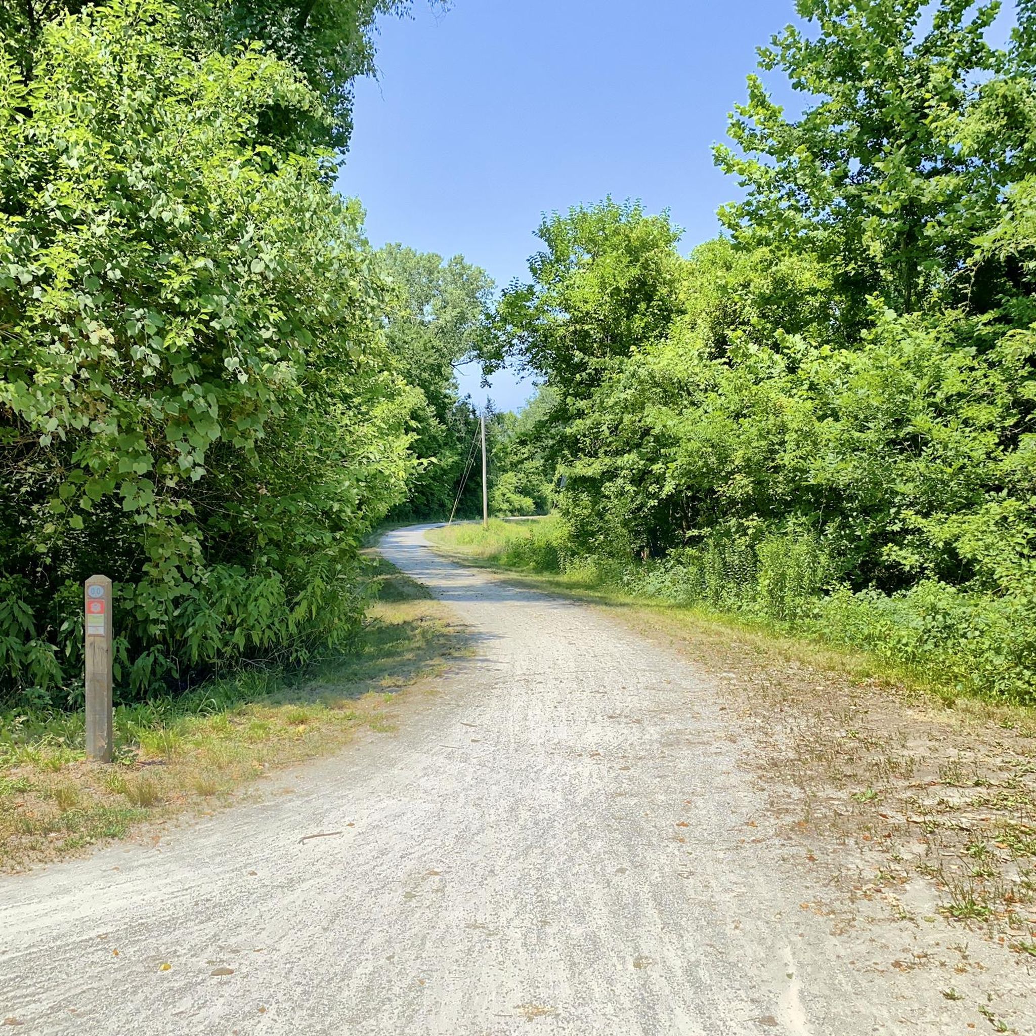
Cycling in Katy Trail State Park

MTB Trails in Katy Trail State Park
Gravel biking in Katy Trail State Park


Tips from the Community

This section of the Katy Trail extends from Greens Bottom Road to Missouri Research Trail. Here, you'll discover a shady, compact gravel road with views of the Missouri River.
0
0
Klondike Park, nestled alongside the Missouri River near Katy Trail State Park, was a former silica sand quarry, now restored by St. Charles County Parks. Enjoy stunning views of the Missouri River from its bluffs. The park offers numerous camping sites and is known for its powdery white silica sand, once used for glass production. The Lewis and Clark Expedition also passed through this area.
0
0
The Hogsback Trail is a wooded path that provides views of the Missouri River. The trail features ample shade and can be a bit rocky. It tends to have heavy foot traffic. This is a great trail for families.
0
0
The Katy Trail from Matson to Augusta offers mostly shaded paths, providing views of bluffs, wooden bridges, and glimpses of Klondike Park and the surrounding rural area along the way.
0
0
This segment of the Katy Trail runs between Defiance and Matson, shadowing Highway 94 and featuring multiple wooden bridge crossings. This part of the trail offers partial shade and treats you to glimpses of bluffs and cornfields along the way.
0
0
This section of the Katy Trail extends from Greens Bottom Road to Missouri Research Trail. Here, you'll discover a compact gravel road shaded with views of the Missouri River.
0
0

In total, the Missouri Research Park Trail is just under 5 miles long. There is a wooden bridge/boardwalk here next to the Missouri Bluffs golf course that is a pretty unique part of the trail.
0
0
Augusta is a historic town nestled among rolling hills on the Missouri River bluffs. Incorporated in 1855, it proudly holds the distinction of being America's first designated wine region, recognized by the Federal Government in 1980—preceding even Napa and Sonoma! Known for its quaint charm and historic sites, Augusta stands as one of the most popular stops along the Katy Trail. Here, visitors can easily hop on or off the trail to discover wineries, a brewery, restaurants, a coffee shop, antiques, specialty stores, and relaxing B&Bs.
0
0
Frequently Asked Questions
How many running routes are available in Katy Trail State Park?
Katy Trail State Park offers over 90 running routes. These include 7 easy routes, 65 moderate routes, and 18 more challenging options, ensuring there's a path for every fitness level.
What is the typical terrain like for jogging in Katy Trail State Park?
The terrain is predominantly flat with a crushed limestone surface, often referred to as "limestone pug." This consistent, hard surface makes it ideal for running, walking, and cycling, providing a smooth and stable experience.
Are there any easy or beginner-friendly running routes in the park?
Yes, the park is very beginner-friendly due to its flat, crushed limestone surface. There are 7 routes specifically rated as easy. Many sections of the Katy Trail itself offer gentle, accessible running experiences.
What kind of natural features and scenic views can I expect while running?
You'll encounter diverse landscapes, including dramatic views of the Missouri River, towering limestone bluffs (especially near Rocheport), forests, wetlands, and open farmland. The trail also meanders through areas shaded by deciduous trees like dogwoods, redbuds, maples, oaks, and hickories.
Are there any historical landmarks or points of interest along the running trails?
Absolutely! The trail is rich in history. You can see four fully restored railroad depots, the 1872 Rocheport Tunnel, and quirky landmarks like Boathenge. The trail itself is built on the former Missouri-Kansas-Texas (Katy) Railroad corridor, and portions are part of the Lewis and Clark National Historic Trail.
Can I bring my dog on the running trails in Katy Trail State Park?
Yes, dogs are generally welcome on the Katy Trail State Park trails. However, it's always recommended to keep them on a leash and ensure you clean up after them to maintain a pleasant experience for all users.
Are there any circular running routes available?
While the Katy Trail itself is linear, connecting over 20 towns, some sections or adjacent trails offer loop opportunities. For example, the Hogsback Trail Loop provides a moderate 5.9 km circular option with some elevation changes.
What is the best time of year to go jogging in Katy Trail State Park?
The trail is enjoyable year-round, but spring and fall offer particularly pleasant conditions with mild temperatures and beautiful foliage. Spring brings blooming dogwoods and redbuds, while fall showcases vibrant autumn colors. Summer can be warm, so early mornings or late afternoons are often preferred.
Are there towns or amenities accessible directly from the trail for runners?
Yes, the Katy Trail connects over 20 charming towns, many of which offer amenities like wineries, restaurants, bed-and-breakfasts, and shops. These towns provide convenient stopping points for refreshments or breaks during your run.
What do other runners enjoy most about jogging in Katy Trail State Park?
The area is highly rated by the komoot community, with an average score of 5.0 stars from 5 reviews. Runners frequently praise the trail's flat, well-maintained crushed limestone surface, the stunning Missouri River views, and the peaceful, car-free environment that makes for an exceptional running experience.
Where can I find parking near the running trails?
Parking is available at numerous trailheads along the Katy Trail. Many of the towns connected by the trail, such as Rocheport, provide designated parking areas for trail users, making access convenient for runners.
Are there any routes that offer a more challenging running experience?
Yes, while much of the trail is flat, there are more challenging options. For instance, the Boschert Greenway is a difficult 23.5 km route featuring varied terrain and diverse natural settings, offering a good workout for experienced runners.
Most popular routes in Katy Trail State Park
Most popular attractions in Katy Trail State Park

Get inspired with the komoot mobile app


