Easy hikes and walks around Altiplano
4.4
(1057)
4,412
hikers
109
hikes
Easy hiking trails around Altiplano traverse a high-altitude plateau characterized by extreme geography and diverse natural features. The region's terrain includes vast salt flats, vividly colored lagoons, and high-altitude deserts. Hikers encounter landscapes shaped by volcanic activity and wind-sculpted rock formations.
Best easy hiking trails around Altiplano
- The most popular easy hiking route is Chícamo River Canyon Loop, a 4.3 miles (6.9 km) trail that takes 1 hour 58 minutes to complete, offering views of a river canyon.
- Another…
Last updated: August 17, 2026
4.4
(21)
63
hikers
6.85km
01:58
180m
180m
Easy hike. Great for any fitness level. Easily-accessible paths. Suitable for all skill levels.
2.8
(6)
26
hikers
Easy hike. Great for any fitness level. Easily-accessible paths. Suitable for all skill levels.

Sign up for free
4.3
(11)
75
hikers
Easy hike. Great for any fitness level. Easily-accessible paths. Suitable for all skill levels.
3.0
(2)
7
hikers
6.63km
01:47
90m
90m
Easy hike. Great for any fitness level. Easily-accessible paths. Suitable for all skill levels.
5.0
(4)
11
hikers
3.39km
00:59
90m
80m
Easy hike. Great for any fitness level. Easily-accessible paths. Suitable for all skill levels.
4.0
(29)
8
hikers
7.05km
01:54
90m
90m
Easy hike. Great for any fitness level. Easily-accessible paths. Suitable for all skill levels.
3.0
(1)
10
hikers
4.99km
01:18
40m
40m
Easy hike. Great for any fitness level. Easily-accessible paths. Suitable for all skill levels.
5.0
(1)
7
hikers
5.40km
01:34
150m
150m
Easy hike. Great for any fitness level. Easily-accessible paths. Suitable for all skill levels.
4.0
(1)
10
hikers
5.81km
01:39
120m
120m
Easy hike. Great for any fitness level. Easily-accessible paths. Suitable for all skill levels.
5.0
(1)
6
hikers
6.66km
01:46
60m
60m
Easy hike. Great for any fitness level. Easily-accessible paths. Suitable for all skill levels.
Get access to more routes and recommendations from other explorers.
Sign up for free
Already have an account?
Our route recommendations are based on thousands of hikes, rides, and runs completed by other people on komoot.
Start today with a free account
Your next adventure awaits.
Login or Signup
Popular around Altiplano

Easy hikes in El Puerto

Easy hikes in Humedal De Ajauque Y Rambla Salada

Easy hikes in Sierra Del Carche

Easy hikes in Zepa Estepas De Yecla
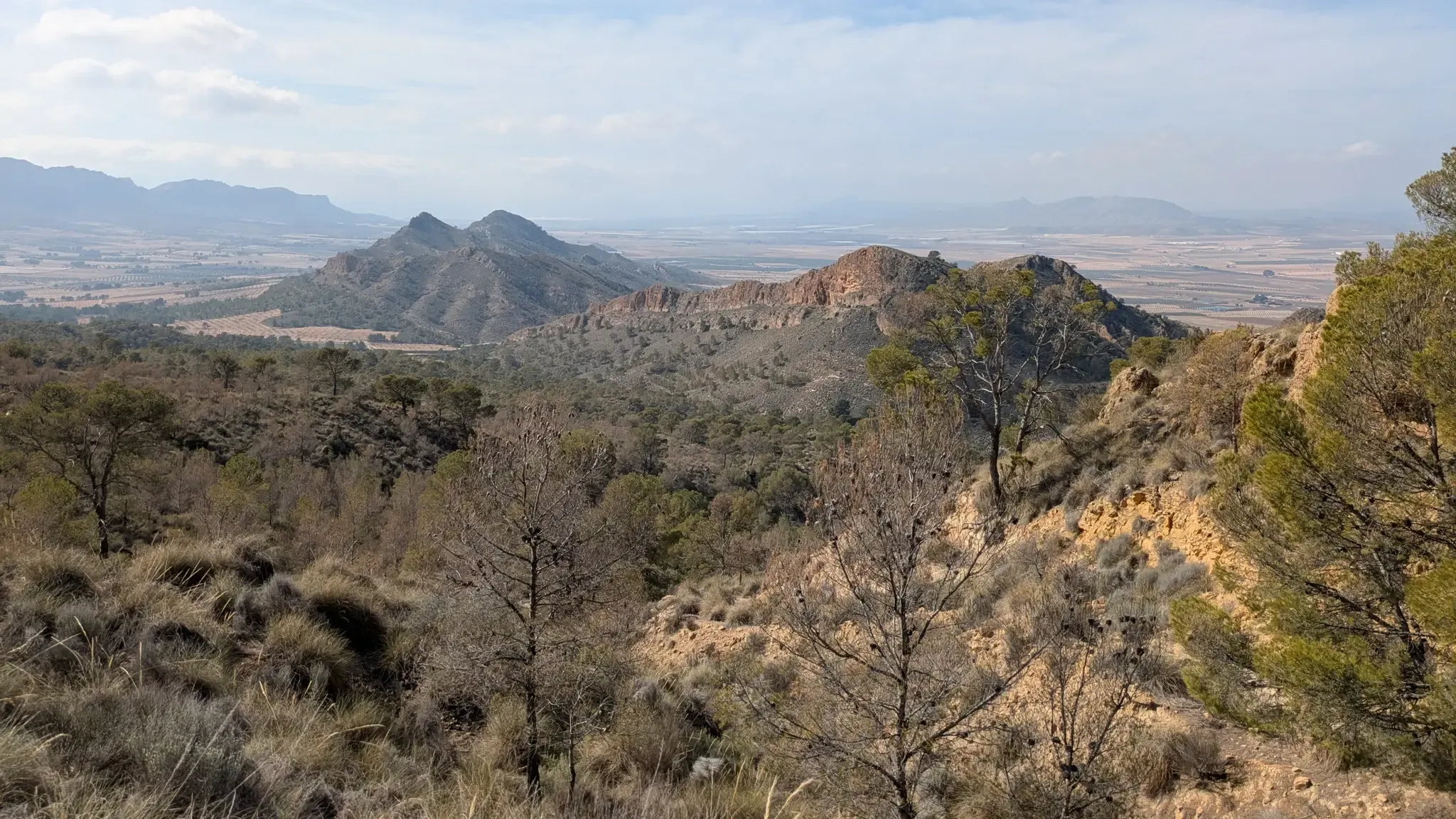
Path of the Cross of the Altiplano – GR 251
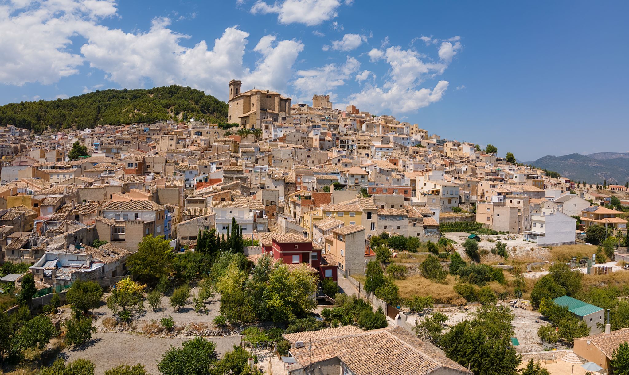
Castles, plains and charming villages – Murcia on foot (GR 7)

On the road to the sun — bikepacking to southeast Spain
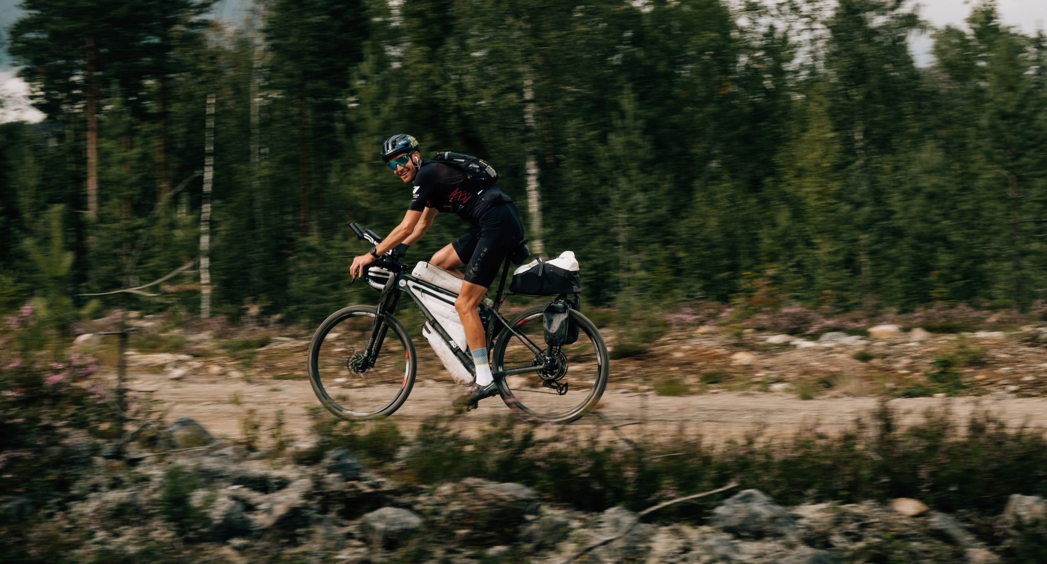
European D̶I̶V̶I̶D̶E̶ Connect Trail Project – a journey across Europe
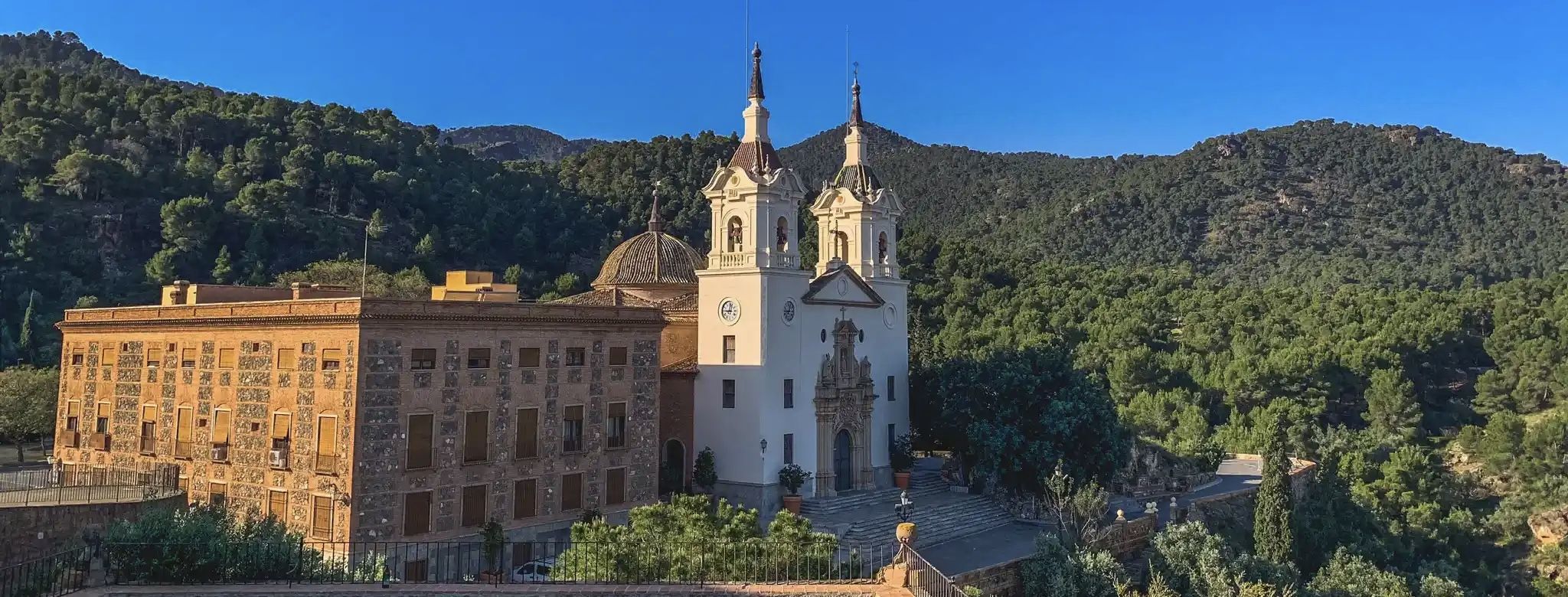
A ride through the "Huerta de Europa" – Transmurciana on MTB

Let’s head south – cycle in Andalusia with me and my dog
Other adventures around Altiplano


Tips from the Community

The Church of Santiago, also known as the Main Parish Church of Jumilla, is one of the most important architectural and religious monuments in the city and the Region of Murcia. It has been a National Monument since 1931. It is the first church with a large dome over a crossing built in the Diocese of Cartagena, making it an architectural landmark of the region. The church is particularly noteworthy because it combines several styles, the result of a long construction process between the 15th and 18th centuries.
1
0
An impressive cave that is a perfect shelter to rest during the hike.
5
0

A small highlight for inexperienced hikers who "only" want to go to the entrance of the gorge. Small wooden bridges have been built for the few river crossings, so that you can reach the gorge without getting wet shoes
2
1
The entrance to the Sierra del Carche Regional Park is an access point to an exceptional natural environment in the Region of Murcia, specifically in the northeastern quadrant. The Sierra del Carche offers hiking routes that allow you to explore its natural beauty. From the entrance to the park, you can enter paths surrounded by vegetation, enjoy panoramic views and discover the richness of its fauna and flora.
3
0

Many historical petroglyphs can be seen on large rock slabs. Very impressive when you imagine that people tried to immortalize themselves here many, many thousands of years ago.
1
0

Fun to do in September and October, water fun guaranteed
1
0

Definitely wear sturdy shoes and be prepared to get wet even when the river is very low. It was a beautiful hike though.
2
1

Jumilla is a city in Murcia known for its wines (DOP Jumilla) and pears. Its historic center is worth a visit: declared a Historical-Artistic Site, it offers numerous religious and civil heritage. Among the monuments, the following stand out: the church of Santiago, the castle located on a hill, the old Council palace, the Vico Theater and much more.
2
0
Frequently Asked Questions
How many easy hiking trails are available in Altiplano?
There are 29 easy hiking trails around Altiplano, offering diverse landscapes from salt flats to high-altitude deserts. In total, the region features 87 hiking routes for various ability levels.
What kind of terrain can I expect on easy hikes in Altiplano?
Easy hikes in Altiplano traverse a unique high-altitude plateau. You can expect to encounter vast salt flats, vividly colored lagoons, and high-altitude deserts. Many routes feature landscapes shaped by volcanic activity and wind-sculpted rock formations, offering a surreal and dramatic experience.
What is the best time of year to go hiking in Altiplano?
The Altiplano experiences distinct dry and wet seasons. The dry season (typically May to November) is generally considered the best time for hiking, offering clearer skies and less rain. However, be prepared for extreme cold and wind, especially at higher altitudes, regardless of the season. Acclimatization to the high altitude is crucial.
Are there any unique natural features to see on easy hikes in Altiplano?
Yes, the Altiplano is famous for its extraordinary natural features. You might encounter the surreal expanse of the Salar de Uyuni, vividly colored lagoons like Laguna Colorada (red) and Laguna Verde (green), and unique rock formations in high-altitude deserts. Some trails also lead to thermal springs, such as those near Los Baños de Fortuna.
Are there easy circular hiking routes in Altiplano?
Yes, there are several easy circular routes. For example, the Chícamo River Canyon Loop is a popular 4.3-mile (6.9 km) trail. Another option is the Piedra del Corazón – Horadada Cave of Monte Arabí loop from Monumento Natural Monte Arabí, which is also around 4.3 miles (6.9 km) and explores unique rock formations.
Are the easy trails in Altiplano suitable for families?
Many easy trails in Altiplano are suitable for families, offering manageable distances and minimal elevation gain. However, due to the region's high altitude, it's essential to consider acclimatization for all family members, especially children. Always check the specific trail details for suitability and be prepared for varying weather conditions.
Can I bring my dog on easy hikes in Altiplano?
While some areas may permit dogs, regulations can vary, especially within national parks or protected reserves where wildlife is abundant. It's best to check local guidelines for specific trails or protected areas before bringing your dog. Always ensure your dog is leashed and that you clean up after them.
What do other hikers say about the easy trails in Altiplano?
The easy trails in Altiplano are highly rated by the komoot community, with an average score of 4.4 stars from over 250 reviews. Hikers often praise the unique and dramatic landscapes, the sense of solitude, and the opportunity to experience the region's distinct natural beauty.
Are there any interesting landmarks or cultural sites along easy hiking trails?
While many easy trails focus on natural beauty, the broader Altiplano region is rich in cultural and archaeological sites. For instance, the pre-Inca site of Tiwanaku in Bolivia or Isla del Sol on Lake Titicaca offer historical insights. Some trails might pass near local villages or historical structures, such as the Castle of Yecla loop from Yecla.
Are there opportunities to see wildlife on easy hikes in Altiplano?
Yes, the Altiplano is home to unique high-altitude wildlife. On easy hikes, you might spot llamas, alpacas, guanacos, and vicuñas. The colorful lagoons are particularly famous for hosting various bird species, including flamingos. Keep an eye out for viscachas (a type of rodent) and various raptors.
Where can I find parking for easy hiking trails in Altiplano?
Many trailheads for easy hikes in Altiplano, especially those near towns or popular attractions, offer designated parking areas. For example, the Parking Area – View of Sierra del Carche loop from La Yedra explicitly starts from a parking area. It's advisable to check the specific route details on komoot for parking information before you go.
Are there any easy trails that include thermal baths?
Yes, you can find easy trails that incorporate thermal baths. The Walk through the Albanilla desert and the thermal baths of Fortuna is an easy 2.9-mile (4.7 km) path that explores desert landscapes and includes access to thermal springs, offering a relaxing end to your hike.
Most popular routes around Altiplano
Most popular attractions around Altiplano

Get inspired with the komoot mobile app


Didn’t find what you were looking for?
Check out more Hikes throughout Altiplano below and find the perfect route in your destination.
Explore more
Browse the best Hikes in other regions.
