The best traffic-free bike rides around Altiplano
4.3
(3)
90
riders
16
rides
Gravel biking around the Altiplano region offers a unique experience across a vast high-altitude plateau, averaging 3,750 meters above sea level. This landscape is characterized by expansive salt flats like Salar de Uyuni, vibrant colored lagoons, and rugged volcanic terrain. Dirt tracks and open plains provide varied surfaces for no traffic gravel bike trails, set against a backdrop of Andean mountain ranges. The clear, luminous air at high altitudes enhances the visual experience of this dramatic scenery.
Best no traffic…
Last updated: July 7, 2026
12
riders
102km
06:40
420m
420m
Hard gravel ride. Very good fitness required. Mostly paved surfaces. Suitable for all skill levels.
5
riders
34.4km
02:21
630m
630m
Hard gravel ride. Very good fitness required. Mostly paved surfaces. Suitable for all skill levels.

Sign up for free
3.5
(2)
10
riders
24.3km
01:35
70m
70m
Easy gravel ride. Great for any fitness level. Mostly paved surfaces. Suitable for all skill levels.
12
riders
Hard gravel ride. Very good fitness required. Mostly paved surfaces. Suitable for all skill levels.
6
riders
41.7km
03:35
650m
650m
Hard gravel ride. Very good fitness required. You may need to push your bike for some segments of this route.
Get access to more routes and recommendations from other explorers.
Sign up for free
Already have an account?
Our route recommendations are based on thousands of hikes, rides, and runs completed by other people on komoot.
Start today with a free account
Your next adventure awaits.
Login or Signup
Popular around Altiplano

Traffic-free bike rides around Fortuna

Traffic-free bike rides around Yecla

Traffic-free bike rides in Humedal De Ajauque Y Rambla Salada

Traffic-free bike rides around Jumilla

Traffic-free bike rides in Zepa Estepas De Yecla

Traffic-free bike rides in Sierra Del Carche

Traffic-free bike rides around Abanilla

On the road to the sun — bikepacking to southeast Spain
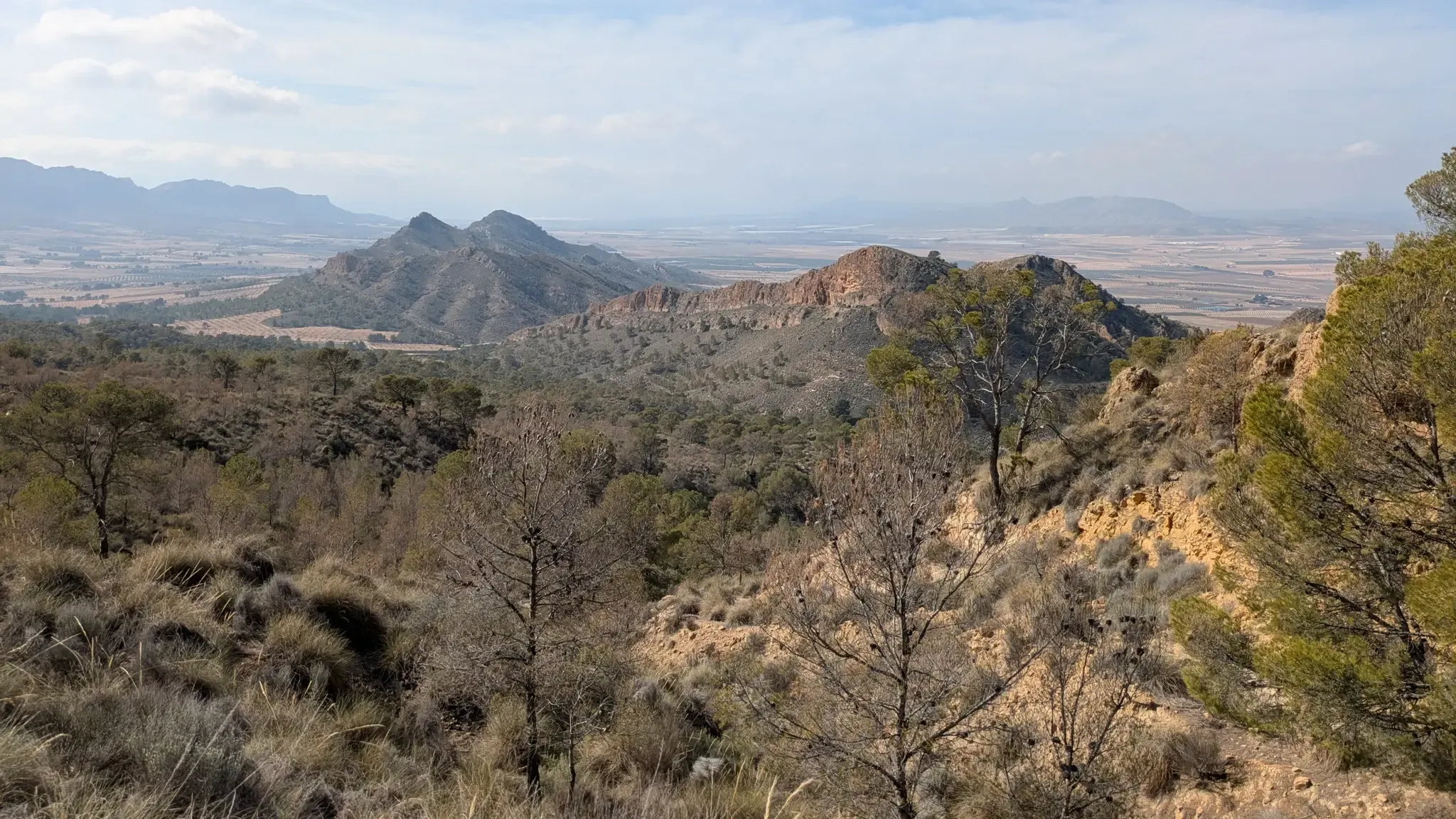
Path of the Cross of the Altiplano – GR 251
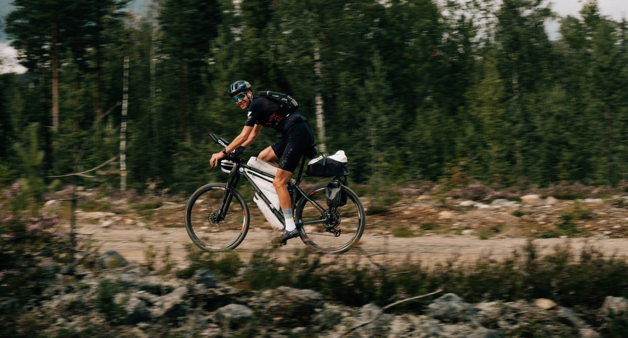
European D̶I̶V̶I̶D̶E̶ Connect Trail Project – a journey across Europe
Other adventures around Altiplano


Tips from the Community

Done by bike and by car. Fantastic region for cycling, little traffic outside the season. Highly recommended.
0
0

the dam is worth it as a destination - but here there are further single trails to explore
0
0
Architecturally beautiful dam - dare to climb over the wall to get to the other side, it's worth it
0
0

A manageable route from Alicante to the La Pedrera reservoir. You don't need to be in great shape, just able to handle the effort of covering the kilometers.
0
0

The hermitage is a prominent natural viewpoint, offering panoramic views of Caudete, the Vinalopó Valley, and on clear days, even the sea. It forms part of the official PR-AB-50 trail, a well-marked circular route of approximately 13.5 km and moderate difficulty (550 m to 1,153 m elevation gain), which allows hikers to enjoy panoramic views, Mediterranean vegetation, and a nearby historic snow well. The area is popular for hiking, mountain biking, and paragliding, with several notable routes.
4
0
The Hermitage of Santa Bárbara is located on the summit of the Sierra de la Oliva, also known as the Sierra Santa Bárbara, at an altitude of approximately 1,153 meters, about 5 kilometers southeast of Caudete. Built around 1580 at the initiative of the people of Caudete, following a period of severe storms with hail, the mountain peak was chosen as a place of spiritual protection, with the trust that Santa Bárbara would safeguard the crops and the population. Traditionally under the jurisdiction of the parish of Santa Catalina, the hermitage is visited every May 1st in a pilgrimage: pilgrims ascend steep paths in homage to the saint's martyrdom, reflecting sacrifice and devotion.
4
0

Frequently Asked Questions
What makes the Altiplano region unique for no-traffic gravel biking?
The Altiplano offers an unparalleled gravel biking experience due to its vast, high-altitude plateau, averaging 3,750 meters (12,300 feet) above sea level. You'll find dramatic landscapes, including the otherworldly Salar de Uyuni (the world's largest salt flat), vibrantly colored lagoons like Laguna Colorada, and surreal volcanic terrain. The sheer scale and remoteness provide a profound sense of adventure, with expansive dirt tracks and minimal vehicle traffic.
How many no-traffic gravel bike trails are available in the Altiplano region?
Currently, there are 9 curated no-traffic gravel bike trails listed for the Altiplano region. These routes range in difficulty, offering options for various skill levels to explore the unique high-altitude landscapes.
Are there any easy no-traffic gravel bike trails suitable for beginners in Altiplano?
Yes, there is one easy no-traffic gravel bike trail available: the Ociopía Park – Viewpoint of Orihuela loop from El Raal. This route is a great starting point for those new to gravel biking in the region, offering a less strenuous experience while still enjoying the outdoors.
What is the best time of year for gravel biking in the Altiplano?
The Altiplano experiences distinct seasons. Generally, the dry season (May to October) is considered the best time for gravel biking, offering clearer skies and more stable weather conditions. However, be prepared for cold temperatures, especially at night, due to the high altitude. The clear, luminous air during this period enhances the visual experience of the dramatic scenery.
What kind of natural attractions can I expect to see along the gravel bike trails?
The Altiplano's gravel trails often pass through breathtaking natural wonders. You might encounter areas like the Desierto de Abanilla, unique rock formations such as the Horadada Cave of Monte Arabí, or the Cueva del Lagrimal. The region is also known for its stunning viewpoints, like the Cortao de las Peñas, offering panoramic vistas of the high plateau.
Are there any challenging no-traffic gravel bike trails for experienced riders?
Absolutely. The Altiplano offers several challenging routes for experienced gravel bikers. Examples include the Puente Rojo – Murcia Río Riverside Walk loop from Beniel, the Castillo de Caudete – Santa Bárbara loop from Caudete, and the Water Source in Cotocuadros – Santomera Dam loop from Garita Altorreal. These routes feature significant elevation changes and longer distances, providing a demanding yet rewarding experience.
What do other gravel bikers enjoy most about the Altiplano trails?
The komoot community rates the Altiplano trails highly, with an average score of 4.2 stars. Reviewers often praise the immense, diverse, and surreal landscapes, the profound sense of adventure offered by the remoteness, and the unique experience of high-altitude cycling. The clear air and dramatic scenery are frequently highlighted as major draws.
Are there any circular no-traffic gravel bike loops in the Altiplano region?
Yes, many of the no-traffic gravel bike trails in the Altiplano are designed as circular loops, allowing you to start and end at the same point. For example, the Rodeo Caves – Stone Bridge of Rojales loop from Orihuela Miguel Hernández is a moderate circular route that takes you through varied terrain.
What kind of wildlife might I spot while gravel biking in the Altiplano?
Despite its arid and cold climate, the Altiplano supports unique ecosystems. While gravel biking, you might spot hardy flora like ichu grass and quinoa. The region is home to fascinating fauna such as llamas, alpacas, vicuñas, guanacos, and various bird species, including flamingos around the colored lagoons and the majestic Andean condor soaring overhead.
What should I consider regarding logistics and permits for gravel biking in the Altiplano?
Given the Altiplano's high altitude and remote nature, proper preparation is crucial. Always carry sufficient water, food, and emergency supplies. Be aware of the signs of altitude sickness and acclimatize properly. While specific permits for general gravel biking are not typically required, some protected areas or national parks might have entry fees or specific regulations. Always check local guidelines for the specific areas you plan to visit.
Are there any specific viewpoints or summits accessible via these trails?
Yes, the Altiplano region offers several impressive viewpoints and summits. You can find highlights such as the Geodetic Vertex of La Capilla, Pico de La Pila, and the El Carche Summit and Mountain Refuge. These spots provide incredible panoramic views of the vast Altiplano landscape and its surrounding mountain ranges.
Most popular routes around Altiplano
Most popular attractions around Altiplano

Get inspired with the komoot mobile app


Didn’t find what you were looking for?
Check out more Gravel rides throughout Altiplano below and find the perfect route in your destination.
Explore more
Browse the best Gravel rides in other regions.
