The best cycling routes around Kelsterbach
4.6
(232)
1,600
riders
24
rides
Touring cycling routes around Kelsterbach are primarily defined by the Main River and its extensive riverside paths, offering varied landscapes. The region features a network of routes along the Main and Nidda rivers, providing access to natural areas like Schwanheim Forest and Gundwiese Meadow. Predominantly paved surfaces ensure smooth rides, with some routes incorporating unpaved sections and views of the Frankfurt skyline and airport. The terrain is generally flat, with minimal elevation changes, making it suitable for a range of…
Last updated: October 5, 2026
4.6
(188)
1,204
riders
40.3km
02:24
110m
110m
Moderate bike ride. Good fitness required. Mostly paved surfaces. Suitable for all skill levels.
4.2
(19)
161
riders
Easy bike ride. Great for any fitness level. Mostly paved surfaces. Suitable for all skill levels.

4.6
(5)
31
riders
14.2km
00:53
40m
40m
Easy bike ride. Great for any fitness level. Mostly paved surfaces. Suitable for all skill levels.
4.2
(5)
18
riders
Easy bike ride. Great for any fitness level. Mostly paved surfaces. Suitable for all skill levels.
4.3
(6)
27
riders
21.0km
01:18
60m
60m
Easy bike ride. Great for any fitness level. Mostly paved surfaces. Suitable for all skill levels.
Get access to more routes and recommendations from other explorers.
Already have an account?
Our route recommendations are based on thousands of hikes, rides, and runs completed by other people on komoot.
Start today with a free account
Your next adventure awaits.
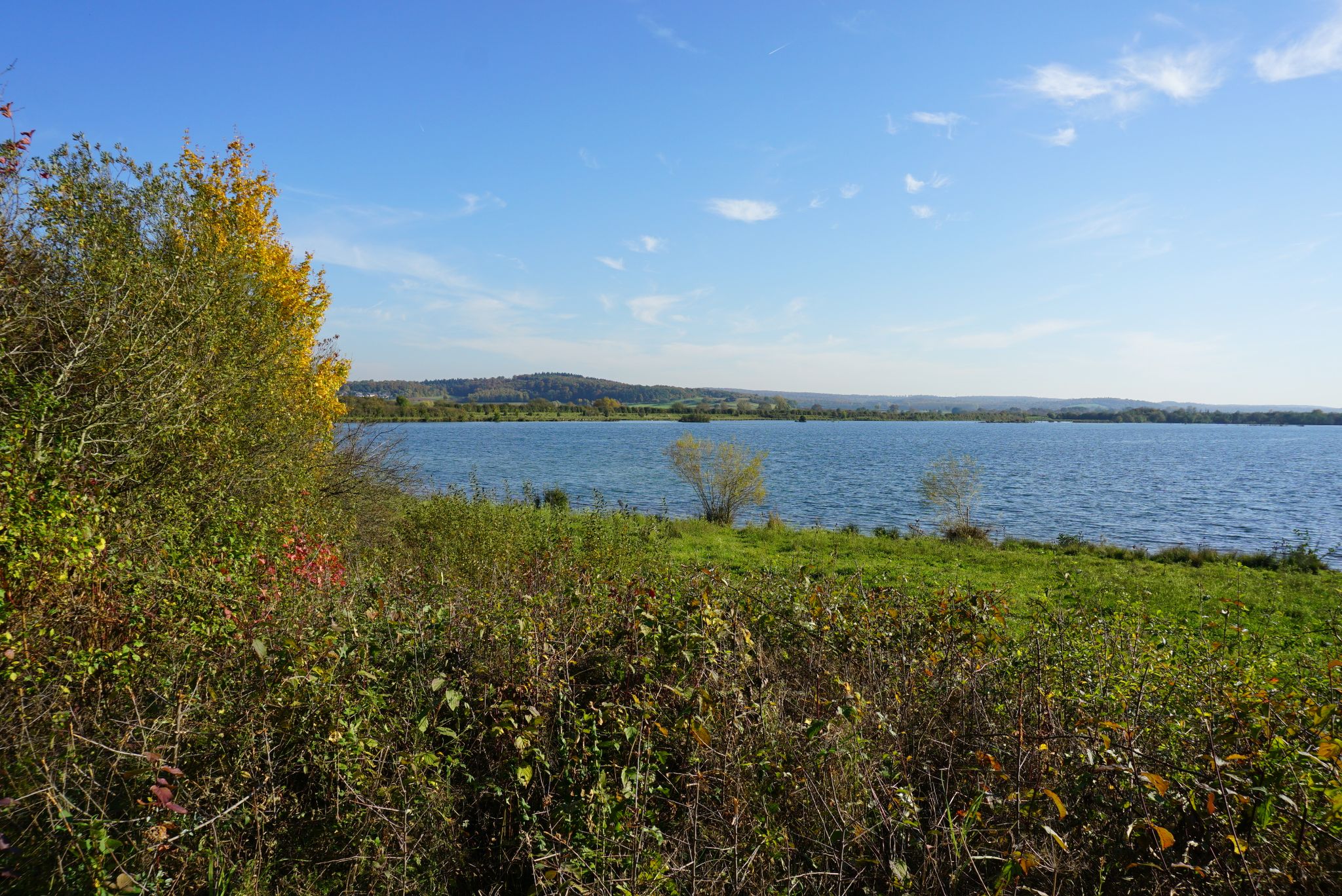
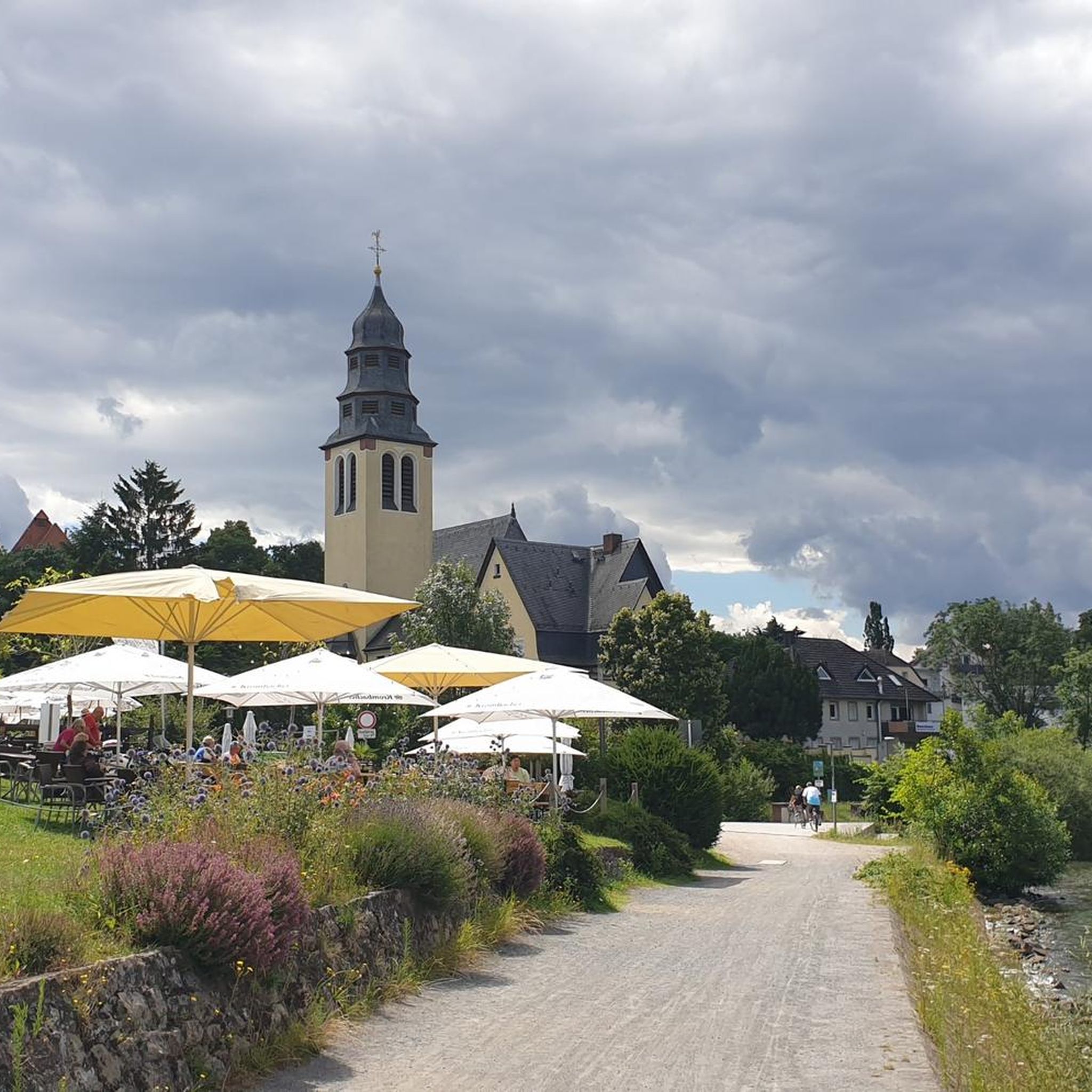
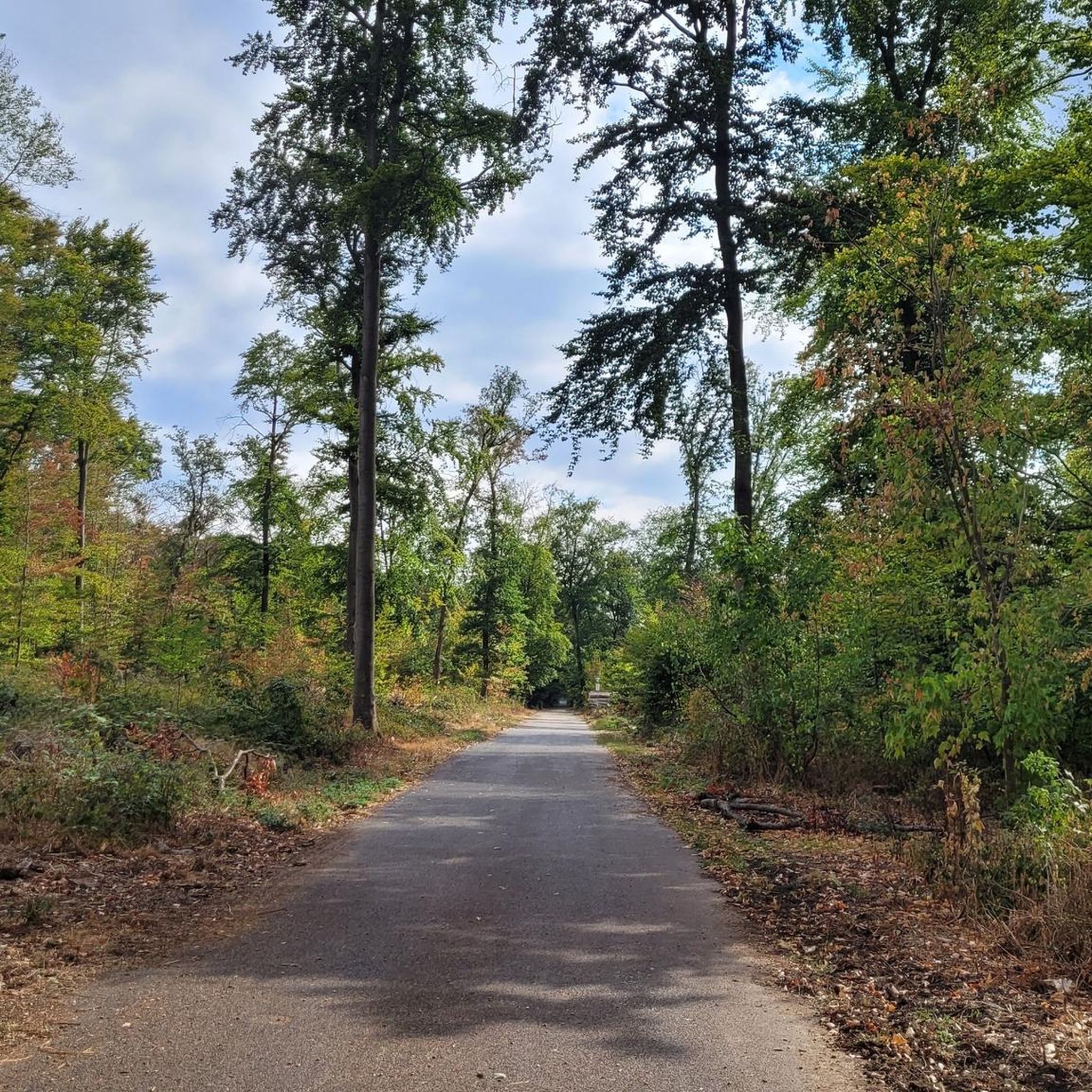
Other adventures around Kelsterbach

Tips from the Community

For me, a special point on the new runway. Not just because of the planes, but especially because of the fire station and the aircraft model for the firefighting exercise. This is all the more exciting if you are lucky enough to observe the fire department during an exercise.
0
0
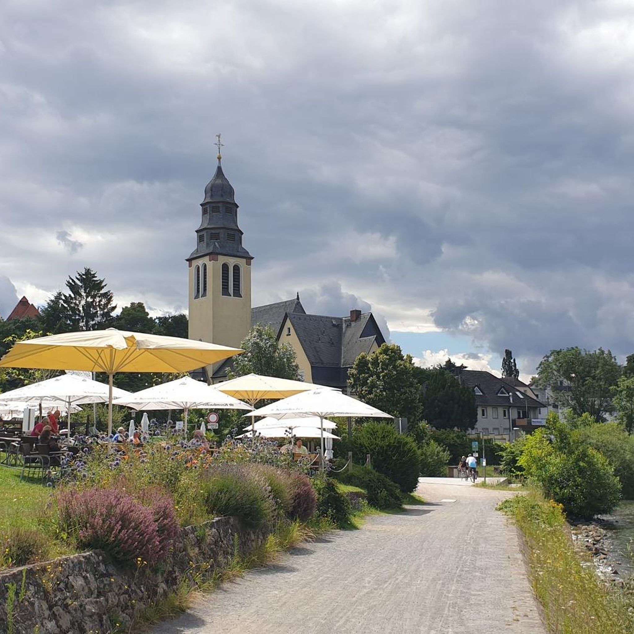
An incredibly beautiful spot and worth every detour. A wonderful path leads directly along the water, and the water itself invites you to swim (but unfortunately it is forbidden).
0
0

The entire Mönchbruch, with its large area, is definitely one of the most beautiful cycling areas in the Rhein/Main region. You can also see many animals, plants, lakes, ponds, etc. here.
0
0

There is a lot of activity here in the summer.
1
0

From this position, one can observe aircraft taking off very well when the wind is from the west.
17
0
From this position you have a great view of the skyline; it somehow compels you to stop and marvel.
0
0

There are often many people here to watch the planes taking off and landing.
0
0

ideal for spotters
0
0
Frequently Asked Questions
How many touring cycling routes are available around Kelsterbach?
Kelsterbach offers a diverse network of nearly 30 touring cycling routes. These routes cater to various preferences, ranging from easy riverside paths to more challenging loops with varied terrain.
What kind of terrain can I expect on touring cycling routes in Kelsterbach?
The terrain around Kelsterbach is generally flat, with minimal elevation changes, making it suitable for a range of abilities. Routes are predominantly paved, ensuring a smooth experience, though some may include unpaved sections, tracks, and pedestrian areas. The landscape is defined by the Main and Nidda rivers, forests, and open meadows.
Are there routes suitable for beginners or less experienced touring cyclists?
Yes, many routes around Kelsterbach are ideal for beginners and those seeking an easy ride. Out of the nearly 30 routes, 23 are classified as easy. For example, the View of Frankfurt Airport – Gundwiese Meadow loop from Kelsterbach is an easy 14.2-mile path offering open green spaces and airport views.
What do other cyclists say about touring cycling in Kelsterbach?
The touring cycling routes in Kelsterbach are highly rated by the komoot community, with an average score of 4.6 stars from over 260 reviews. More than 1,900 touring cyclists have used komoot to explore the area, often praising the well-maintained paths, scenic river views, and the variety of landscapes.
Are there any longer or more challenging touring cycling routes in the area?
While many routes are easy, there are a few options for more advanced touring cyclists. Two routes are classified as difficult, and two as moderate. For a moderate challenge, consider the Schwanheim Forest – View of the Frankfurt Skyline loop from Kelsterbach, a 25.7-mile trail leading through forest areas with city views.
When is the best time of year for touring cycling in Kelsterbach?
The region around Kelsterbach is enjoyable for touring cycling throughout the warmer months, typically from spring to autumn. The Main River and its riverside paths are particularly popular during this time. While specific winter routes aren't highlighted, many paved paths remain accessible, though conditions may vary.
Can I cycle along the Main River in Kelsterbach?
Absolutely. The Main River is a central feature of touring cycling in Kelsterbach, offering extensive riverside paths. The West Works Bridge – Wasserwerkchaussee entrance loop from Kelsterbach is an example of a route that leads through scenic riverside areas.
Are there any circular touring cycling routes around Kelsterbach?
Yes, many of the touring cycling routes around Kelsterbach are designed as loops, allowing you to start and end in the same location. Examples include the Unterschweinstiege – Schwanheim Forest loop from Kelsterbach and the View of Frankfurt Airport – Frankfurt Airport loop from Kelsterbach.
What natural features can I explore while touring cycling near Kelsterbach?
You can explore diverse natural settings such as the Main and Nidda rivers, the extensive Schwanheim Forest, and the open spaces of Gundwiese Meadow. The region also features the Kelsterbach Riverside Terrace (Mainvorland) and offers views of the Frankfurt Airport and city skyline.
What historical sites or landmarks can I visit along touring cycling routes near Kelsterbach?
Several historical sites and landmarks are accessible near Kelsterbach's cycling routes. You could visit the Mönchbruch Hunting Lodge, the Old Höchst Castle, or the impressive Bolongaro Palace. The Rüsselsheim Fortress is also within reach.
Are there any natural monuments or viewpoints to discover?
Yes, the area offers several natural monuments and viewpoints. You might enjoy the Flörsheimer Watchtower for panoramic views, or take a stroll on the Boardwalk through the Schwanheim Dune. The Mönchbruch Nature Reserve Observation Tower also provides excellent viewing opportunities.
How accessible are the touring cycling routes in Kelsterbach by public transport?
Kelsterbach is strategically located and well-connected, making many touring cycling routes accessible via public transport. Its proximity to Frankfurt and its transport network means you can often reach starting points by train or bus, especially for routes along the Main and Nidda rivers.
Are there touring cycling routes suitable for families with children?
Yes, the predominantly flat and paved routes along the Main and Nidda rivers are particularly well-suited for families with children. Many of the 23 easy routes offer a relaxed cycling experience away from heavy traffic, allowing families to enjoy the natural surroundings safely.
Most popular routes around Kelsterbach
Most popular attractions around Kelsterbach

Get inspired with the komoot mobile app


Explore more
Browse the best Cycling routes in other regions.
