The best gravel rides around Montailleur
5.0
(2)
18
riders
4
rides
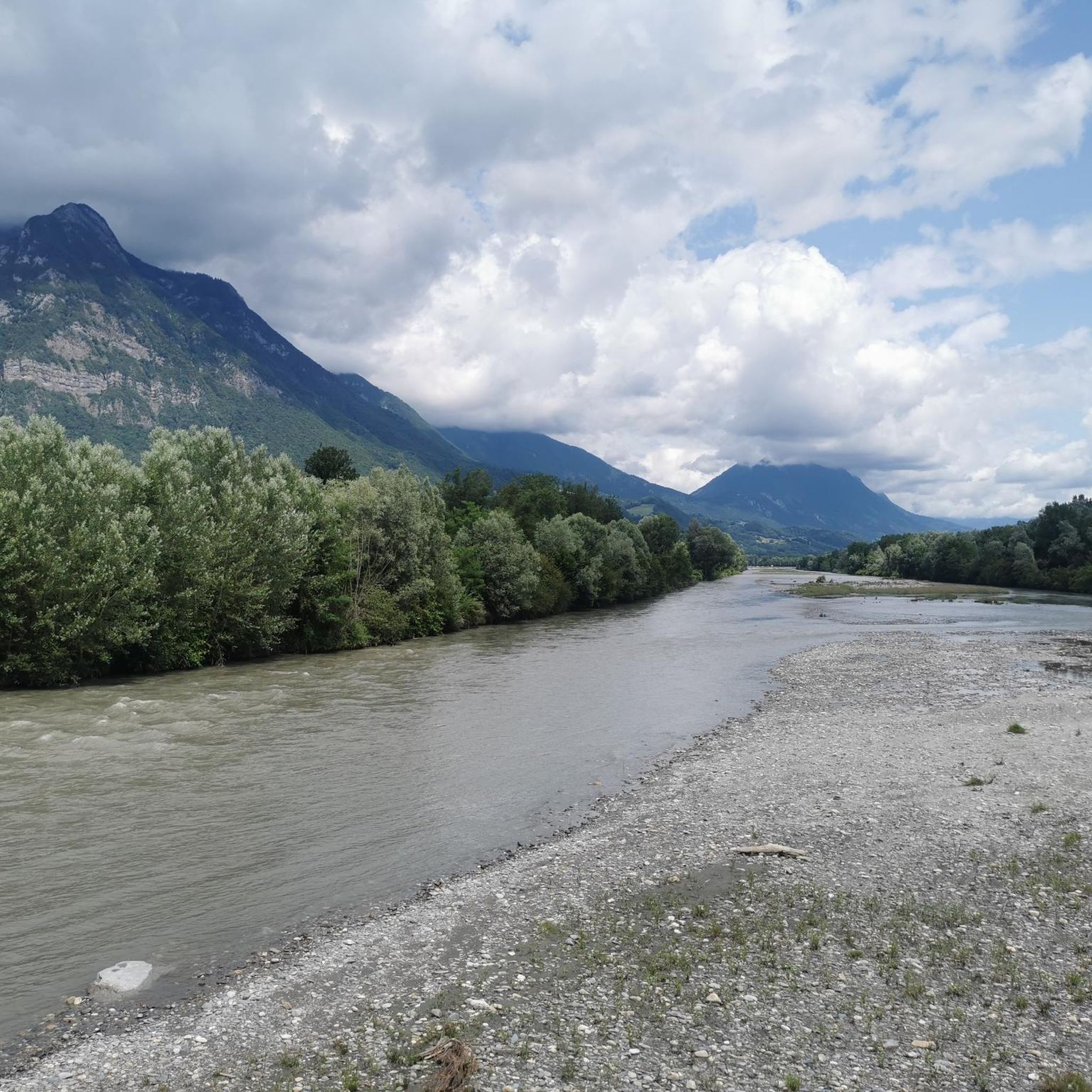
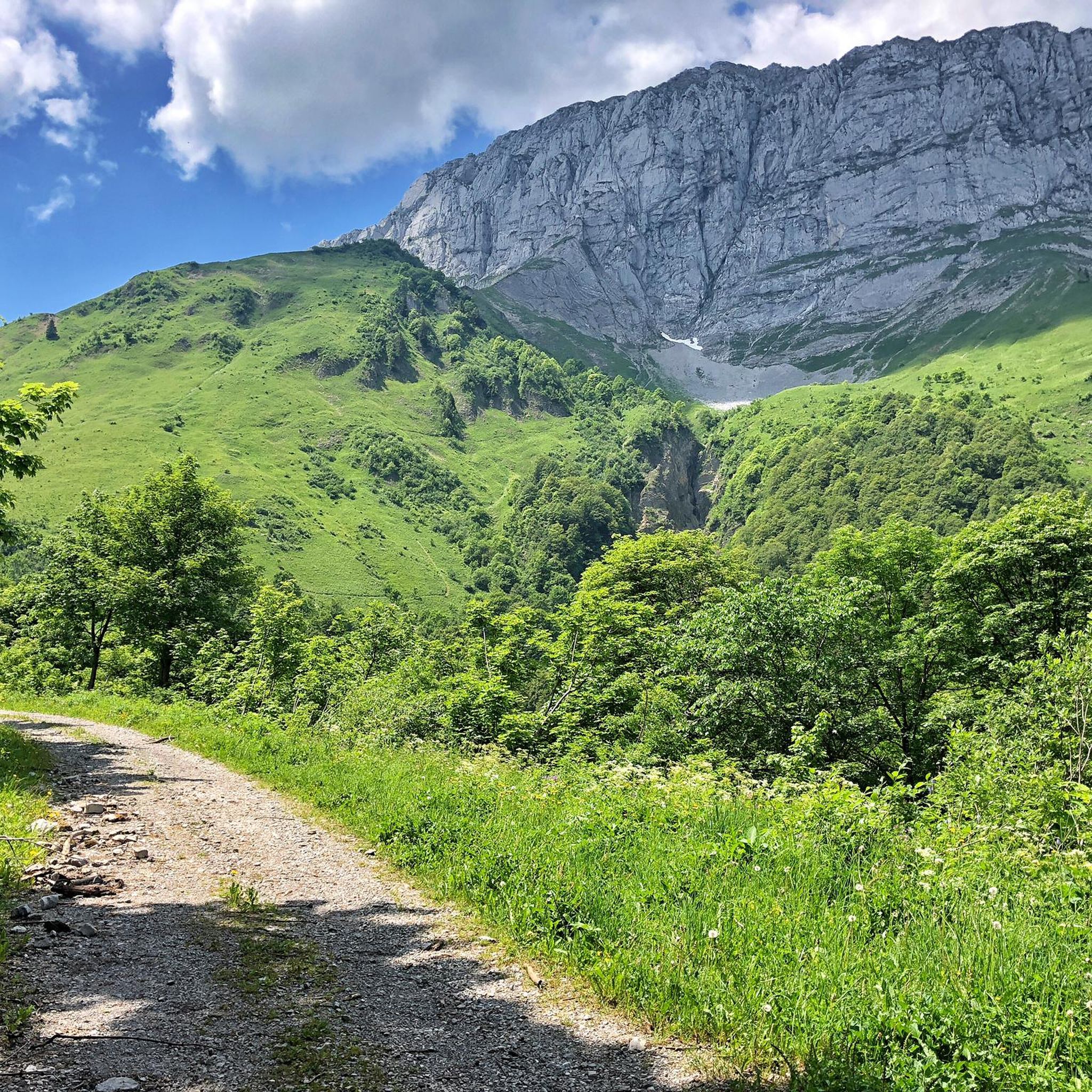
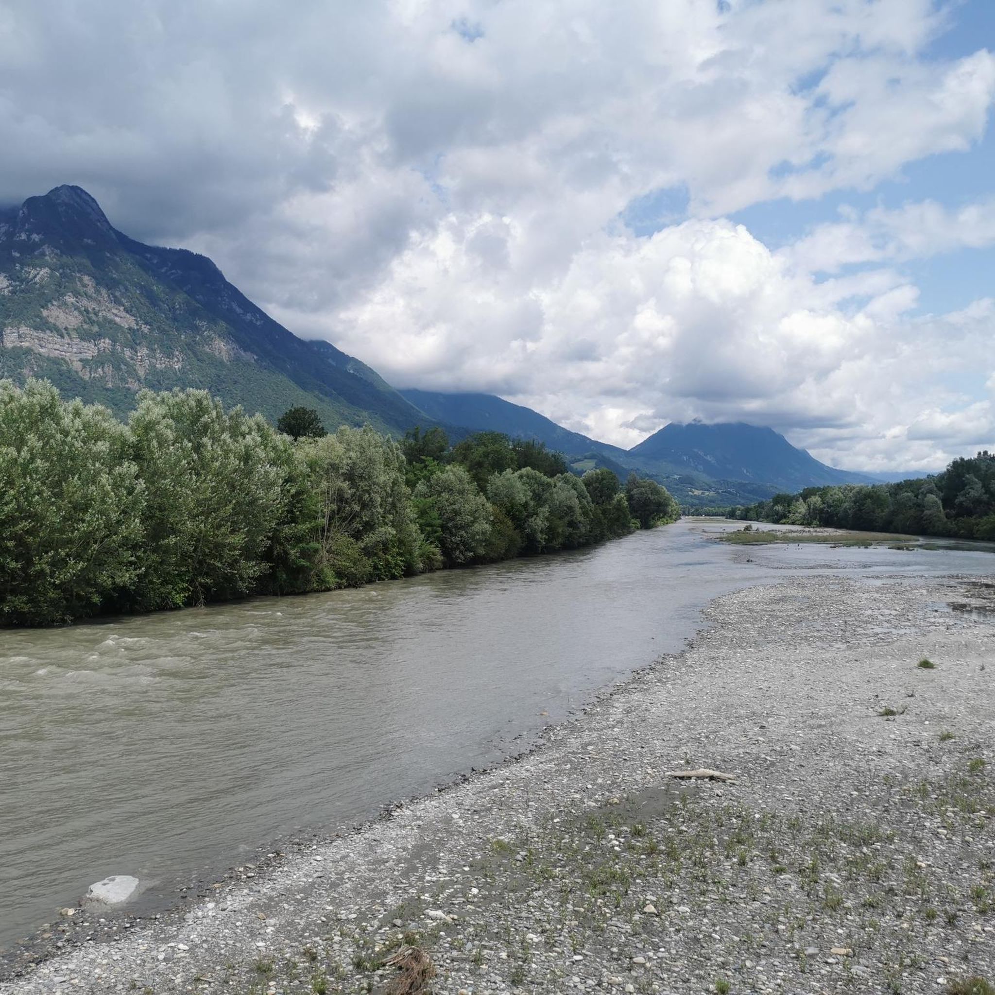
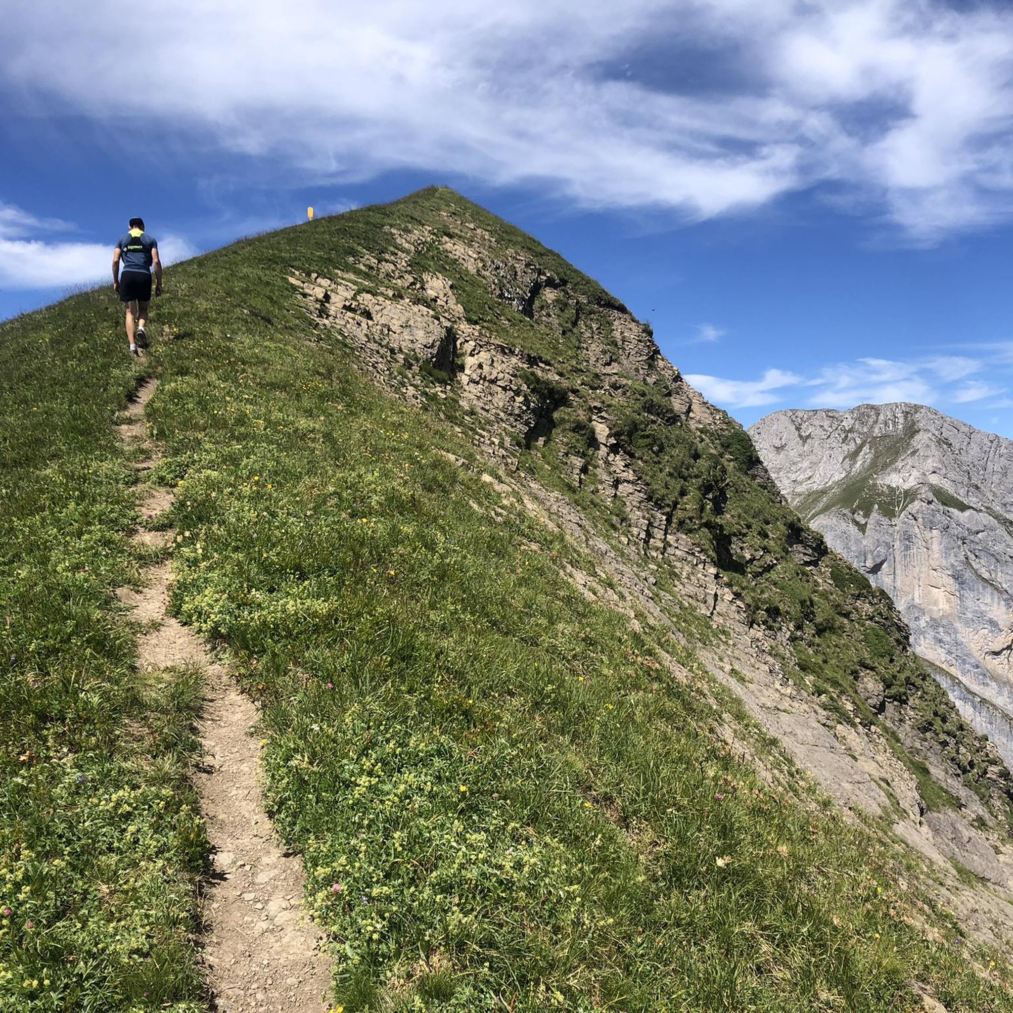
Gravel biking around Montailleur offers diverse terrain within the scenic Savoie region of France, characterized by pre-alpine landscapes. The area features forested valleys, alpine pastures, and limestone peaks, providing varied environments for gravel cyclists. This topography includes both gentle routes and more challenging ascents, typical of the Massif des Bauges Regional Natural Park. The region's mix of paved roads, stony paths, farm tracks, and forest trails creates an ideal setting for gravel biking.
Best gravel bike trails around Montailleur
- The most popular gravel bike trail is Lake Carouge – Étang de Grésy loop from Grésy-sur-Isère, a 19.5 miles (31.4 km) trail that takes 1 hour 59 minutes to complete. This moderate route features a mix of lakeside paths and varied terrain.
- Another top favourite among local gravel bikers is Véloroute 62 – Conflans loop from Cléry, a difficult 30.6 miles (49.2 km) path. This route includes significant elevation changes and scenic views.
- Local gravel bikers also love the Col du Vorger – Tamié Pass loop from Albertville, a 35.4 miles (57.0 km) trail leading through mountainous backdrops and green valleys, often completed in about 4 hours 15 minutes.
- Gravel biking around Montailleur is defined by mountainous backdrops, green valleys, and lakeside paths. The network offers options for different ability levels, from moderate bike paths to more difficult routes with substantial climbs.
- The routes in Montailleur are highly rated by the komoot community with an average score of 5.0 stars from 2 reviews. More than 8 gravel bikers have used komoot to explore Montailleur's varied terrain.
Last updated: July 1, 2026
5.0
(2)
2
riders
31.4km
02:00
310m
310m
Moderate gravel ride. Good fitness required. Mostly paved surfaces. Suitable for all skill levels.
4
riders
49.2km
03:37
1,110m
1,110m
Hard gravel ride. Very good fitness required. Mostly paved surfaces. Suitable for all skill levels.

Sign up for free
7
riders
47.6km
02:56
300m
300m
Moderate gravel ride. Good fitness required. Mostly paved surfaces. Suitable for all skill levels.
3
riders
57.1km
04:15
1,440m
1,440m
Hard gravel ride. Very good fitness required. Mostly paved surfaces. Suitable for all skill levels.
2
riders
37.7km
02:35
580m
580m
Hard gravel ride. Very good fitness required. Mostly paved surfaces. Suitable for all skill levels.
Our route recommendations are based on thousands of hikes, rides, and runs completed by other people on komoot.
Start today with a free account
Your next adventure awaits.
Login or Signup
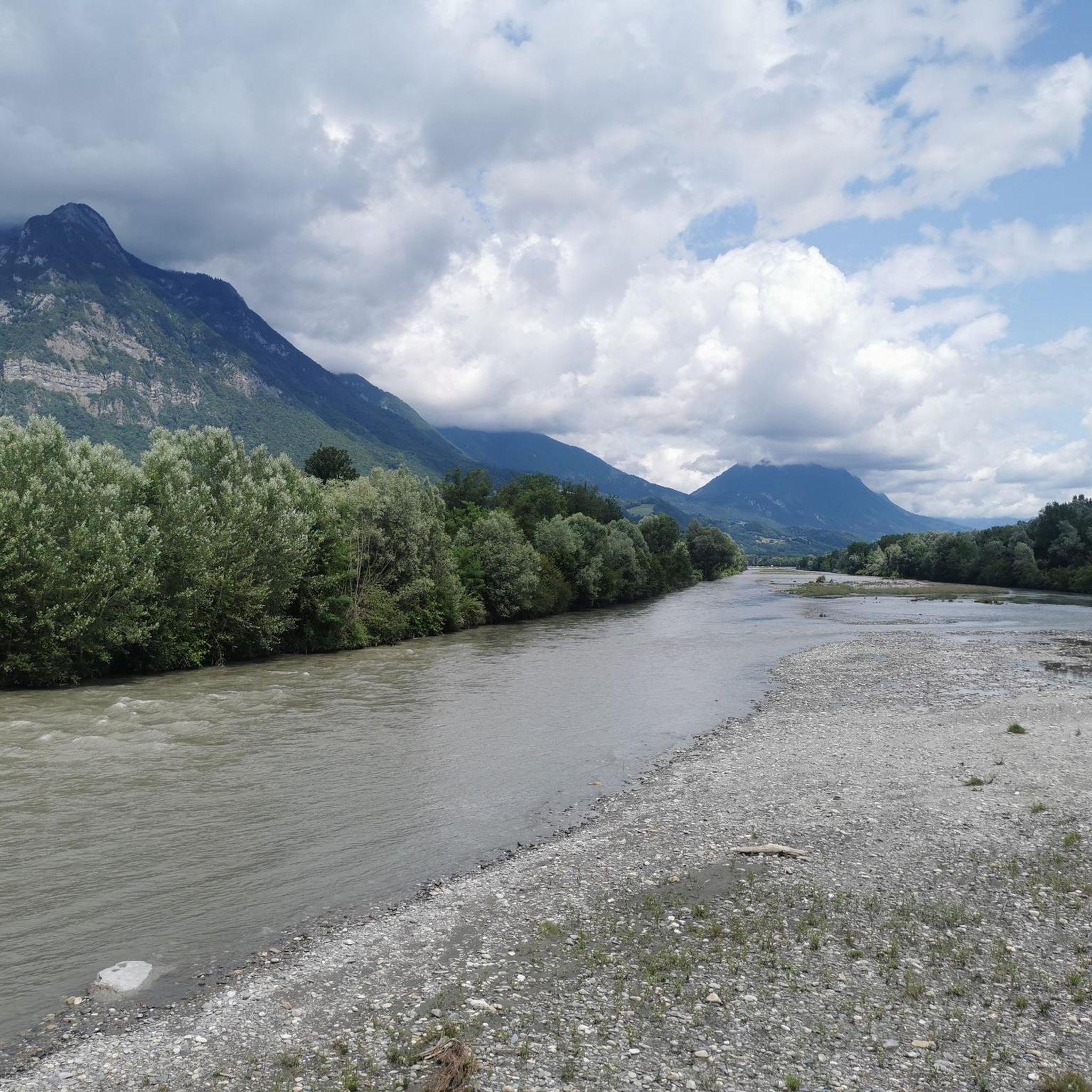
Tips from the Community

Ideally located along the Bella Via about fifteen kilometers from Albertville, cyclists can stop to refill their bottles and cool off. Other activities such as fishing or tennis are also practiced here. Surrounding massifs: Bauges to the north, Belledonne and Vanoise to the south
0
0

Beautiful cycle path along the Isere.
2
0
Beautiful old town of Albertville.
2
0

Surrounded by mountains, a castle, vineyards, fields, and streams, what more could you ask for
0
0

The place is clean and pleasant. There's room for everyone: fishermen, walkers, swimmers, cyclists...
0
0
The place is nice and clean. Ideal for fishing and plenty of room for swimming. A greenway runs alongside the pond...
0
0


Beautiful quiet street with a view of the Chateau
0
0
Frequently Asked Questions
How many gravel bike trails are available around Montailleur?
Montailleur offers a selection of nearly 10 gravel bike trails, providing diverse options for exploring the scenic Savoie region. These routes are highly rated by the komoot community, with an average score of 4.1 stars.
What kind of terrain can I expect on gravel bike trails near Montailleur?
The terrain around Montailleur is varied, featuring mountainous backdrops, verdant valleys, and paths alongside water bodies like the WAM Park lake. You'll encounter a mix of forest paths, ascents, and designated bike paths, characteristic of the pre-alpine areas of Savoie.
Are there gravel biking options for different skill levels in Montailleur?
Yes, Montailleur caters to various skill levels. You'll find moderate routes, such as the View of Château de Miolans – Bike path loop from Frontenex, which offers a gentler experience. For more experienced riders, there are difficult routes with substantial climbs, like the Épine Pass – Tamié Pass loop from Grésy-sur-Isère, which includes significant elevation changes.
What do other gravel bikers say about the trails in Montailleur?
The gravel biking routes in Montailleur are highly regarded by the komoot community, holding an average rating of 4.1 stars from 10 reviews. Over 90 gravel bikers have used komoot to explore the area, often praising the varied terrain and scenic beauty.
Are there any circular gravel bike routes around Montailleur?
Yes, several routes are designed as loops. For example, the Bike path – Véloroute 62 loop from Albertville offers a moderate circular path, while the Grignon Lake – Ruisseau des Moulins loop from Gilly-sur-Isère provides another scenic option.
Can I find long-distance gravel routes in the Montailleur area?
Absolutely. For those seeking longer rides, the Épine Pass – Tamié Pass loop from Grésy-sur-Isère is a challenging 51.2-mile (82.4 km) route. Another substantial option is the Tunnel under the rock – Montée de Hautecour loop from Grignon, covering 73.8 km with significant elevation.
Are there gravel routes that offer scenic views or pass by interesting landmarks?
Many routes offer picturesque scenery. The View of Château de Miolans – Bike path loop from Frontenex provides views of the historic Château de Miolans. The region is also rich in natural beauty, with nearby mountain peaks like La Belle-Étoile and Petite Sambuy offering stunning backdrops.
What is the best time of year to go gravel biking in Montailleur?
Given Montailleur's location in the Savoie region with its mountainous terrain, spring through autumn generally offers the most favorable conditions for gravel biking. During these seasons, you can expect pleasant temperatures and clear paths, allowing for comfortable exploration of the green valleys and ascents.
Is public transport accessible for reaching gravel bike trails in Montailleur?
While specific public transport links directly to trailheads are not detailed, Montailleur is situated within the broader Savoie region, which has regional transport networks. It's advisable to check local bus or train services connecting to towns like Albertville or Grésy-sur-Isère, from where some routes originate, such as the Bike path – Véloroute 62 loop from Albertville.
Are there any family-friendly gravel biking options in Montailleur?
While specific 'family-friendly' routes are not explicitly categorized, the presence of designated bike paths like the Bike path – Véloroute 62 loop from Albertville suggests smoother, less technical terrain that could be suitable for families. The 3km cycling loop around the WAM Park lake also offers a very accessible option.
Can I find places to stop for refreshments or accommodation near the gravel routes?
Montailleur is home to the WAM Park, which offers amenities including restaurants. While specific cafes or pubs directly on the gravel routes are not listed, the nearby towns and villages within the Savoie region will provide various options for refreshments and accommodation, serving as convenient bases for your rides.
Are there any huts or refuges along the gravel trails for a break or overnight stay?
Yes, the Montailleur area, being part of the Savoie region, has several huts and refuges. You might encounter places like the Drison Refuge or the La Fullie Chalets, which can offer a welcome break or even an overnight stay on longer adventures.
Most popular routes around Montailleur
Most popular attractions around Montailleur

Get inspired with the komoot mobile app


Explore more
Browse the best Gravel rides in other regions.
