The best walks and hikes around Montailleur
4.5
(516)
6,938
hikers
150
hikes
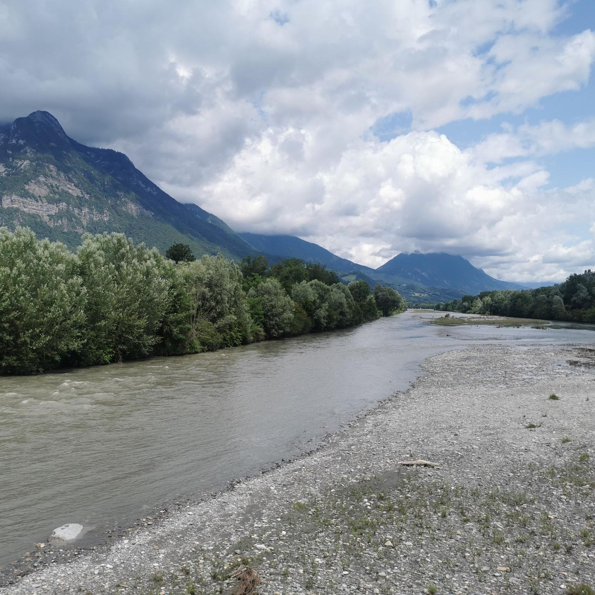
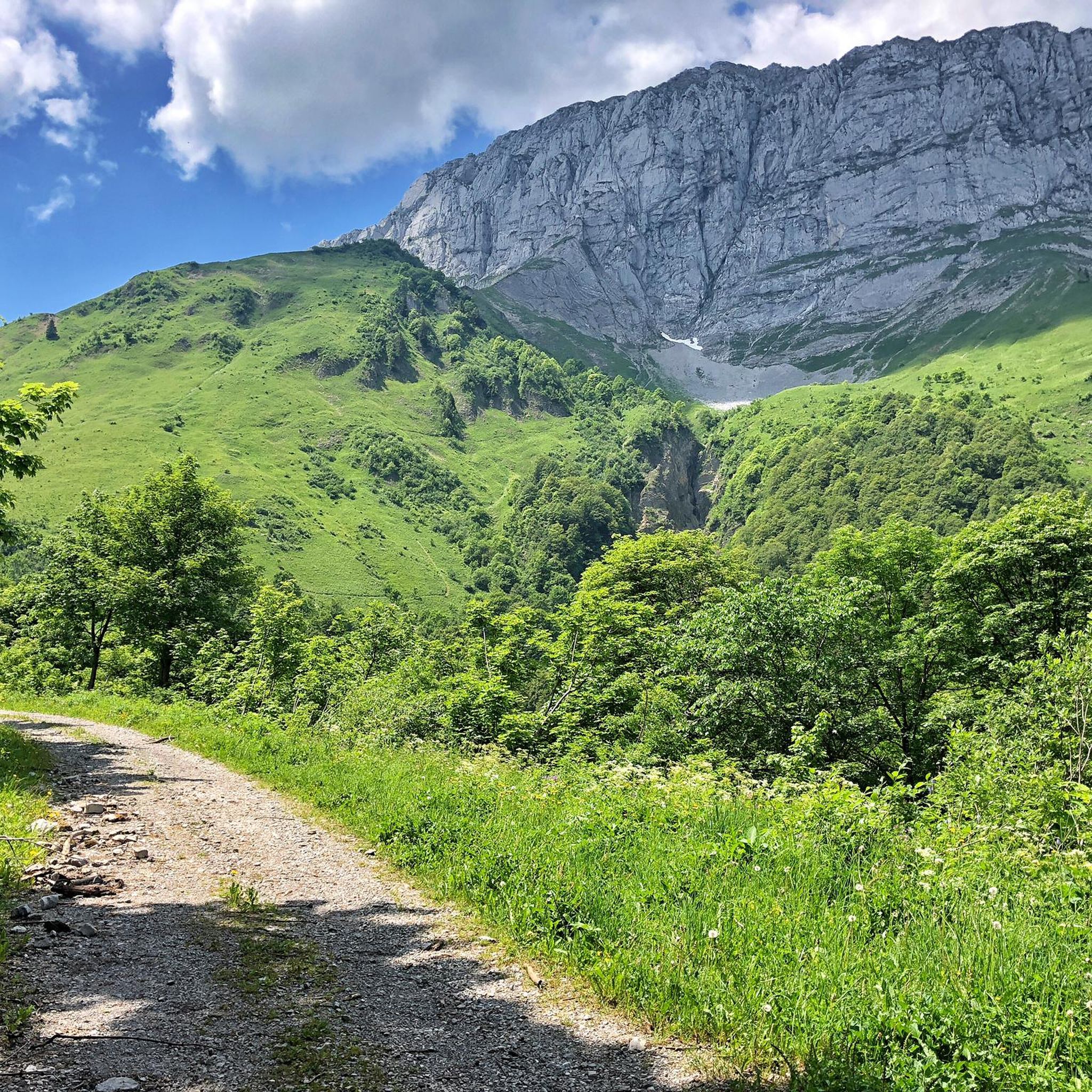
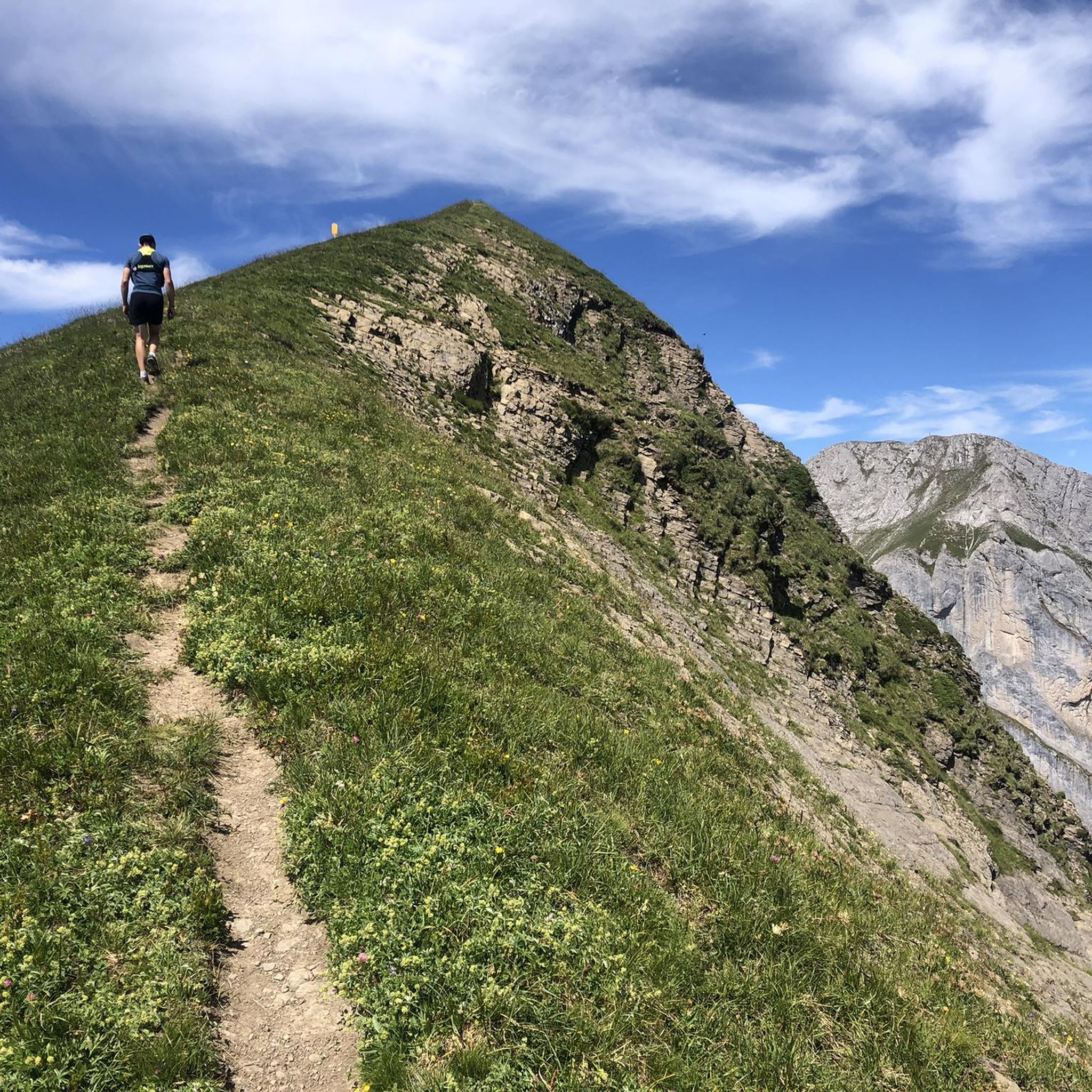
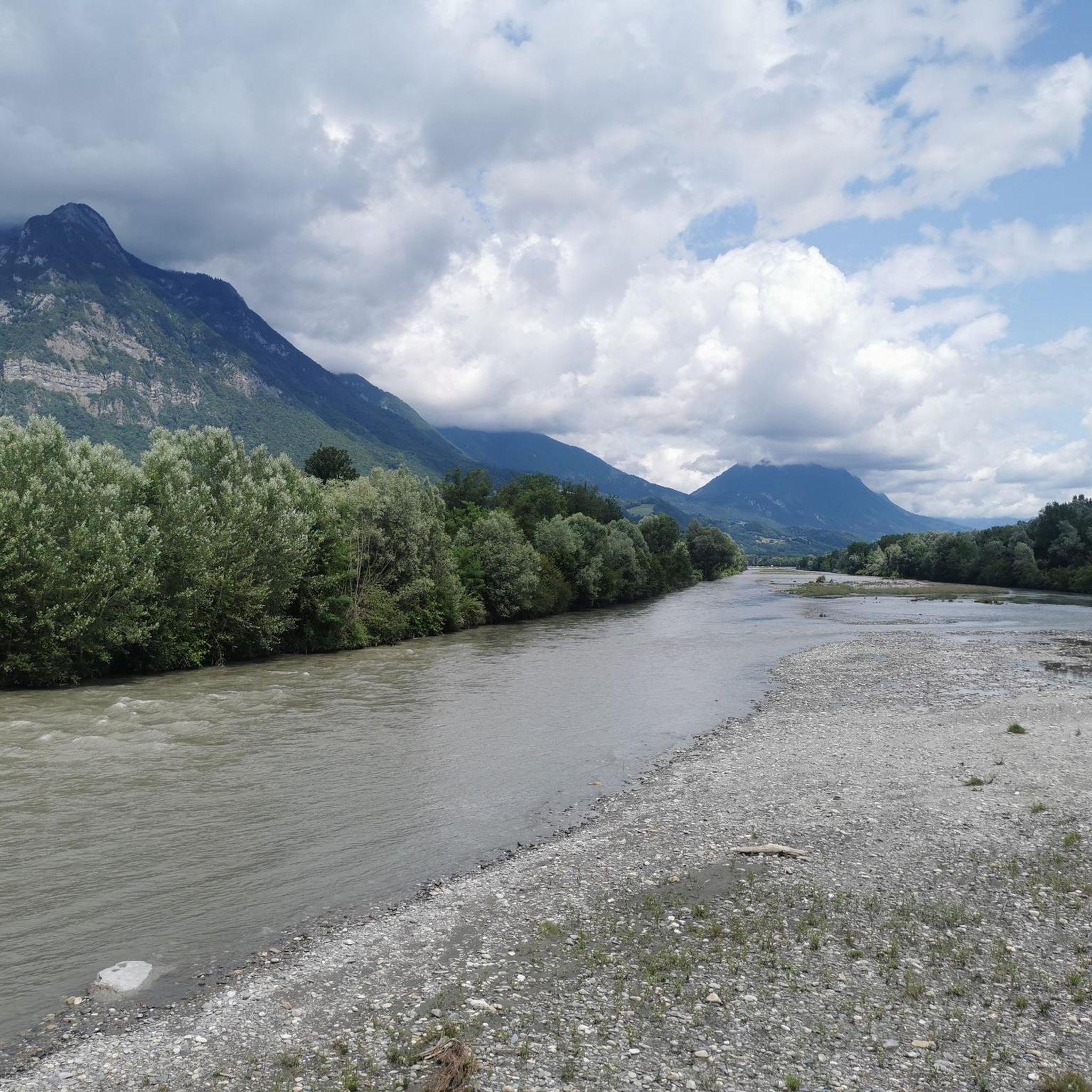
Hiking around Montailleur offers a diverse landscape characterized by the pre-alpine terrain of the Massif des Bauges. The region features a mix of forested valleys, open alpine pastures, and limestone peaks. Elevations vary, providing routes from moderate climbs to more challenging ascents.
Best hiking trails around Montailleur
- The most popular hiking route is Pointe de Chaurionde Loop, a 11.4 miles (18.3 km) trail that takes 7 hours 58 minutes to complete, offering challenging ascents and panoramic views.
- Another top…
Last updated: July 4, 2026
4.6
(10)
162
hikers
18.3km
07:58
1,310m
1,310m
Hard hike. Very good fitness required. Mostly accessible paths. Sure-footedness required.
3.8
(4)
60
hikers
16.4km
06:30
1,080m
1,090m
Hard hike. Very good fitness required. Mostly accessible paths. Sure-footedness required.

Sign up for free
5.0
(2)
51
hikers
17.2km
08:44
1,420m
1,420m
Hard hike. Very good fitness required. Mostly accessible paths. Sure-footedness required.
5.0
(1)
20
hikers
15.7km
07:39
1,290m
1,290m
Hard hike. Very good fitness required. Sure-footedness, sturdy shoes and alpine experience required.
5.0
(2)
26
hikers
11.1km
05:31
940m
940m
Hard hike. Very good fitness required. Mostly accessible paths. Sure-footedness required.
Get access to more routes and recommendations from other explorers.
Sign up for free
Already have an account?
Our route recommendations are based on thousands of hikes, rides, and runs completed by other people on komoot.
Start today with a free account
Your next adventure awaits.
Login or Signup

Tips from the Community

Hello, point 1 is not the Col d'Orgeval, but under Chaurionde. It would have been wise to mention the Aulp de Seythenex as point 1, as 2 under Chaurionde and so on....
0
0


A beautiful peak at 1919m, near the Refuge d'Orgeval.
0
0
A pretty alpine chalet at the foot of the Pointe d'Arcalod. It is possible to eat and stay there.
1
0
The Mont de la Coche at 2070m is one of the 2000 Bauges. The summit is marked by a cross and offers a panoramic view of the rest of the Massif des Bauges.
2
0

It is a pretty rocky point, which rises to 1,919 meters above sea level.
0
0
It is a pretty pass in the heart of the alpine pastures, at an altitude of 1,519 meters.
0
0
Pointe de la Fougère rises to 1,849 meters. From there, there is a superb view of the ridge path, the Pécloz and the Bauges massif. A small cross marks the top of the Point.
0
0
Frequently Asked Questions
How many hiking trails are available around Montailleur?
Montailleur offers a wide variety of hiking experiences, with over 150 trails to explore. These routes cater to different skill levels, from easy walks to challenging mountain ascents.
Are there easy or beginner-friendly hiking options in Montailleur?
Yes, Montailleur provides options for all abilities. There are over 20 easy hiking trails, perfect for beginners or those looking for a relaxed stroll. These routes often feature gentler inclines and shorter distances.
What kind of terrain can I expect on hikes near Montailleur?
The hiking terrain around Montailleur is diverse, characterized by the pre-alpine landscape of the Massif des Bauges. You'll encounter a mix of forested valleys, open alpine pastures, and limestone peaks. Elevations vary significantly, offering everything from moderate climbs to more challenging ascents.
Are there any circular walks available in Montailleur?
Many of the trails around Montailleur are designed as circular routes, allowing you to start and end at the same point. For example, the challenging Pointe de Chaurionde Loop and the difficult Mont de la Coche - Massif des Bauges - Loop are popular circular options.
What can I see along the hiking trails in Montailleur?
The region is rich in natural beauty and notable landmarks. You can discover impressive mountain peaks such as La Belle-Étoile, Mont Colombier, and Mont Trélod. Additionally, there are several mountain passes like Col du Frêne (950 m) and Tamié Pass that offer stunning views.
What do other hikers enjoy most about hiking in Montailleur?
The hiking trails in Montailleur are highly regarded by the komoot community, with an average rating of 4.5 stars from over 500 reviews. Hikers often praise the diverse landscapes, from dense forests to open alpine meadows, and the rewarding panoramic views from the peaks.
Are there any family-friendly hiking routes in Montailleur?
While many routes in Montailleur involve significant elevation changes, there are easier trails suitable for families. Look for routes designated as 'easy' in difficulty, which typically have shorter distances and less strenuous climbs, making them more enjoyable for children.
What is the best season for hiking in Montailleur?
The best seasons for hiking in Montailleur are generally spring, summer, and early autumn. During these months, the weather is milder, and the trails are typically clear of snow. Summer offers lush greenery and wildflowers, while autumn provides vibrant foliage. Always check local weather conditions before heading out.
What are the winter hiking conditions like in Montailleur?
Winter hiking in Montailleur can be challenging due to snow and ice, especially at higher elevations. Many trails may require specialized equipment like snowshoes or microspikes. Some routes might be inaccessible or dangerous. It's crucial to check current conditions and avalanche warnings before planning a winter hike.
Are there less crowded hiking options around Montailleur?
To find less crowded trails, consider exploring some of the moderate or difficult routes that are not among the most popular, or plan your hikes during weekdays or outside of peak holiday periods. The region has over 150 trails, so there are many opportunities to find quieter paths away from the main tourist spots.
What should I bring for a hike in Montailleur?
Given the varied terrain and potential for changing weather in the pre-Alps, it's advisable to bring appropriate hiking boots, layers of clothing, rain gear, sufficient water and snacks, a map or GPS device, and sun protection. For more challenging routes, trekking poles can also be beneficial.
Are there any cafes or places to eat near the hiking paths?
While specific cafes directly on every trail might be limited, many villages and towns surrounding Montailleur offer various dining options. It's a good idea to plan your route to pass through or end near a village if you're looking for a cafe or restaurant. Some longer routes might also have mountain refuges that offer refreshments.
Most popular routes around Montailleur
Most popular attractions around Montailleur

Get inspired with the komoot mobile app


Explore more
Browse the best Hikes in other regions.
