The best road cycling routes around Montailleur
4.6
(387)
16,021
riders
70
rides
Road cycling around Montailleur, located in the Savoie department of southeastern France, offers diverse terrain for cyclists. The region is characterized by mountainous surroundings, including numerous mountain passes and peaks, providing challenging ascents and scenic descents. Well-paved roads traverse varied landscapes, from the Massif des Bauges Regional Nature Park to valleys with impressive natural monuments. This area provides a range of road cycling routes with significant elevation gains.
Best road cycling routes around Montailleur
- The most popular road cycling route…
Last updated: June 28, 2026
4.5
(45)
953
riders
65.2km
02:43
440m
440m
Moderate road ride. Good fitness required. Mostly well-paved surfaces and easy to ride.
5.0
(3)
315
riders
93.6km
05:24
2,200m
2,200m
Hard road ride. Very good fitness required. Mostly well-paved surfaces and easy to ride.

Sign up for free
4.7
(3)
253
riders
132km
06:21
1,750m
1,750m
Hard road ride. Very good fitness required. Mostly well-paved surfaces and easy to ride.
5.0
(2)
131
riders
205km
10:38
3,260m
3,260m
Hard road ride. Very good fitness required. Some segments of this route may be unpaved and difficult to ride.
4.3
(3)
216
riders
86.6km
04:31
1,470m
1,470m
Hard road ride. Very good fitness required. Mostly well-paved surfaces and easy to ride.
Get access to more routes and recommendations from other explorers.
Sign up for free
Already have an account?
Our route recommendations are based on thousands of hikes, rides, and runs completed by other people on komoot.
Start today with a free account
Your next adventure awaits.
Login or Signup
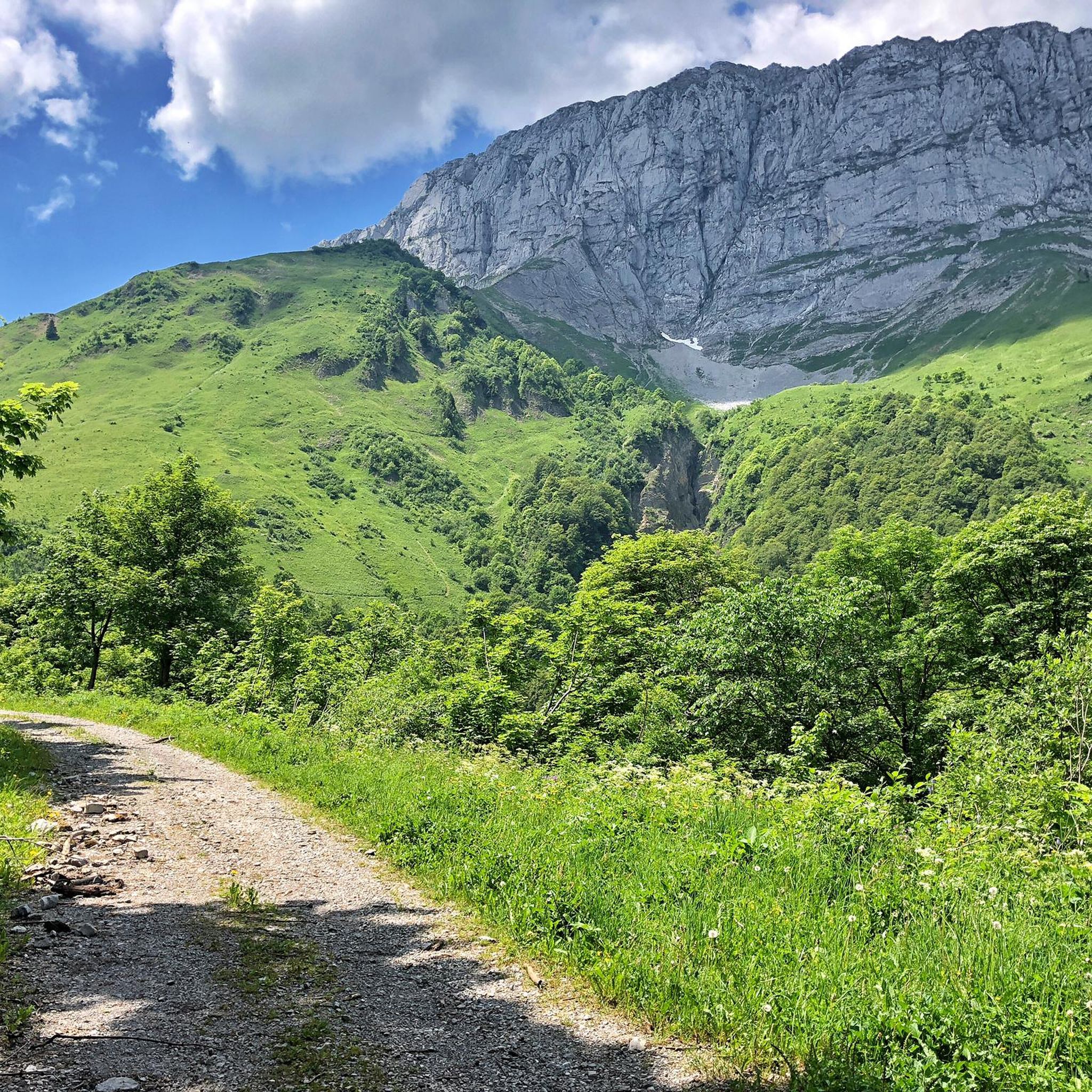
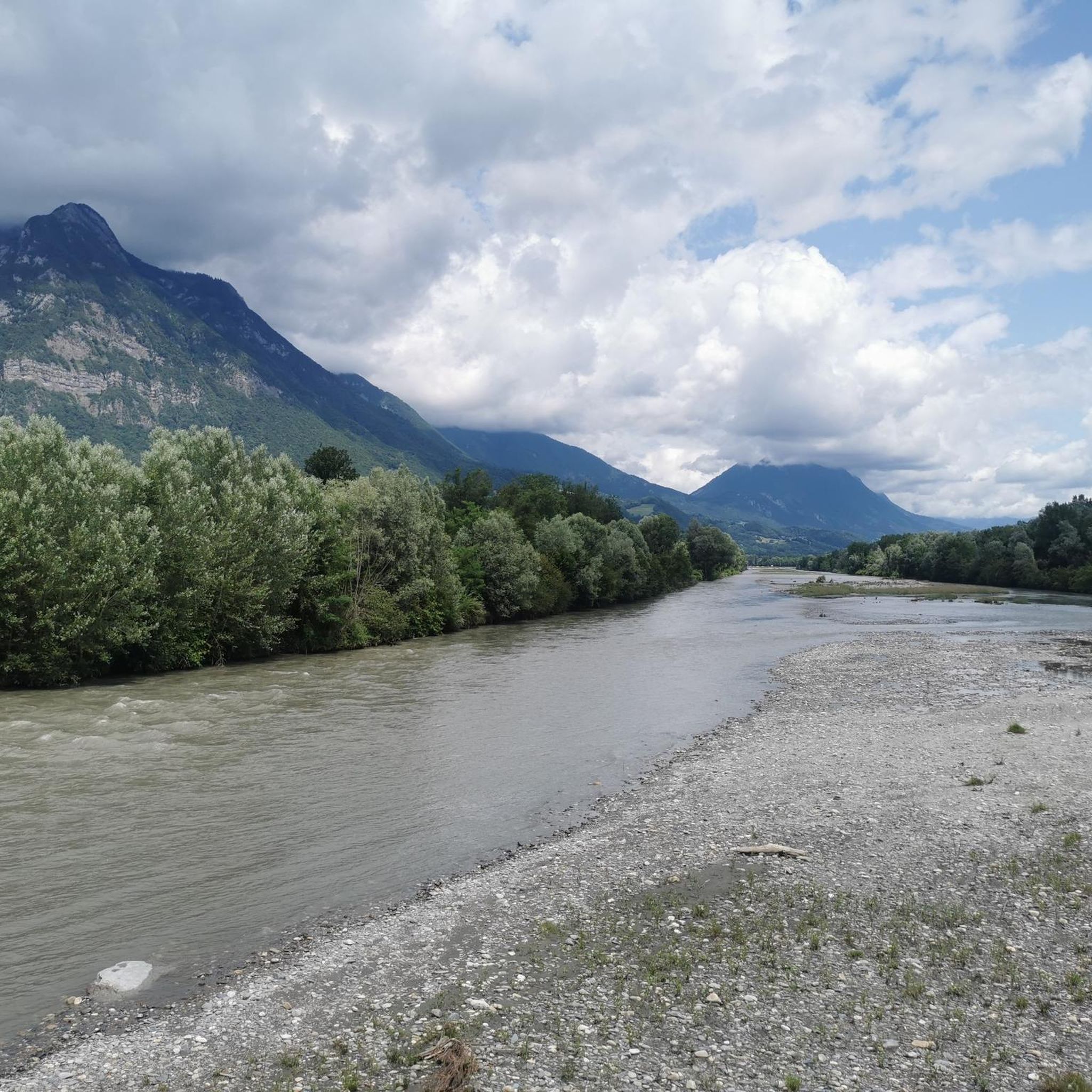
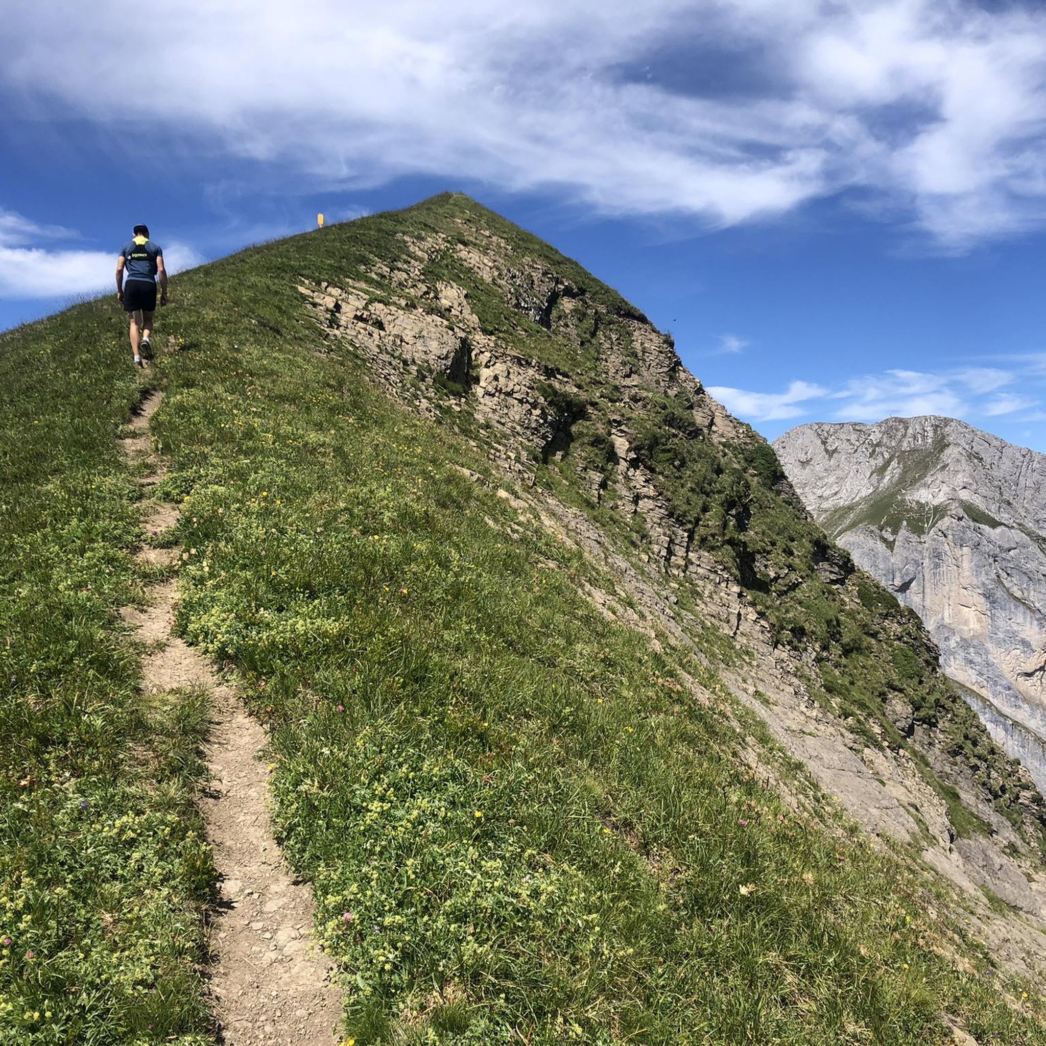
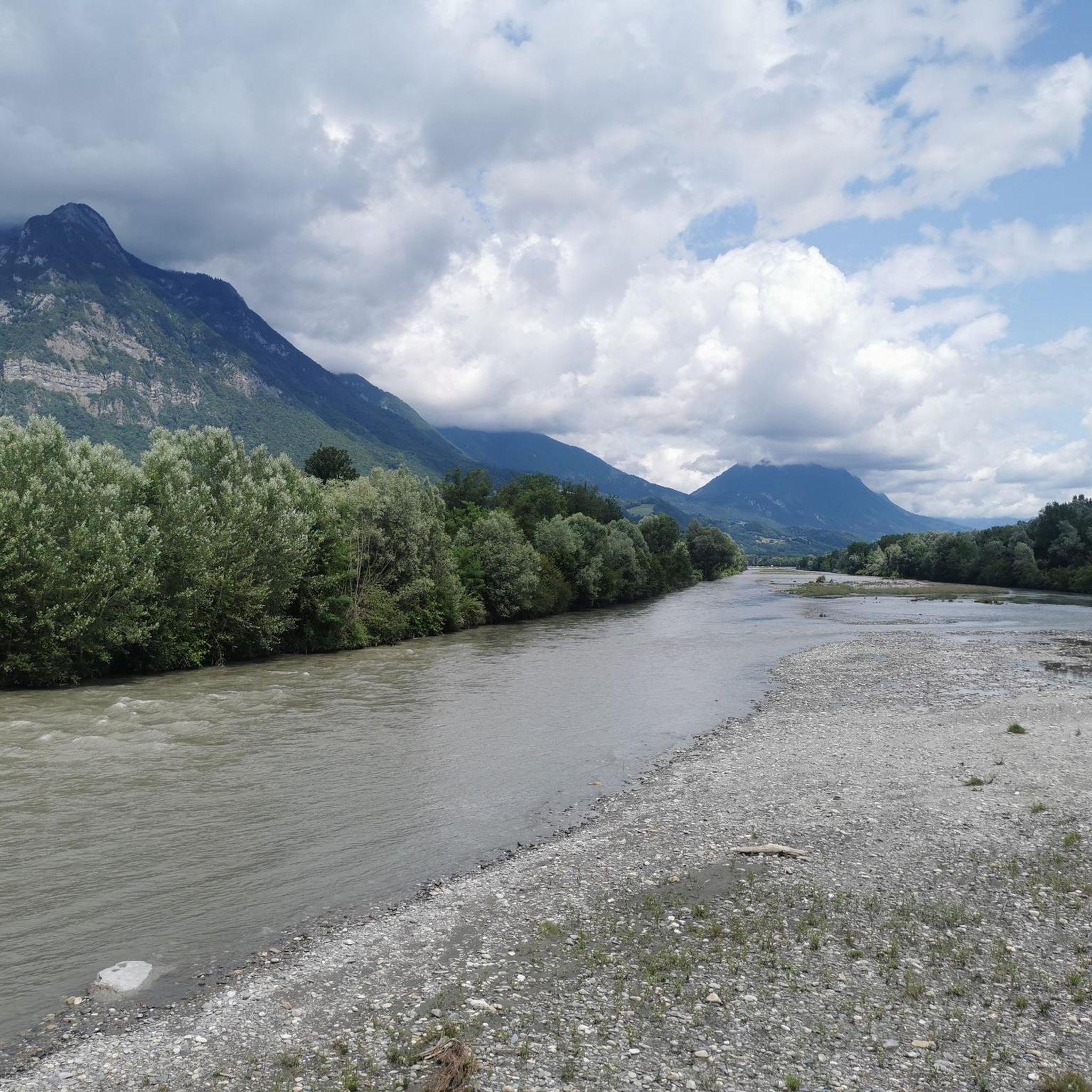

Tips from the Community

D109, beautiful descent to Ugine
2
0
Cycle path along the Isere with a bathing spot.
2
0
Beautiful cycle path along the Isere.
2
0
Small street and great views. Little traffic.
2
0
Beautiful cycle path, nice pond with a rest area.
3
0

Even more beautiful downhill
3
0

The road borders the vineyards of Myans. A superb setting in the heart of the Savoie vineyard, with impressive views of Mont Granier.
0
0

Beautiful to cycle and to experience, unmissable.
0
0
Frequently Asked Questions
How many road cycling routes are available around Montailleur?
There are over 60 road cycling routes around Montailleur, offering a wide range of options for different skill levels. This includes 10 easy, 34 moderate, and 21 difficult routes.
What is the typical difficulty level for road cycling routes near Montailleur?
Road cycling around Montailleur offers a diverse range of difficulties. You'll find routes suitable for all levels, from easy rides through valleys to challenging ascents over mountain passes like the Col des Saisies. Many routes feature significant elevation gains, making them ideal for experienced riders seeking a demanding experience.
Are there challenging road cycling routes with significant elevation gain around Montailleur?
Yes, Montailleur is known for its challenging routes with substantial elevation gain. For instance, the Col des Saisies – Conflans loop from Frontenex is a difficult 94 km route with over 2200 meters of elevation gain. Another demanding option is the Col du Télégraphe – Col du Galibier loop from Frontenex, which spans over 205 km and includes more than 3200 meters of climbing.
What interesting landmarks or natural features can I see along road cycling routes near Montailleur?
Many road cycling routes in the area pass by notable landmarks and natural features. You can cycle past mountain passes like Col du Frêne (950 m) and Tamié Pass. Some routes also offer views of impressive summits such as La Belle-Étoile and Mont Colombier. You might also encounter cultural sites like the Notre-Dame de Tamié Abbey.
What do other road cyclists enjoy most about the routes around Montailleur?
The road cycling routes around Montailleur are highly rated by the komoot community, with an average score of 4.6 stars from over 360 reviews. Cyclists often praise the breathtaking scenery, the challenge of the mountain passes, and the well-maintained roads that traverse diverse landscapes, including the Massif des Bauges Regional Nature Park.
Are there any family-friendly road cycling options near Montailleur?
While many routes around Montailleur feature significant elevation, there are options suitable for families. The Conflans – Véloroute 62 loop from Frontenex is a moderate 65 km route that follows a dedicated cycling path, offering a smoother and safer experience for families. The area around WAM Park also features developed shores by a lake, which are suitable for relaxed cycling.
Can I find circular road cycling routes starting from Montailleur?
Yes, many road cycling routes around Montailleur are designed as loops, allowing you to start and finish in the same location. Examples include the Lake Saint-André – Abyss Bridge loop from Frontenex and the Collet de Tamié (960 m) – Tamié Pass loop from Frontenex.
Is it possible to cycle to WAM Park from Montailleur?
WAM Park, a popular outdoor activities center, is located in Montailleur itself. The park is situated by a lake with developed shores, which are suitable for cycling. You can easily access WAM Park by road bike, and the surrounding area offers a relaxed atmosphere for a ride.
What is the best season for road cycling in Montailleur?
The mountainous terrain around Montailleur means that late spring, summer, and early autumn are generally the best seasons for road cycling. During these months, the weather is typically more stable, and mountain passes are clear of snow, offering optimal conditions for exploring the region's diverse routes.
Are there cafes or accommodation options for cyclists in Montailleur?
Montailleur and its surrounding towns in the Savoie department cater to outdoor enthusiasts, including cyclists. You can find various cafes, pubs, and accommodation options that are welcoming to cyclists. It's advisable to check local listings for specific amenities like bike parking or repair facilities.
Where can I find parking for my car if I want to cycle in Montailleur?
Montailleur and nearby towns like Frontenex, which serve as common starting points for many routes, offer parking facilities. Look for public parking areas in the town centers or near popular trailheads. Specific parking information for individual routes can often be found on their respective komoot tour pages.
Can I use public transport with my bike in the Montailleur area?
Public transport options for bikes can vary by region and service. While some regional buses or trains in France may accommodate bicycles, it's essential to check the specific policies and schedules of local transport providers in the Savoie department beforehand. This will ensure you can plan your journey effectively if you intend to combine cycling with public transport.
Most popular routes around Montailleur
Most popular attractions around Montailleur

Get inspired with the komoot mobile app


Explore more
Browse the best Road cycling routes in other regions.
