The best mountain hikes around Notre-Dame-Des-Millières
5.0
(4)
23
hikers
4
hikes
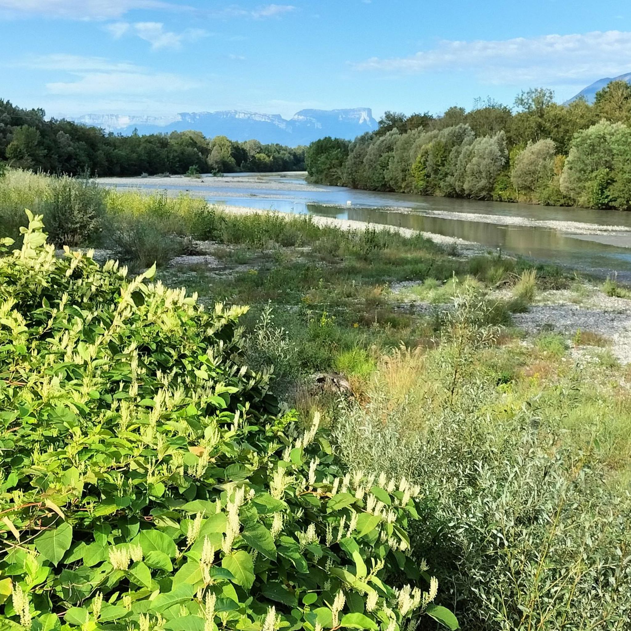
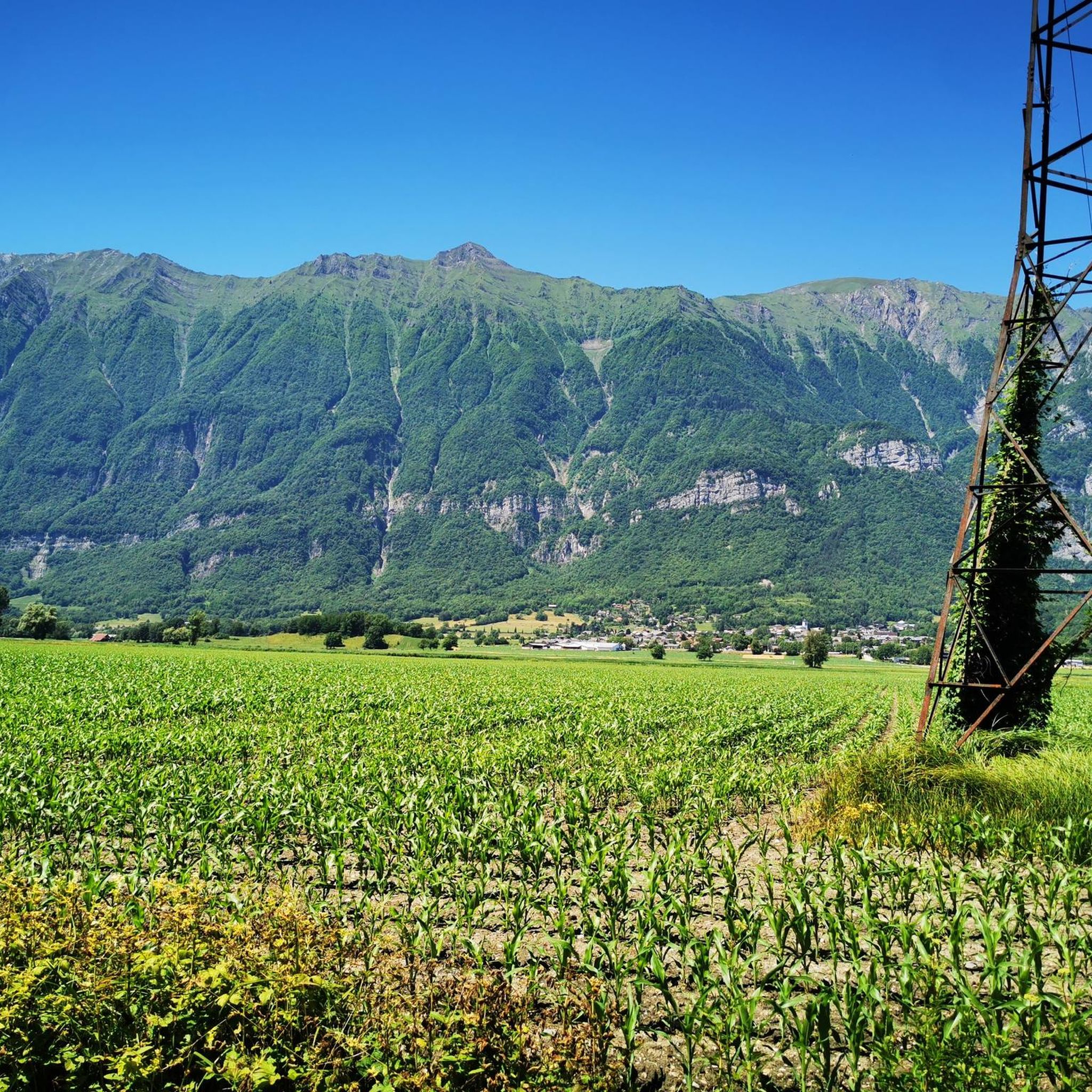
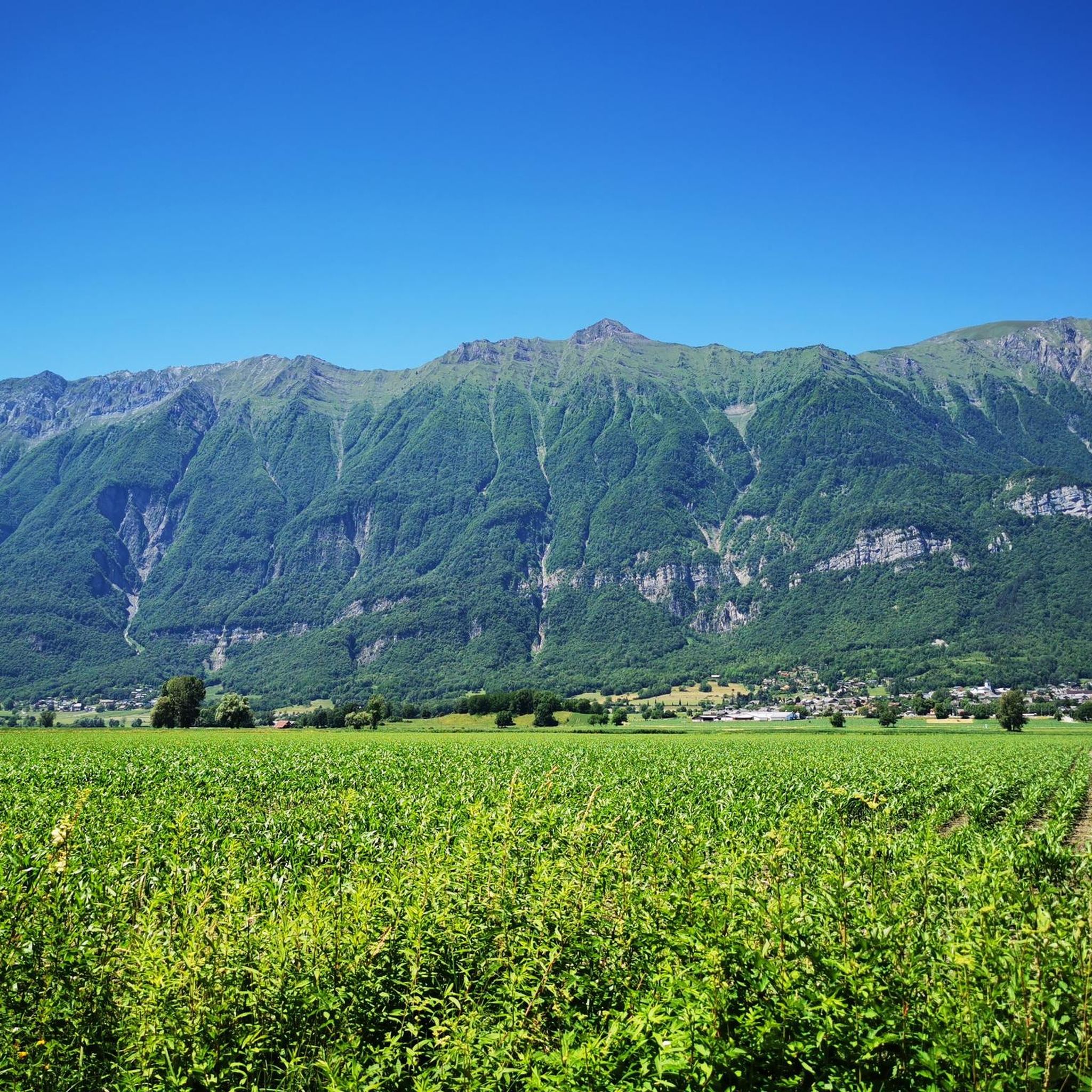
Mountaineering routes around Notre-Dame-Des-Millières are situated in the Savoie department of the Auvergne-Rhône-Alpes region, characterized by mountainous terrain and significant elevation changes. The area offers views of major massifs including the Bauges, Mont Blanc, Aravis, Beaufortain, Vanoise, La Lauzière, Belledonne, and Écrins. Prominent features include peaks like La Belle-Étoile (1,841 meters) and Petite Sambuy (2,107 meters), alongside challenging ascents and varied alpine environments. The landscape supports diverse mountaineering activities across its ridges and valleys.
Best mountaineering routes around Notre-Dame-Des-Millières
- The…
Last updated: October 27, 2026
5
hikers
15.5km
06:44
1,230m
1,220m
Hard mountaineering route. Very good fitness required. Sure-footedness, sturdy shoes and alpine experience required.
5.0
(1)
11
hikers
6.05km
03:44
690m
690m
Moderate mountaineering route. Good fitness required. Mostly walkable paths. Sure-footedness required.

5.0
(1)
3
hikers
8.36km
04:17
700m
710m
Hard mountaineering route. Good fitness required. Sure-footedness, sturdy shoes and alpine experience required.
Our route recommendations are based on thousands of hikes, rides, and runs completed by other people on komoot.
Start today with a free account
Your next adventure awaits.
Popular around Notre-Dame-Des-Millières



Tips from the Community

Amazing views on mount blanc, lac d’ annecy and more beautiful landscape! 😍 Attention, only take the path across the ridge to the chalet de L’Alpettaz if you are a really experienced hiker and like to get some adrenaline. It is super narrow and partly really dangerous. After finishing the dangerous part there is high grass through which the hike continues.
1
0

Chalet under renovation but part of it nevertheless provides shelter.
0
0
Access is quite physical but you are largely rewarded by the sumptuous 360° landscapes once at the top 🤩
1
0

Very nice view with an outstanding 360° Alpine panorama! Coming from the north via Le pas de l'âne, don't underestimate the difficulty of the ridge. At the end of February there was still a lot of snow and the fuses are not in place over the entire length. In parts, the hike has more of a via ferrata character. The ridge is sometimes very narrow and it feels like several hundred meters down to the left and right. But if you are prepared for it and are used to challenging terrain, then it is a super nice hike and absolutely recommendable!
0
0

The Grand Arc is located at 2,484 meters. From here there are splendid views of Mont Blanc, Vanoise and Bauges.
0
0

Wooden alpine chalet with picnic tables where you can eat with splendid views of Lake Annecy and the Bauges.
0
0
A small summit at 1814m straddling Savoie and Haute-Savoie. From here there are superb views of Lake Annecy and Mont Blanc.
1
0
Frequently Asked Questions
How many mountaineering routes are available around Notre-Dame-Des-Millières?
There are over 5 mountaineering routes available around Notre-Dame-Des-Millières, offering diverse experiences for different skill levels. These routes are highly rated by the komoot community, with an average score of 5.0 stars.
When is the best time to go mountaineering in Notre-Dame-Des-Millières?
The best time for mountaineering in Notre-Dame-Des-Millières is generally during the warmer months, from late spring to early autumn, when trails are clear of snow and weather conditions are more stable. However, conditions can vary significantly with altitude, so always check local forecasts and trail conditions before heading out.
Are there challenging mountaineering routes for experienced climbers?
Yes, Notre-Dame-Des-Millières offers several challenging routes. For instance, the Lac Noir – Le Grand Arc loop from Tioulévé is a difficult 9.7-mile trail with significant elevation gain, typically taking over 6 hours. Another demanding option is the Lac de Lavouet – Lac Sans Fond loop from La Bâthie, covering over 11 miles.
Are there any easier mountaineering routes suitable for beginners?
While many routes involve significant elevation, some are considered moderate and could be suitable for beginners with good fitness. The Col d'Orgeval loop from Réserve biologique intégrale du Haut Chéran is a moderate 6.6-mile route that takes around 4 hours 18 minutes, offering a good introduction to the area's terrain.
Can I find circular mountaineering routes in the area?
Yes, many of the mountaineering routes around Notre-Dame-Des-Millières are circular, allowing you to start and end at the same point. Examples include the Col d'Orgeval loop from Réserve biologique intégrale du Haut Chéran and the Croix Perillet and Chevron loop from Plancherine.
What natural landmarks or views can I expect to see along the routes?
The region offers breathtaking panoramic views of major massifs like the Bauges, Mont Blanc, Aravis, and Beaufortain. Along the routes, you might encounter impressive summits such as La Belle-Étoile and Petite Sambuy. You can also explore mountain passes like Tamié Pass and Col d'Orgeval.
Where can I park for mountaineering routes?
Specific parking information for each trailhead is usually detailed on the individual route pages. Generally, you'll find designated parking areas near popular starting points for trails, especially for routes like those leading to Dent du Corbeau or Fort de Tamié. It's advisable to check the route description on komoot for precise parking locations.
Is public transport available to reach the trailheads?
Public transport options to reach specific trailheads directly from Notre-Dame-Des-Millières can be limited due to the mountainous terrain. While regional buses might serve some villages, direct access to remote trailheads often requires a car. It's best to research local bus schedules or consider carpooling for specific routes.
Do I need a permit for mountaineering in this area?
Generally, permits are not required for standard mountaineering routes in the Notre-Dame-Des-Millières area. However, if you plan to enter protected natural reserves or engage in specific activities, it's always wise to check with local authorities or the Parc naturel régional du massif des Bauges for any specific regulations or restrictions.
Are there family-friendly mountaineering options?
While many mountaineering routes in the region are challenging, some moderate trails might be suitable for active families with older children. The Croix Perillet and Chevron loop from Plancherine, for example, is a moderate 4.2-mile path that offers scenic views and can be completed in under 4 hours, making it a potentially good option for families seeking a rewarding experience.
Can I bring my dog on the mountaineering routes?
Regulations regarding dogs on trails can vary, especially within protected areas like the Parc naturel régional du massif des Bauges. While many trails in the general region may allow dogs, they often require them to be on a leash to protect wildlife and ensure the safety of other hikers. Always check specific trail regulations before bringing your dog.
What kind of wildlife might I encounter on the trails?
The diverse alpine environment around Notre-Dame-Des-Millières is home to various wildlife. You might spot chamois, ibex, marmots, and a variety of bird species, including birds of prey. Maintaining a respectful distance and not disturbing their natural habitat is important.
Are there places to eat or drink after a mountaineering trip?
After a rewarding mountaineering trip, you can find cafes and restaurants in nearby villages and towns. Notre-Dame-Des-Millières itself, and surrounding communities like Plancherine or La Bâthie, offer options to refuel and relax. Larger towns in the Savoie region will have a wider selection of eateries.
Most popular routes around Notre-Dame-Des-Millières
Most popular attractions around Notre-Dame-Des-Millières

Get inspired with the komoot mobile app


Explore more
Browse the best Mountain Hikes & Routes in other regions.
