The best road cycling routes around Notre-Dame-Des-Millières
4.6
(461)
21,059
riders
107
rides
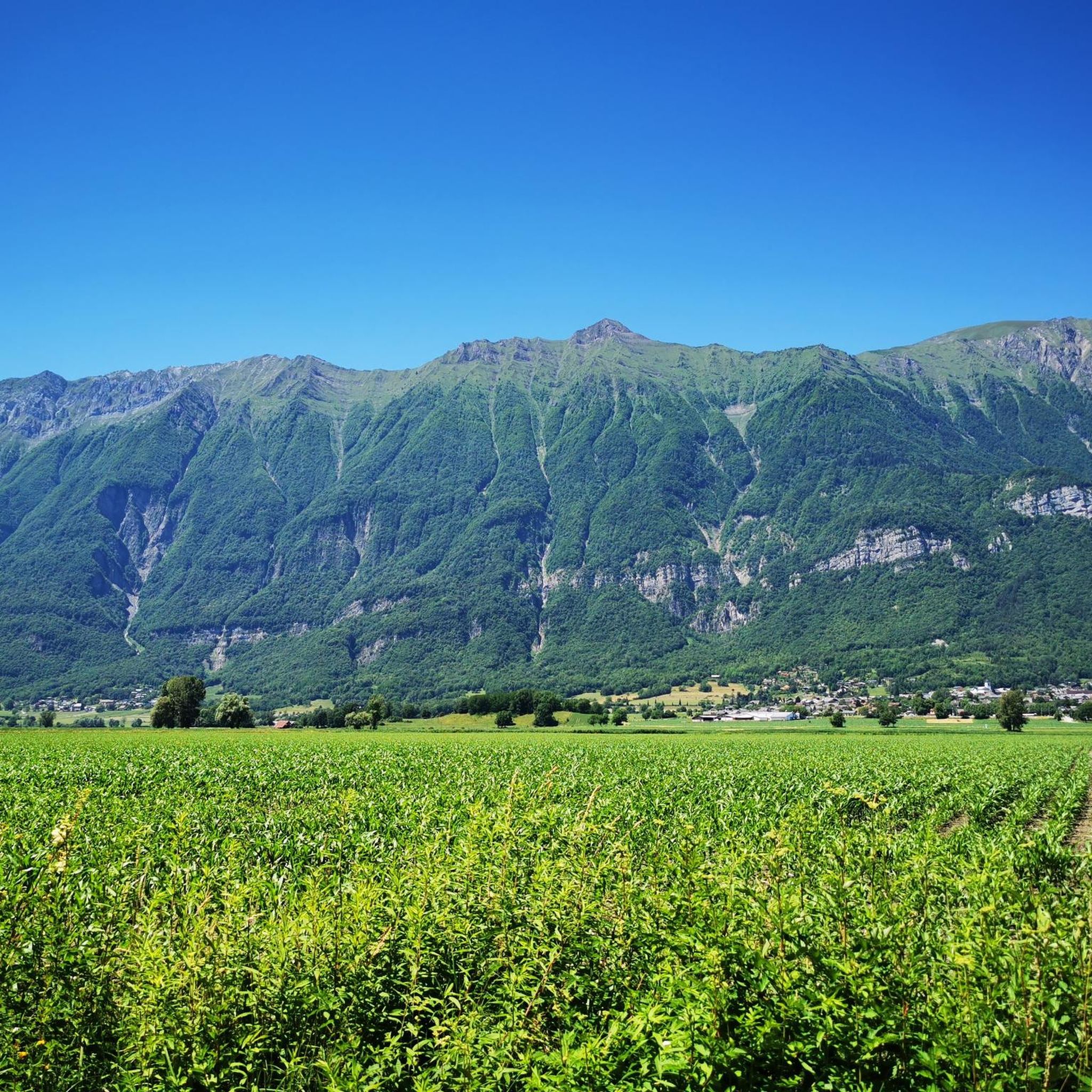
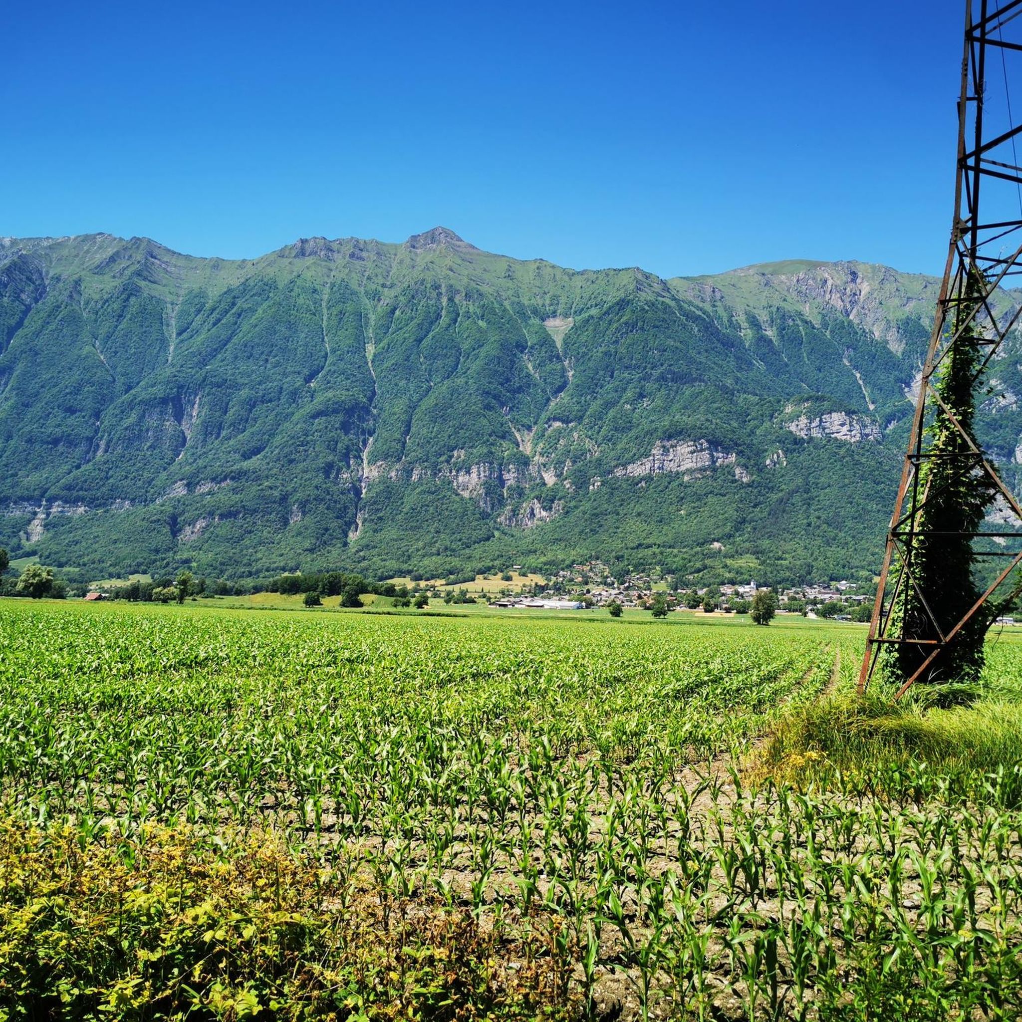
Road cycling routes around Notre-Dame-Des-Millières offer diverse terrain within the Savoie department of the Auvergne-Rhône-Alpes region. The commune's elevation ranges from 311 meters to 2,279 meters, providing options from valley rides to mountain ascents. This varied relief is characteristic of the French Alps, featuring access to mountain passes and scenic alpine landscapes. The area provides a network of routes catering to different fitness levels.
Best road cycling routes around Notre-Dame-Des-Millières
- The most popular road cycling route is Val d'Arly cycle…
Last updated: July 12, 2026
4.5
(45)
953
riders
65.2km
02:43
440m
440m
Moderate road ride. Good fitness required. Mostly well-paved surfaces and easy to ride.
5.0
(3)
315
riders
93.6km
05:24
2,200m
2,200m
Hard road ride. Very good fitness required. Mostly well-paved surfaces and easy to ride.

Sign up for free
4.7
(3)
253
riders
132km
06:21
1,750m
1,750m
Hard road ride. Very good fitness required. Mostly well-paved surfaces and easy to ride.
5.0
(2)
131
riders
205km
10:38
3,260m
3,260m
Hard road ride. Very good fitness required. Some segments of this route may be unpaved and difficult to ride.
4.3
(3)
216
riders
86.6km
04:31
1,470m
1,470m
Hard road ride. Very good fitness required. Mostly well-paved surfaces and easy to ride.
Get access to more routes and recommendations from other explorers.
Sign up for free
Already have an account?
Our route recommendations are based on thousands of hikes, rides, and runs completed by other people on komoot.
Start today with a free account
Your next adventure awaits.
Login or Signup



Tips from the Community

very beautiful view of Mont Blanc
0
0

D109, beautiful descent to Ugine
2
0
Cycle path along the Isere with a bathing spot.
2
0
Beautiful cycle path along the Isere.
2
0
Small street and great views. Little traffic.
2
0
Beautiful cycle path, nice pond with a rest area.
3
0

Even more beautiful downhill
3
0

The road borders the vineyards of Myans. A superb setting in the heart of the Savoie vineyard, with impressive views of Mont Granier.
0
0
Frequently Asked Questions
How many road cycling routes are available around Notre-Dame-Des-Millières?
There are over 100 road cycling routes around Notre-Dame-Des-Millières, offering a wide range of options for different skill levels. You'll find 15 easy routes, 46 moderate routes, and 46 difficult routes to explore.
What is the best time of year for road cycling in Notre-Dame-Des-Millières?
The best time for road cycling in Notre-Dame-Des-Millières, located in the French Alps, is typically from late spring through early autumn. During these months, the weather is generally favorable, and mountain passes are clear of snow, offering access to the full range of routes and stunning alpine scenery.
What are the typical terrain and elevation challenges for road cycling in this region?
The region offers highly varied terrain, characteristic of the Savoie department. You can expect routes ranging from gentle valley rides at elevations as low as 311 meters to challenging mountain ascents reaching up to 2,279 meters. This includes significant elevation gains on routes like the Col des Saisies – Conflans loop from Frontenex, which features over 2,200 meters of climbing.
Are there road cycling routes suitable for beginners or families?
Yes, Notre-Dame-Des-Millières offers routes suitable for various fitness levels. While many routes involve significant climbing, there are 15 easy routes and 46 moderate routes that are more accessible for beginners or families looking for a less strenuous ride. These often include valley rides or loops with less elevation gain.
Can I find long-distance road cycling routes near Notre-Dame-Des-Millières?
Absolutely. The area is ideal for long-distance road cycling. For example, the Lake Saint-André – Abyss Bridge loop from Frontenex covers 132.9 km, and the Col du Télégraphe – Col du Galibier loop from Frontenex is an epic 205 km ride, perfect for experienced cyclists seeking a full-day adventure.
Are there loop road cycling routes available?
Yes, many of the road cycling routes around Notre-Dame-Des-Millières are designed as loops, allowing you to start and finish at the same point. Examples include the popular Val d'Arly cycle route – Véloroute 62 loop from Frontenex and the challenging Collet de Tamié (960 m) – Tamié Pass loop from Frontenex.
What natural features or landmarks can I see along road cycling routes?
Road cycling routes in the region offer stunning alpine scenery. You'll encounter breathtaking views of mountains, flowery pastures, and traditional villages. Nearby attractions include the beautiful Lac d'Annecy and access to famous mountain passes like Col de la Colombière and Col de la Croix-de-Fer. You can also spot peaks such as La Belle-Étoile or Petite Sambuy.
Are there any notable mountain peaks or natural monuments accessible from the routes?
Yes, the region is surrounded by impressive peaks and natural monuments. While cycling, you might catch glimpses of Mont Blanc, and the routes provide access to areas with peaks like Mont d'Armenaz and Fougère Peak. The Parc naturel régional du massif des Bauges is also nearby for further exploration.
Where can I park my car when going road cycling?
Specific parking information for individual trailheads is best checked on the detailed route pages on komoot. Generally, in small communes like Notre-Dame-Des-Millières, you can often find public parking areas in village centers or near popular starting points for routes. For routes starting from Frontenex, look for designated parking within the town.
Is public transport available to reach the cycling routes, especially with a bike?
Public transport options in rural alpine areas can be limited. While local bus services might connect some villages, carrying bikes can be challenging. For detailed information on public transport that accommodates bicycles, it's advisable to consult local transport authorities or the tourist information center in Notre-Dame-Des-Millières or the wider Coeur de Tarentaise region. You can find more information on the regional tourism website: coeurdetarentaise-tourisme.com.
Are there places to eat or stay near the cycling routes?
Yes, the region offers various options for refreshments and accommodation. You'll find cafes, restaurants, and guesthouses in the traditional Savoyard villages along or near the cycling routes. Larger towns in the vicinity will offer more extensive choices for dining and lodging, allowing you to immerse yourself in the local culture after your ride.
Where can I rent a bike or find a bike shop in the area?
While Notre-Dame-Des-Millières itself is a small commune, bike rental services and shops are typically available in larger nearby towns within the Savoie region. It's recommended to check in towns like Albertville or other regional hubs for specialized bike shops and rental options before your visit.
Most popular routes around Notre-Dame-Des-Millières
Most popular attractions around Notre-Dame-Des-Millières

Get inspired with the komoot mobile app


Explore more
Browse the best Road cycling routes in other regions.
