The best mountain hikes around Challand-Saint-Victor
4.5
(2)
29
hikers
2
hikes
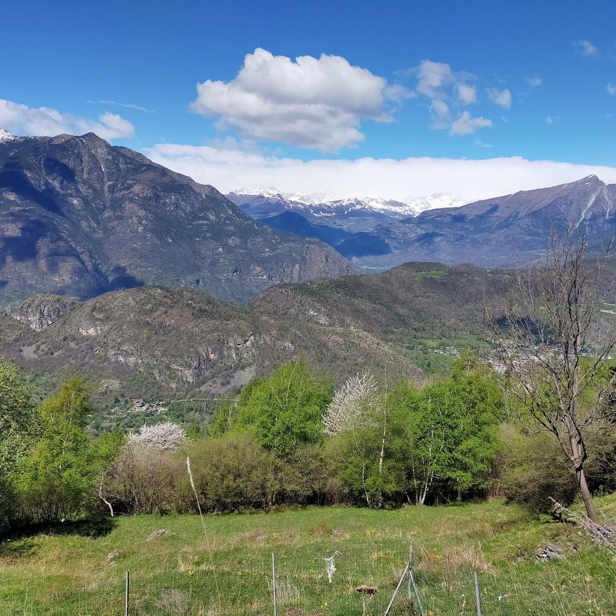
Mountaineering routes around Challand-Saint-Victor are situated in the Aosta Valley, characterized by a diverse landscape ranging from ancient paths through chestnut and walnut woods to challenging excursions towards mountain passes and peaks. The region's terrain includes significant elevation changes, with routes leading to destinations like Dondeuil pass and Becca Torché. Streams and waterfalls, such as the Isollaz Waterfall, add to the natural features encountered on these routes. This area offers a variety of experiences for those exploring the mountainous environment.
…Last updated: June 24, 2026
4.5
(2)
13
hikers
17.3km
07:47
1,130m
1,130m
Hard mountaineering route. Very good fitness required. Sure-footedness, sturdy shoes and alpine experience required.
9
hikers
11.7km
06:44
1,070m
1,070m
Hard mountaineering route. Very good fitness required. Sure-footedness, sturdy shoes and alpine experience required.

Sign up for free
4
hikers
15.8km
07:54
1,270m
1,270m
Hard mountaineering route. Very good fitness required. Sure-footedness, sturdy shoes and alpine experience required.
3
hikers
12.1km
06:36
1,220m
1,220m
Hard mountaineering route. Very good fitness required. Sure-footedness, sturdy shoes and alpine experience required.
Our route recommendations are based on thousands of hikes, rides, and runs completed by other people on komoot.
Start today with a free account
Your next adventure awaits.
Login or Signup
Popular around Challand-Saint-Victor

Cammino Balteo – castles, vineyards and trails of the Aosta Valley

Paths, castles and views of Italy’s Aosta Valley – Cammino Balteo
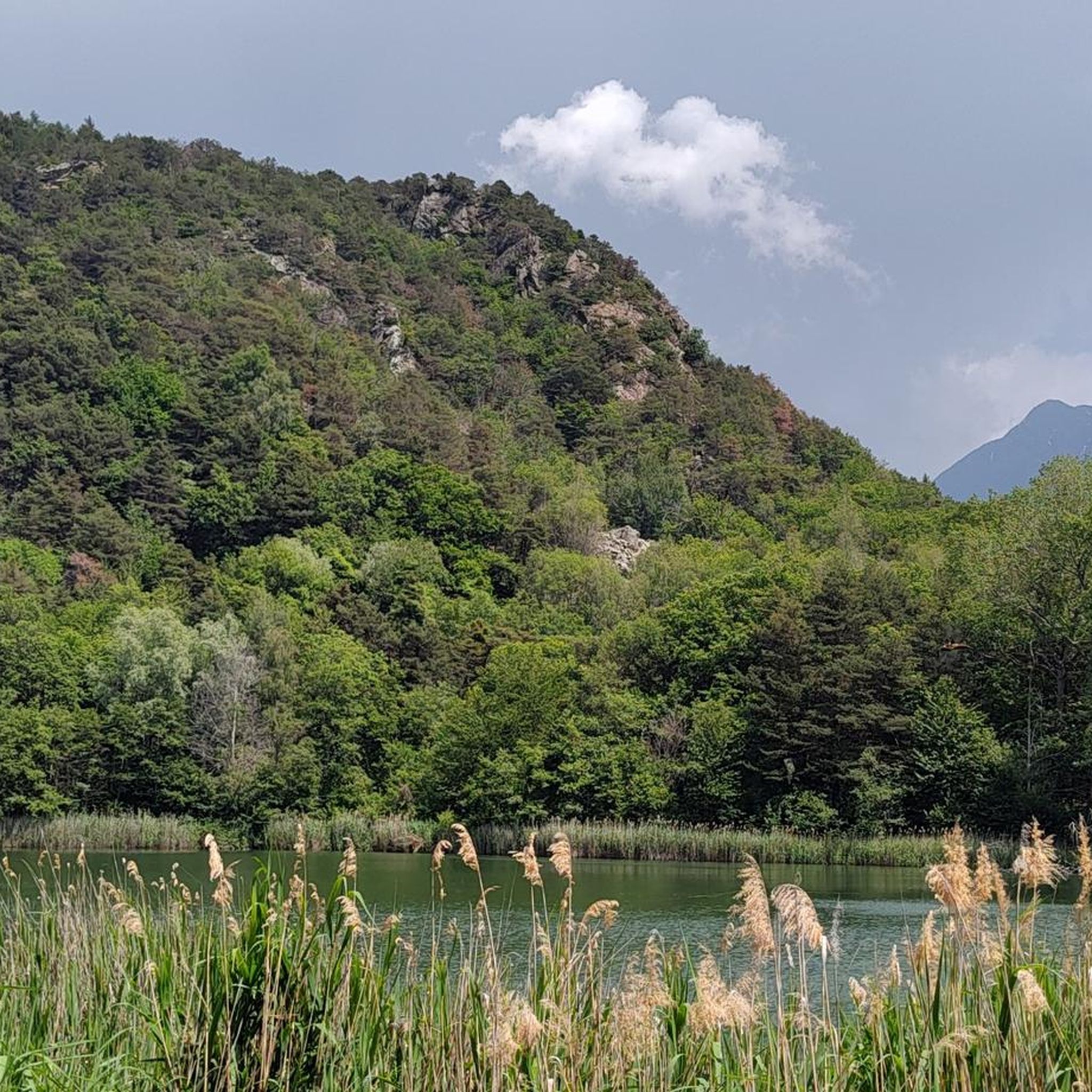
Road Cycling Routes around Challand-Saint-Victor
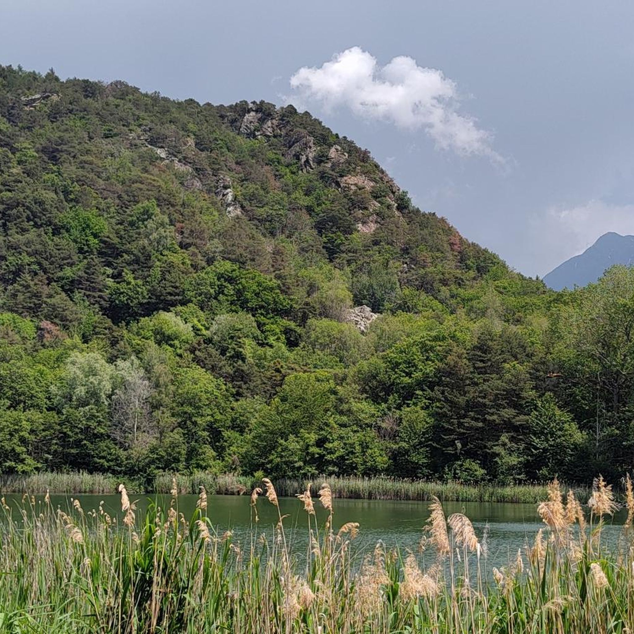
Hiking around Challand-Saint-Victor

Gravel biking around Challand-Saint-Victor
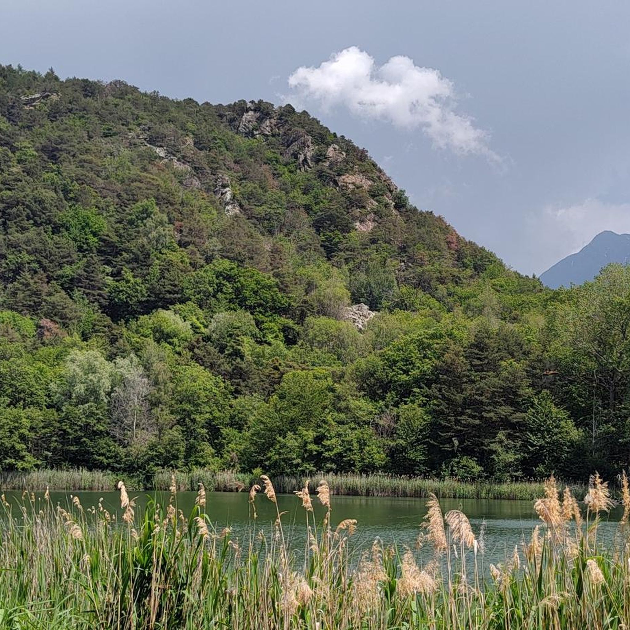
Cycling around Challand-Saint-Victor
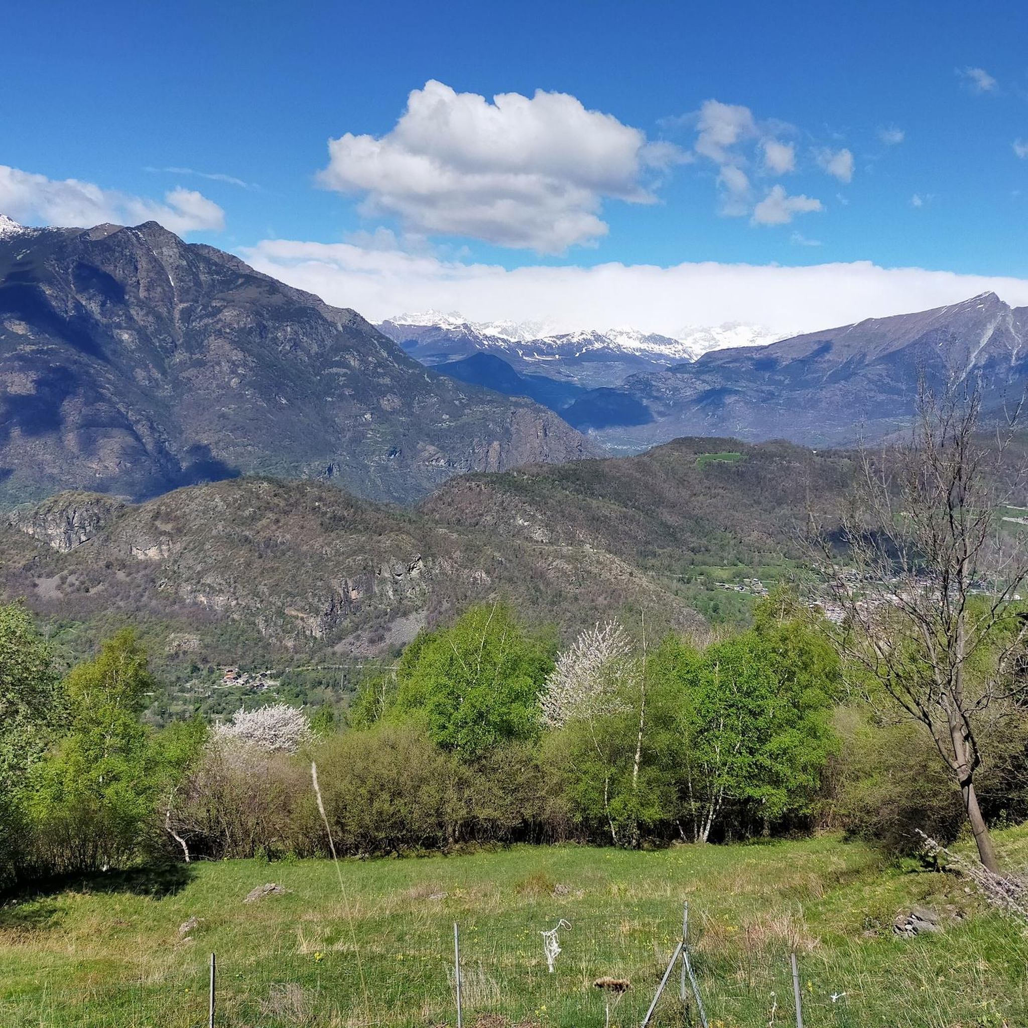
MTB Trails around Challand-Saint-Victor
Running Trails around Challand-Saint-Victor


Tips from the Community

Loop tour starting from Estoul. Punta Palasinaz is the highest and most panoramic point with a 360° view of the peaks and the lakes below. (Difficulty E -- for the ridge EE)Stop and relax at the Arp refuge before the ascent or on the return of the loop from Punta Palasinaz
1
0

Refuge located on the Valdobbia pass, on the border between Piedmont and Aosta Valley, and it is possible to reach it from the Lys valley or from Valsesia, via hiking trails. It is the highest hospice in Europe at 2480 meters above sea level, and it offered hospitality to merchants, wayfarers, and pilgrims who passed through here.
0
0

Last section of the climb to Ospizio Sottile from trail 11 Gressoney
0
0


nice big rest area with benches, playground & restaurant, which was always closed during my time here
0
0

Splendid tour, challenging but spectacular for the view and places
0
0

I recommend going a little further from the refuge to reach the Palasina lakes passing through this little lake.
0
0
Frequently Asked Questions
What kind of terrain can I expect on mountaineering routes around Challand-Saint-Victor?
The routes in Challand-Saint-Victor traverse a diverse landscape. You'll find ancient paths winding through chestnut and walnut woods, leading to more challenging excursions towards mountain passes and peaks. Expect significant elevation changes, with some trails reaching high-altitude destinations like Dondeuil pass and Becca Torché. The presence of streams and waterfalls, such as the Isollaz Waterfall, also adds to the natural features you'll encounter.
Are there any circular mountaineering routes in Challand-Saint-Victor?
Yes, several mountaineering routes in the area are designed as loops, offering a varied experience without retracing your steps. For example, the View of the Lakes – Corno Bussòla loop from Praitou is a challenging option, while the Snow-Covered Mountain Peak loop from Champorcher offers a moderate, high-altitude experience.
What natural features and landmarks can I see along the mountaineering routes?
The region is rich in natural beauty. You can explore stunning lakes such as Lake Muffé and Lake Ville. The impressive Isollaz Waterfall, formed by the Evançon stream, is another notable natural attraction. Higher up, routes lead to mountain passes like Col de Joux and offer panoramic views from spots like Colle du Lac Blanc.
When is the best time of year for mountaineering in Challand-Saint-Victor?
Challand-Saint-Victor, situated in the Aosta Valley, benefits from a mild climate. While specific seasonal conditions can vary, generally the warmer months from late spring to early autumn offer the most favorable conditions for mountaineering, allowing access to higher passes and peaks. Depending on the season, you might even encounter snow-covered peaks on routes like the Snow-Covered Mountain Peak loop from Champorcher.
Are there any family-friendly mountaineering options or easier trails for beginners?
While many routes in this guide are rated difficult, there is a moderate option suitable for those with some experience or looking for a less strenuous challenge. The Snow-Covered Mountain Peak loop from Champorcher is a moderate 5.4-mile (8.8 km) path that provides access to high-altitude scenery. For very young families or absolute beginners, the region also offers ancient paths through woods and serene walks around the Lake Villa Nature Reserve, which might be more suitable starting points before attempting mountaineering routes.
What do other mountaineers enjoy most about the routes in Challand-Saint-Victor?
The mountaineering routes around Challand-Saint-Victor are highly rated by the komoot community, with an average score of 4.75 stars from over 5 reviews. Mountaineers often praise the diverse terrain, from ancient wooded paths to challenging high-alpine excursions, and the rewarding views of lakes and peaks. The variety of experiences, from moderate ascents to difficult challenges, is also frequently highlighted.
Are dogs allowed on the mountaineering trails?
While specific regulations for each trail can vary, many outdoor areas in the Aosta Valley are generally dog-friendly, especially if dogs are kept on a leash. It's always advisable to check local signage at trailheads or consult with local tourism offices for the most up-to-date information regarding specific routes or protected areas like the Lake Villa Nature Reserve.
What are some of the more challenging mountaineering routes in the area?
For experienced mountaineers seeking a challenge, routes like the View of the Lakes – Corno Bussòla loop from Praitou, the Cresta Carisey loop from Fontainemore, and the Lago della Serva – Lago di Leser loop from Covarey offer significant elevation gains and demanding terrain. These routes provide an authentic high-alpine experience with expansive views.
Can I spot wildlife while mountaineering in Challand-Saint-Victor?
Yes, the diverse natural landscape of Challand-Saint-Victor, particularly around areas like the Lake Villa Nature Reserve, is home to diverse wildlife. While specific sightings are never guaranteed, keeping an eye out in quieter sections of the trails, especially during dawn or dusk, may offer opportunities to observe local fauna.
Is there parking available near the trailheads for mountaineering routes?
While specific parking information for each individual trailhead is not detailed here, Challand-Saint-Victor is a base for exploring the Aosta Valley, and many trailheads in such regions typically have designated parking areas, often in or near the starting villages like Praitou, Champorcher, or Fontainemore. It is recommended to check local maps or specific route details for precise parking locations before your trip.
How many mountaineering routes are available in this guide for Challand-Saint-Victor?
This guide features 4 distinct mountaineering routes around Challand-Saint-Victor, offering a range of difficulties from moderate to difficult. These routes provide diverse experiences across the region's varied terrain.
Are there any routes that feature lakes or mountain passes?
Absolutely. The View of the Lakes – Corno Bussòla loop from Praitou offers expansive views of several lakes. Another route, the Lago della Serva – Lago di Leser loop from Covarey, specifically highlights two beautiful lakes. The region is also known for its mountain passes, with routes leading to destinations like Dondeuil pass and the Ranzola Pass.
Most popular routes around Challand-Saint-Victor
Most popular attractions around Challand-Saint-Victor

Get inspired with the komoot mobile app


Explore more
Browse the best Mountain Hikes & Routes in other regions.
