The best gravel rides around Challand-Saint-Victor
4.8
(18)
62
riders
12
rides
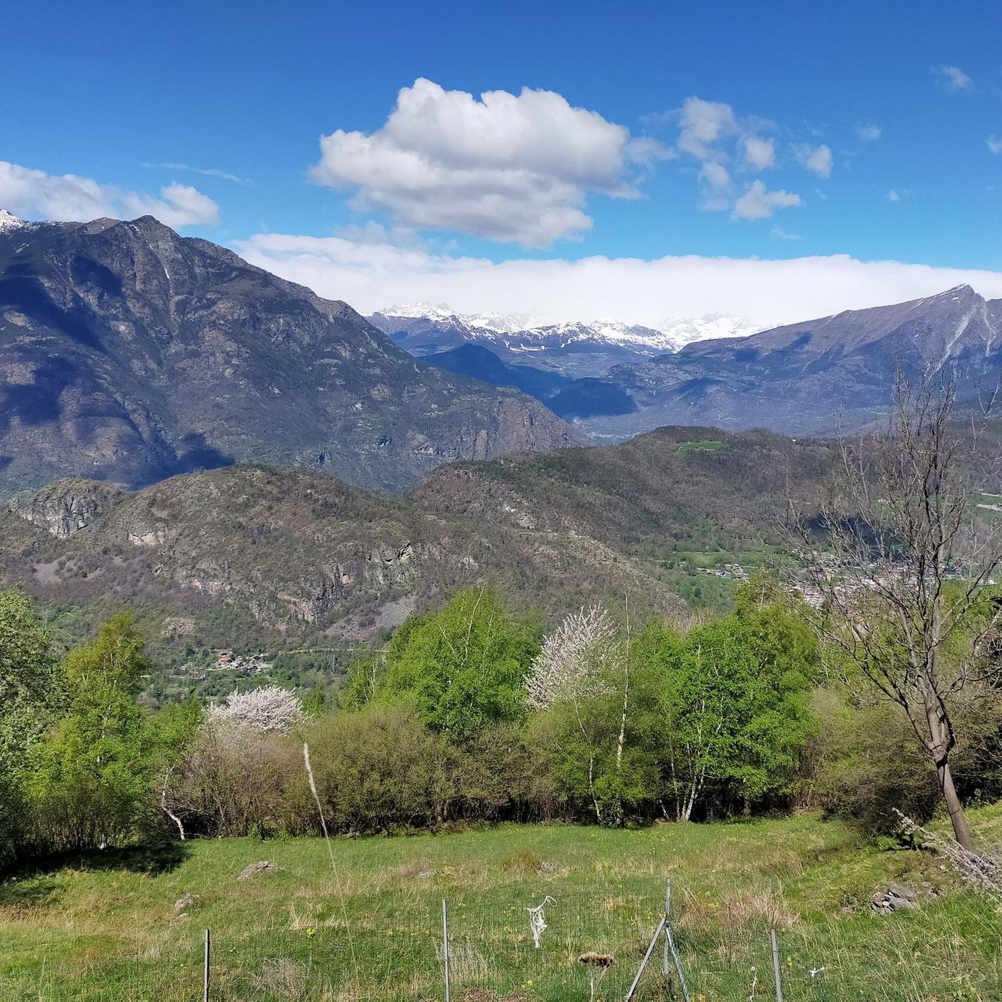
Gravel biking around Challand-Saint-Victor offers routes through the mountainous terrain of the Aosta Valley. The region is characterized by alpine valleys, forested slopes, and significant elevation changes, providing varied surfaces for gravel cyclists. Trails often follow riverbeds or climb towards higher pastures, connecting small villages and offering panoramic views of the surrounding peaks.
Best gravel bike trails around Challand-Saint-Victor
- The most popular gravel bike trail is Monterosa Gravel Experience, a 15.0 miles (24.2 km) trail that takes 2 hours…
Last updated: October 8, 2026
5.0
(4)
12
riders
24.2km
02:27
690m
690m
Hard gravel ride. Very good fitness required. You may need to push your bike for some segments of this route.
23.0km
04:40
1,920m
110m
Hard gravel ride. Very good fitness required. You may need to push your bike for some segments of this route.

5.0
(1)
1
riders
25.0km
02:25
830m
830m
Hard gravel ride. Very good fitness required. Mostly paved surfaces. Suitable for all skill levels.
1
riders
16.1km
01:25
430m
430m
Moderate gravel ride. Good fitness required. Mostly paved surfaces. Suitable for all skill levels.
5.0
(1)
26
riders
32.8km
03:16
1,360m
1,360m
Hard gravel ride. Very good fitness required. Mostly paved surfaces. Suitable for all skill levels.
Get access to more routes and recommendations from other explorers.
Already have an account?
Our route recommendations are based on thousands of hikes, rides, and runs completed by other people on komoot.
Start today with a free account
Your next adventure awaits.
Popular around Challand-Saint-Victor

Cammino Balteo – castles, vineyards and trails of the Aosta Valley

Paths, castles and views of Italy’s Aosta Valley – Cammino Balteo
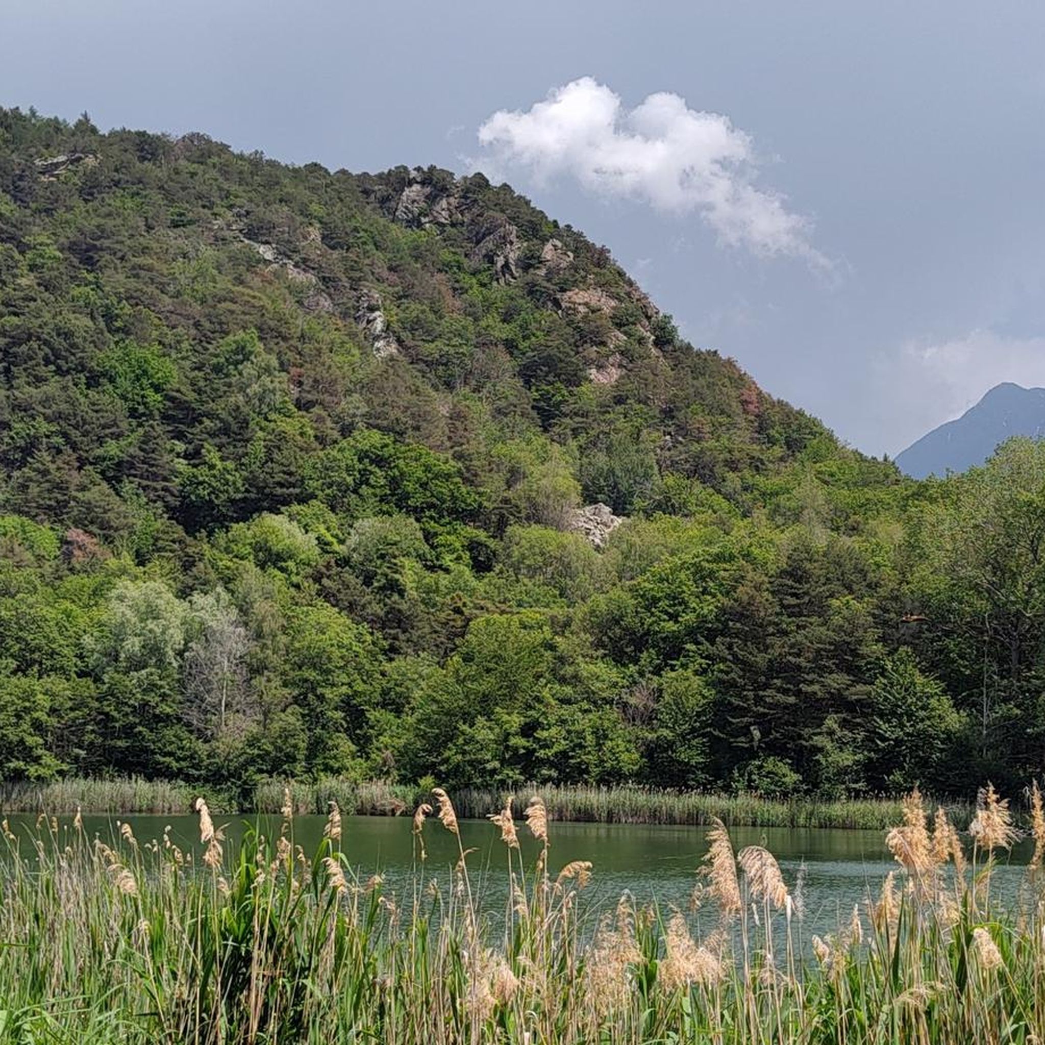
Road Cycling Routes around Challand-Saint-Victor
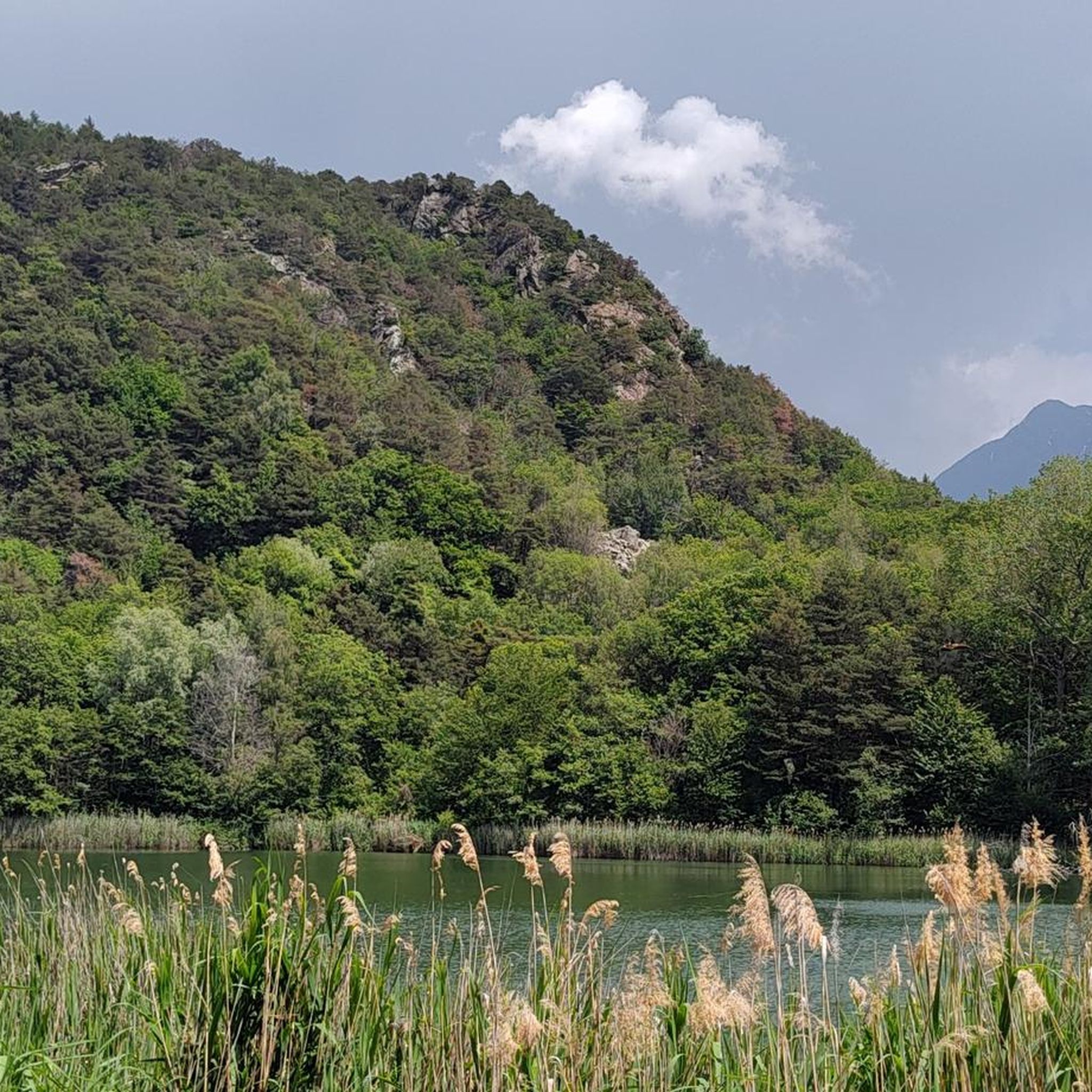
Hiking around Challand-Saint-Victor
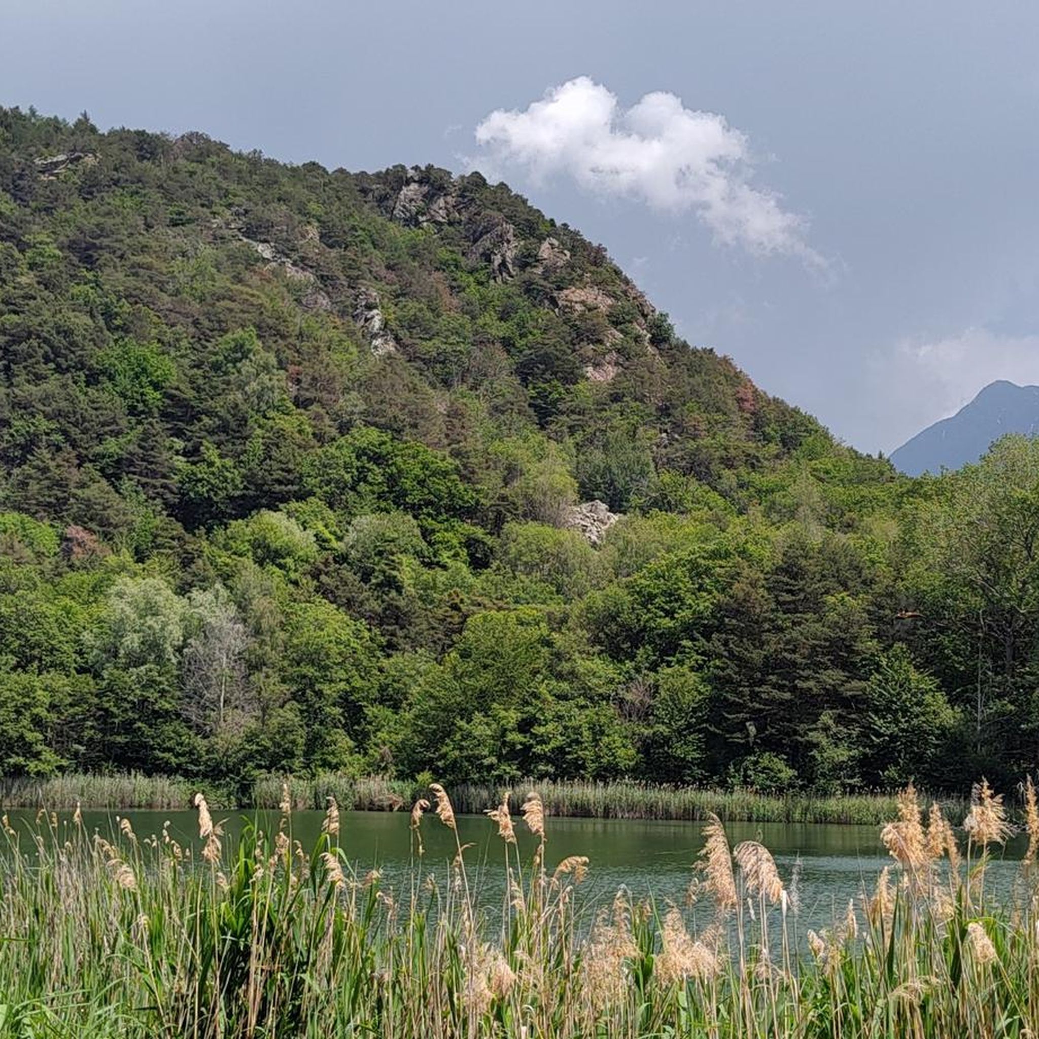
Cycling around Challand-Saint-Victor
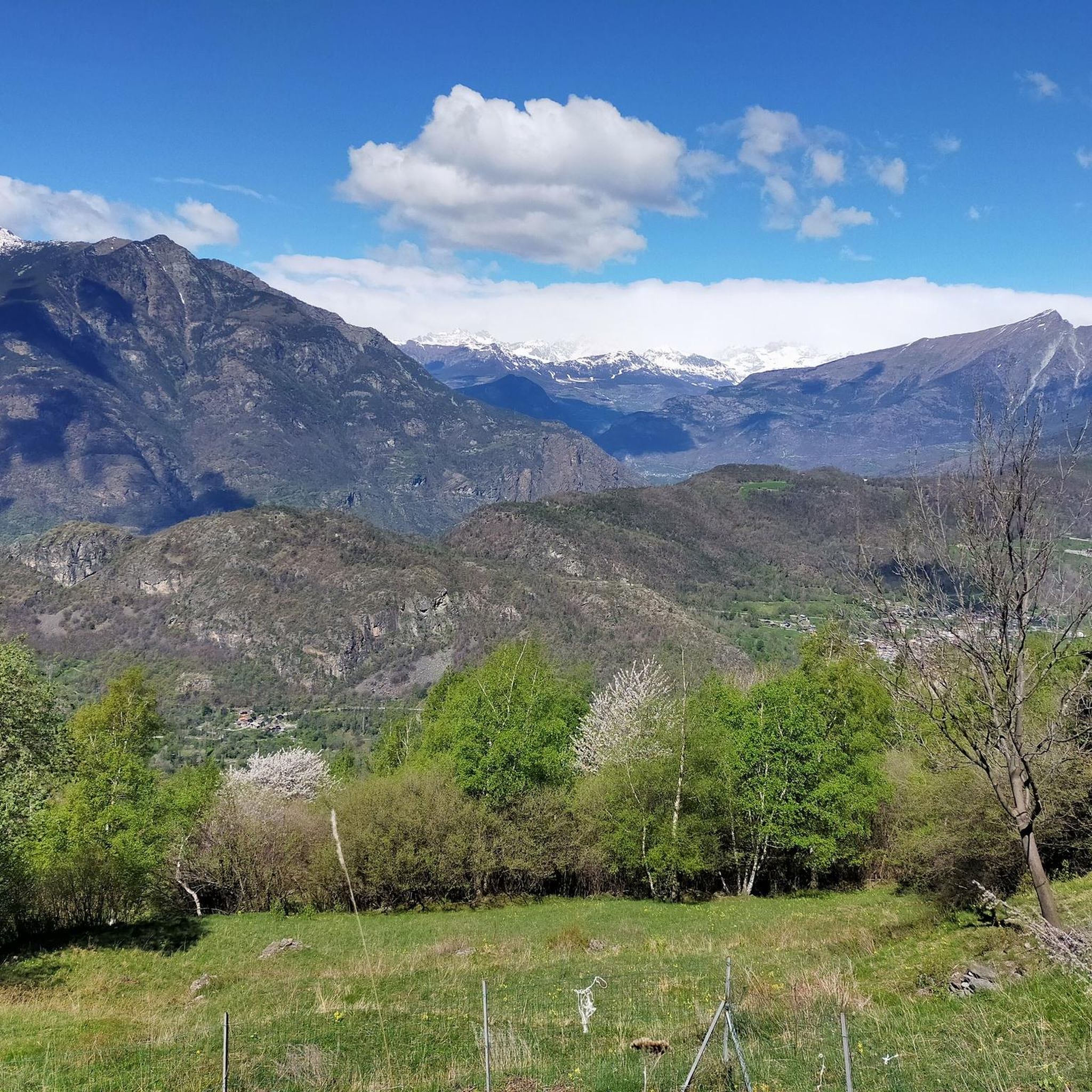
MTB Trails around Challand-Saint-Victor
Running Trails around Challand-Saint-Victor

Mountain Hikes around Challand-Saint-Victor


Tips from the Community


Even the non-snowy ski slopes in summer are suitable for MTB excursions
0
0
passable with all types of bikes, then entering Monavic park the path becomes dirt and leaves space only for gravel, mountain bike or e-bike
0
0
do not underestimate the climb, equip yourself for possible rain
0
0


In this stretch, the Via Francigena follows the ancient Roman route of the Via delle Gallie, where the paving retains the ruts of millennia-old carts. Connecting Augusta Prætoria to the Alpine passes, this strategic road shaped the landscape with rest stops and villages, some of whose names still indicate the distance in miles from the city. Traveling it today means experiencing a direct connection between the spiritual journey of medieval pilgrims and the engineering of the Romans.
0
0
Saint-Germain Castle (or Montjovet Castle), of uncertain origins, marked the history of the Aosta Valley, passing from the Savoy to the Challant family, before finally returning to the Savoy in 1438. Used as a military garrison by Amadeus VIII, it was abandoned in 1661 when the garrison was transferred to the Bard Fort. Completing the site is the Church of Saint-Germain: a small Romanesque building that, through frescoes and architectural details, preserves the spiritual memory of the local community.
1
0
The hamlet of Le Bourg can be easily reached by bicycle, passing under the highway overpass. The village is worth a visit for its characteristic keeled-arch windows, frescoes, and ancient signs that tell the story of the town. Also not to be missed is the church of San Rocco, perched on a rocky outcrop and offering a panoramic view of the valley.
2
0
Frequently Asked Questions
How many gravel bike trails are available around Challand-Saint-Victor?
There are 17 gravel bike routes available around Challand-Saint-Victor. The majority of these are categorized as difficult, with a few moderate options, catering primarily to experienced gravel bikers.
What is the general difficulty level of gravel biking in Challand-Saint-Victor?
Gravel biking around Challand-Saint-Victor is characterized by challenging terrain, with most routes being of moderate to difficult ability levels. This region is best suited for experienced gravel bikers due to significant elevation changes and alpine conditions.
Are there any loop trails for gravel biking in Challand-Saint-Victor?
Yes, there are several loop trails available. A notable option is the Col d'Arlaz loop, which covers approximately 25 km (15.5 miles) with substantial elevation gain, offering a challenging circular ride.
What are some of the longer gravel bike routes in the area?
For a longer ride, consider the Dondena Hut – Lake Miserin loop from Champorcher, which spans nearly 28 km (17.4 miles) and features over 1,100 meters of ascent. Another option is the Monterosa Gravel Experience, a 24.2 km (15.0 miles) trail with challenging ascents.
What can I see along the gravel bike trails in Challand-Saint-Victor?
The trails often offer panoramic views of the Aosta Valley's alpine scenery. You might encounter natural attractions like the Arlaz Waterfall or the Cascata del Bouro. For historical interest, the Fort Bard is also nearby.
Are there any specific routes that explore scenic valleys?
Yes, the Valle di Champorcher Cycle Route is a difficult 23 km (14.3 miles) path that explores a scenic valley with substantial climbs, offering beautiful views of the region.
What is the best time of year for gravel biking in Challand-Saint-Victor?
The best time for gravel biking in Challand-Saint-Victor is typically from late spring to early autumn (May to October) when the weather is milder and trails are clear of snow. Winter conditions can make many higher-altitude routes impassable.
Are there any routes that pass through hilly terrain with rewarding views?
Absolutely. The route On the hill of Montjovet is a 16.1 km (10.0 miles) trail that leads through hilly terrain, providing rewarding views of the surrounding landscape.
What do other gravel bikers enjoy the most about gravel biking in Challand-Saint-Victor?
The area is highly rated by the komoot community, with an average score of 4.7 stars from over 12 reviews. Reviewers often praise the challenging ascents, the diverse alpine scenery, and the sense of adventure offered by the trails.
Are there any specific highlights or landmarks to look out for?
Beyond the trails themselves, you can find points of interest such as Lake Muffé, the Barbustel Refuge at Lac Blanc, and the Col de Joux. These offer great spots for a break or to enjoy the views.
Is Challand-Saint-Victor suitable for beginner gravel bikers?
Challand-Saint-Victor primarily offers routes for moderate to difficult ability levels, characterized by significant elevation changes. While there are no routes specifically classified as 'easy,' some moderate trails might be manageable for beginners with good fitness and bike handling skills, but the region is generally more suited for experienced riders.
Most popular routes around Challand-Saint-Victor
Most popular attractions around Challand-Saint-Victor

Get inspired with the komoot mobile app


Explore more
Browse the best Gravel rides in other regions.
