The best waterfall hikes and walks around Baldeneysee
4.5
(47035)
190,608
hikers
6
hikes
Waterfall hiking trails around Baldeneysee offer a diverse landscape characterized by the expansive Lake Baldeney, surrounded by varied topography. The region features steep forests, open fields, and significant natural areas like the Ruhr Wetlands and Heisinger Bogen Bird Sanctuary. Hikers can explore paths along the lake's shores and venture into the hilly hinterland, where streams and natural water features contribute to the area's appeal.
Best waterfall hiking trails around Baldeneysee
- The most popular waterfall hiking route is Scenic Field Path…
Last updated: May 13, 2026
4.3
(18)
43
hikers
Hard hike. Very good fitness required. Easily-accessible paths. Suitable for all skill levels.
4.8
(8)
21
hikers
Hard hike. Very good fitness required. Easily-accessible paths. Suitable for all skill levels.

Sign up for free
4.5
(2)
16
hikers
18.3km
05:06
340m
340m
Hard hike. Very good fitness required. Easily-accessible paths. Suitable for all skill levels.
4.3
(4)
5
hikers
Easy hike. Great for any fitness level. Easily-accessible paths. Suitable for all skill levels.
5.0
(1)
4
hikers
Easy hike. Great for any fitness level. Easily-accessible paths. Suitable for all skill levels.
Our route recommendations are based on thousands of hikes, rides, and runs completed by other people on komoot.
Start today with a free account
Your next adventure awaits.
Login or Signup
Popular around Baldeneysee
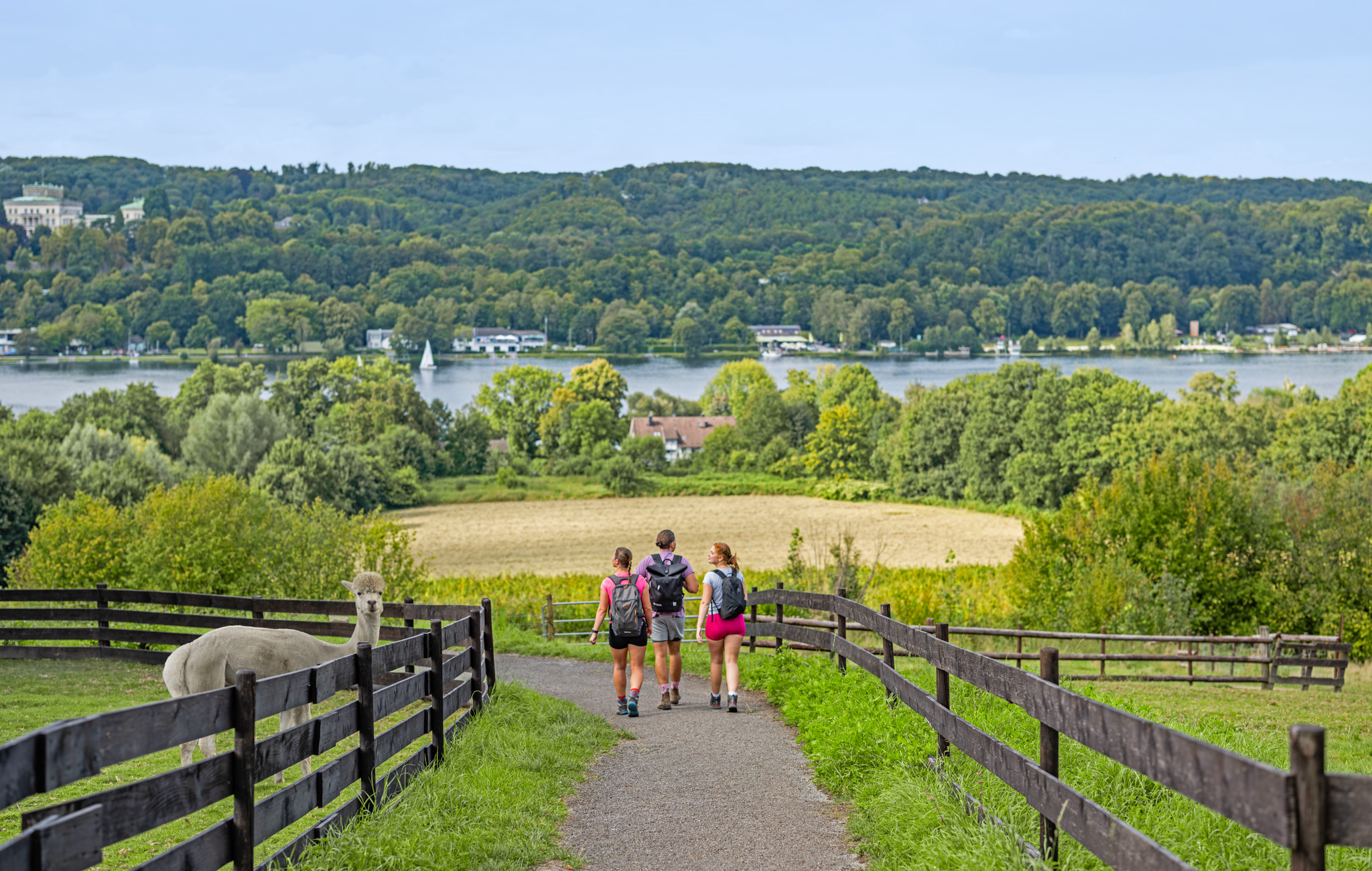
Essen – the most unforgettable hiking weekend of 2026!
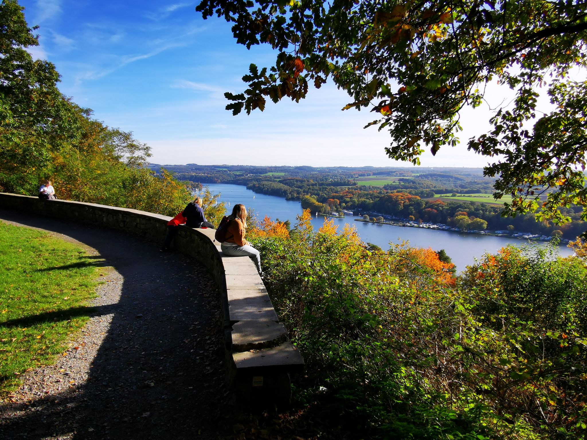
The outdoors on your doorstep – hiking loops in Essen
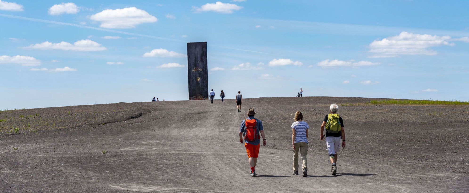
Aiming high – Essen hiking trails
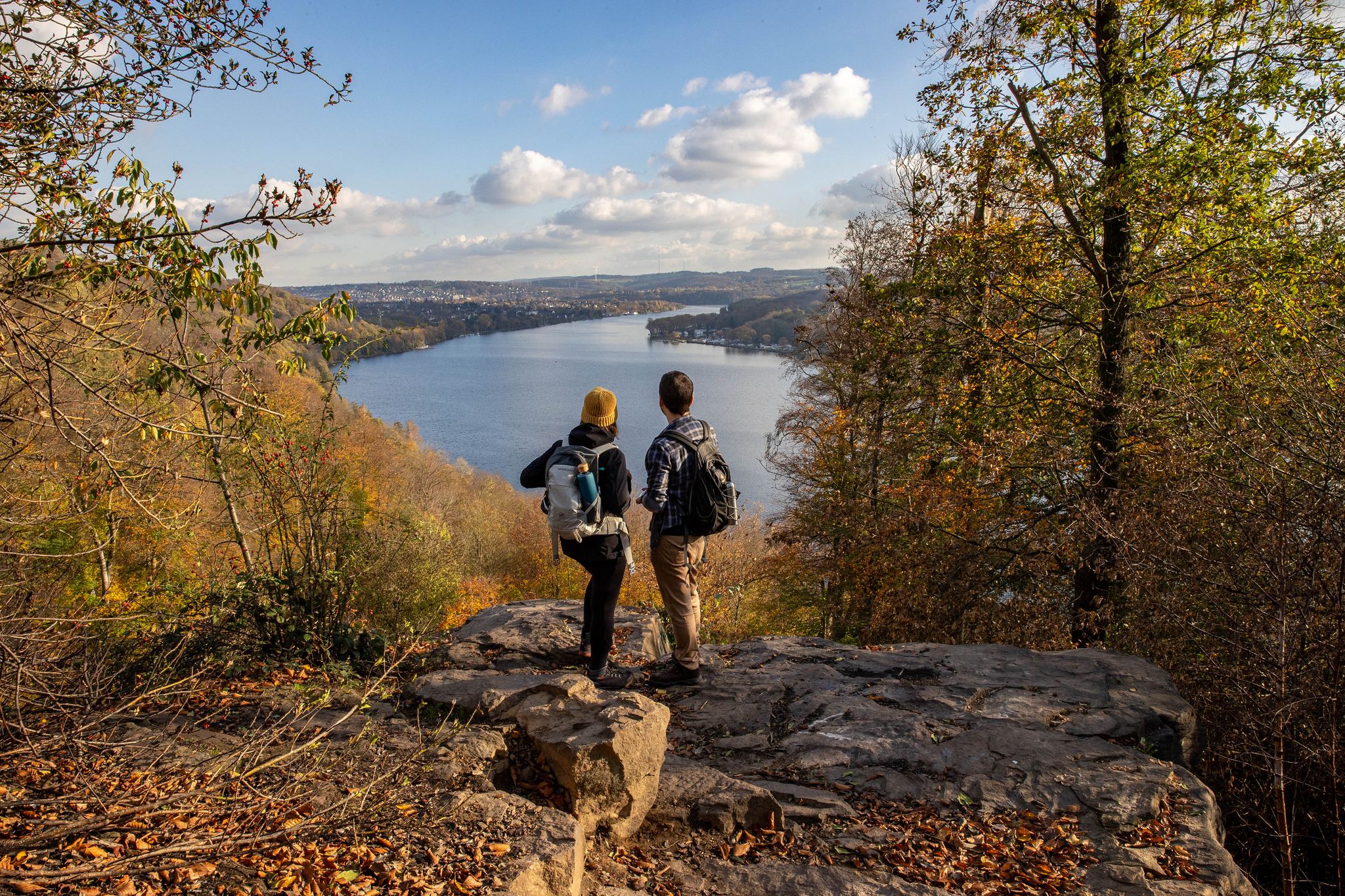
Essen gets hiking – day of the hiking paths 2024
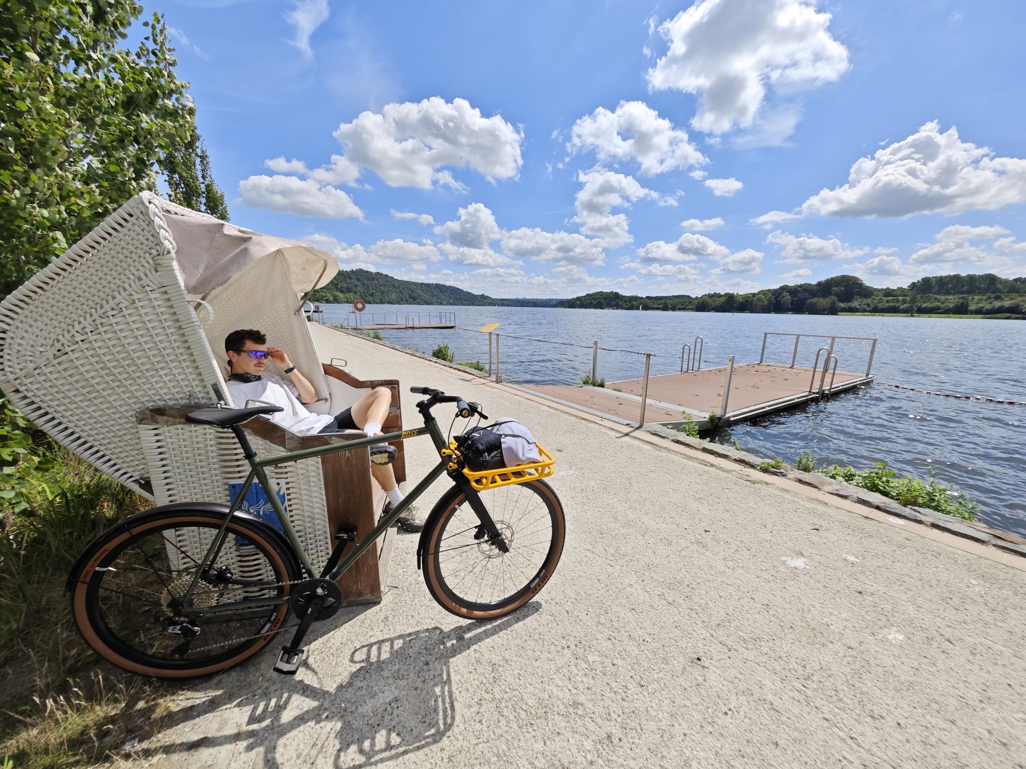
Industrial culture and the green Ruhr valley – cycling in Essen
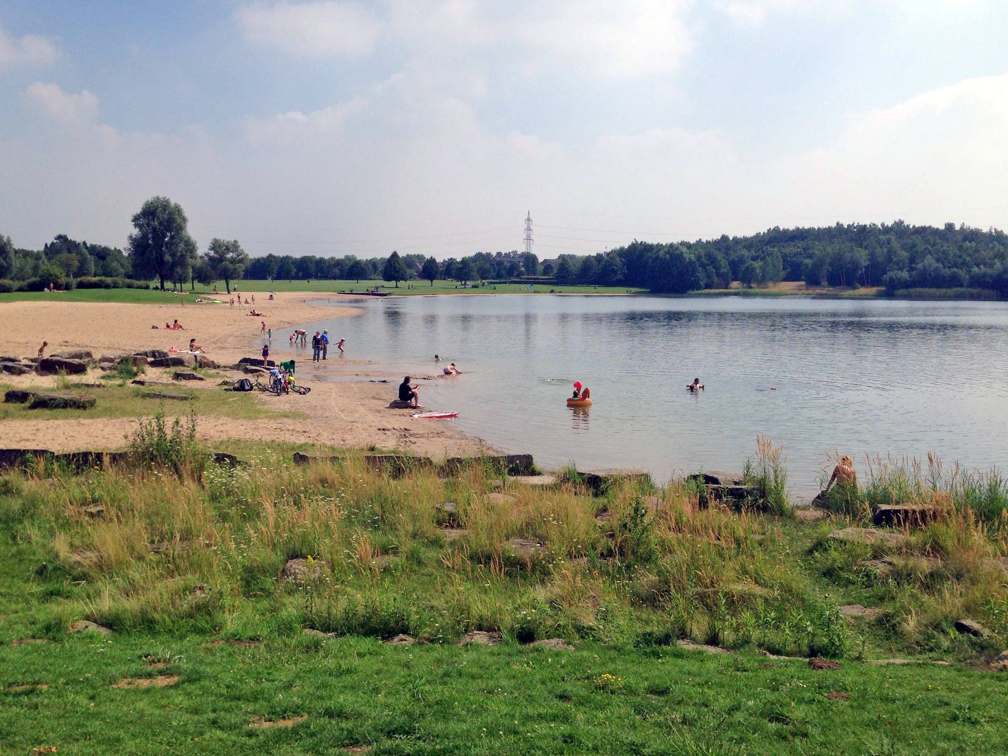
The best swimming lakes in the Ruhr Area
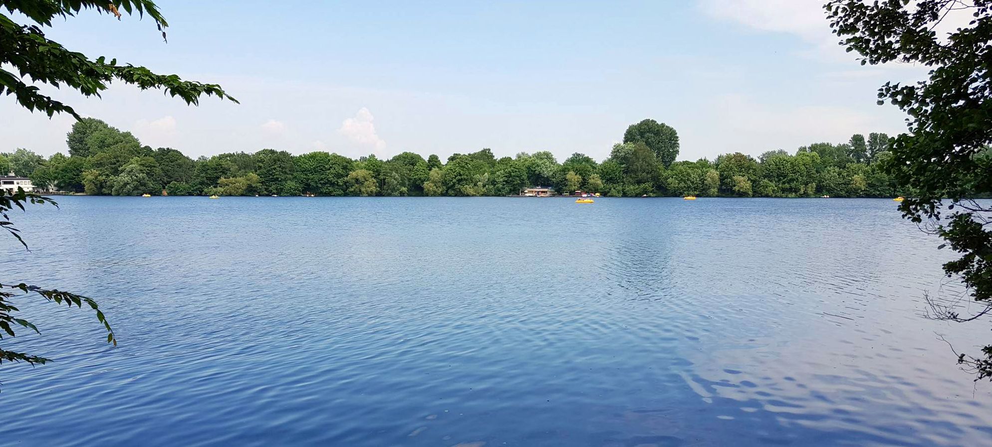
The most beautiful swimming lakes around Düsseldorf
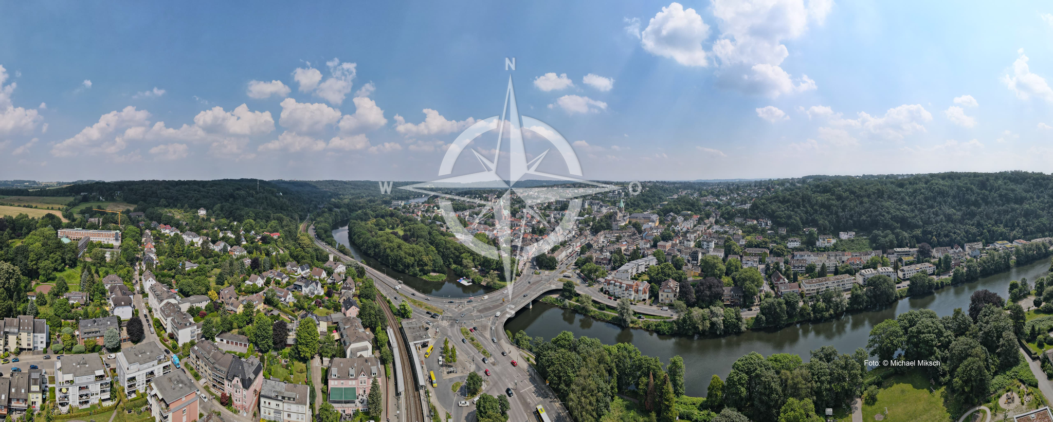
1. Fahrradfreundliche Entdeckungsreisen durch die Region
Other adventures around Baldeneysee


Tips from the Community

The Oefter Bachtal nature reserve in southern Essen (near Kettwig/Heidhausen) is an idyllic stream valley of approximately 87 hectares with a near-natural stream course, riparian forests, and old beech stands. It is home to rare species such as the kingfisher and the dipper. The area is a popular hiking destination with steep slopes and small side valleys. The Oefter Bach is a 4.8 km long, left-bank tributary of the Ruhr River in North Rhine-Westphalia.
1
0
The Oefter Bach is a 4.8 km long, orographically left tributary of the Ruhr River in North Rhine-Westphalia, flowing along the bottom of a deeply incised valley. The actual floodplain is only between forty and one hundred meters wide. Moisture-loving stands of alder and poplar extend across the valley floor. The rather steep valley slopes are predominantly covered with beech, pedunculate oak, and other tree species, some of which are 120 to 150 years old. Numerous small side valleys with narrow streams feed the Oefter Bach.
1
0
The area is considered a valuable part of the lower Ruhr valley and is ideal for quiet walks and nature observation.
1
0
The Oefter Tal nature reserve in southern Essen (approximately 87 hectares) is a near-natural, narrow valley formed by the Oefter Bach stream, characterized by riparian forests, steep beech and oak slopes, and high biodiversity. It provides habitat for rare species such as the kingfisher and dipper. The area is a popular hiking destination (e.g., near Kettwig/Werden). Highlights and features: Nature experience: A deeply incised valley with a near-natural, meandering stream that flows into the Ruhr River. Flora & Fauna: Alder-poplar riparian forests, old beech stands (120–150 years old), of high importance for the network of habitats. Hiking: Idyllic circular trails, such as an approximately 7.6 km long tour (Oefter Tal and Alteburg) or loops along the ridge, offer scenic views and nature experiences. Accessibility: Located in the south of Essen, accessible via Heidhausen/Kettwig, near Oefte Castle. Protection status: The area is protected and further developed by the Ruhr Regional Association (RVR) through management plans.
1
0

I've discovered another beautiful part of the Ruhr area.
0
0


beautiful paved bike path along the river
3
0

There's always something to see at Lake Baldeney: sailors and other water sports enthusiasts, and waterfowl (Canadian wild geese, Egyptian geese, swans, cormorants, etc.). The lake is framed by copper beech slopes in most places. Pedestrians, cyclists, and skaters should be considerate of one another on the lakeside paths. It can get very crowded on weekends. Haus Scheppen is a popular meeting place for people on motorcycles.
1
0
Frequently Asked Questions
How many waterfall hiking trails are available around Baldeneysee?
There are 6 dedicated waterfall hiking trails around Baldeneysee featured in this guide, ranging from easy strolls to more challenging routes. These trails allow you to explore the diverse landscape and natural water features of the region.
Are the waterfalls around Baldeneysee natural or artificial?
The Baldeneysee area features natural water features and streams that contribute to its appeal, such as the Pfefferbach Waterfall mentioned in some routes. While the region is known for its reservoirs, the hiking trails often follow natural stream beds and valleys, offering a genuine natural experience.
When is the best time of year to experience the waterfalls around Baldeneysee?
The best time to experience the waterfalls and streams around Baldeneysee is typically during spring after snowmelt or heavy rainfall, when water levels are higher. Autumn also offers a beautiful backdrop with changing foliage, creating a spectacular 'Indian Summer' effect in the extensive forests.
What kind of terrain can I expect on waterfall hikes around Baldeneysee?
The terrain around Baldeneysee is quite varied. You can expect a mix of well-maintained paths along the lake's shores, as well as more challenging routes in the hilly hinterland with steep forests and narrow paths. Some trails, like the Stream Trail in the Oefter Tal Nature Reserve, wind through natural settings following streams.
Are there easy waterfall hikes suitable for beginners or families around Baldeneysee?
Yes, there are easy waterfall hikes perfect for beginners and families. For instance, the Singletrack Across the Field – Pfefferbach Waterfall loop is an easy 2.1-mile (3.4 km) trail that can be completed in under an hour, offering a gentle introduction to the area's water features.
What is the typical length and duration of waterfall hikes in the Baldeneysee area?
The waterfall hikes around Baldeneysee vary significantly in length and duration. You can find shorter, easy routes like the Singletrack Across the Field – Pfefferbach Waterfall loop, which is 2.1 miles (3.4 km) and takes about 55 minutes. Longer, more challenging trails, such as the Scenic Field Path – Lake Baldeney loop, can be up to 12.5 miles (20.0 km) and take over 5 hours.
Can I bring my dog on waterfall hikes around Baldeneysee?
Many trails around Baldeneysee are dog-friendly, allowing you to enjoy the natural beauty and water features with your canine companion. It's always recommended to keep dogs on a leash, especially in nature reserves like the Heisinger Bogen bird sanctuary, to protect local wildlife.
What interesting landmarks or natural features can I see along waterfall hiking trails?
Along the waterfall hiking trails, you can discover a variety of landmarks and natural features. These include stunning views of Lake Baldeney itself, the historic Villa Hügel (visible from various points), and the Baldeneysee Weir. The Heisinger Bogen bird sanctuary is also a significant natural highlight, offering opportunities for wildlife spotting.
Are there circular routes that include waterfalls around Baldeneysee?
Yes, many of the waterfall hikes around Baldeneysee are designed as circular routes, offering convenient starting and ending points. Examples include the Scenic Field Path – Lake Baldeney loop and the Stream Trail in the Oefter Tal Nature Reserve – Oefter Stream loop, allowing you to return to your starting point without retracing steps.
What do other hikers enjoy most about hiking in Baldeneysee?
The Baldeneysee area is highly rated by the komoot community, with an average score of 4.5 stars from over 13,000 reviews. Hikers often praise the diverse landscape, the well-maintained paths, and the blend of natural beauty with cultural highlights. The varied topography, from flat lake paths to challenging forest trails, is also frequently highlighted.
Are there any specific viewpoints to look out for on these trails?
While specific viewpoints for waterfalls might vary by trail, the region offers several stunning panoramic spots. The Korte Klippe viewpoint, though not directly on a waterfall trail, is highly recommended for breathtaking views of the entire lake and its lush surroundings, which often include glimpses of the varied topography where streams flow.
Is public transport available to reach the waterfall hiking trails around Baldeneysee?
Yes, Baldeneysee is well-connected by public transport, making it accessible for hikers. Various bus and train stops are located around the lake, allowing you to reach different starting points for the trails. For detailed information on public transport options, you can check local transport schedules.
Are there any permits required for hiking the waterfall trails in Baldeneysee?
Generally, no special permits are required for hiking the public trails around Baldeneysee. The paths are open for public use. However, always respect local regulations, especially in designated nature reserves like the Heisinger Bogen bird sanctuary, to protect the environment and wildlife.
Most popular routes around Baldeneysee
Most popular attractions around Baldeneysee

Get inspired with the komoot mobile app


Explore more
Browse the best Hikes in other regions.
