The best mountain hikes around Baldeneysee
5.0
(1)
8
hikers
9
hikes
Mountaineering routes around Baldeneysee traverse a landscape characterized by rolling hills, dense woodlands, and scenic valleys surrounding the Baldeneysee reservoir. The region offers a mix of natural parks and protected areas, providing varied terrain for outdoor activities. Elevation gains are generally moderate, making the area accessible for different skill levels.
Best mountaineering routes around Baldeneysee
- The most popular mountaineering route is Surish Soni – Siepental Park loop from Bergerhausen, a 4.6 miles (7.4 km) trail that takes 1 hour…
Last updated: July 6, 2026
1
hikers
7.40km
01:57
70m
70m
Easy mountaineering route. Great for any fitness level. Easily-accessible paths. Suitable for all skill levels.
5.0
(1)
1
hikers
11.4km
03:04
150m
150m
Moderate mountaineering route. Good fitness required. Easily-accessible paths. Suitable for all skill levels.

Sign up for free
2
hikers
Moderate mountaineering route. Good fitness required. Easily-accessible paths. Suitable for all skill levels.
2
hikers
Moderate mountaineering route. Good fitness required. Easily-accessible paths. Suitable for all skill levels.
2
hikers
Moderate mountaineering route. Good fitness required. Easily-accessible paths. Suitable for all skill levels.
Get access to more routes and recommendations from other explorers.
Sign up for free
Already have an account?
Our route recommendations are based on thousands of hikes, rides, and runs completed by other people on komoot.
Start today with a free account
Your next adventure awaits.
Login or Signup
Popular around Baldeneysee
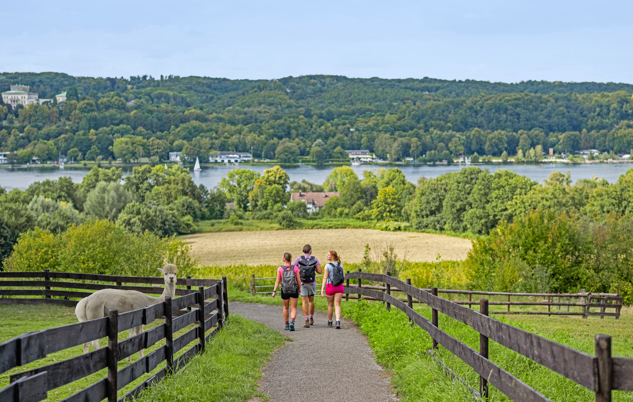
Essen – the most unforgettable hiking weekend of 2026!
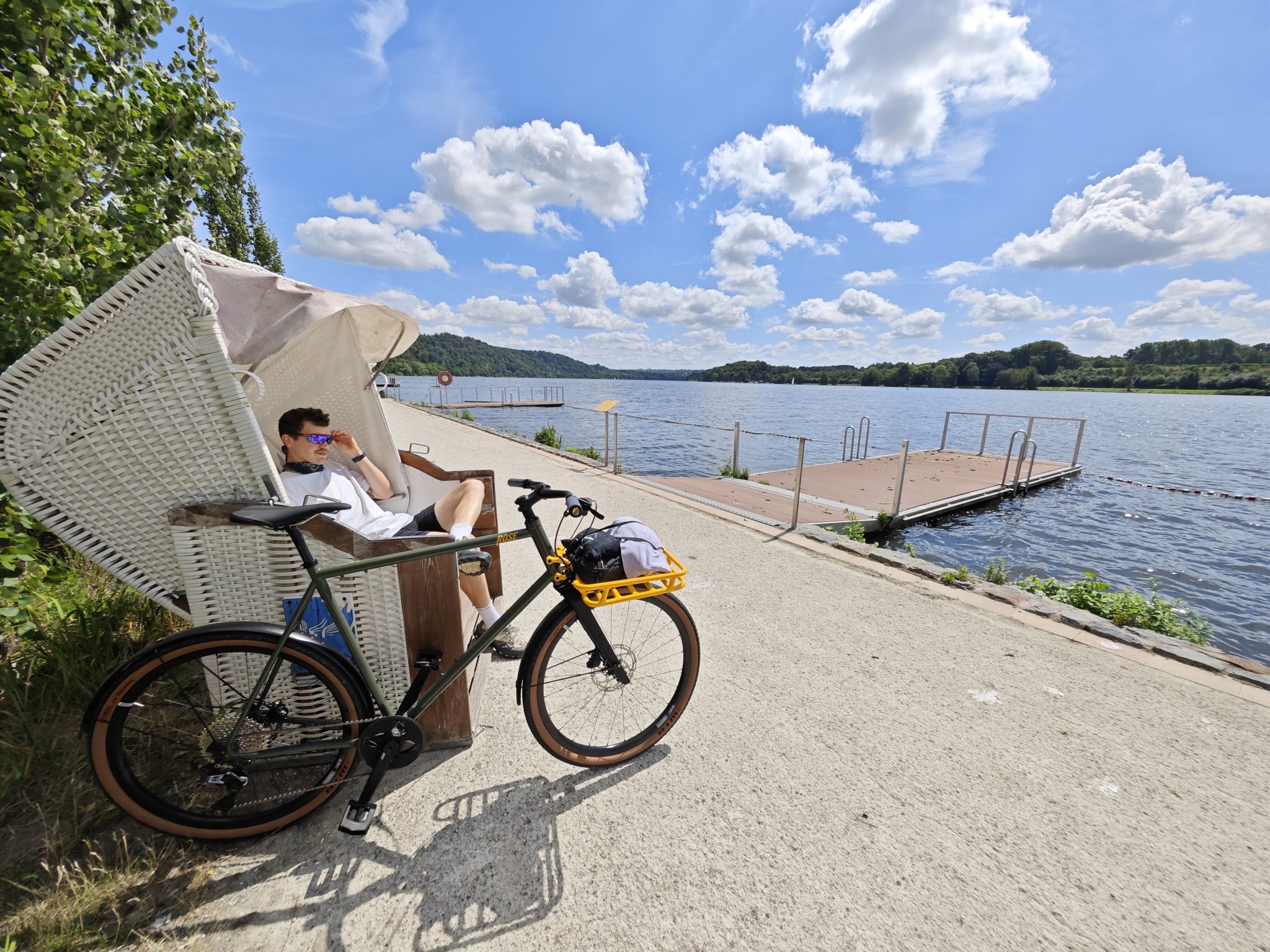
Industrial culture and the green Ruhr valley – cycling in Essen
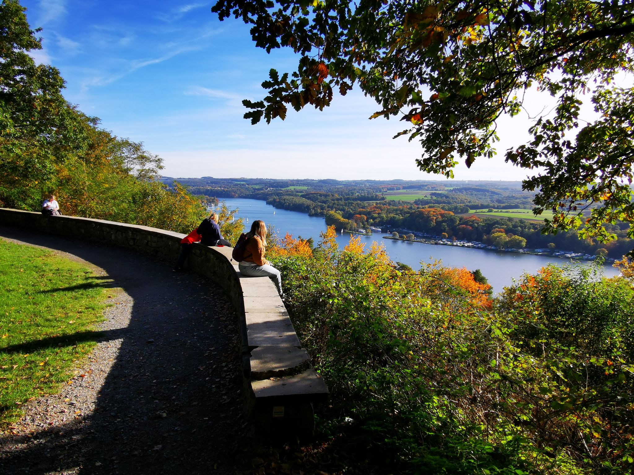
The outdoors on your doorstep – hiking loops in Essen
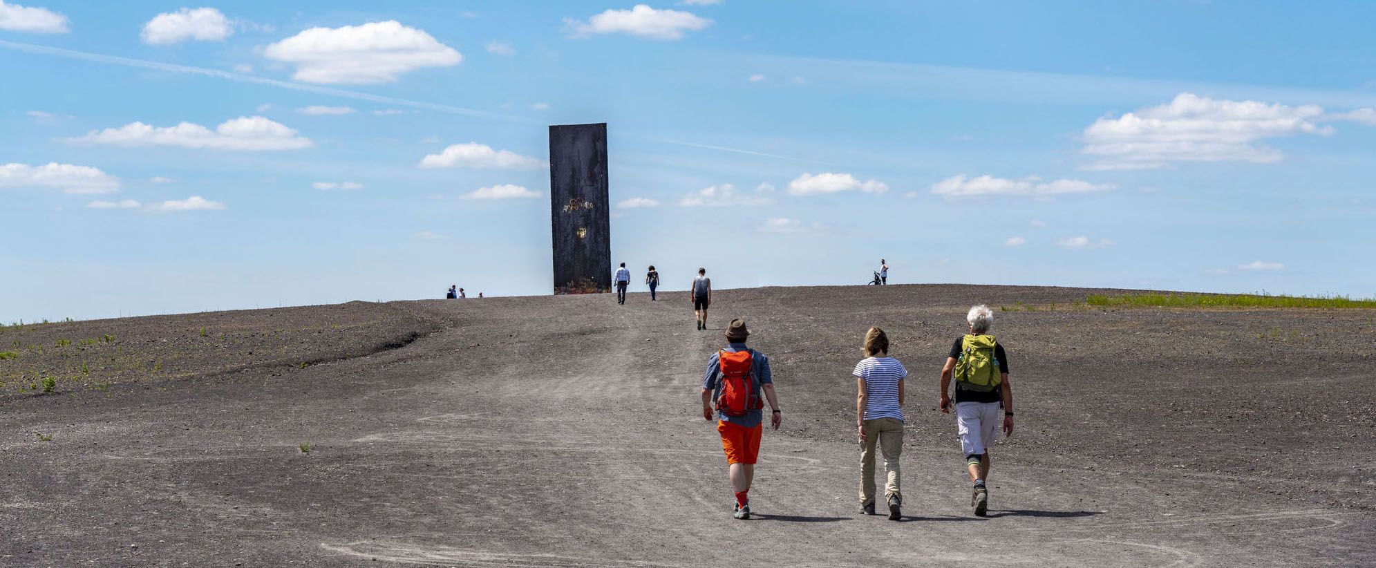
Aiming high – Essen hiking trails
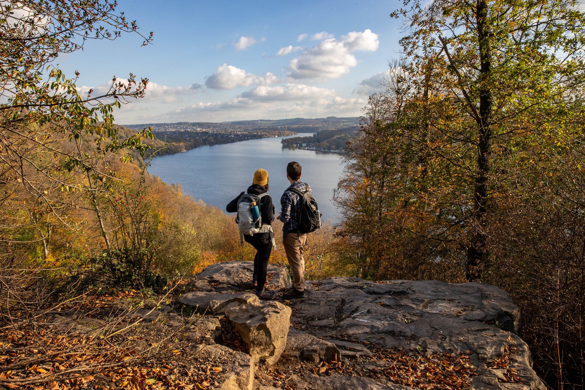
Essen gets hiking – day of the hiking paths 2024
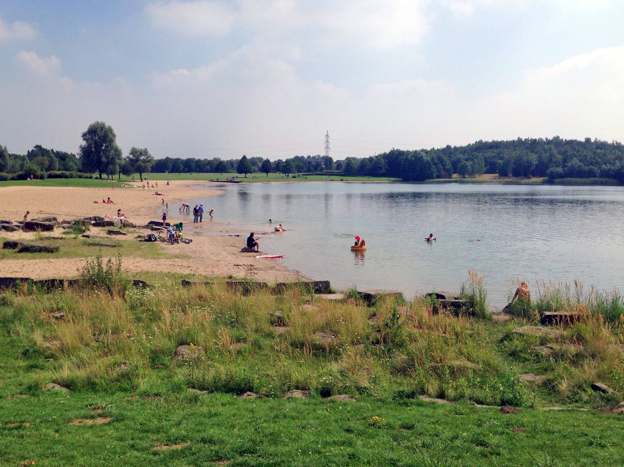
The best swimming lakes in the Ruhr Area
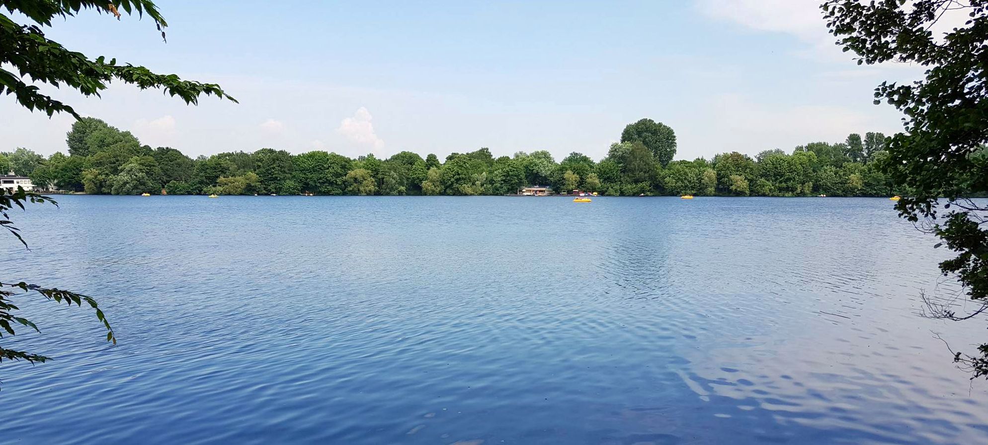
The most beautiful swimming lakes around Düsseldorf
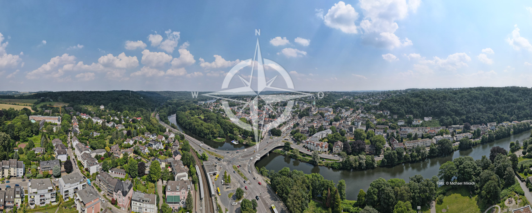
1. Fahrradfreundliche Entdeckungsreisen durch die Region
Running Trails around Baldeneysee
Cycling around Baldeneysee
Other adventures around Baldeneysee


Tips from the Community

"About 40 meters above the Ruhr River, the historic Steele City Garden invites visitors to stroll and relax on its 4.2 hectares – and, of course, to enjoy the view of the Ruhr Valley. On the opposite bank of the river lies the Überruhr-Hinsel district with its 'House Under the Rainbow,' a facility for assisted living on the Gewalterberg hill. Downstream, the Spillenburg weir can be seen. In this 204-hectare drinking water catchment area, 50 million cubic meters of water are extracted annually. The light blue swimming pool below the City Garden belongs to the Steele 11 swimming club, which has been welcoming swimmers and bathers here since 1911." https://www.essen.de/dasistessen/leben_im_gruenen_/aktiv_im_gruenen/essener_aussichten_.de.html
1
0

The Catholic St. Anne's Chapel is a listed church building in Essen-Rellinghausen. Its history dates back to the early 16th century. The previous building was an expiatory chapel built in 1516. [...] Restoration work from 1973 to 1975 provided valuable insights into the chronology and the changes made. In 1985, the chapel was listed as a historical monument. To this day, every July 25th, the name day of St. Anne, a procession takes place to commemorate the desecration of the sacrament by the theft of the host. It leads from the St. Anne's Chapel to the Collegiate Church of St. Lambertus. Source and further information: https://de.wikipedia.org/wiki/St.-Anna-Kapelle_(Rellinghausen)
1
0

Not pretty, but functional. A great starting point for hikes in the beautiful countryside.
0
0

GPS: 51.44343, 7.06787 Steeler Stadtgarten Schnütgenstraße, Steele Around 40 meters above the Ruhr River, the historic Steele Stadtgarten (Steeler City Garden) invites you to stroll and relax on 4.2 hectares of land – and, of course, to enjoy the view of the Ruhr Valley. On the opposite side of the river is the Überruhr-Hinsel district with its Haus unterm Regenbogen (Rainbow House), an assisted living facility on the Gewalterberg hill. Downstream, you can see the Spillenburg Weir. 50 million cubic meters of water are extracted annually from the 204-hectare drinking water area. The light blue swimming pool below the Stadtgarten belongs to the Steele 11 swimming club, which has been inviting people to swim and bathe here since 1911. https://www.essen.de/dasistessen/leben_im_gruenen_/aktiv_im_gruenen/essener_aussichten_.de.html
0
0

Nice view while waiting for the railway barrier 😉
0
0

The tunnel at the beginning of the street "Im Walpurgistal" is dark and damp. You might want to take a deep breath beforehand.
0
0

Dusk is falling as I cross the Ruhr on the Konrad Adenauer Bridge. The river is still carrying a fair amount of water, so it is questionable whether the path through the Holthauser Ruhraue is clear. It is not just the less tempting alternatives that lead me into the floodplain, the path is clear and I can enjoy the proximity to the river once again at blue hour. And then I treat myself to a break.
0
0

The Essener Aussichten No. 14 are located in the Stadtgarten Steele and offer a great view of the Ruhr and the surrounding area.
2
0
Frequently Asked Questions
How many mountaineering routes can I find around Baldeneysee?
There are currently 9 mountaineering routes available around Baldeneysee on komoot, offering a variety of experiences for different skill levels.
Are there easy mountaineering routes suitable for beginners or families?
Yes, Baldeneysee offers several easy routes perfect for beginners or families. An excellent option is the Surish Soni – Siepental Park loop from Bergerhausen, which is 4.6 miles (7.4 km) long and explores the Siepental Park with gentle ascents.
What about more challenging mountaineering trails around Baldeneysee?
For those seeking a moderate challenge, the region has 7 routes. Consider the Ludwig Kessing Park loop from Steele, a 7.1 miles (11.4 km) path with varied terrain through parkland and forested sections, offering views of the surrounding area.
Can I find circular mountaineering routes in the Baldeneysee area?
Many of the mountaineering routes around Baldeneysee are circular, allowing you to start and end at the same point. For example, the View of Felderbachtal – Felderbach Valley Nature Reserve loop from Velbert-Nierenhof is a popular circular trail.
What interesting sights or viewpoints can I discover along the routes?
The routes around Baldeneysee offer scenic views and points of interest. You might encounter highlights such as the View of Villa Hügel Over Lake Baldeney, the Lake Baldeney itself, or the Baldeneysee Weir. Many trails traverse natural parks and offer glimpses of the reservoir.
Are dogs allowed on the mountaineering routes around Baldeneysee?
Generally, dogs are welcome on the mountaineering routes around Baldeneysee, but it's always recommended to keep them on a leash, especially in nature reserve areas and near wildlife, to ensure safety and respect for the environment.
Are there places to stop for refreshments or cafes along the mountaineering routes?
Given the popularity of the Baldeneysee area, you'll find various opportunities for refreshments. Many routes pass near towns or villages where cafes and restaurants are available, particularly closer to the lake shore. It's a good idea to check your specific route for points of interest marked on komoot.
Where can I find parking for the mountaineering trails?
Parking is generally available at the starting points of many routes, especially in areas like Bergerhausen, Steele, or Velbert-Nierenhof. Look for designated parking areas near trailheads or public parking in nearby towns. Always check local signage for any restrictions or fees.
Is it possible to reach the mountaineering routes by public transport?
Yes, many starting points for mountaineering routes around Baldeneysee are accessible by public transport. The region is well-connected, particularly from larger cities like Essen. You can often find bus or tram stops near trailheads, making it convenient to explore without a car.
When is the best time of year for mountaineering around Baldeneysee?
The Baldeneysee area is beautiful year-round. Spring offers lush greenery and blooming flowers, while autumn provides stunning fall foliage. Summer is ideal for longer days, and even winter can be charming with crisp air, though some paths might be muddy or icy. Always check weather conditions before heading out.
What is the typical length of mountaineering routes around Baldeneysee?
The routes vary in length, catering to different preferences. You can find shorter trails like the 4.6-mile (7.4 km) Surish Soni – Siepental Park loop from Bergerhausen, or longer options such as the 7.1-mile (11.4 km) Ludwig Kessing Park loop from Steele. Most routes fall within the 4 to 7-mile range.
Are there any less-known or 'hidden gem' routes worth exploring?
For a route that offers a blend of nature and scenic views, consider the View of Oefter Tal – View of Im Paradies loop from Fuchslochbachtal / Siepener Bachtal. This moderate 5.2-mile (8.4 km) trail takes you through picturesque valleys and offers beautiful vistas, often with fewer crowds.
What do other mountaineers say about the routes around Baldeneysee?
The mountaineering routes around Baldeneysee are highly rated by the komoot community, with an average score of 5.0 stars. Reviewers often praise the diverse landscapes, well-maintained paths, and the peaceful atmosphere of the forested valleys and natural parks.
Most popular routes around Baldeneysee
Most popular attractions around Baldeneysee

Get inspired with the komoot mobile app


Explore more
Browse the best Mountain Hikes & Routes in other regions.
