The best MTB trails around Saint-Cirgues-De-Malbert
4.3
(6)
53
riders
10
rides
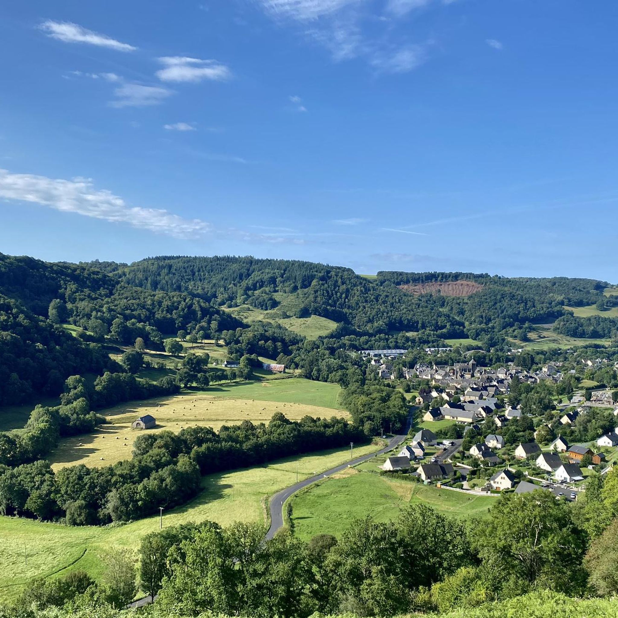
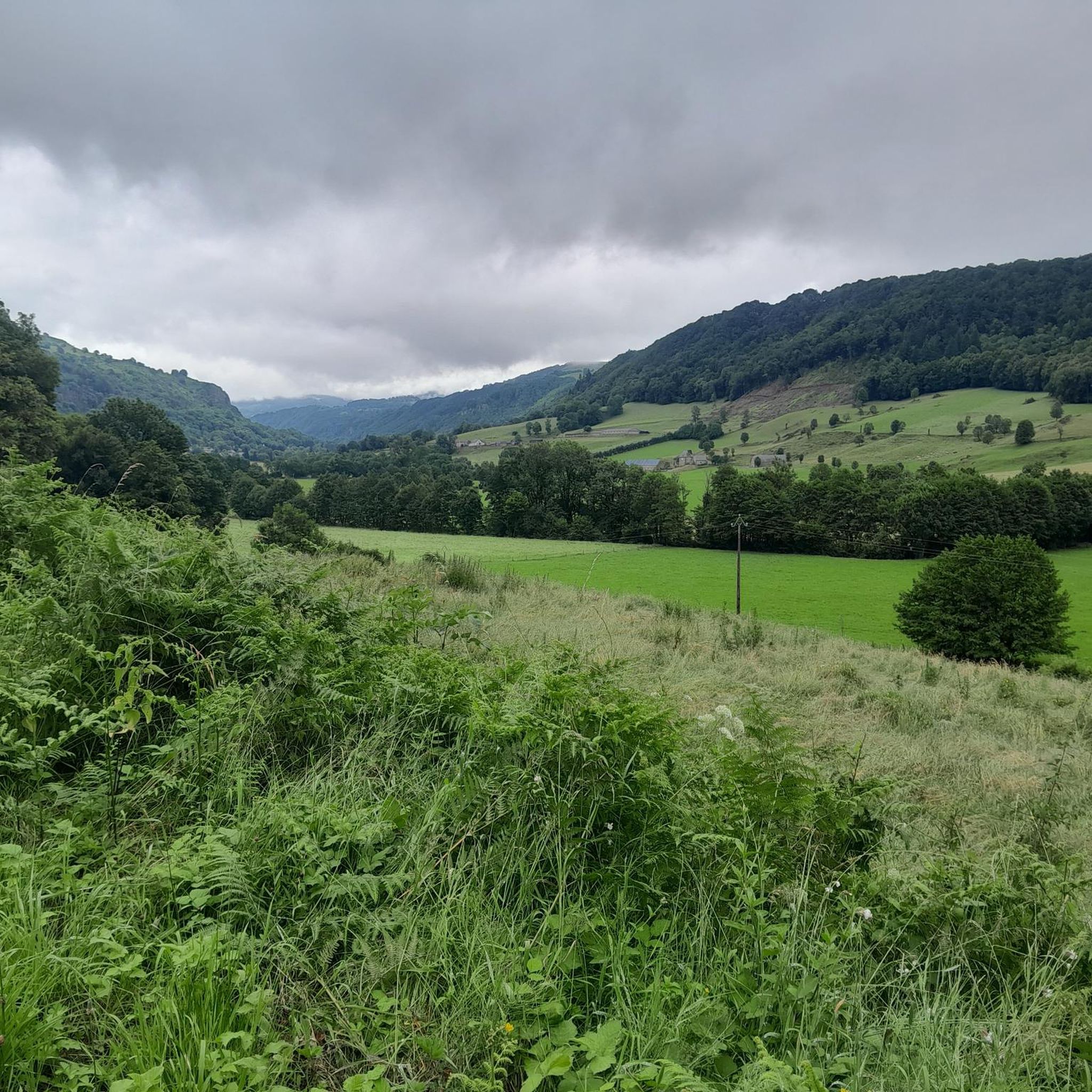
Mountain biking around Saint-Cirgues-De-Malbert offers routes through a landscape characterized by rolling hills, river valleys, and elevated terrain, including areas near the Puy Mary. The region features a mix of open countryside and forested sections, providing varied riding experiences. Trails often traverse rural areas with historical villages and agricultural land.
Best mountain bike trails around Saint-Cirgues-De-Malbert
- The most popular mountain bike trail is Route du Puy Mary – Neronne Pass loop from Salers, a 31.8 miles (51.1 km) trail…
Last updated: June 24, 2026
10
riders
40.6km
03:29
930m
930m
Hard mountain bike ride. Very good fitness required. Suitable for all skill levels.
4.0
(2)
11
riders
23.6km
01:48
560m
560m
Moderate mountain bike ride. Good fitness required. Suitable for all skill levels.

Sign up for free
3.0
(2)
12
riders
53.4km
04:00
1,250m
1,250m
Hard mountain bike ride. Very good fitness required. Suitable for all skill levels.
5.0
(1)
5
riders
51.2km
03:26
900m
900m
Moderate mountain bike ride. Good fitness required. Suitable for all skill levels.
5.0
(1)
7
riders
30.1km
03:29
1,120m
1,120m
Hard mountain bike ride. Very good fitness required. Advanced riding skills necessary. Some portions of the route may require you to push your bike.
Get access to more routes and recommendations from other explorers.
Sign up for free
Already have an account?
Our route recommendations are based on thousands of hikes, rides, and runs completed by other people on komoot.
Start today with a free account
Your next adventure awaits.
Login or Signup


Tips from the Community

Either stressful or relaxed from Puy Mary.
0
0
Great scenery, beautiful road, beautiful views. Perfect for a downhill ride.
0
0

Quickly move through the landscape on the balcony.
1
0

It's steep but you absolutely have to do this pass because the landscape is magnificent.
1
0

Salers is a municipality in the Cantal department in the Auvergne-Rhône-Alpes region. The town is a completely preserved small town from the Renaissance period, with private and public buildings, city walls, defensive towers and a church. It was included in the association of the most beautiful villages in France. Despite its small population of around 300 inhabitants, the town is a historical, cultural and agricultural center in the sparsely populated mountain region of the Monts du Cantal. Source: https://de.wikipedia.org/wiki/Salers
3
0

From Salers, a pass with low percentages but with a magnificent view of the Santoire valley.
0
0

At an altitude of 1,588 meters, the Pas de Peyrol is located between the Puy Mary and the Puy de la Tourte. It is known to be the highest road pass in the Massif Central and is worth it, because the last few kilometers have high percentages. There you can admire Puy Mary which peaks at an altitude of 1,783 metres. It is one of the peaks of the Cantal mountains. It is easily recognizable with its pyramidal silhouette.
1
0
Frequently Asked Questions
How many mountain bike trails are available around Saint-Cirgues-De-Malbert?
There are 11 mountain bike trails recorded on komoot around Saint-Cirgues-De-Malbert, offering a variety of routes through rolling hills and river valleys.
What are the typical distances for mountain bike trails in this region?
The mountain bike trails around Saint-Cirgues-De-Malbert vary in length. For example, the Route du Puy Mary – Neronne Pass loop from Salers is 31.8 miles (51.1 km), while the Salers – Salers loop from Salers is 18.8 miles (30.2 km).
Are there any easy mountain bike trails suitable for beginners or families?
The trails around Saint-Cirgues-De-Malbert are generally geared towards moderate to difficult riders, with 4 moderate and 7 difficult routes. There are currently no easy mountain bike trails listed in this guide, so beginners should exercise caution and consider their fitness levels.
What kind of terrain can I expect on mountain bike trails near Saint-Cirgues-De-Malbert?
You can expect a diverse landscape characterized by rolling hills, river valleys, and elevated terrain, including areas near the Puy Mary. Trails often traverse a mix of open countryside, forested sections, rural areas, and historical villages.
Are there any circular mountain bike routes in the area?
Yes, many of the routes are circular. For instance, the Saint-Cernin loop from Saint-Cernin offers a 20.6 miles (33.1 km) circular ride, and the Faussanges Castle – Saint-Cernin loop from Cautrunes is another excellent circular option.
What are some scenic highlights or attractions I can see along the mountain bike trails?
The region offers several scenic points and attractions. You might encounter the historic village of Salers, ride along the famous Route du Puy Mary, or even see the Salins Waterfall. The Ascent of the Pas de Peyrol / Puy Mary from Salers is also a notable landmark.
What is the best time of year for mountain biking around Saint-Cirgues-De-Malbert?
The best time for mountain biking in this region is typically from spring through autumn, when the weather is milder and trails are generally dry. The elevated terrain and proximity to Puy Mary suggest that winter conditions could be challenging with snow or ice.
What do other mountain bikers say about the trails in Saint-Cirgues-De-Malbert?
The mountain bike trails in Saint-Cirgues-De-Malbert are highly rated by the komoot community, with an average score of 4.6 stars from 7 reviews. Over 50 mountain bikers have used komoot to explore the varied terrain, often praising the challenging routes and scenic landscapes.
Are there any advanced mountain biking routes for experienced riders?
Yes, there are several challenging routes for experienced riders. For example, the Pastourelle – Salers / Puy Mary loop from Fontanges is a difficult 26.1 miles (41.9 km) path that explores the demanding terrain around Puy Mary. In total, 7 of the 11 routes are classified as difficult.
How long do mountain bike trails typically take to complete?
Completion times vary depending on the route's length and difficulty. For instance, the Route du Puy Mary – Neronne Pass loop from Salers typically takes around 3 hours 25 minutes, while the Salers – Salers loop from Salers is often completed in about 3 hours 29 minutes.
Most popular routes around Saint-Cirgues-De-Malbert
Most popular attractions around Saint-Cirgues-De-Malbert

Get inspired with the komoot mobile app


Explore more
Browse the best MTB trails in other regions.
