The best running trails around Saint-Cirgues-De-Malbert
4.1
(9)
1,050
runners
35
runs
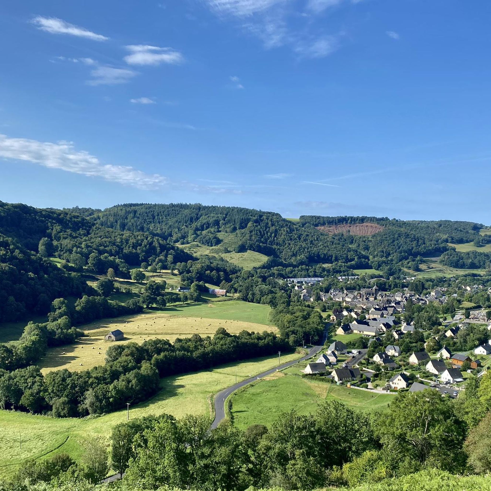
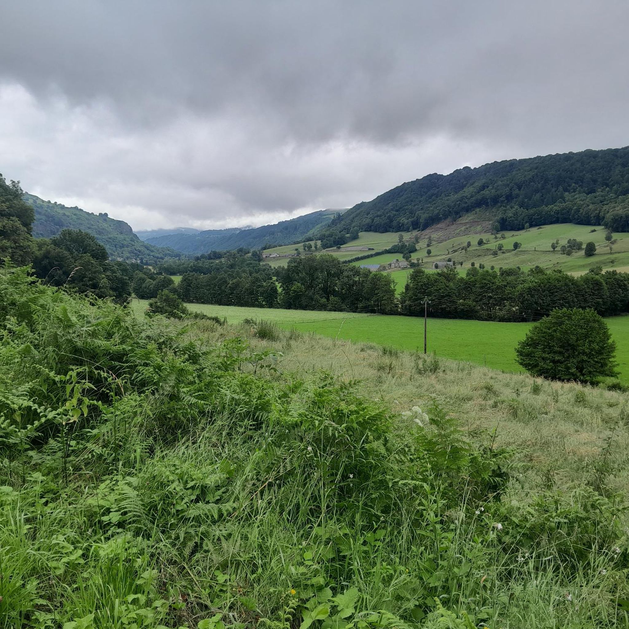
Jogging routes Saint-Cirgues-De-Malbert offer diverse terrain within the Cantal department of Auvergne-Rhône-Alpes. The area features a varied topography, including a fertile plateau and hilly, wooded landscapes, providing a range of running experiences. Natural elements such as valleys, green forests, and the Doire river contribute to the scenic routes. This region, part of the Massif Central, is known for its ancient stratovolcano remnants and rich biodiversity.
Best jogging routes around Saint-Cirgues-De-Malbert
- The most popular jogging route is Running loop from Saint-Martin-Valmeroux…
Last updated: June 29, 2026
4.0
(1)
11
runners
9.01km
01:06
290m
290m
Moderate run. Good fitness required. Mostly paved surfaces. Suitable for all skill levels.
10
runners
10.0km
01:13
240m
240m
Moderate run. Good fitness required. Mostly paved surfaces. Suitable for all skill levels.

Sign up for free
5
runners
6.09km
00:39
100m
100m
Moderate run. Good fitness required. Mostly paved surfaces. Suitable for all skill levels.
6
runners
14.0km
01:47
470m
470m
Hard run. Very good fitness required. Mostly paved surfaces. Suitable for all skill levels.
4
runners
8.25km
00:57
160m
160m
Moderate run. Good fitness required. Mostly paved surfaces. Suitable for all skill levels.
Get access to more routes and recommendations from other explorers.
Sign up for free
Already have an account?
Our route recommendations are based on thousands of hikes, rides, and runs completed by other people on komoot.
Start today with a free account
Your next adventure awaits.
Login or Signup

Frequently Asked Questions
How many running routes are available in Saint-Cirgues-De-Malbert?
There are over 35 running routes around Saint-Cirgues-De-Malbert, offering a diverse range of experiences for all levels. These include 3 easy routes, 22 moderate routes, and 11 more challenging trails.
What kind of terrain can I expect on the jogging trails around Saint-Cirgues-De-Malbert?
The region offers a varied topography, perfect for jogging. You'll find routes traversing fertile plateaus, hilly and wooded terrains, lush green forests, and scenic paths along the Doire river. As part of the Massif Central, some trails also feature remnants of ancient stratovolcanoes, providing diverse and engaging landscapes.
Are there any running routes with waterfalls or natural landmarks nearby?
Yes, the area boasts several beautiful natural features. You can find routes that lead to the attractive Salins Waterfall, which offers a shaded and often easier path along the river after an initial climb. Other notable sites in the broader region include Cascade de Liadouze, Puy Griou, and Plomb du Cantal, which can be focal points for longer runs or explorations.
Can I find family-friendly jogging routes in Saint-Cirgues-De-Malbert?
While specific family-friendly routes aren't detailed, the region's diverse terrain includes easier options. With 3 routes classified as 'easy' and 22 as 'moderate', you can likely find paths suitable for a family outing. Look for routes with less elevation gain and shorter distances for a more relaxed experience.
Are there any circular running routes available?
Yes, many of the running paths in the area are circular. For example, the Running loop from Saint-Martin-Cantalès is a moderate 3.8-mile (6.1 km) path that allows you to explore the region's natural beauty without retracing your steps. Another option is the Running loop from Saint-Illide, covering 8.25 km.
What interesting places or historical sites can I see while running in the region?
Beyond natural beauty, the area offers charming attractions. The village of Salers, recognized as one of France's most beautiful, provides a journey back in time with its historic architecture. While not directly on a jogging route, the Saint-Cirgues-de-Malbert Castle is a medieval heritage site set in a peaceful environment, offering a cultural backdrop to an active outing. You might also encounter the Suspension bridge on some routes.
What do other runners enjoy most about jogging in Saint-Cirgues-De-Malbert?
The running routes in Saint-Cirgues-De-Malbert are highly rated by the komoot community, with an average score of 4.0 stars from over 8 reviews. Runners often praise the varied terrain, from wooded hills to river valleys, and the options available for different ability levels. The scenic beauty and tranquility of the Cantal department are frequently highlighted.
Are there any challenging running routes for experienced runners?
Absolutely. For those seeking a challenge, there are 11 routes classified as 'difficult'. An example is the Saint-Cernin loop from Saint-Cernin, an 8.7-mile (14.0 km) trail with significant elevation gain, often completed in about 1 hour 47 minutes. Another demanding option is the Col de Fontbulin – Château du Cambon loop from Saint-Cernin, which covers nearly 12 km with over 400 meters of ascent.
What is the best season for jogging in Saint-Cirgues-De-Malbert?
The diverse and unspoiled natural landscapes of Saint-Cirgues-De-Malbert make it suitable for jogging across multiple seasons. Spring and autumn offer pleasant temperatures and vibrant scenery, while summer provides lush green forests and shaded paths, especially around features like the Salins Waterfall. Winter jogging is possible, but conditions may vary, so checking local weather is always recommended.
Are there any running routes that offer panoramic views?
Yes, the region is known for its breathtaking scenery. While specific routes aren't detailed, the nearby Puy Mary, classified as a Grand Site de France, offers exceptional 360° panoramas of glacial valleys and surrounding ridges. Many trails in the higher, hilly terrains will provide stunning vistas of the Cantal department.
Are dogs allowed on the running trails in Saint-Cirgues-De-Malbert?
Generally, dogs are welcome on many outdoor trails in the Auvergne-Rhône-Alpes region, especially in rural and natural areas like Saint-Cirgues-De-Malbert. However, it's always best to keep your dog on a leash, especially near livestock or in protected natural zones, and to check for any specific local regulations or signage on individual routes.
Is there parking available near the trailheads?
While specific parking locations for each trailhead are not detailed, in rural areas like Saint-Cirgues-De-Malbert, you can often find free parking in or near villages where routes typically start. It's advisable to check the starting points of individual routes on komoot for more precise parking information.
Most popular routes around Saint-Cirgues-De-Malbert
Most popular attractions around Saint-Cirgues-De-Malbert

Get inspired with the komoot mobile app


Explore more
Browse the best Running Trails & Routes in other regions.
