The best walks and hikes around Saint-Cirgues-De-Malbert
4.3
(85)
510
hikers
32
hikes
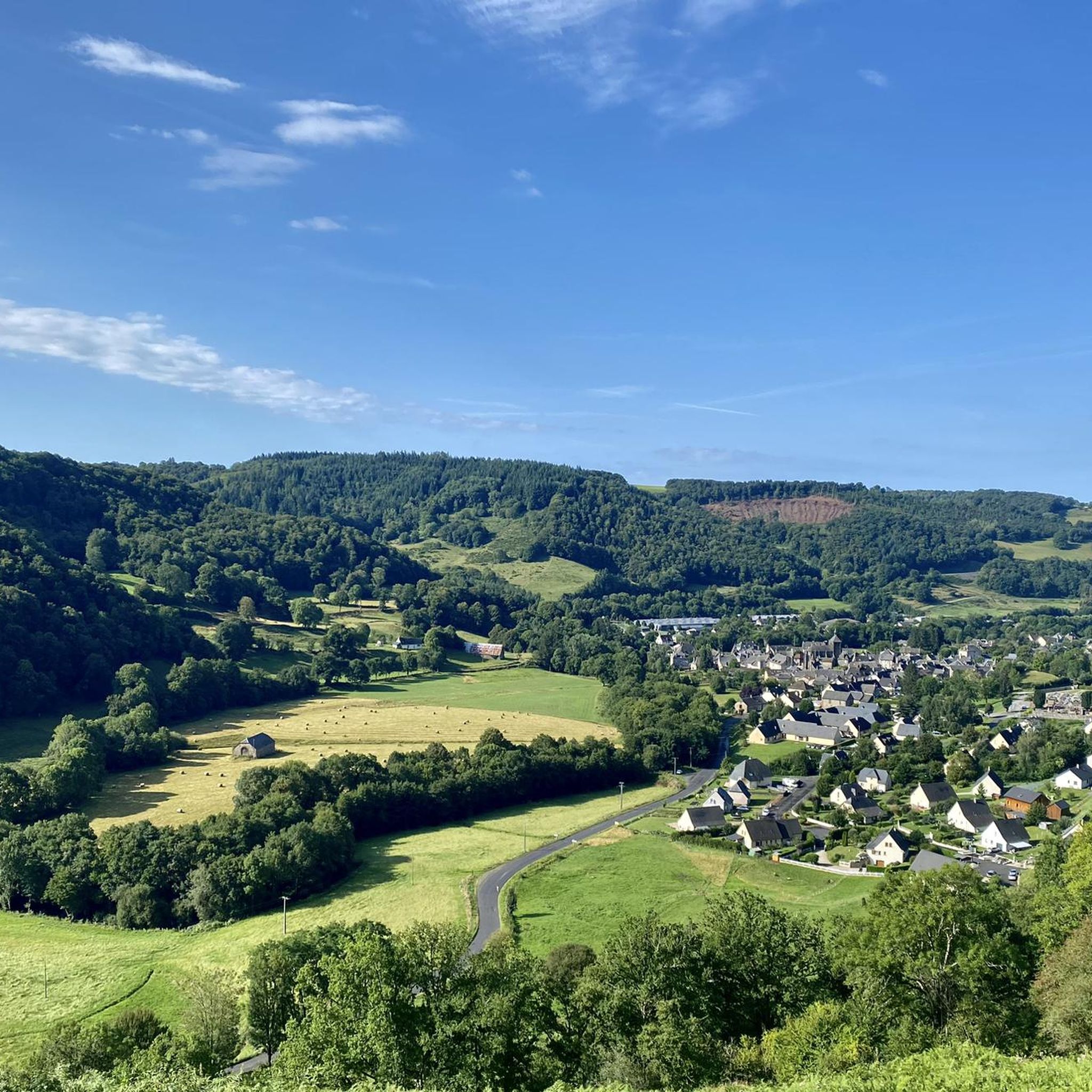
Hiking trails around Saint-Cirgues-De-Malbert traverse a varied landscape characterized by a fertile plateau and hilly wooded areas within the Cantal department of south-central France. The region is part of the Auvergne Volcanoes Regional Nature Park, featuring volcanic terrain and elevations ranging from 502m to 833m. The village itself overlooks the Doire River, contributing to the local scenery.
Best hiking trails around Saint-Cirgues-De-Malbert
- The most popular hiking route is Bistro St. Martin-Valmeraux – Gate gate loop from Saint-Martin-Valmeroux, a 5.6…
Last updated: June 29, 2026
4.3
(9)
33
hikers
9.02km
02:44
290m
290m
Moderate hike. Good fitness required. Easily-accessible paths. Suitable for all skill levels.
3.5
(2)
8
hikers
5.92km
01:55
250m
250m
Easy hike. Great for any fitness level. Easily-accessible paths. Suitable for all skill levels.

Sign up for free
3.0
(1)
19
hikers
17.4km
05:20
590m
590m
Hard hike. Very good fitness required. Easily-accessible paths. Suitable for all skill levels.
4.0
(1)
10
hikers
7.51km
02:16
230m
230m
Moderate hike. Good fitness required. Easily-accessible paths. Suitable for all skill levels.
5
hikers
14.4km
04:20
450m
450m
Moderate hike. Good fitness required. Easily-accessible paths. Suitable for all skill levels.
Get access to more routes and recommendations from other explorers.
Sign up for free
Already have an account?
Our route recommendations are based on thousands of hikes, rides, and runs completed by other people on komoot.
Start today with a free account
Your next adventure awaits.
Login or Signup

Tips from the Community

Look back at the hiking trail on the slope.
0
0
An adventurous bridge covered in moss. Some planks are wobbly.
0
0
A wildlife barrier with adventurous closures is often found here.
0
0

Super nice and somewhat hidden place to completely relax
0
0

Old chapel whose history is lost in time.
0
0
Frequently Asked Questions
How many hiking trails are available around Saint-Cirgues-De-Malbert?
There are over 30 hiking routes in the Saint-Cirgues-De-Malbert area, catering to various skill levels. You'll find a good mix of easy, moderate, and challenging trails to explore the diverse landscapes.
What kind of terrain can I expect on hikes in Saint-Cirgues-De-Malbert?
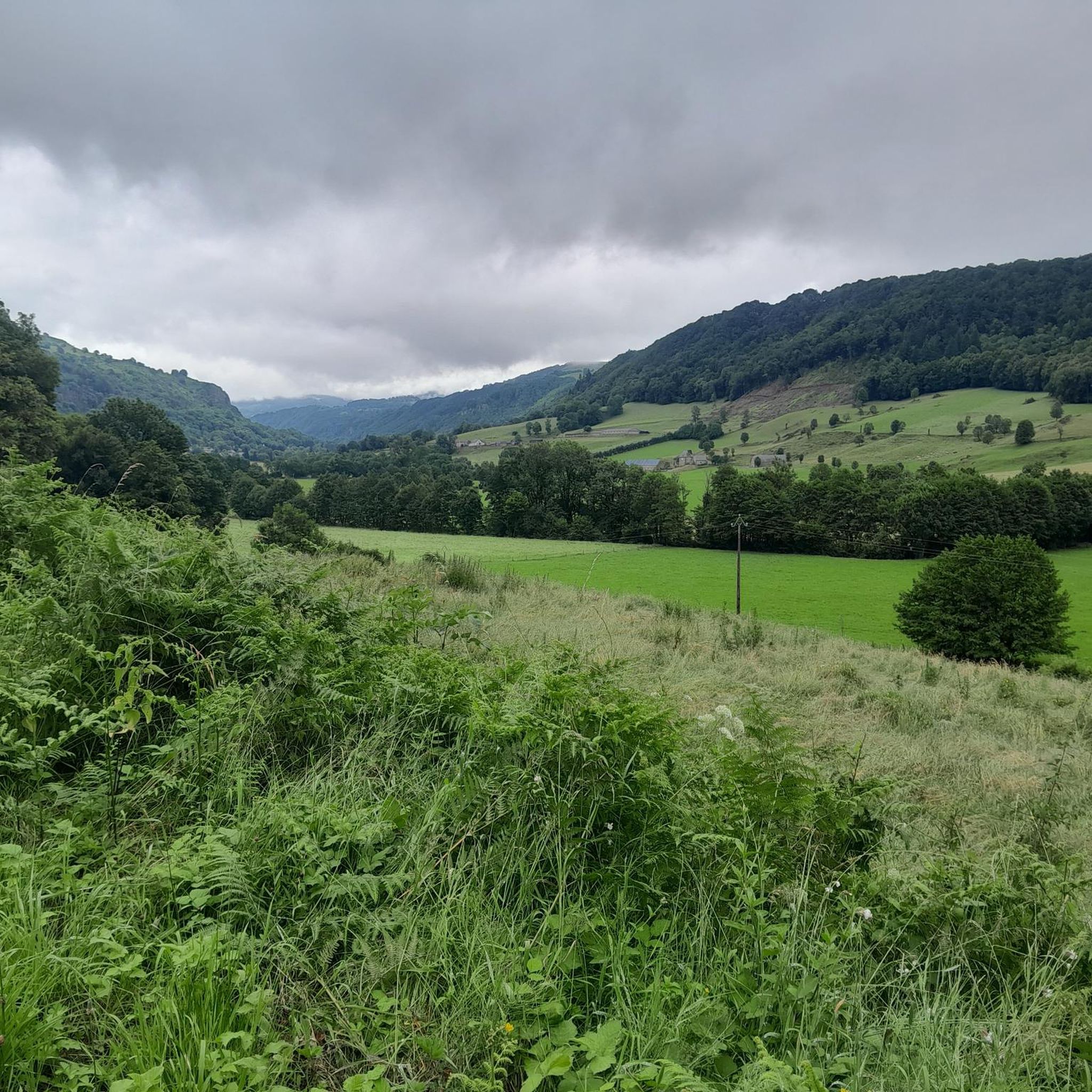
The terrain around Saint-Cirgues-De-Malbert is quite varied, characterized by a fertile plateau, hilly wooded areas, and river valleys. As part of the Auvergne Volcanoes Regional Nature Park, you'll encounter volcanic landscapes, with elevations ranging from 502m to 833m, offering diverse and scenic paths.
Are there any easy, family-friendly hiking options?
Yes, there are several easy routes suitable for families. For example, the Chapelle Notre-Dame du Château loop from Saint-Martin-Cantalès is an easy 5.9 km path offering a gentle walk with views towards the historic chapel. The region also offers bucolic, mostly shaded paths like 'Le long de l'Etze et de la Bertrande' mentioned in local guides.
Can I find circular hiking routes in the area?
Many of the trails around Saint-Cirgues-De-Malbert are designed as loops, allowing you to start and end at the same point. A popular moderate option is the Bistro St. Martin-Valmeraux – Gate gate loop from Saint-Martin-Valmeroux, which is 9.0 km long and takes about 2 hours 44 minutes.
What are some notable landmarks or viewpoints I can see on a hike?
The region offers several interesting sights. You can hike to viewpoints overlooking the Doire River, or explore routes that pass by historic structures. The Old castle of Crèvecœur – View over the valley loop from Saint-Martin-Valmeroux is a more challenging route that provides scenic valley views. Further afield, you can visit the medieval town of Salers or explore the dramatic Route du Puy Mary.
Are there any waterfalls accessible by hiking?
Yes, the region is home to picturesque waterfalls. The Salins Waterfall is a notable option, often part of a hike that starts with a fairly steep slope before becoming an easier, shaded walk along the river. Other waterfalls like Cascade de Liadouze and Cascades de Gimel are also within reasonable driving distance for a day trip combined with a walk.
What do other hikers say about the trails in Saint-Cirgues-De-Malbert?
The hiking trails in Saint-Cirgues-De-Malbert are highly rated by the komoot community, with an average score of 4.1 stars from over 70 reviews. Hikers often praise the varied terrain, the beautiful views, and the opportunities to explore both gentle paths and more challenging routes.
Is it possible to hike with dogs in Saint-Cirgues-De-Malbert?
Generally, the Auvergne-Rhône-Alpes region is welcoming to dogs on trails, especially if kept on a leash. However, specific rules can apply within protected areas like the Auvergne Volcanoes Regional Nature Park. It's always best to check local signage or with the park authority for any restrictions on particular routes or during certain seasons, especially concerning livestock or wildlife protection.
What is the best time of year to go hiking in this region?
The best time for hiking in Saint-Cirgues-De-Malbert is typically from spring to autumn (May to October). During these months, the weather is generally pleasant, and the trails are clear. Summer offers warm temperatures, while spring and autumn provide beautiful foliage and cooler conditions. Winter hiking is possible but may require appropriate gear due to snow and colder temperatures, especially at higher elevations.
Are there options for more challenging or difficult hikes?
Yes, for experienced hikers seeking a challenge, there are difficult routes available. The Old castle of Crèvecœur – View over the valley loop from Saint-Martin-Valmeroux is a difficult 17.4 km trail that leads through hilly wooded areas and can take over 5 hours to complete, offering significant elevation changes.
Where can I find parking for trailheads?
Parking is generally available near trailheads in and around Saint-Cirgues-De-Malbert, especially in villages like Saint-Martin-Valmeroux or Saint-Martin-Cantalès, which serve as starting points for many routes. Specific parking information is often detailed on individual route descriptions or local tourism maps.
Are there any places to eat or stay near the hiking trails?
Saint-Cirgues-De-Malbert and its surrounding villages offer local amenities including cafes, small restaurants, and accommodation options such as guesthouses or holiday rentals. For more comprehensive services, larger towns in the Cantal department are also accessible. You can find more information about the village at salers-tourisme.fr.
Most popular routes around Saint-Cirgues-De-Malbert
Most popular attractions around Saint-Cirgues-De-Malbert

Get inspired with the komoot mobile app


Explore more
Browse the best Hikes in other regions.
