The best mountain hikes around Saint-Laurent-Du-Cros
5.0
(3)
29
hikers
4
hikes
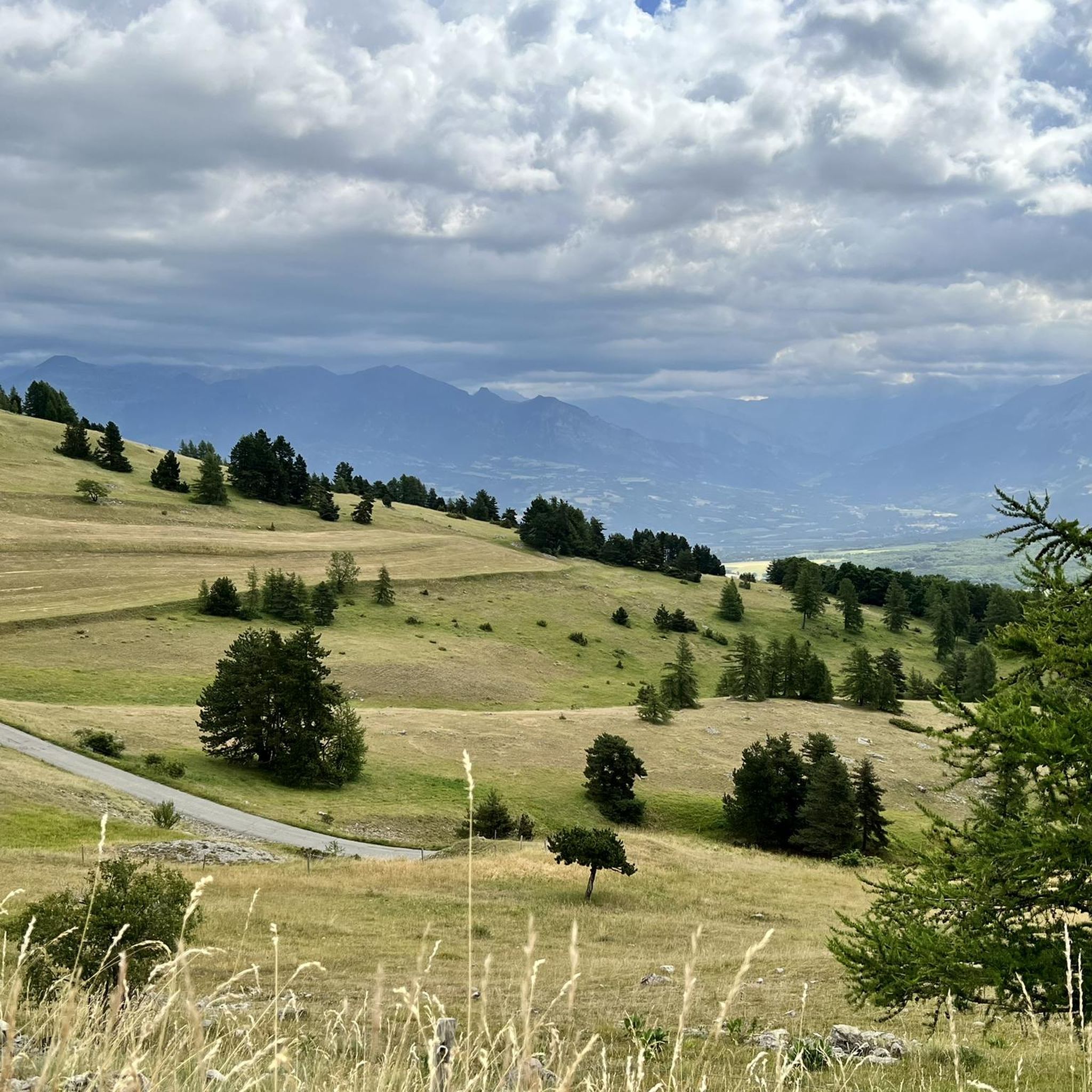
Mountaineering routes around Saint-Laurent-Du-Cros are situated in the Hautes-Alpes, offering access to diverse alpine landscapes. The region is characterized by high-altitude peaks, including those within the Ecrins National Park, known for its glaciers and challenging terrain. Granite and limestone formations provide varied climbing opportunities, while the surrounding valleys, such as Champsaur, feature a mix of hedgerows and higher mountain environments. This area serves as a base for exploring significant mountainous areas with elevations exceeding 3,000 meters.
Best mountaineering routes around…
Last updated: July 7, 2026
5.0
(2)
16
hikers
17.4km
08:47
1,510m
1,510m
Hard mountaineering route. Very good fitness required. Sure-footedness, sturdy shoes and alpine experience required.
5.0
(1)
8
hikers
9.08km
03:54
800m
800m
Moderate mountaineering route. Good fitness required. Easily-accessible paths. Suitable for all skill levels.

Sign up for free
2
hikers
9.20km
03:24
570m
570m
Hard mountaineering route. Good fitness required. Sure-footedness, sturdy shoes and alpine experience required.
2
hikers
12.8km
04:58
860m
860m
Moderate mountaineering route. Good fitness required. Easily-accessible paths. Suitable for all skill levels.
1
hikers
11.0km
04:20
780m
780m
Moderate mountaineering route. Good fitness required. Easily-accessible paths. Suitable for all skill levels.
Our route recommendations are based on thousands of hikes, rides, and runs completed by other people on komoot.
Start today with a free account
Your next adventure awaits.
Login or Signup

Tips from the Community

Very quiet but (http://rosetoy.cam/) extremely effective.
0
0

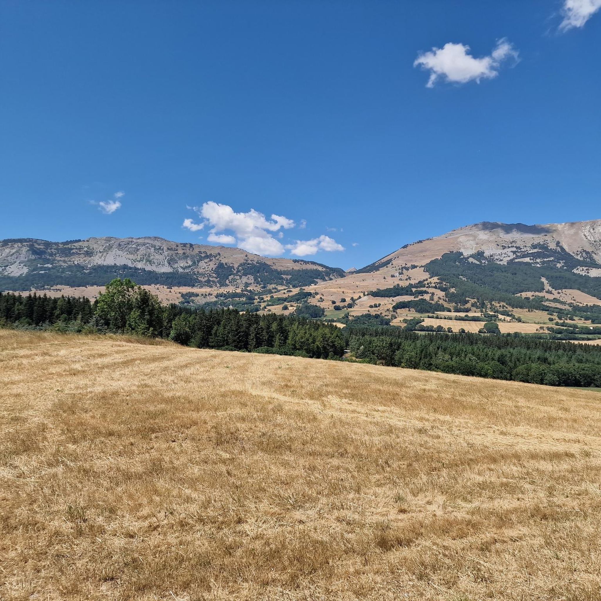
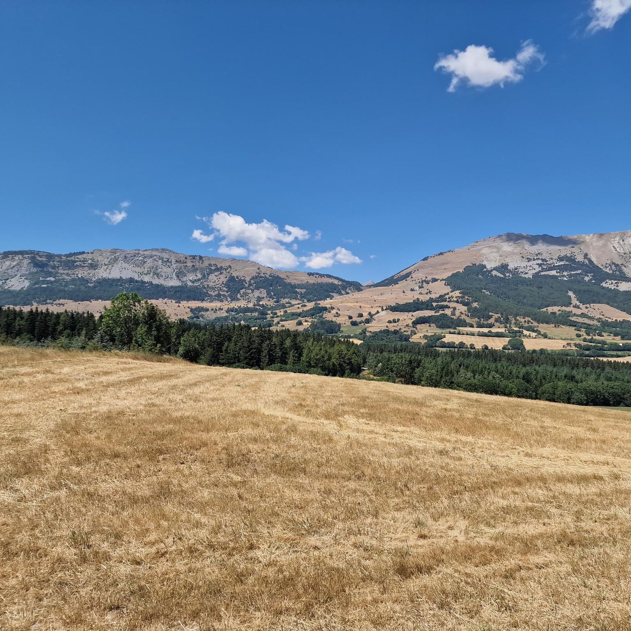
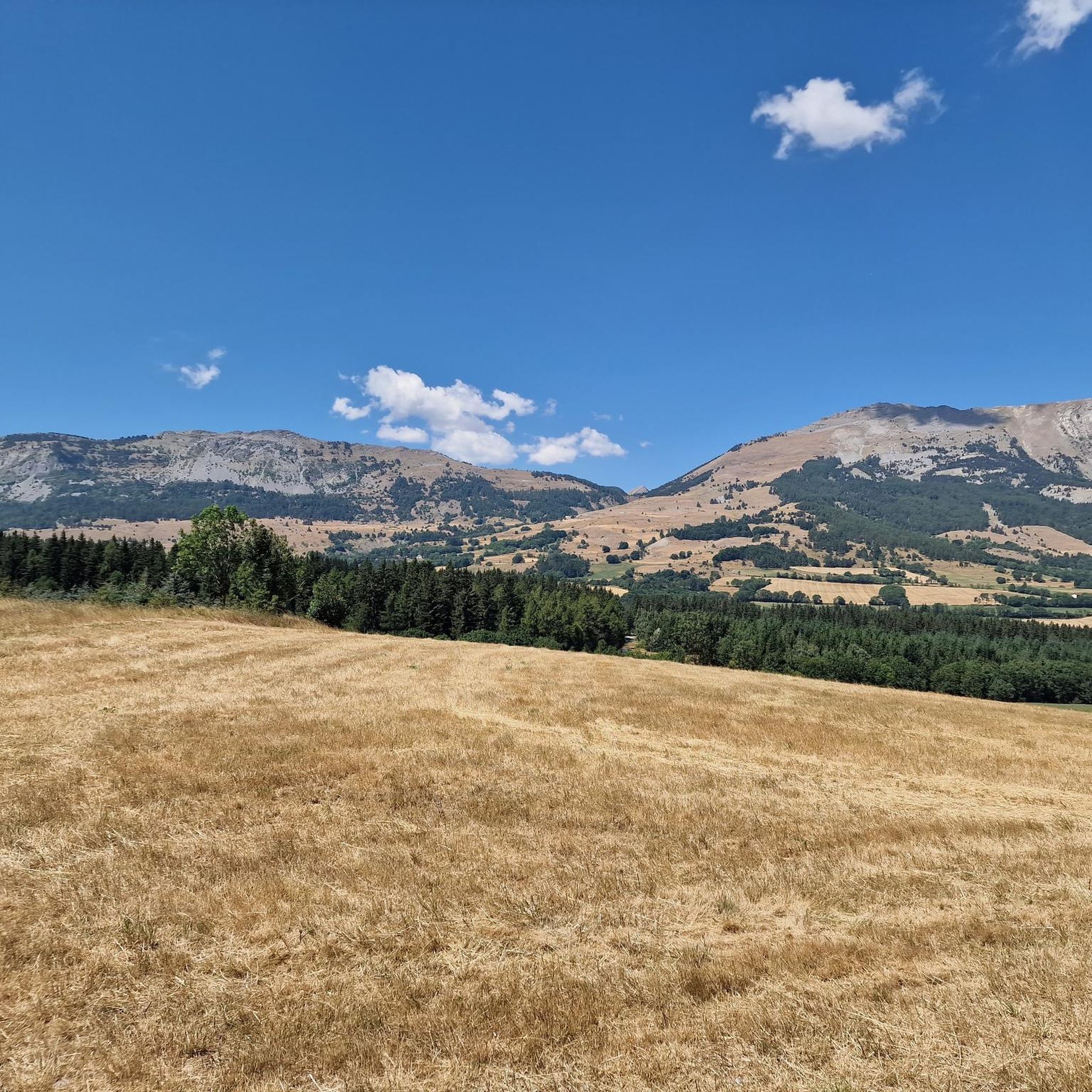
It is one of the highest bocages in Europe. These landscapes are typical in France, but this one is one of the best preserved. It has a superb network of beech hedges, crops, meadows and woods which attracts beautiful biodiversity and many birds.
0
0
The Col de Gleize car park is located next to a designated picnic area. It is the starting point for many hiking trails that intersect here.
0
0

Culminating at 2,354 meters, the Col de la Pisse offers beautiful panoramas of the Écrins massif.
0
0

This path borders the Gap canal. The Gap canal collects water from the Drac in Haut-Champsaur and brings it to the Gapençais basin, where it is mainly used to supply the town of Gap with drinking water. The walk along the water reveals beautiful views of the surrounding landscapes.
0
0

For a great picnic with a 360° view of breathtaking landscapes: meet at Pic Chaudun 🌟
0
0

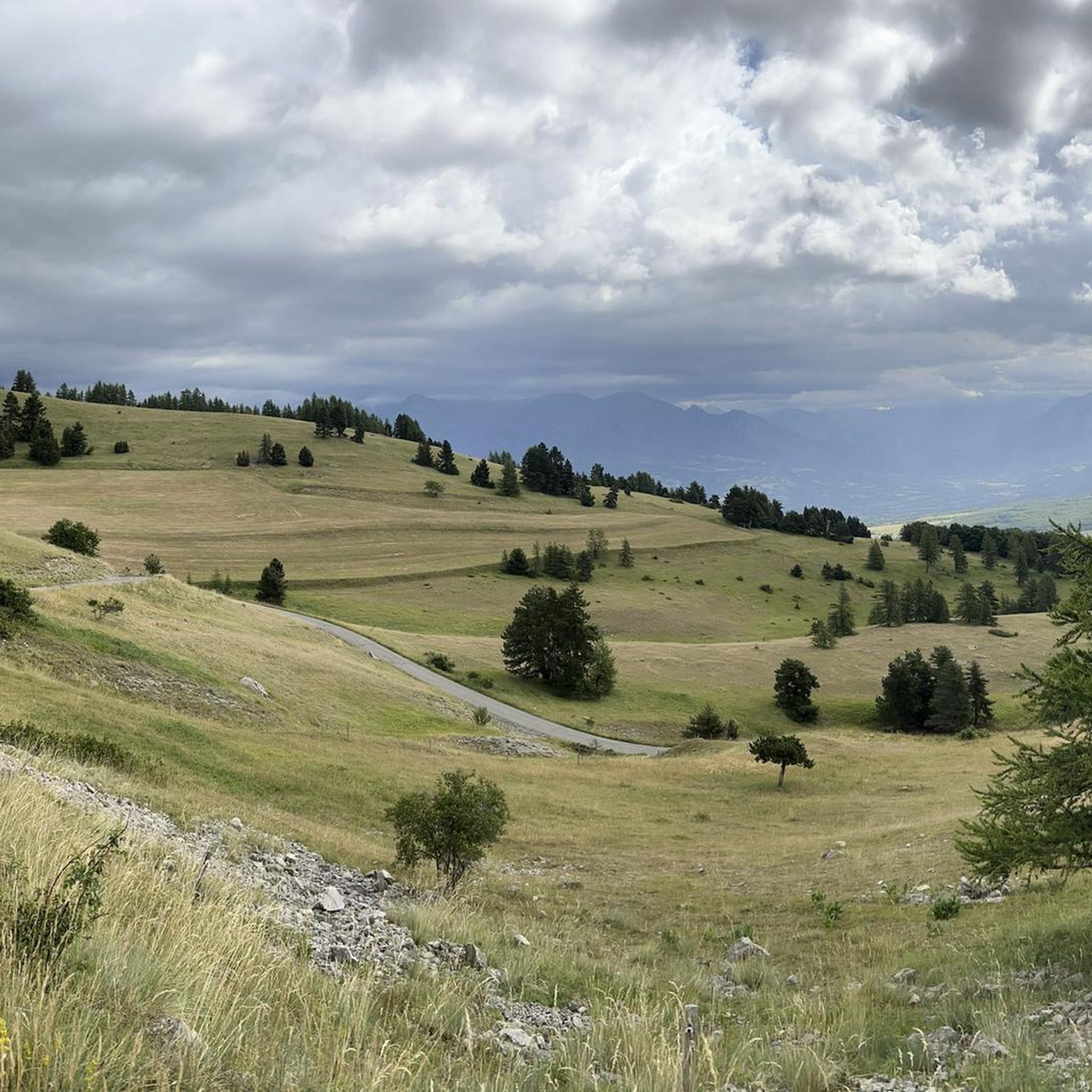
It is accessible by car via a pretty narrow road and has parking as it is the starting point for many trails.
1
0

A pretty garden in the Charance estate with roses, a waterfall and beautiful paths.
0
0
Frequently Asked Questions
What is the general difficulty level of mountaineering routes around Saint-Laurent-Du-Cros?
The mountaineering routes in this area offer a range of challenges. You'll find both moderate and difficult options, catering to different skill levels. For instance, routes like Pic de Charance – La Brèche de Charance loop from Gap are considered moderate, while the Vieux Chaillol loop from Saint-Michel-de-Chaillol presents a more difficult challenge.
Are there any circular mountaineering routes available near Saint-Laurent-Du-Cros?
Yes, several routes are designed as loops, allowing you to start and end at the same point. Examples include the Vieux Chaillol loop from Saint-Michel-de-Chaillol, the Pic de Charance – La Brèche de Charance loop from Gap, and the Summit without a cross loop from Col de Gleize.
What are some good options for experienced mountaineers seeking a challenge?
Experienced mountaineers will find several demanding routes. The Vieux Chaillol loop from Saint-Michel-de-Chaillol is a difficult 10.8-mile trail with significant elevation gain. Another challenging option is the Summit without a cross loop from Col de Gleize, which leads through high mountain terrain.
What is the best time of year for mountaineering in the Saint-Laurent-Du-Cros area?
The best time for mountaineering typically depends on the specific route and conditions. Generally, the summer months (late June to early September) offer the most favorable weather for high-altitude ascents, especially in areas like the Ecrins National Park where glaciers are present. Always check local weather forecasts and conditions before heading out.
Are there any specific regulations or permits required for mountaineering in the Ecrins National Park, which is near Saint-Laurent-Du-Cros?
The Ecrins National Park, while a major draw for mountaineers, does have specific regulations to protect its natural environment. While general hiking doesn't always require permits, certain activities, especially those involving technical climbing, glacier travel, or overnight stays in specific areas, might have restrictions or require prior authorization. It's always advisable to consult the official Ecrins National Park website or local guides for the most up-to-date information on permits and regulations.
What kind of landscapes can I expect to see on mountaineering routes around Saint-Laurent-Du-Cros?
The region offers incredibly diverse and dramatic alpine landscapes. You'll encounter high-altitude peaks, including those within the Ecrins National Park, known for its glaciers and challenging terrain. The area also features varied rock formations, from granite to limestone, and surrounding valleys like Champsaur, which present a mix of hedgerows and higher mountain environments.
What do other mountaineers say about the routes in Saint-Laurent-Du-Cros?
The mountaineering routes around Saint-Laurent-Du-Cros are highly regarded by the komoot community, holding an average rating of 5.0 stars from over 10 reviews. Many visitors praise the varied terrain and the opportunities for challenging ascents in a stunning alpine setting.
Are there any nearby attractions or points of interest I can visit after a mountaineering trip?
Absolutely! The region is rich in natural beauty and interesting sites. You could explore various mountain passes like Col du Noyer (1664 m) or Col de Gleize (1691 m). The town of Gap is also nearby, offering a different kind of exploration. For scenic views, consider visiting the Chemin de rondes and its cliffs.
Can I find guided mountaineering expeditions in the Saint-Laurent-Du-Cros area?
Yes, the region is well-equipped with qualified and experienced high mountain guides. These guides can make high-mountain experiences accessible even for those without extensive prior experience, offering both safety and instruction for various alpine and glacier runs, as well as ridge traverses.
What are the typical durations for mountaineering routes in this area?
The duration of routes varies significantly based on difficulty and distance. For example, a moderate route like Écluse d'Oeuf – Le Cuchon loop from La Freissinouse might take around 4 hours 20 minutes, while a more difficult and longer route such as the Vieux Chaillol loop from Saint-Michel-de-Chaillol can take approximately 8 hours 46 minutes to complete.
Are there any options for moderate mountaineering routes around Saint-Laurent-Du-Cros?
Yes, there are several moderate routes suitable for those looking for a less strenuous but still rewarding experience. The Pic de Charance – La Brèche de Charance loop from Gap is a popular moderate path offering great views. Another good option is the Écluse d'Oeuf – Pic de Charance loop from Gap.
Is it possible to reach the starting points of mountaineering routes by public transport?
While Saint-Laurent-Du-Cros itself is a smaller village, the broader Champsaur Valley and surrounding areas may offer some public transport options, particularly to larger towns like Gap. However, for many specific trailheads in high mountain areas, public transport can be limited. It's often recommended to check local bus schedules or consider carpooling for direct access to starting points.
Most popular routes around Saint-Laurent-Du-Cros
Most popular attractions around Saint-Laurent-Du-Cros

Get inspired with the komoot mobile app


Explore more
Browse the best Mountain Hikes & Routes in other regions.
