Saint-Laurent-Du-Cros
Saint-Laurent-Du-Cros
The best walks and hikes around Saint-Laurent-Du-Cros
4.5
(1081)
10,072
hikers
321
hikes
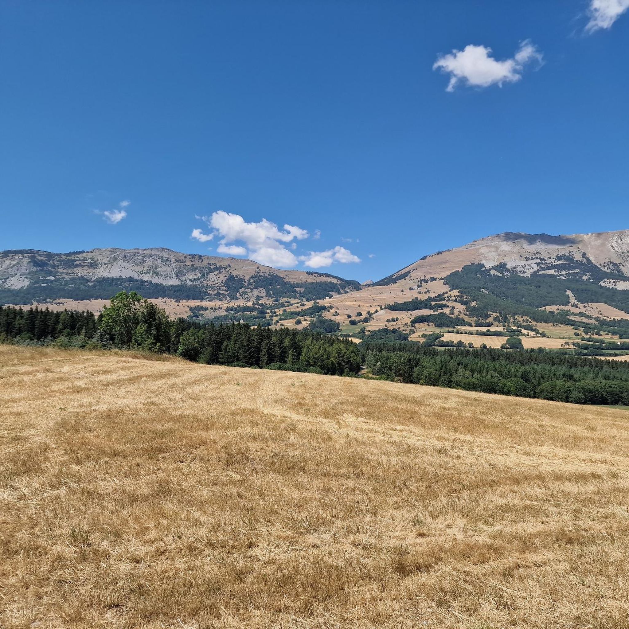
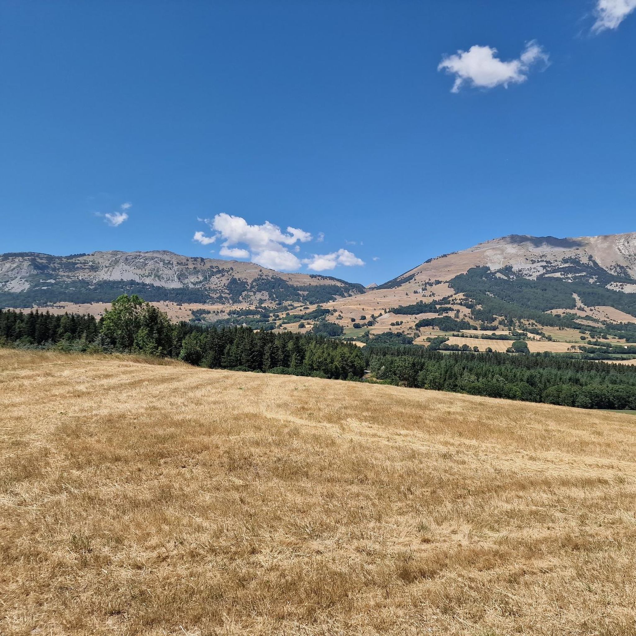
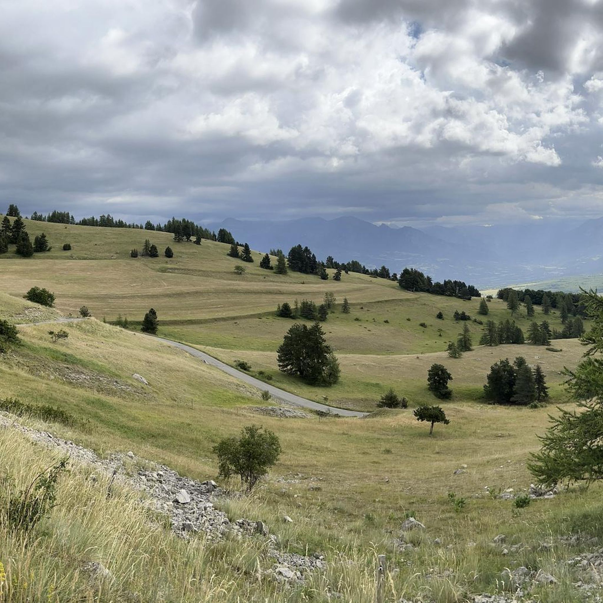
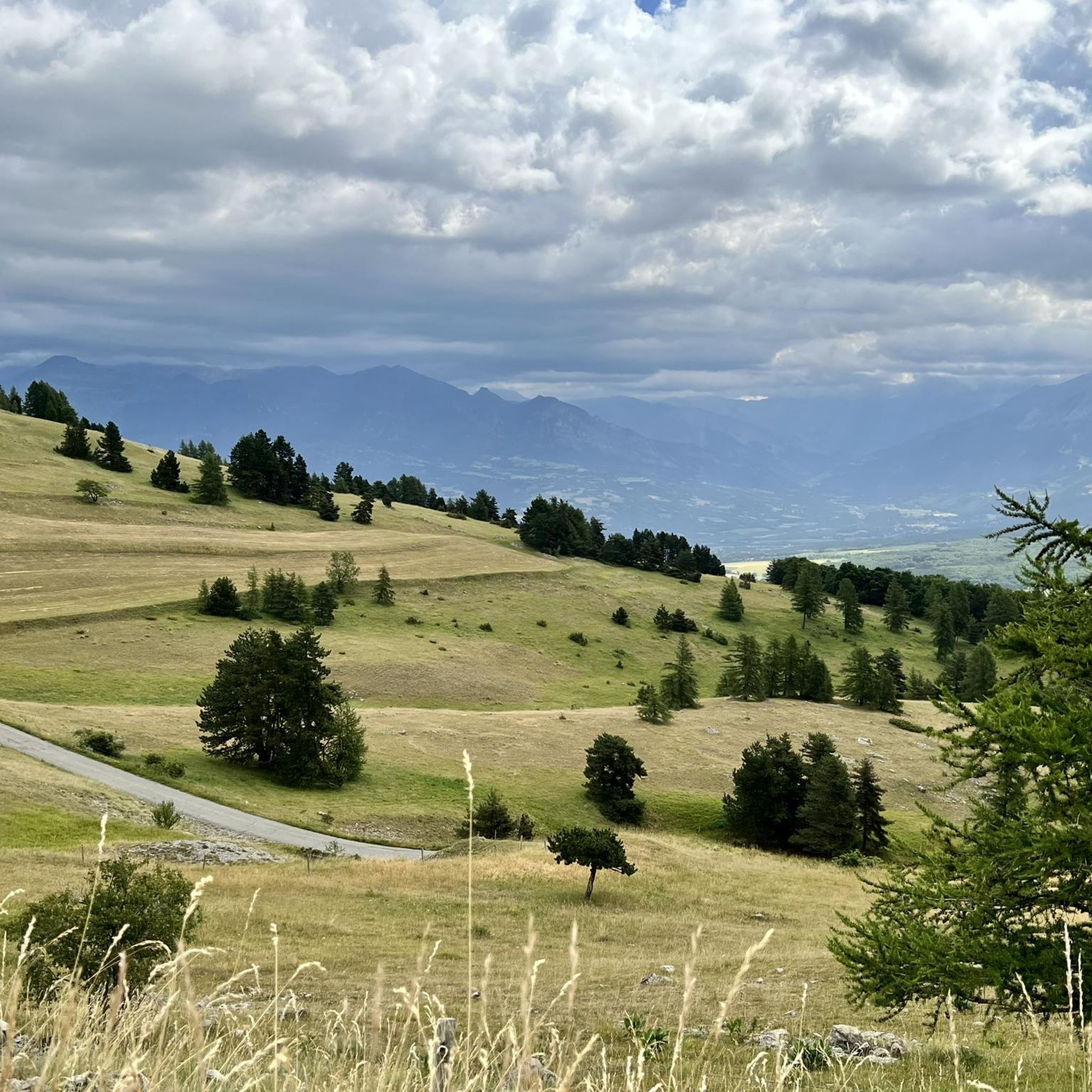
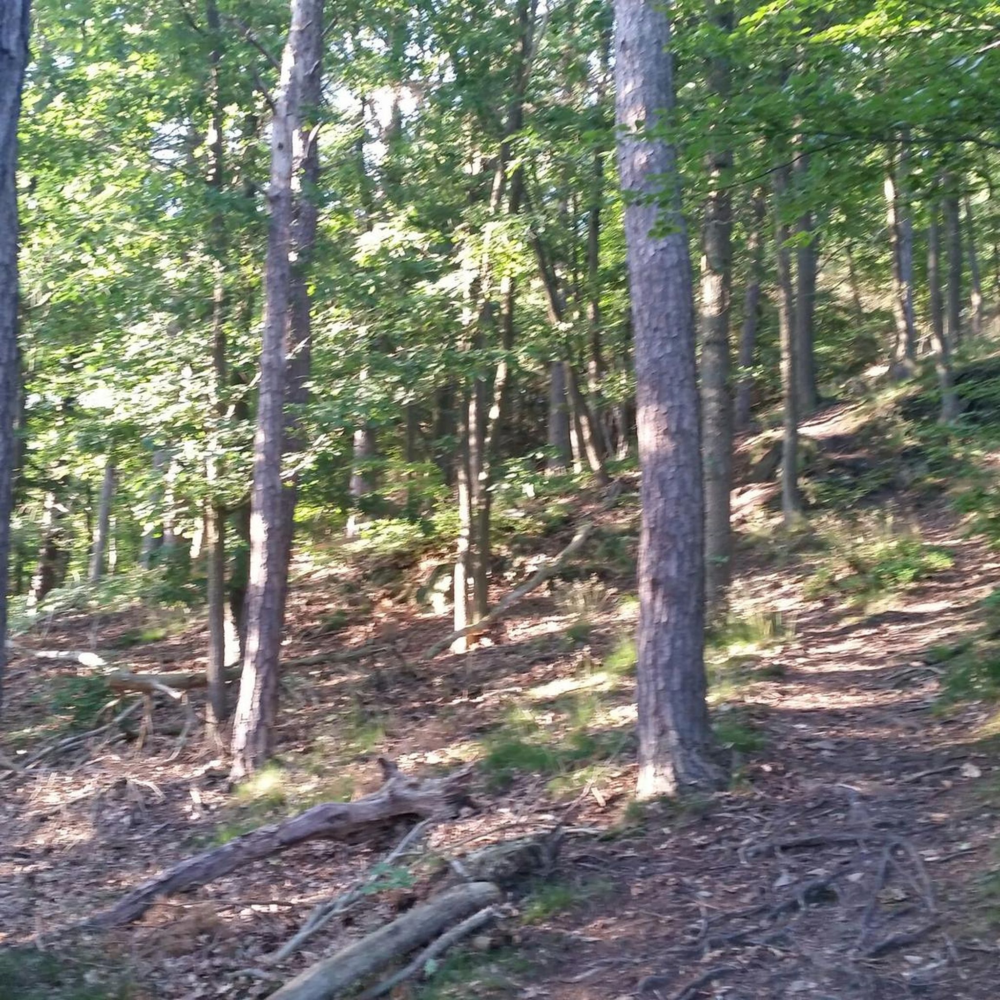
Hiking around Saint-Laurent-Du-Cros, located in the Hautes-Alpes department, offers access to the Southern French Alps with diverse natural environments. The region is characterized by mountainous terrain, verdant forested valleys, and prominent rock formations within the Champsaur valley. Extensive woodlands, including larch and beech forests, along with mountain meadows, waterfalls, and clear mountain lakes, define the landscape. High-altitude passes like Col de Noyer and Col du Viallet provide panoramic views.
Best hiking trails around Saint-Laurent-Du-Cros
- The most popular hiking route is…
Last updated: November 1, 2026
5.0
(1)
23
hikers
16.8km
05:46
880m
880m
Hard hike. Very good fitness required. Sure-footedness, sturdy shoes and alpine experience required.
2.0
(1)
30
hikers
11.0km
03:10
280m
280m
Moderate hike. Good fitness required. Easily walkable paths.

12
hikers
6.18km
01:39
70m
70m
Easy hike. Easily walkable paths.
4.0
(1)
14
hikers
9.81km
02:48
210m
210m
Moderate hike. Good fitness required. Easily walkable paths.
8
hikers
6.23km
01:41
80m
80m
Easy hike. Easily walkable paths.
Get access to more routes and recommendations from other explorers.
Already have an account?
Our route recommendations are based on thousands of hikes, rides, and runs completed by other people on komoot.
Start today with a free account
Your next adventure awaits.

Tips from the Community

Wonderful spot overlooking col bayard
0
0

El Col de Gleize from Col Bayard is a mountain pass located in the Hautes-Alpes region. It has a length of 4.8 km and a total positive elevation gain of 448 m. The average gradient of Col de Gleize from Col Bayard is 10%.
0
0

Take the time to admire this stream
0
0

A good level of fitness is required, and walking sticks are not a luxury. Wind force four did not help. Beautiful views!
0
0

It is one of the highest bocages in Europe. These landscapes are typical in France, but this one is one of the best preserved. It has a superb network of beech hedges, crops, meadows and woods which attracts beautiful biodiversity and many birds.
0
0
The Col de Gleize car park is located next to a designated picnic area. It is the starting point for many hiking trails that intersect here.
0
0

For a great picnic with a 360° view of breathtaking landscapes: meet at Pic Chaudun 🌟
0
0

The panorama is fantastic and the path is a bit technical at the end, when you really pass over the ridge (left path going up). A must-see in the region.
0
0
Frequently Asked Questions
What types of hiking trails can I expect in the Saint-Laurent-Du-Cros region?
The Saint-Laurent-Du-Cros region, nestled in the Southern French Alps, offers a diverse range of hiking trails. You'll find mountainous terrain, verdant forested valleys, and prominent rock formations within the Champsaur valley. The landscape is characterized by extensive woodlands, including larch and beech forests, mountain meadows, and clear mountain lakes. Trails range from easy strolls to challenging ascents, catering to various skill levels.
How many hiking routes are available around Saint-Laurent-Du-Cros?
There are over 300 hiking routes available around Saint-Laurent-Du-Cros. This includes 89 easy routes, 171 moderate routes, and 44 difficult routes, ensuring options for all experience levels.
Are there any family-friendly hiking options in Saint-Laurent-Du-Cros?
Yes, Saint-Laurent-Du-Cros offers many accessible routes suitable for families. The region is known for its varied terrain, with options like the 'Parcours sportif du Plateau de Bayard' providing shaded paths and gentle slopes. The Saut du Laire waterfall is also a classic family hiking destination, often with marmot sightings.
What kind of natural features and landmarks can I see while hiking?
Hikers can explore a wealth of natural features and landmarks. You'll encounter extensive woodlands like 'Le Bois de Saint-Laurent,' waterfalls such as the Pisse waterfall, and clear mountain lakes like Lac du Lauzon. The region also boasts breathtaking mountain passes offering panoramic views, including Col du Noyer (1664 m) and Col de Moissière (1573 m).
What is the best time of year to go hiking in Saint-Laurent-Du-Cros?
The Saint-Laurent-Du-Cros region is beautiful year-round, but the best time for hiking generally depends on your preference. Spring and summer offer lush greenery and wildflowers, while autumn brings vibrant colors to the beech and larch forests. High-altitude trails and passes might be snow-covered in winter and early spring, so lower elevation routes are more suitable then.
Are there any circular hiking routes available?
Yes, many routes in the region are designed as loops. For example, the Bayard Pass loop from Col Bayard offers a scenic circular walk. The region's diverse landscape lends itself well to varied loop trails.
What do other hikers say about the trails in Saint-Laurent-Du-Cros?
The hiking routes in Saint-Laurent-Du-Cros are highly regarded by the komoot community, with an average score of 4.5 stars from over 800 reviews. Hikers often praise the diverse terrain, the stunning panoramic views from mountain passes, and the well-maintained paths through forests and meadows.
Can I bring my dog on the hiking trails in Saint-Laurent-Du-Cros?
While many trails in the Hautes-Alpes are dog-friendly, it's important to check specific regulations, especially when hiking near or within protected areas like the Écrins National Park. Generally, dogs should be kept on a leash to protect local wildlife and livestock, particularly in mountain meadows where herds graze.
Are there any trails that offer impressive viewpoints?
Absolutely. The region is renowned for its panoramic views. High-altitude passes such as Col du Viallet and Pisse Pass offer magnificent vistas of the surrounding peaks, including the Écrins massif. The 'Col de la Pisse from Chaillol 1600' trail also features a balcony path leading to extensive panoramas.
What is the terrain like on the hiking trails?
The terrain around Saint-Laurent-Du-Cros is varied, reflecting its location in the Southern French Alps. You'll encounter everything from gentle, shaded paths through woodlands to more challenging ascents over rocky, mountainous terrain. Trails often wind through verdant valleys, past clear mountain streams, and across open meadows.
Are there any historical routes or points of interest?
Yes, the region has some historical elements integrated into its trails. For instance, the 'Canal de Mal Cros' from Chaillol 1600 offers a hike along the remains of an old irrigation canal, providing a glimpse into the area's past. The Walk Along the Canal de Gap loop from Col Bayard also follows a historic canal.
Where can I find amenities like cafes or accommodation near the trails?
Saint-Laurent-Du-Cros and nearby towns like Saint-Bonnet-en-Champsaur offer various amenities. You'll find cafes, restaurants, and accommodation options to suit different needs, providing convenient bases for your hiking adventures in the region.
Most popular routes around Saint-Laurent-Du-Cros
Most popular attractions around Saint-Laurent-Du-Cros

Get inspired with the komoot mobile app


Explore more
Browse the best Hikes in other regions.
