The best running trails around Saint-Laurent-Du-Cros
4.4
(81)
6,278
runners
377
runs
Jogging around Saint-Laurent-Du-Cros offers access to a diverse natural environment within the Hautes-Alpes department of France. The region is characterized by the picturesque Champsaur Valley, featuring varied landscapes from hedgerows to higher-altitude terrain. Joggers can explore gentle paths through fields and beech woods, including biologically rich marshy areas known as "sagnes." The surrounding area also presents more challenging running routes over mountain passes, providing panoramic views of the Champsaur, Dévoluy, and Gapençais regions.
Best jogging routes around Saint-Laurent-Du-Cros
- The most…
Last updated: July 1, 2026
10
runners
9.81km
01:14
210m
210m
Moderate run. Good fitness required. Mostly paved surfaces. Suitable for all skill levels.
47
runners
3.44km
00:24
30m
30m
Easy run. Great for any fitness level. Mostly paved surfaces. Suitable for all skill levels.

Sign up for free
28
runners
5.77km
00:42
90m
90m
Moderate run. Good fitness required. Mostly paved surfaces. Suitable for all skill levels.
4.0
(1)
26
runners
10.2km
01:06
120m
120m
Moderate run. Good fitness required. Mostly paved surfaces. Suitable for all skill levels.
11
runners
20.9km
02:26
370m
370m
Hard run. Very good fitness required. Mostly paved surfaces. Suitable for all skill levels.
Get access to more routes and recommendations from other explorers.
Sign up for free
Already have an account?
Our route recommendations are based on thousands of hikes, rides, and runs completed by other people on komoot.
Start today with a free account
Your next adventure awaits.
Login or Signup

Tips from the Community

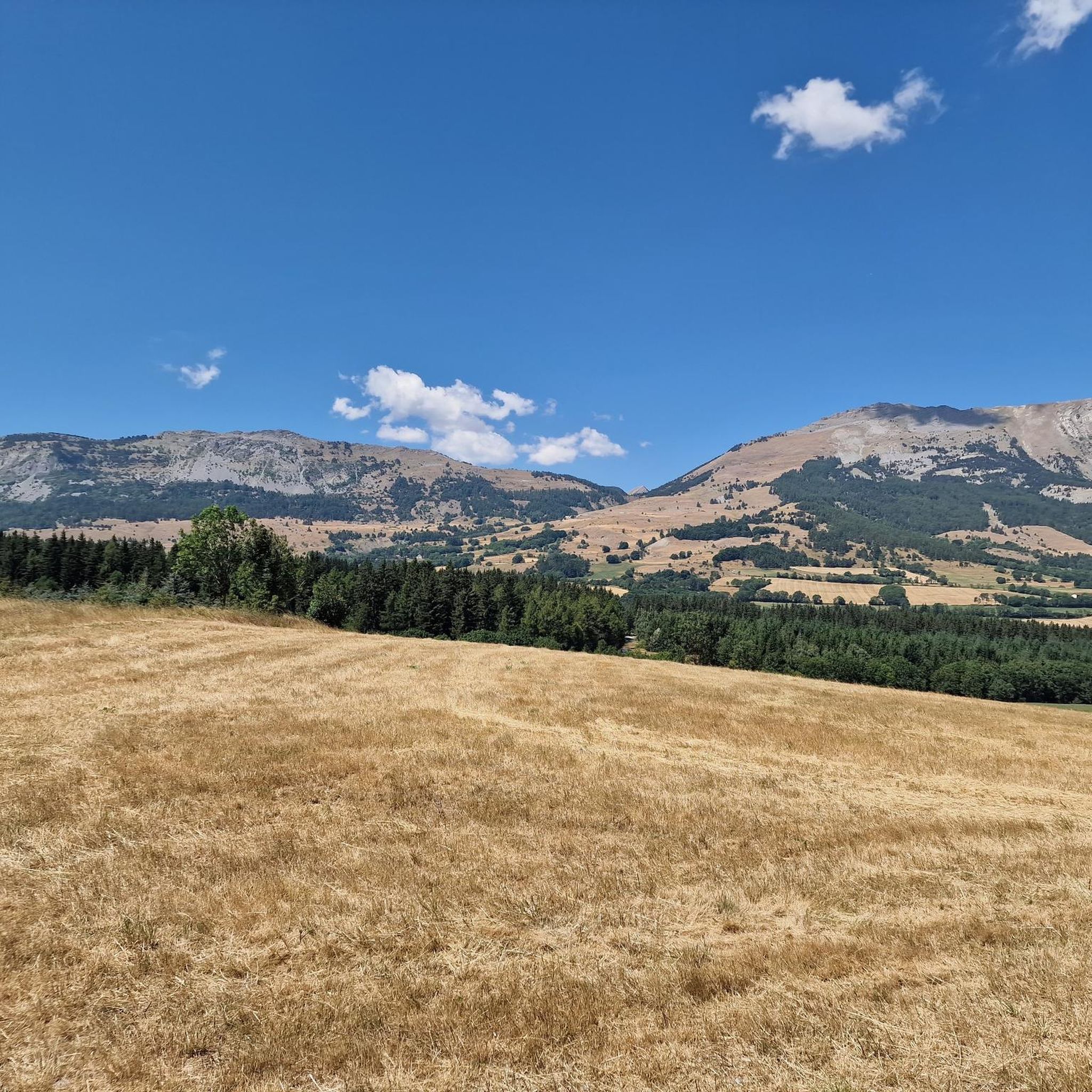
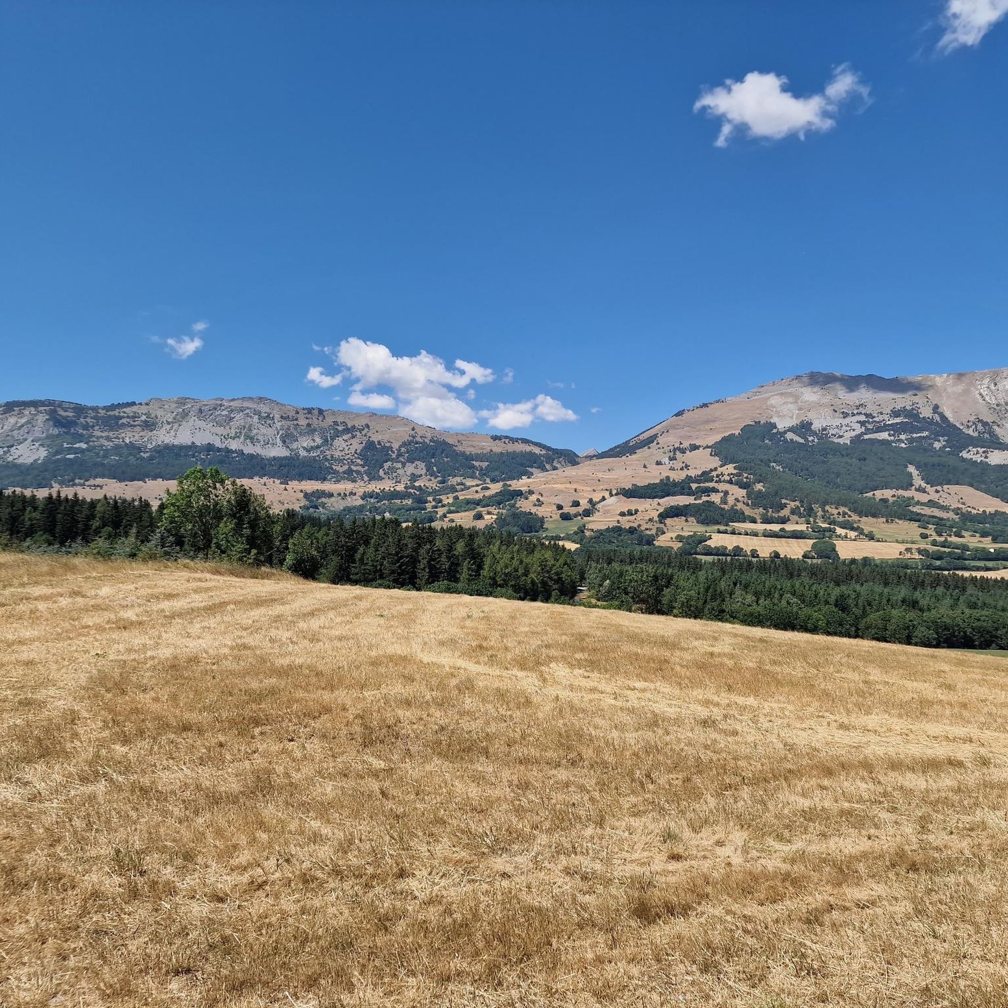
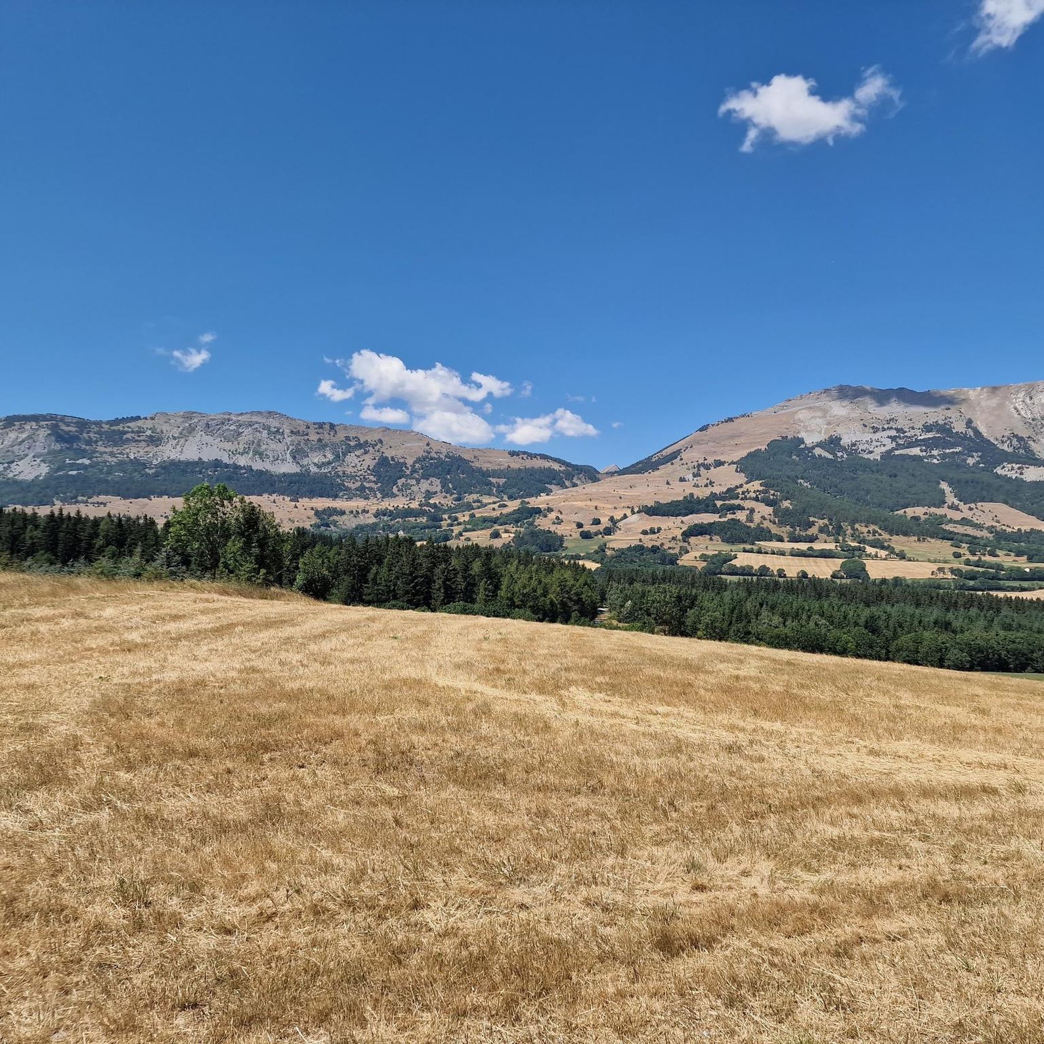
Saint-Bonnet-en-Champsaur, a charming village in the Hautes-Alpes, overlooks the Drac. It offers a peaceful setting with its varied accommodation, such as campsites and B&Bs, as well as several restaurants. Perfect for nature lovers, it is an ideal starting point for exploring the Écrins National Park.
0
0

a haven of freshness along the canal
0
0

Nice little place above the Drac. Everything is available: campsite, guest houses, restaurants. Nice location. More information: https://de.wikipedia.org/wiki/Saint-Bonnet-en-Champsaur
1
0
Frequently Asked Questions
How many running routes are available around Saint-Laurent-Du-Cros?
There are over 390 dedicated running routes around Saint-Laurent-Du-Cros, offering a wide range of options for all fitness levels. These include 22 easy routes, 205 moderate trails, and 167 more challenging runs.
Are there any easy or beginner-friendly jogging paths in the area?
Yes, Saint-Laurent-Du-Cros offers several easy jogging paths perfect for beginners or a relaxed run. A great option is the Plan d'eau du Champsaur loop from Saint-Julien-en-Champsaur, an easy 2.1-mile (3.4 km) path that circles a water body, providing scenic views of the valley. The region's 'sagnes' (marshy areas) also offer gentle, scenic loops.
What kind of landscapes can I expect to see while running near Saint-Laurent-Du-Cros?
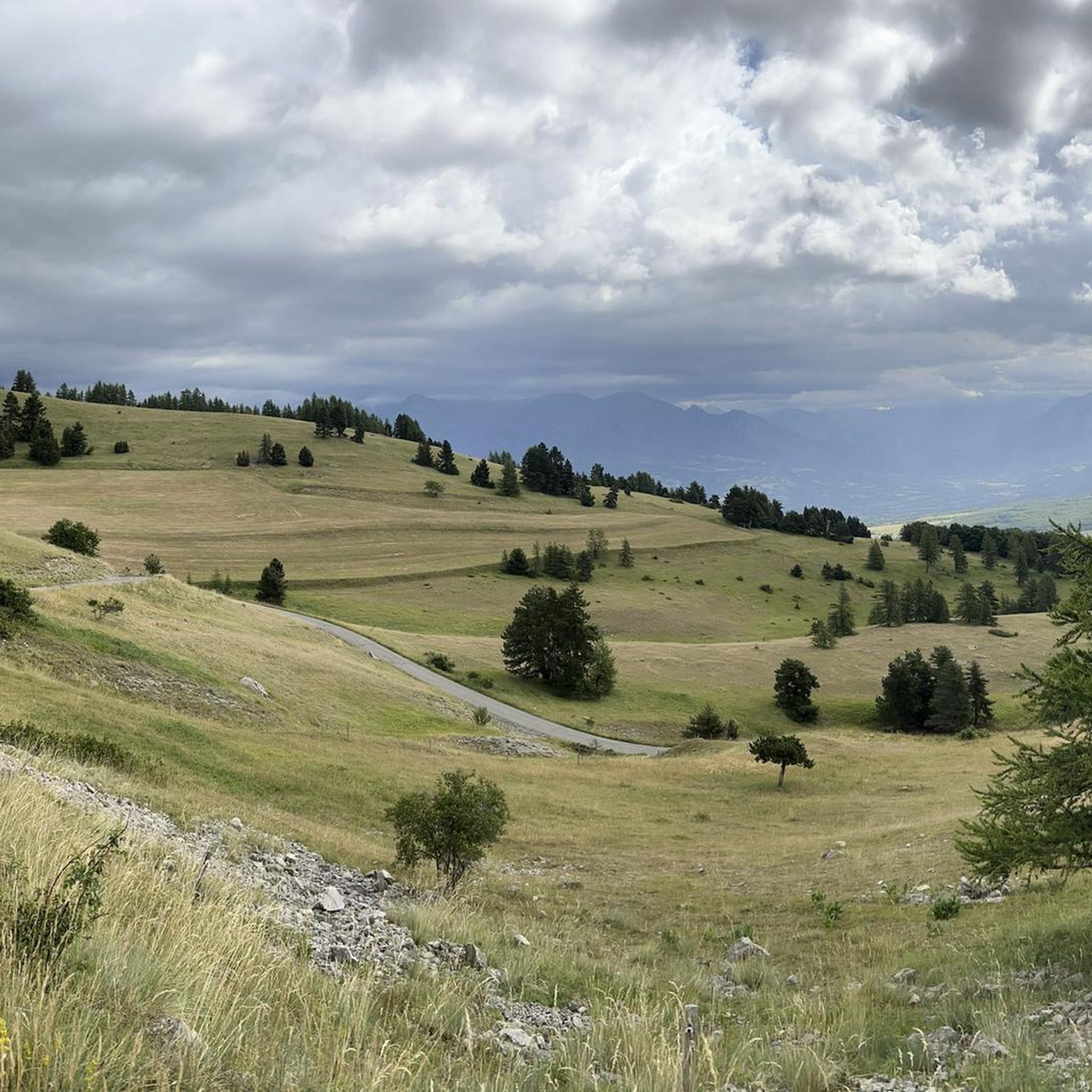
Jogging around Saint-Laurent-Du-Cros immerses you in the diverse landscapes of the Champsaur Valley. You'll encounter everything from gentle paths through hedgerows and beech woods to biologically rich marshy areas. More challenging routes ascend mountain passes, rewarding you with breathtaking panoramic views of the Champsaur, Dévoluy, and Gapençais regions.
Are there any longer or more challenging running trails for experienced runners?
Absolutely. For those seeking a challenge, the area provides numerous difficult routes, including ascents over mountain passes. The Départ du 9 loop from Col Bayard is a difficult 13-mile (20.9 km) trail that leads through demanding mountain terrain, perfect for experienced trail runners.
What do other runners say about the trails in Saint-Laurent-Du-Cros?
The running routes in Saint-Laurent-Du-Cros are highly rated by the komoot community, with an average score of 4.5 stars from over 80 reviews. More than 6,800 runners have explored the varied terrain, often praising the stunning natural beauty, refreshing mountain air, and the diversity of paths available.
Are there any scenic loop running routes available?
Yes, many routes in the area are loops, allowing you to start and finish in the same location while enjoying varied scenery. For example, the Running loop from Laye is a popular 4.7-mile (7.5 km) trail offering diverse terrain within the Champsaur Valley.
Can I find routes that pass by interesting natural landmarks or attractions?
Yes, the region is rich in natural beauty and landmarks. Many routes offer views of or pass near significant mountain passes like Col du Noyer (1664 m) or Col de Gleize (1691 m), which provide spectacular vistas. You might also encounter the unique marshy areas known as 'sagnes' or the impressive Chemin de rondes and its cliffs.
What is the best time of year to go jogging in Saint-Laurent-Du-Cros?
The Hautes-Alpes region, including Saint-Laurent-Du-Cros, offers excellent jogging conditions for much of the year. Spring and autumn provide pleasant temperatures and vibrant scenery. Summer is also popular, especially for higher-altitude trails where the air is cooler. Winter running is possible, particularly on lower valley paths, though some mountain routes may require specific gear or be inaccessible due to snow.
Are there any running routes that start near parking facilities?
Many of the routes in the Saint-Laurent-Du-Cros area are accessible by car, with starting points often located near villages or mountain passes where parking is available. For instance, routes like the Running loop from Col Bayard begin from well-known passes that typically have parking options.
Are there any routes suitable for families with children?
For families, the easier, flatter routes in the valleys are ideal. The 'sagnes' trails, directly accessible from the village, are gentle loops designed for discovering local flora and fauna, making them a pleasant and educational option for families. The Plan d'eau du Champsaur loop is another excellent, easy choice.
Can I bring my dog on the running trails?
Many trails in the Hautes-Alpes are dog-friendly, especially those outside of protected national park zones where specific regulations might apply. It's always recommended to keep your dog on a leash, particularly in areas with livestock or wildlife, and to check local signage for any restrictions. The valley paths and forest trails are generally suitable for running with your canine companion.
Are there any routes that offer views of water bodies or lakes?
Yes, the region features beautiful water bodies. The Plan d'eau du Champsaur loop from Saint-Julien-en-Champsaur directly circles a water body, offering lovely views. Additionally, the wider Hautes-Alpes region is home to Lac de Serre-Ponçon, a large artificial lake surrounded by mountains, which offers trails and viewpoints within about 24 km of Saint-Laurent-Du-Cros.
What is the average duration for a jogging route in this area?
The duration of jogging routes varies significantly based on distance and difficulty. An easy 2.1-mile (3.4 km) loop like the Plan d'eau du Champsaur loop takes about 25 minutes, while a moderate 3.6-mile (5.9 km) trail such as the Running loop from Col Bayard can be completed in about 40 minutes. Longer, more difficult routes can take several hours.
Most popular routes around Saint-Laurent-Du-Cros
Most popular attractions around Saint-Laurent-Du-Cros

Get inspired with the komoot mobile app


Explore more
Browse the best Running Trails & Routes in other regions.
