The best mountain hikes around Draillant
5.0
(3)
10
hikers
2
hikes
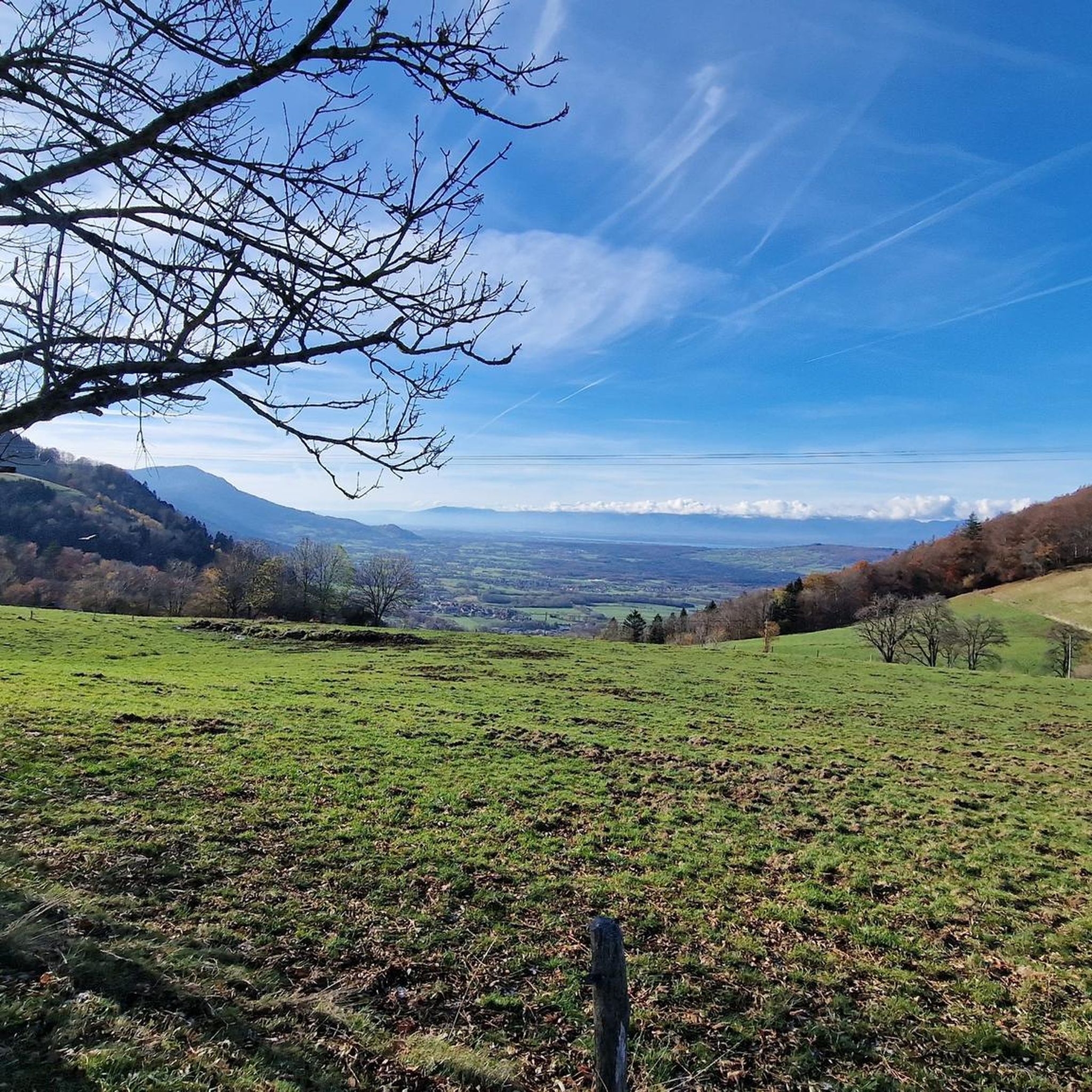
Mountaineering routes around Draillant are situated in the mountainous Haute-Savoie region of France, offering access to challenging natural features and alpine landscapes. The area is characterized by forested mountains, such as Montforchat, and provides starting points for significant ascents like the Col de Cou and Col des Moises. Its location serves as a gateway to high-altitude pursuits, including the nearby Mont Blanc massif, Vanoise National Park, and Aravis Mountains, which feature glaciers, high peaks, and diverse rock climbing opportunities.
Best…
Last updated: July 6, 2026
5.0
(2)
5
hikers
8.33km
03:45
560m
560m
Moderate mountaineering route. Good fitness required. Mostly accessible paths. Sure-footedness required.
5.0
(1)
2
hikers
9.41km
04:29
740m
740m
Moderate mountaineering route. Good fitness required. Mostly accessible paths. Sure-footedness required.

Sign up for free
1
hikers
8.25km
02:52
390m
390m
Hard mountaineering route. Good fitness required. Sure-footedness, sturdy shoes and alpine experience required.
Our route recommendations are based on thousands of hikes, rides, and runs completed by other people on komoot.
Start today with a free account
Your next adventure awaits.
Login or Signup
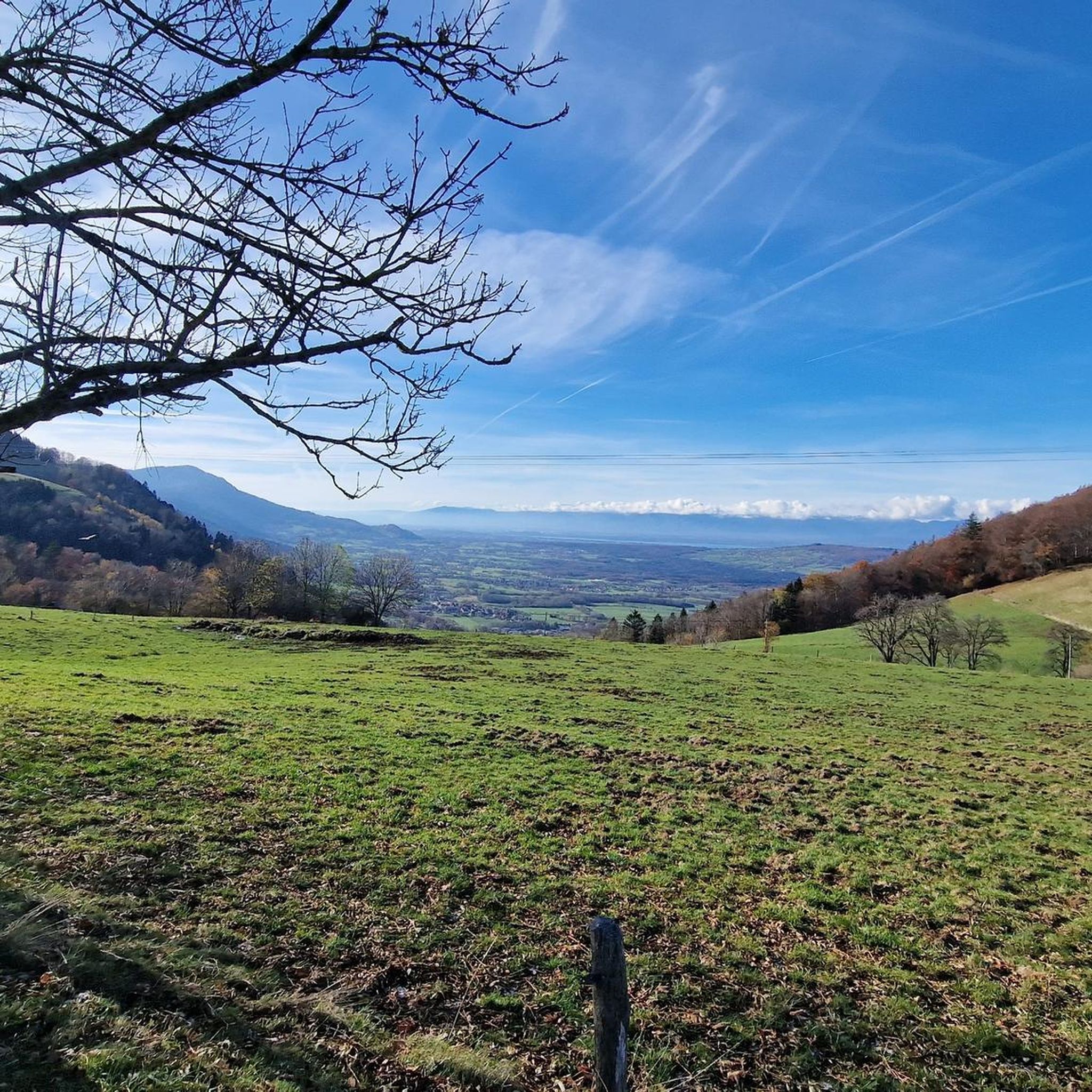
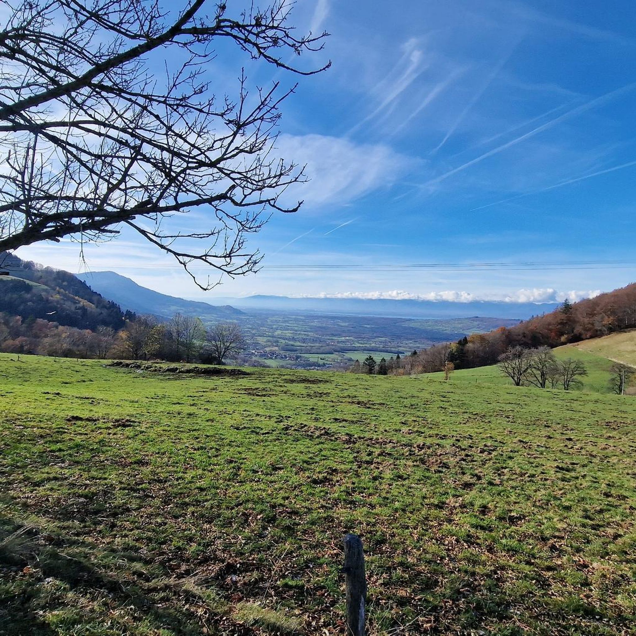
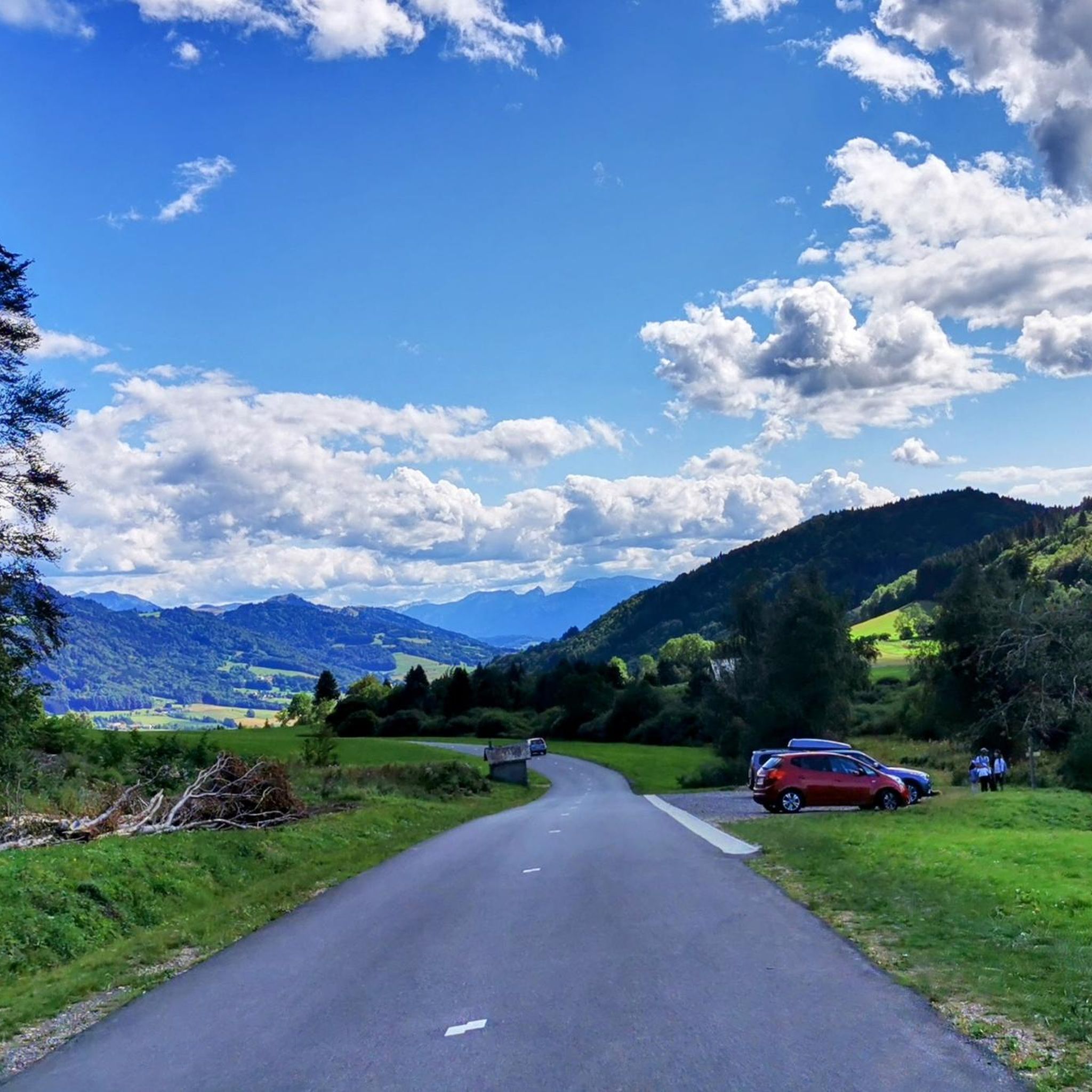
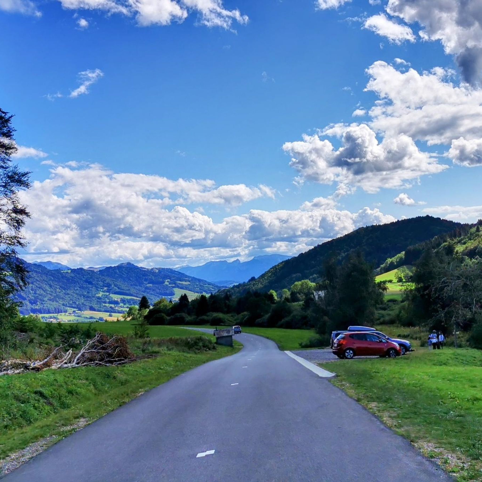

Tips from the Community


The Ajon climb is signposted from Villard. It is 7.3 kilometres long and has an average gradient of 8.3% with a passage at over 15%. At the top, the view at an altitude of 1,406 metres is delightful.
1
0

Steep ascent, many parts are steeper than 10%. In 2023, this climb was included in the Tour.
0
1


The Plaine Joux de Passy is 13.3 km long with a total drop of 756 m. The average gradient is 5.7% with maximum gradients of 15%.
2
1

Col de Seytrouset, just on the heights of the mountain pasture of the same name, you can continue towards Niflon d'en Haut on one side or descend on the other to reach the Col de la Balme, above Avanchéreau. Nice point of view.
0
0

Frequently Asked Questions
What kind of mountaineering routes can I find around Draillant?
The Draillant area, nestled in Haute-Savoie, offers a variety of mountaineering experiences. You'll find routes that traverse forested mountains and provide access to significant ascents like the Col de Cou and Col des Moises. The region serves as a gateway to high-altitude pursuits, including those in the nearby Mont Blanc massif and Vanoise National Park, featuring glaciers, high peaks, and diverse rock climbing opportunities.
Are there any challenging mountaineering routes near Draillant?
Yes, Draillant is a great base for challenging ascents. For instance, the Pointe de Miribel loop from Bogève is a difficult route leading through alpine forests with panoramic views. Another challenging option is the Ascent to Plaine-Joux – Pointe de Miribel loop from Pointe de Miribel, which also offers a significant climb.
What do other mountaineers say about the routes in Draillant?
The mountaineering routes around Draillant are highly regarded by the komoot community, boasting an average score of 5.0 stars from over 3 reviews. Many of the 10+ mountaineers who have explored the area praise its varied terrain and the rewarding alpine experiences it offers.
Are there any circular mountaineering routes available?
Yes, several routes around Draillant are circular, allowing you to start and end at the same point. Examples include the moderate Pointe d'Ireuse – Gouffre de la Tanne à Neige loop from Thonon-les-Bains and the Col de Seytrouset – Col de la Balme loop from Bellevaux. The difficult Pointe de Miribel loop from Bogève is also a circular option.
What natural attractions can I see along mountaineering routes near Draillant?
While mountaineering, you can discover several natural attractions. Consider visiting the Belvedere Park for stunning views, or explore the impressive The Gorges of Pont du Diable. Other notable natural features include the Copacou Stone and the serene Jotty Lake and Dam.
Are there any historical landmarks or castles to visit near Draillant?
Yes, the region around Draillant is rich in history. You can visit the magnificent Château de Ripaille or the historic Rocafort Castle. The Châteaux des Allinges also offers a glimpse into the area's past.
What is the best time of year for mountaineering in Draillant?
The best time for mountaineering in Draillant typically spans from late spring through early autumn (May to October). During these months, the weather is generally more stable, and trails are clear of snow at lower to mid-altitudes. For higher alpine routes or glacier trekking in nearby areas like Mont Blanc, summer (July-August) is usually preferred, but always check local conditions and forecasts.
Are there opportunities for rock climbing in the Draillant area?
While Draillant itself is more focused on mountain hikes, its location in Haute-Savoie places it near excellent rock climbing sites. The Aravis Mountains, for example, offer numerous natural cliffs and developed sites for sport climbing, bouldering, and introductory courses, catering to various skill levels.
What kind of wildlife might I encounter on the trails?
The forested mountains and alpine environments around Draillant are home to diverse wildlife. You might spot chamois and ibex in higher rocky areas, various bird species, and potentially marmots. Keep an eye out for local flora and fauna, but always observe from a distance and respect their natural habitat.
Are there any permits required for mountaineering or climbing near Draillant?
For general mountaineering routes around Draillant, specific permits are typically not required. However, if you plan to venture into protected areas like Vanoise National Park or undertake technical climbs in the Mont Blanc massif, certain regulations or guide requirements may apply. It's always advisable to check with local authorities or mountain guide associations for the most current information, especially for high-altitude or glacier travel.
Where can I find accommodation or places to eat near Draillant?
Draillant and the surrounding villages in Haute-Savoie offer various options for accommodation, cafes, and restaurants. You'll find guesthouses, hotels, and local eateries that provide traditional Savoyard cuisine. For more specific information on local amenities, it's best to check local tourism resources or explore the nearby towns.
Most popular routes around Draillant
Most popular attractions around Draillant

Get inspired with the komoot mobile app


Explore more
Browse the best Mountain Hikes & Routes in other regions.
