The best cycling routes around Draillant
4.1
(338)
5,943
riders
202
rides
Touring cycling routes around Draillant navigate a landscape characterized by significant elevation changes, including mountain passes and hills. The region features varied terrain, from challenging climbs to scenic descents, offering views of surrounding peaks and valleys. This area is well-suited for cyclists seeking routes with notable ascents and rewarding vistas.
Best touring cycling routes around Draillant
- The most popular touring cycling route is Col du Feu – View of Dent d' Oche loop from Perrignier, a 24.0 miles (38.6…
Last updated: July 5, 2026
4.7
(3)
89
riders
38.7km
02:42
750m
750m
Hard bike ride. Very good fitness required. Mostly paved surfaces. Suitable for all skill levels.
36
riders
85.3km
06:24
2,070m
2,070m
Hard bike ride. Very good fitness required. Mostly paved surfaces. Suitable for all skill levels.

Sign up for free
4.3
(3)
54
riders
35.5km
02:45
950m
950m
Hard bike ride. Very good fitness required. Mostly paved surfaces. Suitable for all skill levels.
4.0
(2)
20
riders
21.0km
01:36
540m
540m
Hard bike ride. Very good fitness required. Mostly paved surfaces. Suitable for all skill levels.
5.0
(1)
37
riders
44.6km
03:47
1,090m
1,090m
Hard bike ride. Very good fitness required. You may need to push your bike for some segments of this route.
Get access to more routes and recommendations from other explorers.
Sign up for free
Already have an account?
Our route recommendations are based on thousands of hikes, rides, and runs completed by other people on komoot.
Start today with a free account
Your next adventure awaits.
Login or Signup
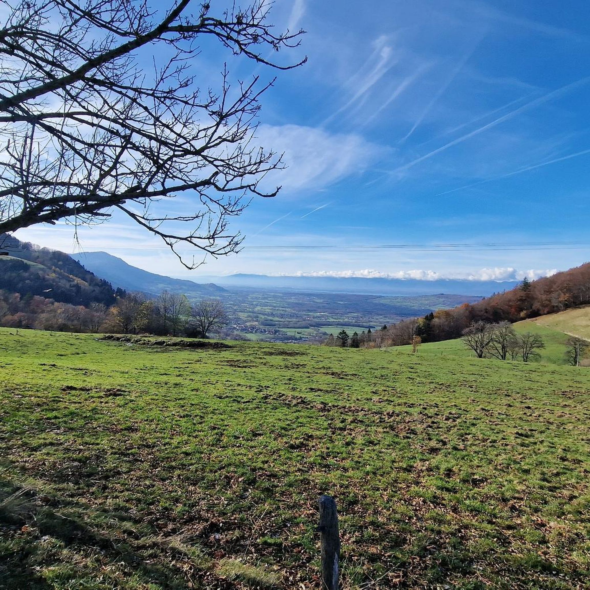
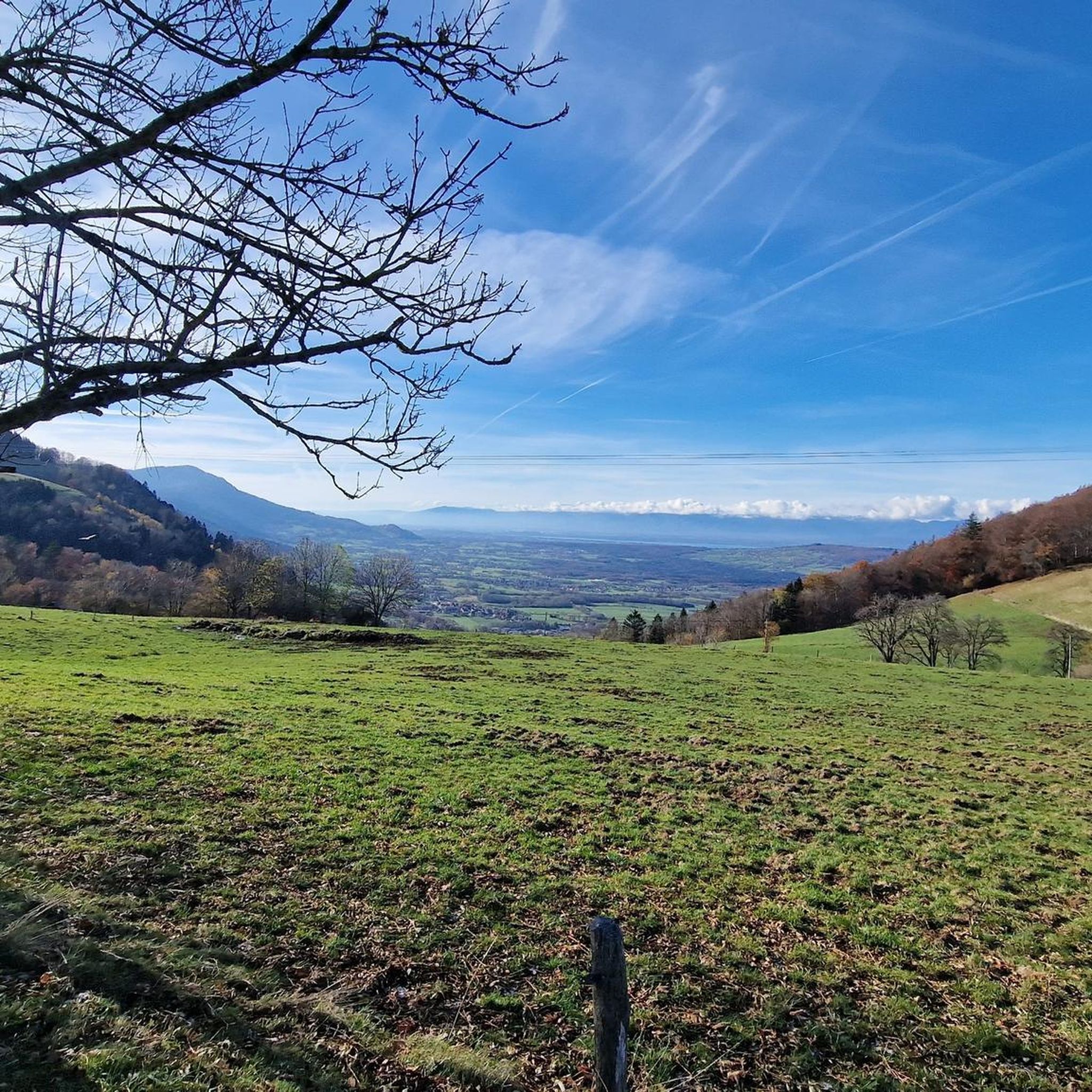
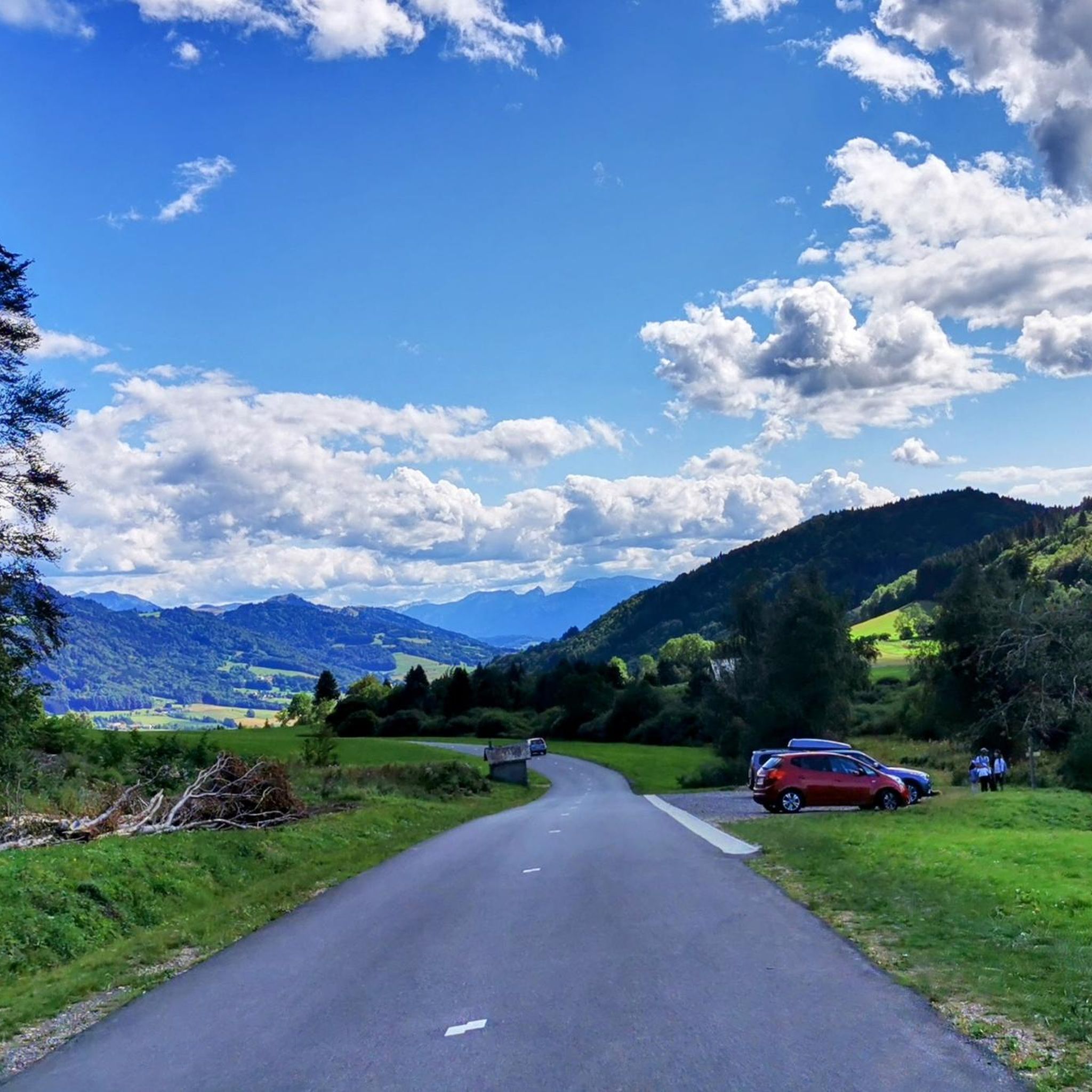
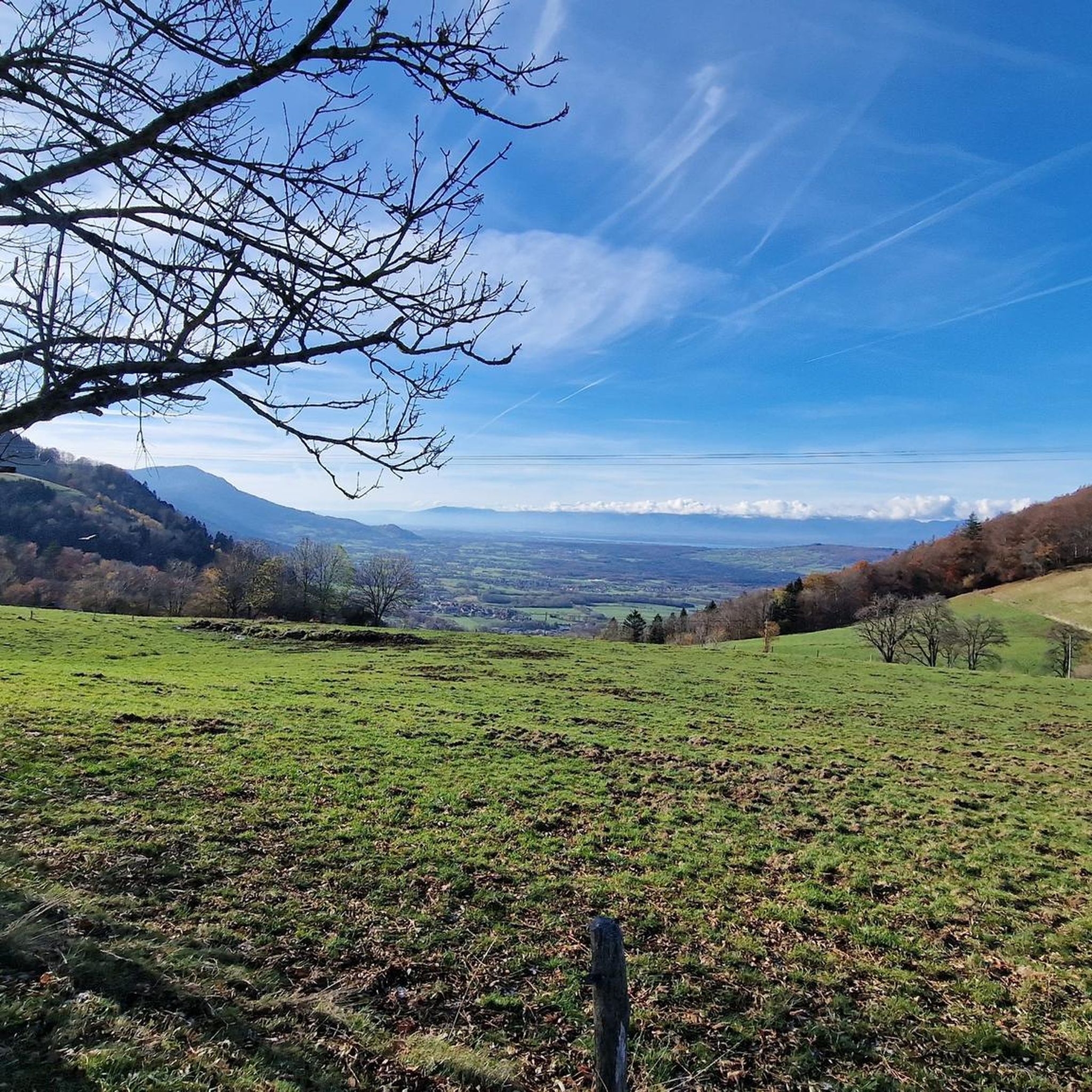

Tips from the Community

Nice Spot! Absolutely cyclitsapproved 🫵🫰
0
0
Beautiful Spot! Absolutely cyclitsapproved 🫵🫰
0
0
Nice Spot! Absolutely cyclitsapproved 🫵🫰
0
0

One of the quietest, wildest and most beautiful passes in Chablais!
1
0


Brand new asphalt for Très le Mont
1
0

Reservoir surrounded by dense vegetation. Beautifully situated.
2
0
Frequently Asked Questions
How many touring cycling routes are available around Draillant?
There are nearly 200 touring cycling routes around Draillant listed on komoot. This includes a variety of options, with 33 routes considered easy, 70 moderate, and 92 difficult, catering to different skill levels.
Are there any easy touring cycling routes for beginners in Draillant?
Yes, Draillant offers 33 touring cycling routes classified as easy. While the region is known for its challenging terrain, these easier options provide a gentler introduction to the area's scenic beauty. For example, the Cou Pass (1116 m) loop from Draillant, though rated difficult, is one of the shorter options at 23.3 km, offering a taste of the region's climbs without the extreme distances.
What are some challenging touring cycling routes in Draillant?
Draillant is well-suited for cyclists seeking challenging routes with significant elevation changes. Options include the Col du Feu – Col du Corbier (1230 m) loop from Perrignier, which spans 85.3 km with over 2000 meters of ascent, and the Col du Feu – View of Dent d' Oche loop from Perrignier, a 38.6 km route with panoramic views.
Are there any circular touring bike trails around Draillant?
Many of the touring cycling routes in Draillant are designed as loops, allowing you to start and finish at the same point. Examples include the Col du Feu – View of Dent d' Oche loop from Perrignier and the Recovery outing – Col de Cou loop from Perrignier, both offering scenic circular journeys through the region's hilly terrain.
What kind of views can I expect on Draillant cycling routes?
Touring cycling routes around Draillant offer rewarding vistas of surrounding peaks and valleys. The landscape is characterized by mountain passes and hills, providing panoramic views, such as those found on the Col du Feu – View of Dent d' Oche loop from Perrignier, which specifically highlights views of Dent d'Oche.
What are some interesting places to explore or landmarks to see along the touring cycling routes?
The Draillant area is rich in natural and historical landmarks. You can cycle past several notable mountain passes like Col de Cou, Jambaz Pass, and Col du Feu. Additionally, historical sites such as Châteaux des Allinges and Château de Ripaille are accessible, with routes like the Allinges Castles – Col du Feu loop from Cervens passing by these historic structures.
What is the best season for touring cycling in Draillant?
Given the region's significant elevation changes and mountain passes, late spring through early autumn (May to October) is generally the best season for touring cycling in Draillant. During these months, the weather is typically more stable, and mountain passes are clear of snow, offering optimal conditions for enjoying the scenic routes.
What do other touring cyclists say about the routes in Draillant?
The touring cycling routes in Draillant are highly regarded by the komoot community, with an average rating of 4.2 stars from over 260 reviews. Over 5000 touring cyclists have explored the varied terrain, often praising the challenging climbs, rewarding vistas, and the well-maintained paths through the region's unique landscape.
Are there any cafes or places to stop for refreshments along the touring bike trails?
While specific cafes are not listed for every route, the touring cycling routes in Draillant often pass through or near small villages and towns. These locations typically offer opportunities for refreshments, such as cafes, bakeries, or small shops, especially in areas like Perrignier, which serves as a common starting point for several tours.
What kind of gear is recommended for touring bike trails near Draillant?
Given the significant elevation changes and varied terrain, it's recommended to use a touring bicycle equipped with appropriate gearing for climbing. Essential gear includes a helmet, water bottles, repair kit, and weather-appropriate clothing, as conditions can change quickly in mountainous areas. Navigation tools, such as a GPS device or the komoot app, are also highly advisable.
Is public transport available to access touring bike trails in Draillant?
Public transport options in the Draillant area may be limited, especially for directly accessing remote trailheads. However, larger towns like Thonon-les-Bains or Annemasse, which are regional transport hubs, might offer connections to smaller villages closer to the routes. It's advisable to check local bus or train schedules for specific connections to your chosen starting point.
Where can I find parking at Draillant touring bike trailheads?
Parking availability varies by trailhead. Many touring cycling routes in Draillant start from villages or towns such as Perrignier or Cervens, where public parking areas are typically available. For more remote starting points, roadside parking might be an option, but it's always recommended to check local regulations and ensure safe and legal parking.
Most popular routes around Draillant
Most popular attractions around Draillant

Get inspired with the komoot mobile app


Explore more
Browse the best Cycling routes in other regions.
