The best road cycling routes around Draillant
4.6
(238)
10,268
riders
112
rides
Road cycling around Draillant, a village in Haute-Savoie, France, offers diverse terrain characterized by its mountainous topography and significant elevation changes. The region features numerous cols and winding roads, providing both pleasant routes and challenging ascents. Cyclists can expect a mix of climbs and descents through wooded areas and open landscapes, with views extending towards prominent natural features.
Best road cycling routes around Draillant
- The most popular road cycling route is Col du Feu – Jambaz Pass loop from Perrignier…
Last updated: July 1, 2026
429
riders
123km
06:47
2,590m
2,590m
Hard road ride. Very good fitness required. Mostly well-paved surfaces and easy to ride.
4.6
(7)
231
riders
56.6km
02:48
880m
880m
Moderate road ride. Good fitness required. Mostly well-paved surfaces and easy to ride.

Sign up for free
4.3
(3)
53
riders
29.3km
01:41
690m
690m
Moderate road ride. Good fitness required. Mostly well-paved surfaces and easy to ride.
43
riders
99.9km
05:44
2,340m
2,340m
Hard road ride. Very good fitness required. Mostly well-paved surfaces and easy to ride.
38
riders
34.9km
02:10
840m
840m
Moderate road ride. Good fitness required. Mostly well-paved surfaces and easy to ride.
Get access to more routes and recommendations from other explorers.
Sign up for free
Already have an account?
Our route recommendations are based on thousands of hikes, rides, and runs completed by other people on komoot.
Start today with a free account
Your next adventure awaits.
Login or Signup
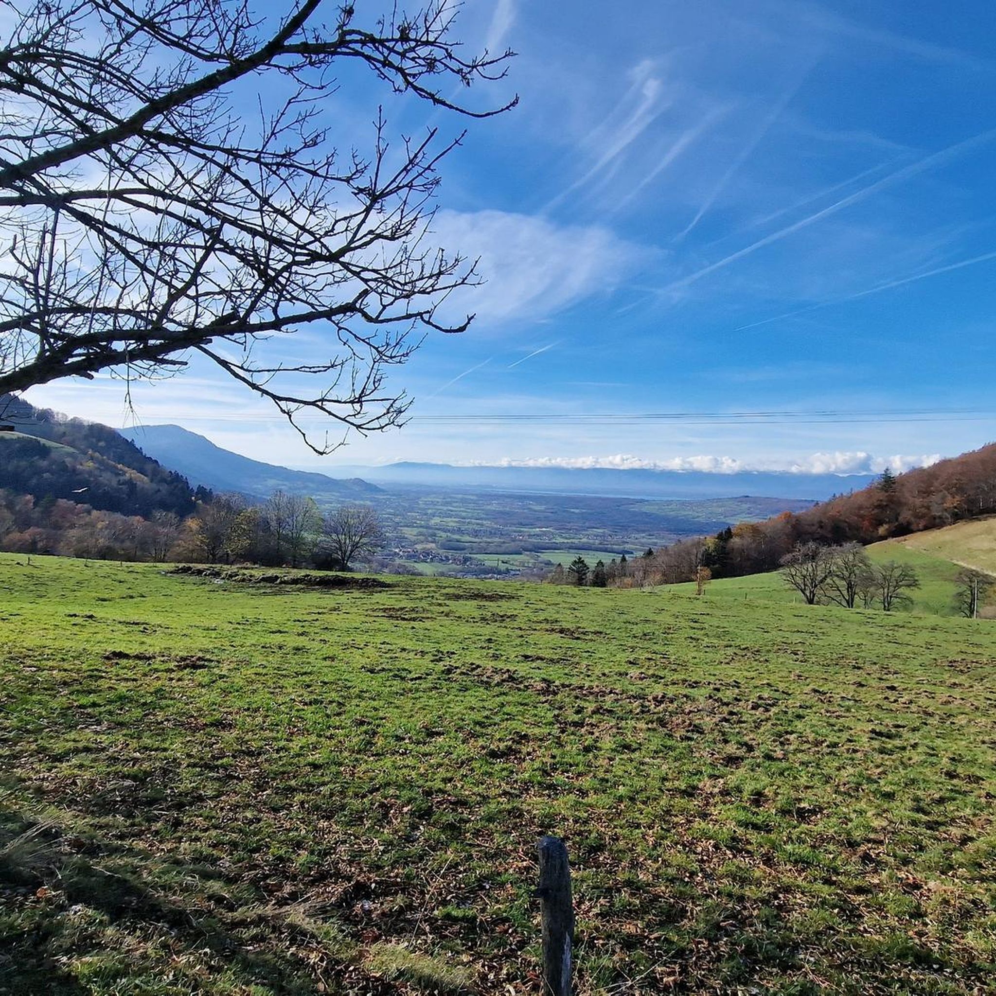
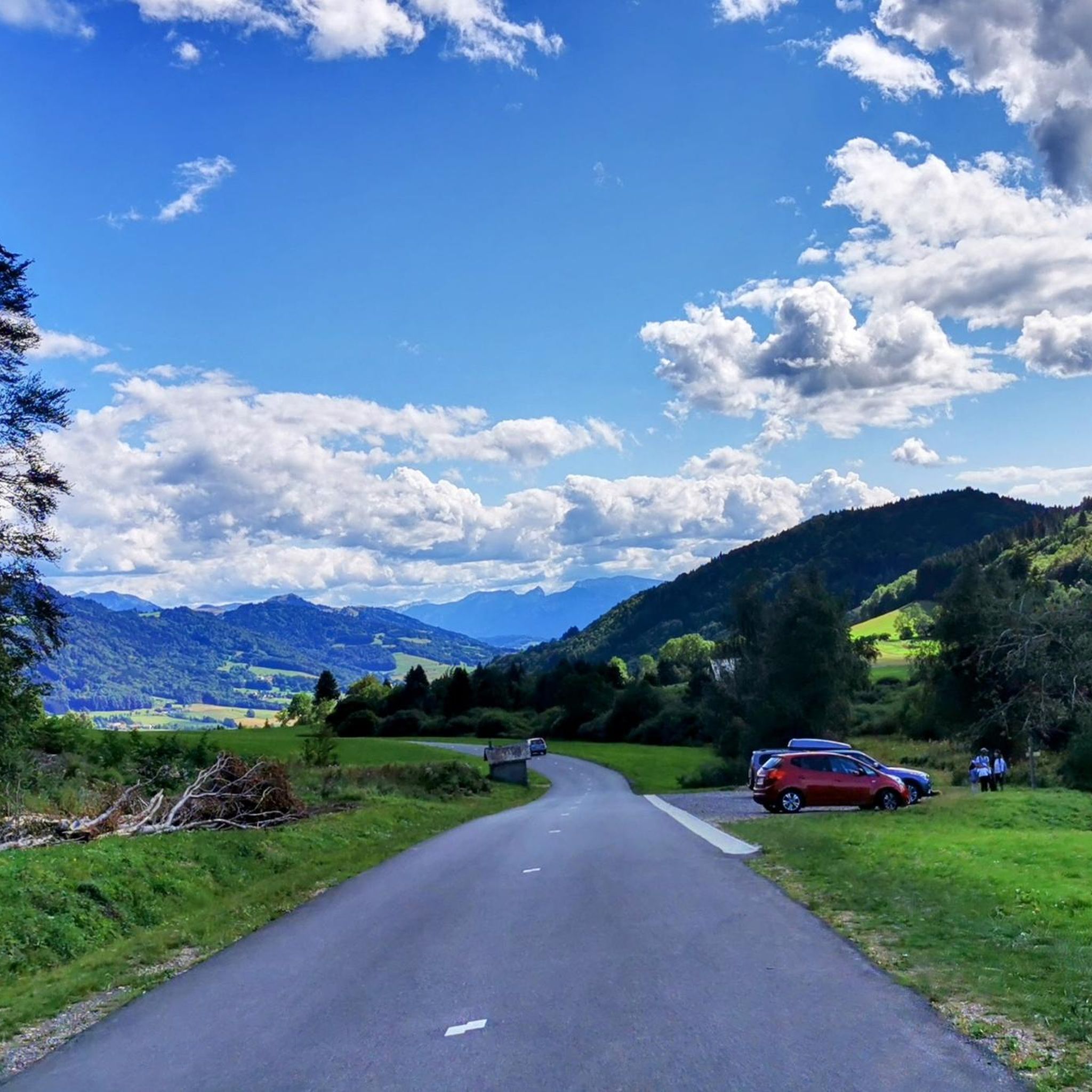

Tips from the Community


Nice Spot! Absolutely cyclitsapproved 🫵🫰
0
0


Road parallel to that of the Saxel pass but quieter and without cars!
0
0
Frequently Asked Questions
How many road cycling routes are available around Draillant?
Draillant and its surrounding area offer over 100 road cycling routes, catering to various skill levels. You'll find a mix of easy, moderate, and difficult trails, ensuring there's something for every cyclist.
What kind of terrain can I expect when road cycling near Draillant?
The terrain around Draillant is characterized by its mountainous topography, featuring numerous cols and winding roads. Cyclists can expect a diverse experience with both challenging ascents and enjoyable descents through wooded areas and open landscapes. The region's elevation changes provide varied experiences, from steady climbs like the Col de Cou to more demanding sections with gradients up to 9% towards Col des Moises.
Are there road cycling routes suitable for beginners or those looking for an easier ride?
Yes, Draillant offers 18 easy road cycling routes. These paths provide a gentler introduction to the region's beautiful scenery without the intense climbs found on more difficult trails. You can find options that allow for a pleasant ride through the local landscapes.
What are some notable natural features or landmarks to see along the road cycling routes?
The region boasts stunning natural beauty. You can cycle past prominent peaks like Mount Forchat, or enjoy views of Lake Geneva, which is approximately 16 km from Draillant. The area is also home to picturesque mountain passes such as Col de Cou and Jambaz Pass, offering expansive vistas.
Are there any cultural or historical attractions accessible by road bike?
Absolutely. You can cycle to charming nearby towns like Thonon-les-Bains (6 km away) or Yvoire (12 km away), which is recognized as one of France's 'most beautiful villages'. The area also features historical sites such as the Château d'Avully and the medieval wine cellar of Château La Tour de Marignan, offering unique cultural stops during your ride.
What do other cyclists say about road cycling in Draillant?
The road cycling routes around Draillant are highly rated by the komoot community, with an average score of 4.5 stars from over 200 reviews. Cyclists often praise the diverse terrain, the challenging climbs, and the stunning views of the mountainous landscape and nearby lakes.
Are there any circular road cycling routes around Draillant?
Yes, many routes around Draillant are designed as loops, allowing you to start and finish in the same location. For example, the View of the lake and Chablais – Col de Cou loop from Perrignier offers a moderate ride with scenic views.
What is a good option for a challenging, long-distance road cycling route?
For experienced cyclists seeking a significant challenge, the Col du Feu – Jambaz Pass loop from Perrignier is an excellent choice. This difficult route spans over 120 km and features substantial elevation gain, typically taking nearly 7 hours to complete.
Can I find routes that incorporate multiple mountain passes?
Yes, the region is known for its numerous mountain passes. A popular route that includes two significant passes is the Col de Cou – Col des Moises loop from Perrignier. This moderate route offers varied terrain and engaging climbs over both passes.
What is the best time of year for road cycling in Draillant?
Given its mountainous location, the best time for road cycling in Draillant is typically from spring through autumn. During these seasons, the weather is generally more favorable, and the mountain passes are clear of snow, offering optimal conditions for exploring the diverse terrain.
Are there any routes that offer views of Lake Geneva?
Yes, several routes provide stunning glimpses of Lake Geneva. The View of the lake and Chablais – Col de Cou loop from Perrignier is specifically designed to showcase these beautiful lakeside vistas alongside the challenge of the Col de Cou.
How can I find routes that match my fitness level?
Komoot categorizes routes by difficulty: easy, moderate, and difficult. This allows you to easily filter and select routes that align with your fitness level and desired challenge. Draillant offers 18 easy, 57 moderate, and 38 difficult routes.
Most popular routes around Draillant
Most popular attractions around Draillant

Get inspired with the komoot mobile app


Explore more
Browse the best Road cycling routes in other regions.
