The best mountain hikes around Lake della Rossa
5.0
(11)
34
hikers
3
hikes
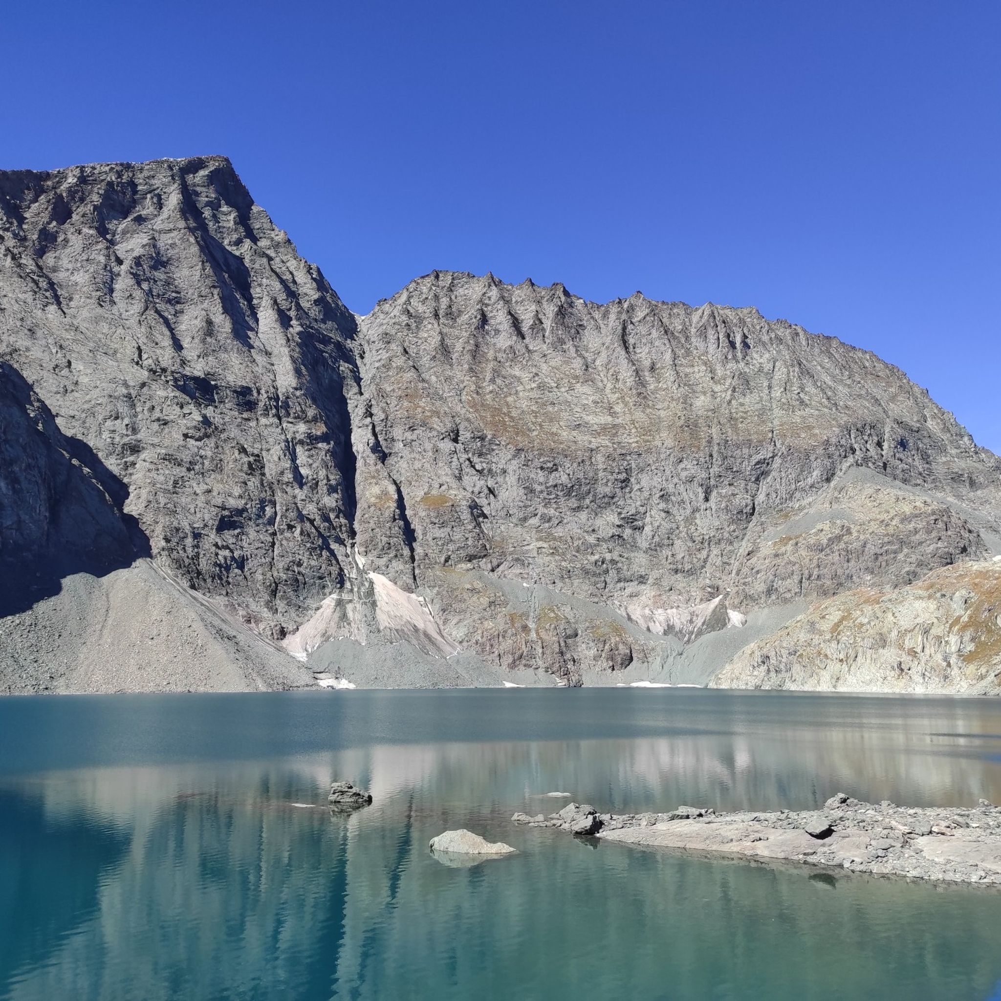
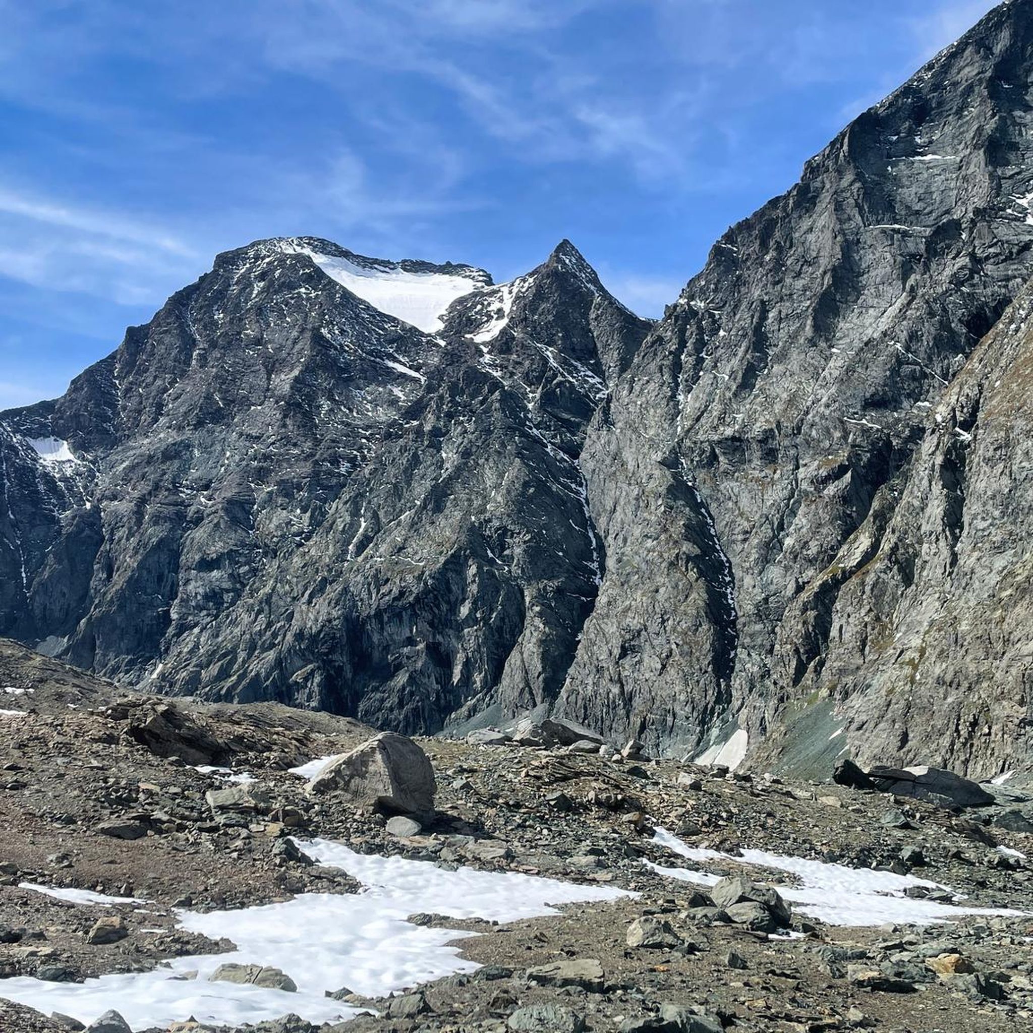
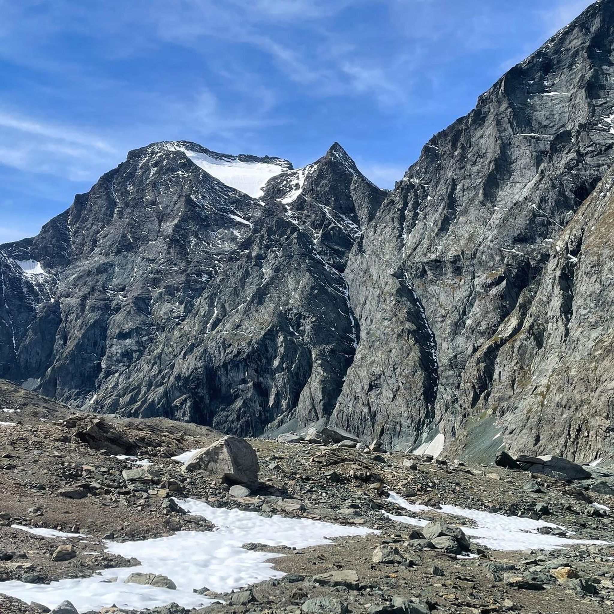
Mountaineering routes around Lake della Rossa are situated in Italy's Lanzo Valleys, within the Graian Alps, at an elevation of 2,718 meters. This region features diverse alpine terrain, including rocky paths, sustained ascents, and glacial lakes, with the imposing Croce Rossa Peak (3,566 meters) often reflected in the lake's waters. The area offers a variety of landscapes suitable for mountaineering, ranging from challenging high-altitude routes to paths requiring alpine experience.
Best mountaineering routes around Lake della Rossa
- The most popular…
Last updated: May 23, 2026
4.8
(5)
9
hikers
10.5km
06:36
1,130m
1,130m
Hard mountaineering route. Very good fitness required. Sure-footedness, sturdy shoes and alpine experience required.
5.0
(1)
2
hikers
14.2km
06:21
1,210m
1,210m
Hard mountaineering route. Very good fitness required. Mostly accessible paths. Sure-footedness required.

Sign up for free
5.0
(2)
13
hikers
3.32km
02:43
490m
490m
Hard mountaineering route. Good fitness required. Sure-footedness, sturdy shoes and alpine experience required.
5.0
(3)
10
hikers
9.74km
03:17
360m
360m
Moderate mountaineering route. Good fitness required. Mostly accessible paths. Sure-footedness required.
Our route recommendations are based on thousands of hikes, rides, and runs completed by other people on komoot.
Start today with a free account
Your next adventure awaits.
Login or Signup


Tips from the Community

Rif. Ciriè is in a charming location. The owners are friendly and the prices are still reasonable. Highly recommended!
0
0

Excellent pasta and polenta! Highly recommended for lunch at the refuge!
0
0
excellent lunch, the pasta and polenta are worth trying!
0
0
Excellent lunch, affordable price! The pasta and polenta are worth trying.
0
0

The refuge is located at the end of Pian della Mussa, easily reached on foot on a paved road in a couple of minutes from the last parking lot before the traffic ban. Those willing to hike another hour, along a trail that's steep in places, can reach the beautiful Piano Ciamarella, and it's also possible to take a circular hike.
0
0

You can barely see it in the photo, but the wooden footbridge has almost completely collapsed. To cross the river towards Ciamarella, you have to go forward about 10-15 meters. You can cross the river by walking over some rocky outcrops. The best spot is marked with cairns.
0
0

Continuing you arrive at the Refuge d'Averol
0
0

Damaged but passable (August 2024)
0
0
Frequently Asked Questions
What kind of terrain can I expect on mountaineering routes around Lake della Rossa?
The region around Lake della Rossa, situated in the Graian Alps, features diverse alpine terrain. You can expect a mix of rocky paths, sustained ascents, and glacial lakes. Many routes offer wide vistas, with the imposing Croce Rossa Peak often reflected in the lake's waters. The area is known for its challenging high-altitude routes, often requiring good fitness and alpine experience.
Are there any circular mountaineering routes available near Lake della Rossa?
Yes, there are several circular routes for mountaineering in the area. For instance, you could explore the challenging Collapsed Bridge – Uia di Ciamarella loop from Rifugio Bartolomeo Gastaldi, which covers about 10.5 km. Another option is the Equipped Mountain Trail loop from Roc Neir, a difficult 14 km path offering sustained ascents and wide vistas. For a shorter, yet still difficult, option, consider the Rocca Candelera loop from Usseglio.
What is the best time of year to go mountaineering around Lake della Rossa?
The best time to visit Lake della Rossa for mountaineering is generally from late spring to early autumn. During these months, trails are most accessible and free from heavy snow, making for safer and more enjoyable conditions. Even in summer, you might still see small ice accumulations on the lake, contributing to its unique 'frozen paradise' allure.
Are there any moderate mountaineering routes for those with less experience?
While many routes around Lake della Rossa are challenging, there are some moderate options available. For example, the Lago Paschiet (Snow-Covered) loop from Balme is a moderate 7.4 km route. Another moderate choice is the Averole Refuge – Cascade loop from parking des Vincendières, which is about 9.7 km long and features a waterfall.
What are some notable natural features or landmarks to look out for near Lake della Rossa?
Beyond the stunning Lake della Rossa itself, which is one of Europe's highest artificial lakes, you can admire the majestic Croce Rossa Peak (3,566 meters) reflecting in its waters. Near the lake, you'll find the Bivacco San Camillo, a small shelter, and a chapel dedicated to Saint Camillus. The broader region also features diverse alpine landscapes, including glacial lakes and, on some routes, picturesque waterfalls.
What do other mountaineers say about the routes in Lake della Rossa?
The mountaineering routes around Lake della Rossa are highly regarded by the komoot community, holding an impressive average rating of 4.95 stars from over 11 reviews. Mountaineers often praise the challenging terrain, the breathtaking alpine vistas, and the unique experience of exploring this high-altitude region.
Where are the common starting points for mountaineering routes to Lake della Rossa, and is parking available?
Common starting points for trails leading to Lake della Rossa include Usseglio, Pian della Mussa, and Pian Sulè. Parking is typically available at these trailheads, making it convenient for those arriving by car to begin their mountaineering adventures.
Are there any waterfalls along the mountaineering routes in the Lake della Rossa area?
Yes, some routes in the broader region offer views of waterfalls. For instance, the Averole Refuge – Cascade loop from parking des Vincendières specifically mentions a cascade. Additionally, the strenuous hike to Colle della Rossa in Gran Paradiso National Park, while not directly at Lake della Rossa, is noted for a picturesque waterfall along its path.
Can I find accommodation or places to eat near the mountaineering trails?
Yes, near Lake della Rossa, you can find the Bivacco San Camillo, which serves as a small shelter. In the broader Lanzo Valleys, particularly around starting points like Usseglio, you can find accommodation options and places to eat. For longer routes, such as those towards Colle della Rossa, alpine huts like Rifugio Vittorio Sella offer rest and refreshments.
Are there any specific permits required for mountaineering in the Lake della Rossa region?
The provided information does not specify any particular permits required for general mountaineering around Lake della Rossa. However, it is always advisable to check local regulations or with the relevant authorities, especially if you plan to venture into protected areas or undertake more technical climbs.
What is the highest peak visible or accessible from the Lake della Rossa area?
The most prominent peak in the immediate vicinity of Lake della Rossa is the Croce Rossa Peak, standing at 3,566 meters. Its imposing presence is often reflected in the lake's waters, offering a challenging objective for mountaineers and a stunning backdrop for the region.
Is there public transport available to reach the starting points for mountaineering routes?
While common starting points like Usseglio, Pian della Mussa, and Pian Sulè are mentioned, the availability of direct public transport to these specific trailheads for mountaineering is not detailed. It is recommended to research local bus services or private transfer options from larger towns in the Lanzo Valleys if you plan to rely on public transport.
Most popular routes around Lake della Rossa

Get inspired with the komoot mobile app


Explore more
Browse the best Mountain Hikes & Routes in other regions.
