The best running trails around Lake della Rossa
5.0
(2)
178
runners
6
runs
Jogging routes around Lake della Rossa traverse a high alpine environment, characterized by challenging mountain trails and scenic lake views. The region features numerous mountain refuges and offers demanding ascents and descents. Runners can expect to encounter rugged terrain and significant elevation changes, making it suitable for experienced trail runners.
Best jogging routes around Lake della Rossa
- The most popular jogging route is Rifugio Bartolomeo Gastaldi loop from Rifugio Città di Ciriè, a 5.4 miles (8.8 km) trail that…
Last updated: July 3, 2026
29
runners
Hard run. Very good fitness required. Sure-footedness, sturdy shoes and alpine experience required.
5.0
(1)
5
runners
18.5km
03:34
1,370m
1,360m
Hard run. Very good fitness required. Sure-footedness, sturdy shoes and alpine experience required.

Sign up for free
7
runners
10.5km
01:17
380m
380m
Hard run. Very good fitness required. Mostly paved surfaces. Suitable for all skill levels.
5.0
(1)
21
runners
10.7km
01:26
400m
390m
Hard run. Very good fitness required. Mostly paved surfaces. Suitable for all skill levels.
6
runners
17.5km
03:06
1,210m
1,210m
Hard run. Very good fitness required. Sure-footedness, sturdy shoes and alpine experience required.
Our route recommendations are based on thousands of hikes, rides, and runs completed by other people on komoot.
Start today with a free account
Your next adventure awaits.
Login or Signup
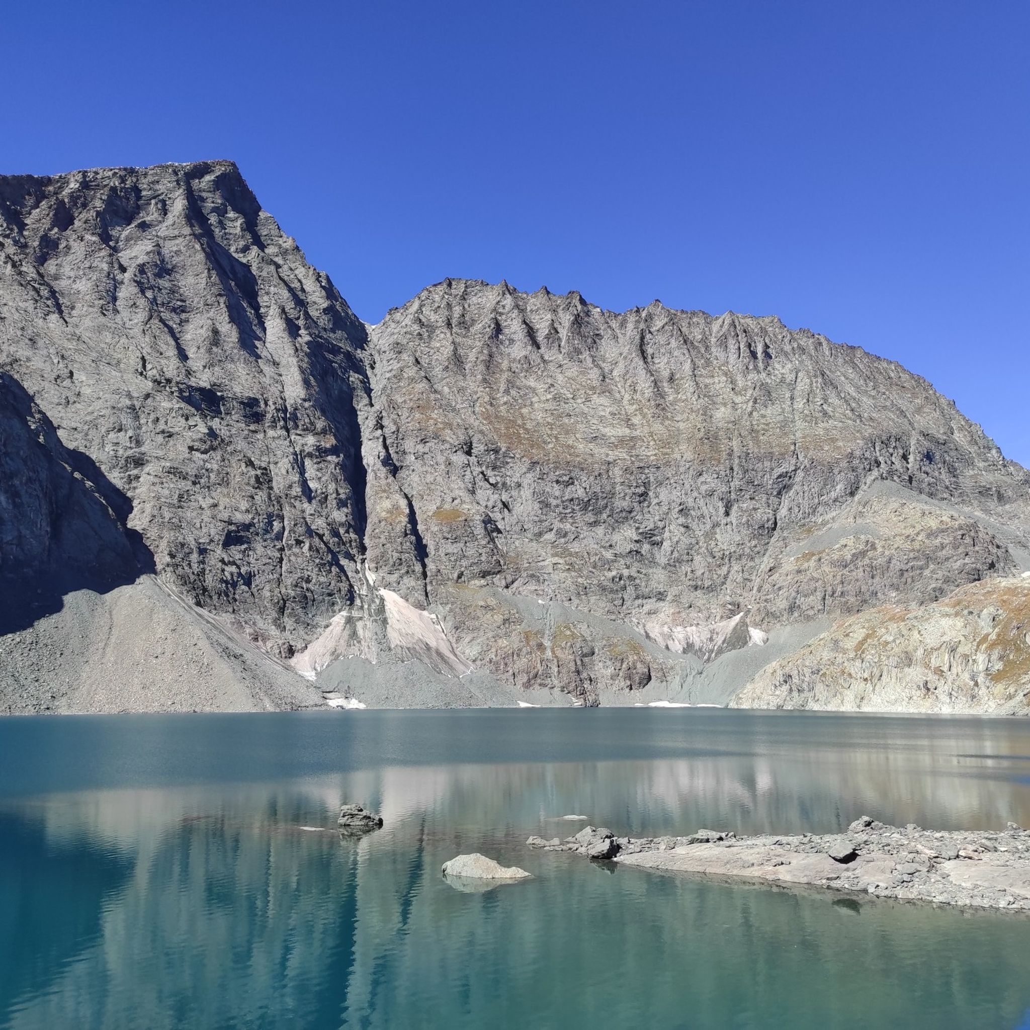
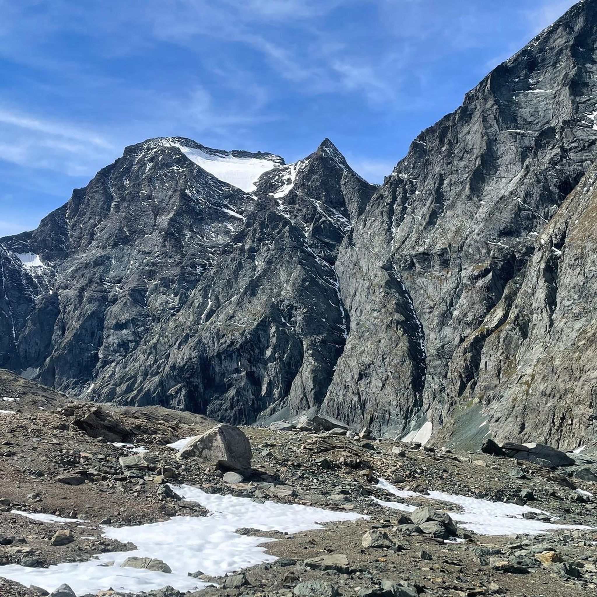


Tips from the Community

Rif. Ciriè is in a charming location. The owners are friendly and the prices are still reasonable. Highly recommended!
0
0

Excellent pasta and polenta! Highly recommended for lunch at the refuge!
0
0
excellent lunch, the pasta and polenta are worth trying!
0
0
Excellent lunch, affordable price! The pasta and polenta are worth trying.
0
0

From the Cibrario refuge to the pass: start of a well-maintained grassy path to the upper Peraciaval lake at 2800m (the path to the right of the refuge near the fountain; another path to the left leading to the lake is very difficult). After a climb on scree, not well-marked, with a very difficult central section. From 2850m to 2900m, the path turns left onto easy-to-proceed rock. At the pass, there is a sign indicating 2962m, but the actual elevation is 2900m. Further to the left, the grassy pass can be measured at approximately 2920m.
0
0

The refuge is located at the end of Pian della Mussa, easily reached on foot on a paved road in a couple of minutes from the last parking lot before the traffic ban. Those willing to hike another hour, along a trail that's steep in places, can reach the beautiful Piano Ciamarella, and it's also possible to take a circular hike.
0
0
A lake with a massive dam used for electricity generation. It can be reached from several points, the most convenient being via Dietro la Torre lake, starting from Pian Sulè (3 hours by road + 30 minutes on a trail).
0
0
A beautiful refuge in the Lanzo Valleys, which can be reached from Margone in 3 and a half hours, and can be a base for longer tours such as the Bessanese tour.
0
0
Frequently Asked Questions
Are there easy running routes around Lake della Rossa for beginners?
The running trails around Lake della Rossa are predominantly challenging, characterized by a high alpine environment, rugged terrain, and significant elevation changes. While there are no routes classified as 'easy' for jogging, there is one moderate route among the 12 available. Most trails are better suited for experienced trail runners.
What is the typical length and duration of running trails around Lake della Rossa?
The running routes around Lake della Rossa vary in length and duration. For instance, the Rifugio Bartolomeo Gastaldi loop from Rifugio Città di Ciriè is 5.4 miles (8.8 km) and takes about 1 hour 51 minutes. Longer routes, like the Lago di Peraciaval superiore – Lago dietro la Torre loop from Barmasse, stretch to 11.4 miles (18.3 km) and can take over 3.5 hours to complete, offering demanding ascents and descents.
Are there family-friendly running paths suitable for jogging around Lake della Rossa?
Given the high alpine, challenging nature of most routes around Lake della Rossa, dedicated family-friendly jogging paths are limited. The terrain often involves rugged trails and significant elevation, making it more suitable for experienced runners. For families, some of the less strenuous sections might be walkable, but full jogging with young children could be difficult.
Can I bring my dog on the running trails near Lake della Rossa?
Generally, dogs are permitted on trails in the high alpine environment around Lake della Rossa. However, it's crucial to keep your dog on a leash, especially in areas with livestock or protected wildlife. Always ensure your dog is well-behaved and that you carry waste bags to maintain the pristine natural environment.
What are some notable points of interest or landmarks along the running routes?
The running routes around Lake della Rossa are rich with natural beauty and alpine structures. You'll encounter several mountain refuges, such as Rifugio Bartolomeo Gastaldi and Rifugio Cibrario, which often serve as starting or turning points for loops. The trails also feature stunning high alpine lakes and expansive mountain scenery, offering breathtaking views throughout your run.
Are there circular running paths available around Lake della Rossa?
Yes, many of the running routes around Lake della Rossa are designed as circular paths, allowing you to start and finish at the same point. Examples include the Rifugio Bartolomeo Gastaldi loop from Rifugio Città di Ciriè and the Rifugio Cibrario loop from Margone, which offer varied terrain and scenic views.
What is the best season for running around Lake della Rossa?
The best season for running around Lake della Rossa is typically from late spring to early autumn (June to September). During these months, the snow has usually melted from the higher elevations, and the weather is more stable. Winter running is possible but requires specialized gear and awareness of avalanche risks, as many trails will be covered in snow and ice.
What should I wear for jogging in the Lake della Rossa region?
Given the high alpine environment, layering is key. Even in summer, weather can change rapidly. Wear moisture-wicking base layers, an insulating mid-layer, and a waterproof/windproof outer shell. Sturdy trail running shoes with good grip are essential for the rugged and often uneven terrain. Don't forget a hat, gloves, and sunglasses.
Are there any running routes that offer views of high alpine lakes?
Absolutely. The region is known for its scenic high alpine lakes. The Lago di Peraciaval superiore – Lago dietro la Torre loop from Barmasse is a prime example, featuring stunning views of multiple high alpine lakes and expansive mountain scenery, making it a favorite among local runners.
What do other runners enjoy most about jogging in Lake della Rossa?
The running routes around Lake della Rossa are highly rated by the komoot community, with an average score of 4.5 stars. Runners frequently praise the challenging mountain trails, the breathtaking high alpine scenery, and the rewarding experience of reaching mountain refuges. The rugged terrain and significant elevation changes are often highlighted as key attractions for experienced trail runners.
How many running routes are available in the Lake della Rossa area?
There are 12 running routes available in the Lake della Rossa area. These routes primarily consist of difficult trails, with one moderate option, catering mostly to experienced trail runners seeking challenging high alpine adventures.
Most popular routes around Lake della Rossa

Get inspired with the komoot mobile app


Explore more
Browse the best Running Trails & Routes in other regions.
