The best mountain hikes around Sasso Tignoso e Monte Cantiere
4.6
(9)
66
hikers
5
hikes
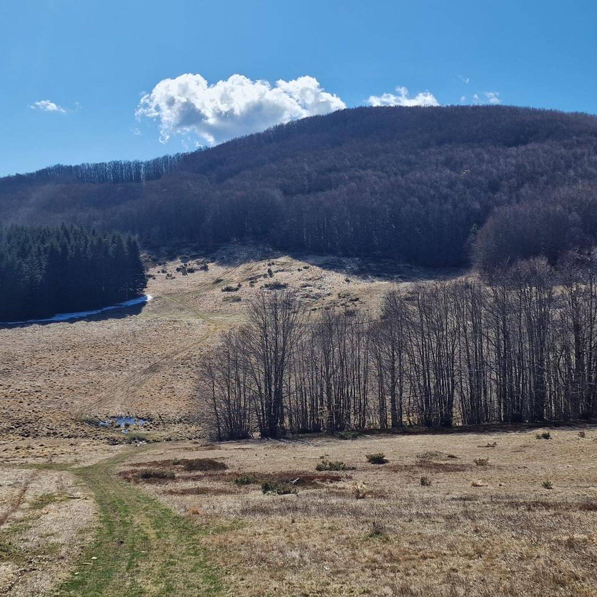
Mountaineering routes around Sasso Tignoso e Monte Cantiere traverse a diverse landscape within the Apennine mountain range, offering varied terrain for outdoor enthusiasts. The region is characterized by rugged peaks, dense forests, and notable natural features such as cascades and streams. Many routes involve rocky ascents and exposed sections, requiring sure-footedness and alpine experience. This area provides opportunities for challenging expeditions amidst the natural beauty of the Modena Apennines.
Best mountaineering routes around Sasso Tignoso e Monte Cantiere
- The most popular mountaineering route is Monte Penna Via Ferrata loop from Civago, a 2.8 miles (4.4 km) trail that takes 2 hours 27 minutes to complete. This difficult route features challenging ascents and panoramic views.
- Another top favourite among local mountaineers is Altaretto – Monte Giovo loop from Lago Santo modenese, a difficult 5.7 miles (9.2 km) path. This route offers varied terrain through mountainous landscapes and takes approximately 4 hours 3 minutes.
- Local mountaineers also love the San Leonardo al Dolo Refuge loop from Civago, an 8.4 miles (13.4 km) trail leading through high mountain terrain, often completed in about 5 hours 15 minutes.
- Mountaineering around Sasso Tignoso e Monte Cantiere is defined by rugged peaks, dense woodlands, and alpine conditions. The network offers options for different ability levels, from moderate climbs to difficult routes requiring alpine experience.
- The routes in Sasso Tignoso e Monte Cantiere are highly rated by the komoot community with an average score of 4.8 stars from over 9 reviews. More than 70 mountaineers have used komoot to explore Sasso Tignoso e Monte Cantiere's varied terrain.
Last updated: July 5, 2026
5.0
(4)
31
hikers
6.49km
03:30
540m
540m
Hard mountaineering route. Good fitness required. Sure-footedness, sturdy shoes and alpine experience required.
4.3
(3)
15
hikers
Hard mountaineering route. Good fitness required. Sure-footedness, sturdy shoes and alpine experience required.

Sign up for free
6
hikers
12.8km
04:54
740m
750m
Moderate mountaineering route. Good fitness required. Mostly accessible paths. Sure-footedness required.
5.0
(1)
3
hikers
11.7km
04:39
760m
760m
Moderate mountaineering route. Good fitness required. Mostly accessible paths. Sure-footedness required.
4.0
(1)
4
hikers
10.8km
04:21
550m
550m
Hard mountaineering route. Good fitness required. Sure-footedness, sturdy shoes and alpine experience required.
Our route recommendations are based on thousands of hikes, rides, and runs completed by other people on komoot.
Start today with a free account
Your next adventure awaits.
Login or Signup
Popular around Sasso Tignoso e Monte Cantiere

Tips from the Community

The Passo di Lama Lite is a very important mountain pass located at an altitude of 1,749 meters in the Alto Appennino Reggiano, on the border between Emilia-Romagna and Tuscany. It is located in the heart of the Tuscan-Emilian Apennine National Park. This pass serves as a fundamental watershed between the valley of the Dolo stream and the valley of the Ozola stream, positioned at the foot of the Monte Prado massif and offering a splendid view of Monte Cusna.
0
0

Make sure there is no strong wind
0
0

Easy to reach and convenient for starting your walk.
0
0
From the outside, it's a beautiful refuge. We couldn't see the inside because it was closed. It's easily accessible by parking in Case di Civago.
0
0
Large stone fountain with significant water flow (at least in January)
0
0

A refuge with renovated private rooms and excellent cuisine. It's an excellent starting point for various hikes in the area, and the management is very friendly. From the (paid) parking lot, it's about a 10-minute walk uphill to the refuge. The manager, Massimo, is a wonderful person; it's always a pleasure to return!
1
0

Excellent place to start a hike, with easy access to the trails. Plenty of parking spaces.
1
0
Frequently Asked Questions
What kind of terrain can I expect on mountaineering routes around Sasso Tignoso e Monte Cantiere?
The region offers a diverse landscape within the Apennine mountain range, characterized by rugged peaks, dense forests, and notable natural features like cascades and streams. Many routes involve rocky ascents and exposed sections, requiring sure-footedness and alpine experience. You'll find varied terrain through mountainous landscapes.
Are there any moderate mountaineering routes suitable for those with less alpine experience?
Yes, while many routes are challenging, there are options for different ability levels. For example, the Climb to Monte Cimone – Monte Cimone Summit loop from Doccia del Cimone is a moderate route covering 11.7 km, offering a great experience without the extreme demands of difficult climbs.
What are some of the longer, more challenging mountaineering expeditions in the area?
For those seeking a significant challenge, the San Leonardo al Dolo Refuge loop from Civago is an excellent choice. This difficult 13.4 km trail leads through high mountain terrain and typically takes around 5 hours 15 minutes to complete. Another demanding option is the Lago il Terzo – Lago della Ninfa loop from Parcheggio Camper, a difficult 11.9 km route.
Are there any circular mountaineering routes available?
Yes, many of the mountaineering routes in Sasso Tignoso e Monte Cantiere are designed as loops. Examples include the challenging Monte Penna Via Ferrata loop from Civago and the Altaretto – Monte Giovo loop from Lago Santo modenese.
What kind of natural features or landmarks can I expect to see along the routes?
The region is known for its natural beauty, including eye-catching cascades and serene streams. Along the routes, you might encounter significant points like Passo Cento Croci, the summit of Mount Cantiere, and the Capanno Guerri hut. There's also a Shaded Section of Via Vandelli near Sasso Tignoso offering historical interest.
What do other mountaineers say about the routes in Sasso Tignoso e Monte Cantiere?
The routes in Sasso Tignoso e Monte Cantiere are highly rated by the komoot community, with an average score of 4.8 stars from over 9 reviews. Mountaineers often praise the varied terrain and the challenging nature of the expeditions amidst the natural beauty of the Modena Apennines.
What is the best time of year for mountaineering in this region?
Given the presence of rocky ascents and exposed sections, the warmer months from late spring to early autumn are generally ideal for mountaineering. This period typically offers more stable weather conditions and less chance of snow or ice, which can make routes significantly more challenging and require specialized gear.
Are there any specific considerations for sure-footedness or equipment on these trails?
Yes, many routes, especially the difficult ones, require very good fitness, sure-footedness, sturdy shoes, and alpine experience. Some routes may involve exposed sections, so appropriate gear and preparation are essential for safety and enjoyment.
How many mountaineering routes are available in Sasso Tignoso e Monte Cantiere?
There are currently 6 mountaineering routes documented in this guide for Sasso Tignoso e Monte Cantiere, offering a range of experiences from moderate to difficult.
Are there any huts or shelters along the mountaineering routes?
Yes, you may find huts such as Capanno Guerri and the Celtic Hut at Passo Centocroci, which can serve as points of interest or potential shelters during your mountaineering adventures.
What is the typical duration for mountaineering routes in this area?
The duration of routes varies significantly based on distance and difficulty. For example, a difficult route like the Monte Penna Via Ferrata loop from Civago can take around 2 hours 27 minutes, while longer, more challenging expeditions such as the San Leonardo al Dolo Refuge loop from Civago can extend to over 5 hours.
Most popular routes around Sasso Tignoso e Monte Cantiere
Most popular attractions around Sasso Tignoso e Monte Cantiere

Get inspired with the komoot mobile app


Explore more
Browse the best Mountain Hikes & Routes in other regions.
