The best running trails around Sasso Tignoso e Monte Cantiere
4.8
(10)
616
runners
58
runs
Jogging routes around Sasso Tignoso e Monte Cantiere traverse a landscape characterized by distinctive volcanic rock formations, dense beech forests, and high panoramic peaks. The region offers varied terrain, from serene pastures to more challenging ascents. It is situated on the watershed between the Scoltenna and Dragone torrents, featuring diverse flora and juniper fields.
Best jogging routes around Sasso Tignoso e Monte Cantiere
- The most popular jogging route is WS24 Towards Frateria loop from Fabbrica, a 6.5 miles (10.4…
Last updated: May 18, 2026
10
runners
10.5km
01:08
180m
180m
Moderate run. Good fitness required. Mostly paved surfaces. Suitable for all skill levels.
5
runners
12.8km
01:42
460m
460m
Hard run. Very good fitness required. Mostly accessible paths. Some sure footedness required.

Sign up for free
5
runners
11.3km
01:33
470m
470m
Hard run. Very good fitness required. Mostly accessible paths. Some sure footedness required.
22
runners
7.44km
00:57
280m
280m
Hard run. Good fitness required. Sure-footedness, sturdy shoes and alpine experience required.
6
runners
24.3km
03:37
1,060m
1,060m
Hard run. Very good fitness required. Sure-footedness, sturdy shoes and alpine experience required.
Get access to more routes and recommendations from other explorers.
Sign up for free
Already have an account?
Our route recommendations are based on thousands of hikes, rides, and runs completed by other people on komoot.
Start today with a free account
Your next adventure awaits.
Login or Signup
Popular around Sasso Tignoso e Monte Cantiere


Tips from the Community


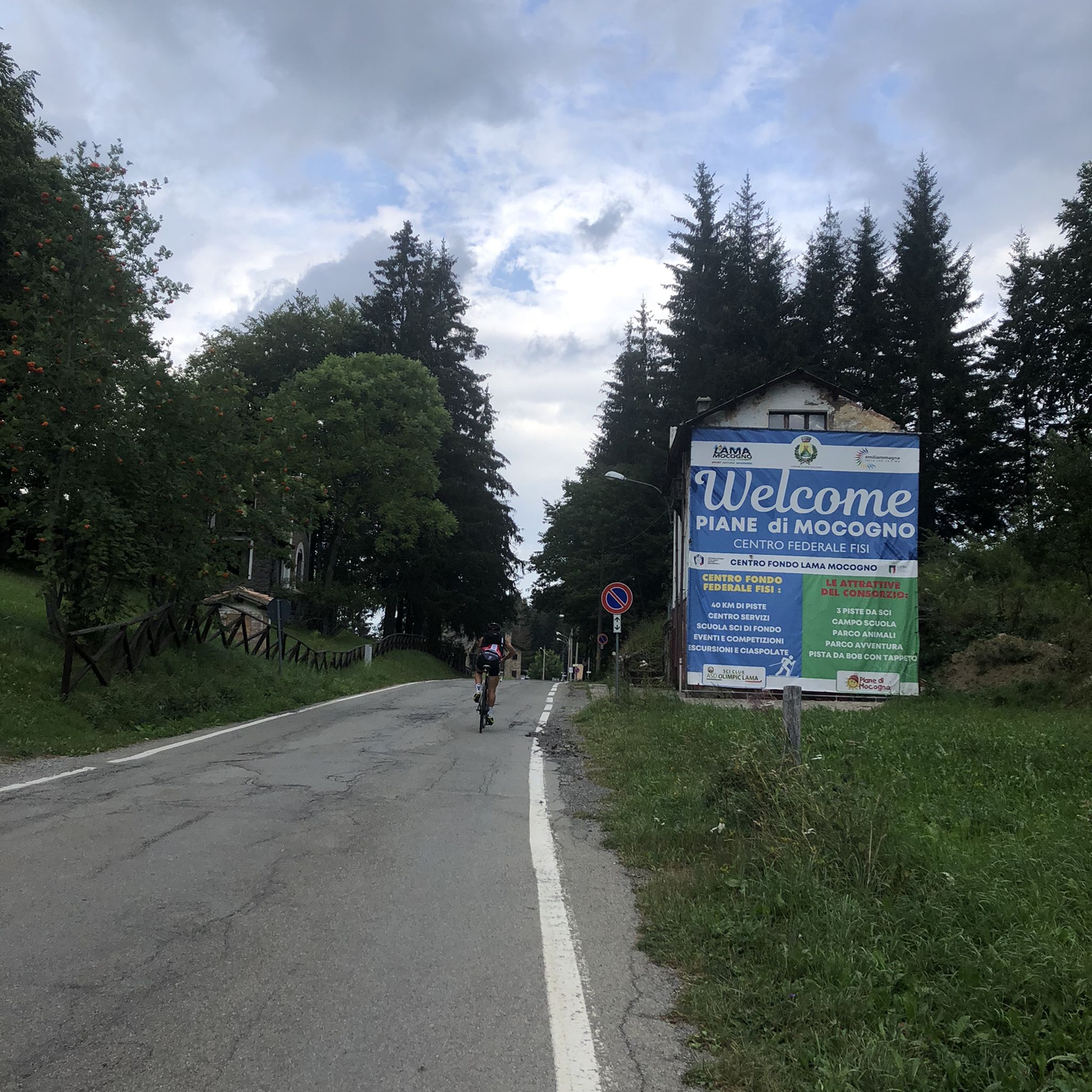
The Piane di Mocogno are one of the most popular plateaus in the Modena Apennines, surrounded by woods and wide open spaces. In winter, they host ski slopes and cross-country skiing trails, while in summer they become a starting point for hiking, trekking, and mountain biking thanks to a network of marked trails. The area offers tourist services and several dining options, including La Baita del Duca, Ristorante Mazzieri, and Pizzeria Grizzly.
0
0
We are on Via Vandelli towards Cento Croci, on the right this path starts which connects to the valley on the Abetone state road, first crossing the village of FRATERIA
0
0

A refuge with renovated private rooms and excellent cuisine. It's an excellent starting point for various hikes in the area, and the management is very friendly. From the (paid) parking lot, it's about a 10-minute walk uphill to the refuge. The manager, Massimo, is a wonderful person; it's always a pleasure to return!
1
0
path leading to the burned hill
0
0
Passo Boccaia 1574 meters, crossroads of paths, arriving from Passo Eolo on the left you go down to Lago Santo, on the right you go down into the valley below Colle Bruciata continuing straight you start the climb (be careful very long and tiring) that leads to the summit of Monte Giovo at 1991 meters
0
0
at an altitude of 1305 metres from this crossroads continuing on via Vandelli you keep to the main road, going to the right you reach the hollow lake and then the highest part that connects all the peaks
0
0

Here you cross the pass and the Hannibal Meadows begin
0
0
Frequently Asked Questions
How many running routes are available in Sasso Tignoso e Monte Cantiere?
There are over 40 dedicated running routes in the Sasso Tignoso e Monte Cantiere region. These include a mix of moderate and difficult trails, offering options for various fitness levels.
What kind of terrain can I expect on the jogging routes?
The terrain around Sasso Tignoso e Monte Cantiere is quite diverse. You'll find paths traversing serene beech forests and pastures, as well as more challenging ascents over distinctive volcanic rock formations. Many routes offer panoramic views from high peaks.
Are there any family-friendly running trails in the area?
While many routes offer significant elevation, the region does have trails suitable for varying skill levels. For easier options, look for paths described as 'easily-accessible' or those with shorter distances and less elevation gain, often found around areas like Piane di Mocogno. Always check the route details for specific difficulty ratings.
Can I bring my dog on the running routes?
Yes, many trails in the Sasso Tignoso e Monte Cantiere area are dog-friendly. However, it's always recommended to keep your dog on a leash, especially in protected areas or near wildlife, and to check specific route regulations before you go.
Are there any circular running routes?
Yes, the region features several excellent circular running routes. For example, the WS24 Towards Frateria loop from Fabbrica is a moderate 10.4 km option, and the more challenging Monte Cantiere Summit loop from Piane di Mocogno offers a 7.4 km run with panoramic views.
What are some notable landmarks or viewpoints I can see while running?
The region is rich in natural beauty and viewpoints. You can enjoy breathtaking 360-degree panoramic views from Sasso Tignoso, encompassing the Apennine ridge and Monte Cimone. From Mount Cantiere, you'll see expansive vistas of Monte Cimone and the Scoltenna torrent valley. Other points of interest include Passo Cento Croci and Capanno Guerri.
Are there any routes that pass by waterfalls?
Yes, the broader Sasso Tignoso e Monte Cantiere area includes routes that feature waterfalls. The 'Sentiero delle Cascate' (Six Waterfalls Trail) is a notable option for those looking to incorporate waterfall views into their run.
Where can I find parking near the trailheads?
Piane di Mocogno is a popular starting point for many excursions to Monte Cantiere and offers parking facilities. Other trailheads often have designated parking areas, but it's advisable to check specific route details or local signage for the most convenient spots.
What do other runners say about the trails in Sasso Tignoso e Monte Cantiere?
The running routes in Sasso Tignoso e Monte Cantiere are highly rated by the komoot community, with an average score of 4.7 stars from over 10 reviews. Runners often praise the stunning natural scenery, the variety of terrain, and the well-established trail networks that cater to different fitness levels.
Are there any challenging long-distance running options?
Absolutely. For experienced runners seeking a challenge, routes like the Boccaia Pass – Lago Santo Modenese loop from Sant'Annapelago (24.3 km) or the Monte Giovo summit (1,991 m) – Lago Santo loop from Sant'Annapelago (27.1 km) offer significant distances and elevation gains through varied and scenic landscapes.
What is the best time of year for running in this region?
The region offers appeal across seasons. Spring and autumn provide pleasant temperatures and vibrant natural colors, ideal for running. Summer is also popular, especially for higher altitude trails, though it's wise to start early to avoid the midday heat. Winter running is possible but may require appropriate gear for snow and ice, especially on higher peaks.
Most popular routes around Sasso Tignoso e Monte Cantiere
Most popular attractions around Sasso Tignoso e Monte Cantiere

Get inspired with the komoot mobile app


Explore more
Browse the best Running Trails & Routes in other regions.
