The best gravel rides around Sasso Tignoso e Monte Cantiere
3.7
(3)
49
riders
4
rides
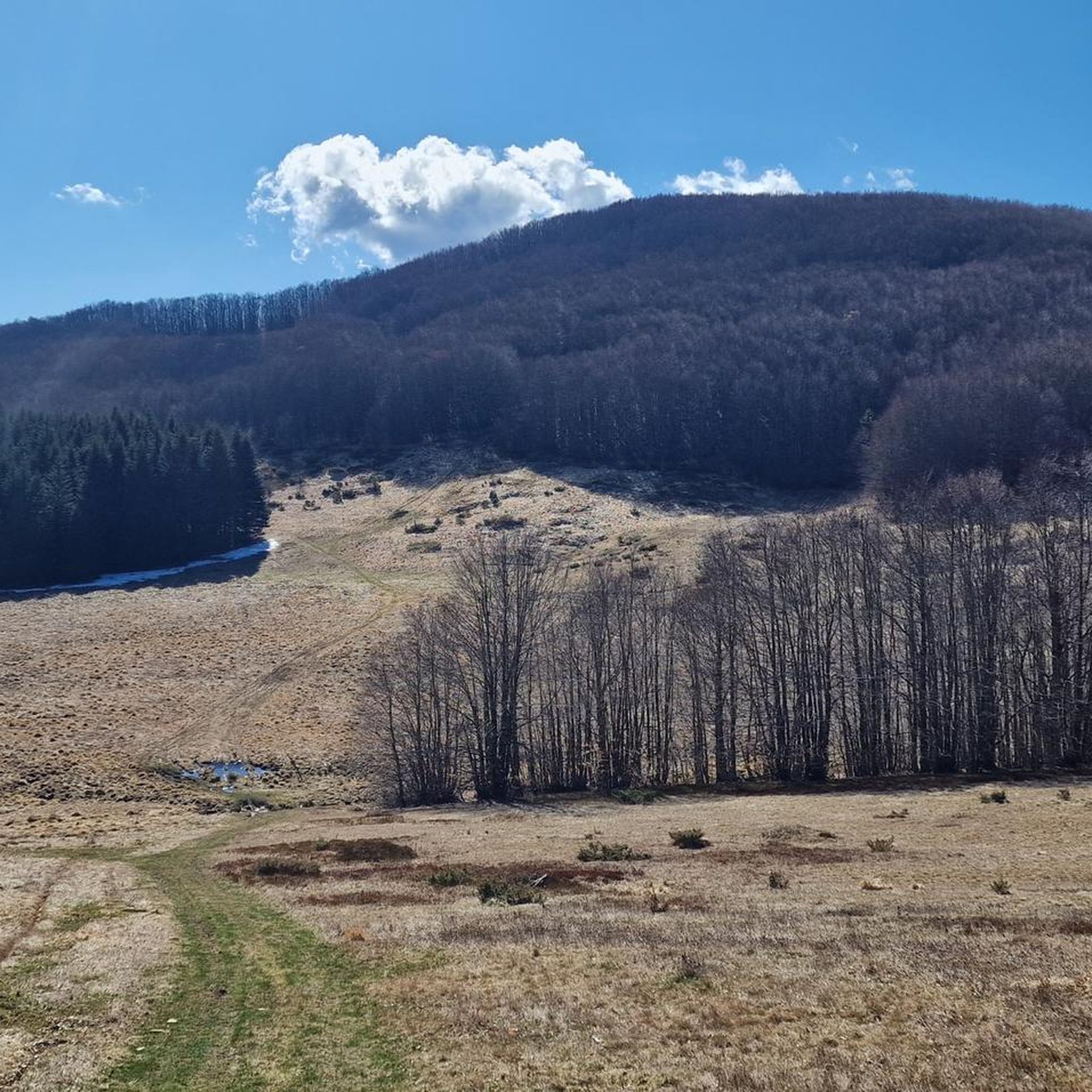
Gravel biking around Sasso Tignoso e Monte Cantiere offers routes through the Apennine Mountains of Italy's Emilia-Romagna region. This area features a network of unpaved roads and tracks, including sections of the historic Via Vandelli. Sasso Tignoso is an ophiolitic peak at 1492 meters, providing panoramic views, while Monte Cantiere, at 1617 meters, is the highest point in the Lama Mocogno territory, characterized by beech, fir, and pine forests. The terrain includes varied surfaces, from "strade bianche" to stony sections,…
Last updated: July 6, 2026
3.0
(1)
5
riders
42.1km
03:18
1,040m
1,040m
Hard gravel ride. Very good fitness required. Mostly paved surfaces. Suitable for all skill levels.
2
riders
58.3km
04:33
1,510m
1,510m
Hard gravel ride. Very good fitness required. Mostly paved surfaces. Suitable for all skill levels.

Sign up for free
13
riders
58.7km
04:24
1,410m
1,410m
Hard gravel ride. Very good fitness required. Mostly paved surfaces. Suitable for all skill levels.
5.0
(1)
6
riders
31.3km
02:43
900m
900m
Hard gravel ride. Very good fitness required. Mostly paved surfaces. Suitable for all skill levels.
10
riders
76.5km
06:54
2,800m
2,800m
Hard gravel ride. Very good fitness required. You may need to push your bike for some segments of this route.
Our route recommendations are based on thousands of hikes, rides, and runs completed by other people on komoot.
Start today with a free account
Your next adventure awaits.
Login or Signup
Popular around Sasso Tignoso e Monte Cantiere
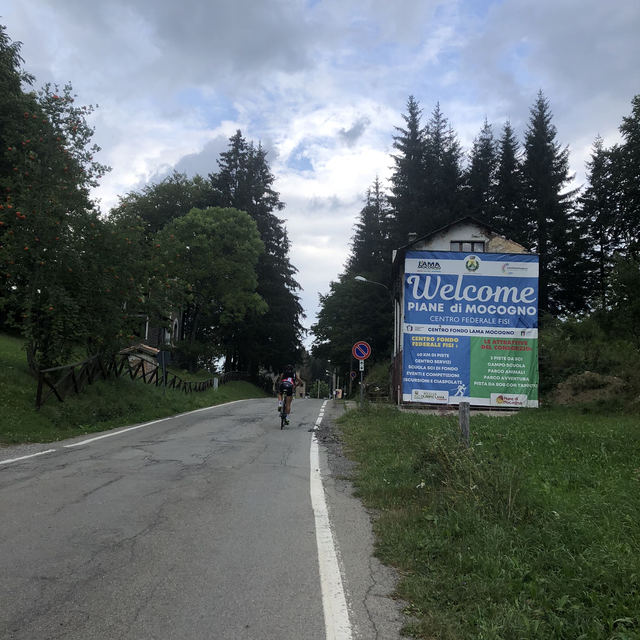
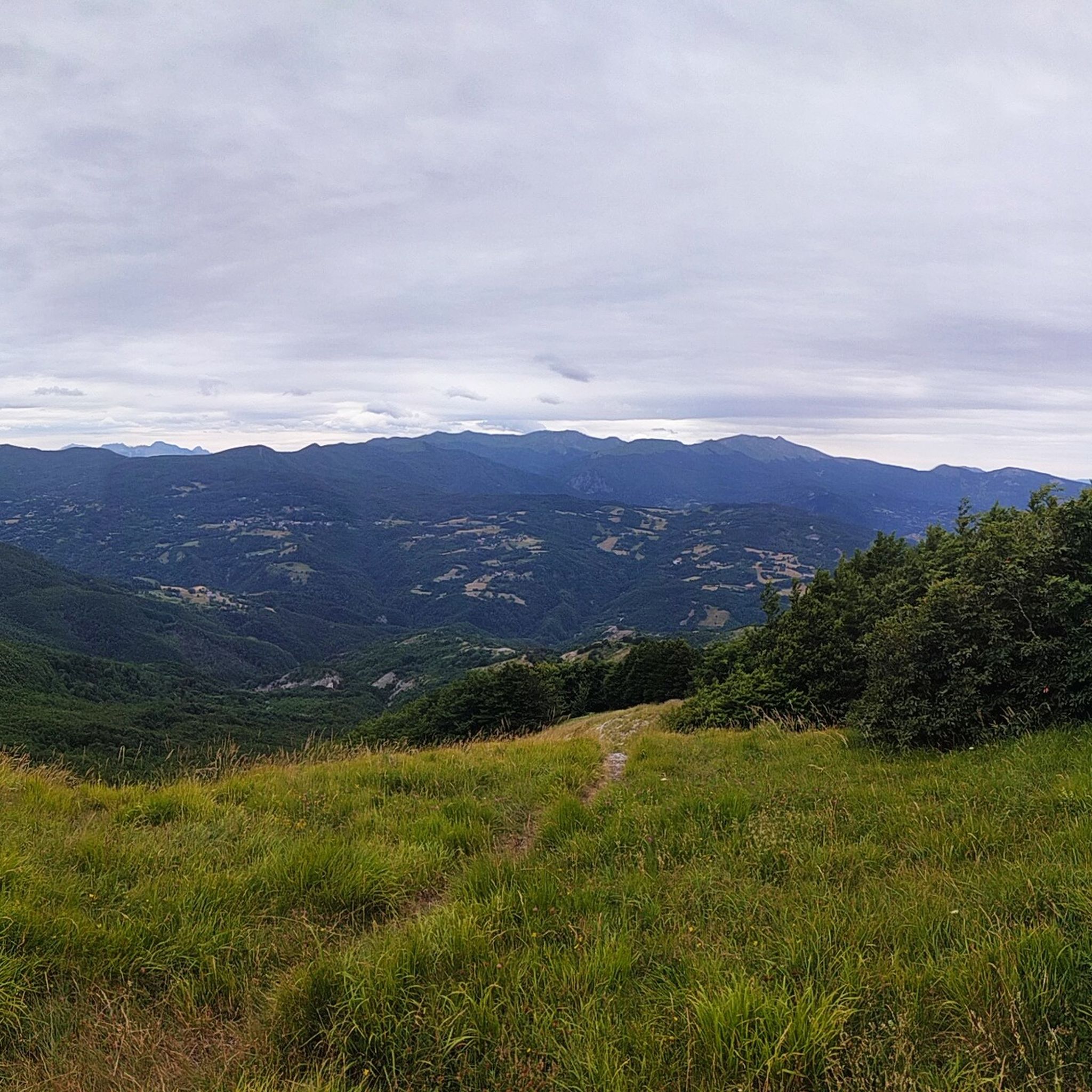
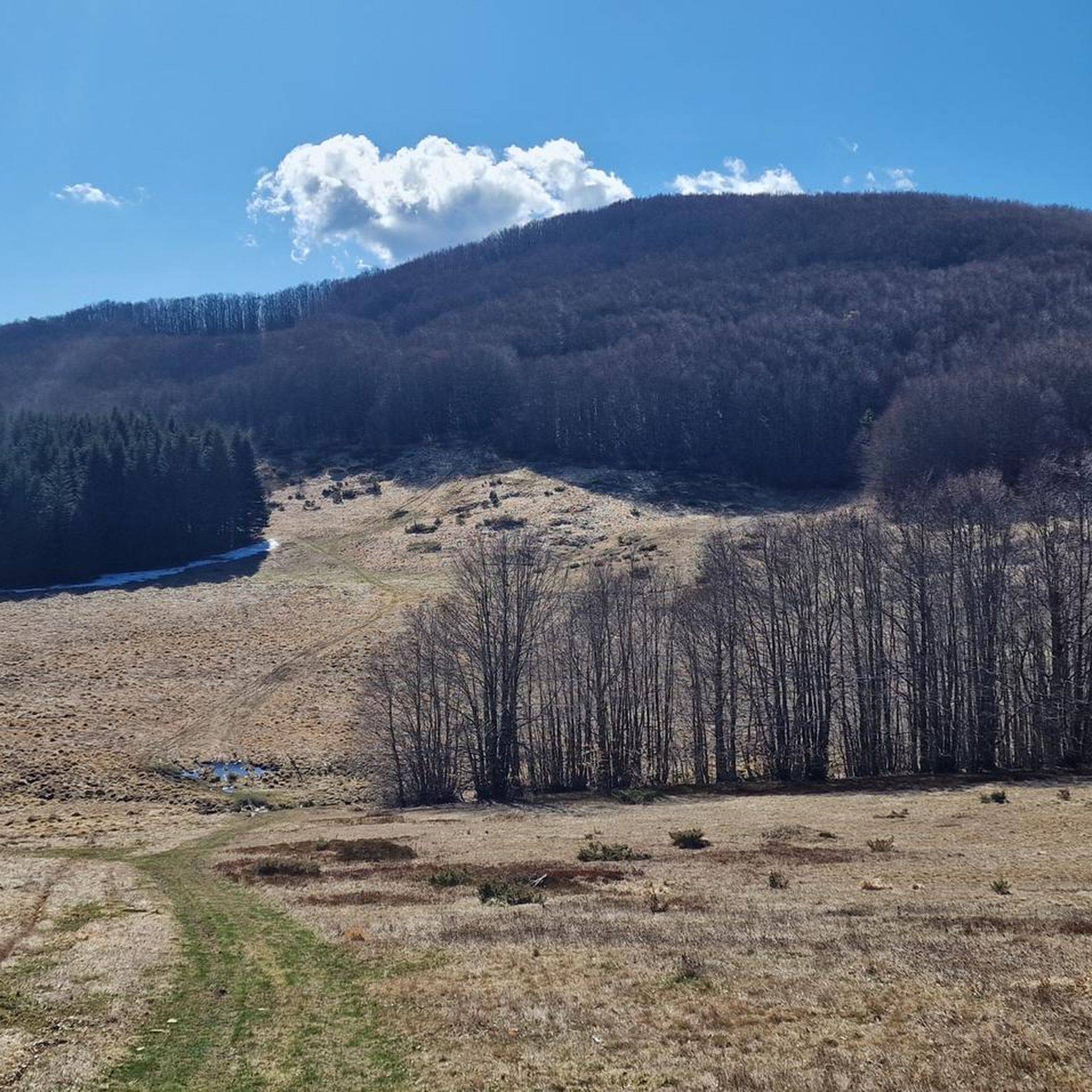
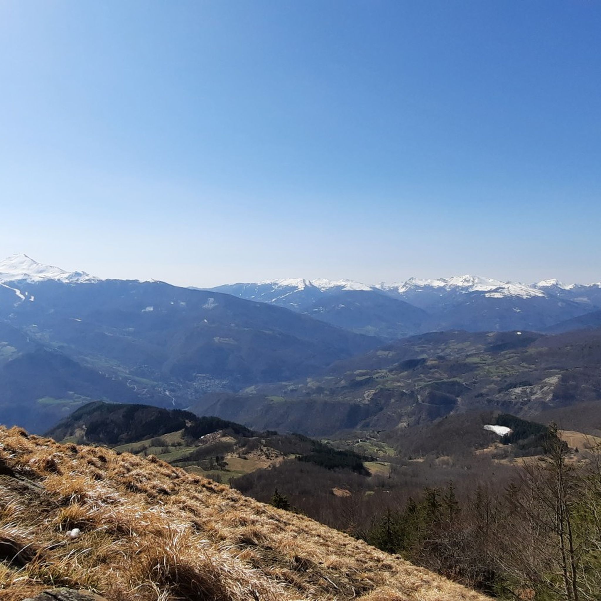

Tips from the Community

Gothic Line Tuscan-Emilian Watershed
0
0

The Rifugio Bargetana is an alpine structure located at 1,740 meters above sea level in the upper Val d'Ozola, in the heart of the Tuscan-Emilian Apennine National Park at the foot of Monte Prado. It is family-run and is about a 15-minute walk from the homonymous glacial lake of Bargetana.
0
0
The Passo di Lama Lite is a very important mountain pass located at an altitude of 1,749 meters in the Alto Appennino Reggiano, on the border between Emilia-Romagna and Tuscany. It is located in the heart of the Tuscan-Emilian Apennine National Park. This pass serves as a fundamental watershed between the valley of the Dolo stream and the valley of the Ozola stream, positioned at the foot of the Monte Prado massif and offering a splendid view of Monte Cusna.
0
0

From whichever side, a very beautiful, lonely ascent or descent. However, it is quite neglected due to the abandoned hotel ruin, at least as of May 2026.
1
0

Excellent refuge, the owners are kind and welcoming. We ate very well, but slept a little less, but only because the dormitory was crowded. Bring earplugs if necessary. ;)
1
0


Like the mountain refuges in this area, the Bargetana is an excellent place to stop for a drink or something to eat.
1
0
Lama Lite is a well-known mountain pass. Just looking at it on the map is enough to understand its importance. I have passed through it dozens of times but I can never avoid stopping to take a picture.
2
0
Frequently Asked Questions
How many gravel bike trails are available in the Sasso Tignoso e Monte Cantiere region?
The Sasso Tignoso e Monte Cantiere area offers several challenging gravel bike routes. Our guide features 4 distinct tours, all rated as difficult, providing a rewarding experience for experienced gravel bikers.
What kind of terrain can I expect on gravel bike trails in this region?
The terrain around Sasso Tignoso and Monte Cantiere is diverse, featuring 'strade bianche' (white roads), ancient mule tracks, and unpaved segments. You'll encounter varied surfaces, including loose or stony sections, with significant elevation changes. The region is known for its volcanic peaks and dense beech forests, offering a mix of challenging climbs and scenic passages.
Are there any beginner-friendly gravel routes around Sasso Tignoso e Monte Cantiere?
The gravel bike routes listed in this guide for Sasso Tignoso e Monte Cantiere are generally rated as difficult, featuring substantial elevation gains and varied terrain. While the area offers a network of trails, those highlighted here are best suited for experienced gravel bikers looking for a challenge. For easier options, you might need to explore more localized, less technical country roads within the broader Apennino Tosco-Emiliano National Park.
What are the best times of year for gravel biking in the Apennines around Sasso Tignoso and Monte Cantiere?
The best time for gravel biking in this Apennine region is typically from late spring through early autumn (May to October). During these months, the weather is generally more stable, and trails are clear of snow. Winter conditions can be challenging, especially at higher elevations, with snow and ice making many routes impassable or requiring specialized equipment.
Are there scenic viewpoints along the gravel bike trails?
Yes, the region is renowned for its panoramic views. Sasso Tignoso, an ophiolitic peak, offers breathtaking 360-degree vistas, encompassing Monte Cimone and Monte Cusna, and even the Alps on clear days. Monte Cantiere also provides spectacular views over Monte Cimone and the extensive Apennine ridges. You can find excellent views from Mount Cantiere itself, and routes like the View of Rocca di Sestola – Lake of the Nymph loop from Sestola are designed to showcase the stunning landscapes.
What historical sites or natural attractions can I see along the gravel bike routes?
Many routes incorporate historical elements, such as sections of the ancient Via Vandelli, a historic trans-Apennine road. The unique dark, magmatic rocks of Sasso Tignoso itself are a geological marvel. You can also visit highlights like Passo Cento Croci or the Celtic Hut at Passo Centocroci. The Shaded Section of Via Vandelli near Sasso Tignoso offers a glimpse into the historic path.
Are there circular gravel bike routes in the Sasso Tignoso e Monte Cantiere area?
Yes, many of the gravel bike trails in this region are designed as loops, allowing you to start and end at the same point. Examples include the Via Vandelli Forest Trail – Junction of the Celtic Hut loop from Roccapelago, the Celtic Hut at Passo Centocroci – Radici Pass loop from Palagano, and the Lama Lite Pass – Cesare Battisti Hut loop from Civago.
What do other gravel bikers enjoy most about gravel biking in Sasso Tignoso e Monte Cantiere?
The area is highly rated by the komoot community, with an average score of 4.0 stars from 4 reviews. Reviewers often praise the challenging climbs, the diverse terrain including historic unpaved roads, and the stunning panoramic views from peaks like Sasso Tignoso and Monte Cantiere. The immersion in dense beech forests and the sense of adventure on these Apennine trails are also frequently highlighted.
Is it possible to access the gravel trails using public transport?
While some towns in the Apennino Tosco-Emiliano National Park may have limited public transport connections, direct access to many trailheads around Sasso Tignoso and Monte Cantiere can be challenging without a car. It's advisable to research local bus services to specific starting points like Piane di Mocogno or Civago, but be prepared for potential transfers and limited schedules, especially on weekends.
Where can I park my car when gravel biking in this region?
Parking is generally available in the villages and towns that serve as starting points for these routes, such as Roccapelago, Palagano, Civago, or Casone di Profecchia. Look for designated parking areas or inquire locally upon arrival. Some trailheads might have smaller, informal parking spots, but these can fill up quickly during peak season.
Are there any cafes or restaurants near the gravel bike routes for refreshments?
Yes, the Apennine region has charming villages where you can find cafes, bars, and restaurants. Towns like Fanano, Fiumalbo, or even smaller hamlets near the trailheads often offer places to refuel with local specialties, coffee, or a refreshing drink. It's a good idea to plan your route to pass through or near these villages for convenient breaks.
Are the gravel bike trails in Sasso Tignoso e Monte Cantiere suitable for families?
The gravel bike trails highlighted in this guide are generally rated as difficult due to significant elevation changes and varied, sometimes stony, terrain. They are best suited for experienced gravel bikers. For families with children or those seeking a more relaxed ride, it would be better to look for easier, mostly paved country roads or dedicated cycling paths in the broader Apennino Tosco-Emiliano National Park, rather than the challenging routes around Sasso Tignoso and Monte Cantiere.
Most popular routes around Sasso Tignoso e Monte Cantiere
Most popular attractions around Sasso Tignoso e Monte Cantiere

Get inspired with the komoot mobile app


Explore more
Browse the best Gravel rides in other regions.
