The best mountain hikes around Mercus-Garrabet
5.0
(2)
14
hikers
4
hikes
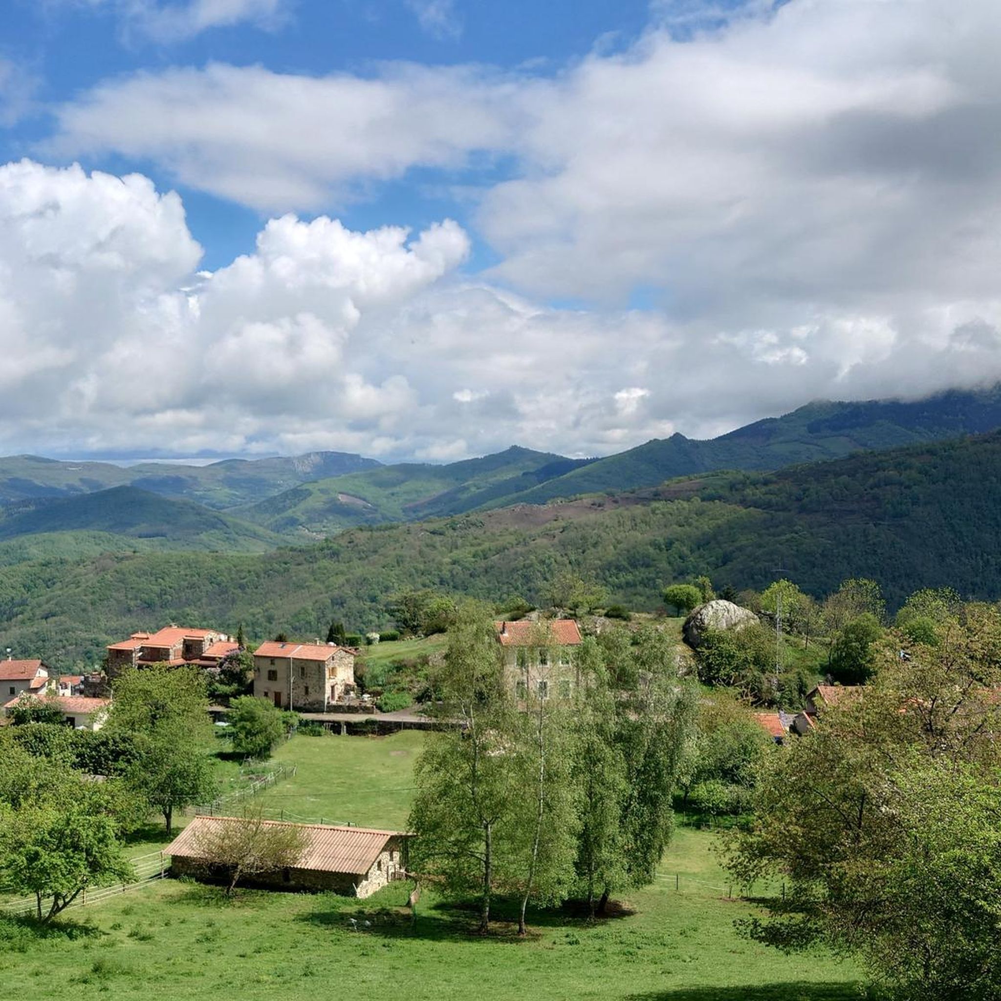
Mountaineering routes around Mercus-Garrabet are situated in the mountainous Ariège Pyrenees, featuring prominent peaks and deep valleys. The region is characterized by extensive natural environments, with forests covering 50% of the land and the Ariège river winding through its valley. This diverse landscape provides varied terrains suitable for challenging elevation-based activities.
Best mountaineering routes around Mercus-Garrabet
- The most popular mountaineering route is Étang d'Artax – Roc de Querquéou loop from Gourbit, a 7.5 miles (12.1 km) trail that takes…
Last updated: May 17, 2026
7
hikers
11.0km
05:32
900m
910m
Hard mountaineering route. Very good fitness required. Sure-footedness, sturdy shoes and alpine experience required.
2
hikers
Moderate mountaineering route. Good fitness required. Easily-accessible paths. Suitable for all skill levels.

Sign up for free
5.0
(1)
4
hikers
12.5km
05:42
940m
940m
Hard mountaineering route. Very good fitness required. Sure-footedness, sturdy shoes and alpine experience required.
5.0
(1)
1
hikers
Moderate mountaineering route. Good fitness required. Mostly accessible paths. Sure-footedness required.
Our route recommendations are based on thousands of hikes, rides, and runs completed by other people on komoot.
Start today with a free account
Your next adventure awaits.
Login or Signup

Tips from the Community

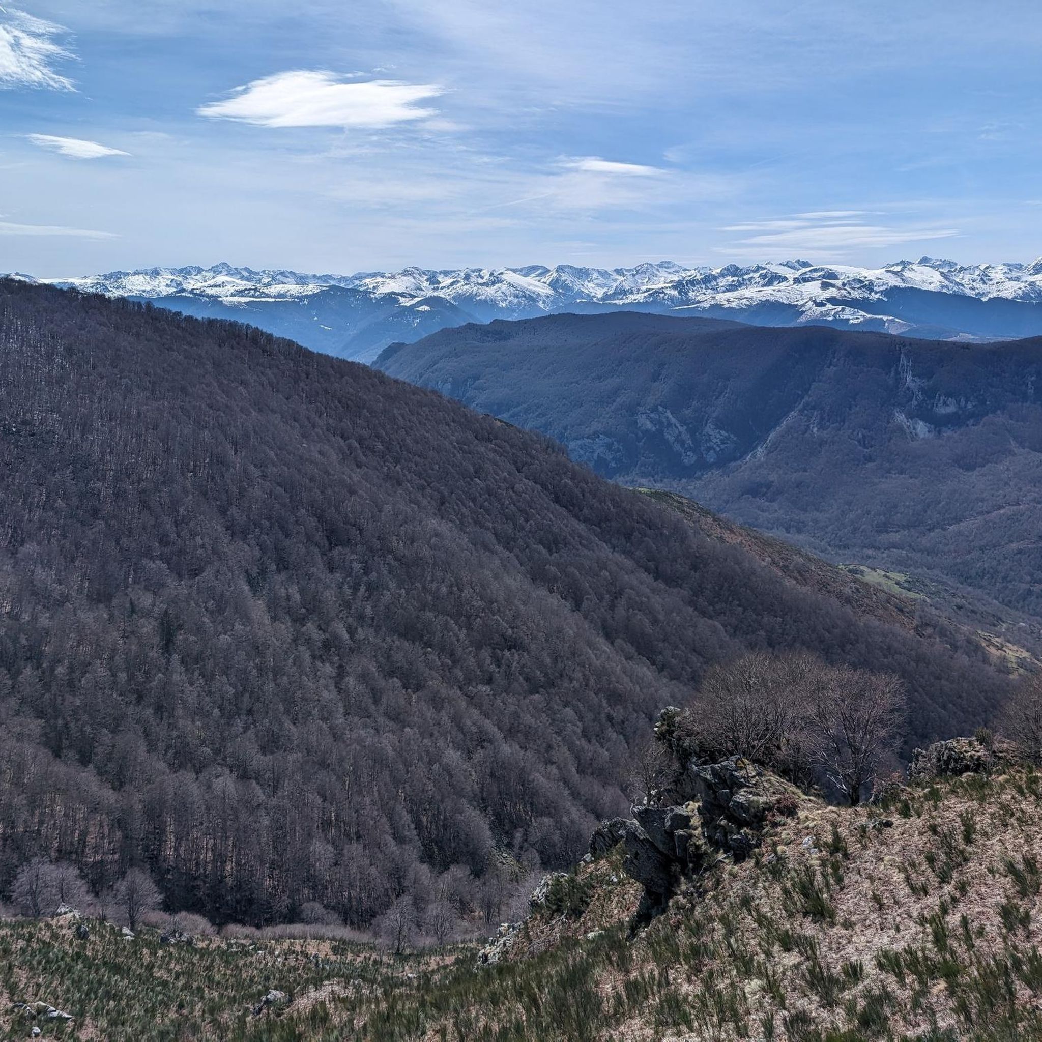
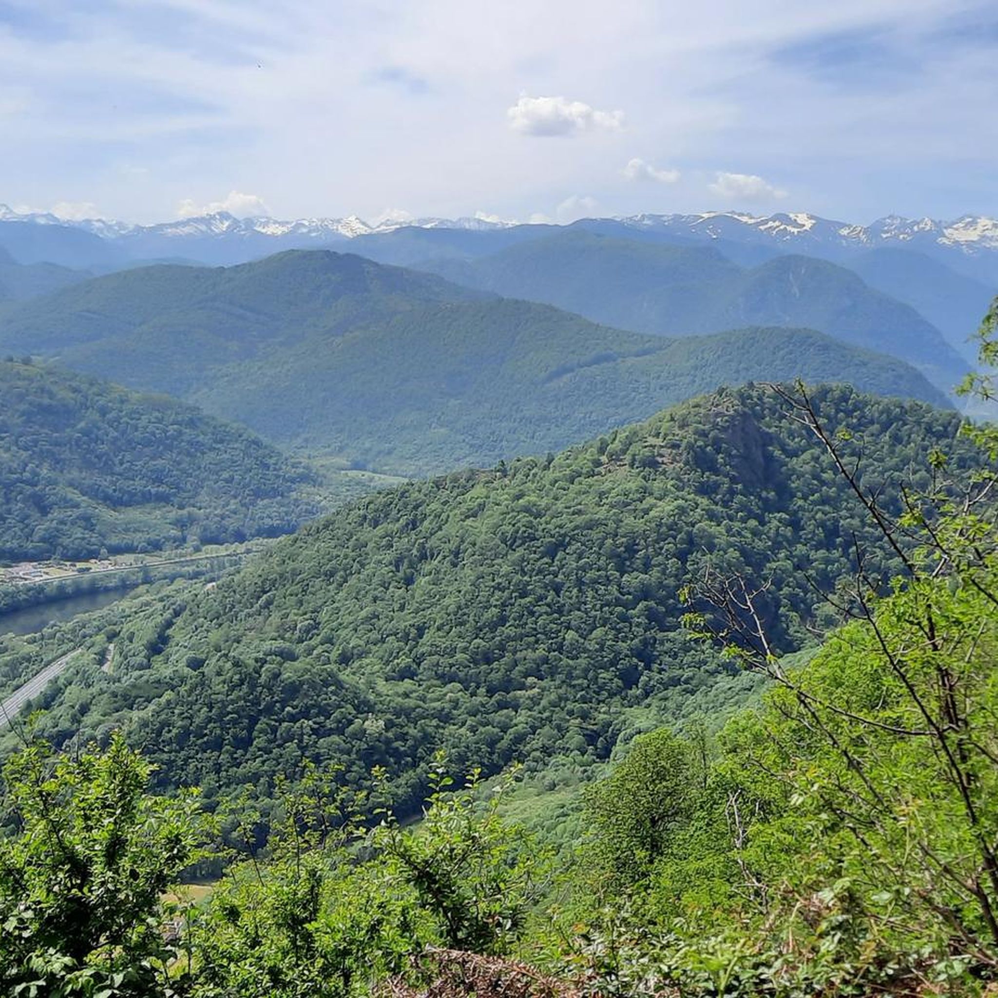
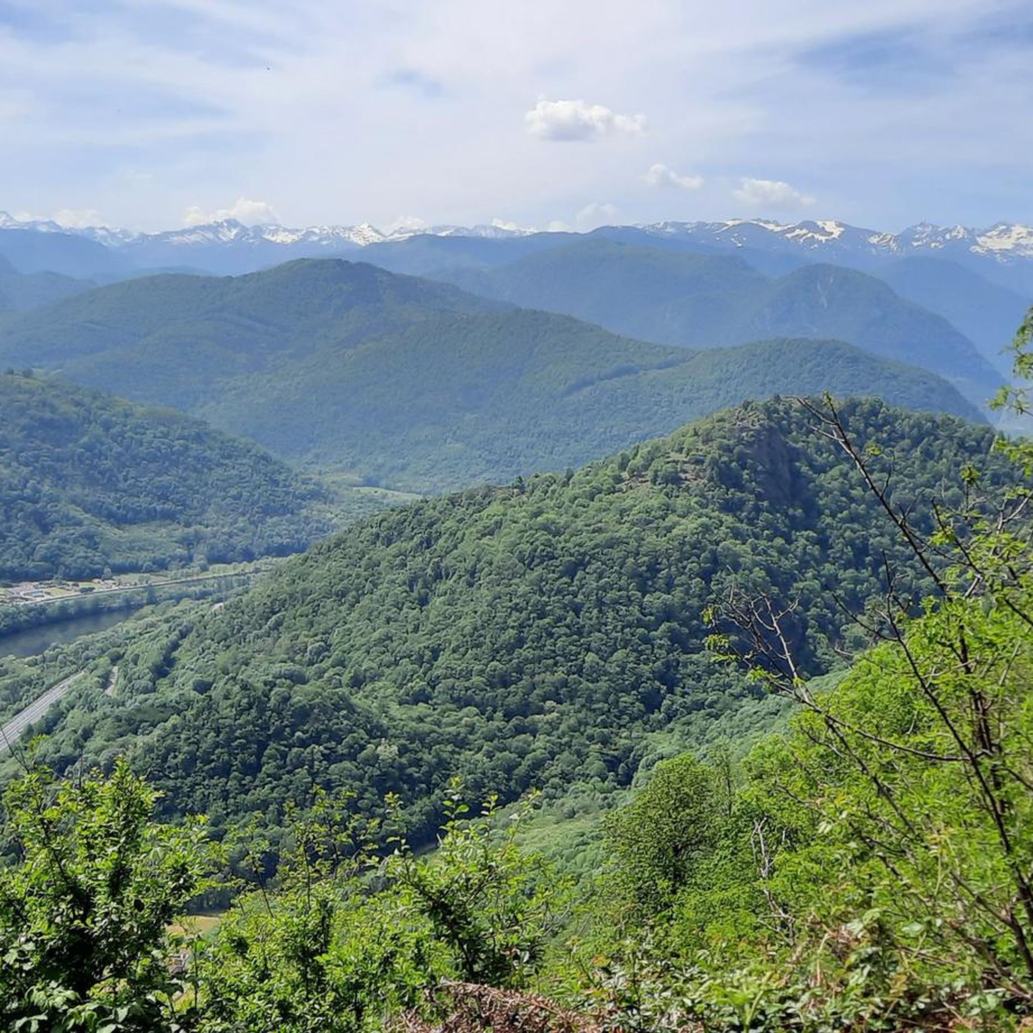
A must-see in Ariège that you should do at least once in your life. The view of the various mountain ranges is splendid.
0
0

Be careful, expert route but what a view
0
0


Beautiful city that deserves a stopover.
0
0

According to legend, following the victory over the Saracens at Pré Lombard in 778, Charlemagne witnessed an apparition. A lady radiant with beauty then appears and immediately disappears. At dawn, the ground is plowed and a bronze statue of Notre-Dame-de-la-Victoire emerges from the ground. Transported to the church of Foix, the statue miraculously returned to Sabart twice: “This is where Our Lady wants to be honored.” Thus was decided the erection of a chapel dedicated to Notre-Dame-de-la-Victoire. The chapel that we can currently see has its origins in a Romanesque church rebuilt in 1104 on a Carolingian church partly destroyed in 865. But it was largely remodeled in the 16th and 19th century. The facade has some granite stones from the 11th century, the remaining bell tower-façade copy only dates from 1842 and the crenellated keep is only from 1870. Having thus resisted numerous destructions, the chapel became an emblematic monument of the Pyrenean region. Sabarthès, in the upper Ariège valley. Even today, an important pilgrimage is held there in September each year.
0
0

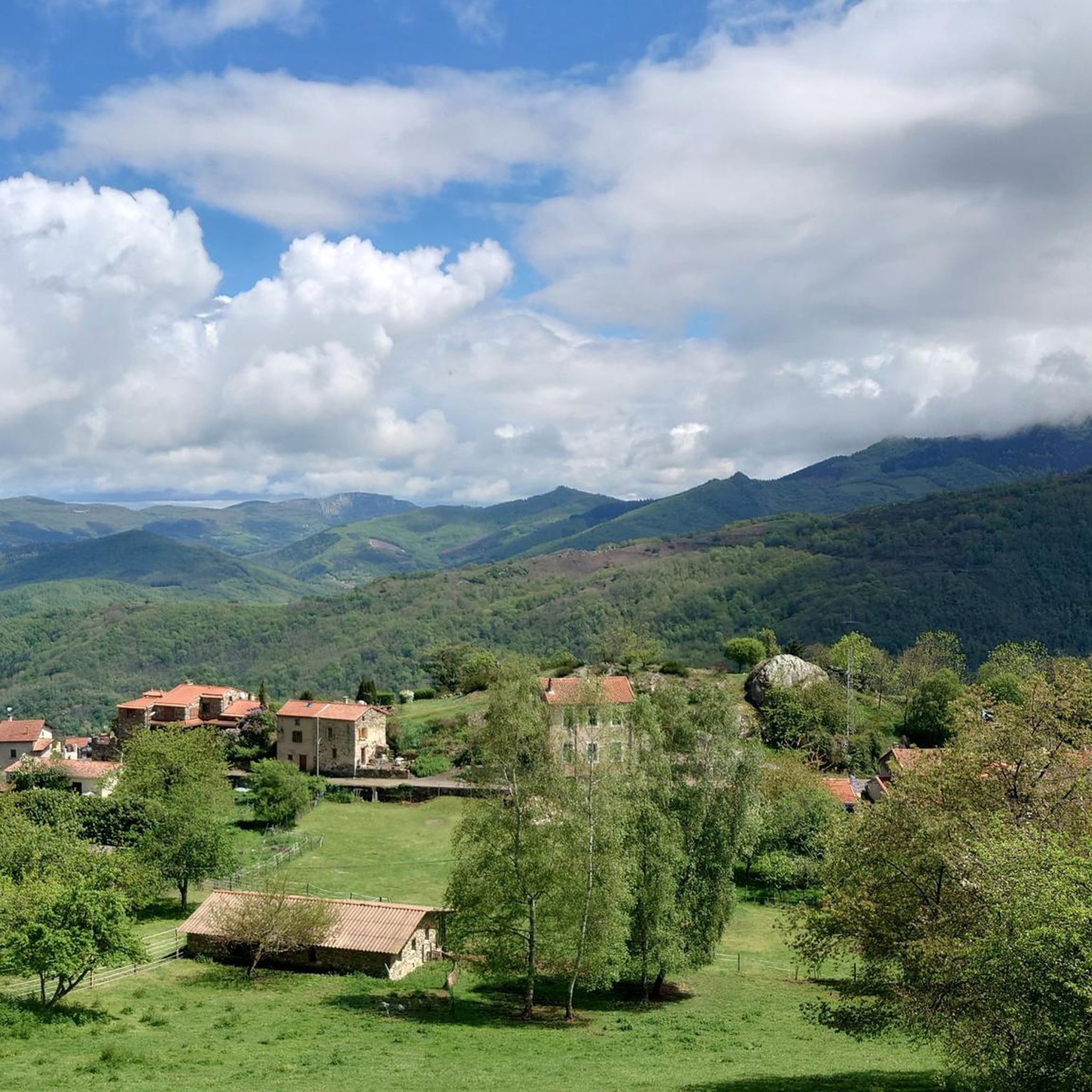
Beautiful town with idyllic river views.
0
0

Located downstream of the Ariège in relation to the town of Foix, this very pretty town is the ideal base camp for many excursions in the surrounding mountains. The upper town was once fortified, and you can still make out the Castella tower which overlooks Tarascon. Every year, in May, the big Fair takes place in the town where many specific animals of the region such as Merens horses and Gascon cows are presented to the public. These two endemic species are the pride of breeders.
0
0

The peak of Saint-Barthélemy in the Tabe massif culminates at 2,348 m and offers a magnificent view of the massif.
0
0
Frequently Asked Questions
How many mountaineering routes are available in Mercus-Garrabet?
There are 6 dedicated mountaineering routes around Mercus-Garrabet, offering a range of challenging experiences in the Ariège Pyrenees.
What is the general difficulty level of mountaineering routes in Mercus-Garrabet?
The mountaineering routes in Mercus-Garrabet are predominantly challenging. There are 4 difficult routes and 2 moderate routes, making it an ideal destination for experienced mountaineers or those looking for a significant physical challenge.
Are there any moderate mountaineering routes in the area?
Yes, while many routes are difficult, there are 2 moderate mountaineering routes available. These still offer a good challenge but might be more accessible for those building up their experience.
What natural landmarks can I discover along mountaineering routes in Mercus-Garrabet?
The region is rich in natural beauty. You can encounter stunning features like Mount Fourcat, the unique Dolomites of Roquefixade, and the serene Devil's Pond. Don't miss the Cascades de la Piche for a beautiful waterfall experience, and enjoy expansive views from the Panoramic View of the Ariège Pyrenees.
Are there any historical sites or castles to explore near the mountaineering trails?
Absolutely. The area around Mercus-Garrabet is dotted with historical sites. You can visit the impressive Roquefixade Castle, explore the town of Foix and its magnificent Foix Castle, or discover the intriguing Miglos Castle.
What do other mountaineers enjoy the most about mountaineering in Mercus-Garrabet?
The area is highly rated by the komoot community, with an average score of 4.7 stars. Mountaineers frequently praise the dramatic mountainous terrain, the extensive forest areas, and the deep valleys that define the region, offering a truly immersive outdoor experience.
Are there any circular mountaineering routes in Mercus-Garrabet?
Yes, several routes are designed as loops, allowing you to start and end at the same point. For example, the Étang d'Artax – Roc de Querquéou loop from Gourbit and the Étang de Moulzoune – Étang du Diable loop from SN 1678 are popular circular options.
What are some of the longer mountaineering routes in the area?
For a longer challenge, consider the Étang de Moulzoune – Étang du Diable loop from SN 1678, which spans 9.4 miles (15.2 km) with over 1000m of elevation gain. Another substantial option is the Mont Fourcat loop from Arnave, covering 7.7 miles (12.4 km).
Are there any mountaineering routes that offer high-altitude lake views?
Yes, the Étang de Moulzoune – Étang du Diable loop from SN 1678 is specifically noted for exploring high-altitude lakes and providing expansive mountain views, making it a fantastic choice for scenic beauty.
What kind of terrain can I expect on the mountaineering routes around Mercus-Garrabet?
The terrain is varied and challenging, characteristic of the Ariège Pyrenees. You'll encounter rugged mountain paths, significant elevation changes, and extensive wooded areas, as 50% of the region is covered by forests. The routes often lead through deep valleys and past prominent peaks.
Are there any routes that explore the Mont d'Olmes area?
Yes, you can explore the Mont d'Olmes region with routes like the Mont d'Olmes loop from Les Monts d'Olmes, which is 9.1 miles (9.1 km) long, or the Mont d'Olmes – Cadène Pass loop from Les Monts d'Olmes, covering 12.8 miles (12.8 km).
Most popular routes around Mercus-Garrabet
Most popular attractions around Mercus-Garrabet

Get inspired with the komoot mobile app


Explore more
Browse the best Mountain Hikes & Routes in other regions.
