The best walks and hikes around Mercus-Garrabet
4.4
(751)
6,737
hikers
14
hikes
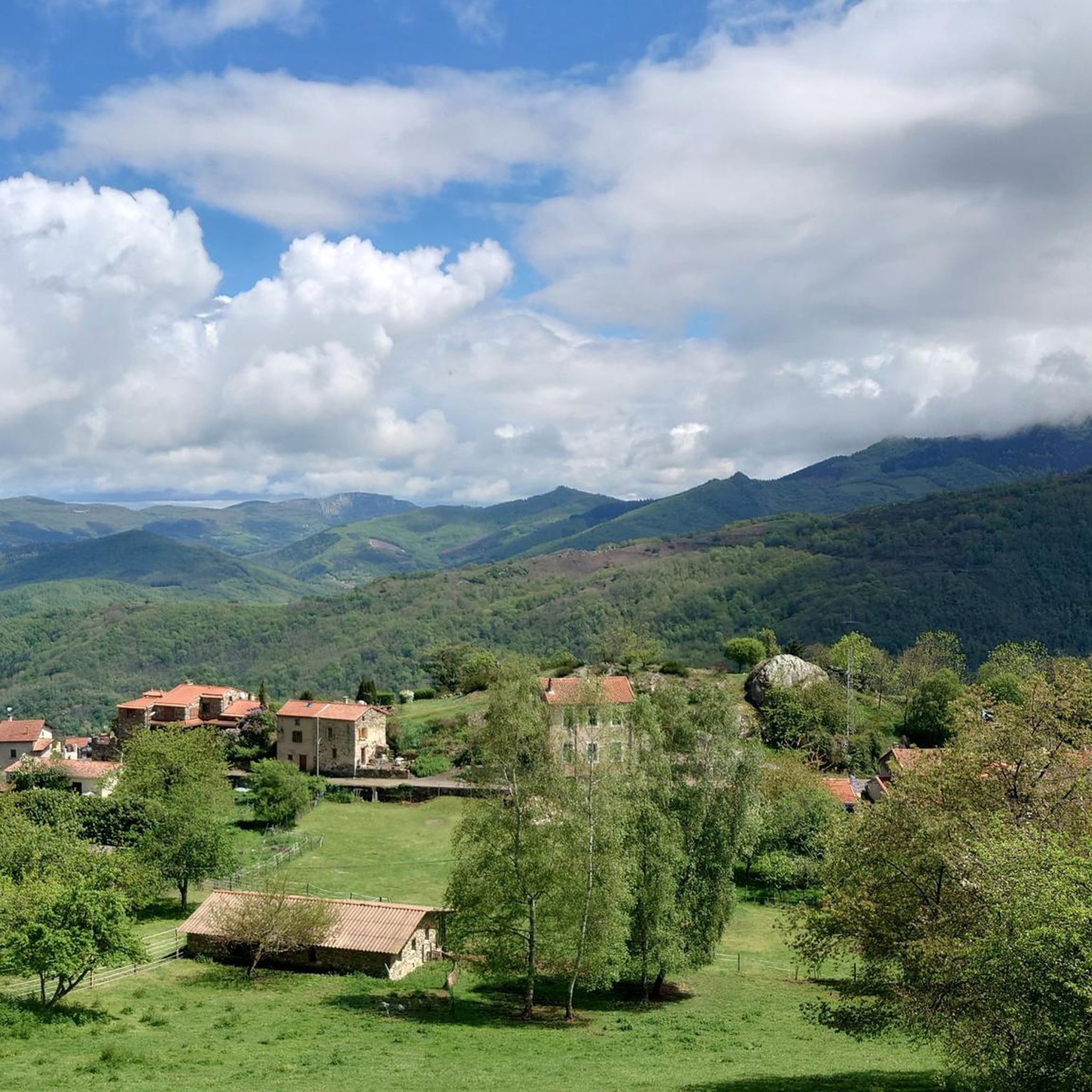
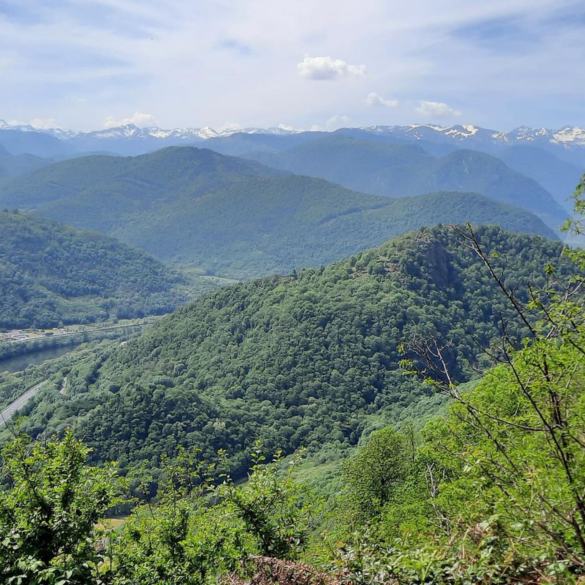
Hiking around Mercus-Garrabet offers diverse natural landscapes within the Ariège department of the French Pyrenees. The region features mountainous terrain with altitudes ranging from 432 to 1603 meters, deep valleys, and extensive forest areas covering 50% of the land. The Ariège River winds through the valley, providing a backdrop for many routes.
Best hiking trails around Mercus-Garrabet
- The most popular hiking route is Le Mont Fourcat - hike starting from the Brougues car park, a 7.0 miles (11.3 km)…
Last updated: May 12, 2026
4.8
(26)
462
hikers
11.3km
04:50
750m
750m
Moderate hike. Good fitness required. Mostly accessible paths. Sure-footedness required.
4.6
(5)
102
hikers
9.68km
04:43
820m
820m
Moderate hike. Good fitness required. Mostly accessible paths. Sure-footedness required.

Sign up for free
4.8
(5)
92
hikers
21.5km
09:19
1,540m
1,540m
Hard hike. Very good fitness required. Mostly accessible paths. Sure-footedness required.
4.0
(2)
15
hikers
7.06km
02:08
230m
230m
Moderate hike. Good fitness required. Easily-accessible paths. Suitable for all skill levels.
4.0
(2)
14
hikers
17.8km
05:41
730m
730m
Hard hike. Very good fitness required. Easily-accessible paths. Suitable for all skill levels.
Get access to more routes and recommendations from other explorers.
Sign up for free
Already have an account?
Our route recommendations are based on thousands of hikes, rides, and runs completed by other people on komoot.
Start today with a free account
Your next adventure awaits.
Login or Signup


Tips from the Community

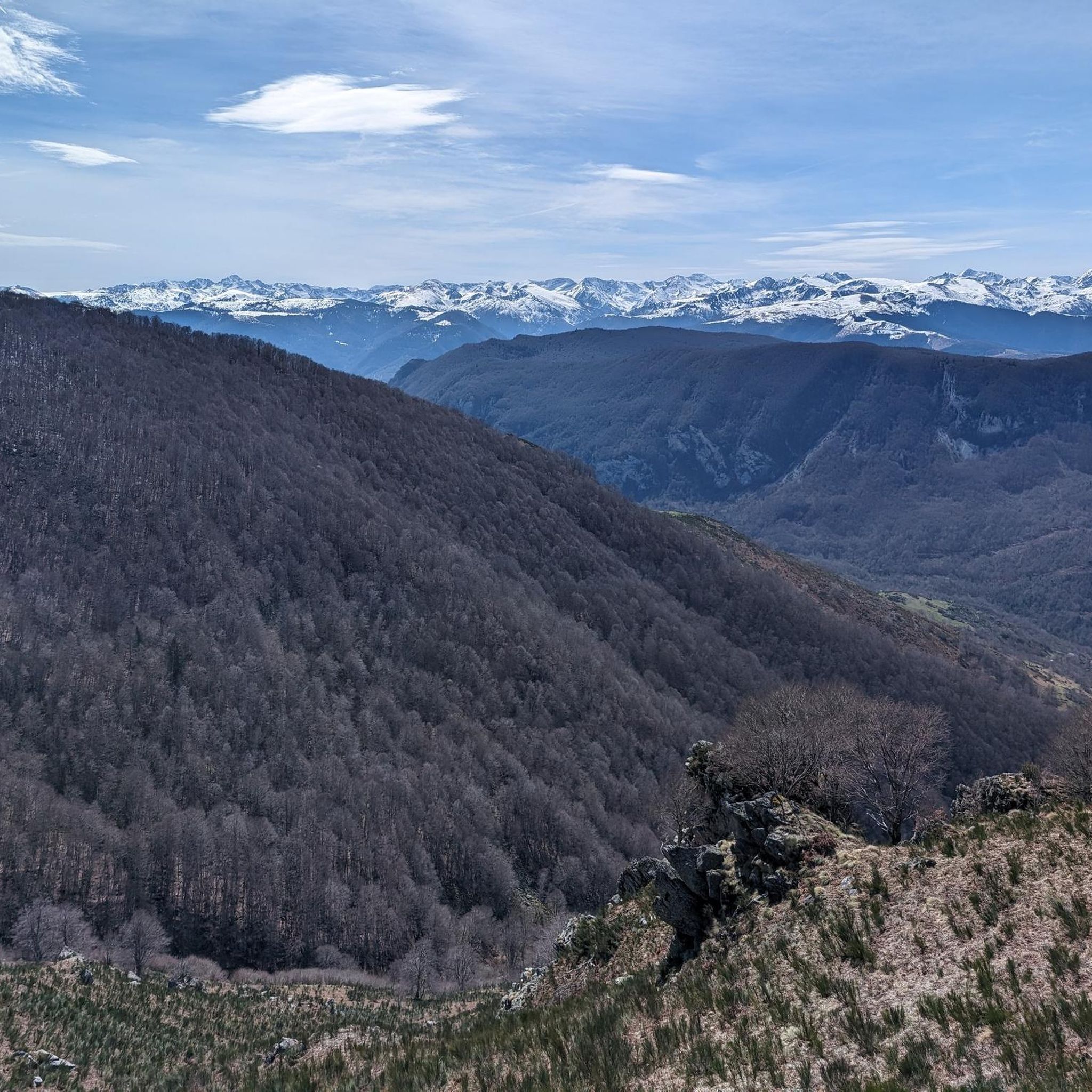
A magnificent location offering stunning views of the Ariège Pyrenees: the Montcalm Massif, the Bassiès Massif, the Beille Plateau, and more. Easily accessible from Croquié in both summer and winter, provided you're well-equipped and at least a little fit (800m+). Its only drawback: it's very crowded, especially in winter.
0
0

Possibility of bivouac and magnificent natural spectacle by numerous griffon vultures
1
1


This unusual bridge is just magnificent!! In addition, it is peaceful and very charming. I love this place. I didn't expect this kind of thing at all. Thank you very much for sharing!!
0
0


The arrival on the bridge is surprising
0
0

Popular hike. Constant and easy climb
0
0
Frequently Asked Questions
How many hiking trails are available around Mercus-Garrabet?
There are 15 hiking trails around Mercus-Garrabet, offering a range of experiences from easy walks to challenging mountain ascents. The komoot community has explored these routes over 6,600 times.
What kind of terrain can I expect on hikes in Mercus-Garrabet?
The region is characterized by diverse mountainous terrain, with altitudes ranging from 432 to 1603 meters. You'll find extensive forests covering 50% of the land, deep valleys, and unique geological formations like the Dolomites of Roquefixade. The Ariège River also winds through the valley, providing picturesque backdrops.
Are there any easy hiking routes suitable for beginners or families?
Yes, there is 1 easy route available. While many routes are moderate, the region offers options for various ability levels. For a moderate option that is not too long, consider the Devil's Bridge loop from Montoulieu, which is 7.1 km and takes about 2 hours 10 minutes.
What are some notable natural landmarks or viewpoints to see while hiking?
Hikers can enjoy stunning views from various points, including the summit of Mount Fourcat, a classic destination in the Ariège Pyrenees. Other highlights include the unique Dolomites of Roquefixade and the serene Étang du Diable, accessible via challenging routes like the Étang de Moulzoune loop.
Are there any historical sites or attractions near the hiking trails?
Yes, the region is rich in history. You can explore the 12th-century Saint-Louis church in Mercus, the legendary Devil's Bridge in Garrabet, and prehistoric monuments like dolmens. The village of Roquefixade, dominated by its picturesque mass of stone, also offers wide panoramas from its watchtower. You can also visit Roquefixade Castle.
What do other hikers say about the trails in Mercus-Garrabet?
The routes in Mercus-Garrabet are highly rated by the komoot community, with an average score of 4.4 out of 5 stars from over 700 reviews. Hikers often praise the diverse landscapes, from dense forests to challenging mountain paths, and the overall natural beauty of the Ariège Pyrenees.
Are there any challenging hikes for experienced mountaineers?
Yes, Mercus-Garrabet offers 4 difficult routes suitable for experienced hikers. An example is the Mont Fourcat Shelter – Mount Fourcat loop from Mercus-Garrabet, a demanding 21.5 km trail with significant elevation gain.
Are there any circular hiking routes in the area?
Many of the trails in Mercus-Garrabet are designed as loops, allowing you to start and end at the same point. For instance, the Aaa – Lauzate Peak loop from Arnave is a moderate 9.7 km path offering varied mountainous terrain.
What is the best time of year to go hiking in Mercus-Garrabet?
The French Pyrenees, including Mercus-Garrabet, are generally best for hiking from late spring through early autumn (May to October) when the weather is milder and trails are clear of snow. Summer offers warmer temperatures, while spring and autumn provide beautiful foliage and fewer crowds.
Are there opportunities for other outdoor activities besides hiking?
Absolutely! Beyond hiking, Mercus-Garrabet offers a range of outdoor pursuits. The nautical base on the Ariège river provides water-skiing, pedal boats, and paddle rentals. Paragliding is also available through the Kymaya association for thrill-seekers.
Where can I find parking for trailheads in Mercus-Garrabet?
Many trailheads, especially for popular routes, have designated parking areas. For example, the hike to Le Mont Fourcat starts from the Brougues car park, indicating that parking is often available near the beginning of routes.
Most popular routes around Mercus-Garrabet
Most popular attractions around Mercus-Garrabet

Get inspired with the komoot mobile app


Explore more
Browse the best Hikes in other regions.
