The best running trails around Mercus-Garrabet
4.5
(94)
4,641
runners
12
runs
Jogging around Mercus-Garrabet offers a challenging experience through a mountainous landscape. The region is characterized by significant elevation changes, with routes often leading to peaks like Mont Fourcat and Roc du Taus. Runners can expect trails that traverse varied terrain, including steep ascents and descents, providing panoramic views of the surrounding area. The natural environment here is well-suited for those seeking demanding running routes.
Best jogging routes around Mercus-Garrabet
- The most popular jogging route is Le Mont Fourcat – trail…
Last updated: July 2, 2026
4.8
(5)
180
runners
11.3km
02:01
750m
750m
Hard run. Very good fitness required. Sure-footedness, sturdy shoes and alpine experience required.
5.0
(2)
122
runners
25.8km
04:49
1,820m
1,820m
Hard run. Very good fitness required. Sure-footedness, sturdy shoes and alpine experience required.

Sign up for free
5.0
(1)
39
runners
32.1km
05:57
2,470m
2,470m
Hard run. Very good fitness required. Sure-footedness, sturdy shoes and alpine experience required.
4.7
(3)
19
runners
10.9km
01:14
210m
210m
Moderate run. Good fitness required. Mostly paved surfaces. Suitable for all skill levels.
5.0
(1)
14
runners
14.5km
02:11
730m
730m
Hard run. Very good fitness required. Mostly paved surfaces. Suitable for all skill levels.
Get access to more routes and recommendations from other explorers.
Sign up for free
Already have an account?
Our route recommendations are based on thousands of hikes, rides, and runs completed by other people on komoot.
Start today with a free account
Your next adventure awaits.
Login or Signup


Tips from the Community

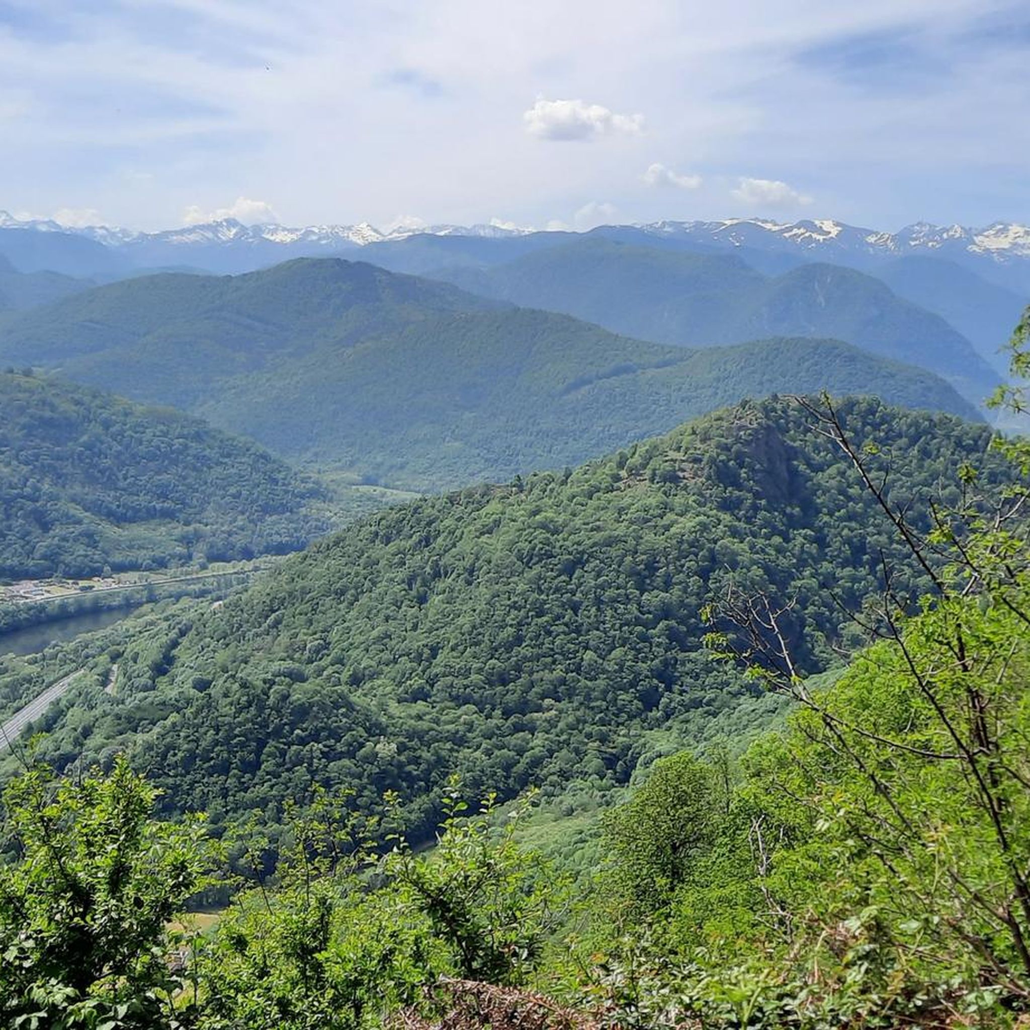
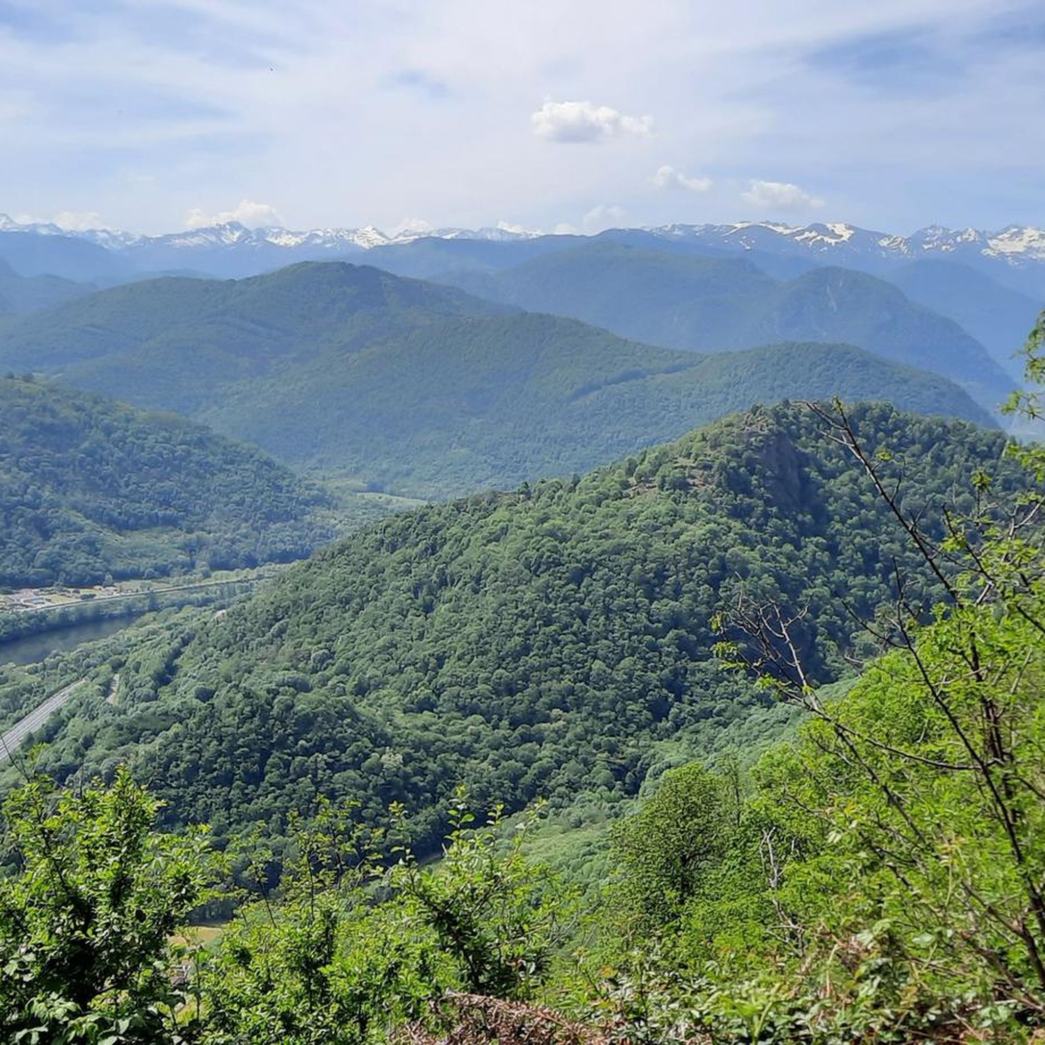
A magnificent location offering stunning views of the Ariège Pyrenees: the Montcalm Massif, the Bassiès Massif, the Beille Plateau, and more. Easily accessible from Croquié in both summer and winter, provided you're well-equipped and at least a little fit (800m+). Its only drawback: it's very crowded, especially in winter.
0
0

Possibility of bivouac and magnificent natural spectacle by numerous griffon vultures
1
1


This unusual bridge is just magnificent!! In addition, it is peaceful and very charming. I love this place. I didn't expect this kind of thing at all. Thank you very much for sharing!!
0
0

The arrival on the bridge is surprising
0
0

Popular hike. Constant and easy climb
0
0

This stone bridge allows you to cross the Ariège and drive on small roads that overlook the river. This way you avoid traffic between Foix and Tarascon-sur-Ariège. The construction of this bridge is linked to a legend whose protagonist is the devil.
0
0
Frequently Asked Questions
How many running routes are available around Mercus-Garrabet?
There are over 200 running routes in the Mercus-Garrabet area. These include a variety of options, with 12 easy, 71 moderate, and 136 difficult trails, catering to different fitness levels.
What kind of terrain can I expect on jogging trails in Mercus-Garrabet?
Jogging in Mercus-Garrabet primarily involves challenging mountain trails with significant elevation changes. You can expect varied terrain, including steep ascents and descents, often leading to panoramic viewpoints of the surrounding Ariège Mountains.
Are there any easy running routes for beginners in Mercus-Garrabet?
Yes, while the region is known for its challenging mountain trails, there are 12 easy running routes available in Mercus-Garrabet. These provide a gentler introduction to the area's natural beauty.
What do other runners say about the trails in Mercus-Garrabet?
The running routes in Mercus-Garrabet are highly rated by the komoot community, with an average score of 4.5 stars from over 70 reviews. Runners often praise the challenging mountain terrain and the extensive panoramic views from peaks like Mont Fourcat.
Are there any circular running routes in Mercus-Garrabet?
Yes, Mercus-Garrabet offers several circular running routes. For example, the difficult Mont Fourcat Shelter – Mount Fourcat 2,002 m loop from Saint-Paul-de-Jarrat is a 16.8-mile (27 km) path offering extensive mountain views. Another option is the Roc du Taus loop from Montoulieu, a difficult 15.2 km route.
What are some notable landmarks or viewpoints I can see while running in Mercus-Garrabet?
Many running routes in Mercus-Garrabet offer stunning views and pass by significant landmarks. You can encounter mountain peaks such as Mount Fourcat and Saint-Barthélemy Peak. There are also viewpoints like the View of the Ariège Mountains from Clot de la Carbonnière, providing expansive vistas.
Are there any running trails that lead to mountain passes?
Yes, the mountainous landscape of Mercus-Garrabet includes several passes that can be incorporated into running routes. You might encounter passes such as La Lauze Pass, Pas de Souloumbrie, or Porte-Pa Pass, offering unique challenges and views.
What is a challenging long-distance running option in the area?
For a challenging long-distance run, consider the Mount Fourcat 2,002 m – Mont Fourcat Shelter loop from Mercus-Garrabet. This difficult route spans approximately 32 kilometers and features significant elevation gain, making it a demanding option for experienced runners.
What is the typical duration for a difficult running route in Mercus-Garrabet?
The duration for difficult running routes in Mercus-Garrabet varies significantly based on distance and elevation. For example, the Le Mont Fourcat – trail starting from the Brougues car park, a 7-mile (11 km) difficult trail, typically takes around 2 hours to complete. Longer routes, like the 16-mile (26 km) Mont Fourcat Shelter – Mount Fourcat loop from Mercus-Garrabet, can take nearly 5 hours.
Are there any specific peaks that running routes often lead to?
Many running routes in Mercus-Garrabet are centered around prominent peaks. Mont Fourcat is a frequent destination, with several trails leading towards or around it, such as the Le Mont Fourcat – trail starting from the Brougues car park. Roc du Taus is another significant peak featured in routes like the Roc du Taus loop from Montoulieu.
Most popular routes around Mercus-Garrabet
Most popular attractions around Mercus-Garrabet

Get inspired with the komoot mobile app


Explore more
Browse the best Running Trails & Routes in other regions.
