The best running trails around Wasserburg
4.4
(150)
6,960
runners
15
runs
Jogging around Wasserburg offers diverse terrain within a unique geographical setting. The town's historic center is situated on a peninsula almost entirely encircled by the Inn River, providing scenic water views and varied paths. The landscape features steep cliffs along the Inn, offering elevated viewpoints, and is surrounded by rolling green hills. Joggers can find routes along the riverbanks and through the adjacent countryside.
Best jogging routes around Wasserburg
- The most popular jogging route is Boenlesgrab Pass – Petit Ballon…
Last updated: June 29, 2026
49
runners
18.7km
02:59
1,140m
1,140m
Hard run. Very good fitness required. Sure-footedness, sturdy shoes and alpine experience required.
21
runners
Hard run. Very good fitness required. Mostly paved surfaces. Suitable for all skill levels.

Sign up for free
4.0
(1)
23
runners
13.4km
01:47
440m
440m
Hard run. Very good fitness required. Sure-footedness, sturdy shoes and alpine experience required.
19
runners
18.6km
02:45
920m
920m
Hard run. Very good fitness required. Sure-footedness, sturdy shoes and alpine experience required.
9
runners
13.9km
02:09
630m
630m
Hard run. Very good fitness required. Sure-footedness, sturdy shoes and alpine experience required.
Get access to more routes and recommendations from other explorers.
Sign up for free
Already have an account?
Our route recommendations are based on thousands of hikes, rides, and runs completed by other people on komoot.
Start today with a free account
Your next adventure awaits.
Login or Signup
Tips from the Community

The break with the Münsterland cheese was absolutely fantastic! It was so delicious 😋 #Break #Cheese #Treat #Enjoyment
0
0

A challenge on a mountain bike without a motor. But the downhill trails are great. It's worth it 👍🏻
2
0

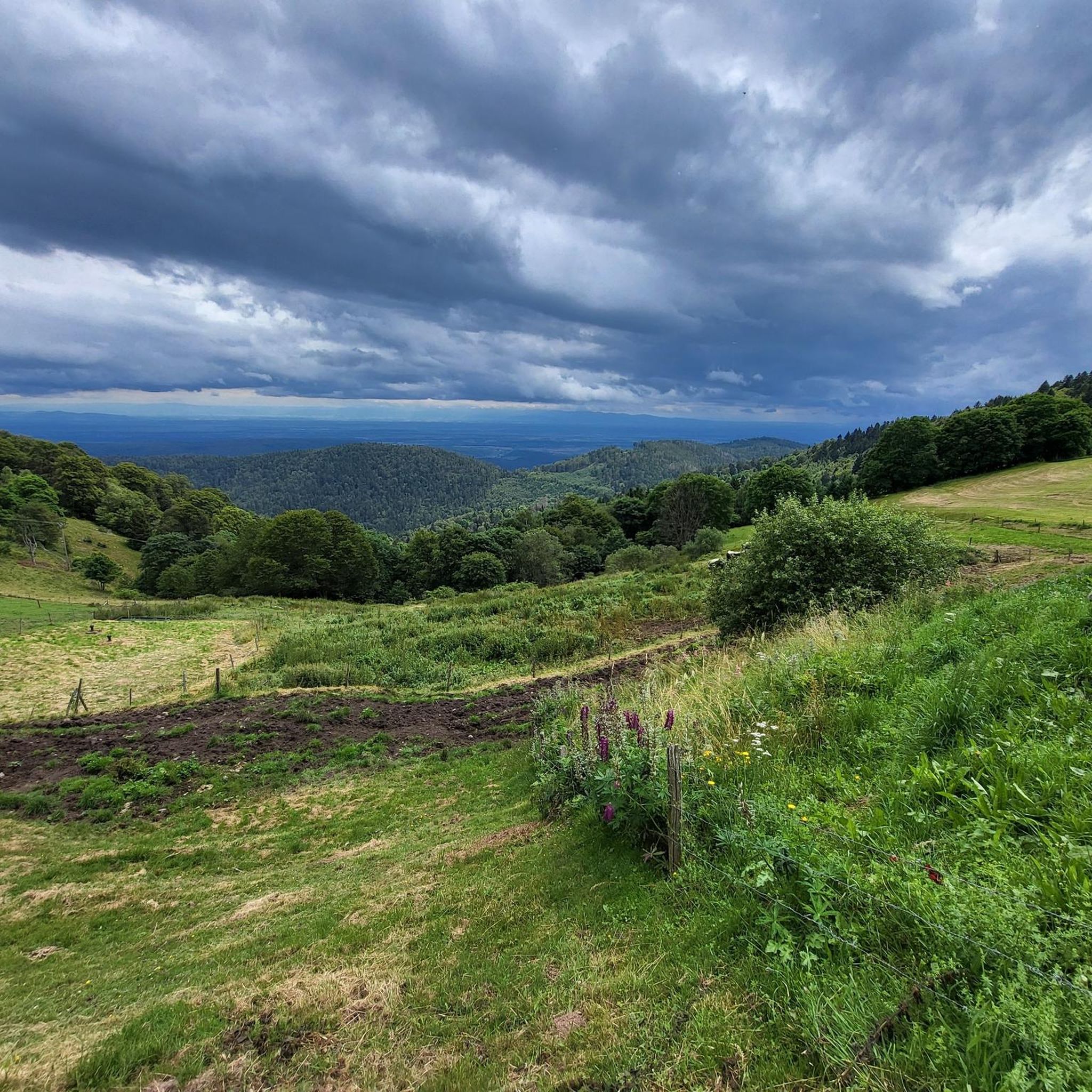
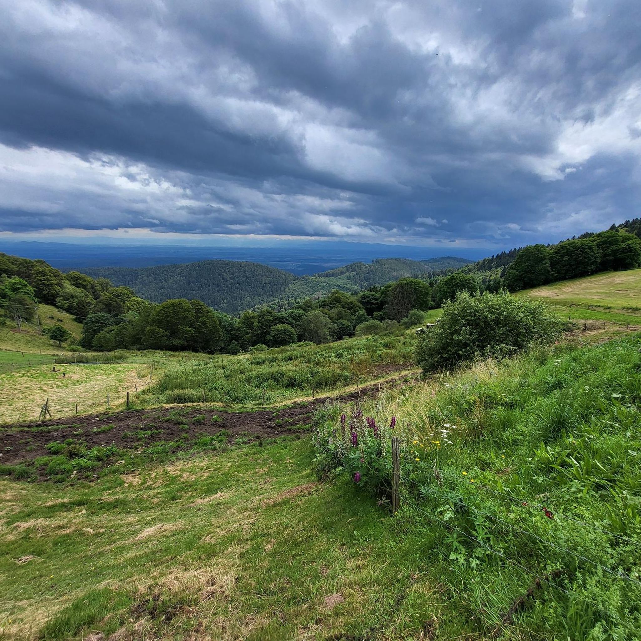
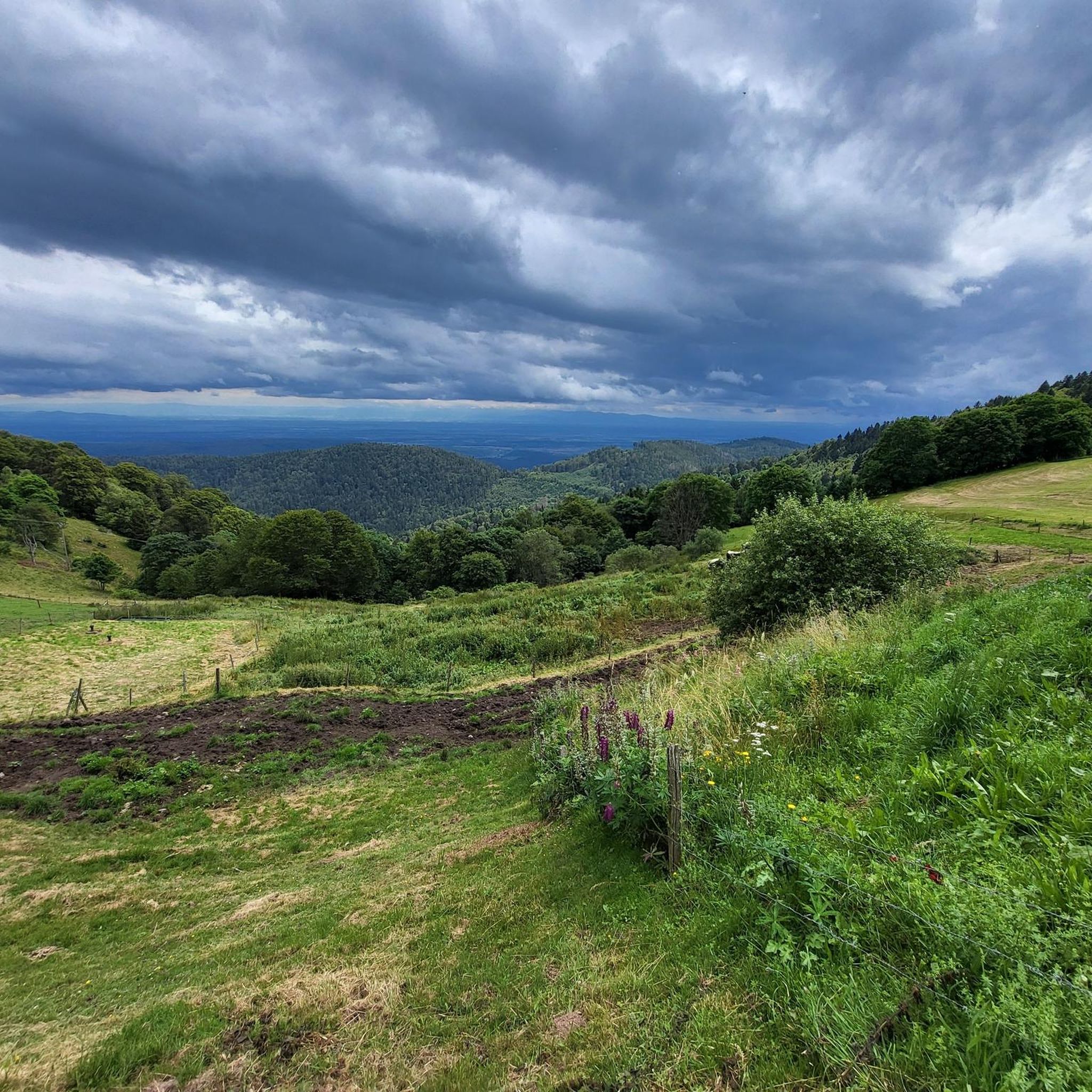
A statue of the Virgin watches over the valley from the summit of Petit Ballon. It was erected by the tenant of the Ballon farm in 1862 after surviving a violent snowstorm in 1860.
1
0

Quite rustic - very warm hospitality. Very cheap!
2
0

Drinks are available for guests (food is only cooked by and for the overnight guests)... top location below the Petit Ballon. If you want something to eat - there is the Ferme Auberge further down 😉
1
0

A really beautiful trail. Mostly easy to ride. It gets rocky in a few short sections. You have to watch out for the rear derailleur here. I think difficulty level S1-S2 is appropriate here.
0
1
These French auberges are simply beautiful
1
1

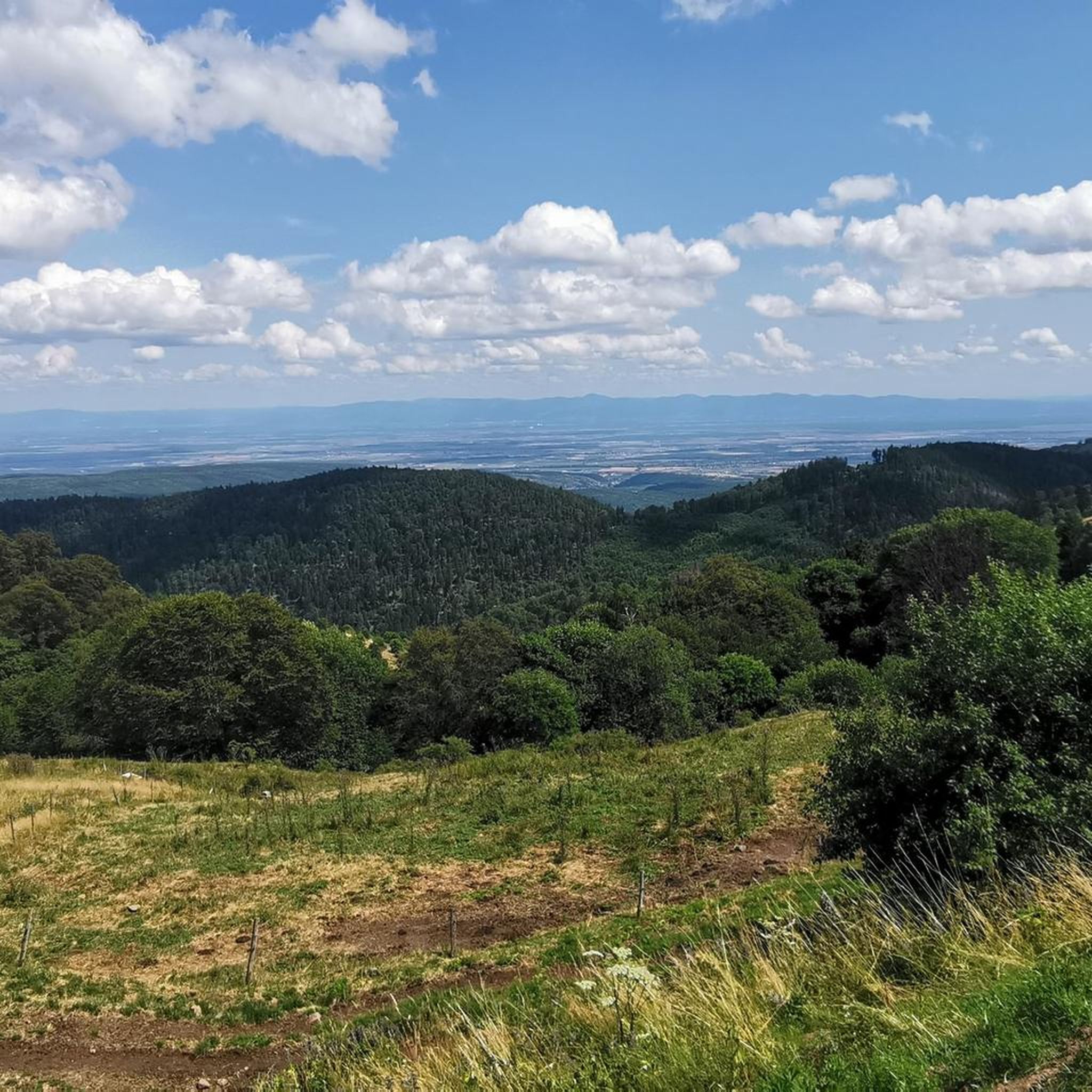
The way up is full of street paintings from the last Tour de France stages that went up there. It's a special feeling even without all the extras and I can recommend everyone to try the climb. Once you're at the top, you have the choice between different descents. I opted for the gravel descent, which was an additional physical challenge as it was very steep and rocky. There is a lovely mountain pasture on the way down where you can recharge your batteries with blueberry cake, coffee and non-alcoholic beer (Ferme Auberge Strohberg). It's also a good place to go if you've "forgotten" your bars and gel.
3
0
Frequently Asked Questions
What kind of terrain can I expect on the running routes around Wasserburg?
Jogging around Wasserburg offers a diverse landscape. You'll find paths along the meandering Inn River, providing scenic water views. The area also features steep cliffs, offering elevated viewpoints, and is surrounded by rolling green hills. Most routes listed are considered difficult, indicating varied and potentially challenging terrain.
Are there any easy jogging routes available in Wasserburg am Inn?
The komoot community has primarily rated the available jogging routes around Wasserburg as difficult. Currently, there are no routes categorized as easy or moderate in our selection, suggesting that most trails involve significant elevation changes or challenging surfaces.
What do other runners enjoy most about jogging in Wasserburg?
The running routes in Wasserburg are highly rated by the komoot community, with an average score of 4.4 stars from over 130 reviews. Runners often praise the varied terrain, the stunning views of the Inn River, and the opportunities for challenging ascents.
Can I find routes with panoramic views or scenic landmarks?
Absolutely! Wasserburg's unique geography, with its position on a peninsula almost entirely encircled by the Inn River, naturally offers many scenic spots. Routes often feature elevated viewpoints and paths along the river. For example, the Petit Ballon Summit loop from Wasserbourg promises high-altitude terrain with panoramic summit views.
Are there any historical or natural attractions to see along the running trails?
Yes, the region offers several points of interest. You can explore various castles, such as The Three Castles of Eguisheim or Hohlandsbourg Castle. For natural beauty, there are impressive mountain peaks like Hohneck and Petit Ballon, as well as the unique Wormspel Combe.
Are there any circular running routes in the Wasserburg area?
Yes, many of the routes are designed as loops, allowing you to start and finish in the same location. Examples include the Boenlesgrab Pass – Petit Ballon Pass (1,163 m) loop from Col de Boenlesgrab and the Petit Ballon – Steinberg rocks loop from Col de Boenlesgrab, which offers varied mountain and rocky landscapes.
What is the longest running route available in Wasserburg?
One of the longer options is the Petit Ballon – Steinberg rocks loop from Col de Boenlesgrab, which spans 11.6 miles (18.6 km) and typically takes about 2 hours 45 minutes to complete through varied mountain and rocky terrain.
Are there any running routes that lead through mountain passes?
Yes, several routes in the area feature mountain passes. For instance, the Boenlesgrab Pass – Petit Ballon Pass (1,163 m) loop from Col de Boenlesgrab is a 4.6-mile (7.4 km) trail specifically designed to lead through mountain passes, offering a challenging experience.
How many running routes are there in Wasserburg am Inn?
Komoot lists 14 running routes around Wasserburg am Inn. These routes cater to various preferences, though all are currently categorized as difficult, offering a good challenge for experienced runners.
What kind of elevation gain can I expect on these trails?
The routes around Wasserburg often feature significant elevation changes. For example, the Petit Ballon – Steinberg rocks loop from Col de Boenlesgrab includes an elevation gain of over 922 meters, providing a substantial workout and rewarding views.
Are there any running routes suitable for exploring the historic town center?
While the listed routes focus on the surrounding natural landscape and mountain areas, Wasserburg's historic center is situated on a peninsula almost entirely encircled by the Inn River. This provides opportunities for scenic runs along the riverbanks, offering views of the old town's unique architecture. The Sculpture Trail along the Inn River is also a great option for a culturally rich run.
Most popular routes around Wasserburg
Most popular attractions around Wasserburg

Get inspired with the komoot mobile app


Explore more
Browse the best Running Trails & Routes in other regions.
