The best gravel rides around Wasserburg
4.6
(60)
486
riders
48
rides
Gravel biking around Wasserburg features a landscape characterized by rolling hills, river valleys, and extensive forests, offering varied terrain for off-road cycling. The region includes a mix of agricultural paths and woodland trails, providing diverse surfaces for gravel bikes. Elevations are generally moderate, making many areas accessible for different skill levels. The Inn River, which almost entirely embraces the town, contributes to picturesque riverside views.
Best gravel bike trails around Wasserburg
- The most popular gravel bike trail is Turckheim town…
Last updated: October 6, 2026
4.3
(12)
105
riders
46.3km
02:48
480m
480m
Hard gravel ride. Very good fitness required. Mostly paved surfaces. Suitable for all skill levels.
4.3
(3)
9
riders
33.2km
02:47
940m
940m
Hard gravel ride. Very good fitness required. Mostly paved surfaces. Suitable for all skill levels.

3
riders
23.0km
02:27
710m
710m
Hard gravel ride. Very good fitness required. Mostly paved surfaces. Suitable for all skill levels.
4.0
(4)
9
riders
30.2km
02:23
920m
920m
Hard gravel ride. Very good fitness required. Mostly paved surfaces. Suitable for all skill levels.
7
riders
35.9km
02:50
880m
890m
Hard gravel ride. Very good fitness required. Mostly paved surfaces. Suitable for all skill levels.
Get access to more routes and recommendations from other explorers.
Already have an account?
Our route recommendations are based on thousands of hikes, rides, and runs completed by other people on komoot.
Start today with a free account
Your next adventure awaits.

Tips from the Community


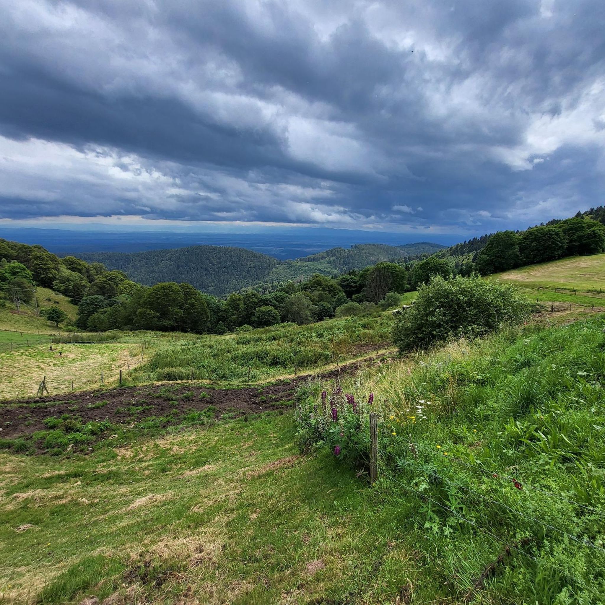
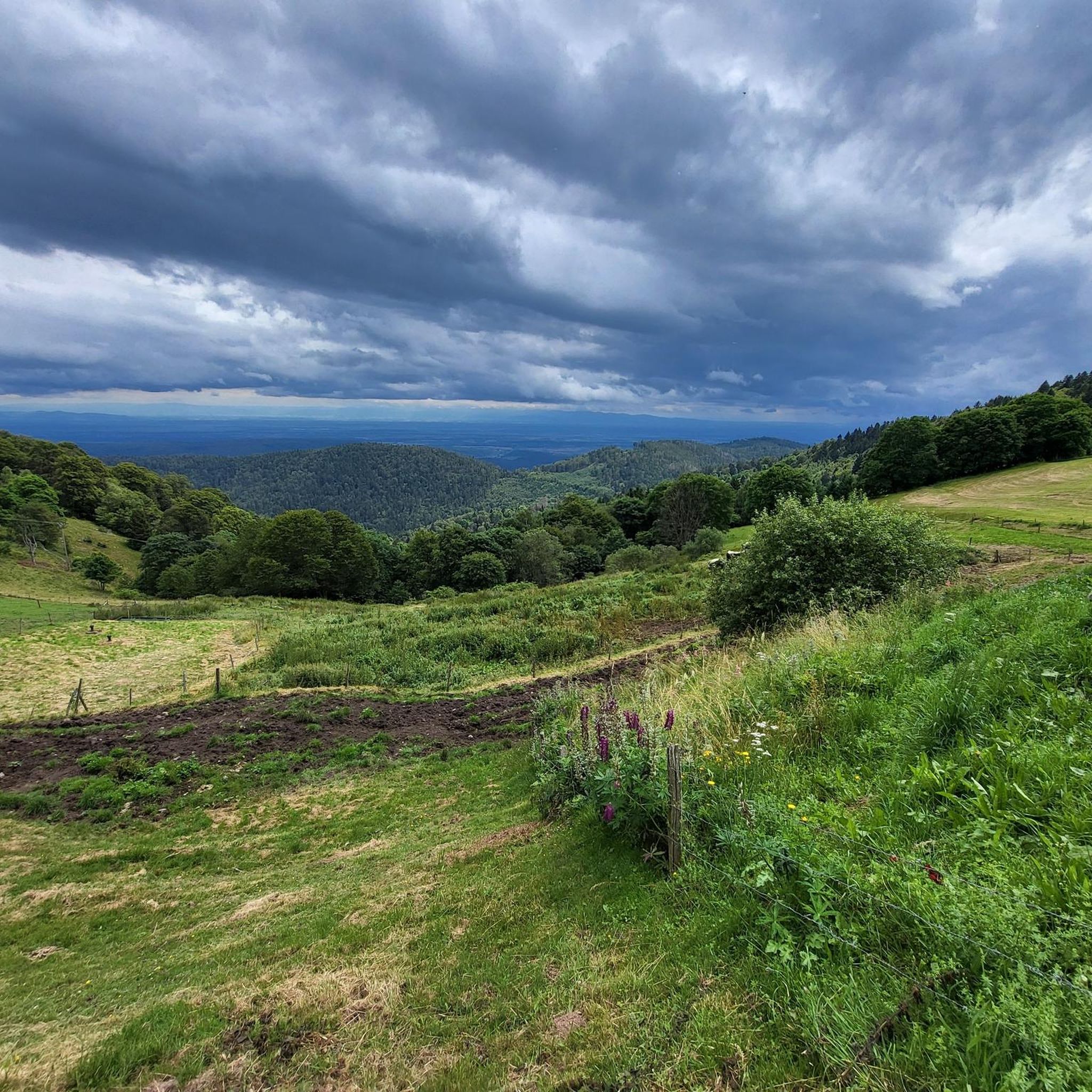
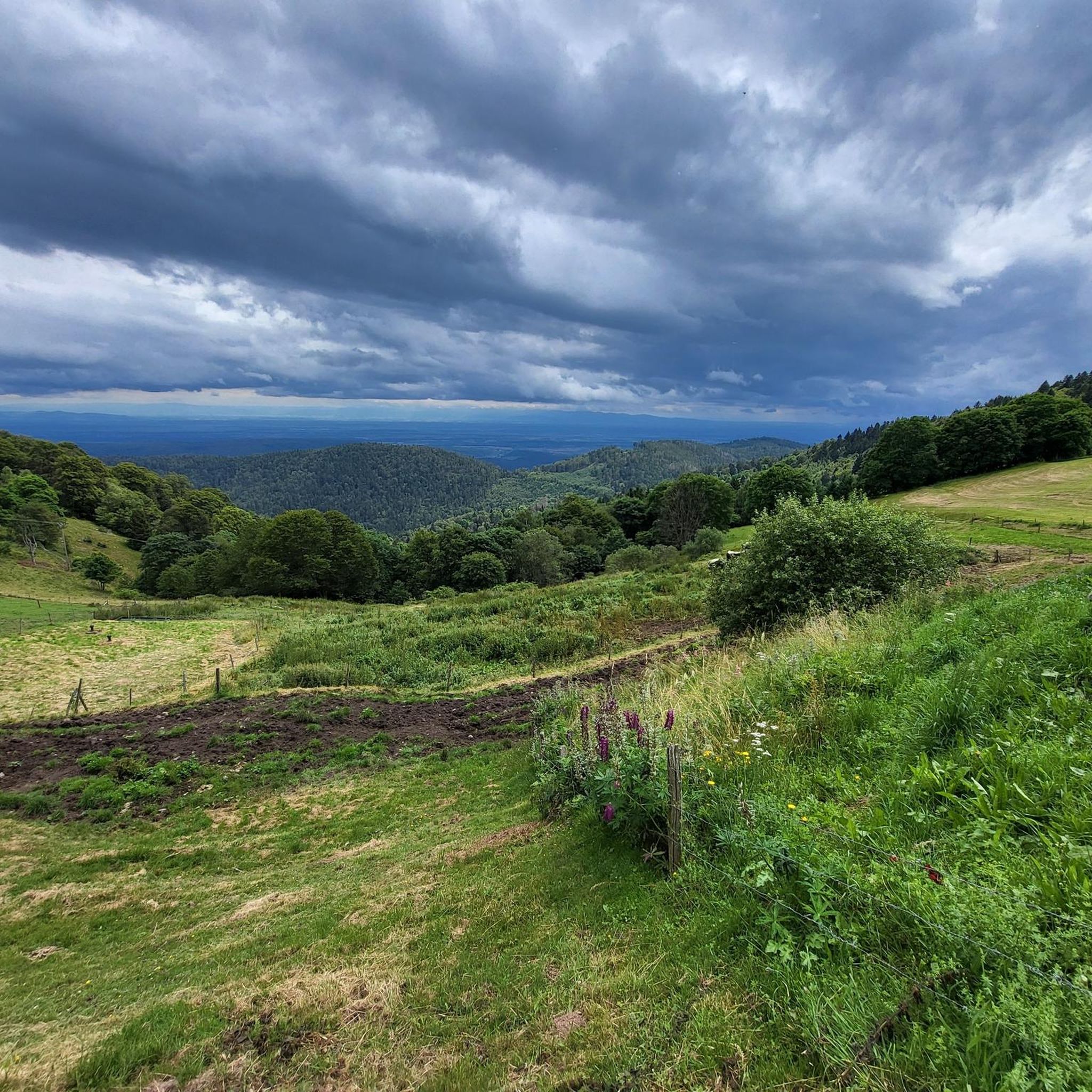
The Route des Crêtes (from the D430 near Rothenbach) is one of the most beautiful ridge roads in Europe. The road was originally built in 1914 by the French army to supply the troops at the front during World War I. Today, it is an iconic panoramic route that connects the main peaks of the Vosges.
1
0
This view is even more beautiful if you have climbed via the Col de Bramont to the col du Rodenbach. So recognizable.
4
0
The Route des Crêtes (the D430 near Rothenbach) is one of the most beautiful ridge routes in Europe. The road was originally built in 1914 by the French army to supply troops at the front in World War I. Today, it is an iconic panoramic route that connects the main peaks of the Vosges.
4
0
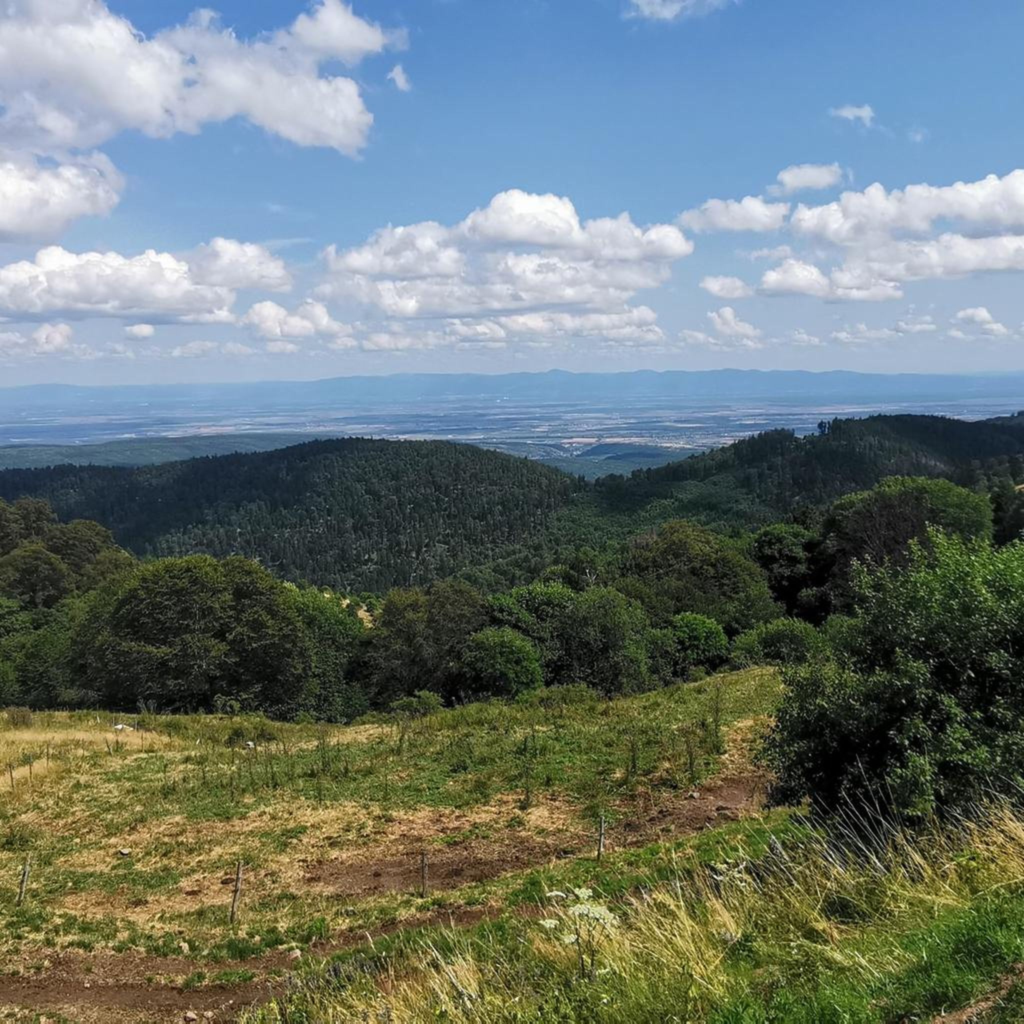
The highlight is on the Route des Crêtes and concerns the Rothenbach pass at 1210m. The kopf is still 100 m higher (1316 m). The Rothenbach pass is located on an open mountain saddle in the High Vosges, just below the Rothenbachkopf (1316 m). The pass is around 1210 meters high and forms a natural transition between the ridges of the Rainkopf and the Batteriekopf. The landscape consists of wide, treeless mountain meadows (chaumes) created by centuries of grazing and the harsh climate at this altitude. From the pass, you have a panoramic view of the Mittlach valley, the Hohneck, and the long ridges of the Ballons massif. Very beautiful pass with those bare expanses.
4
0
The Col du Rothenbach is a 5-kilometer climb. This is a category 2 climb. The average gradient of this climb is 6.6% with a maximum of 9%. The Col du Rothenbach rises from 903 meters at the start to 1,234 meters at the top, with a total of 331 meters of elevation gain.
5
0
The Col du Rothenbach is a 1205-meter-high mountain pass in the High Vosges. The pass is located directly on the famous, panoramic Route des Crêtes (D430) and lies within the territory of the municipality of Wildenstein. The pass is situated in the heart of the Hautes Chaumes du Rothenbach protected nature reserve, known for its characteristic high-altitude meadows (chaumes) and subalpine flora. For cyclists, the col is mainly known as a link station or a rolling intermediate section (approx. 5 kilometers of climbing depending on the approach) on the ridge route between Le Markstein and the Col de la Schlucht.
5
0

The ascent to the Col du Firstplan from Soultzbach-les-Bains is steady. The road surface is good and occasionally a tuned car whizzes past. There are few lay-bys on the roadside for a short stop, but at the top of the Col there is a picnic area.
0
0
Frequently Asked Questions
How many gravel bike trails are available in Wasserburg?
The Wasserburg region offers over 50 gravel bike trails, catering to various skill levels. You'll find a diverse network of paths through rolling hills, river valleys, and extensive forests.
What is the best season for gravel biking in Wasserburg?
While gravel biking is enjoyable throughout much of the year, spring and autumn often provide the most pleasant conditions with mild temperatures and vibrant scenery. Summer can also be great, especially in forested areas offering shade. Winter riding is possible, but be prepared for potentially colder temperatures and varying trail conditions.
Are there any family-friendly gravel bike trails around Wasserburg?
Yes, Wasserburg has a few easier routes suitable for families. For instance, the region offers 2 easy-rated tours that navigate through less challenging terrain, allowing for a more relaxed experience. These routes typically feature moderate elevations and well-maintained paths.
What kind of terrain can I expect on gravel bike trails in Wasserburg?
Gravel bike trails in Wasserburg feature a varied terrain, including agricultural paths, woodland trails, and sections through river valleys. You'll encounter a mix of surfaces, from compacted gravel to forest tracks, with generally moderate elevations. Some routes, however, do include significant climbs.
Are there options for advanced gravel bikers looking for a challenge?
Absolutely. The Wasserburg area is particularly well-suited for advanced riders, with 42 out of 55 routes rated as difficult. Trails like La route des crêtes – The ridge road loop from Metzeral offer substantial elevation gains and challenging sections, providing a demanding experience for experienced gravel bikers.
Can I find circular gravel bike routes in the Wasserburg area?
Many of the gravel bike routes in Wasserburg are designed as loops, allowing you to start and finish at the same point. An example is the Pinot Bend – Boenlesgrab Pass loop from Munster Badischhof, which offers a challenging circular ride through varied landscapes.
Are there gravel bike trails with scenic viewpoints or places to stop for a break?
Yes, many routes in Wasserburg pass through scenic areas with viewpoints. The region's rolling hills and river valleys often provide picturesque vistas. You'll also find opportunities to stop for breaks, especially in charming villages or near natural attractions. For example, the Munster Protestant Church – Munster loop from Munster leads through a mix of open and forested areas, likely offering pleasant spots to pause.
What are some interesting natural attractions I can see near the gravel bike trails?
The Wasserburg region is rich in natural beauty. You can explore highlights such as Petit Ballon, a prominent summit, or serene bodies of water like Lake Schiessrothried and Lake Fischboedle. These natural monuments offer stunning scenery and great spots for a break during your ride.
Are there historical sites or castles accessible from the gravel bike routes?
Yes, the area around Wasserburg is dotted with historical sites. You can find impressive structures like Hohlandsbourg Castle or the intriguing The Three Castles of Eguisheim. These historical landmarks provide fascinating points of interest to explore off the bike or as part of your route.
What do other gravel bikers say about the trails in Wasserburg?
The gravel biking routes in Wasserburg are highly rated by the komoot community, with an average score of 4.5 stars from over 80 reviews. Riders often praise the varied terrain, the challenging climbs, and the beautiful natural landscapes that make for a rewarding cycling experience.
How long do gravel bike trails typically take to complete in Wasserburg?
The duration of gravel bike trails in Wasserburg varies significantly based on their length and difficulty. For example, a moderate 19.9-mile (32.0 km) trail might take around 2 hours 28 minutes, while a more challenging 37.7-mile (60.6 km) route with significant elevation can take closer to 4 hours 51 minutes.
Where can I find parking for gravel bike trails in Wasserburg?
Many trailheads and starting points for gravel bike routes in the Wasserburg region offer designated parking areas. It's common to find parking available in or near the towns and villages where routes begin, such as Gunsbach or Munster, providing convenient access to the trails.
Most popular routes around Wasserburg
Most popular attractions around Wasserburg

Get inspired with the komoot mobile app


Explore more
Browse the best Gravel rides in other regions.
